One of the most common questions I get regarding hiking in San Diego after “where can I hike with my dog?” is “can you tell me any good backpacking spots?” People are often surprised to find that there are so many potential backpacking opportunities so close to the city. This shouldn’t be a surprise given that the county features 133 miles of the Pacific Crest Trail, two separate districts of the sprawling Cleveland National Forest, and endless camping opportunities in Anza-Borrego Desert State Park.

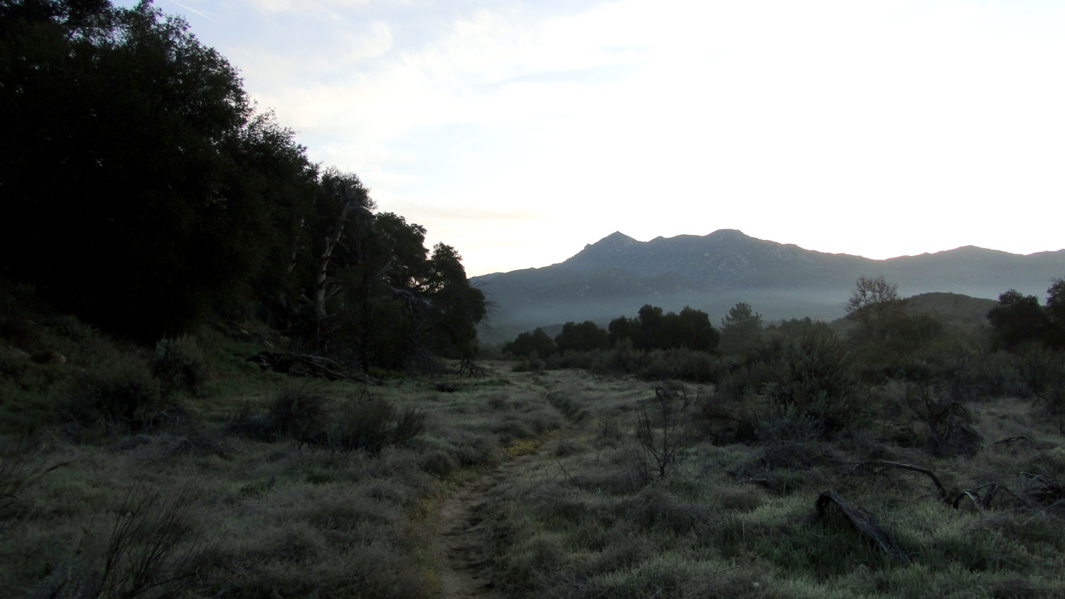
The Pacific Crest Trail with Hot Springs Mountain in the distance
Of all of these backpacking locations, few are as accessible, user-friendly, and pleasant as Agua Caliente Creek. In this scenic canyon just north and east of Warner Springs, the Pacific Crest Trail follows a reliable source of running water for a little over four miles beneath the shade of sycamores, cottonwoods, willows, coast live oaks, and Engelmann oaks. Lovely camping spots along the south bank of the creek present appealing options for backpacking. The Palomar District of Cleveland National Forest recently abandoned their lack of red tape backpacking policies, meaning you now have to fill out a permit request, fax it in to the Palomar District, and wait for your permit.

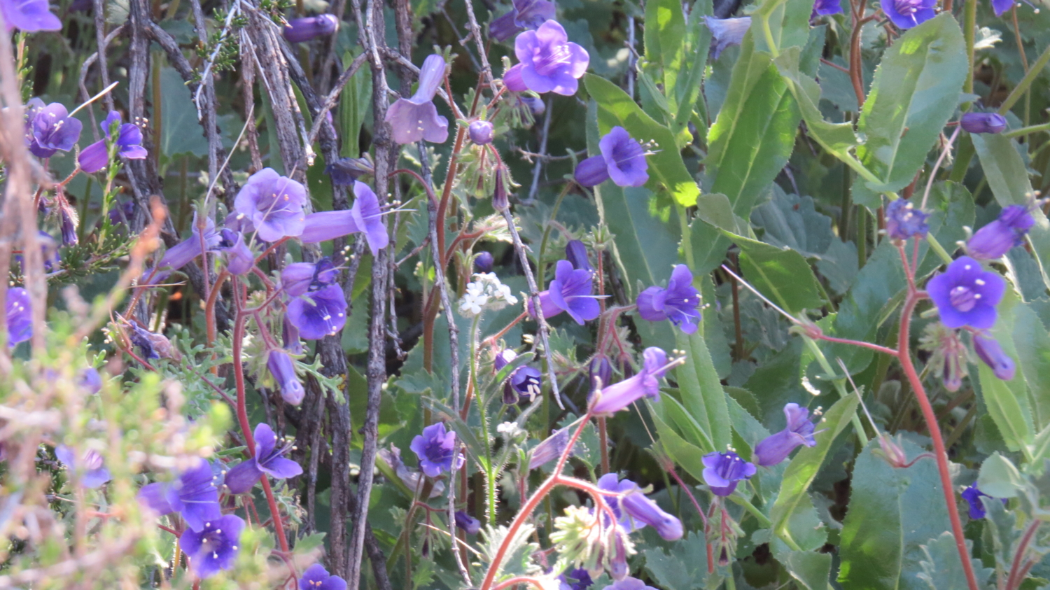
Spring wildflowers on the PCT
As this is the Pacific Crest Trail, you can expect a possible seasonal barrier to a pleasant backpacking excursion during April and May when thousands of thru-hikers make their way out of Warner Springs on their way toward Canada. You may still be able to find spots at this time, but don’t expect to find solitude. At any time outside that period, you can expect to have a reasonable degree of solitude with perhaps a modest amount of traffic in and out of the canyon.

Agua Caliente Creek
One other thing to bear in mind is that the creek can dry up during the drought months of summer. Hiking in the North Inland region of the county can be painfully hot as well, so this may not be a great option for summer backpacking.

PCT through the Warner Ranch easement
After parking on the wide dirt shoulder of Highway 79 just east of Warner Springs, cross the highway and pass through an opening in a fence to find the PCT. Keep in mind that the first 1.5 miles of the trail pass through Warner Ranch property. The PCT keeps to an easement through private lands, upon which you cannot legally camp.

First crossing of Agua Caliente Creek
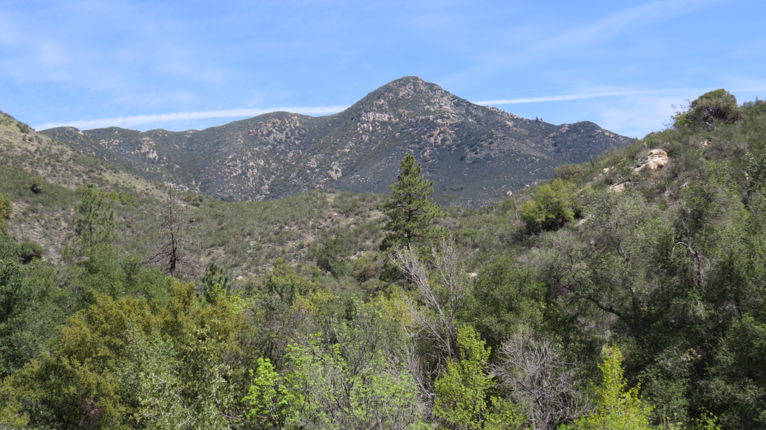
The initial stretch of the trail passes through a gorgeous landscape of grasslands dotted with impressive old oaks. Springtime displays of gold fields carpet otherwise bare patches of ground in a carpet of golden flowers. The menacing forms of buckhorn cholla indicate proximity to the desert, while a corridor of towering cottonwoods mark the course of Agua Caliente Creek. The rugged form of Hot Springs Mountain – San Diego County’s highest point – looms in the distance.

Ceanothus blooming on the chaparral section
At 1.2 miles, you’ll cross the creek and then begin a moderate climb into chaparral as the PCT avoids a narrow and rocky section of canyon. This meandering stretch is a bit tedious, especially if it’s hot out. During spring, displays of white and blue ceanothus, manzanita blooms, canterbury blue bells, varieties of phacelia, and a host of other wildflowers brighten what can otherwise be a somewhat drab carpet of shrubs. One particular chaparral species stands out among the omnipresent chamise; the graceful forms of ribbonwoods, with their red, peeling bark and pleasantly fragrant foliage, dominate the vegetation in some sections.

Back along the creek
At 3.2 miles, the trail drops back down into the deepening canyon to parallel the creek. At this point, the sound of running water – so rare in San Diego – combined with the cool shade of a variety of water-loving trees relieves you from the exposure of the chaparral. The trail keeps relatively close to the water, crossing the creek occasionally, and straying above the bank of the creek at a few points to avoid difficult terrain.

Canterbury blue bells
You’ll reach an open, sandy area shaded by oaks at 3.6 miles. Several flat, well-used campsites present a perfect opportunity for camping. Creek access is easy and shade is abundant. If you are a seasoned backpacker, this may be a pretty easy day, but if you’re looking to introduce a novice, or if you are a novice looking to get started, this is about as ideal a spot as you can find anywhere in San Diego County.

Looking back toward Hot Springs Mountain across Agua Caliente Creek
The PCT continues beyond this spot along the creek for another .6 mile. It crosses the creek a few more times before climbing out of the canyon for a warm, exposed ascent. This is a good place to turn back.
Tags: Agua Caliente Creek, Backpacking, Pacific Crest Trail, PCT, Warner Ranch, Warner Springs