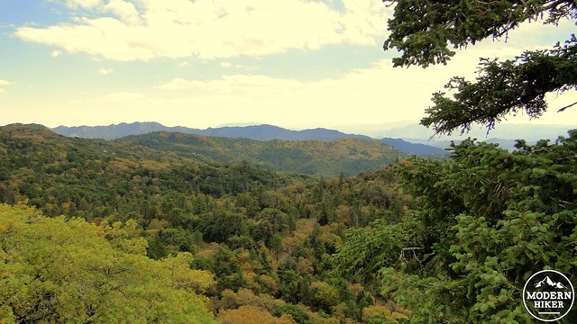
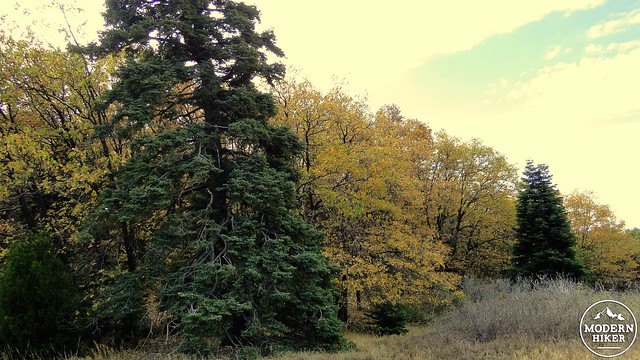
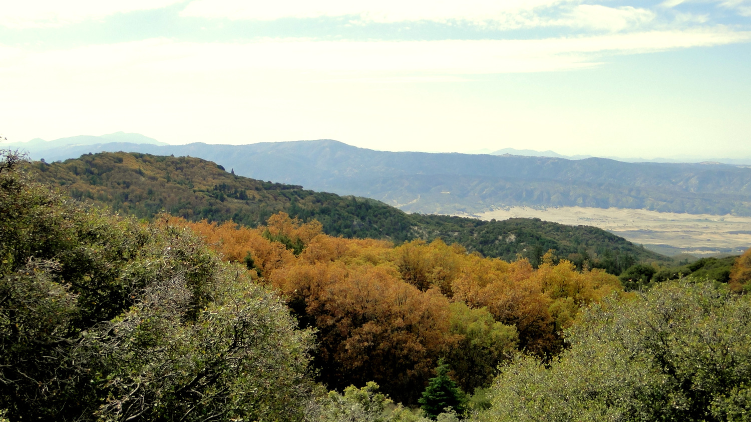
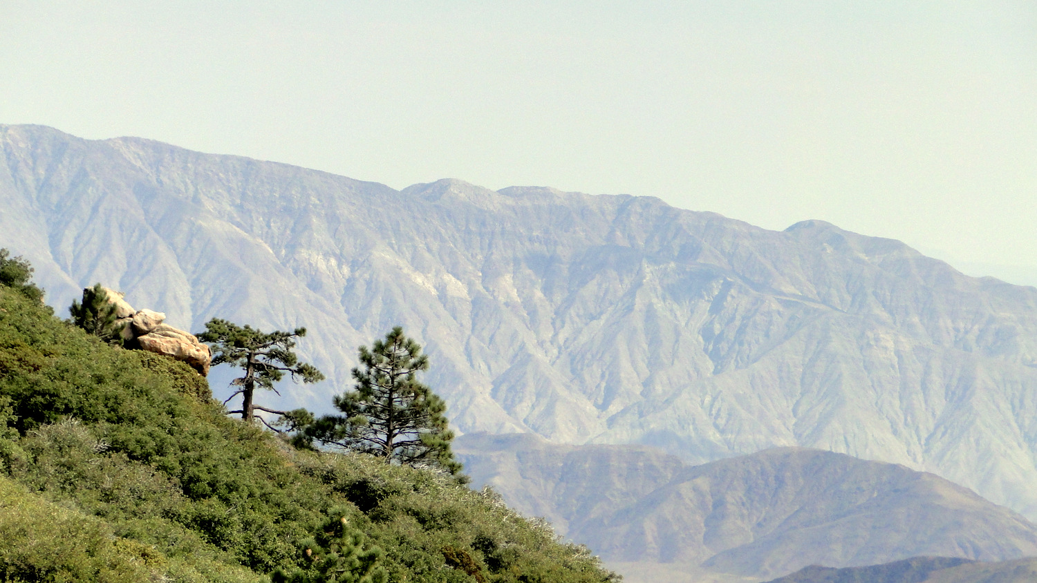
In a wild and lonely corner of the Los Coyotes Reservation you will find the highest point in San Diego County. Hot Springs Mountain, which stands about 20′ higher than Cuyamaca Peak, boasts the stunning views you would expect from a 6,533′ mountain smack dab in the center of the Peninsular Ranges. Beyond those views, the mountain’s elevation supports a dense forest full of a variety of conifers interspersed with deciduous black oaks, whose leaves turn a brilliant gold during late October and early November.
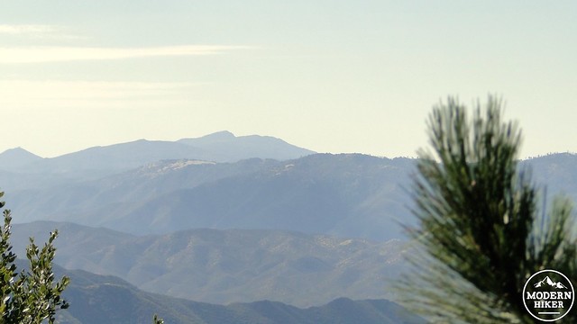
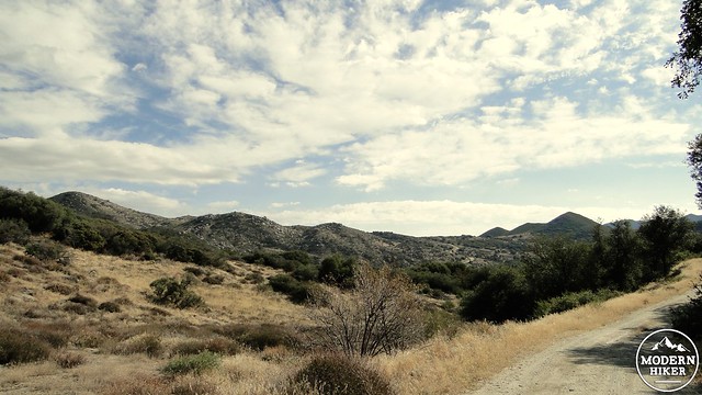
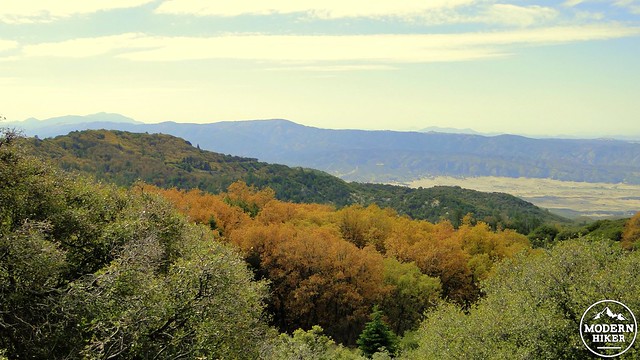
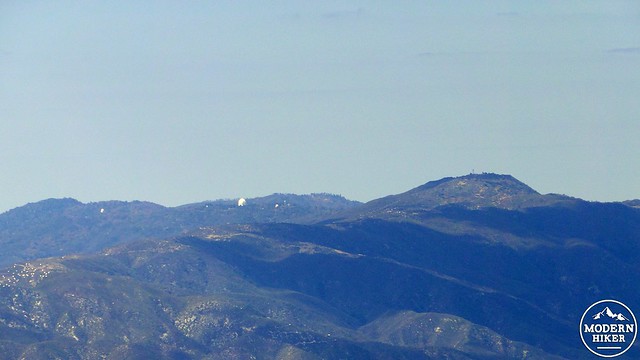
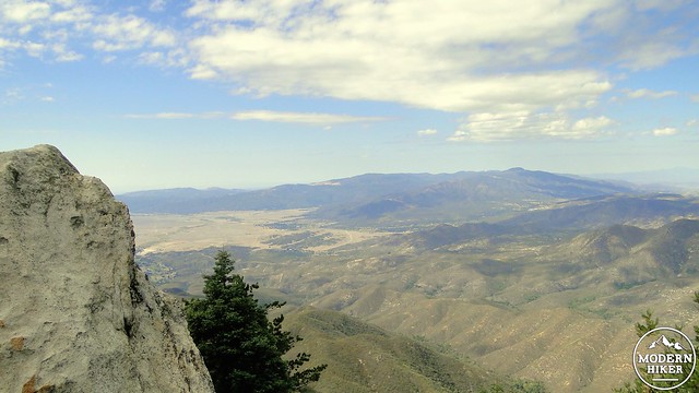
Cuyamaca Peak in the distance, Volcan Mountain in the middle, and the San Felipe Hills in the front
Hot Springs Mountain sits on Los Coyotes (a band of the Cahuilla Indians) Reservation Land, and visitation is subject to approval from the tribe. The tribe welcomes hikers, provided they pay $10 day use fee, per person – not per car (at time of writing). You can pay the fee directly to the tribal ranger at the entrance station, or if you arriving after hours, you can deposit your fee through a night-drop slot. Los Coyotes also features a campground, which is also the starting point for the hike.
Given that this is tribal land, which means it’s the home of the indigenous people who have inhabited this part of the county for centuries, it is essential that hikers, campers, and mountain bikers, behave as if they are guests in another person’s home. This includes adhering to Leave No Trace principles while also giving the people living on the reservation the respect and privacy that they deserve.
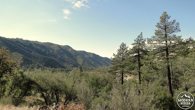
To begin, find the beginning of Sukat Road where it heads north from the campground. Cross the chain gate, and begin climbing. The initial 2.2 mile stretch of the trail is easily the most difficult, and it includes a gain of about 1,500′. This quad-busting challenge may leave you gasping for breath, but you can enjoy frequent breaks while soaking in the ever-improving views east toward the San Ysidro Mountains, Volcan Mountains, and Cuyamaca Mountains.
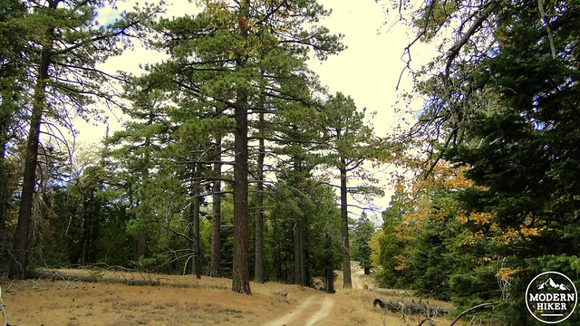
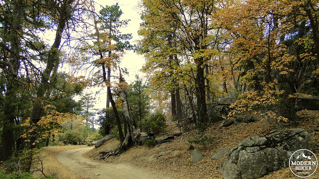
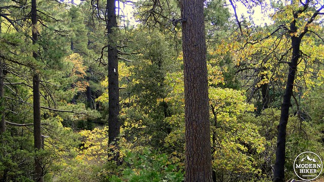
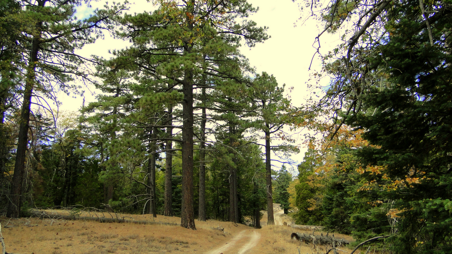
After doggedly mastering the initial climb, you will reap your rewards as you pass into the blissful shade of Hot Springs Mountain’s mixed-conifer forest. The forest here features just about all of the typical Southern California conifers, including Coulter, Jeffrey, and sugar pines, white fir, and incense cedar. Canyon live oak and black oak are interspersed throughout, and the abundant black oaks put on a beautiful fall color show with their golden leaves rustling in the slightest breeze.
The trail will pass through this often dense forest while undulating gently over a series of ridges. The fire road you are walking on is very easy to follow, but the occasional unsigned road meeting the trail can cause some confusion. There is only one junction in which Sukat Road merges into Hot Springs Mountain Road (now marked with new signage). There are a handful of other abandoned roads branching off left or right, but so long as you ignore them and remain on the clearest, most obvious road heading northwest, you won’t go astray.
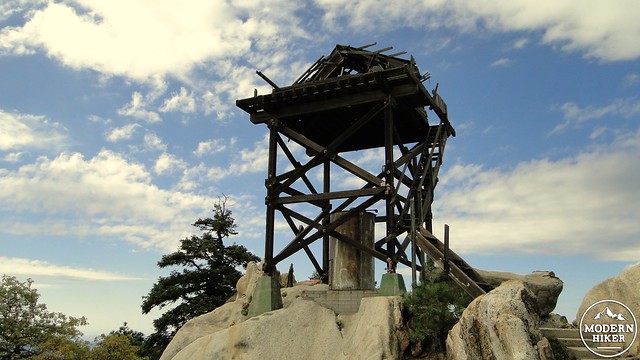
After merging onto Hot Springs Mountain Road, continue through the forest until a single pronounced switchback announces the approach to the summit. Prior to this switchback, the road occasionally leaves the cover of the trees, providing glimpses of the astonishing view that awaits at the summit. At 4.8 miles, you reach the switchback, and the dangerously unstable old fire lookout comes into view. With just a touch more effort, you will soon be standing near the summit.
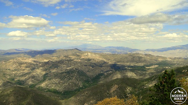
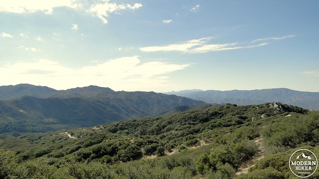
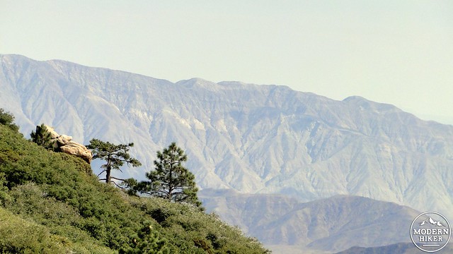
Looking northeast. Mt. San Jacinto is dead center in the frame with Bucksnort Mountain and Agua Caliente Canyon in the foreground
The old lookout on the summit was once used by the Department of Forestry to spot and report wild fires. It’s been here for a long time, and it’s dilapidated condition shows it. Avoid climbing the tower, as it is dangerously unstable. A comfortable lunch rock sits directly below, and from here you can enjoy a spectacular view north across the yawning depths of Agua Caliente Canyon. Beyond lie the scrubby slopes of Bucksnort Mountain and the arid Anza Valley stretching out to the highlands of the San Jacinto Mountains. Looking east, you will spy the arid upper ridge of the Santa Rosa Mountains and a shimmering patch of the Salton Sea. The rolling highlands of the Cuyamaca Mountains and the cresting wave of the Laguna Escarpment loom to the south.
As lovely as the lookout tower views are, this is not the actual summit. To reach that summit. Head northeast from the lookout across a wide stretch of dirt road to an unmarked informal trail. Follow this trail as it weaves through a claustrophobic forest of oak, manzanita, and pine, and in about 0.25 mile, you will arrive at the base of the summit block. A short class-3 scramble aided by rope can bring you to the top, which is a flat concrete platform that also makes a comfortable lunch spot. The views here aren’t quite as good as the lookout, but you do get to brag about standing head and shoulders above the rest of San Diego.
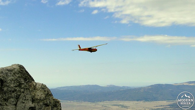
Another quirk on this hike comes from the popularity of gliding in the Warner Springs area. The only man-made sounds you are likely to hear on this hike come from single prop planes towing sleek gliders out of the airstrip just outside Warner Springs. Once released, these gliders soar over Hot Springs Mountain and Agua Caliente Canyon using thermals to gain height and maintain elevation. The gliders come pretty close to the tower, so don’t be surprised to see their pilots waving to you in greeting.
Tags: Black oaks, fall color, Hot Springs Mountain, Los Coyotes Indian Reservation


