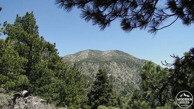
Towering high above the Inland Empire stands San Bernardino Peak, a conspicuous bump on the long ridge leading up to Mt. San Gorgonio’s summit, and the first of the nine peaks in the “Nine Peaks Challenge.” Despite the more significant prominence of its more “saintly” neighbors, Mt. San Antonio (Baldy), Mt. San Jacinto, and Mt. San Gorgonio, San Bernardino Peak, along with the spectacular campground at Limber Pine bench, is itself an immensely satisfying hike and peak-bagging experience.
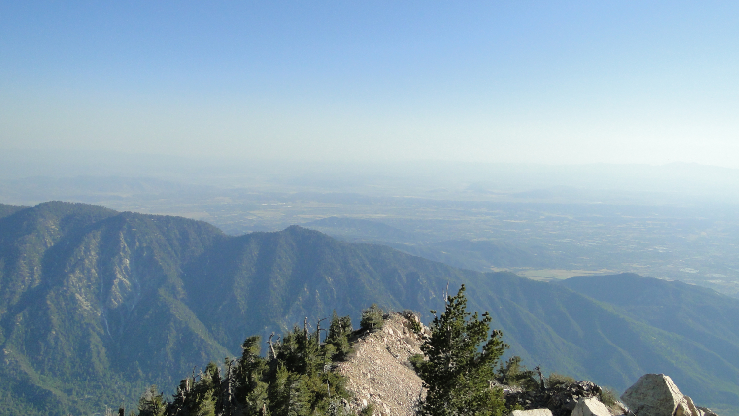
Of particular interest to backpackers, the San Bernardino Peak trail stops at Limber Pine Bench, which is one of the most spectacular backcountry campsite in Los Angeles. Limber Pine has a nearby spring, which allows easy access to water. Beyond the easy availability of water, Limber Pine Bench enjoy spectacular views, which encompass the Inland Empire and feature great views of the Mt. Baldy mountain complex, as well as southerly views to the Santa Ana Mountains.
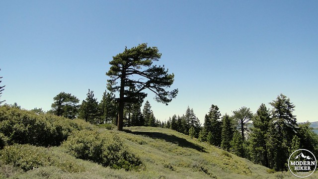
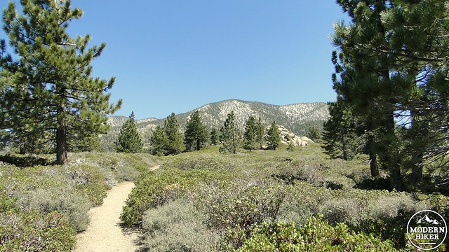
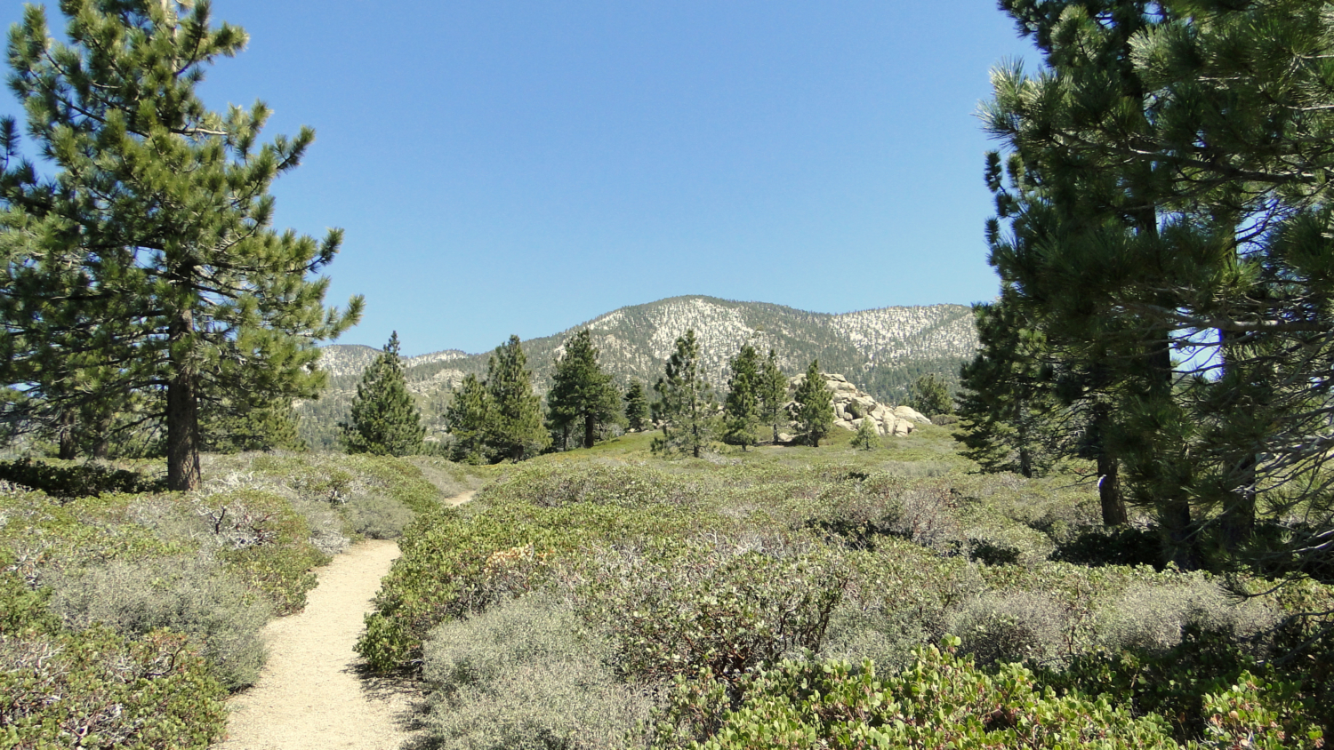
In addition to being a great backcountry camping trip, the route itself is full of beautiful scenes and views. The initial climb out of Angelus Oaks travels through a forest of mixed-conifers and black oaks, the latter of which turn gold during the fall. After climbing out of this initial ascent, the trail reaches Manzanita Flat, which delivers exactly what its name implies: a flat stretch of trail carpeted with manzanita and studded with picturesque Jeffrey pines. As the trail climbs, you will enjoy witnessing the transition from a variety of forest types from lower montane mixed-conifer and oak forest to subalpine lodgepole and limber pine.
Red Tape: Backpacking San Bernardino Peak
The permit process for overnight camping is relatively simple, and there are a couple of ways to go about it. The simplest, but less guaranteed way is to go for a walk-up permit at the Mill Creek Ranger Station in Mentone. This station is located on the road to the trailhead, so if you’re looking to take this as an impromptu hike, you can simply walk in and request your permit from one of the rangers. You’ll fill out the usual details on a carbon-copy form, and then you will be on your way. For weekday hikes, a permit is likely to be a given. However, it will make sense to come early if you’re looking to hike on a Saturday or Sunday.
To get permits for a hike on Monday, Tuesday, or Wednesday, or to reserve your permits ahead of time to assure availability on the weekends, you can download a permit request form here and then fax it into the ranger station. San Bernardino National Forest requests that you send the permit form within 90 days of your hike, and they will deny the permit if you send it outside that window. Although the National Forest governs the entire area, The San Gorgonio Wilderness Association handles the permits. You can download .pdf’s of the permit, which you can either fax or mail. If you submit a request early, you are very likely to get either a day hike permit or an overnight permit for San Bernardino Peak.
The trail wastes no time in climbing from the parking area as it ascends via efficient switchbacks through mixed-conifer and oak forest As you climb, views west to the eastern ramparts of the San Gabriels soon emerge, and they will stay with you for the duration of the hike. Meanwhile, views of Santa Ana Canyon, including the wall of mountains south of Big Bear and Rim of the World Highway open up to your north.
The trail soon gains the shoulder of the first major slope and then passes through a denser section of forest. After some more climbing, the rounds a bend through a thick growth of manzanita, buckthorn, and chinquapin with a few memorable Jeffrey pines before one last spurt of climbing deposits you at Manzanita Flat. This relatively flat space is dominated by manzanita, with scattered pine trees for punctuation. The San Bernardino Peak massif is in front of you, although the summit isn’t immediately visible from this vantage point.
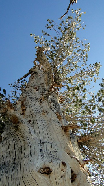
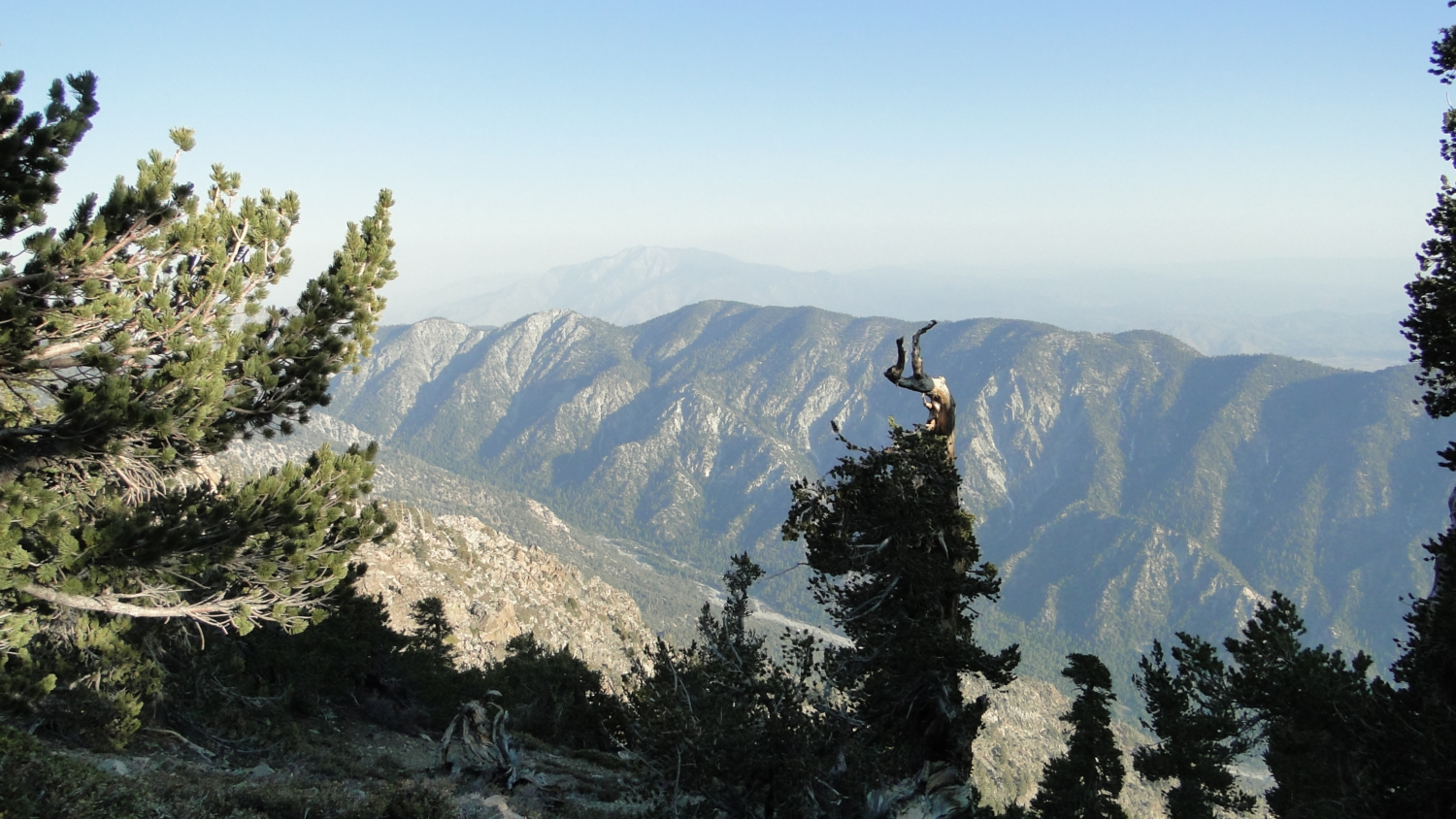
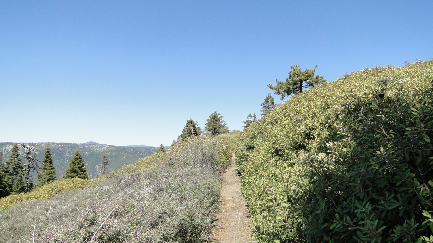
You will soon come to a junction with trails heading off toward Columbine Spring and Johns Meadow; this is a nice spot to take a quick break. Ignore the trails branching right and left as your trail lies before you. Resume climbing through forest transitioning into higher elevation lodgepole and limber pines. The lodgepole pines, whose scientific name is Pinus contorta, bend into all kinds of fantastic shapes. Limber pines get their name from the extreme flexibility of their branches. Some of the smaller branches are so flexible that you can tie them in a knot.
Continue winding upward through this sparse forest as it nears Limber Pine Bench.A well-marked path diverges to the right, even though it is not clearly signed. This is the trail to the campgrounds at Limber Pine Bench. There is a sign, but its about 100 feet past the actual path. This is one of the drawbacks of the San Gorgonio Wilderness; trails and campgrounds aren’t always signed as clearly as one would like. As you follow the path down a gentle slope, you will see numerous limber pines contorted into fantastic shapes. Scattered among them are a handful of campsites. The campsites furthest to the edge of the bench offer the best views, but they are usually the ones that get snatched first.
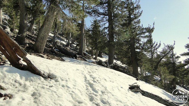
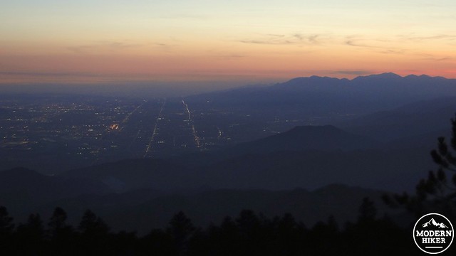
You may choose to camp here and enjoy some of the finest views of any backcountry site in Los Angeles. Below you is the entirety of the Inland Empire, and now the ramparts of the San Gabriels take on an entirely new and unique perspective from what you’ll find in most L.A. area hikes. A half mile up the trail from here lies the spring. Limber Pine Spring lies in a small ravine that receives minimal sun exposure, which means that accumulated snow lingers here longer than it would elsewhere. If you’re here earlier in the season, be careful as there may be icy snow present that was not present on most other sections of the hike, even at higher elevations. Another thing to know is that the spring does not run all year long, especially during drought periods.
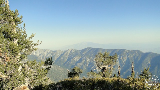
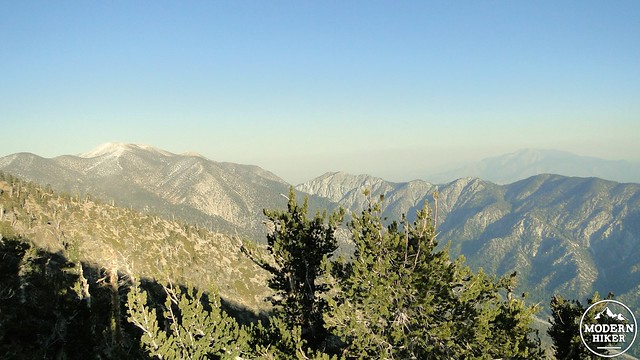
From the spring, the trail switchbacks through ever more rarified air while attaining great views south toward San Diego’s Palomar Mountains and Orange County’s Santa Ana Mountains. After this open, sunny section, you will come to a ridge, along which you will find Washington’s Monument. This monument is not for the first President but rather for the surveyor who used this perch to survey vast sections of the inland region. While you are still at least half an hour from the peak, you will find that this vantage point has the superior views due to a lack of obstruction from trees and 270 degree views from east to west.
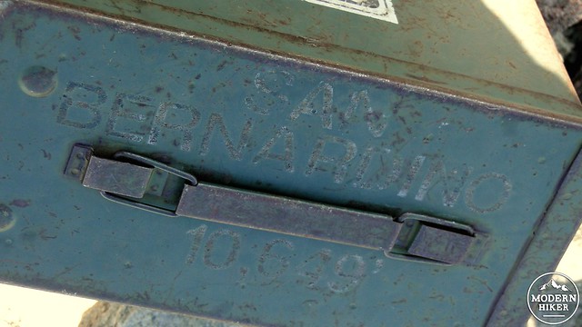
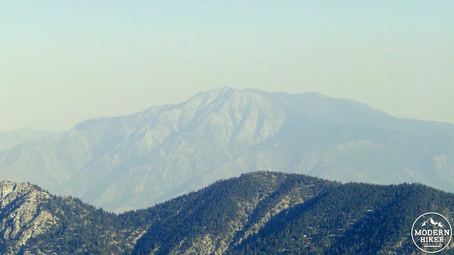
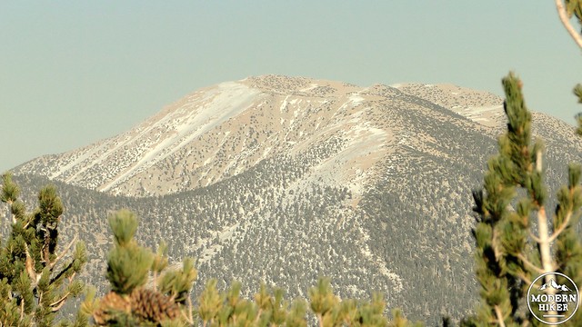
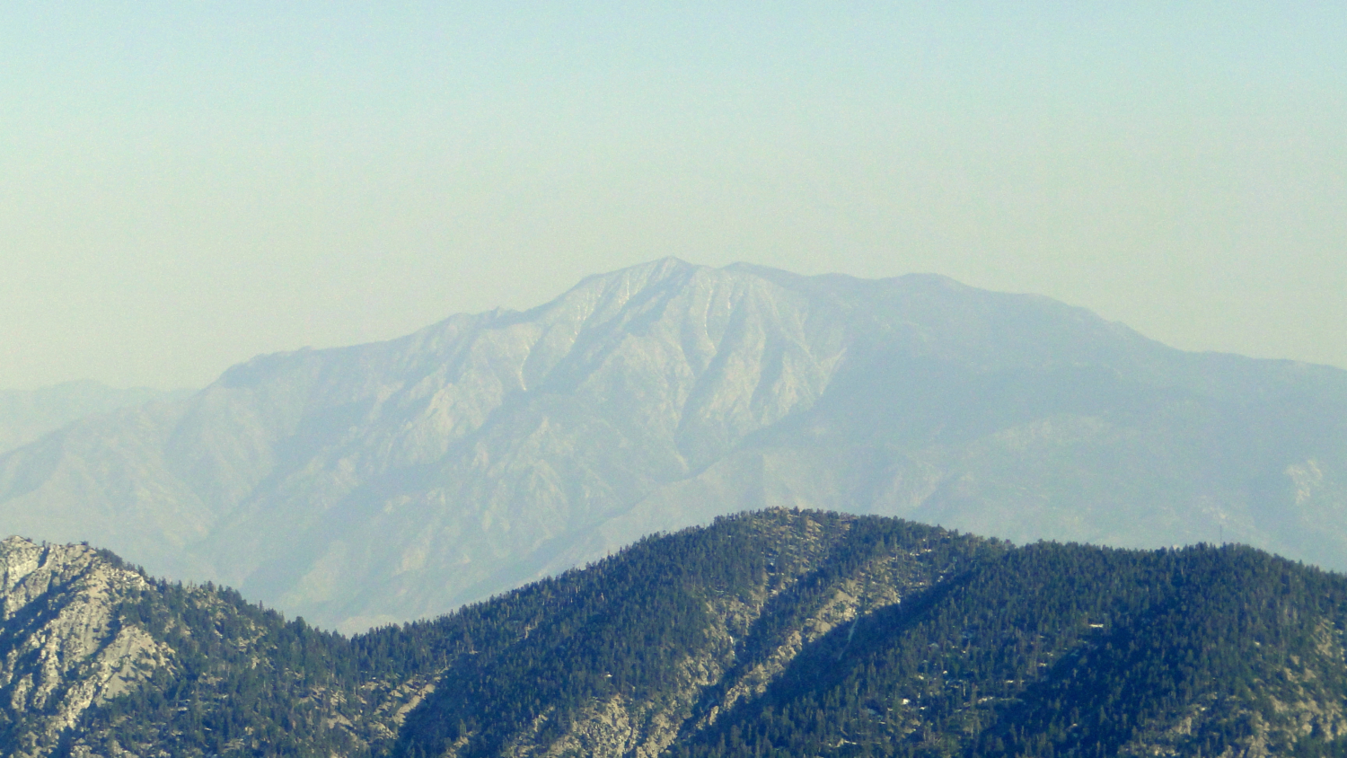
Keep following this ridge as it undulates a bit and then resumes climbing. The trail will start to veer around a rise in front of you as it transitions over to the north face of the peak. Keep your eyes peeled for the ducks indicating a faint use trail toward the summit. I had a hard time finding the use trail, and so I veered off a bit before finding it again. The use trail climbs briefly, and before you know it, you will be faced with a pile of rocks, an ammo can indicating the peak, and somewhat obstructed views toward the massive hump of San Gorgonio Peak. San Jacinto will loom off in the distance, while Valley of the Falls and Yucaipa Ridge stand silently far below you. As I said earlier, the views are a bit obstructed here, and you may wish to return to Washington’s Monument for a fuller expression of the views.
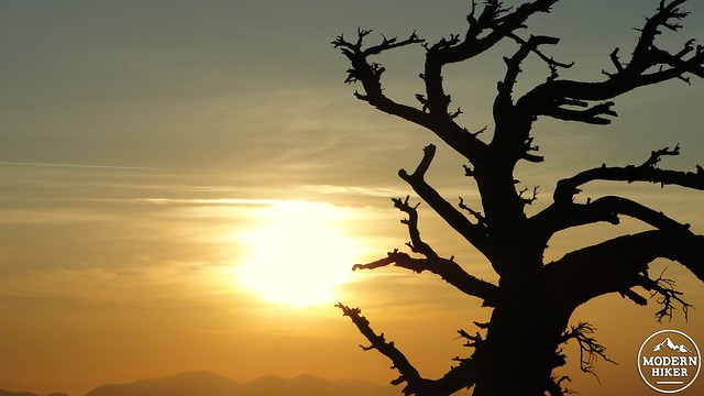
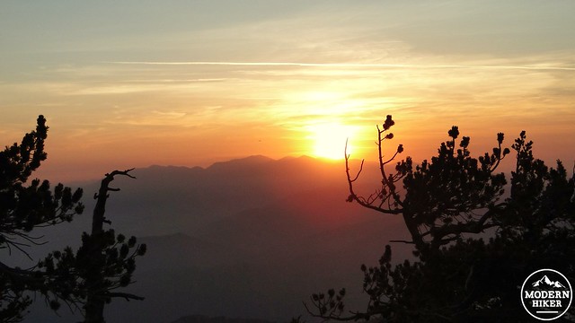
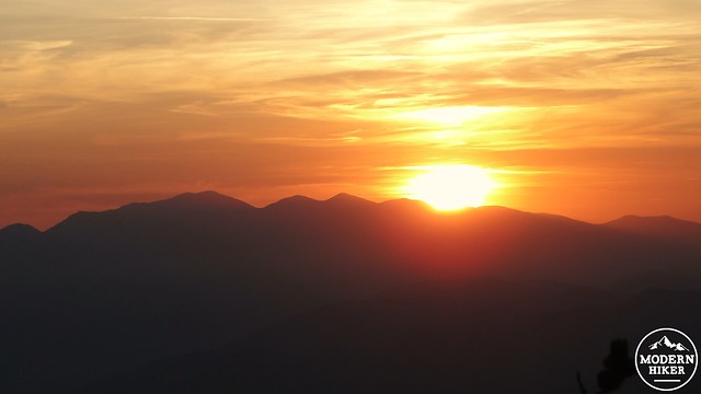
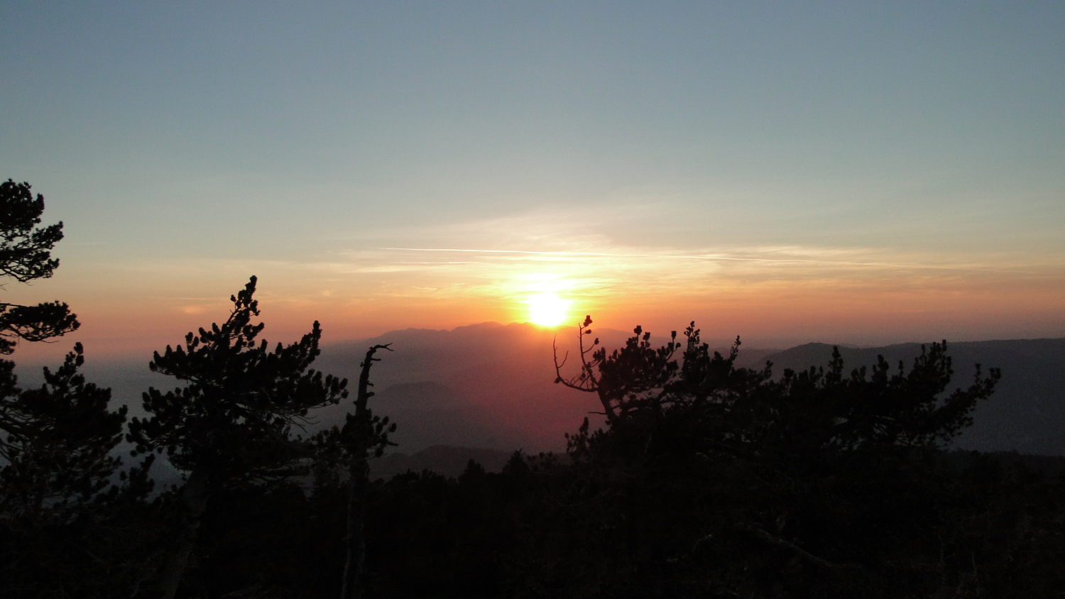
After enjoying the feeling of the air at 10,600’, return down the summit slope and back onto the ridge trail. You will continue to retrace your steps from this point, perhaps stopping at Limber Pine for a rest if you are day-hiking or to make dinner and catch some sleep if you are backpacking. If you are backpacking, do whatever you can to watch the sunset here. You’ll watch the sun sinking over Mt. Baldy while all of the lights in the Inland Empire start to twinkle beneath the fading orange glow.
Tags: Angelus Oaks, Backpacking, limber pine bench, Limber Pine Spring, Manzanita Flat, peak bagging, san bernardino mountains, San Bernardino National Forest, San Bernardino Peak, San Gorgonio Wilderness


