As many of you have either heard about or experienced, Southern California’s 2024 winter has been wet. With multiple atmospheric rivers battering the West Coast, many of LA’s waterways have filled up to their banks. The Arroyo Seco is no exception. To experience its power firsthand, my partner and I ventured to Pasadena to hike a family-friendly portion of the Gabrielino trail. The water was flowing ferociously, but luckily the trail, aside from a few mild river crossings, was mostly unaffected. It’s safe to say that you don’t need to drive far or be an experienced hiker to enjoy nature’s might.
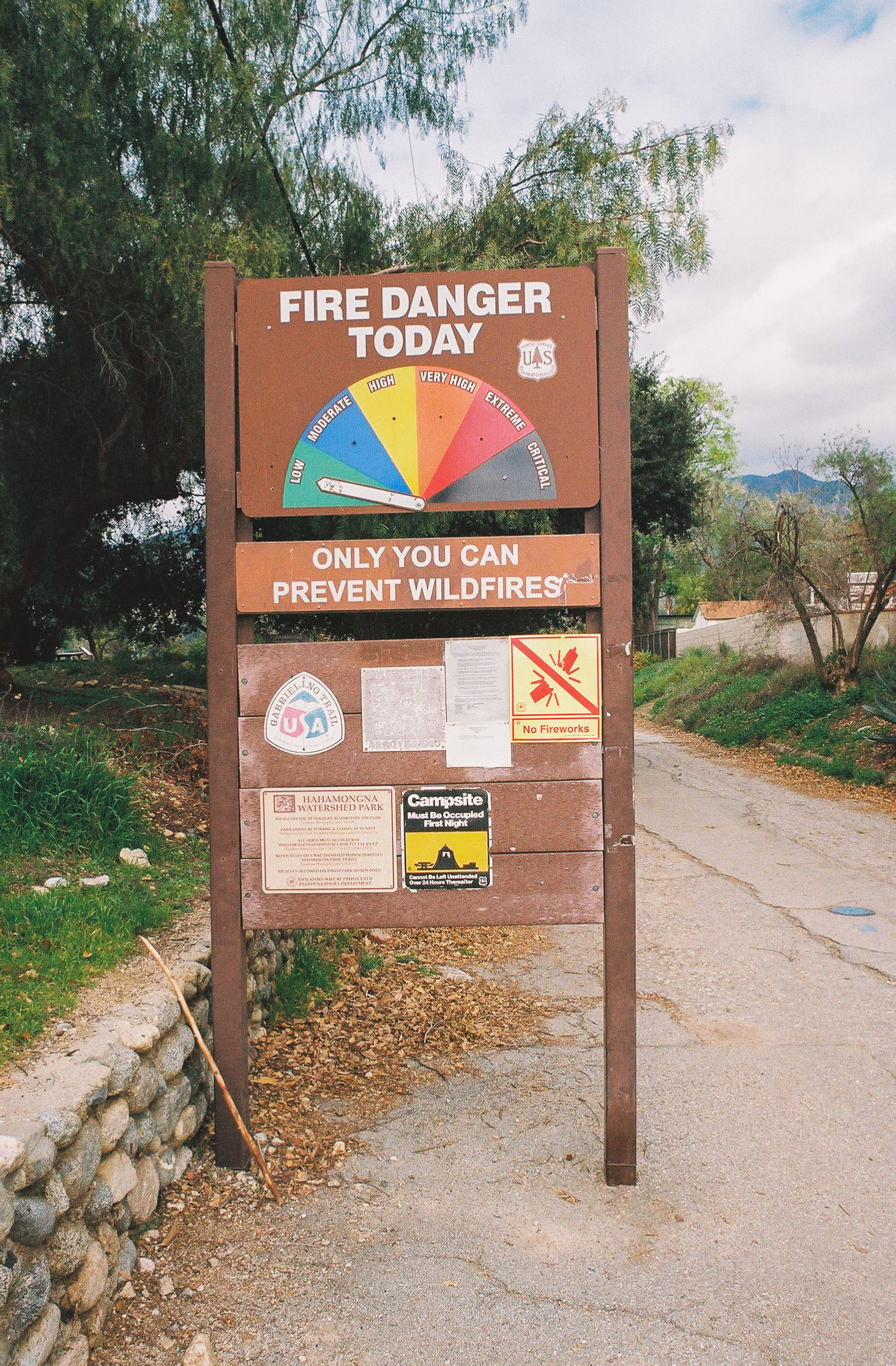
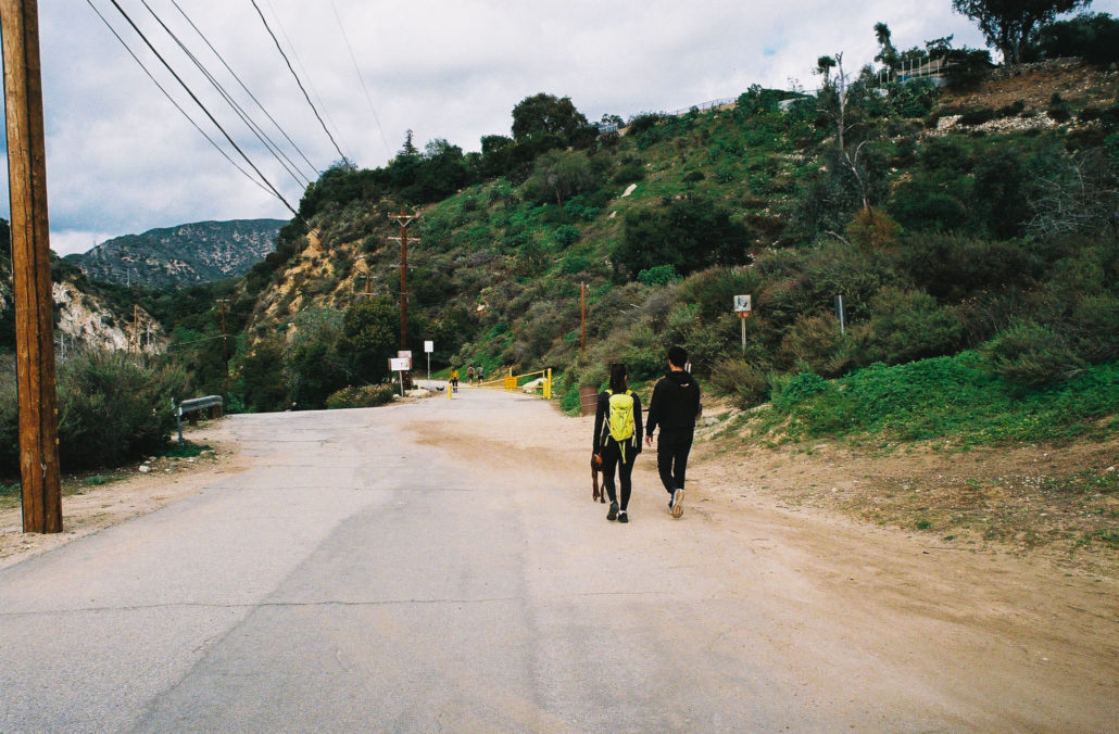
You’ll start your hike at the Gabrielino Trail’s western terminus. There’s a large parking lot by the trailhead that can fit about 40 to 50 cars, plus plenty of street parking nearby. When you’re ready, head north past a large sign that reads “Fire Danger Today” on top to start your hike.

This sign provides valuable information and marks the trailhead. Shot on FujiFilm Superia X-TRA 400 film.
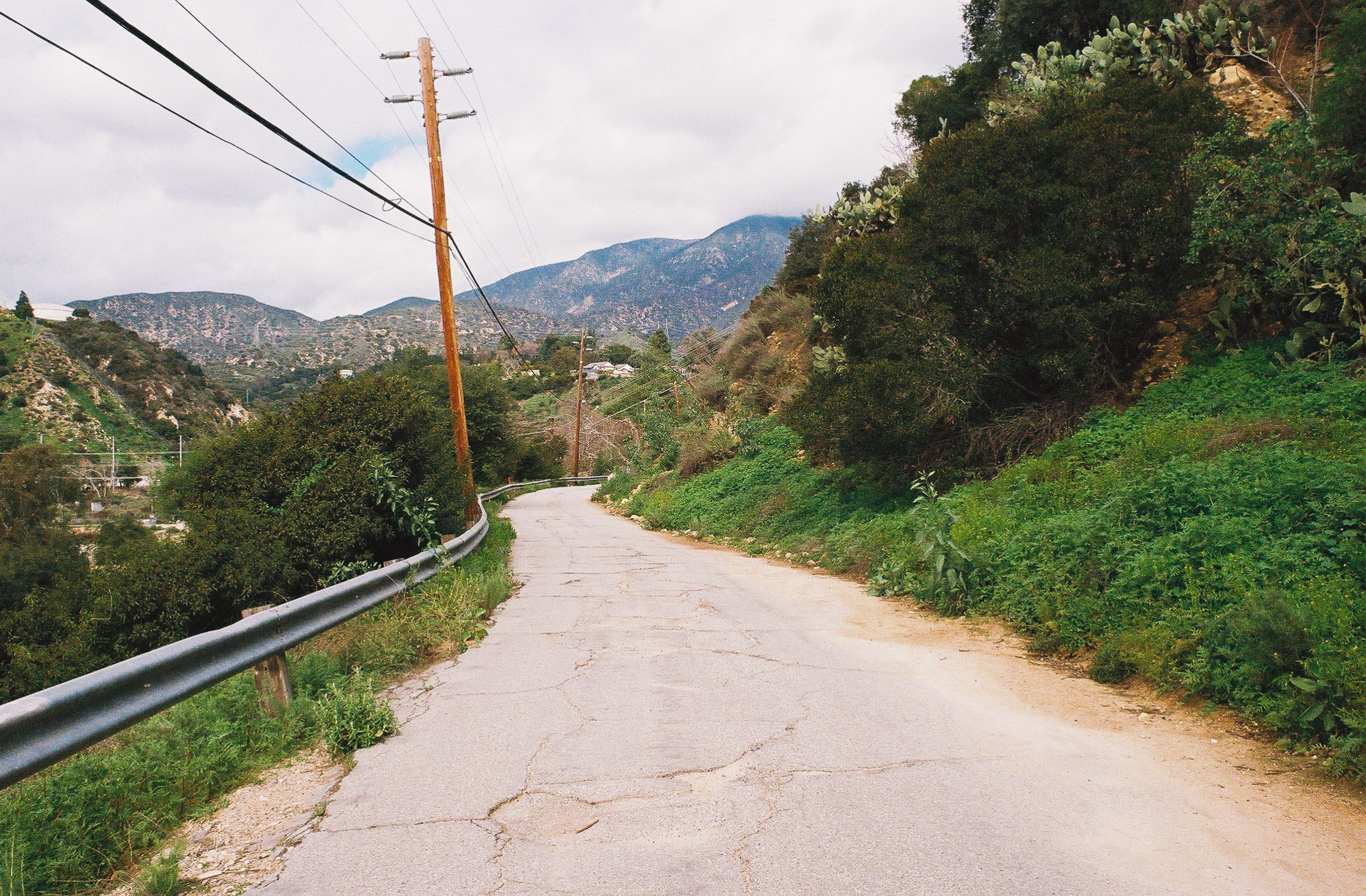
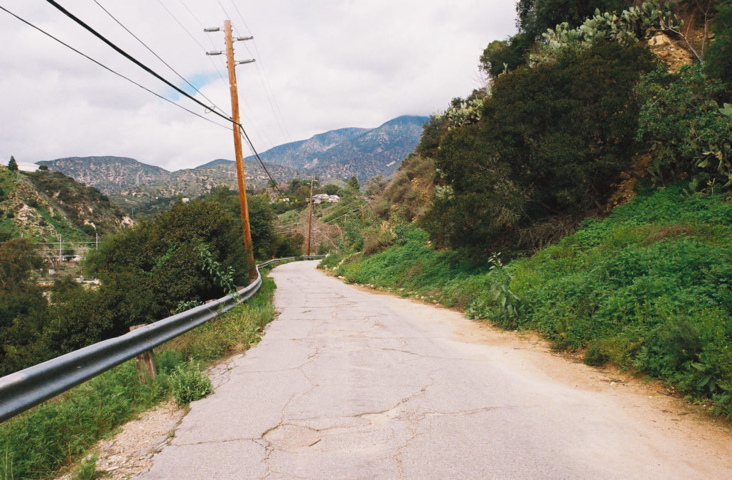
The hike starts on a flat and wide paved road that’s accessible for those with mobility devices. It’s a popular multi-use trail, and you’ll likely encounter lots of other hikers, pets, bikers, and horses. However, despite the crowds, we never felt cramped.
The paved road is closed to vehicles. Shot on FujiFilm Superia X-TRA 400 film.
During this first section, you can see the Hahamongna Watershed Park, NASA’s Jet Propulsion Laboratory, and the San Rafael Hills to your left. In front of you are the San Gabriel Mountains, which you will venture into during your trek.
After hiking for about half a mile, keep right and walk past the yellow gate to stay on trail. About a quarter mile further you’ll cross the Arroyo Seco via two bridges.
Head straight past the yellow gate. Shot on FujiFilm Superia X-TRA 400 film.
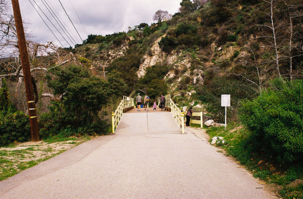
The first of many bridges you’ll cross. Shot on FujiFilm Superia X-TRA 400 film.
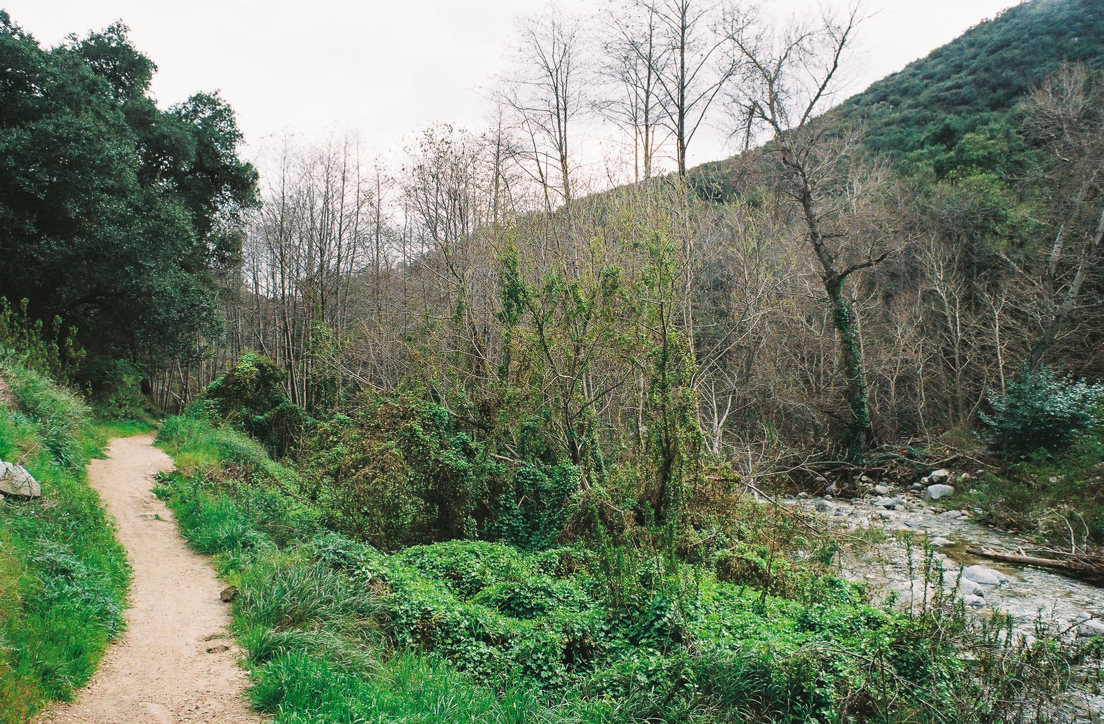
Now walking next to the river, which for us was especially swollen due to recent rainstorms, the landscape around you becomes more verdant. Many mature trees, including Coast Live Oak, line the trail and provide plenty of shade, which I’m sure is especially welcome during the summer. You’ll also now find that there are many opportunities to walk down to the riverbank – we saw lots of families with young children splash around and play by the water.
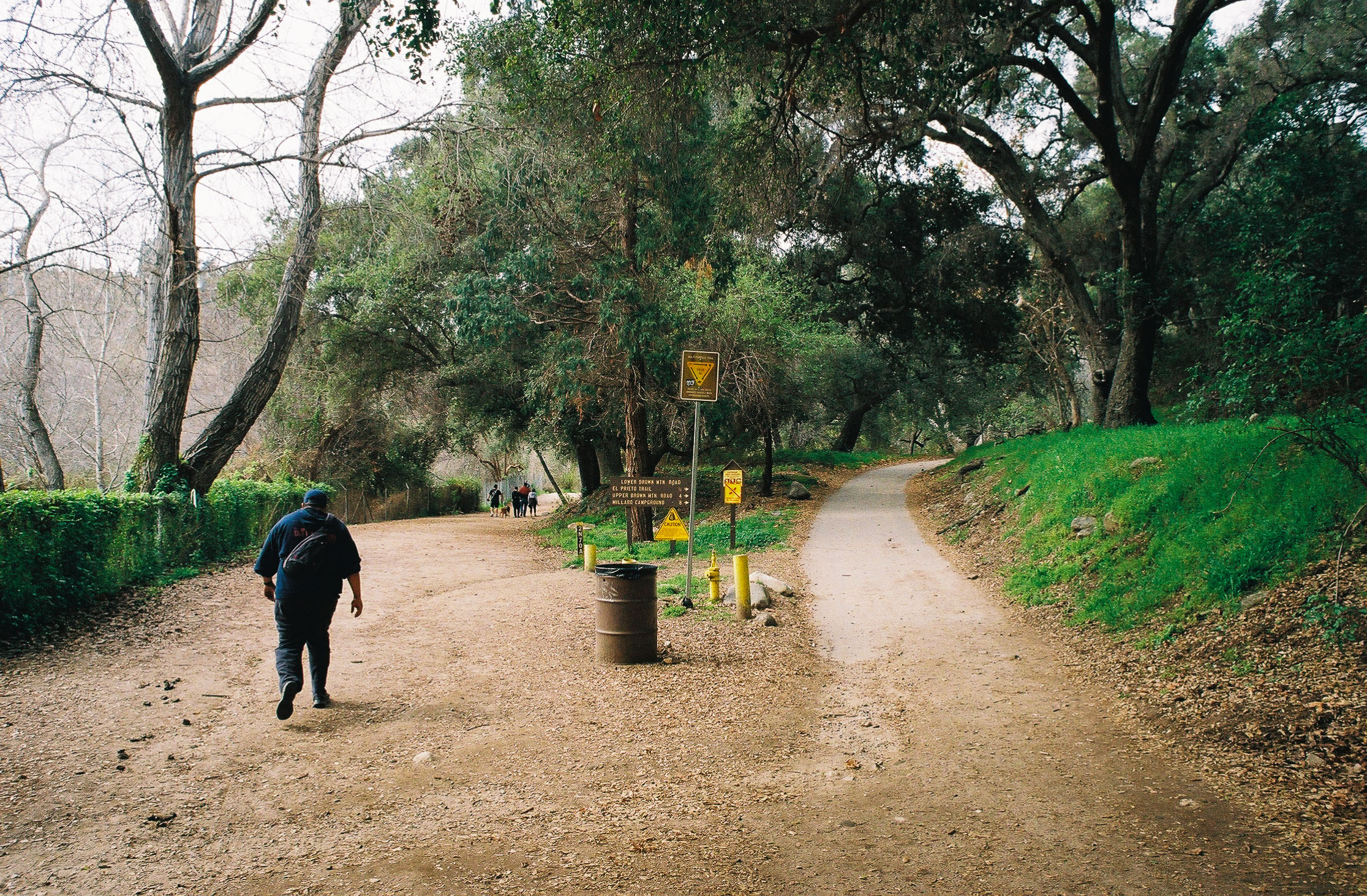
At mile 0.9 you’ll cross another bridge. Then, at mile 1.15 you’ll reach a junction, as well as the end of the accessible section of this trail. Continue left along the dirt path.

Keep left at the trail junction. Shot on FujiFilm Superia X-TRA 400 film.
You’ll notice that because of the popularity of this hike, trash cans are positioned throughout the trail. I’m glad to note that they seem to be getting put to good use. We were impressed by how clean the trail was, especially given the many people we passed throughout the day.
At mile 1.2 you’ll see several US Forest Service buildings to your right, along with a water fountain. Then a tenth of a mile further, continue straight, keeping the riverbed to your left to follow the trail.
Now well into your hike, your surroundings become much more rugged and wild than at the trailhead. With steep canyon walls on either side of you, a much lusher environment, and few signs of human development, it finally felt like we were in nature.
At mile 1.5 you’ll reach (you guessed it) two more bridge crossings. It was around here where we noticed that, while there still were a decent amount of people, the large crowds started thinning out.
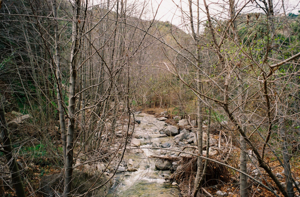
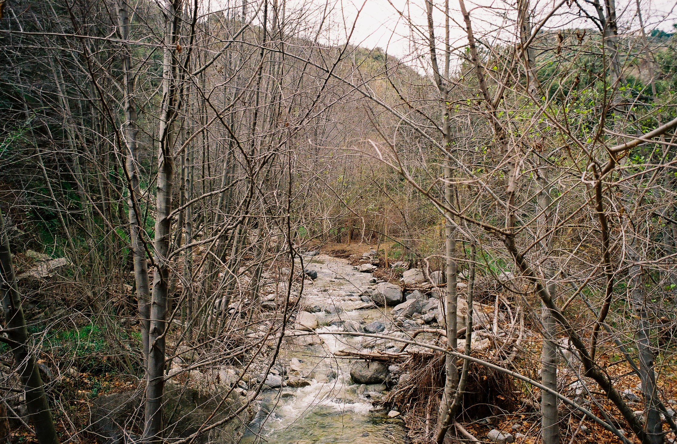
The Arroyo Seco, normally just a trickle, was in full force. Shot on FujiFilm Superia X-TRA 400 film.
You’ll reach an Angeles National Forest boundary sign at mile 1.8, flowed by a bridge (number six for those counting). Now within federal land, the trail felt even more wooded and wild.
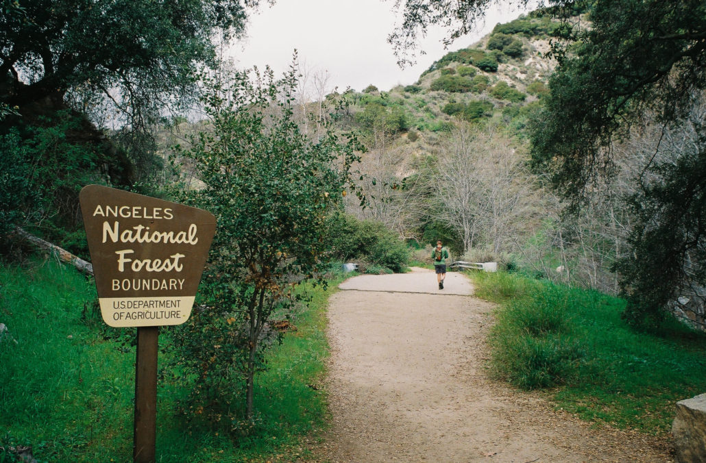
Angeles National Forest Boundary. Shot on FujiFilm Superia X-TRA 400 film.
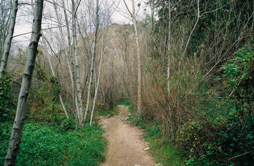
The trail is much different compared to the start. Shot on FujiFilm Superia X-TRA 400 film.
Mile two greets you with your first of potentially three river crossings. The Arroyo Seco is a seasonal river, so while conditions will vastly change depending on when you go, for us the current spanned about 10-15 feet wide and was at most a foot deep. There weren’t many stepping stones for us to use, so we opted to simply get our shoes wet and walk across.
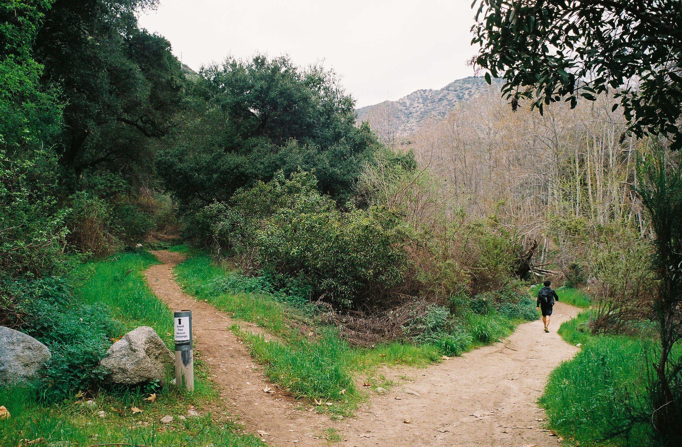
Continue for 0.2 miles to reach a trail junction. While the paths quickly rejoin, stay left to avoid two more river crossings. The plant life is also extremely abundant here, complete with moss and vines climbing up the trees, something I’ve rarely seen in Southern California. Finally, at mile 2.4, you’ll reach the Gould Mesa Trail Camp.

While the hiker in front of us braved the river crossings, we stayed left to avoid them. Shot on FujiFilm Superia X-TRA 400 film.

I was surprised at just how rich the plant life was. Shot on FujiFilm Superia X-TRA 400 film.
This hike-in campsite had lots of amenities that normally are reserved for traditional campgrounds. Here, you’ll find five sites with their own picnic tables and fire rings. Also present are bear boxes, trash cans, and vault toilets. The only downside is that depending on the time of year, you’ll have to hike in your water as the Arroyo Seco might not be flowing. Overall though, Gould Mesa Trail Camp is perfect for beginners looking to dip their toes into the world of backpacking.
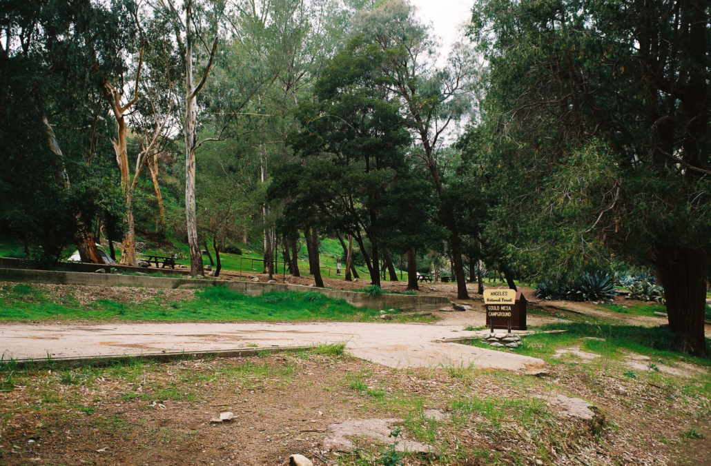
Your first view of Gould Mesa Trail Camp from the Gabrielino Trail. Shot on FujiFilm Superia X-TRA 400 film.
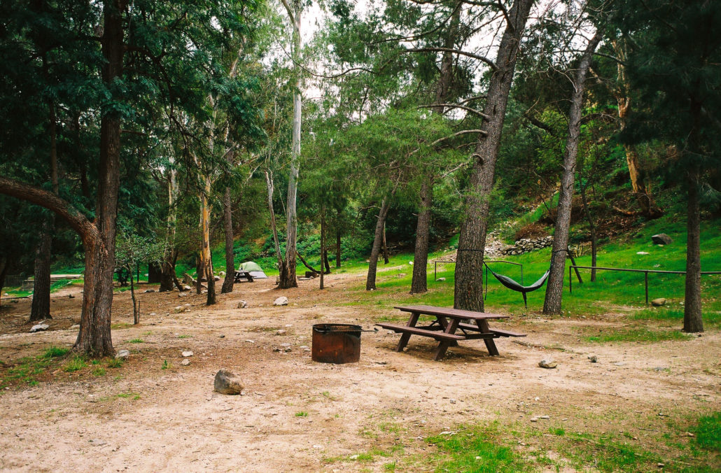
This campground is great for a quick overnight backpacking adventure. Shot on FujiFilm Superia X-TRA 400 film.
From here, you can head left to continue further along the Gabrielino trail. However, this was our turnaround point for us. Head back the way you came to complete this hike.
Tags: Angeles National Forest, arroyo seco, Backpacking, Gabrielino Trail, Hiking, River, water features