Update: A 2018 wildfire burned a significant chunk of terrain on the first half of this route. You can expect recovering vegetation from the trailhead to about 1 to 1.5 miles in. The trail is currently open.
The Clevenger Canyon trail network ascends both the north and south walls of the canyon just east of the agricultural region of San Pasqual Valley. Although the geographic separation between the two portions of the trail is little more than half a mile in some spots, the vegetations schema on either side of the canyon contrast dramatically, offering a nice lesson in slope aspect. This geographic factor refers to the direction in which a slope faces, which directly impacts how much sunlight the slope receives. Since the sun is always to our south, north-facing slopes receive less sunlight, and therefore moisture tends to evaporate more slowly. South-facing slopes receive more sunlight, and therefore moisture evaporates more rapidly.

Vegetation in the respective habitats respond accordingly. You can expect to find more drought-tolerant vegetation on south-facing slopes given that there’s less moisture for plants to work with. You see this clearly on the northern branch of the trail network, which switchbacks along the steep slope through sparse vegetation. North-facing slopes would therefore tend to have denser, thirstier vegetation, given that there’s more moisture available.

Note the darker green chaparral on the right slope contrasted against the reddish-beige on the left slope.
Of course, in semi-arid San Diego, “more moisture” is a very relative term. This area receives about 15” of precipitation annually, and the lushest vegetation you can expect is the occasional riparian strip where water accumulates underground in ravines. Still, the presence of a mix of chaparral and coastal sage-scrub vegetation exudes a rich mixture of scents and sights on the south trail network, especially during the winter and spring when seasonal rains resurrect the dormant chaparral communities.

The south Clevenger trail network features a pair of options that both lead to fine views west across Escondido and east along the Santa Ysabel Creek watershed. Hikers can take them together or separately, depending on your feelings about climbing and giving up elevation before climbing yet again. If that kind of roller coaster is not your bag, you can always take one branch as a single hike. Both branches are worthy, but there’s a touch more variety on the left branch, including a few fun surprises.

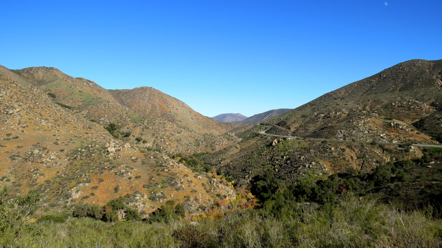
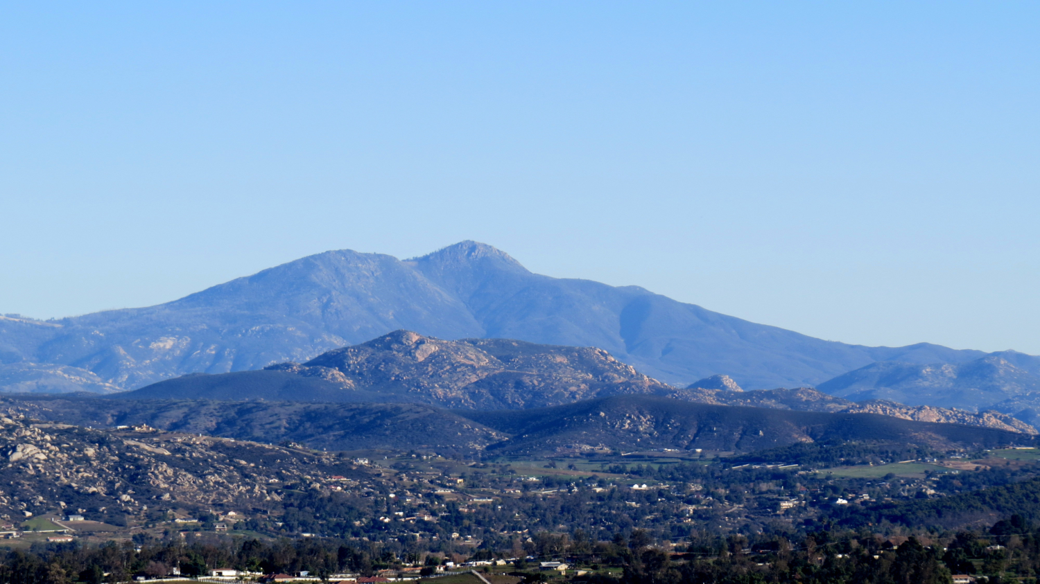
For either branch, start at the staging area on the side of Highway 78. Climb on a moderate tread through chaparral dotted liberally with California sagebrush. At 0.5 mile, you reach a junction with the two branches of the trail. The right branch splits off from the main trail and begins a moderate climb along heading generally westward along the wall of the canyon. After dipping into and out of a ravine, the trail approaches a boulder pile that serves as a viewpoint looking west and east. To the east, the winding asphalt ribbon of Highway 78 threads its way through the folds of Clevenger Canyon. Orosco Ridge, Black Mountain, Mesa Grande, and a sliver of the Volcan Mountains are visible to the east. West, views extend across San Pasqual Valley toward San Marcos. See if you can spot the balloon at the Safari Park lifting and dropping visitors for a pale (and expensive) imitation of the view you just earned.

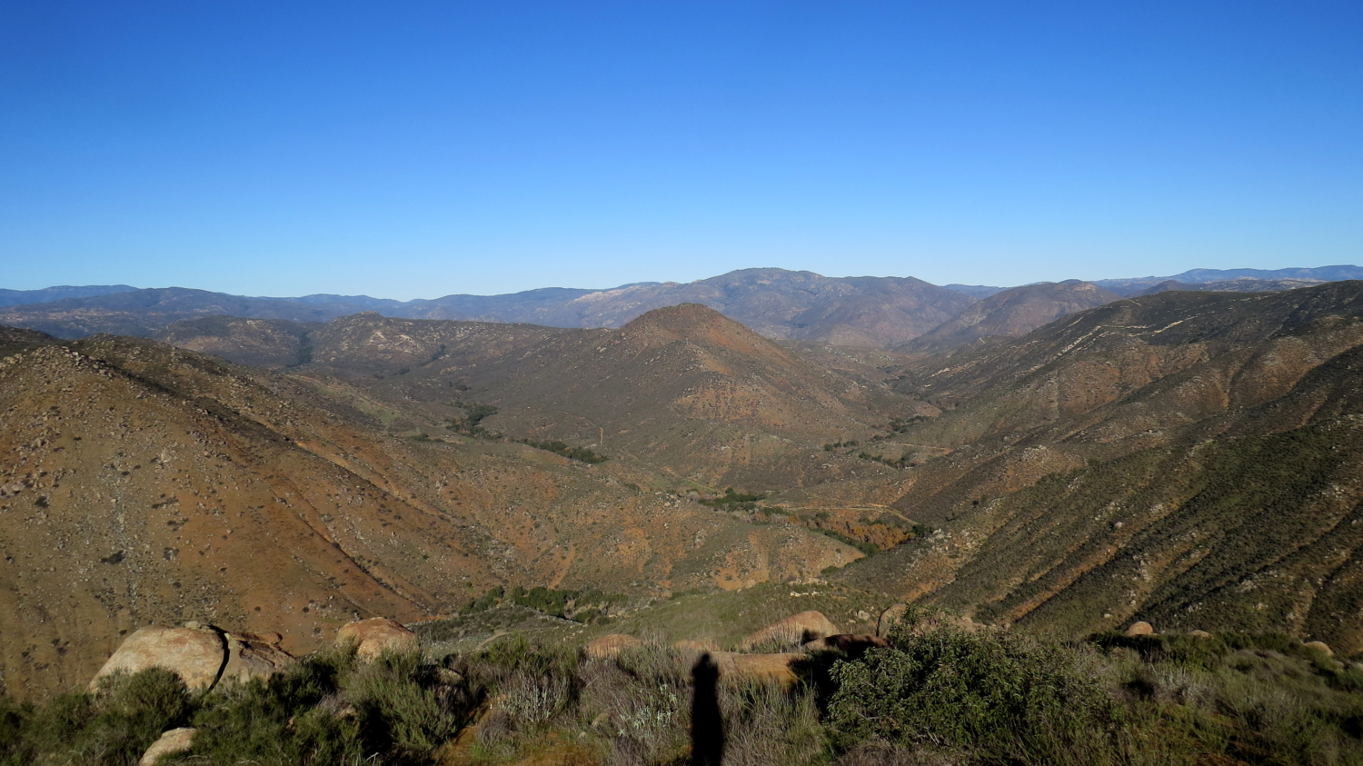
Back at the junction where the two branches split, turn right (or stay straight if you’re skipping the right branch) and proceed along a flat stretch that darts into ravine shaded by thin riparian forest of coast live oaks and a smattering of sycamore. Beyond the ravine, the trail switchbacks up toward a boulder-studded knob marked 1755 on the topo maps. This spot is the high point of both the hike and the southern wall of the canyon, although you’d have to do a lot of bushwhacking to reach this summit. After the trail crests the base of this knob, you will drop down to a saddle where a more expansive view east across Ramona Valley toward the Cuyamaca Mountains unfurls before you.

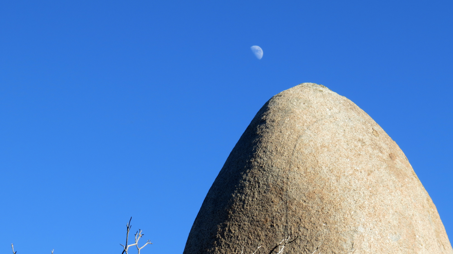
Just beyond the saddle, a fun little surprise awaits you. At 2 miles, you reach a large boulder upon which somebody has bolted a pair of iron rocking chairs. A wooden staircase on the backside of the boulder provides access to the chairs. A welcome mat invites you to climb up, and the only thing absent is an ice-cold pitched of lemonade and an umbrella to block out the unremitting sunshine. It’s hard to imagine a nicer spot in the area to sit upon the chairs and survey the impressive view before you. In addition to the view east, you’ll now be able to pick out some of the Palomar Mountains to the north. Higher and less obstructed, this viewpoint trumps the viewpoint on the right branch.

You can continue beyond the chairs toward a final viewpoint atop a point marked 1635 on the topos. This is the end of the line, as there’s nowhere to go from here but straight down through dense chaparral to the Orosco Truck Trail leading into Boden Canyon 1,000’ below.
Tags: Black Mountain, Clevenger Canyon, Escondido, Highway 78, Orosco Ridge, Ramona Valley, Safari Park, San Pasqual Trails, San Pasqual Valley, Santa Ysabel Creek


