Along the western outskirts of Ventura County lies Challenger Park, which sits quietly and unassuming in the Simi Hills. Without obvious points of interest or prominent recognition, it’s easy to overlook this local open space. However, its magic lies in its simple beauty. At just under 5 miles and with a cumulative elevation gain of about 900 feet, hiking the Challenger Park Loop is a perfect way to immerse yourself into this dreamy, peaceful, and rarely visited landscape.
I met up with a friend on a Saturday morning in May and was surprised at the emptiness of the parking lot next to the trailhead – there were at least 50 open spots when we arrived. Aside from several trash cans, the accommodations were sparse. Also, next door were horses in their stables. I assume that they use this trail on occasion, although we didn’t see any on our hike.
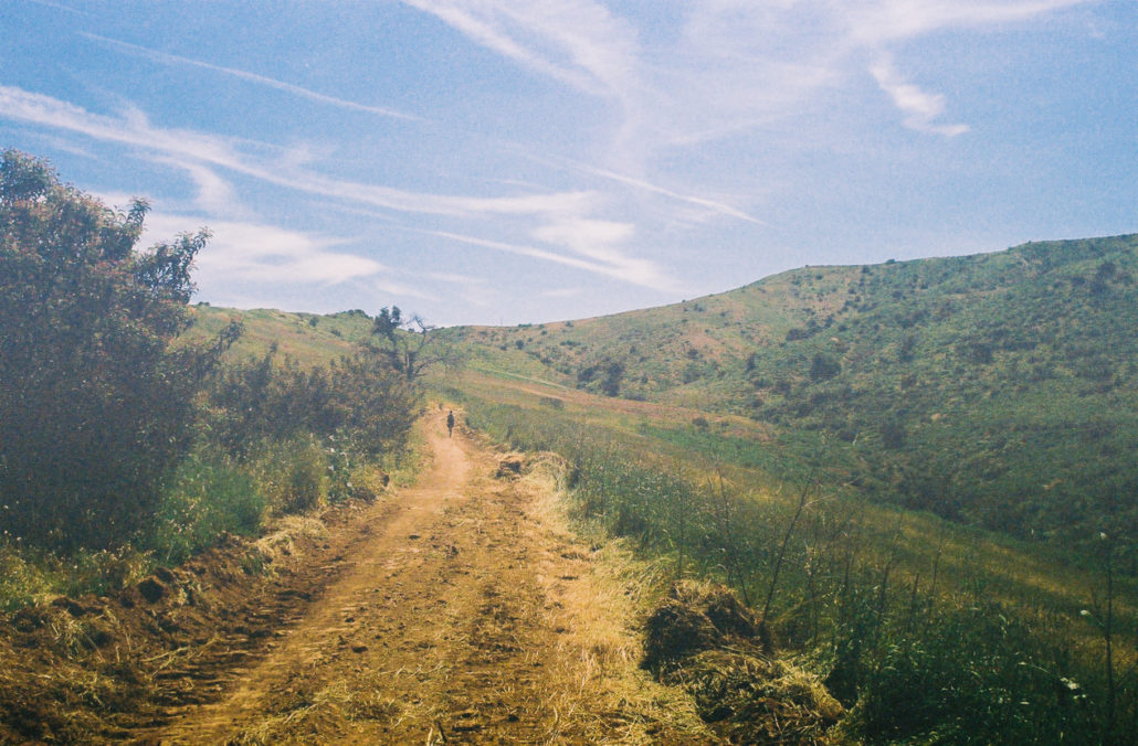
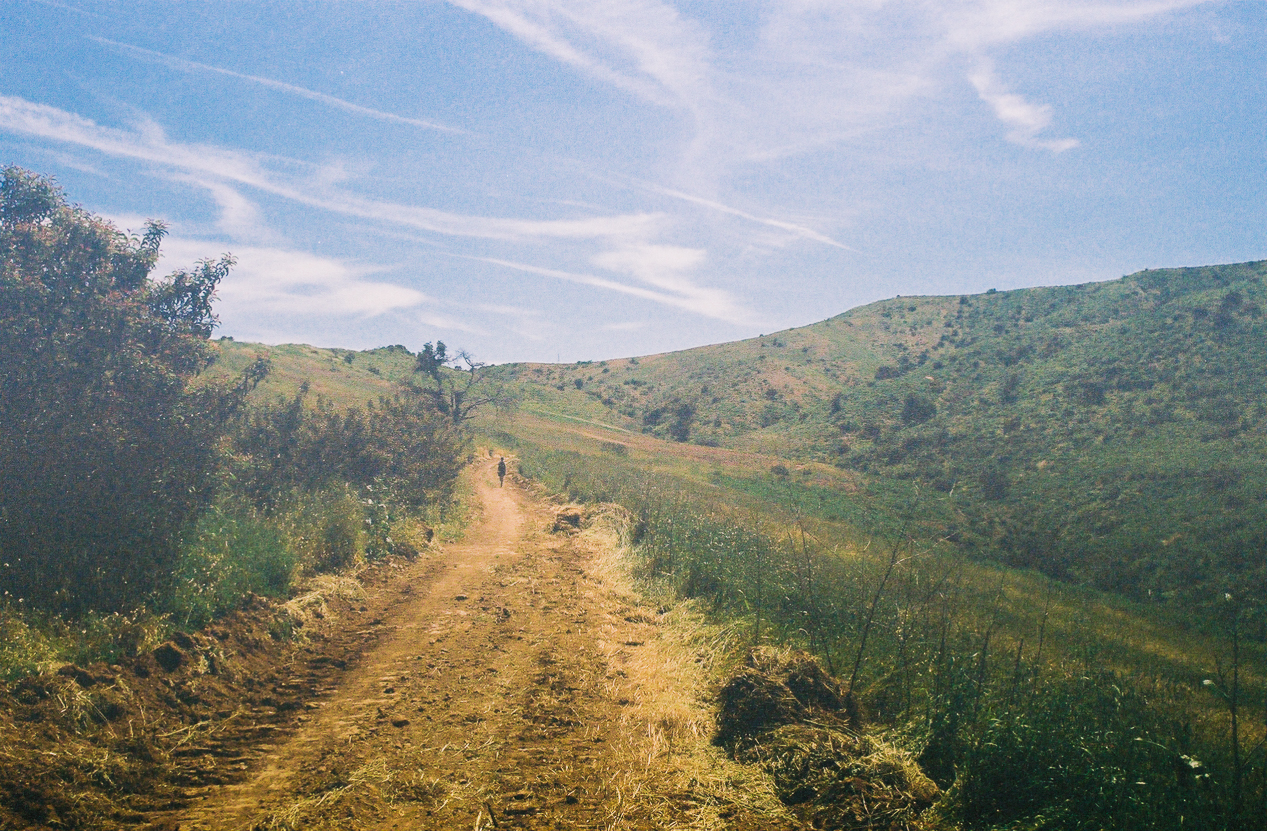
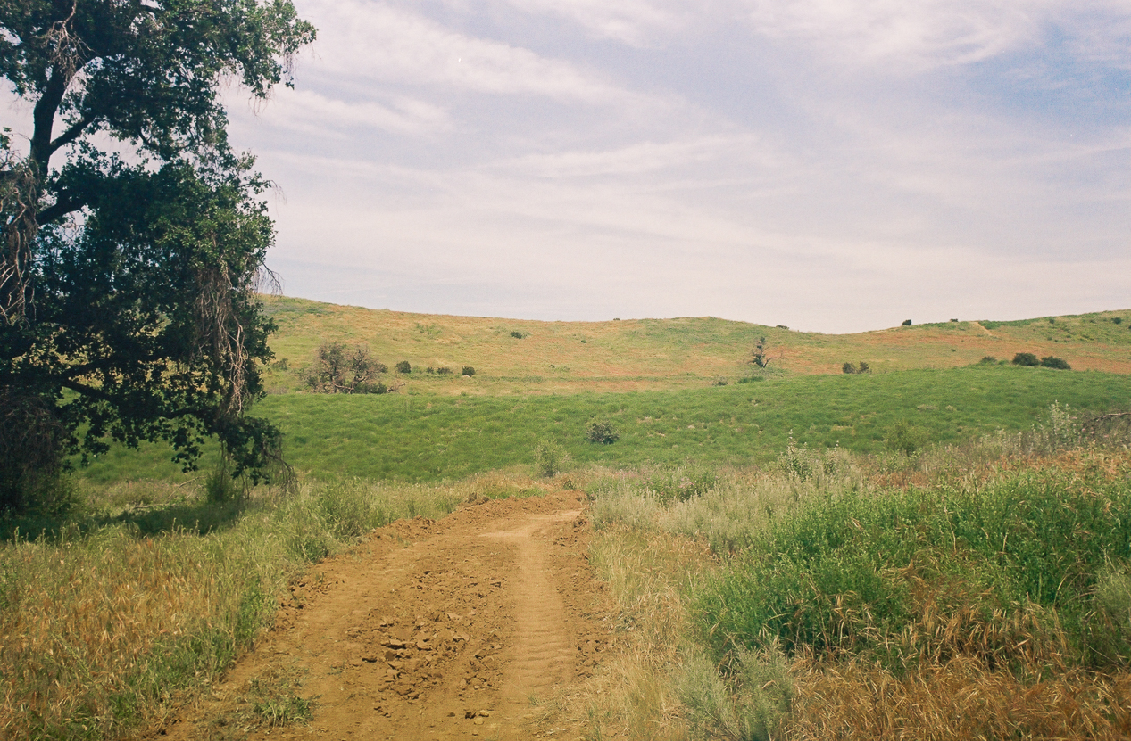
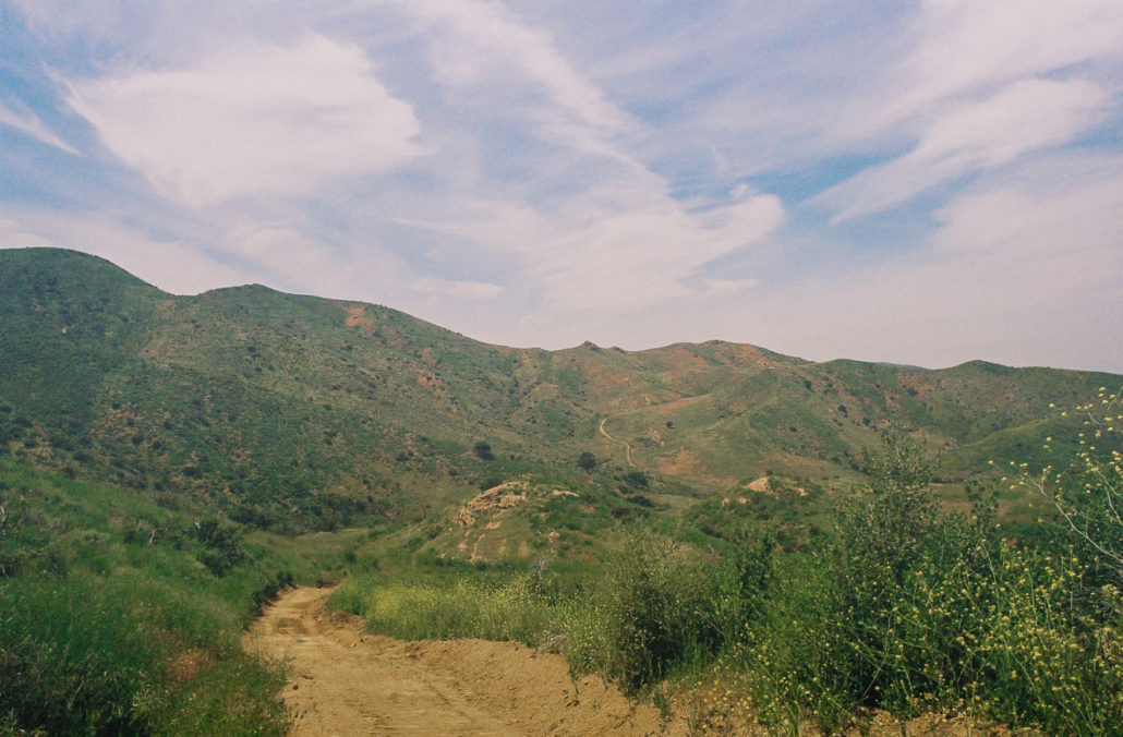
Tire marks scared most of the trail we hiked. Shot on Kodak gold 200 film.
The hike starts with a slight incline along a small single-track path before joining a much wider trail. During this section, you’ll traverse through several small rolling hills, which during the spring are covered in fields of grass flowing freely in the wind. Also blooming along the trail was purple nightshade. It’s a picturesque and idyllic scene that will make you feel like you’re in a movie and questioning if you are – really – still in Southern California.
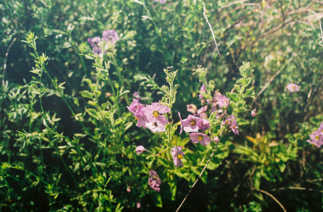
We ran into several bunches of Purple nightshade in full bloom. Shot on Kodak gold 200 film.
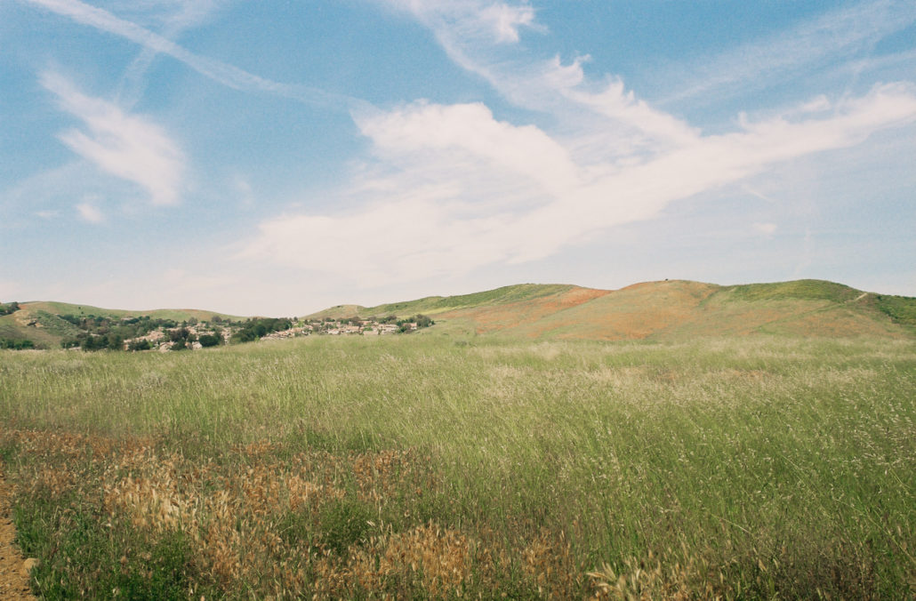
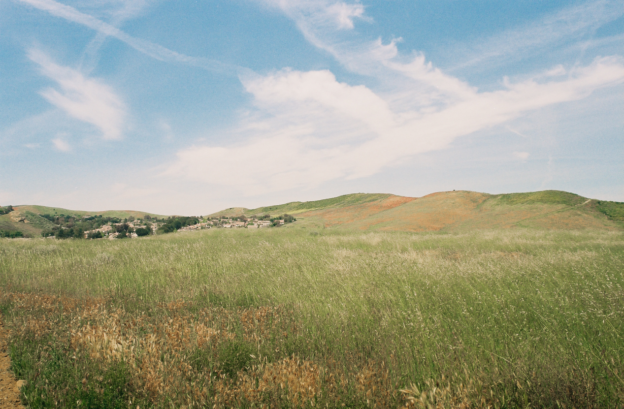
The grass-covered hills and fields were straight from a dream. Shot on Kodak gold 200 film.
At 0.5 miles, you’ll turn right at the junction, and then two-tenths of a mile after that head left. At around the 1-mile mark, you will reach the start of both the loop and the big uphill section. We decided to head left and tackle the trail clockwise.
As we ascended, we began to notice just how intense the sun felt on our bodies – most of the first half of this hike is very exposed. We also passed by metal wire fences held in place with wooden stakes, making it feel like were walking past a ranch in rural America … which, although it’s odd to think of now, is exactly what this land was considered not that long ago.

Small sections of fenced-off property gave this section a ranchy feel. Shot on Kodak gold 200 film.
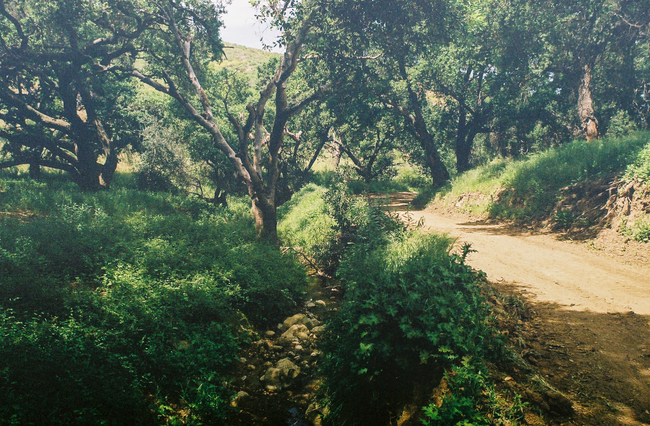
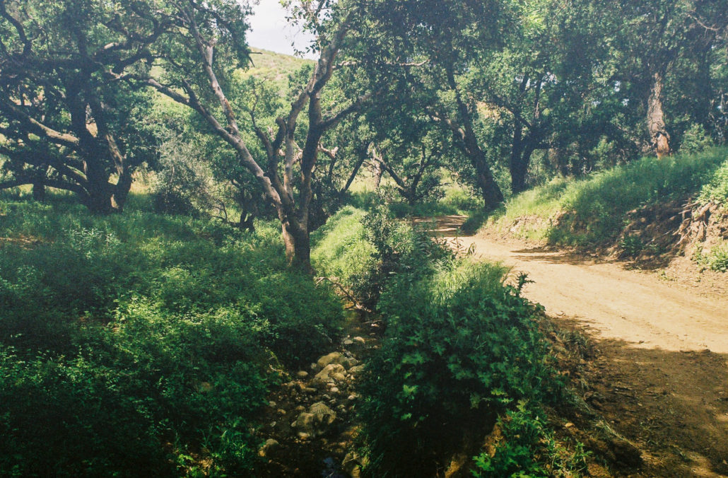
At 1.2 miles head left, avoiding the path that is not as well-worn. You’ll soon approach a lusher area with a trickling stream and trees large enough to provide some much-needed shade. We rested and ate lunch here.
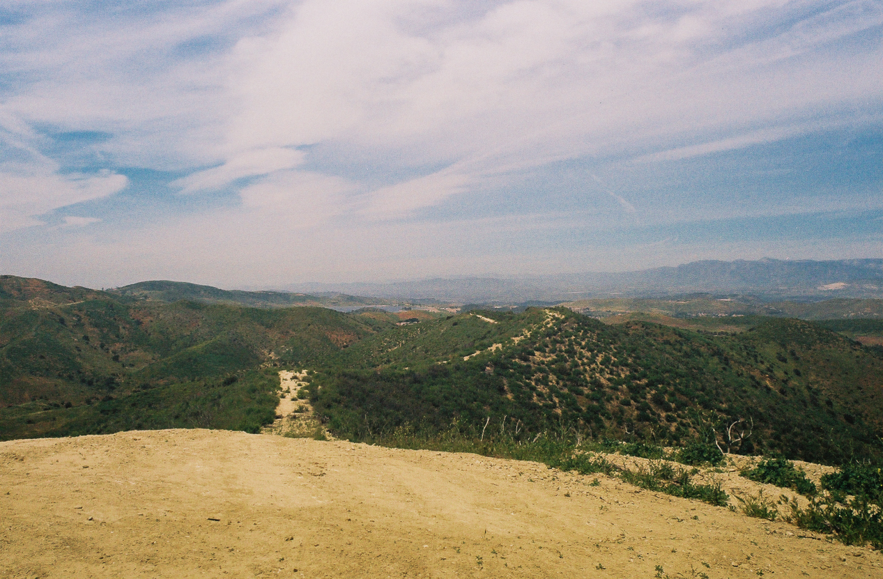
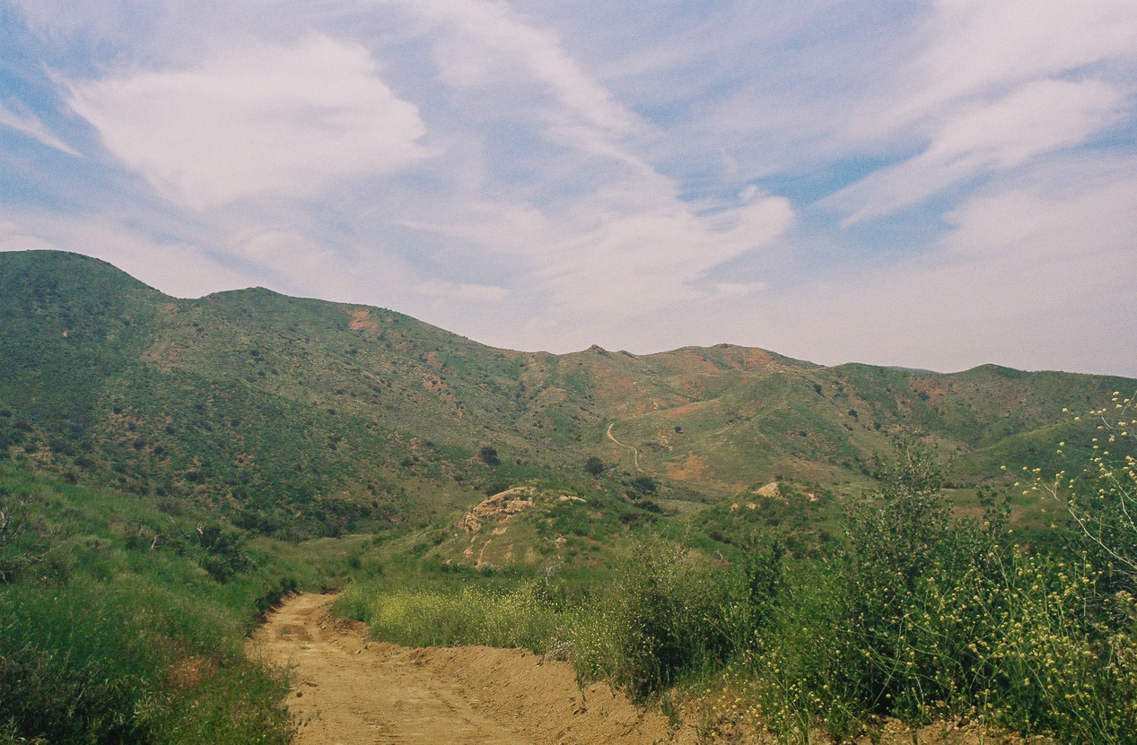
After our break, we got back on our feet and continued our hike. You’ll reach another junction at mile 1.9 – stay left and continue uphill. About half a mile later, you will see a bench perched on the top of the hill, marking the high point of the trail. It’s a great place to rest and enjoy views of the rolling hills around you, the businesses and residences of Simi Valley, and the Santa Susana Mountains off in the distance.
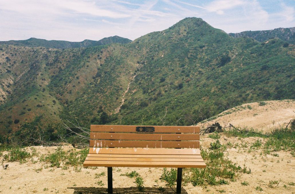
This bench marks the trail’s high point. Shot on Kodak gold 200 film.
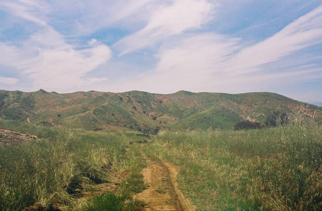
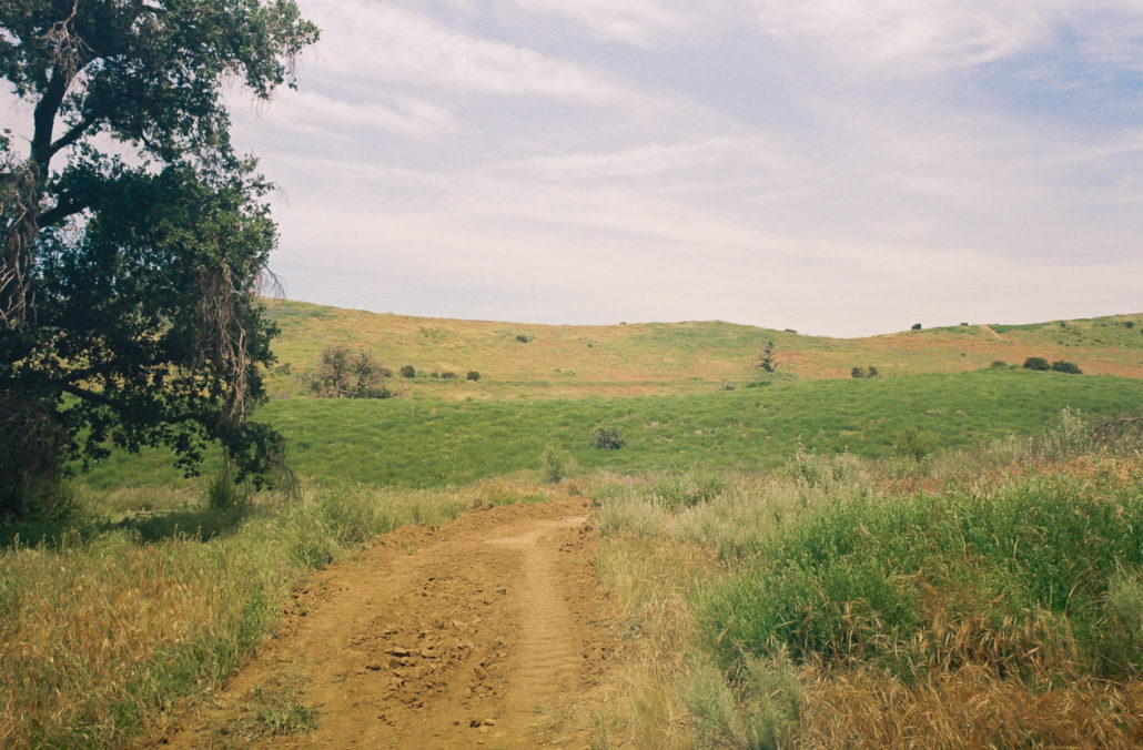
You’ll lose elevation for the rest of the loop, and the trail can be slippery in places so make sure to tread carefully through the steep sections. But don’t only keep your eyes fixed on the ground, as the gorgeous grass-and-wildflower-covered hills are truly spectacular here.
The grass-covered rolling hills seemed to go on forever. Shot on Kodak gold 200 film. Shot on Kodak gold 200 film.

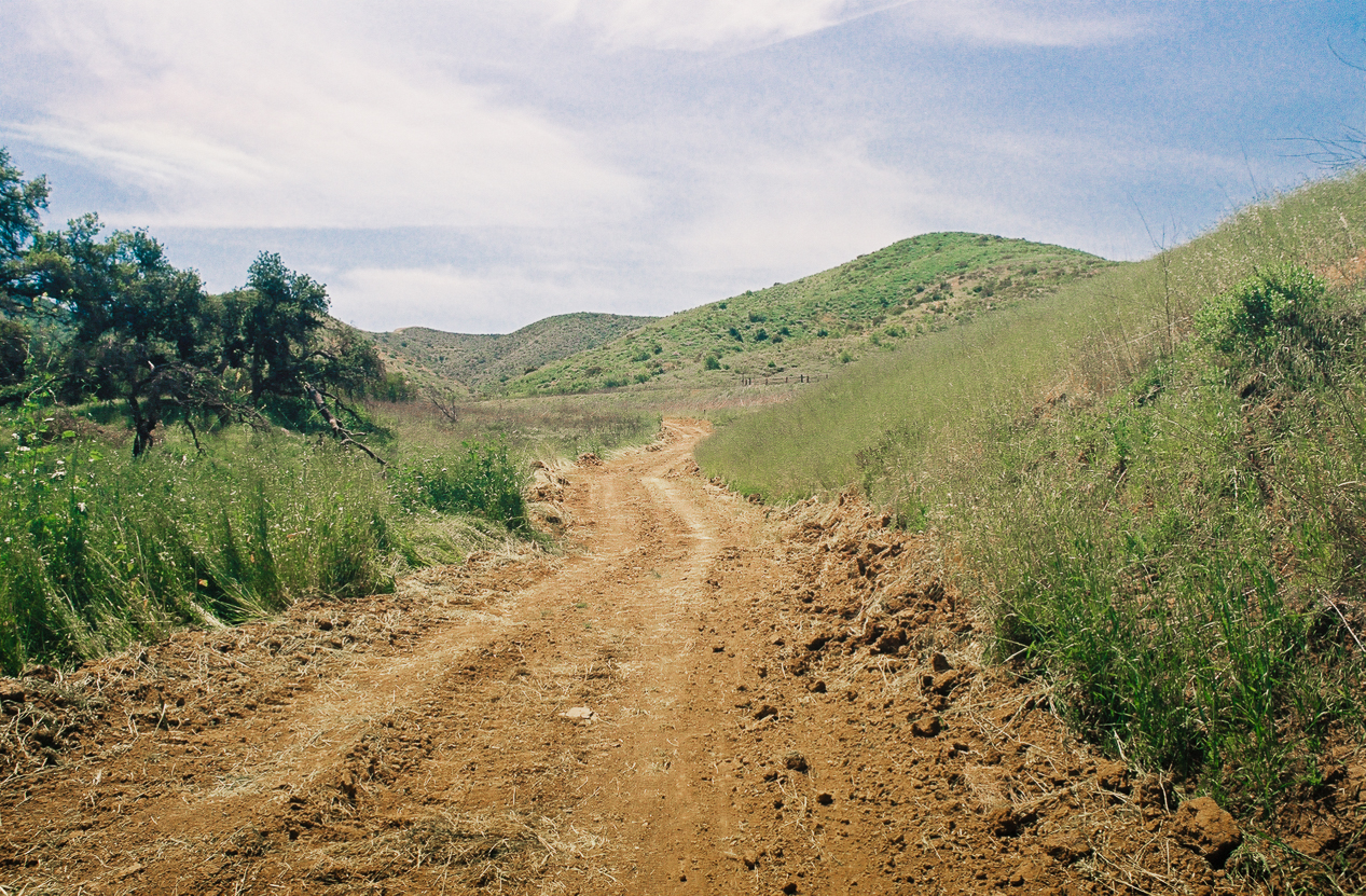
The trail was a little loose and unkept on our descent. Shot on Kodak gold 200 film.
At 3 miles, head right. You’ll notice that the trail’s grade becomes less severe and the environment changes significantly, with lots of tree cover and a small stream flowing to your left. Soon, houses will begin to appear along the trail. It was interesting to see pools, trampolines, and perfectly manicured lawns juxtaposed with the untamed and chaotic growth of plant life just feet away, separated by only thin fencing.
The small stream and trees were a nice contrast to the exposed hills. Shot on Kodak gold 200 film.
Just before the 4-mile mark, you will reach a small dirt lot. Walk to the other side and take the trail to the left. After a slight incline, you will reach the end of the loop. Turn left to head back the way you came and complete your hike.
We enjoyed our last few moments of serenity before heading back to our cars. Shot on Kodak gold 200 film.
Tags: hills, River, Simi Valley, solitude, wildflowers