History of Santa Susana Pass
Santa Susana Pass State State Historic Park sits in the northwestern corner of the City of Los Angeles, its status as a borderland drenched in history. Here, a narrow, rocky pass between the Simi Hills and Santa Susana Mountains has been an important corridor of trade and travel for generations. This was a major trade route between the Tongva of modern day Los Angeles County and Tataviam tribes to the north and Chumash to the west.
Spanish colonial governors cut a rough-and-tumble wagon road into the rock here to connect the network of missions. Americans improved the road later (and here, the word “improved” is to be taken with a grain of salt) and for a time this was the primary land route between San Francisco and Los Angeles. The route was traveled by the Butterfield Overland Mail Route — the first transcontinental mail system. Later on, one of the country’s most notorious cults launched a spree of murders in at attempt to incite apocalyptic race wars here, too.
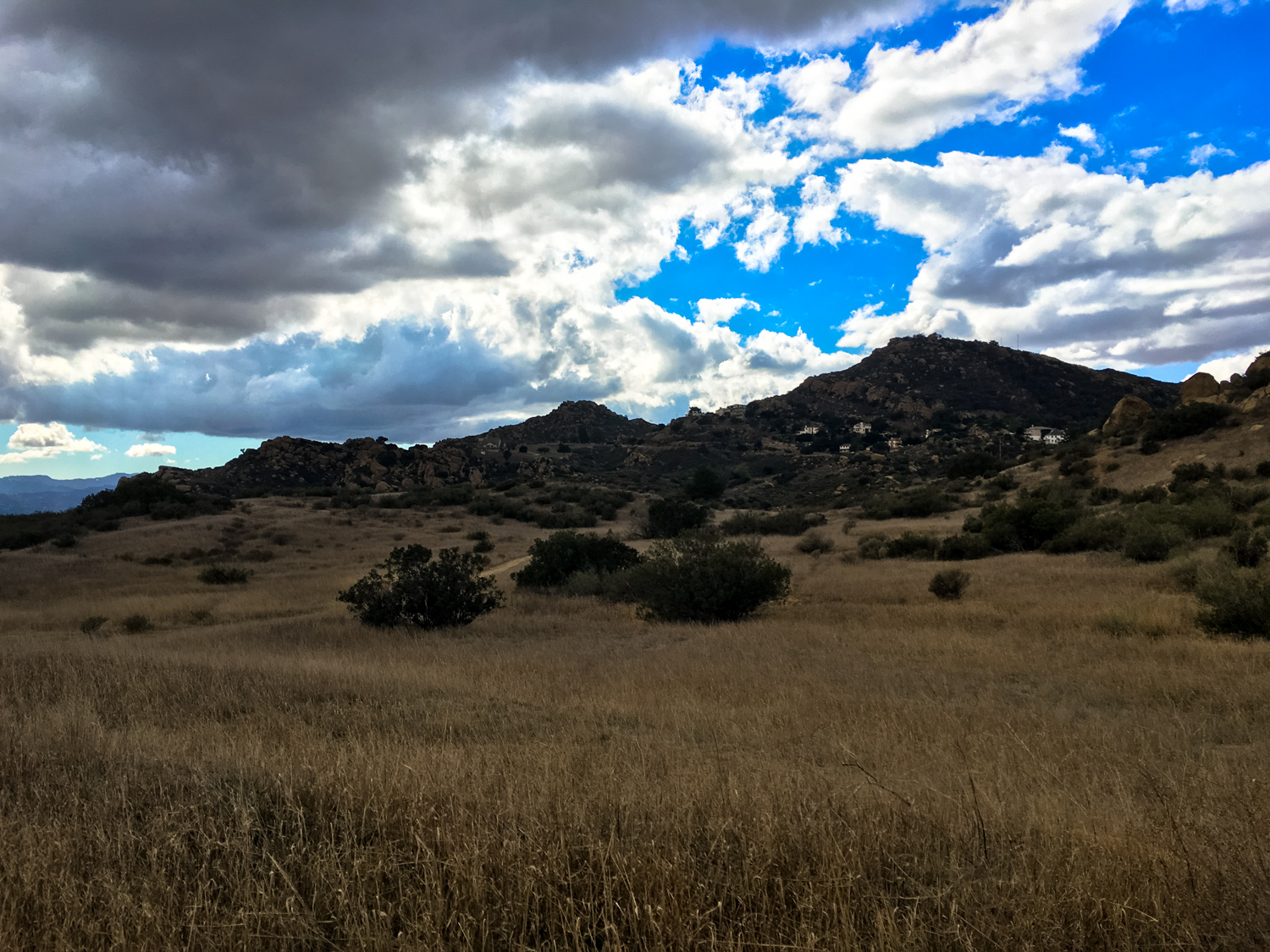
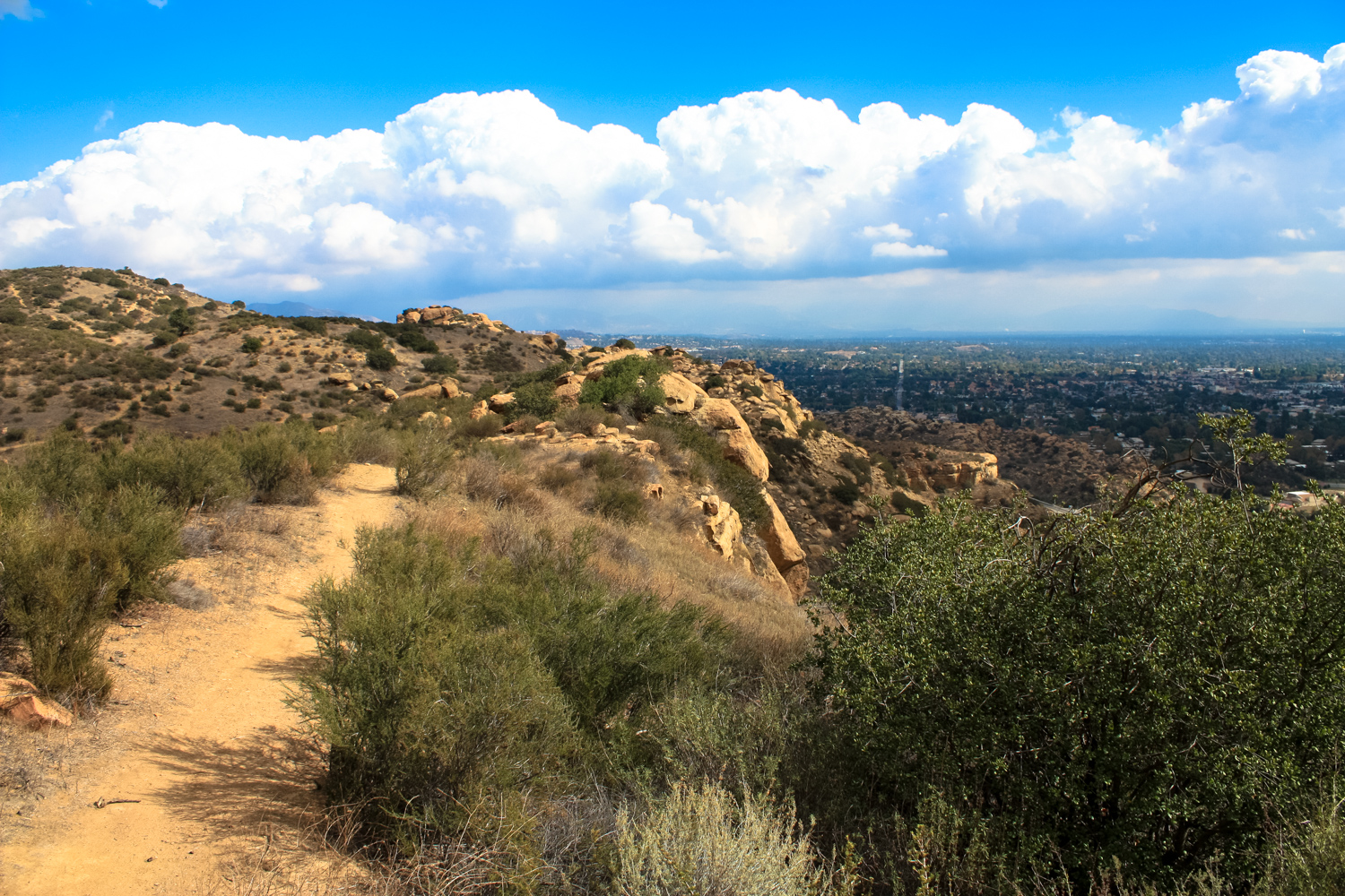
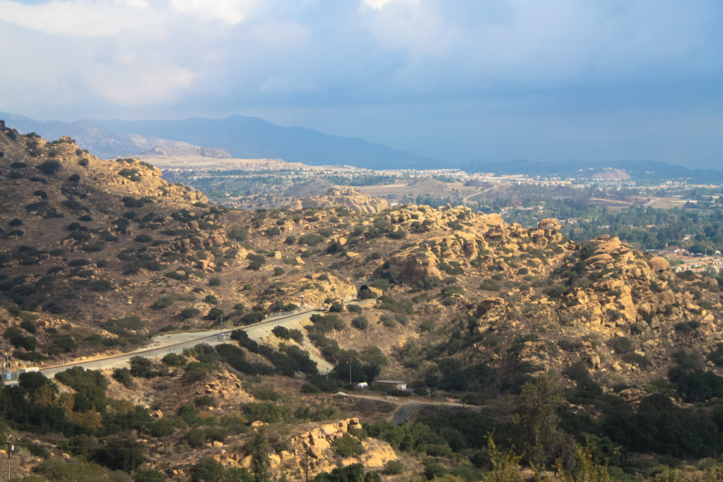
Today, the park is a surprisingly rugged and stunningly beautiful region at the edge of Los Angeles, with easy and challenging hiking, biking, and horseback riding routes that can be enjoyed during the cooler months. There is almost no shade in this park, and the combination of full sun and steep climbs doesn’t necessarily lend itself to fun hiking in hot weather.
Begin your hike in Santa Susana Pass
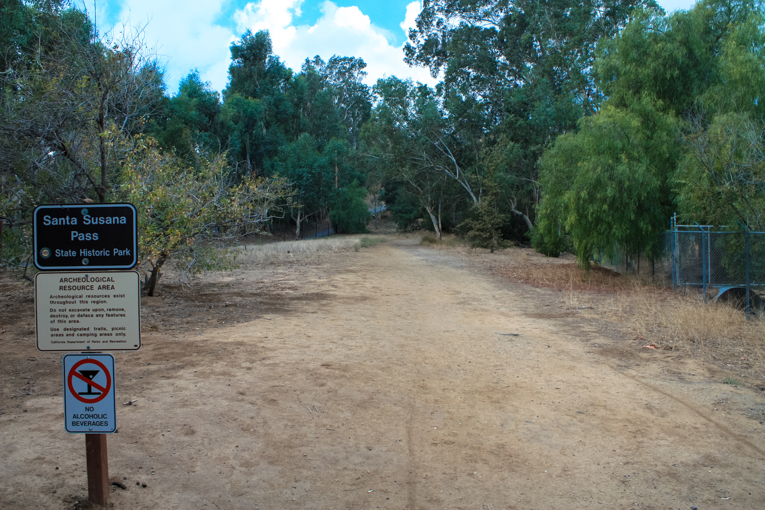
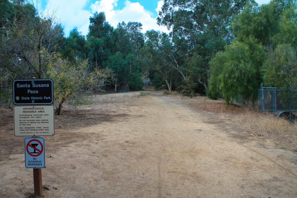
Park along Andora Avenue and look for the entrance in the southern portion of the park. Note the signs designating this an archeological resource area — stick to the established trails. Although this should go without saying, leave everything exactly where you found it. The region’s rich history means there are lots of artifacts here that may still have yet to be discovered by archaeologists!
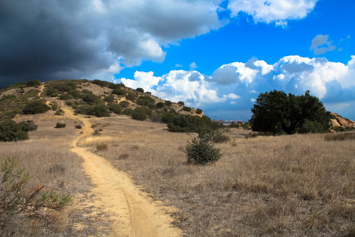
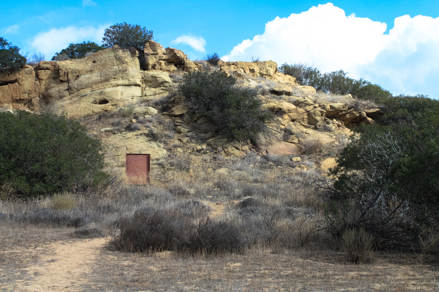
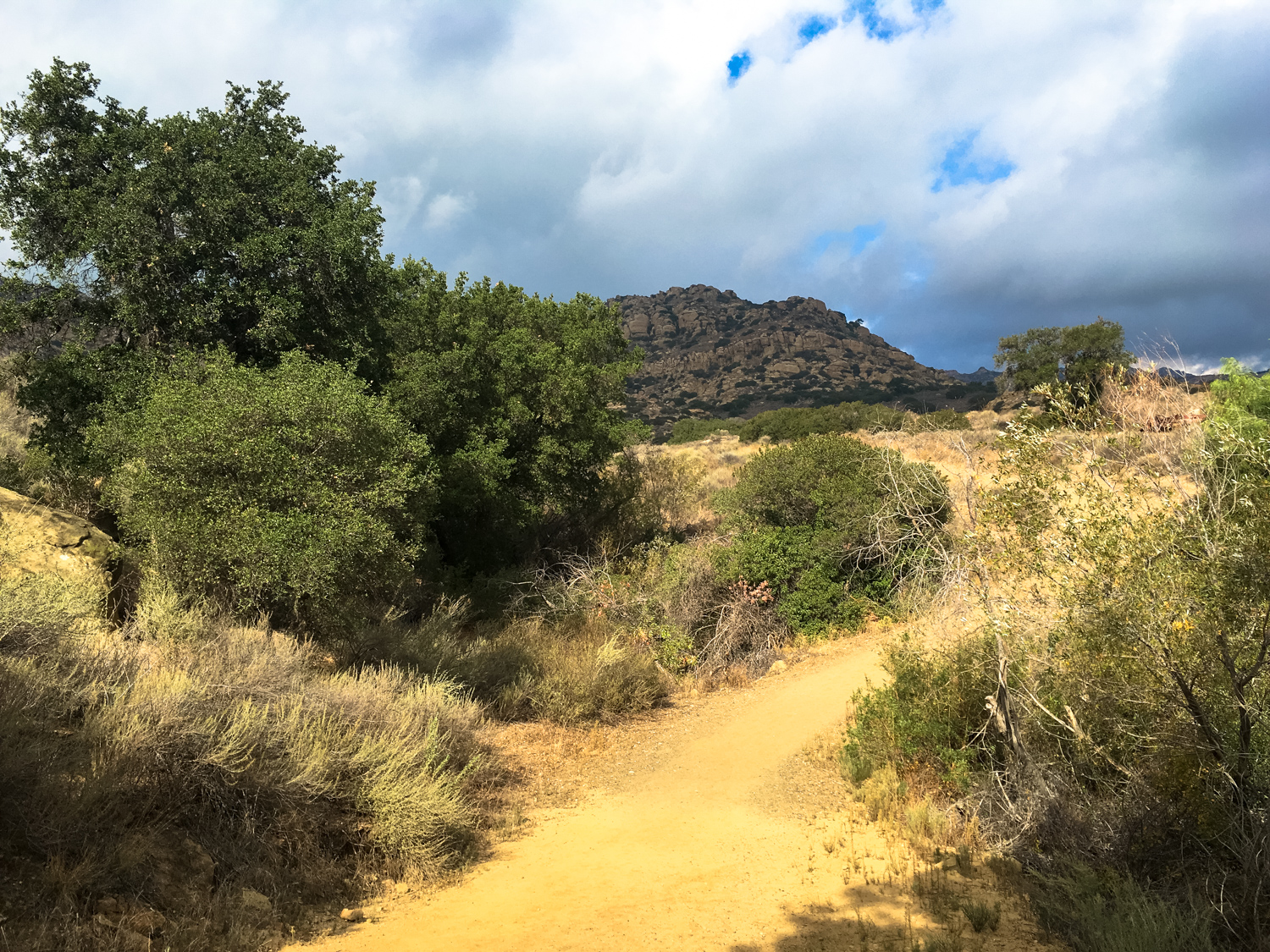
The first 0.3 mile of the route follows a seasonal arroyo turned into a drainage ditch. Some old growth oaks and sycamores peek out from the non-native trees planted by ranchers, but after the 0.3 mile mark you’ll start to see some of the spectacular geology that’s truly at the heart of this park:
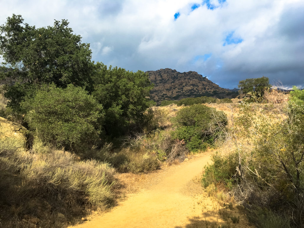
The trail reaches a broader, open field at the foot of the Simi Hills here, and the old ranch roads spiderweb out in seemingly every direction. You can explore to your heart’s content, but to follow the route as described here, you’ll want to stay straight until about 0.8 mile, where you’ll make a sharp left turn and start climbing up toward the mountains. Feel free to explore side trails as you see fit — there are lots of remnants of the area’s old ranching history here, including filled in wells and troughs and abandoned vehicles and machinery.

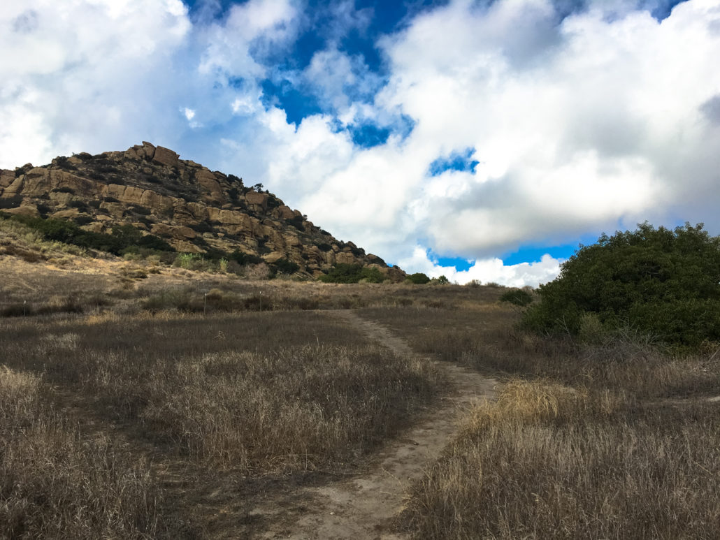
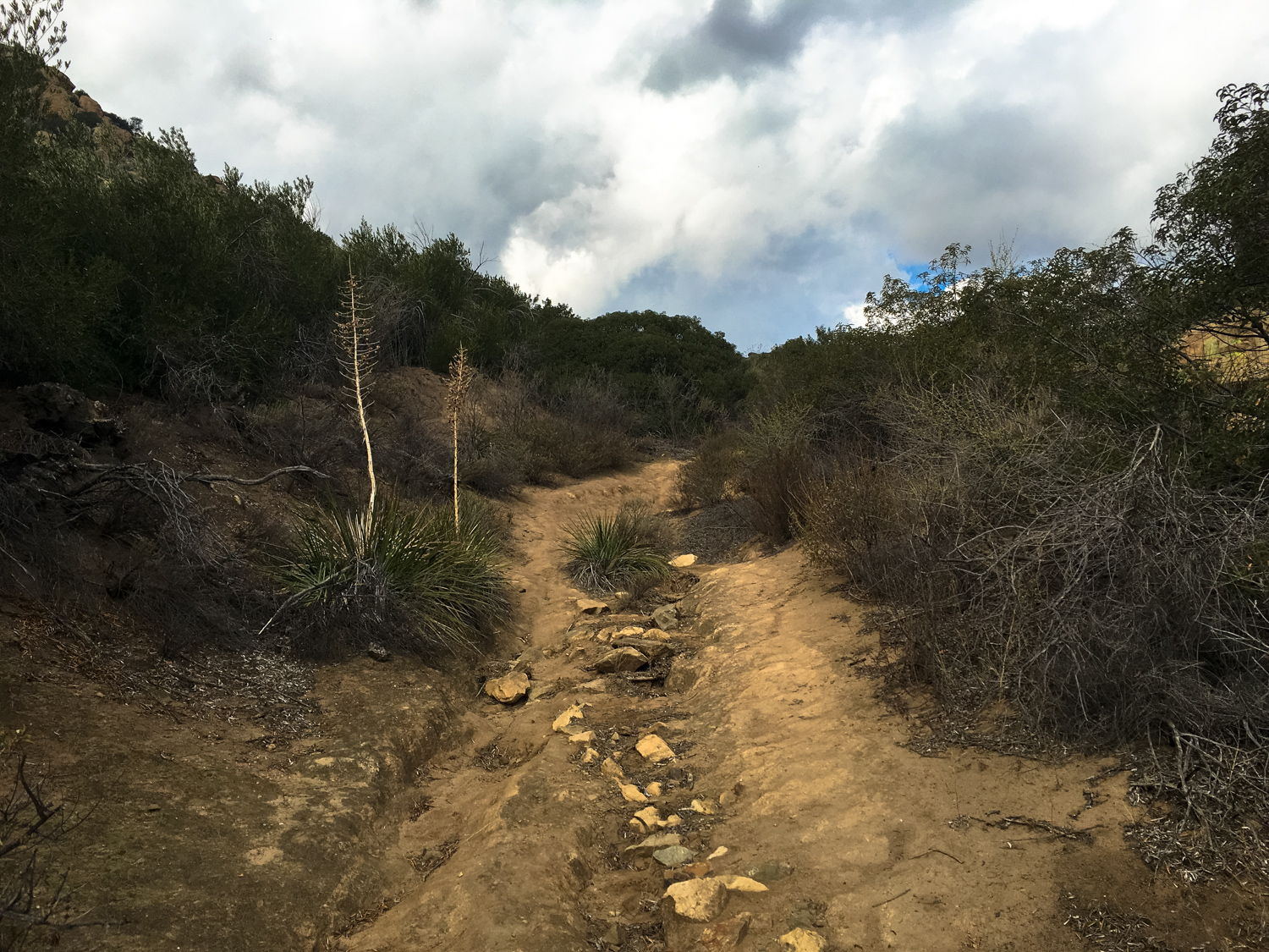
Start heading up here
The old stagecoach road at Santa Susana Pass
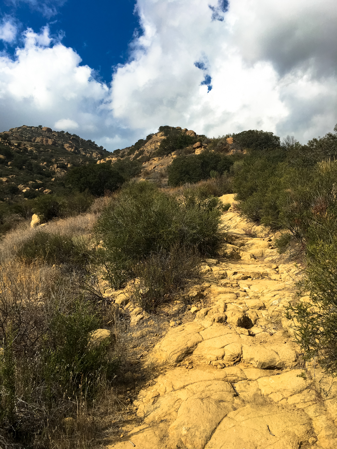
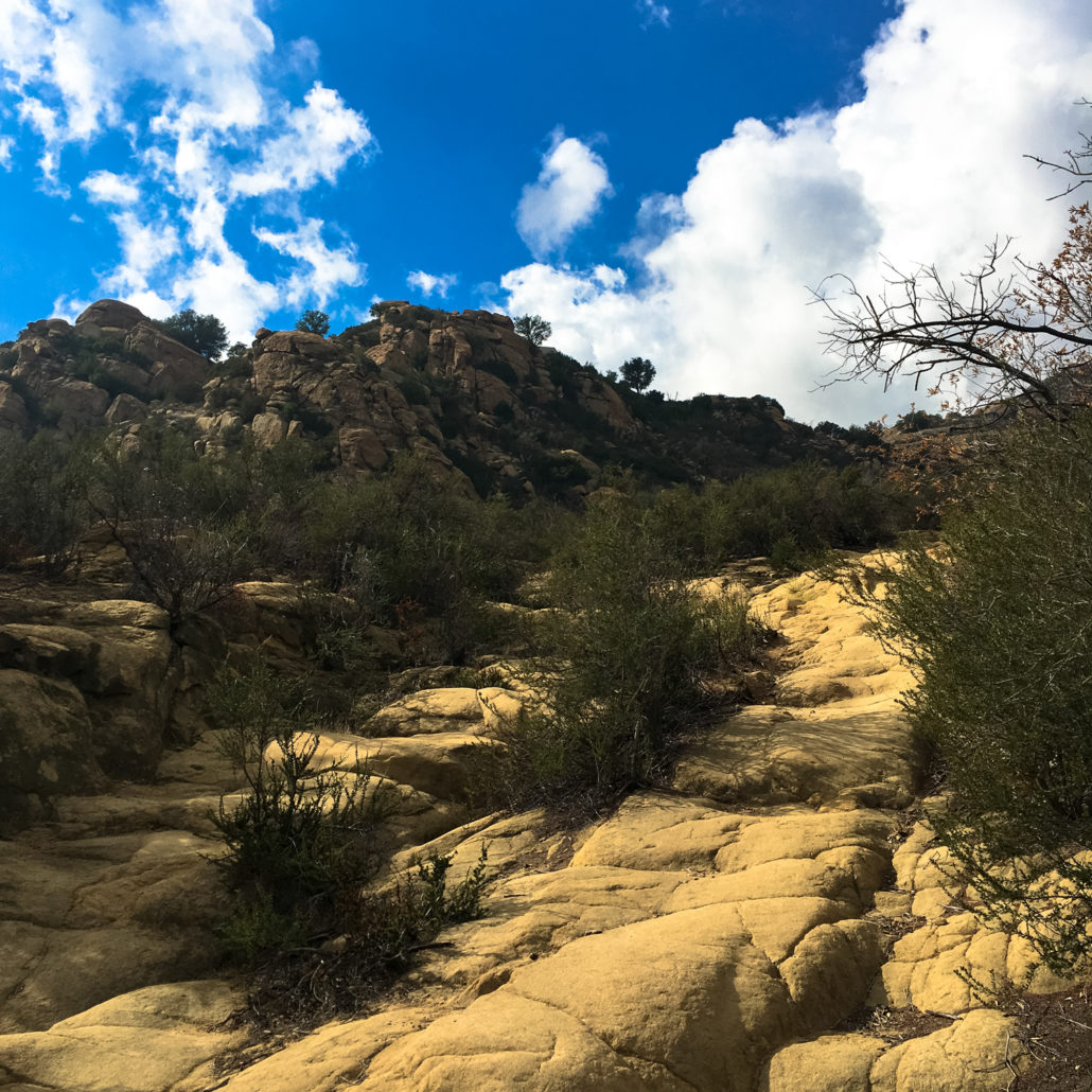
Once you start heading up, here, you’re on the remnants of the old Santa Susana Stagecoach Road … although at first it really doesn’t look much like a road:

But a bit further up the mountain, you’ll see a more clear – albeit still fairly faded – road remnant in the ground below you:
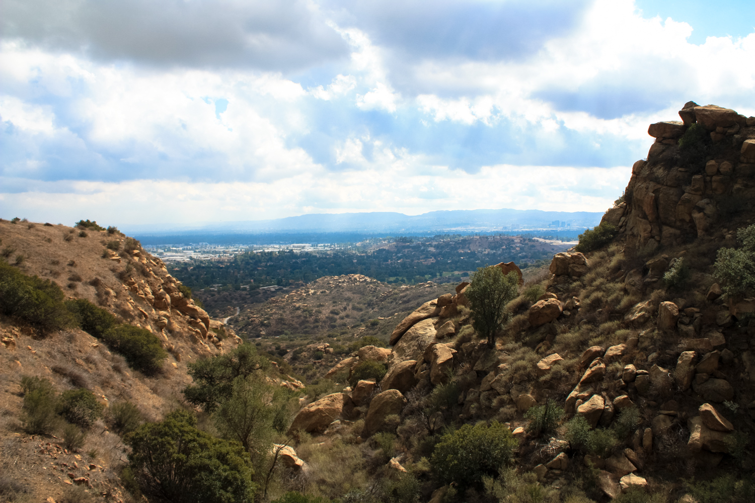
This is the part of the road affectionately known as “The Devil’s Slide.” This nearly sheer rock stretch of steep, cliff-side road was not very well liked by travelers, especially those coming south toward Los Angeles. According to historical accounts, the brakes on the wagon wheels would almost constantly be throwing sparks up toward the wagon itself. Passengers also sometimes were asked to exit their vehicles and walk alongside the wagon while holding rocks to throw in front of the wheels in case those hard-working brakes gave out. Sounds super safe, right?
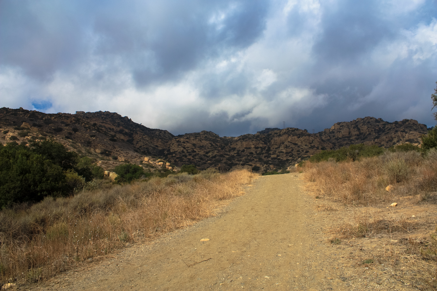
Hiking up this steep graded section of the trail, you’ll be amazed that people used to take wagons up here. Looking down and to the east, you might also imagine the very welcome relief the still-in-use rail route gave travelers who preferred getting from point A to point B without, say, worrying they would be run off a narrow cliffside road by their vehicle.
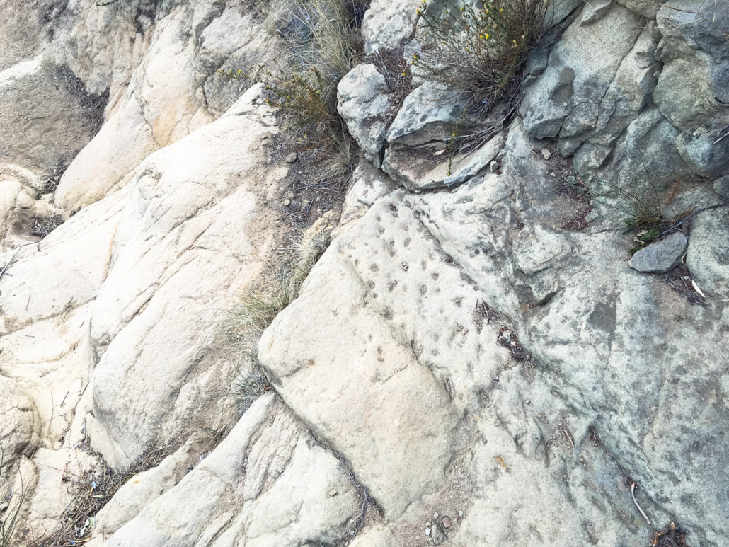
a wagon rut left in the rock on the old road
Built in 1904 by the Southern Pacific Railroad, the tunnel through the Santa Susana Pass vastly improved travel. At 7,369 feet long, this remains the longest railroad tunnel in Southern California.
As if the road itself wasn’t dangerous enough, the treacherous and isolated qualities of the Devil’s Slide also made it a prime locations for holdups. Legendary outlaw / freedom fighter Tiburcio Vasquez (for whom Vasquez Rocks was named) was known to frequent this region.
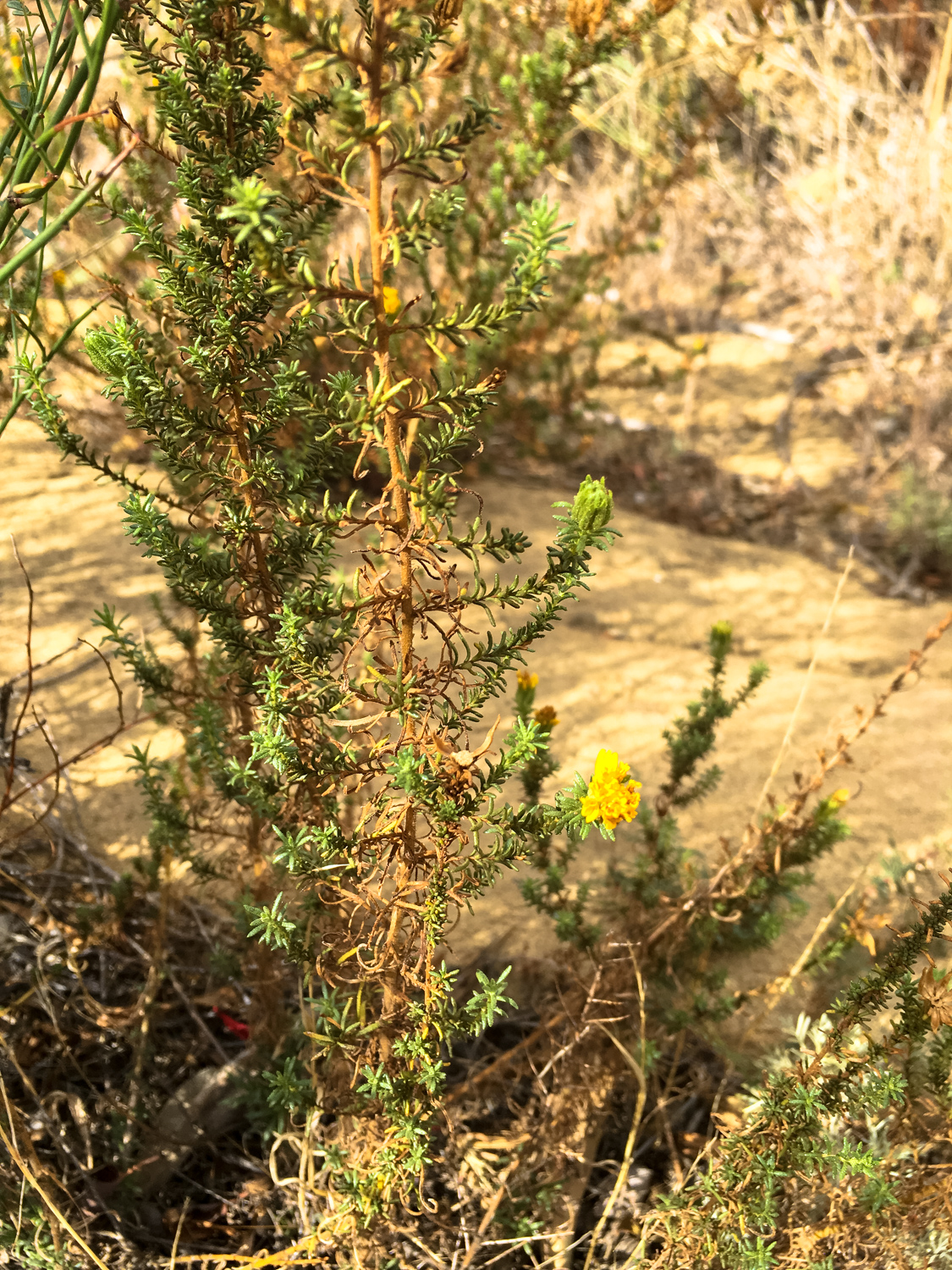
Today, you won’t have to worry about runaway wagons or bandits, and can instead enjoy the rugged landscape and native plants. The endangered Santa Susana Tarweed is endemic to this region. It looks fairly inconspicuous most of the year, but when its yellow flowers are in bloom it’s a bit easier to spot. Gently rub your fingers along its leaves to get a whiff of its rich, creosote-like aroma (not everyone likes it, but I certainly do!)

Santa Susana Tarweed
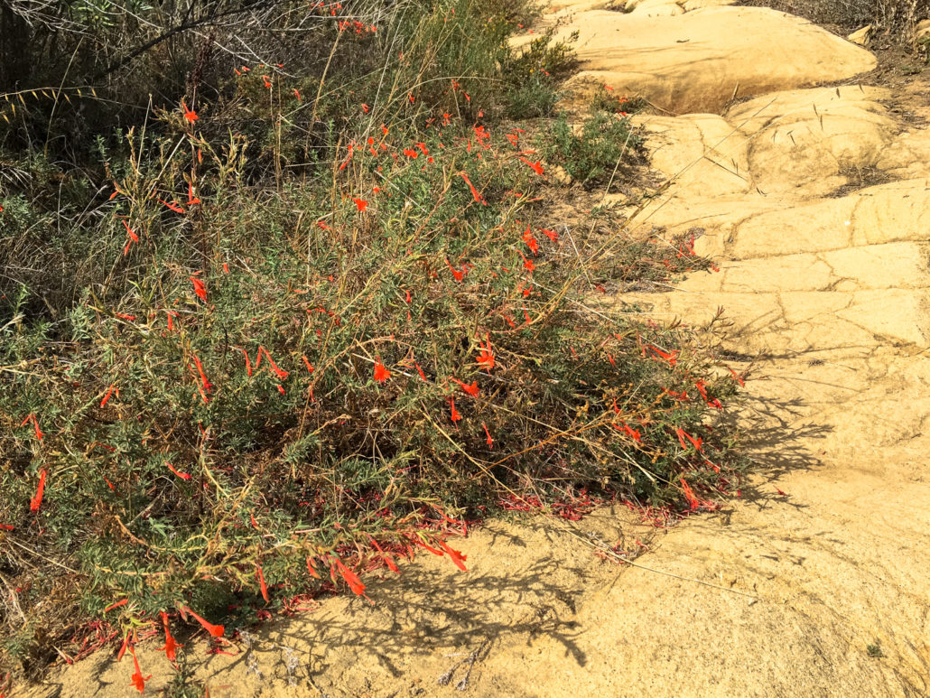
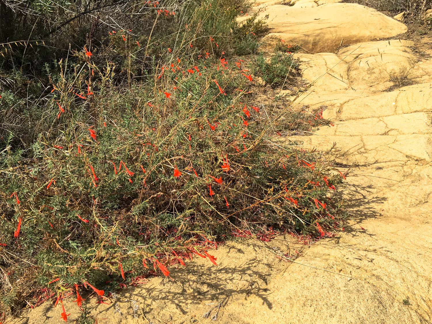
California fuchsia

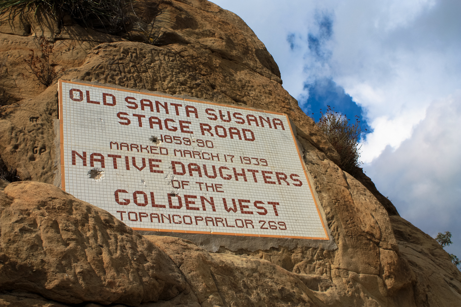
An iconic tile plaque placed to commemorate the Stage Route’s historic status
Railroad tunnels and cult hideouts
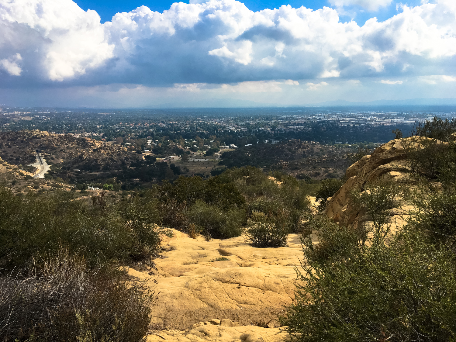
Just before 1.4 miles, you’ll pass this beautiful tile plaque and shortly after you’ll top out near the peak of the old stage road’s ascent. If you continue hiking straight, you’ll end up in a residential neighborhood on Lilac Lane, following the old road’s route west toward Simi Valley. Instead, keep right to head north onto the Mattingly Trail, which makes a sharp turn to the east and crosses over the railroad tunnel.

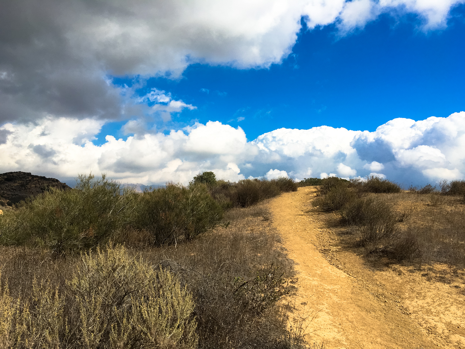
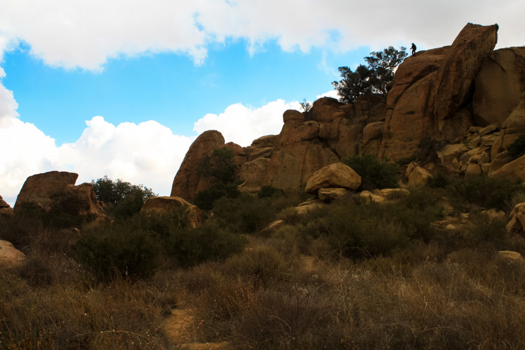
Here, the trail dips down a bit and just before the 2 mile mark, keep right to start a counter-clockwise loop around a large, prominent rocky hill (or use the short, steep use trail right in front of you to head up to the top if that’s more your speed).
The huge boulders and narrow canyons here are and were an easy place to get lost … or to hide out. Whether you were Tiburcio Vasquez or a more modern figure like, say, Charles Manson.
The Manson Family and Spahn Ranch
In 1968, Charles Manson and his Family moved into the Spahn Ranch, an old moviemaking ranch that at this point, had definitely seen better days. Taking advantage of the then 80-year-old owner, Manson caused various troubles in this boulder-strewn outskirt of Los Angeles and spent many hours telling his followers about Helter Skelter — the impending war between the races that would eventually annihilate all of humanity (except for the Manson Family, of course). One year later, the Family orchestrated and carried out several murders from the Spahn Ranch — including the infamous Sharon Tate murder — before fleeing to a hideout in Death Valley.
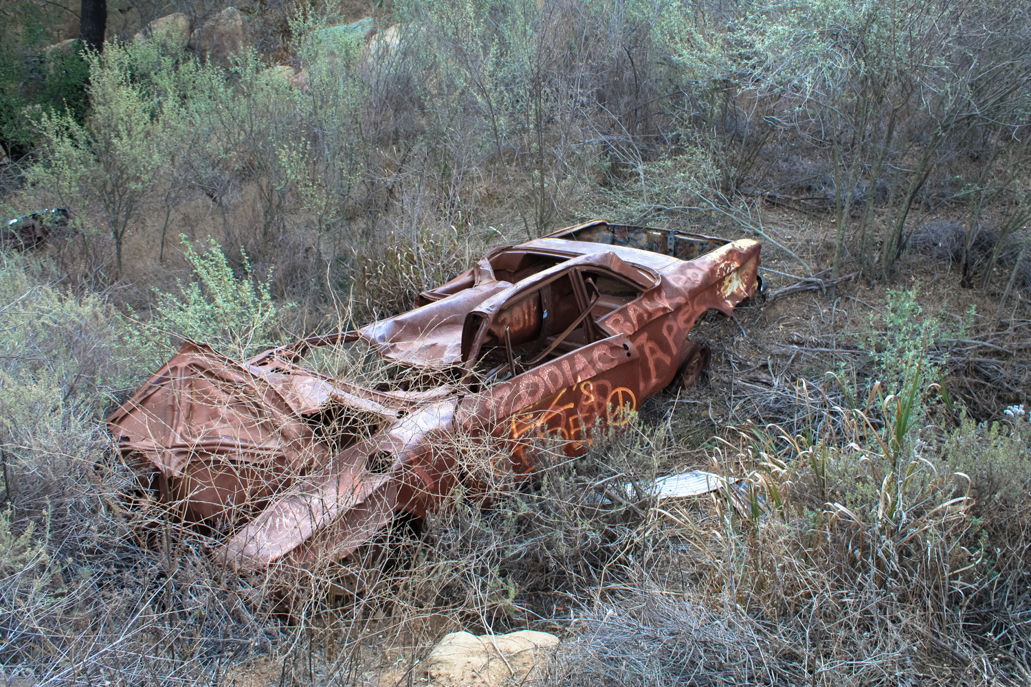
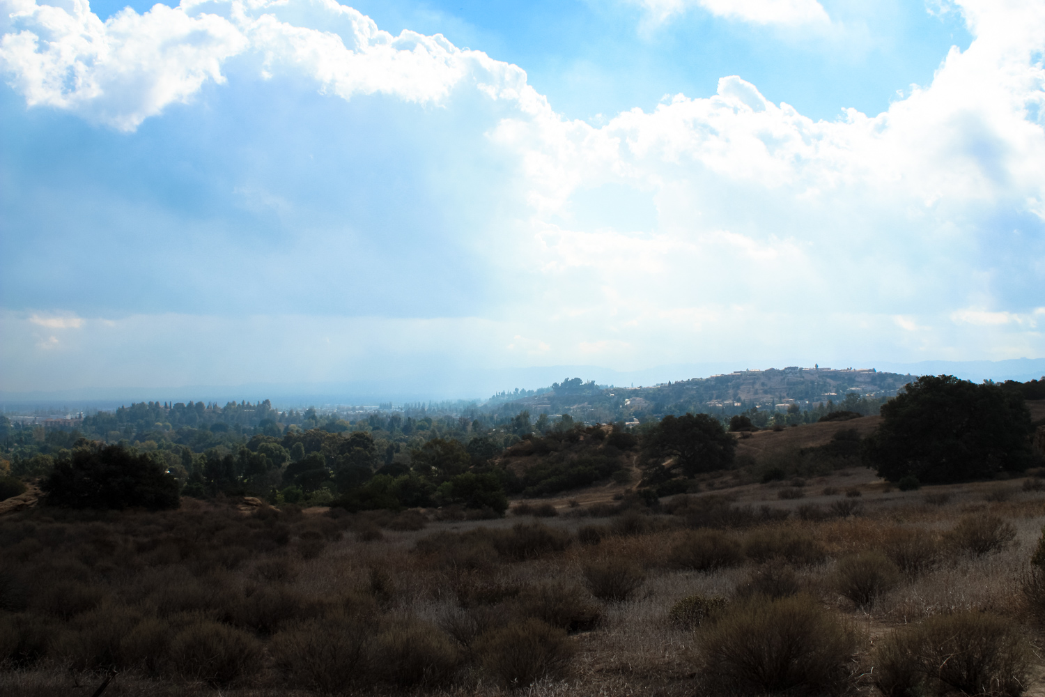
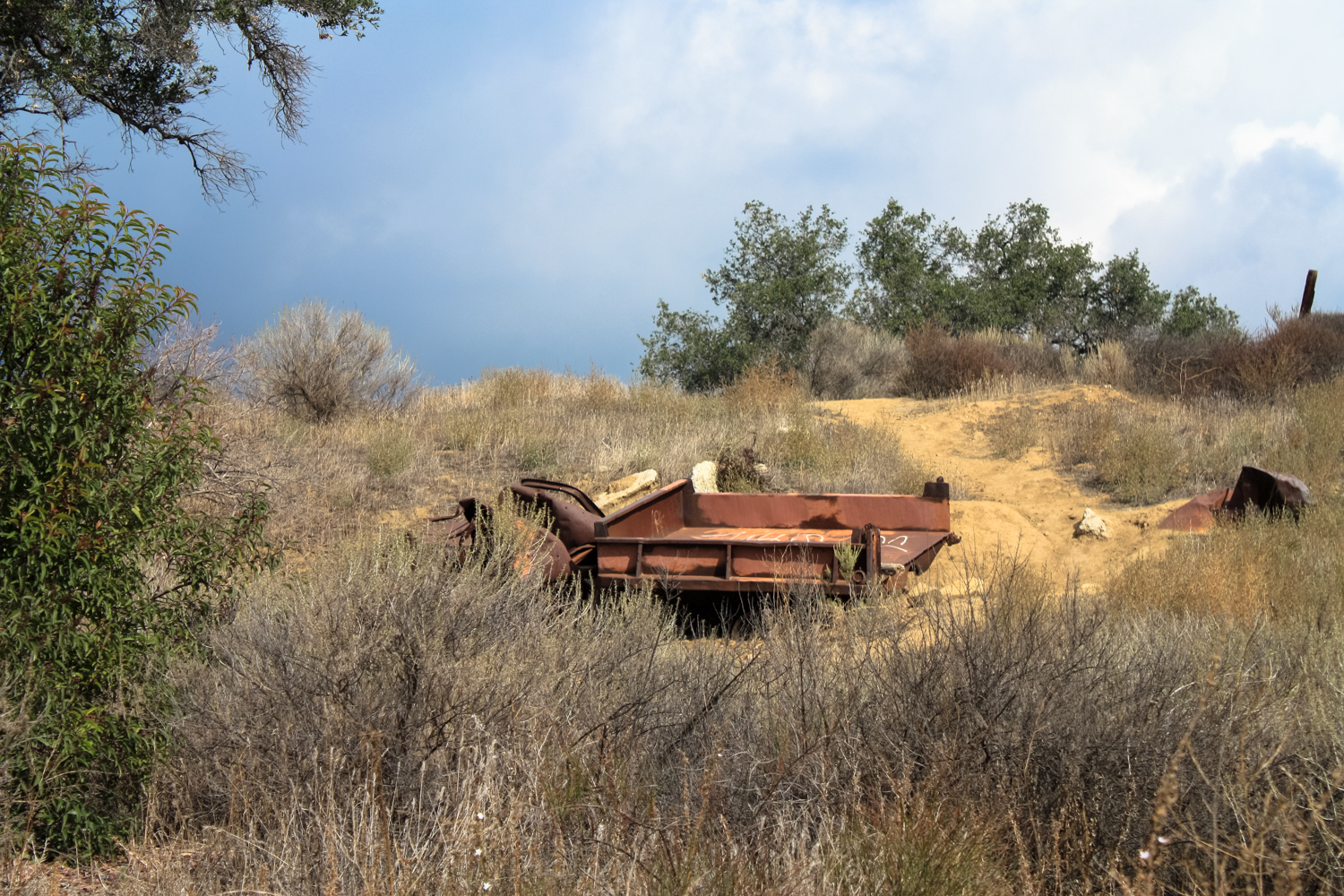
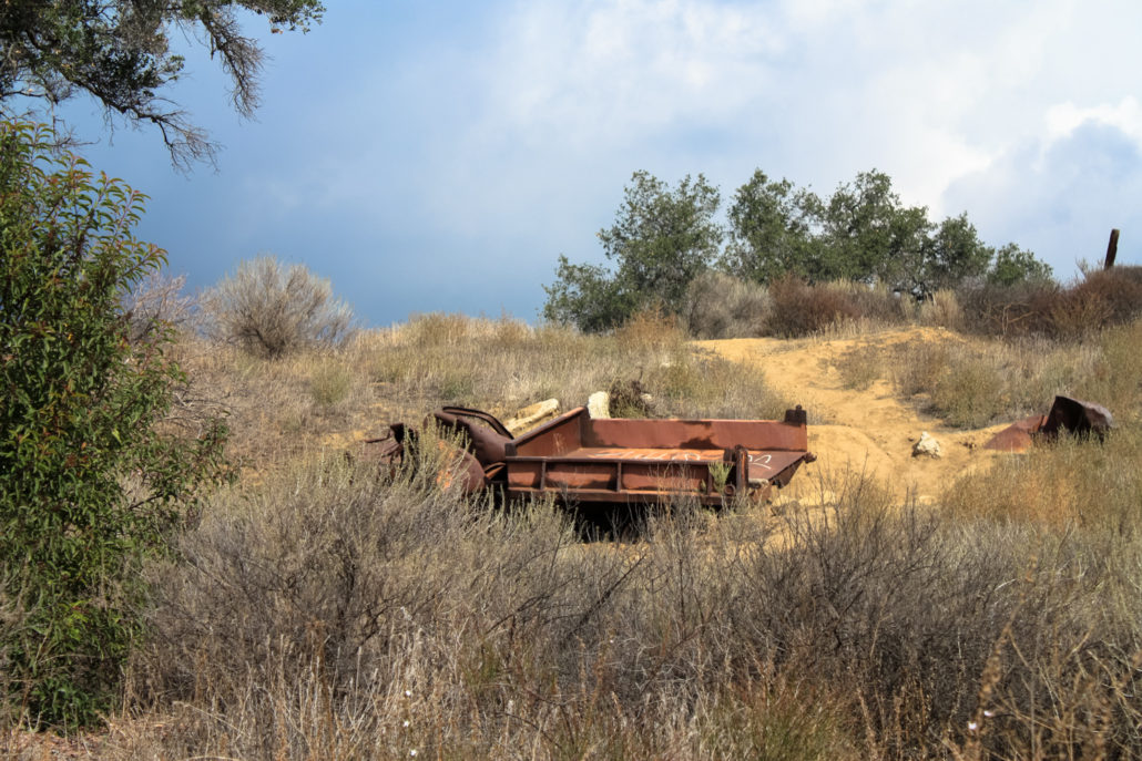
The Spahn Ranch burned down in 1970 and nothing remains from the Manson days, but as you hike near the northern portion of this lollipop loop section of the hike, you’ll be close to the Family’s old hideout.
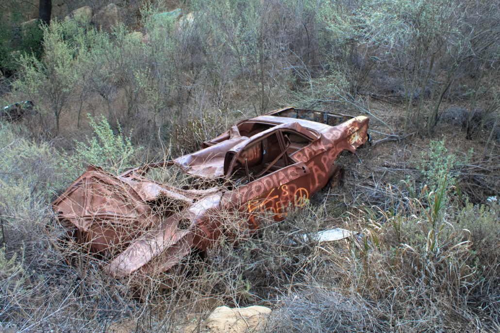
Non-native trees and rusted out cars may be the only things that survive at Spahn Ranch.
Steer clear of any charismatic maniacs and ignore the side-trails leading down and you’ll close the loop at 3.4 miles. From there, head back to the trailhead the way you came in and wrap up your day exploring the Santa Susana Pass.
Tags: charles manson, chatsworth, manson family, old santa susana stage road, old stagecoach road, santa susana pass, santa susana pass state historic park, spahn ranch