Los Angeles is known as the city of sprawl. Unlike Chicago or New York, which fit nicely within a grid-based system, LA’s borders are irregular and vast. Therefore, finding a place to get a good look at the entire city is near-impossible. However, on this hike, you will get pretty dang close. And while its spectacular views are its most obvious appeal, this 7.7-mile loop has a lot more to offer, including wildflowers (in the early parts of the year), a plethora of ecosystems, and the opportunity to hike along a section of the 67-mile Backbone Trail.
The trail starts at Will Rogers State Historic Park, which hardly feels wild, as you are met with grassy sports fields and hordes of people. However, an upside to this more urban scene is access to trashcans and restrooms with plumbing – the latter a rarity at more remote trailheads. Parking is also bountiful, with plenty of spots all around the park.
You will start your hike on the popular Inspiration Loop Trail. Shot on CineStill 400D film.
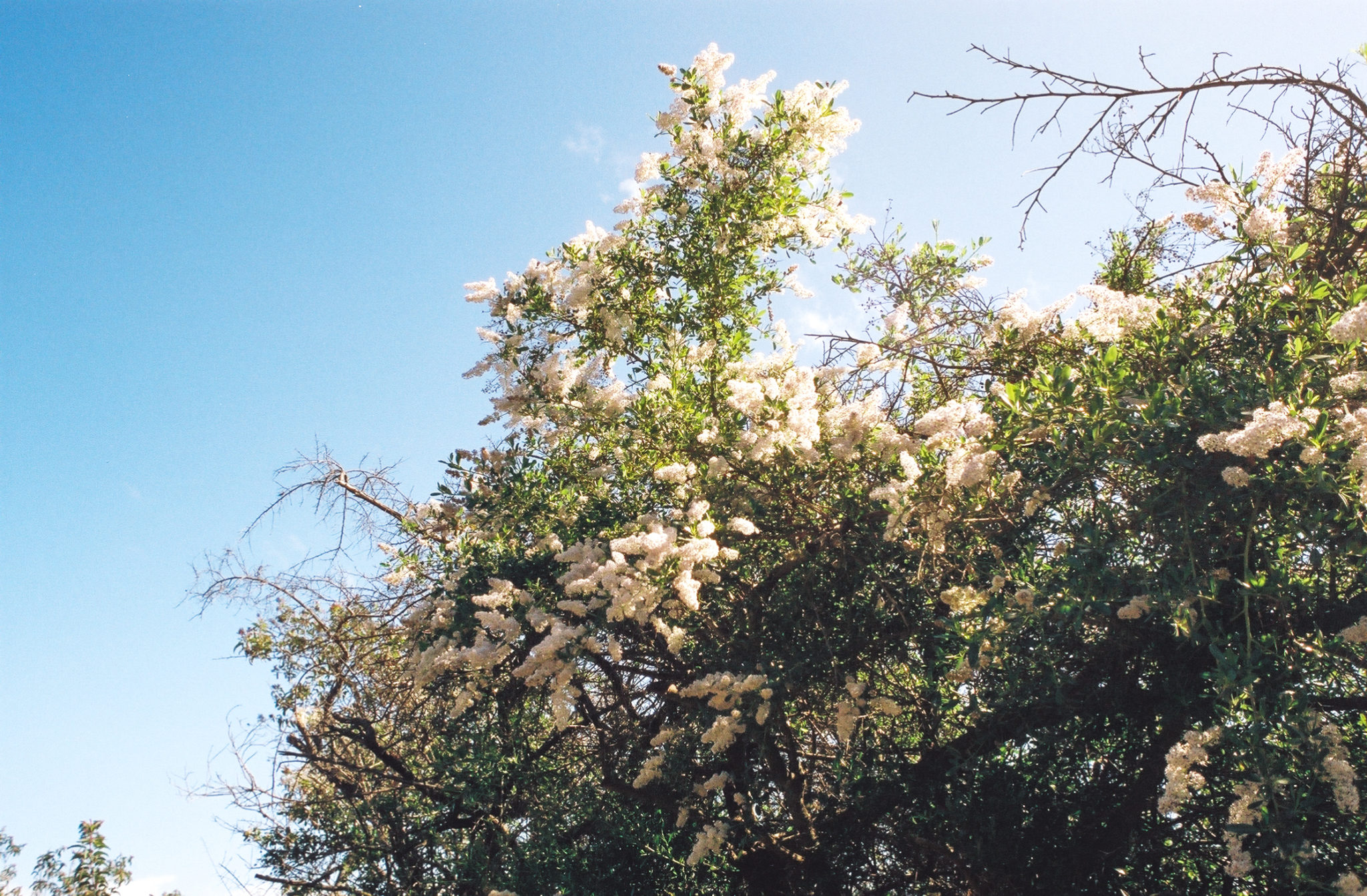
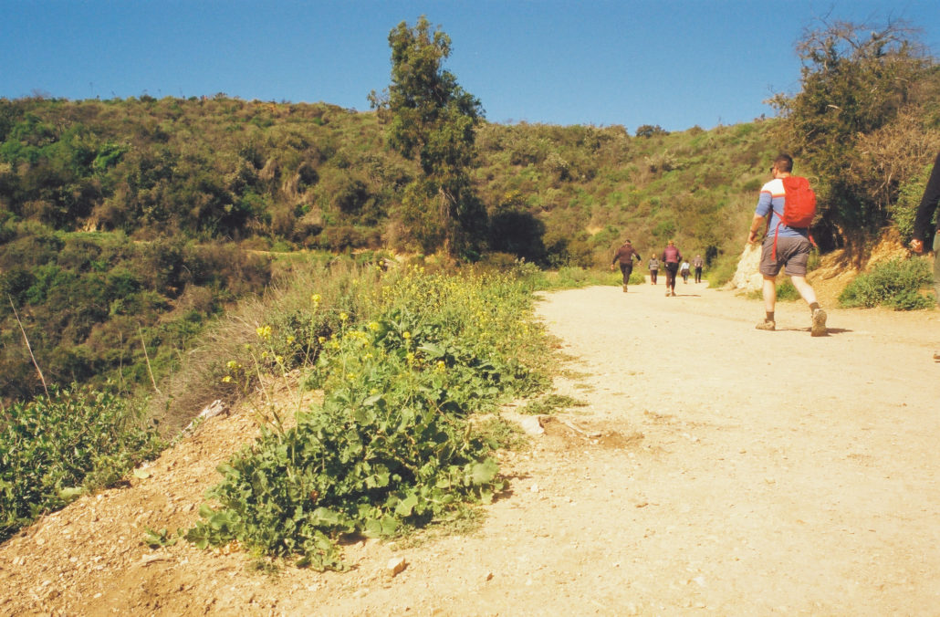
To start your trek, walk across a bridge just west of the visitor center and along two short switchbacks to join the Inspiration Point Trail. This section of the hike is crowded, especially on the weekends. However, as you continue along this large, multi-use trail, its easy-to-understand why – almost immediately, you’re greeted with stunning views of Los Angeles and the Pacific coastline. And as the trail gradually meanders uphill, the vistas continue to get more and more impressive. Don’t forget about the flora though, as equally as beautiful were the wildflowers that were blooming along our path in early February.
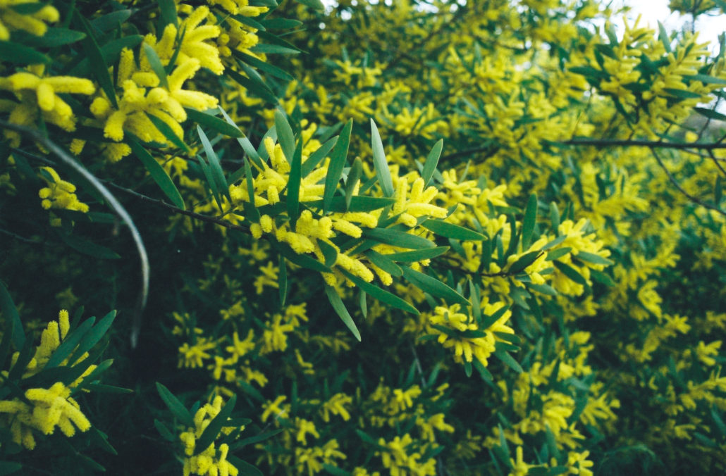
The Sydney Golden Wattle was blooming when we hikes this trail in February. Shot on CineStill 400D film.

Many different species of wildflowers were showing off on our hike. Shot on CineStill 400D film.
At 0.2 miles, there is a conveniently placed bench – one of several along this trail – for hikers to rest and take in their surroundings. Also along this section are several offshoot trails to your right. Continue straight to stay on the correct path.
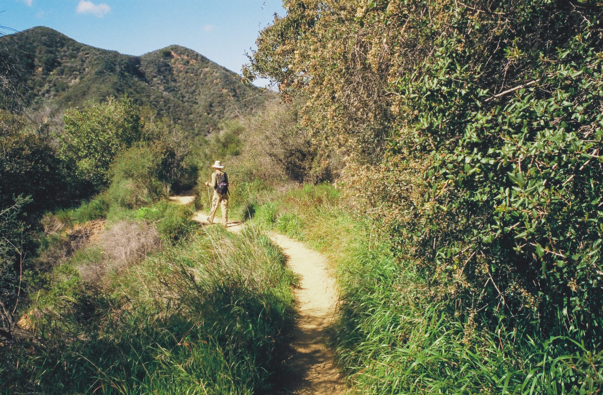
At 0.8 miles head left and begin climbing along the Backbone Trail. Here, your hiking experience begins to change, as the trail turns to single-track and the crowds die down considerably. In terms of foliage, one of my more knowledgeable hiking partners identified various sages, Laurel Sumac, California Lilac (Ceanothus), and Lemonade Berry.
You’ll continue to ascend along a ridgeline as you go deeper into the Santa Monica Mountains. At 1.8 miles, you’ll cross a bridge and approach a short segment of trail that is mangled and rocky – luckily there are handrails to help you up and a lookout at the end as a reward for your efforts.
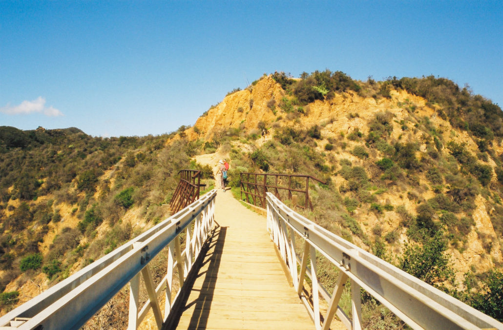
This bridge was a fun treat on our hike. Shot on CineStill 400D film.
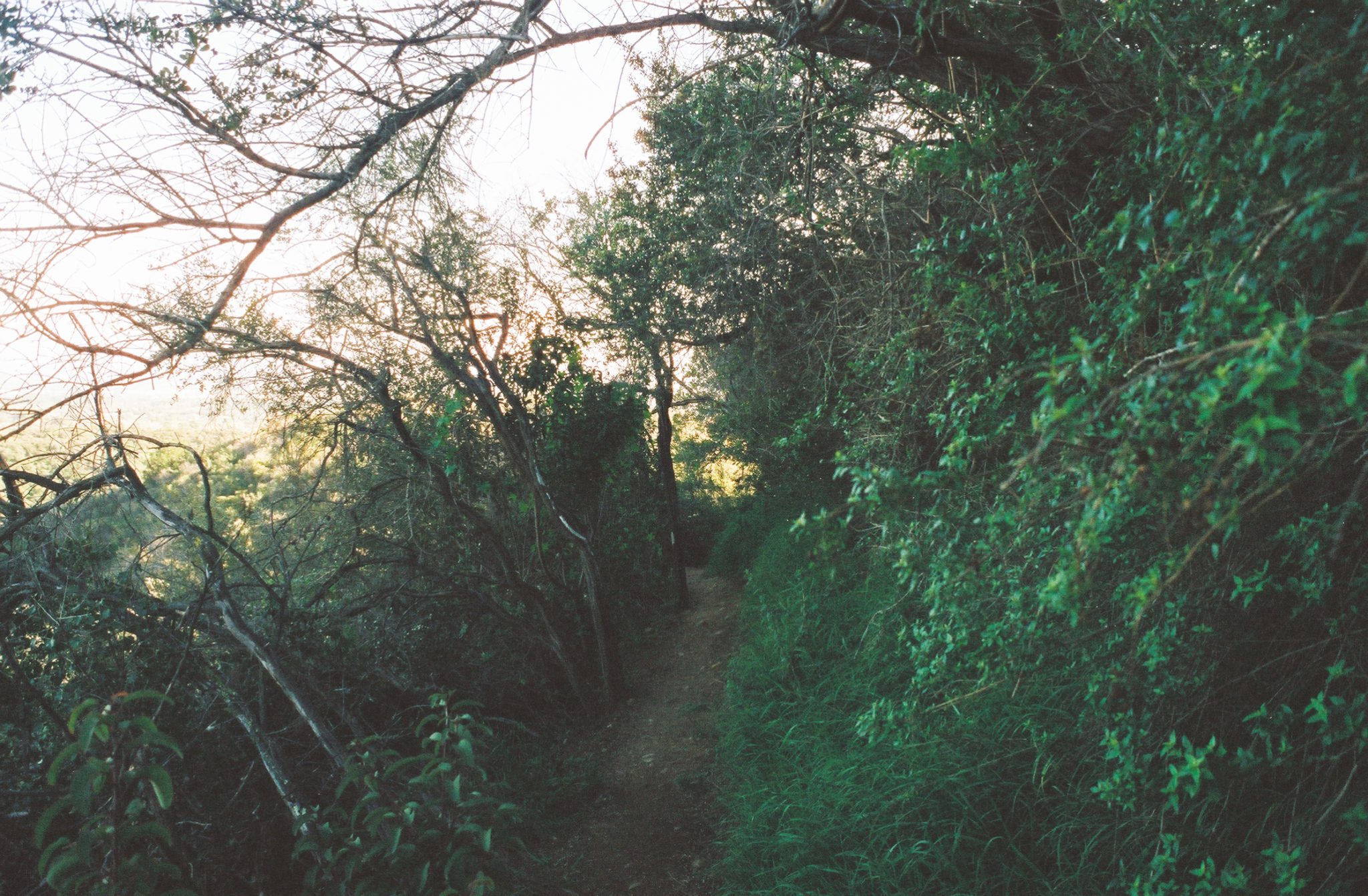
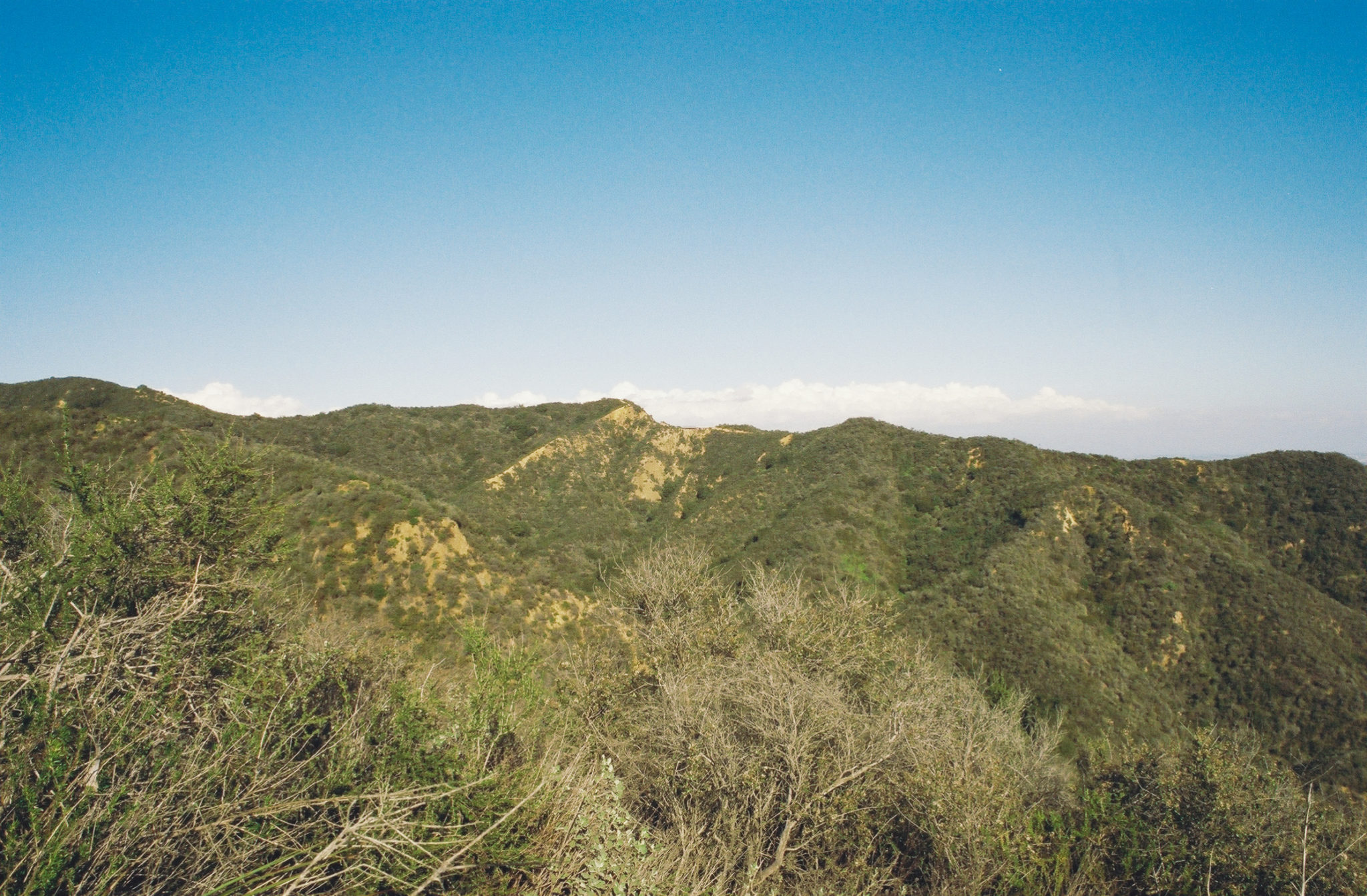
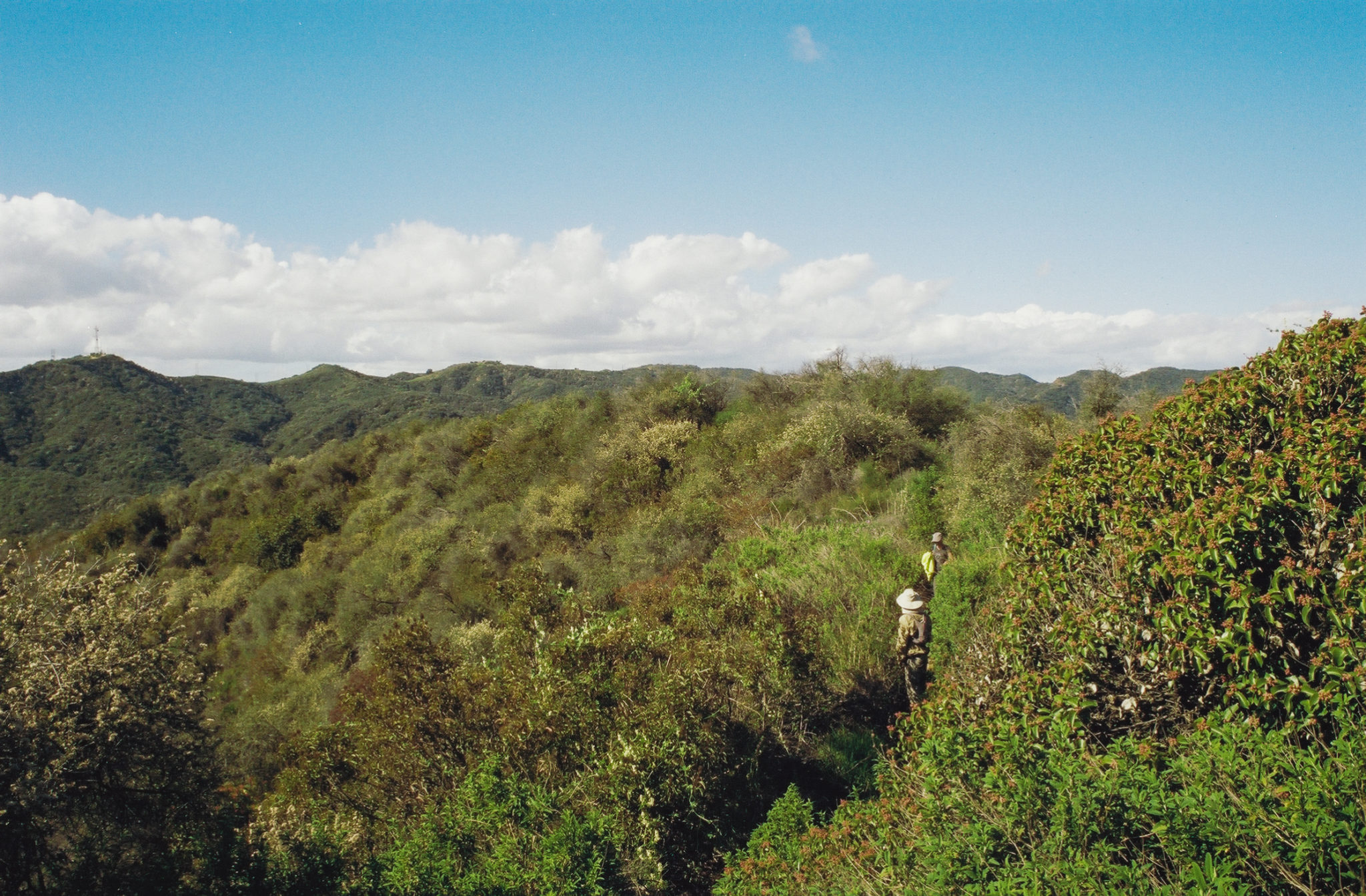
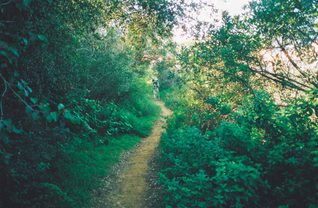
This next section leaves the ridgeline and instead gently guides you uphill along the mountainside. Gradually, you will notice your environment become wilder, with the ocean views disappearing as more greenery envelops the trail. It actually makes for a dreamy experience – the overgrown grass and ferns gently pet your legs while the trees overhead provide shade from the harsh UV rays (don’t forget to check for ticks every once in a while!). At 3.3 miles you’ll reach a viewpoint and are granted your first look at the interior Santa Monica Mountains.

As you leave the ridgeline, the ecosystem becomes more full of plant life. Shot on CineStill 400D film.
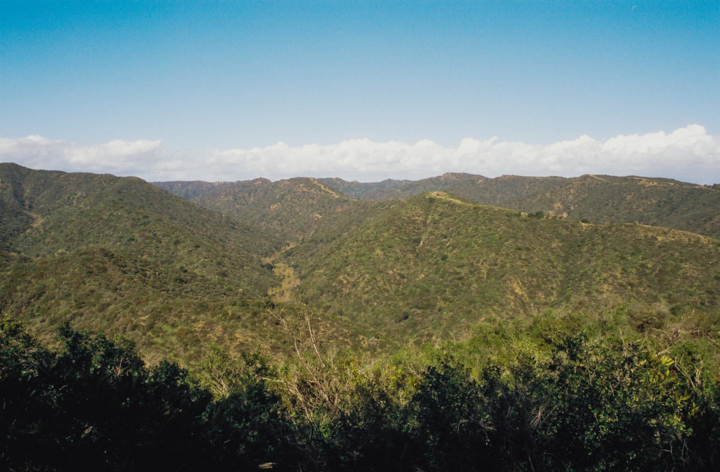
The interior Santa Monica Mountains. Shot on CineStill 400D film.
The next 0.4 miles of this hike route you along the north face of this mountain range. Traditionally, this side of northern hemisphere peaks is the coldest due to a lack of sunlight (and is how this popular outdoor brand got its name). This trek was no exception, as the air was noticeably wetter and colder than before. The microclimate on the north slopes lends itself well to an abundance of plants that surround you as you hike, including poison oak, so be careful.
This section along the north side of the mountains is easily the greenest. Shot on CineStill 400D film.
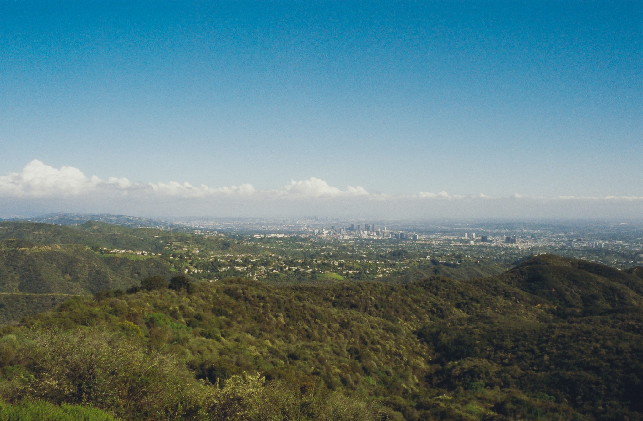
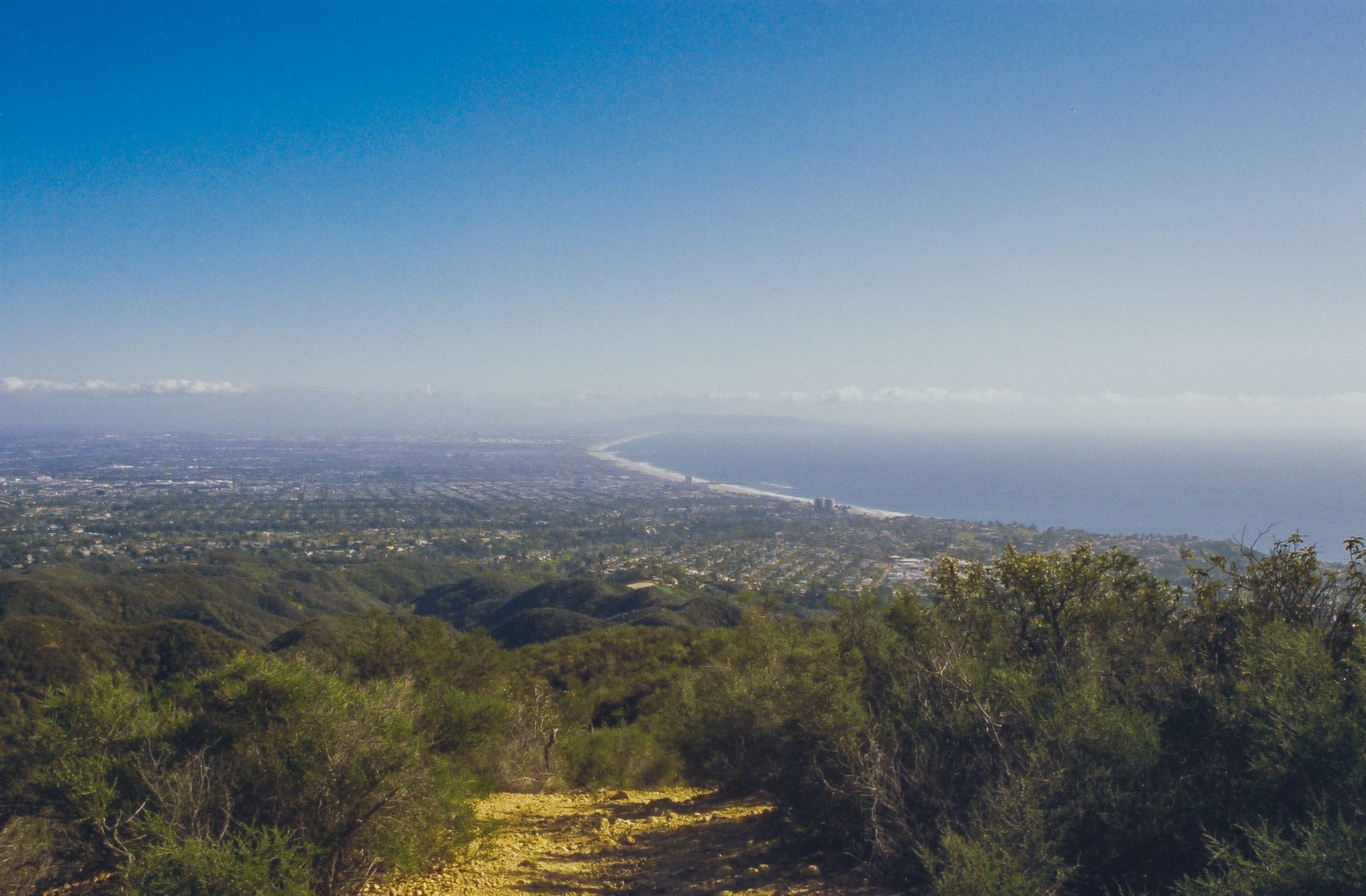
At 3.7 miles, you will make a sharp left and begin hiking on the High Point Trail. Your well-maintained and shallowly graded single-track path is immediately replaced with a steep and very overgrown route to an unnamed peak. Luckily you only have to climb 0.2 miles to reach the 1,755-foot summit. Rest here and admire unrivaled views of Southern California – from Santa Monica to the South Bay and Catalina Island to Downtown LA. Of all the hiking I’ve done in the LA area (a lot), this view is one of the best I’ve seen.
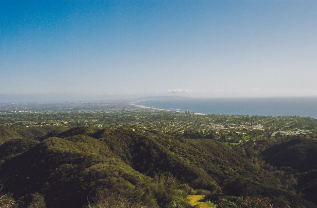
Views all the way to the Palos Verdes Peninsula. Shot on CineStill 400D film.
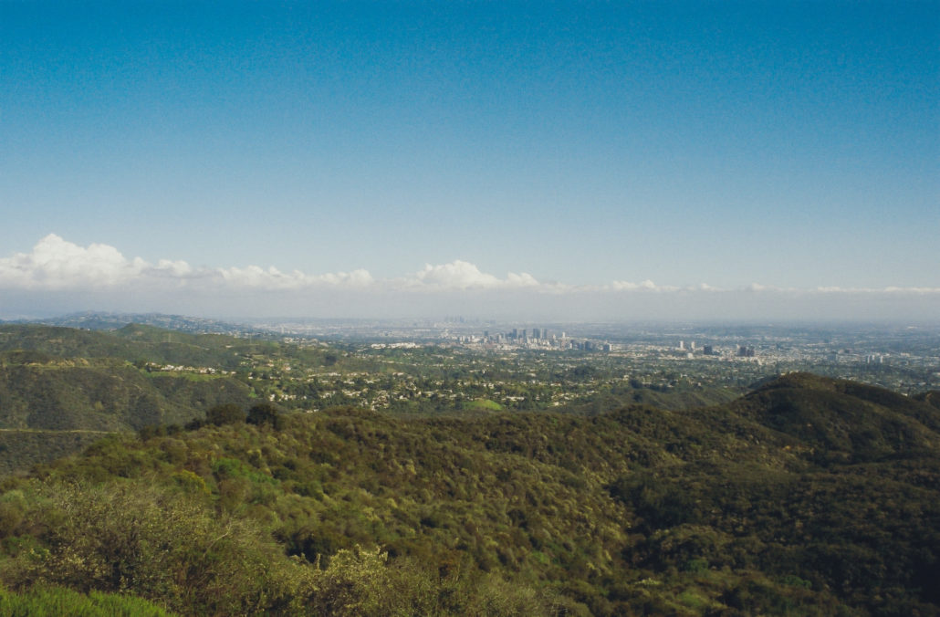
Downtown LA was visible for most of our hike along the High Point Trail. Shot on CineStill 400D film.
Once you’re recharged and ready to go, you will head south along the ridgeline for the next 1.7 miles. Note that there are several offshoot paths. Stay to the right to continue hiking on the correct path. This segment of the trail also contains sections that require scrambling and others that force you to navigate through dense foliage. It’s not all treacherous, though. Hiking through this exposed area gives you near-constant gorgeous views of the world below.
At 5.5 miles you’ll head left and leave the ridgeline. Then, at 6 miles once again take a left and onto the Rivas Canyon Trail to find your first and only significant section of switchbacks. 0.5 miles later, you’ll hit a straightaway. Once again, the ecosystem changes as eucalyptus trees now dominate your hike. Also, you’ll soon notice a seasonal stream running below you to your left and a wall separating you from private residences to your right.

The environment along the mountainside is considerably lusher than on the ridgeline.
At mile 7.2 you will cross the stream and into a concrete lot. Rejoin the trail on the other side.
As this hike winds to a close, enjoy the grassy field that you will float through before returning to the bridge that kicked off your trek.
Tags: Backbone Trail, Los Angeles, pacific palisades, Topanga State Park, views, water crossing, wildflowers, will rogers state park