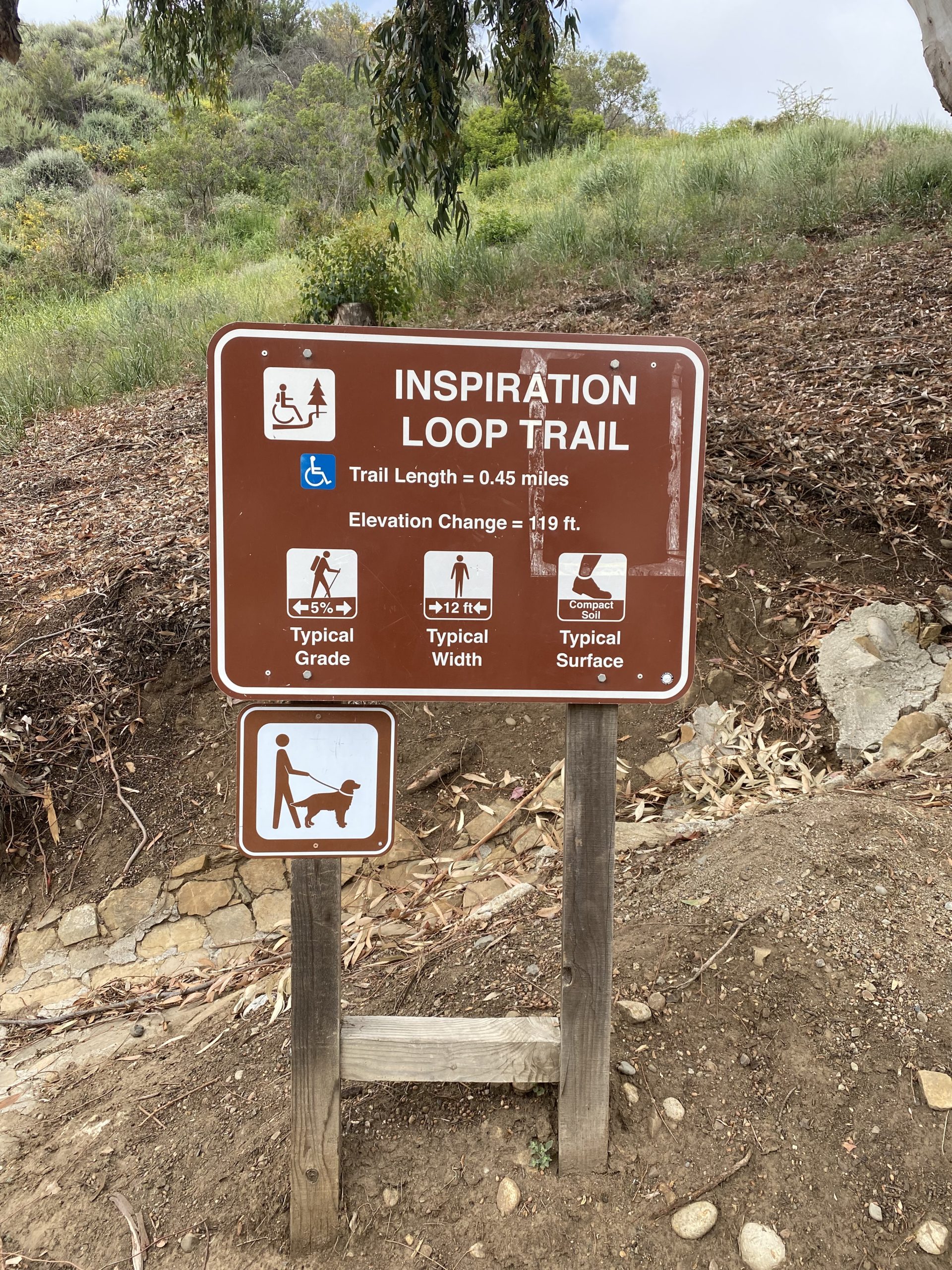
Will Rogers State Park is a historic staple, with the park encompassing the famous actor and humorist‘s nearly 100-year-old ranch. The ranch has been a historic state park since 1945, and has numerous hiking trails at the base of the Santa Monica Mountains, picnic spots, a polo field, horse stables, and more. This hike is specifically focused on the beginner-friendly Inspiration Loop trail.
Beautiful mountain views and plentiful spring wildflowers make this hike a fun and easy outing. Just be sure to wear lots of sunscreen, as the trail is mostly unshaded and can get quite hot as the day goes on. In the morning, however, the breeze coming from the Pacific Ocean makes a wonderful, cool addition to a short adventure that can be done year round. Plus, you’ll have plenty of human and canine company, too.
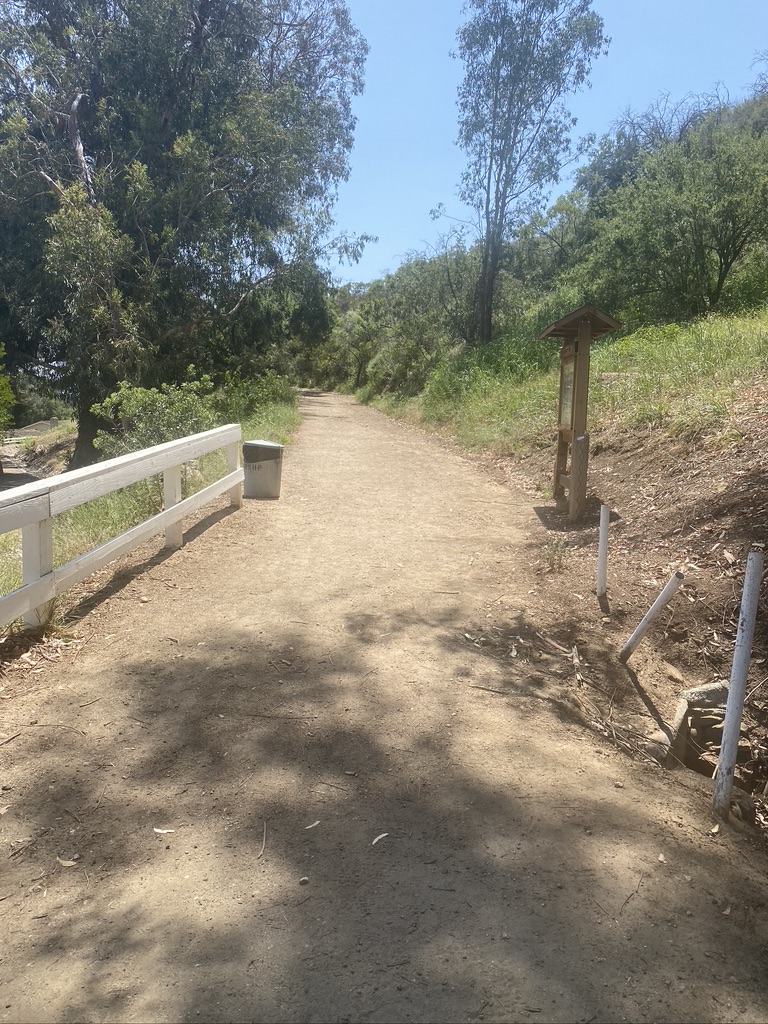
Turn north on to Will Rogers State Park Road from Sunset Boulevard, and take that road up to the parking lot. You’ll have to pay here, either $3 per hour of $12 for the whole day. Parking is usually plentiful with a few lots to chose from. Once you’ve parked, head toward the paved path, with the polo field on your right and the sprawling lawn on your left. This is a great place to picnic before or after your hike, and there’s a plethora of picnic benches further on.
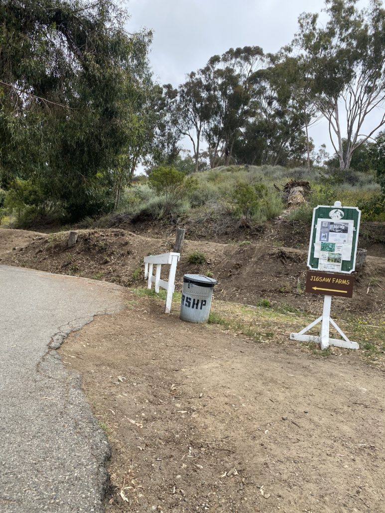
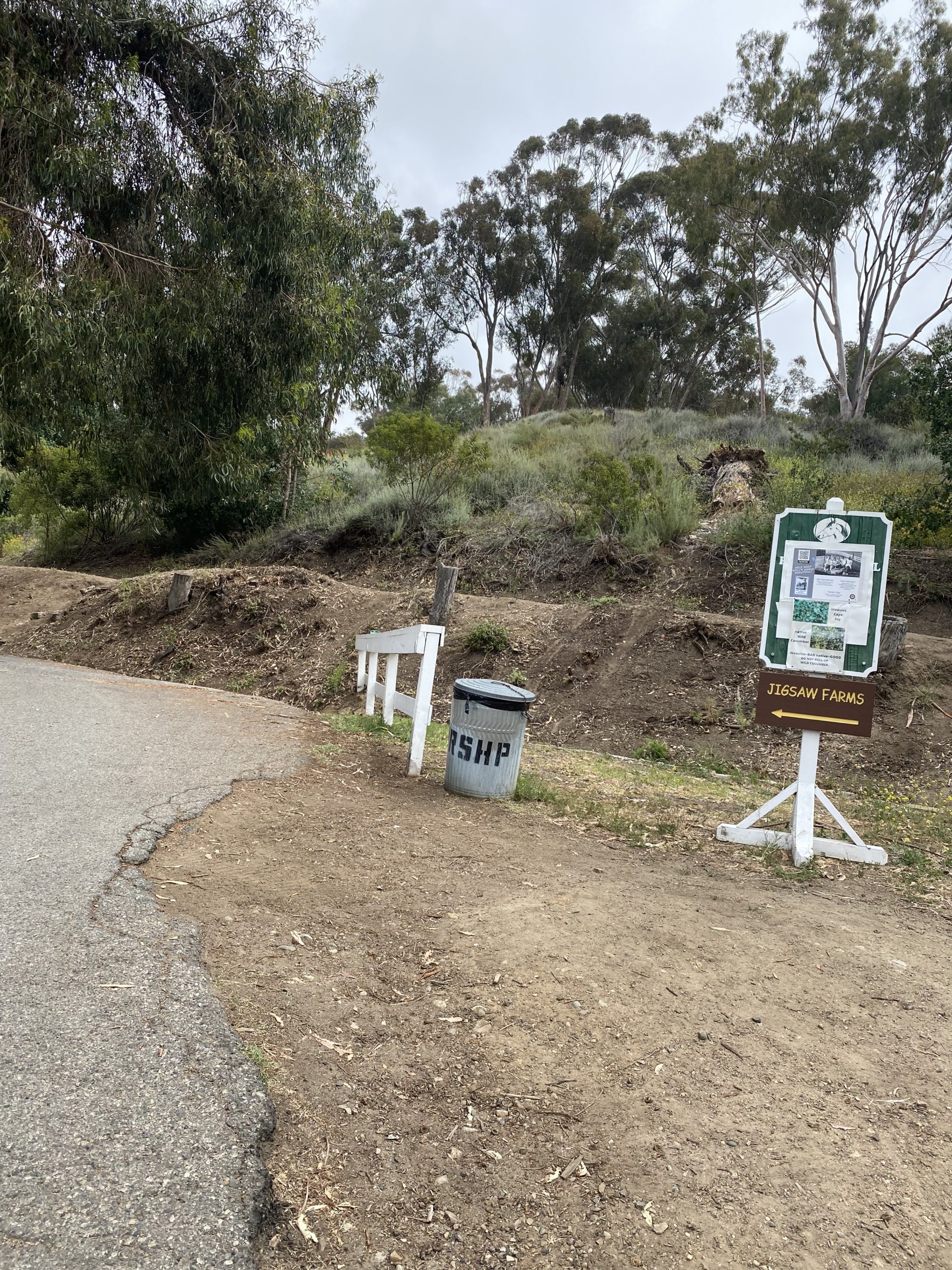
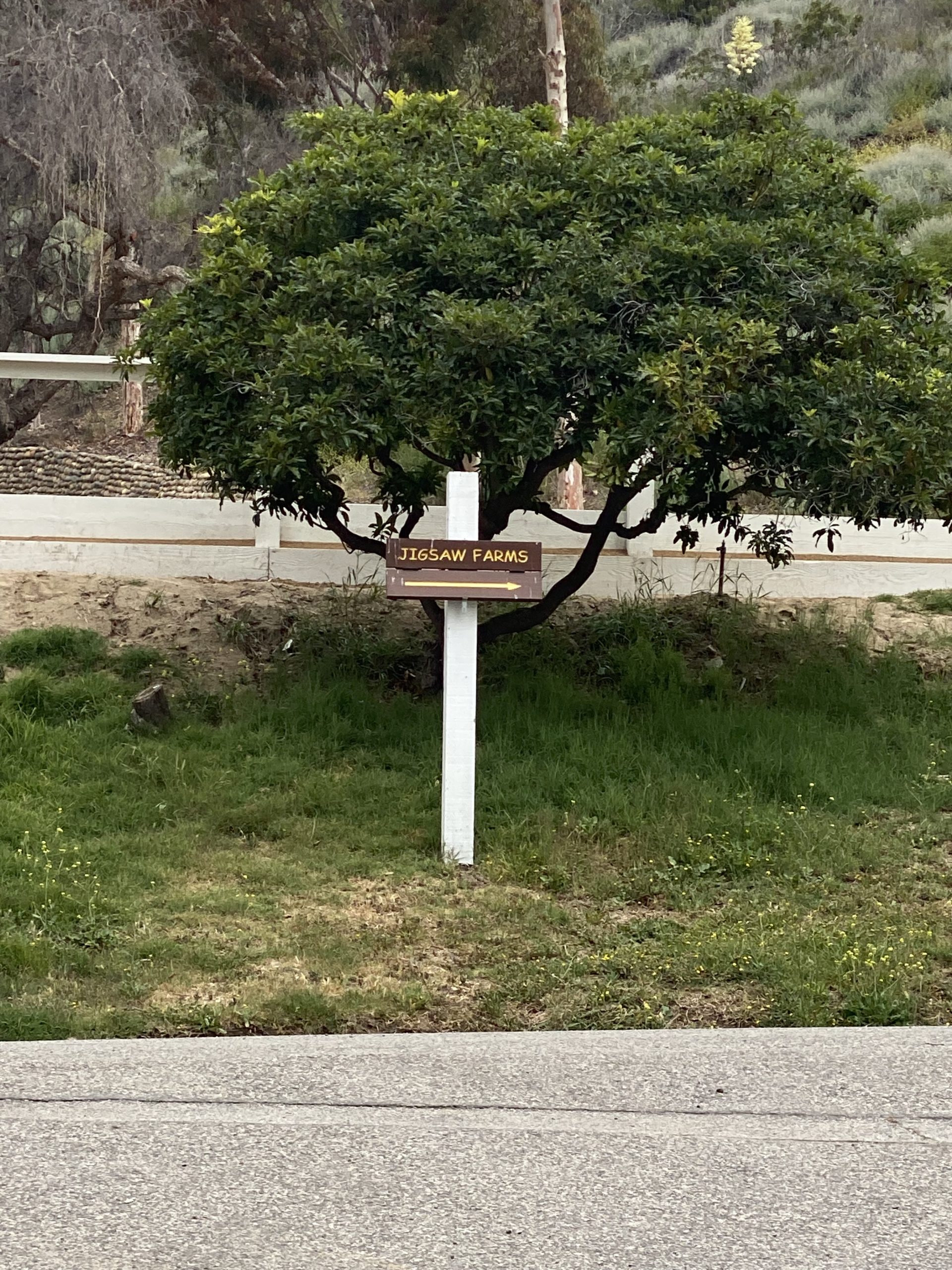
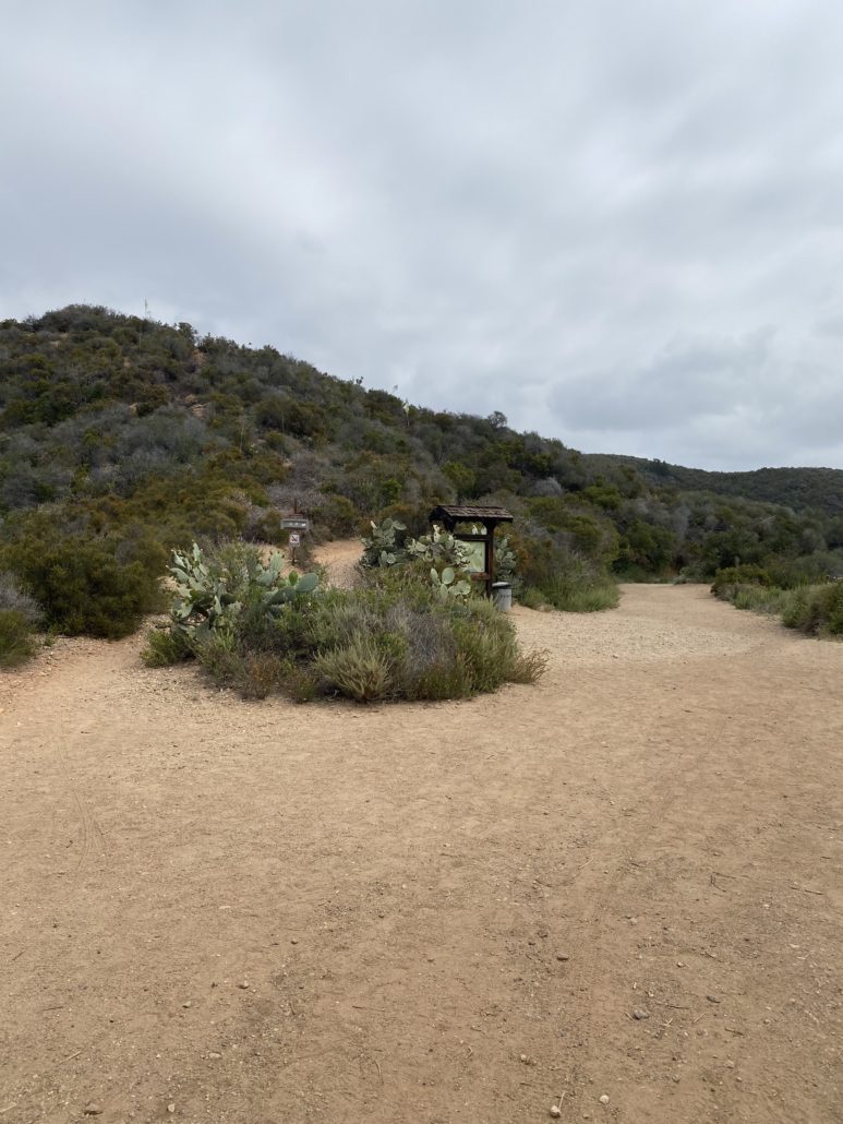
You’ll reach a sign directing you to “Jigsaw Farms.” Follow that sign up the paved path, and at the end of the path you are going to keep left. This will lead you to the trailhead. Dogs are welcome as long as they are leashed.

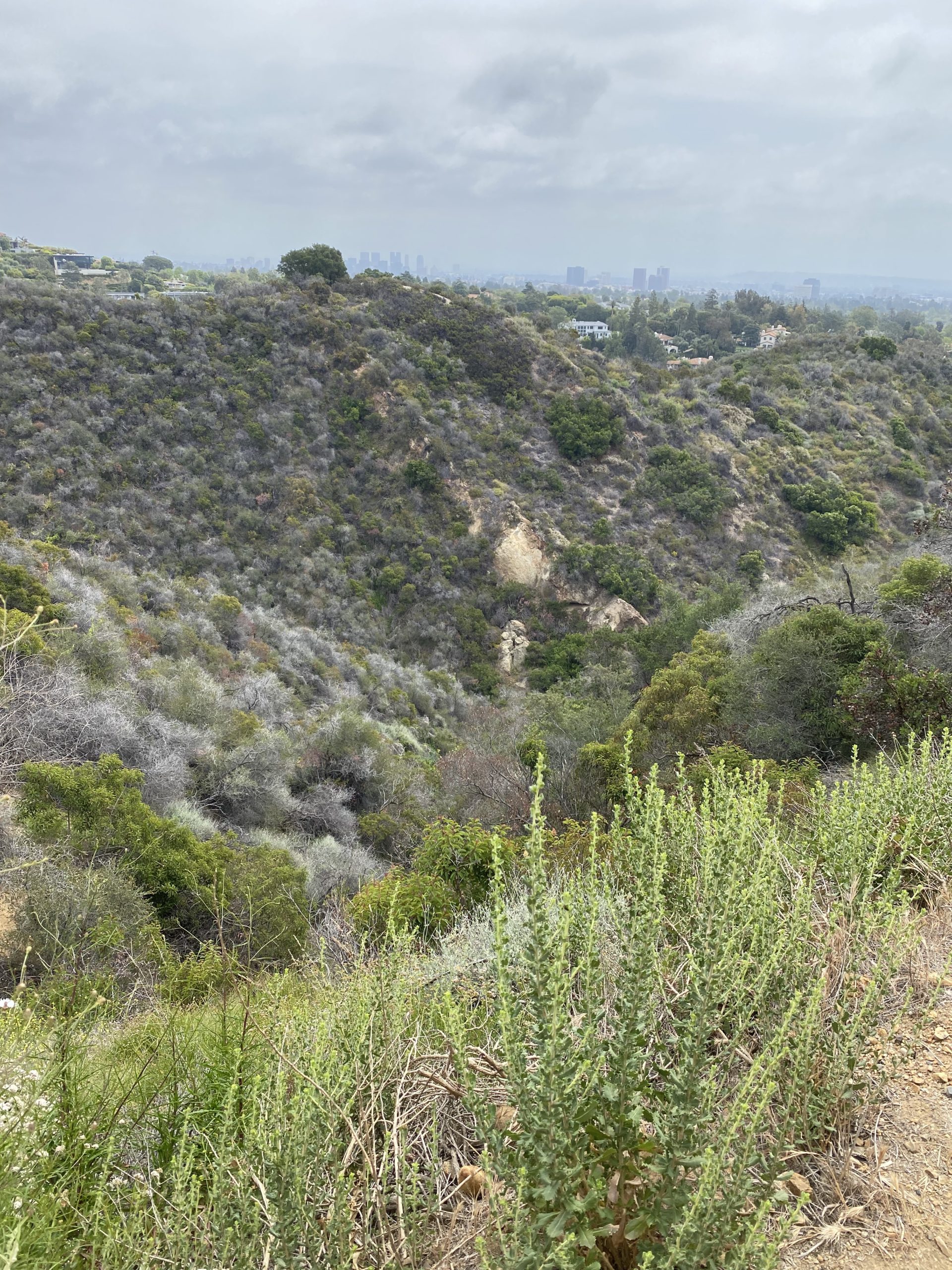
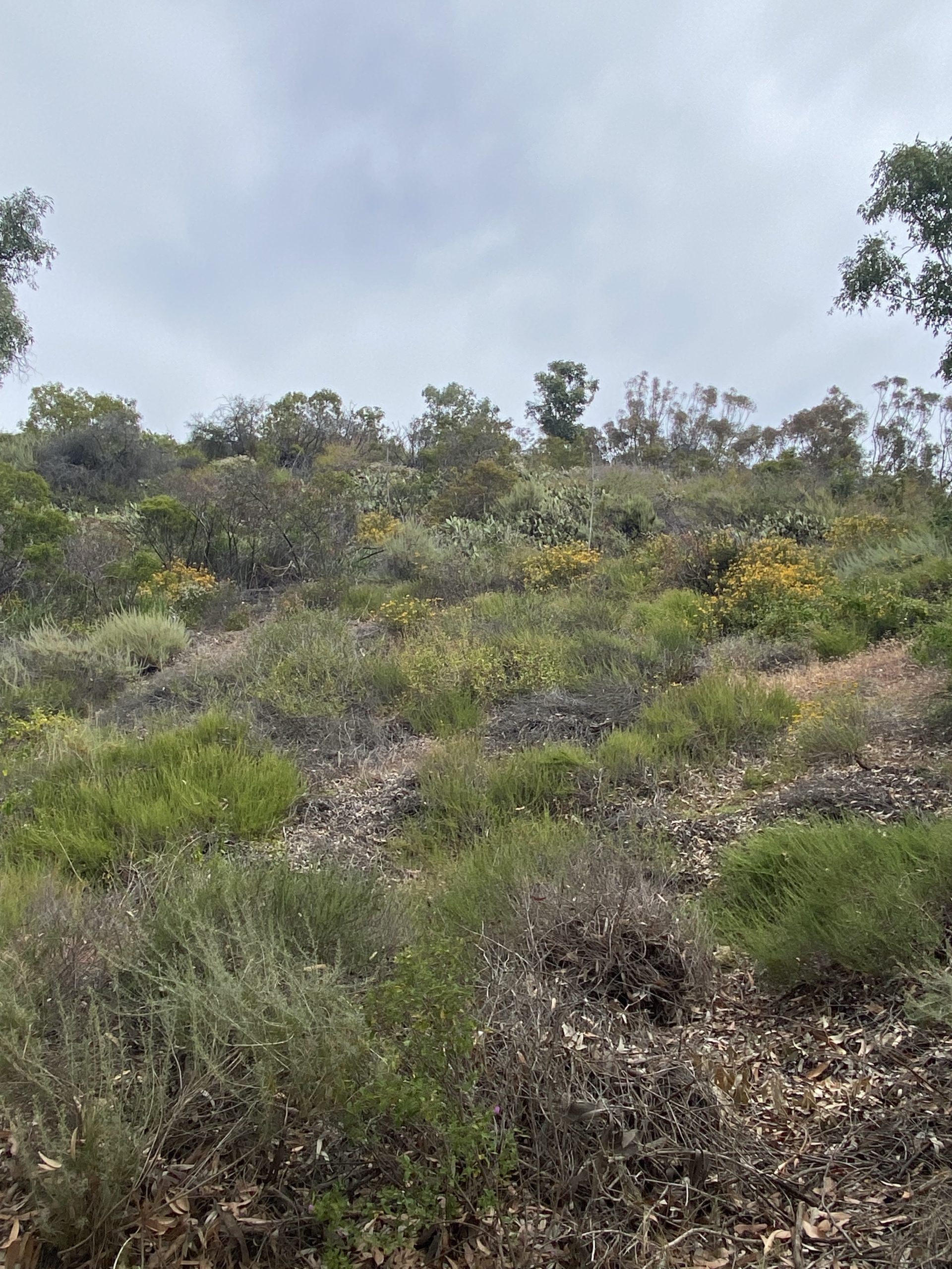
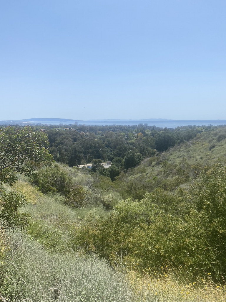
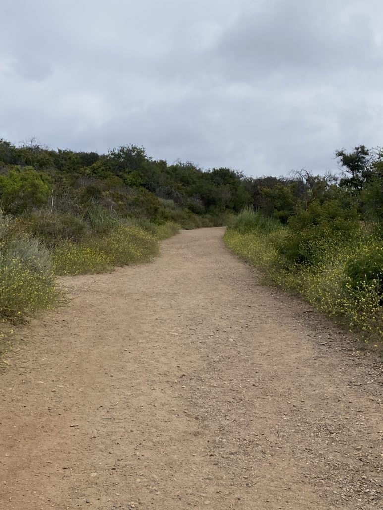
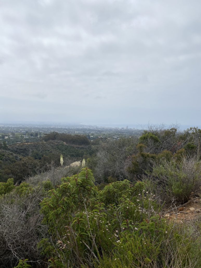
The hike starts and continues on a dirt road, and you quickly get stunning views of Los Angeles, the ocean, and mountains. The elevation continues at a steady pace throughout the hike, up to Inspiration Point. There are also plenty of benches along the entire hike to rest and take in the views, and many garbage cans as well, leaving the path free of trash. In the spring, you’ll have lush, colorful wildflowers flanking you on either side for the entire hike.
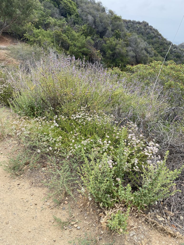
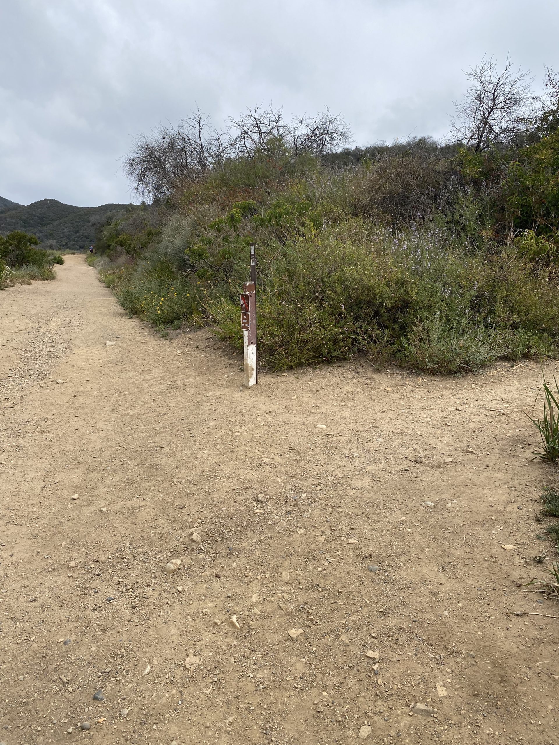
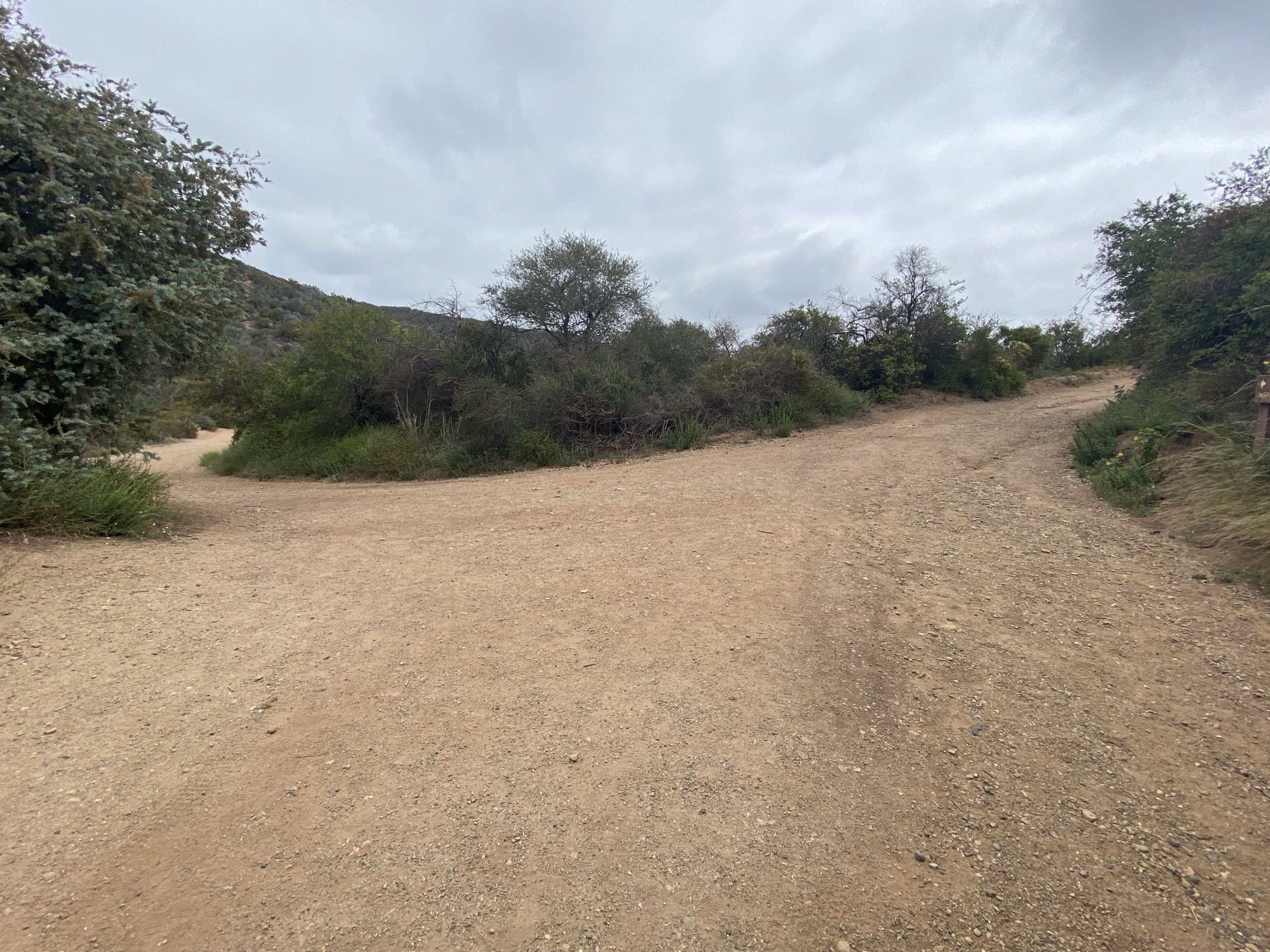
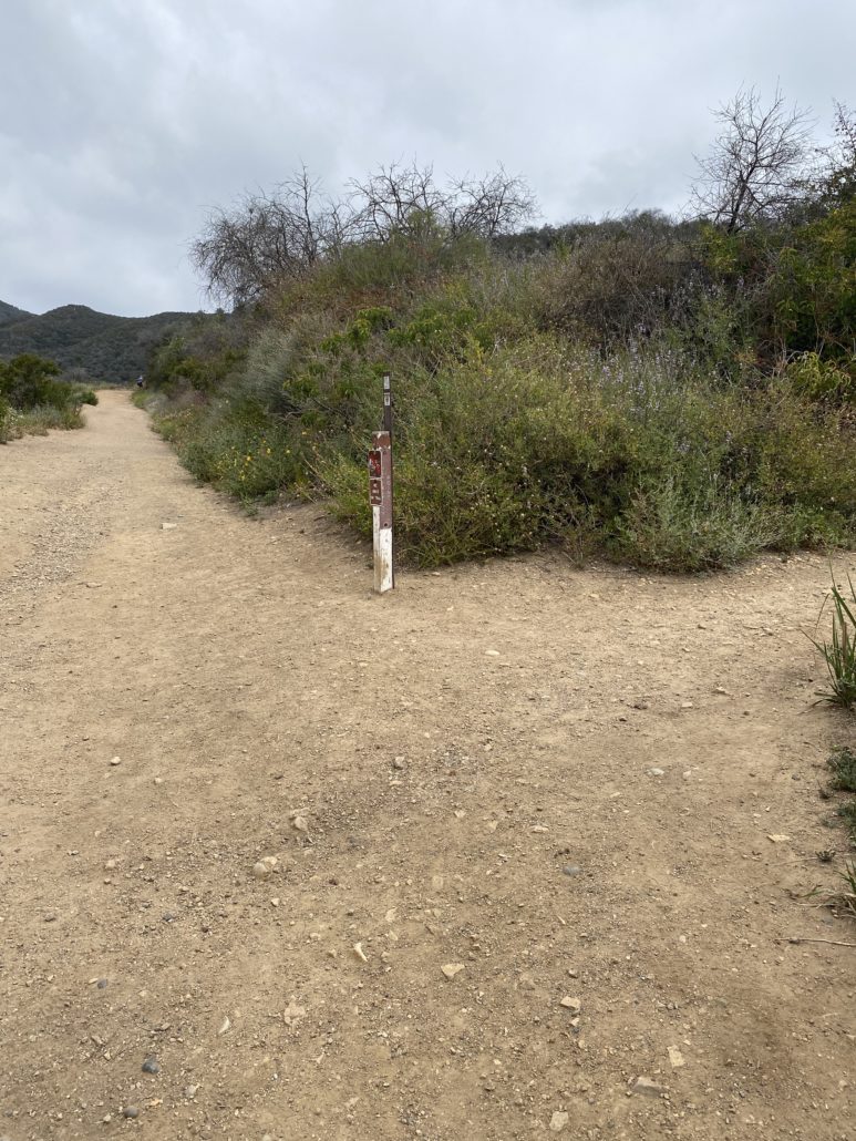
At the first fork you encounter, keep to your right to continue on the Inspiration Loop trail. From here, you’ll be able to see a great view of the polo field at Will Rogers State Park, as well as lush wildflower bushes and green rolling hills.
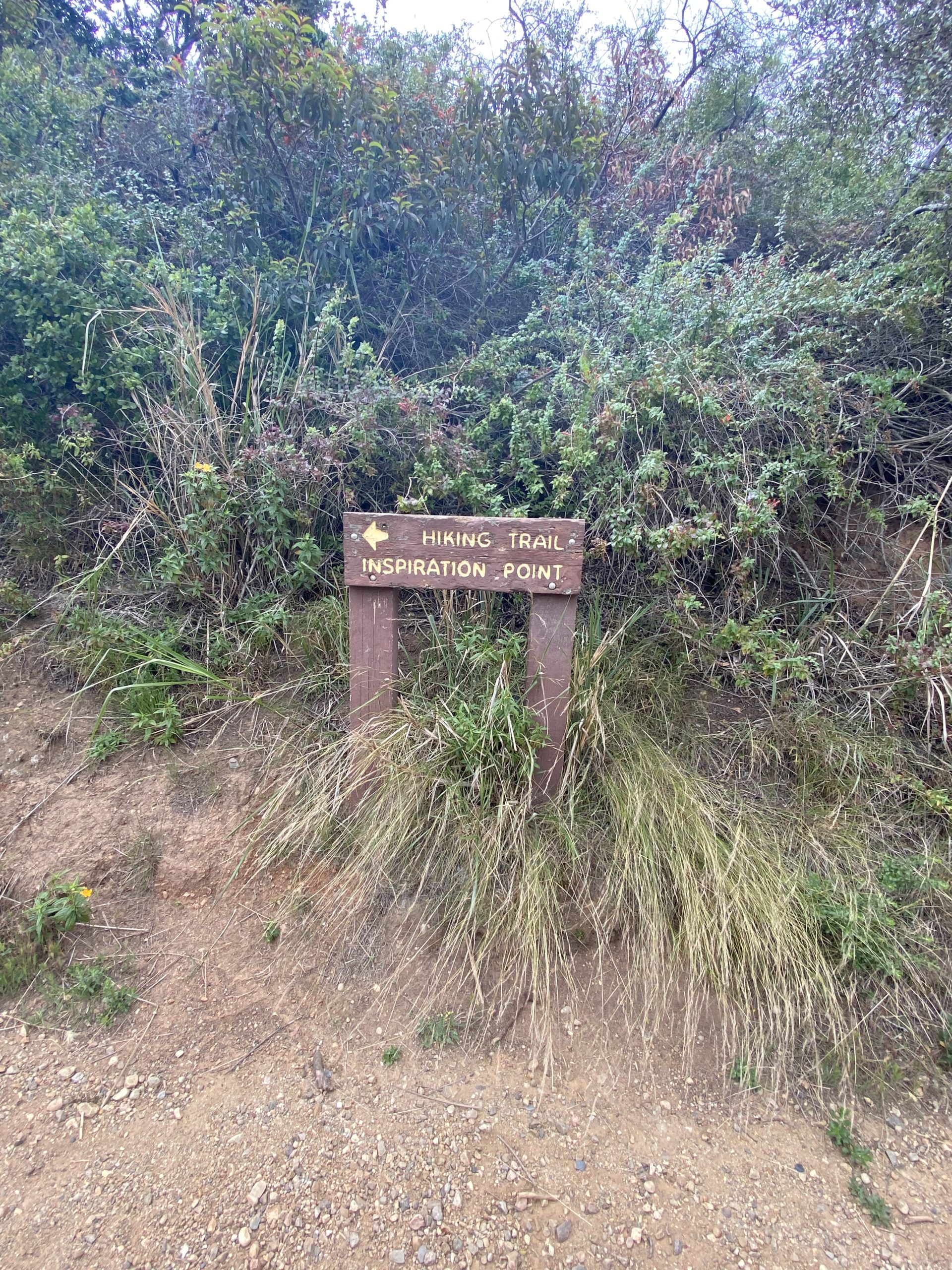
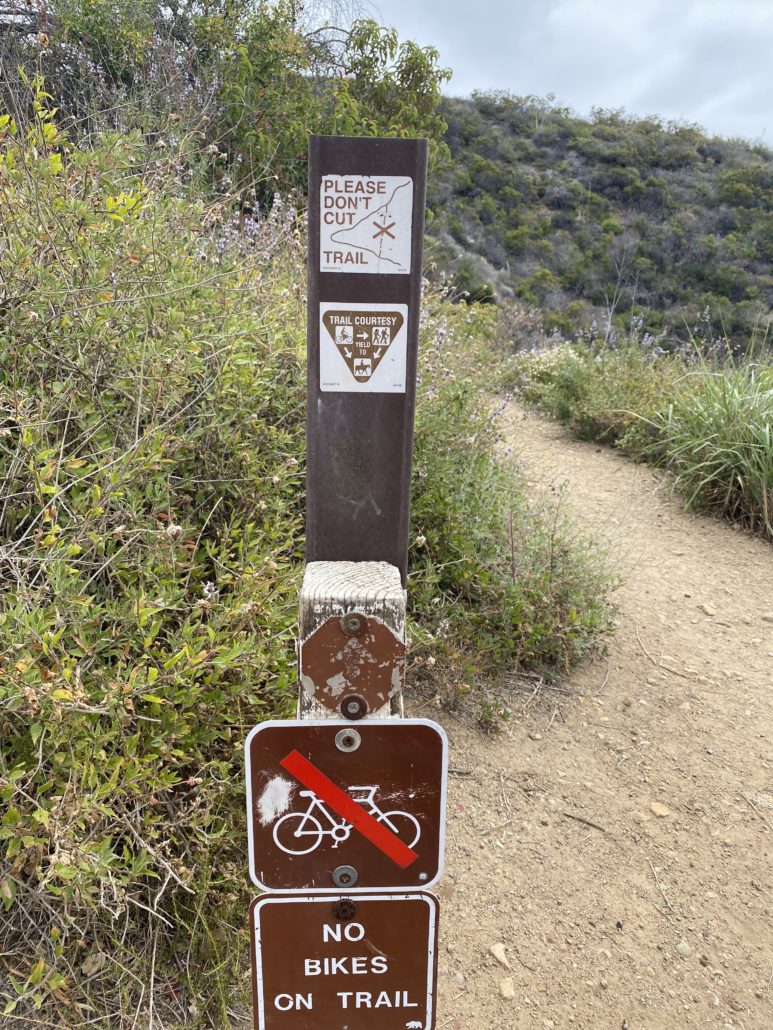
This path will take you to another fork, where you’ll encounter the sign post for Inspiration Point. Continue straight — as of April 2022, the sign post warns against turning right and cutting the trail on the unofficial user trail. At this point, bikes are no longer allowed.
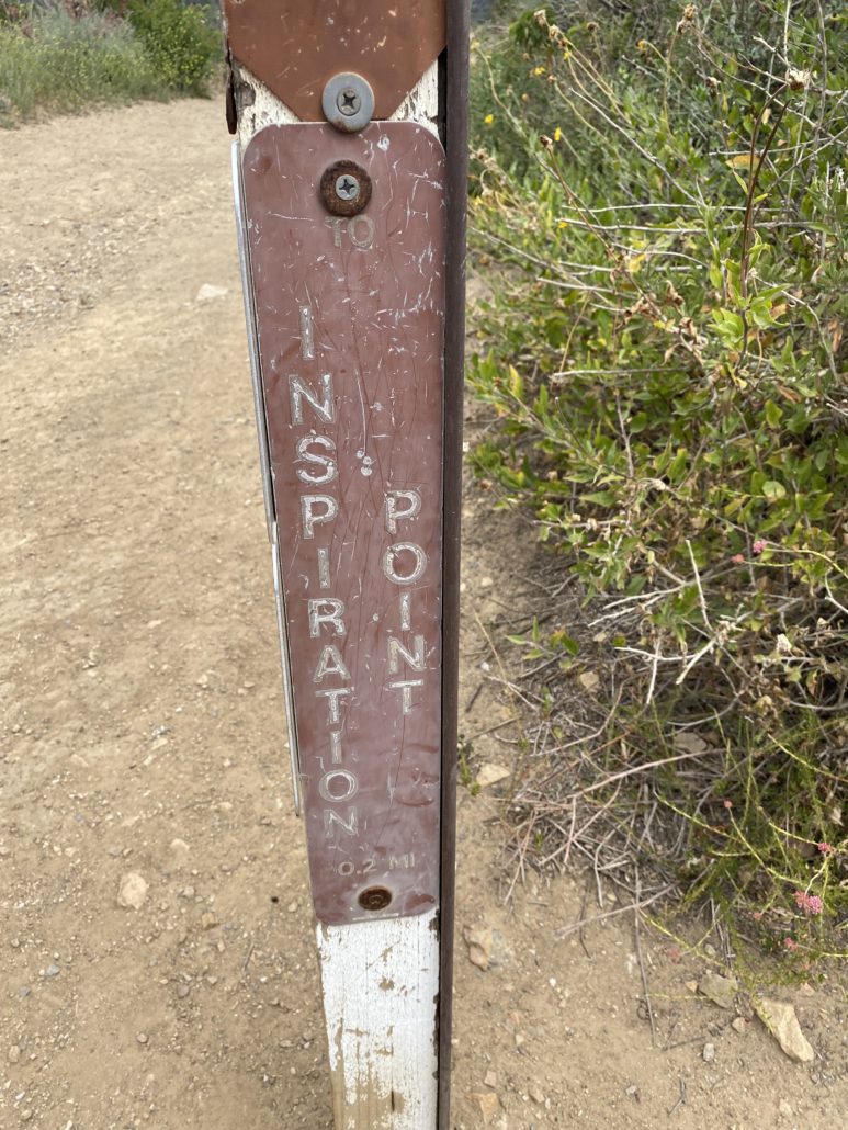
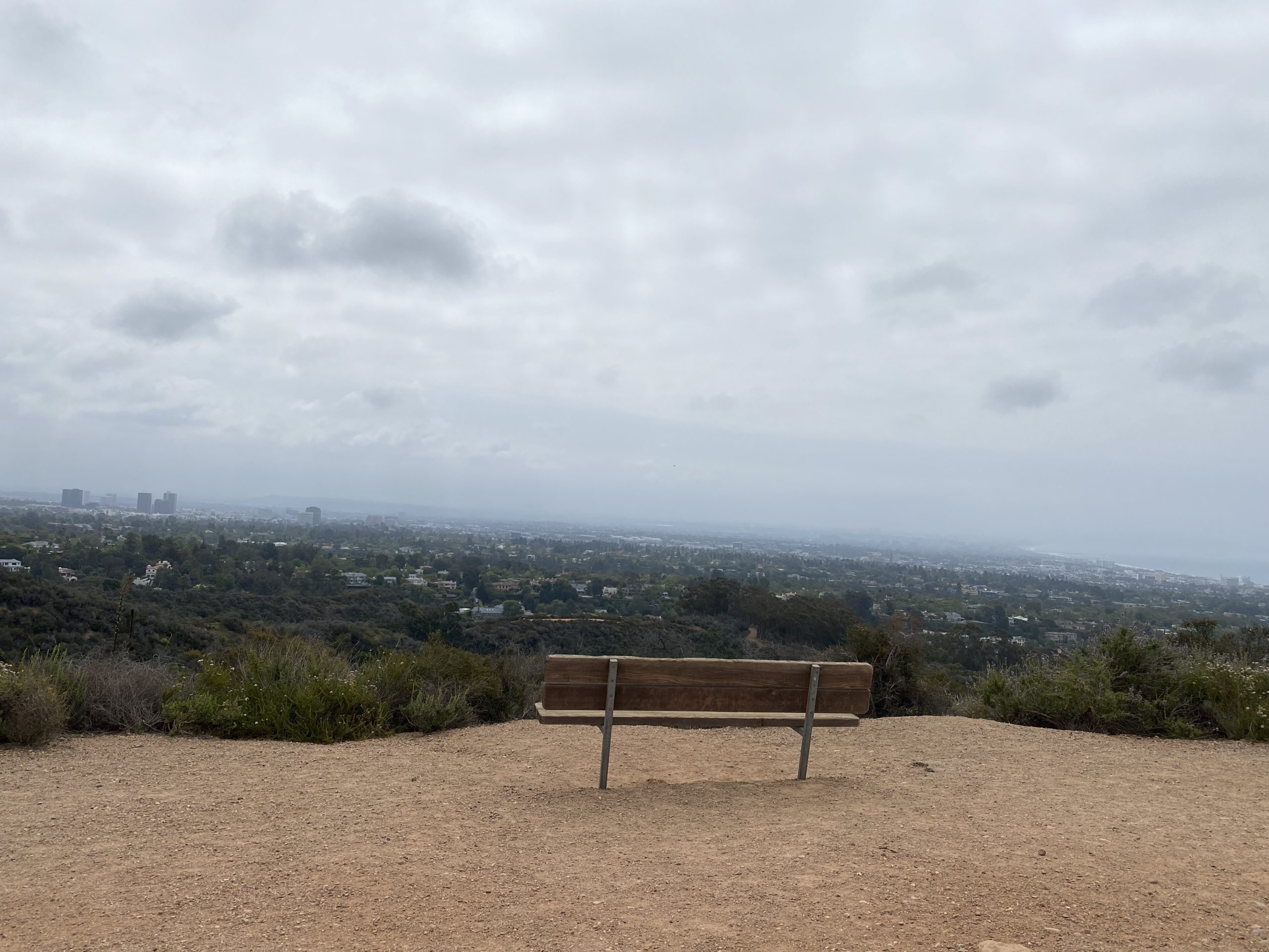
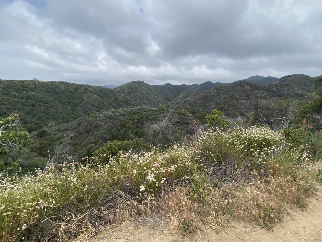
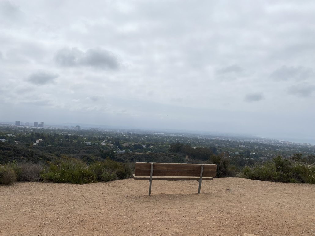
You’ll come to another fork (there are a few forks on this trail, but most are clearly marked), where you’ll keep right and follow the sign for Inspiration Point. Here’s where you reach the pinnacle of the hike, a gorgeous promontory with sprawling views of the city and the ocean. Take some time to rest on the benches and take in the views of Will Rogers State Park and the Los Angeles Basin before heading back.
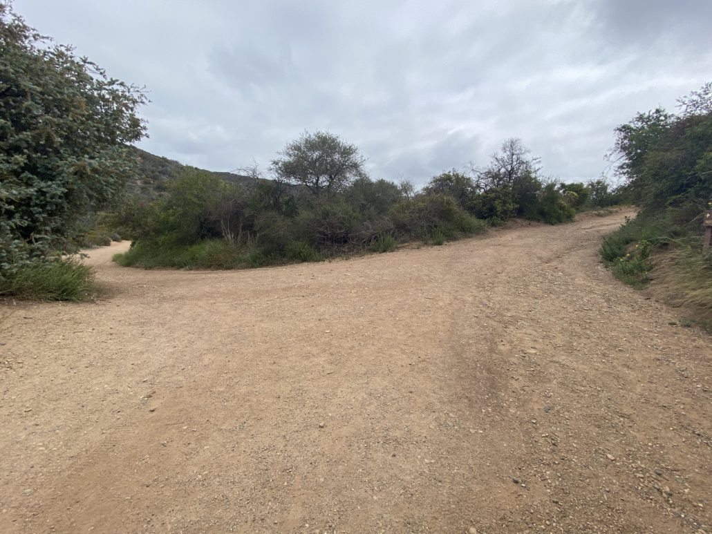

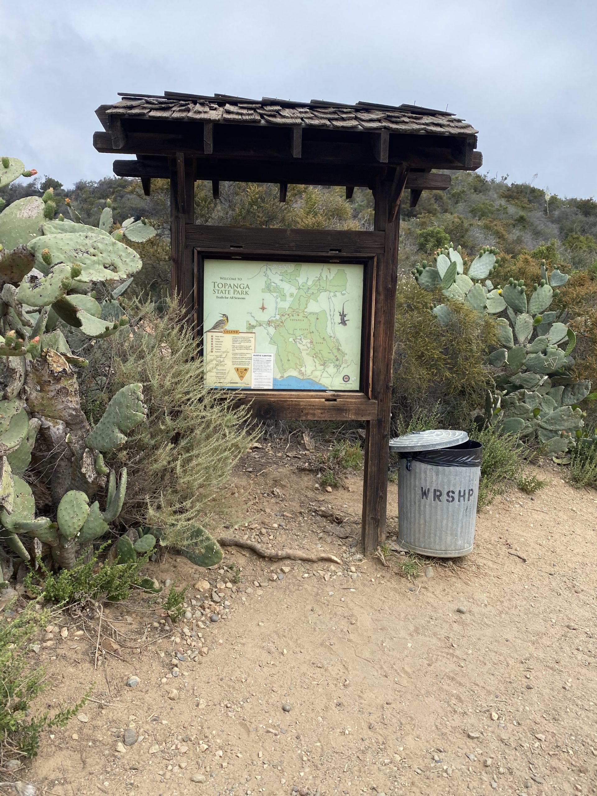
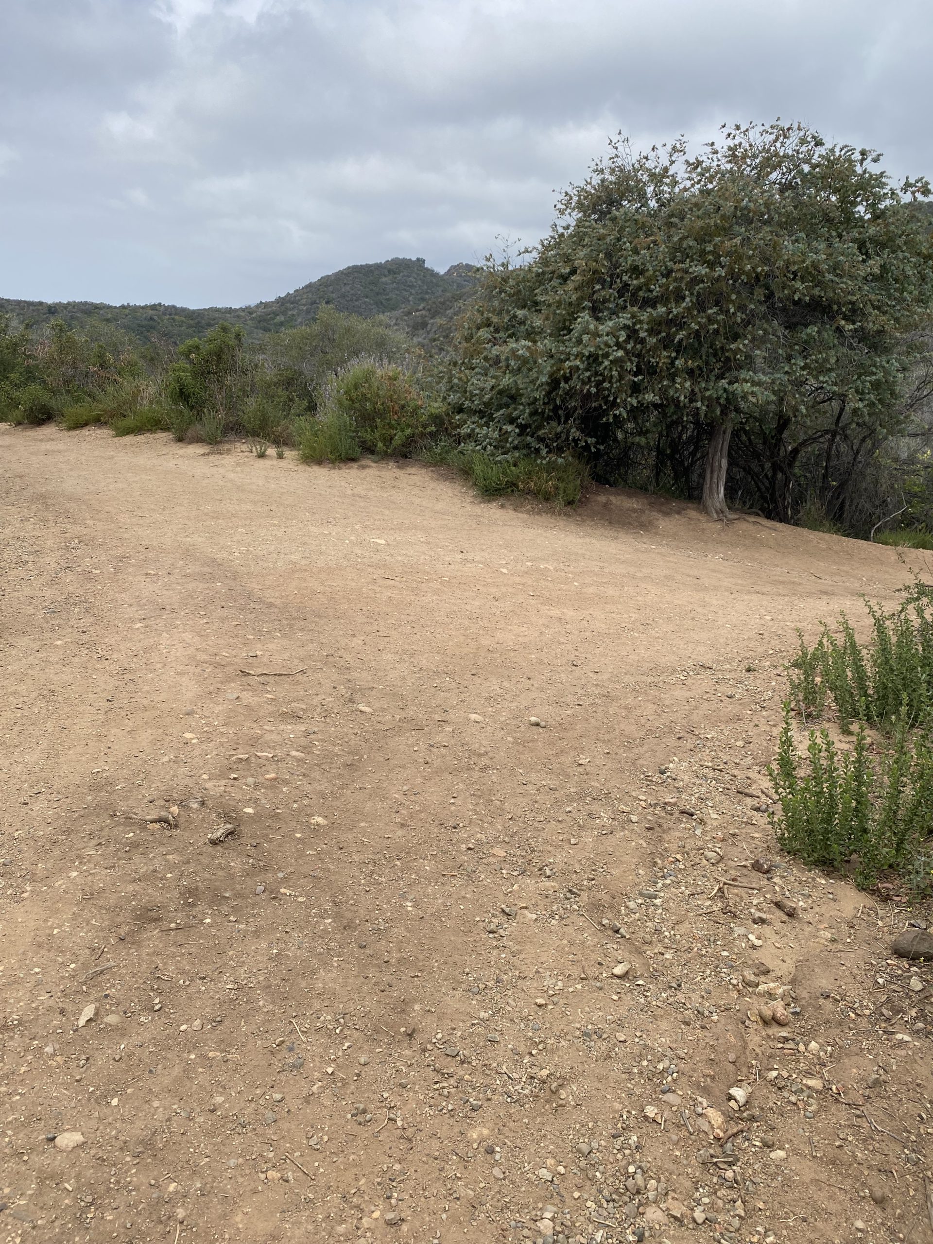
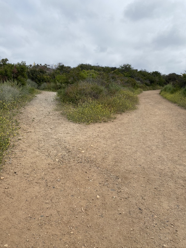
At this point you have two options — go back the way you came, or continue on the loop. We chose to keep going on the loop trail to experience the full trail. In order to get back to the trail, head back down the way you came to the fork in the road by the Inspiration Point sign. This time, turn right at the fork, and continue on the trail. You’ll come to a clearing with three different paths as well as a map and some trash cans. Continue straight.
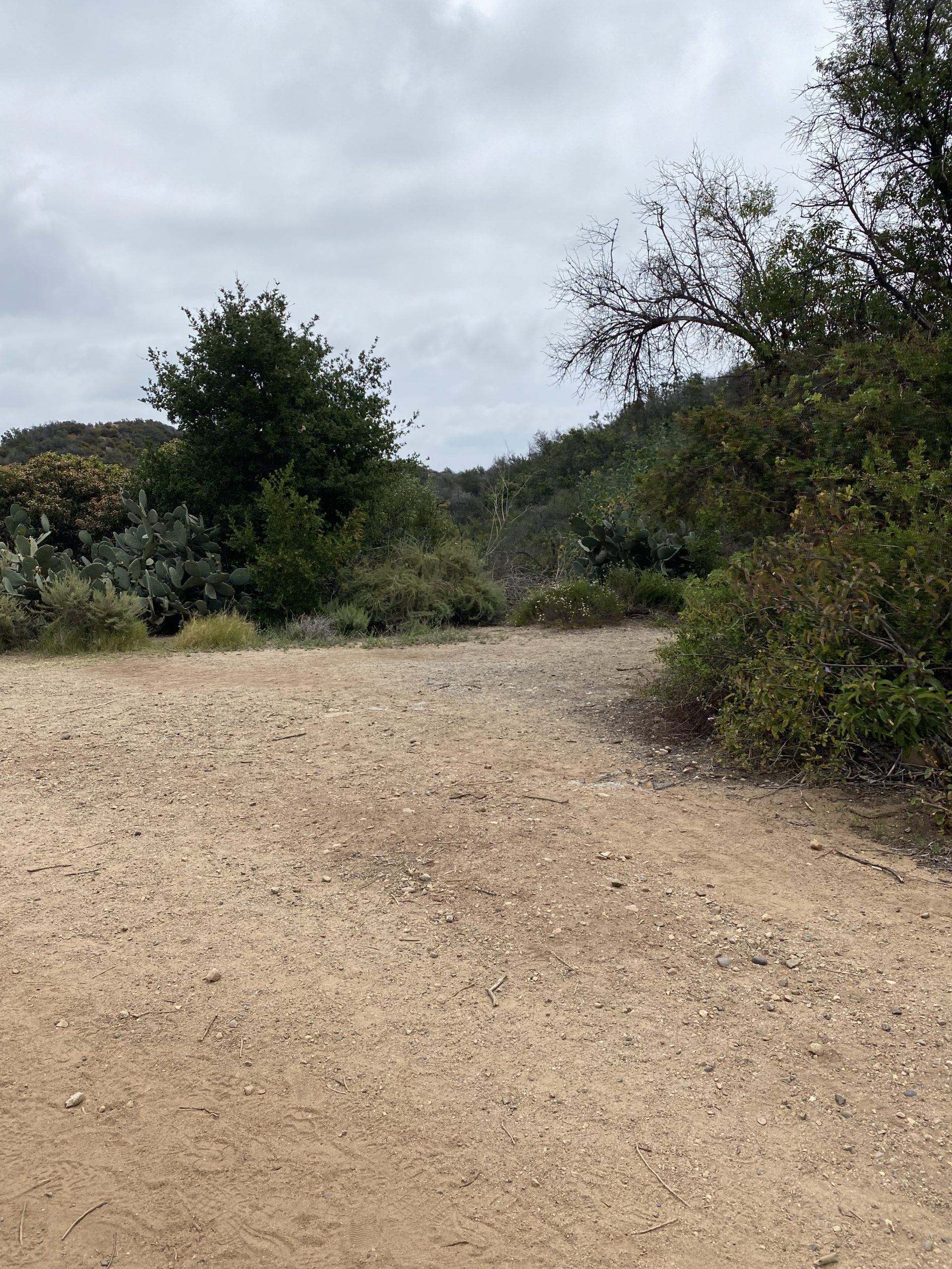
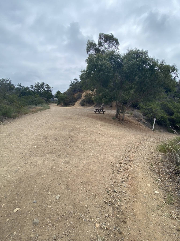
You’ll come to yet another fork, with a picnic bench and some trees for shade. This is a great place to stop and rest if you’re feeling a little too hot. Continue straight, keeping the picnic bench on your right. Keep an eye out — lots of bluejays were in this area! You’ll keep getting glimpses of the city and ocean as you descend back to the park.

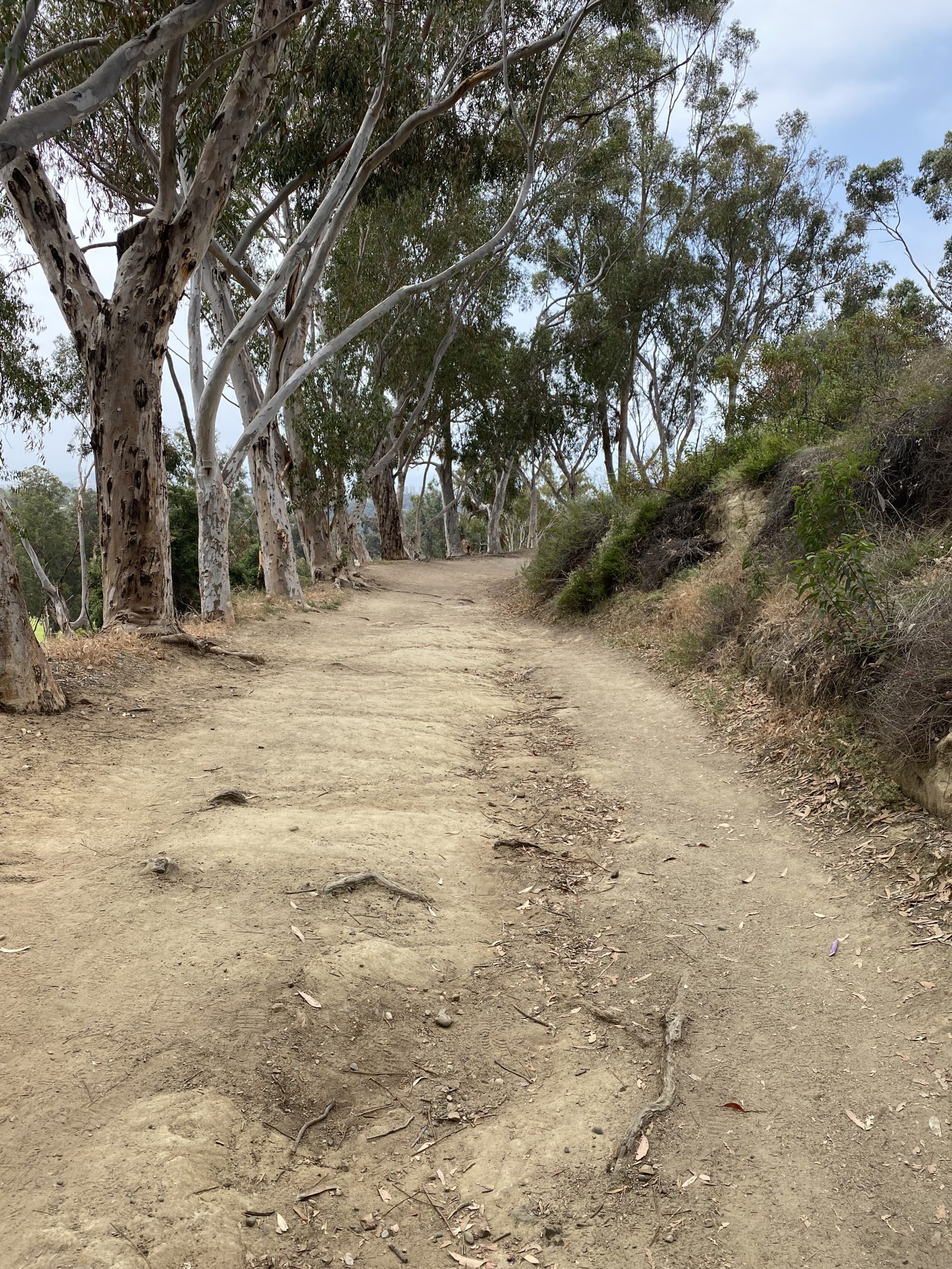
You will encounter one more fork (it’s the last one, I promise!) You can take either path — the path that veers to the right is a bit of a shortcut, so if you’re feeling ready to get back faster then this is the best choice. Otherwise, continue straight and you’ll find yourself in a grove of trees that line the path back to the park.

The trail spits you out at the end of the paved path where you started, which you can take back to your car, or you can choose to picnic on the huge lawn or at any of the numerous picnic benches. The rest of the day is yours! The hike shouldn’t take more than 1.5 hours, so it’s a great way to start or end your day.
For those looking for a much longer adventure, this route also walks along one of the trailheads for the Backbone Trail. The Backbone Trail is a 67-mile long distance trail that treks across most of the western Santa Monica Mountains, running from Will Rogers State Park all the way to the Pacific Ocean at Point Mugu State Park. There are not currently enough campgrounds along the way to realistically make this a backpacking trek for most hikers, but it can (and has!) been done! Otherwise, there are many excellent places to section hike this route on several days.
Tags: inspiration point, Santa Monica Mountains, will rogers state park