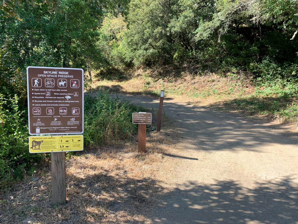
Alpine Pond to Horseshoe Lake is a mixed shade and sun hike looping around two placid ponds on the western slopes of Skyline Ridge Preserve. As well as the gorgeous ponds, this hike features wildflowers, wildlife, bedrock mortars, and vistas of the redwood-flecked Santa Cruz Mountains. The ponds have benches and picnic tables, and there are also wheelchair and stroller-friendly trails at both that make wonderful options for the little ones.
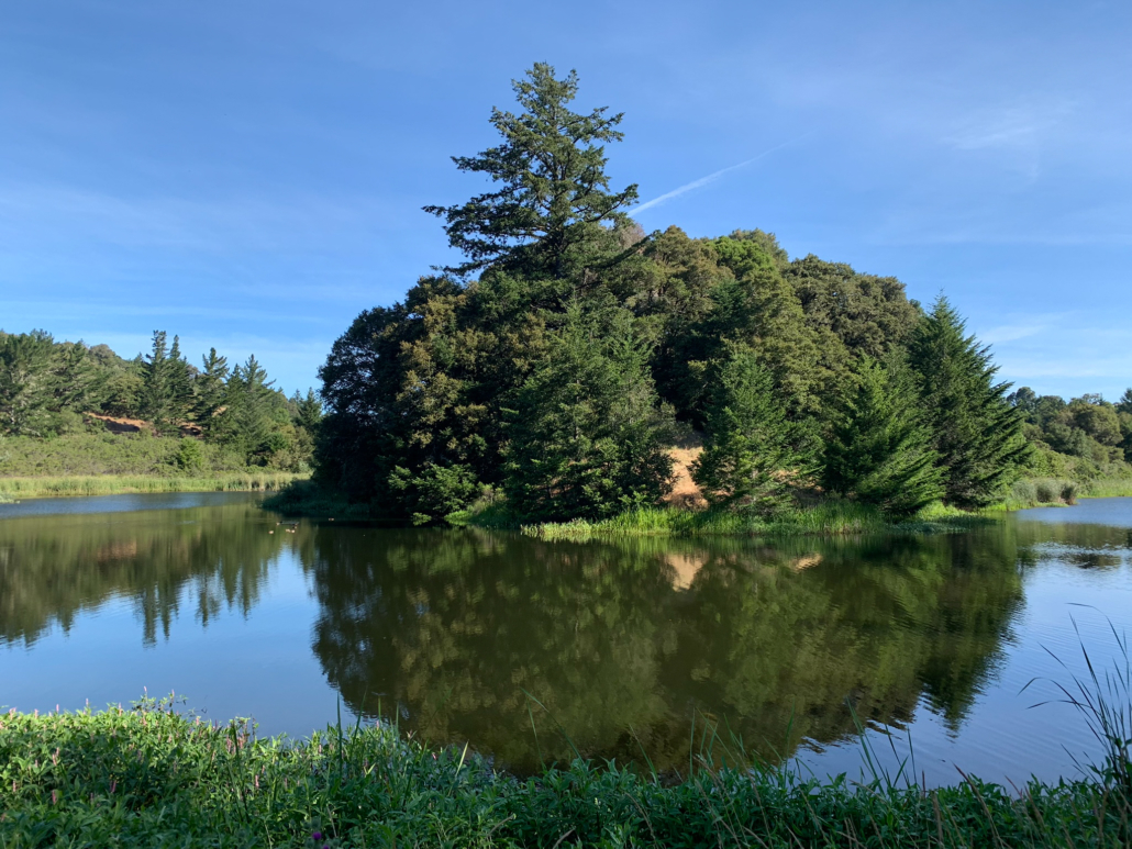
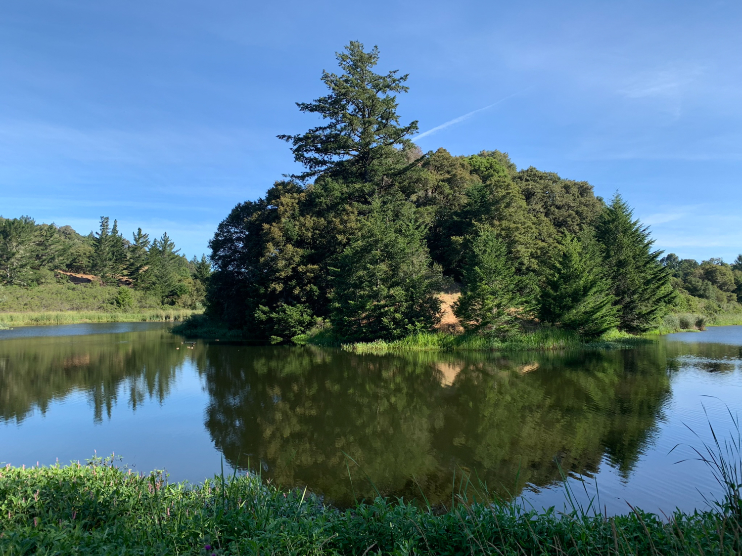
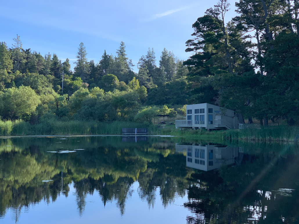
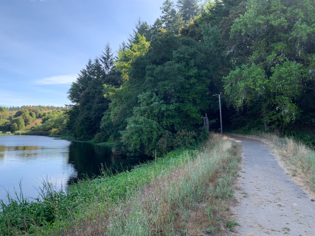
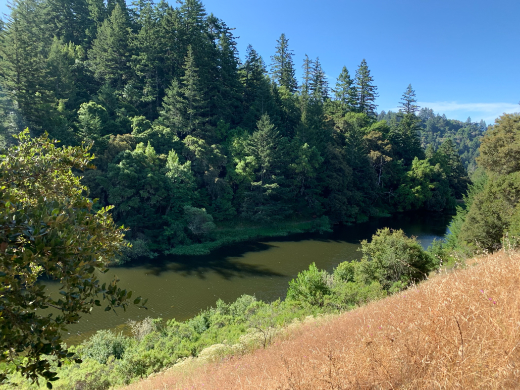
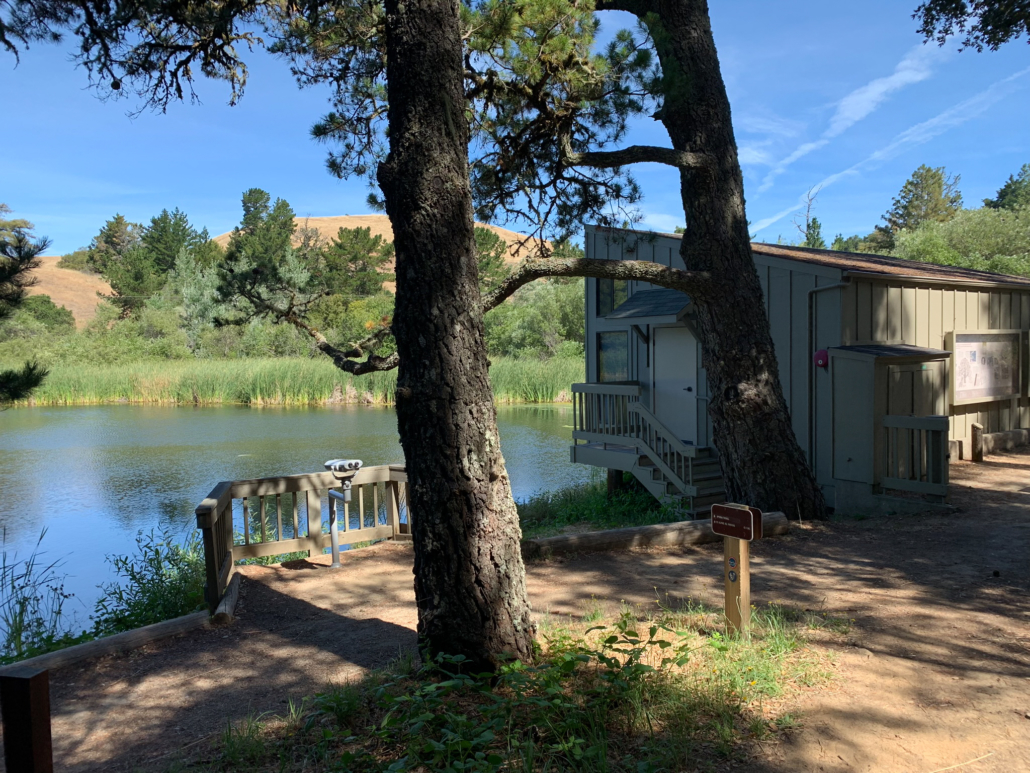
Peaceful views at Horseshoe Lake
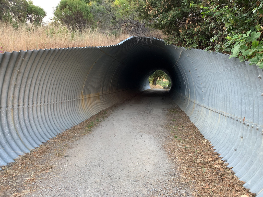
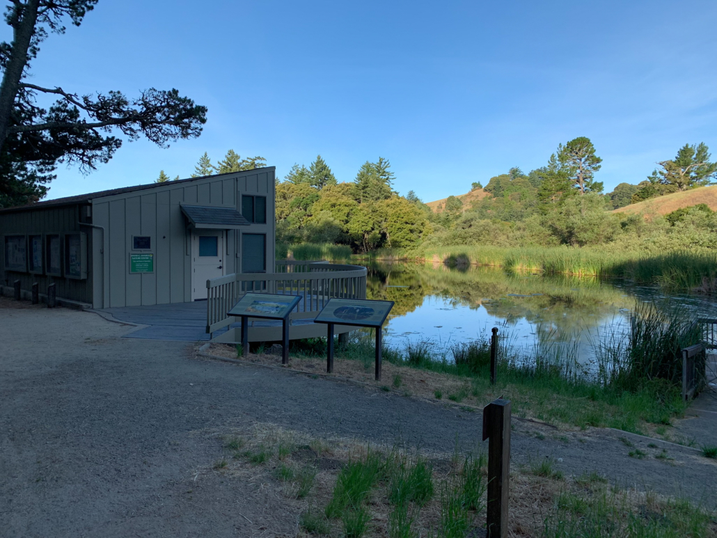
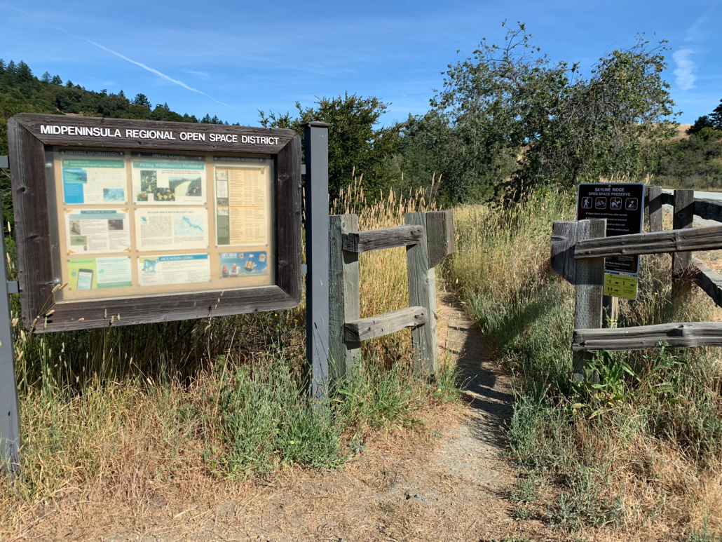
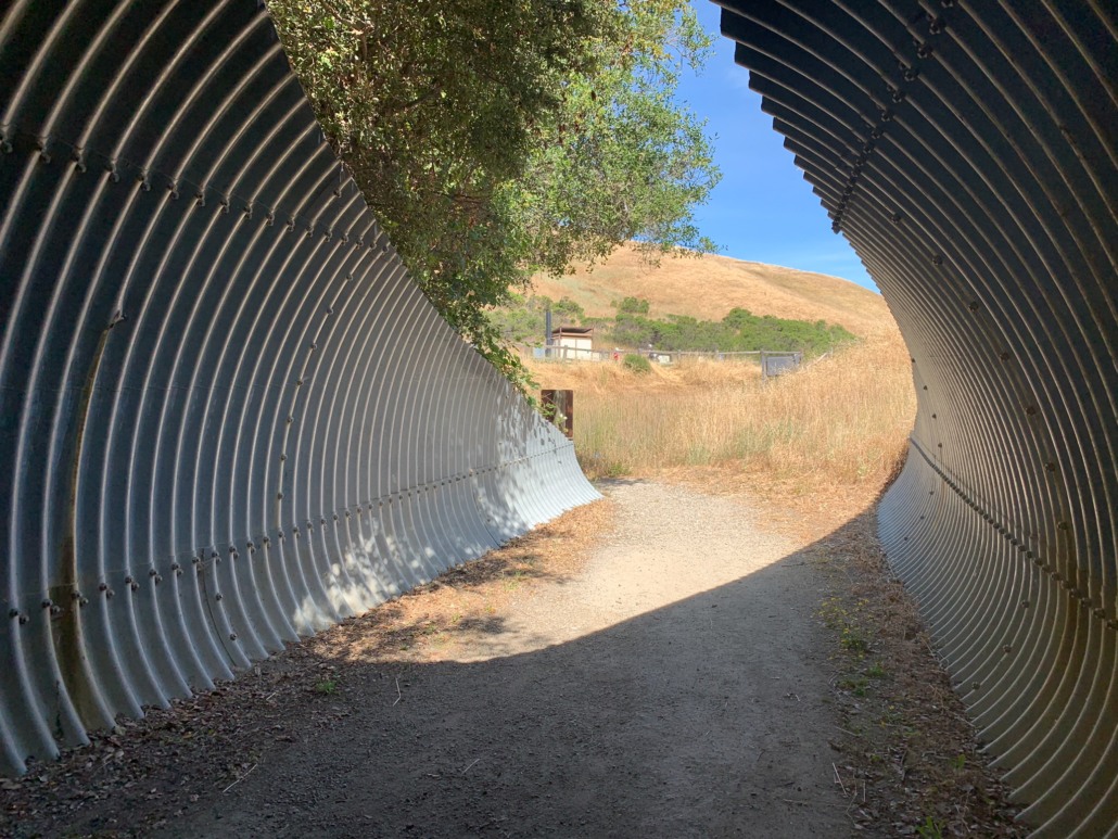
Begin your hike at the Russian Ridge Preserve parking lot, descending the stairs (or taking the accessible path on the left) towards the David C. Daniel Nature Center. Pass through the tunnel and arrive at the Nature Center–generally open weekends–and Alpine Pond. The pond’s quiet, mirror-like surface is bordered by cattails and willows. Early morning is a great time to observe birds trilling and aquatic life diving and surfacing.

Alpine Pond and Horseshoe Lake are artificial ponds created in the 1950s by John Ricky, owner of the former Rickey’s Hyatt House in Palo Alto, as a water source for his ranching and farming activities. In 1982, Midpen purchased the property and developed Skyline Ridge Open Space Preserve. Today, the ponds are preserved wetlands where you can learn about plants and animals that live in them and feed from them like herons, red-winged black birds, dusky-footed woodrats, brush rabbits, and western pond turtles.
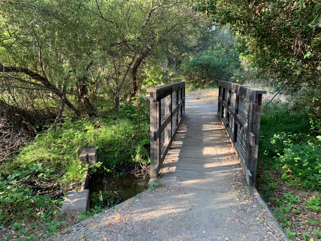
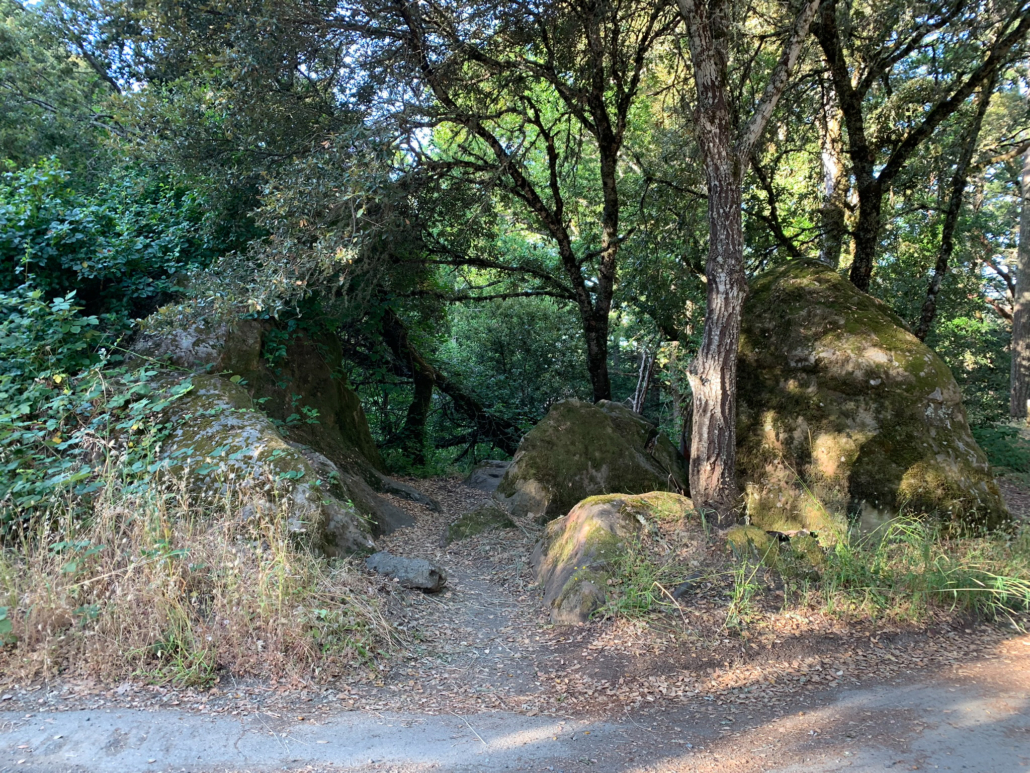
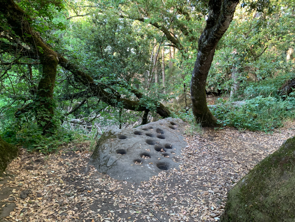
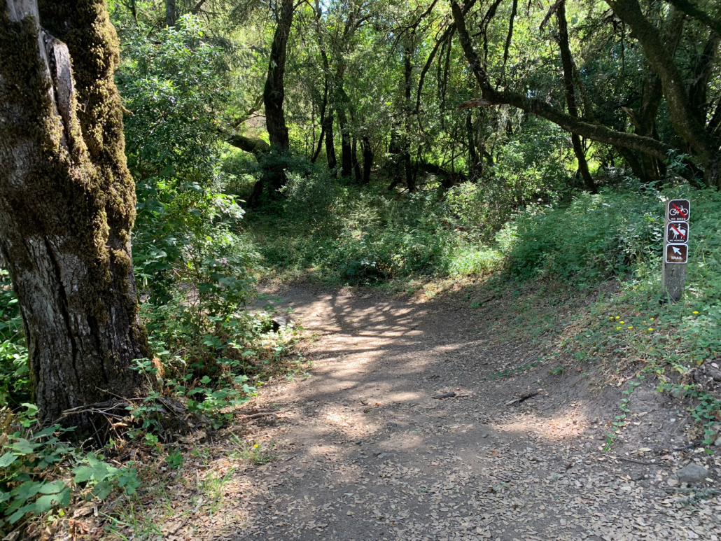
From the David C. Daniels Nature Center, turn right onto a narrow gravel path to begin a counter-clockwise loop around Alpine Pond. About three-quarters of the way around, cross a wooden bridge over the pond’s outlet and then bear right at the next junction, heading downhill on the Ridge Trail. In 150 feet, look on your right for a narrow path between boulders. The path leads to a block of sandstone with bowl-shaped holes called bedrock mortars. The Ohlone used these bedrock mortars as recently as the 19th century to grind acorn kernels for food.
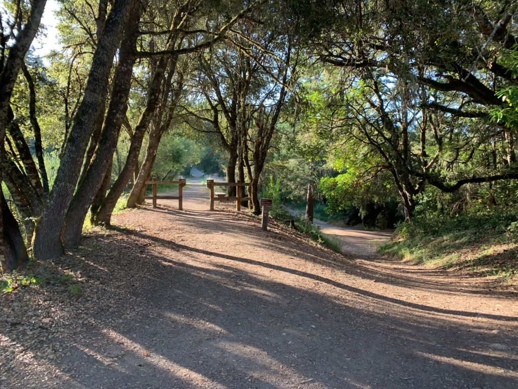
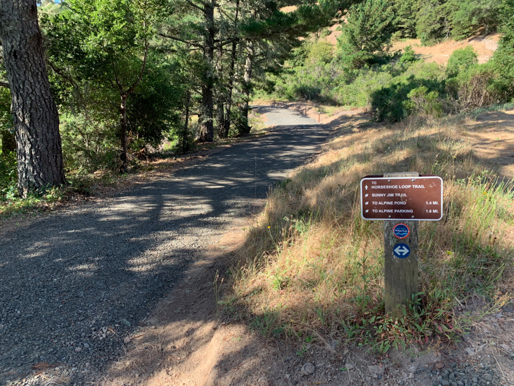
When ready, retrace your steps to the Alpine Pond Trail, where you have a pretty view of the Nature Center. Just beyond this viewpoint, stay straight past a restroom onto a gravel road. This road is the Sunny Jim Trail, named after James Rolph, Jr., a former San Francisco Mayor (1912-1931) and California Governor (1931-1934) who owned land here before John Rickey. His nickname, “Sunny,” was given to him because of his trademark happy character.
A northeast-facing viewpoint of Alpine Pond shows the reflection of the David C. Daniels Nature Center.
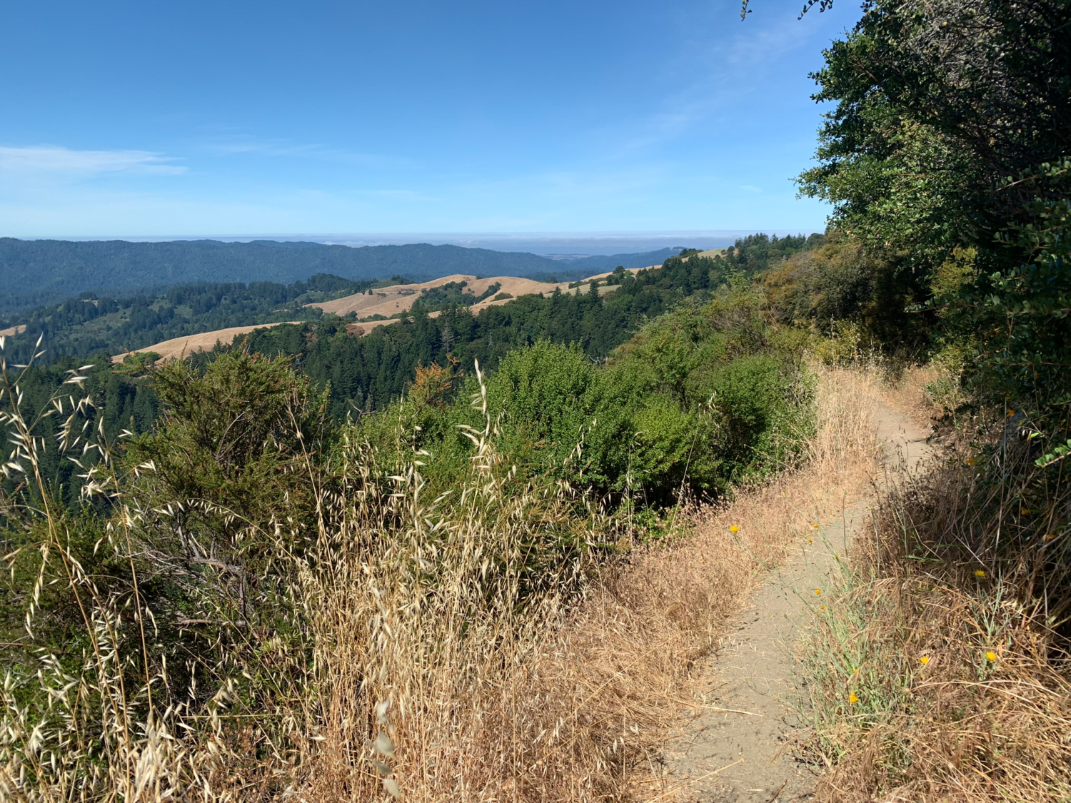
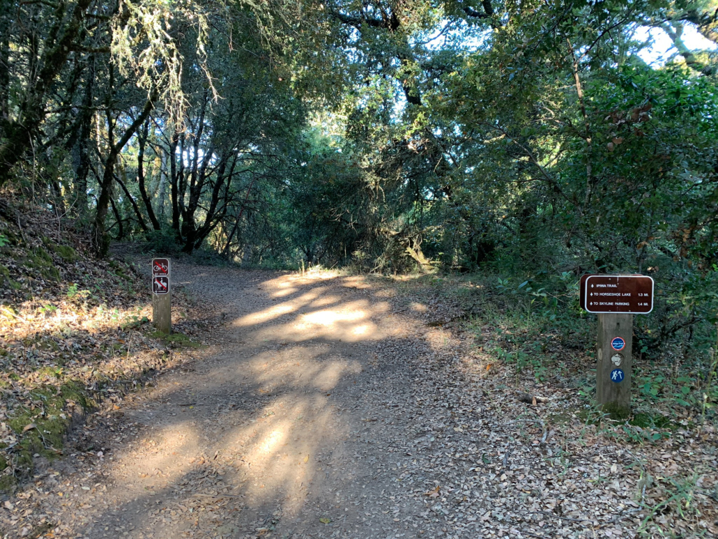
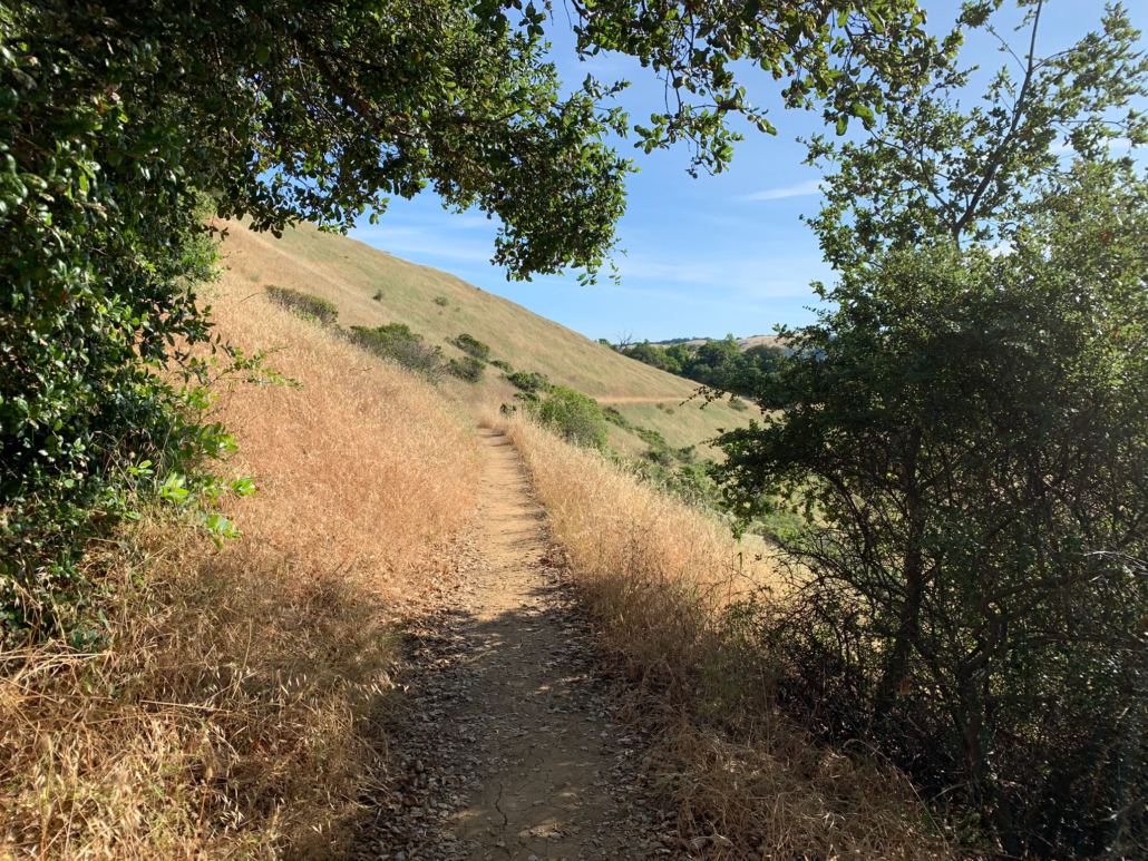
In just 175 feet, turn right onto the Ipiwa Trail towards Horseshoe Lake, heading southeast under shady live oak. Emerge into a sunny, wild oat grassland with miniature lupine and poppies in spring and summer. The trail climbs 200 feet along the western slope of the ridge, transitioning from grassland to chaparral. You may see shy California quail darting into the bushes, with their distinctive hook-shaped crest on the male’s heads. (Tip: listen to the quail’s sounds before you head out to recognize their calls when you hike.)
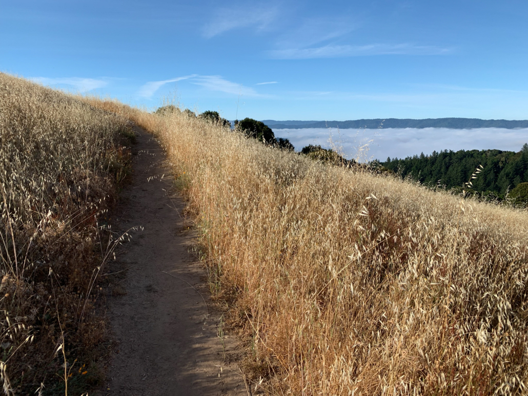

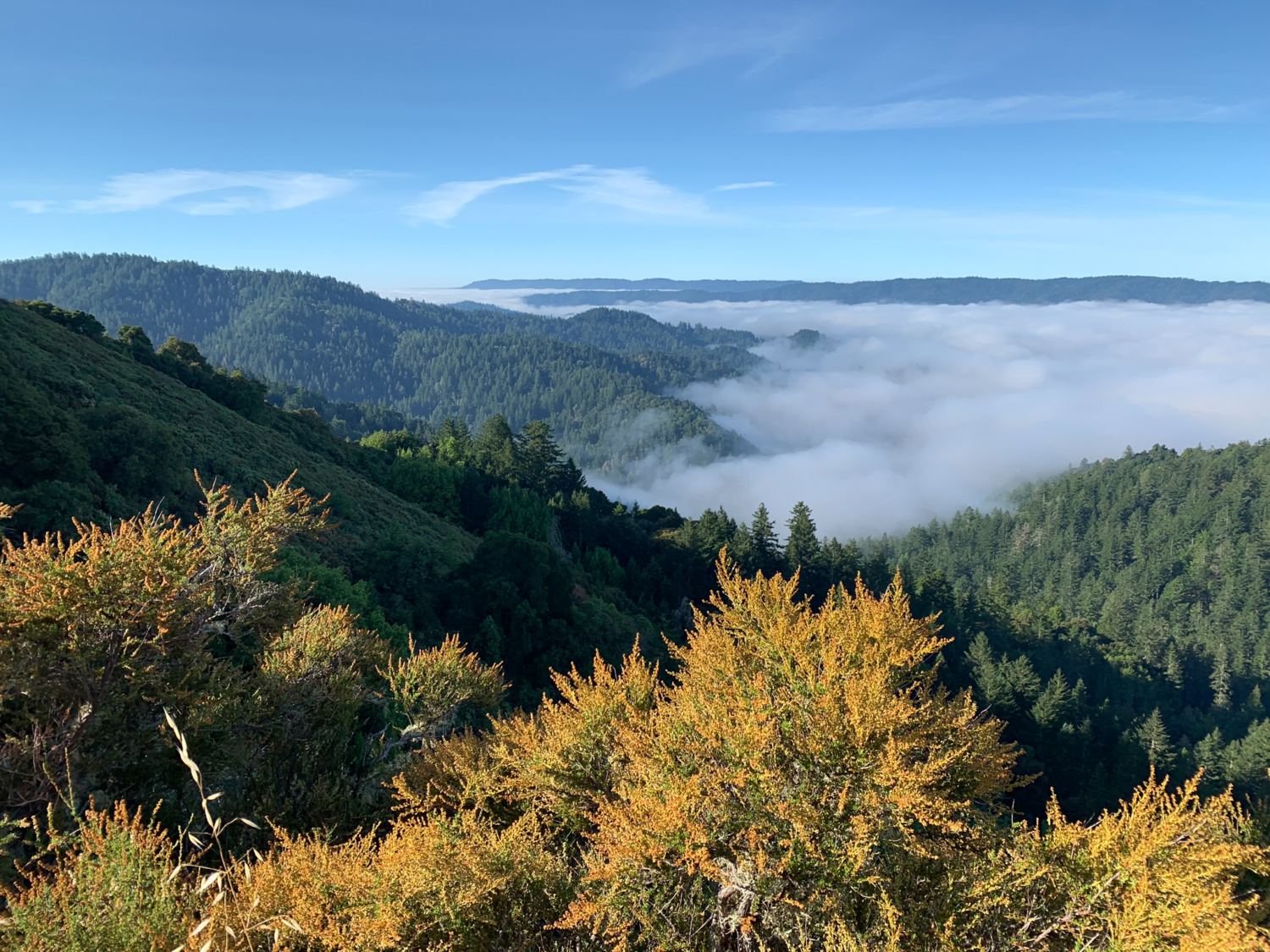
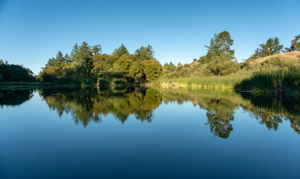
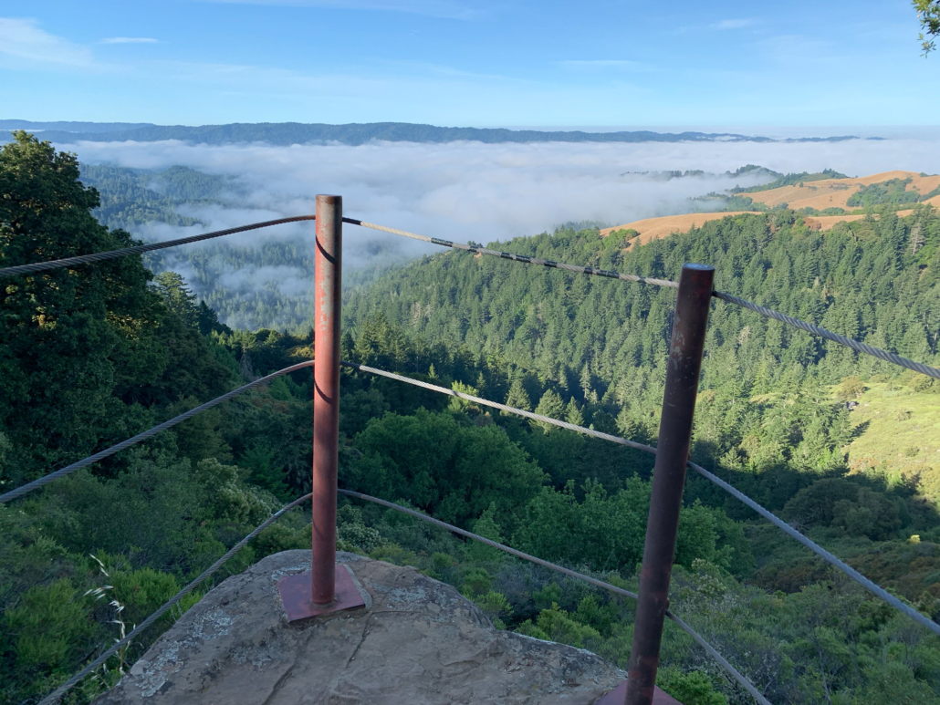
Morning fog settles in valleys on the western slopes of the Santa Cruz Mountains.
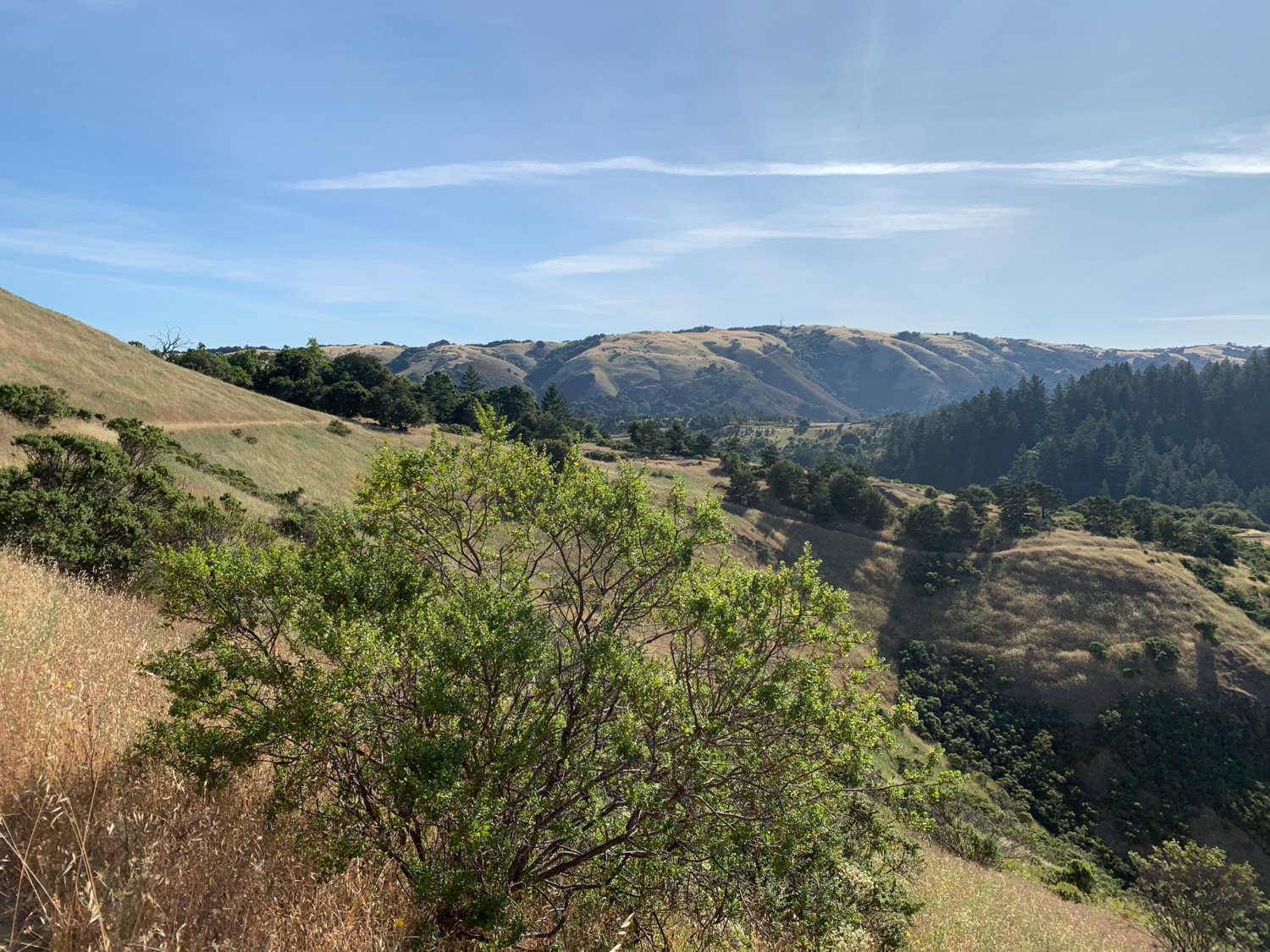
At 1.2 miles, reach the Gene Sheehan Overlook, also known as Rattlesnake Point. Sheehan was a trail builder for Midpen who designed trails at Midpen preserves, including the Ipiwa Trail. A small observation area juts over the ledge to a vista of ridges, valleys, and forests in the Santa Cruz Mountains. The overlook is the high point of this route. The route descends from here back into grassland with views of Mount Umunhum to southeast and Black Mountain to the northeast.

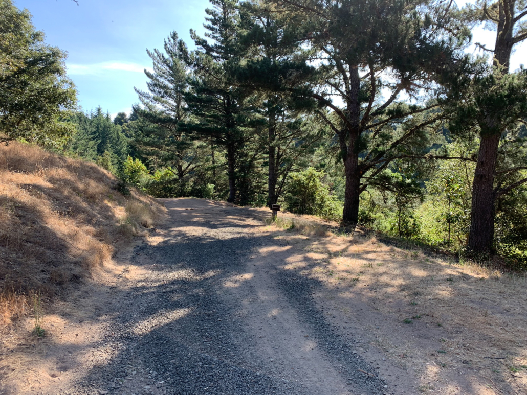
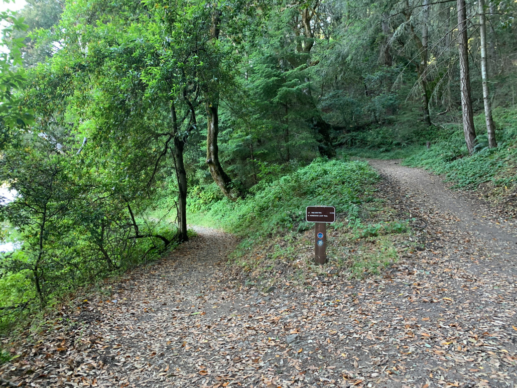
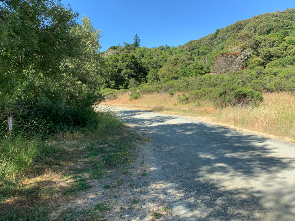
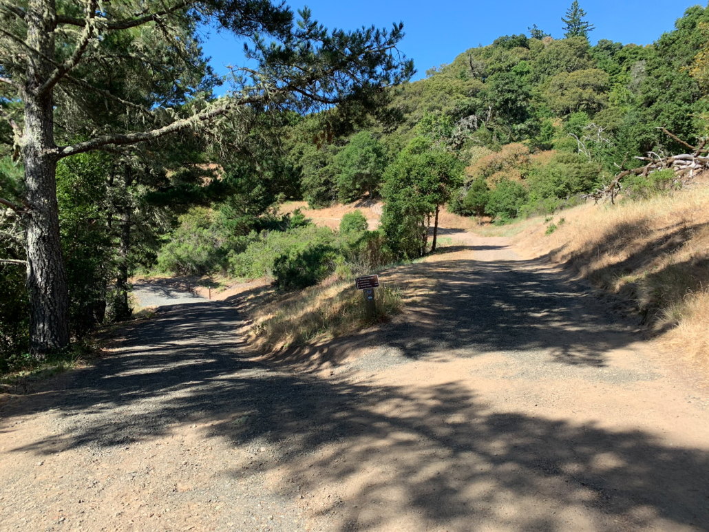
At the next junction, turn right to rejoin the Sunny Jim Trail towards Horseshoe Lake. The wide dirt road is sunny, exposed, and surrounded by pines. Descend a stiff 275 feet over the next 0.5 miles to the bottom of the hill. Then, make a sharp right to join the Horseshoe Loop Trail and begin your 1.3-mile loop around Horseshoe Lake.
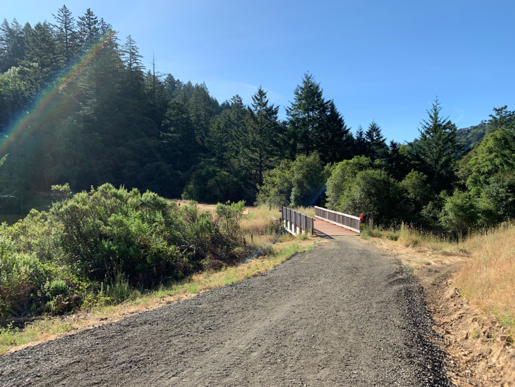
Heading southeast on the Horseshoe Loop Trail, the gravel road descends towards the lake’s shore, crossing a bridge to a vista where you can see the horseshoe shape of the lake. A bench here, at the 2.1-mile mark, is a fine place to pull out your sandwich and enjoy the view. You might see American Coots, water birds in the rail family with black bodies and white bills, scuttling around the lake.
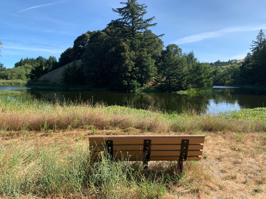
A well-placed bench offers a view from the crux of the horseshoe-shaped lake.

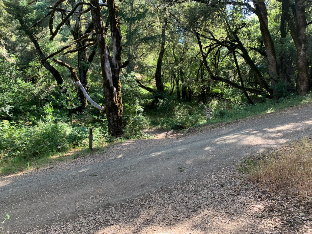
Past the vista, bear left to stay on Horseshoe Loop Trail. This section is shady with lots of greenery—coastal wood fern, sword fern, Douglas fir, and the ever present poison oak. Benches here, at the lake’s edge, are a fine break alternative to the previous bench. This is the lowest point of the hike, and from here, you will gently climb up and away from the lake, past sweet smelling California buckeye.
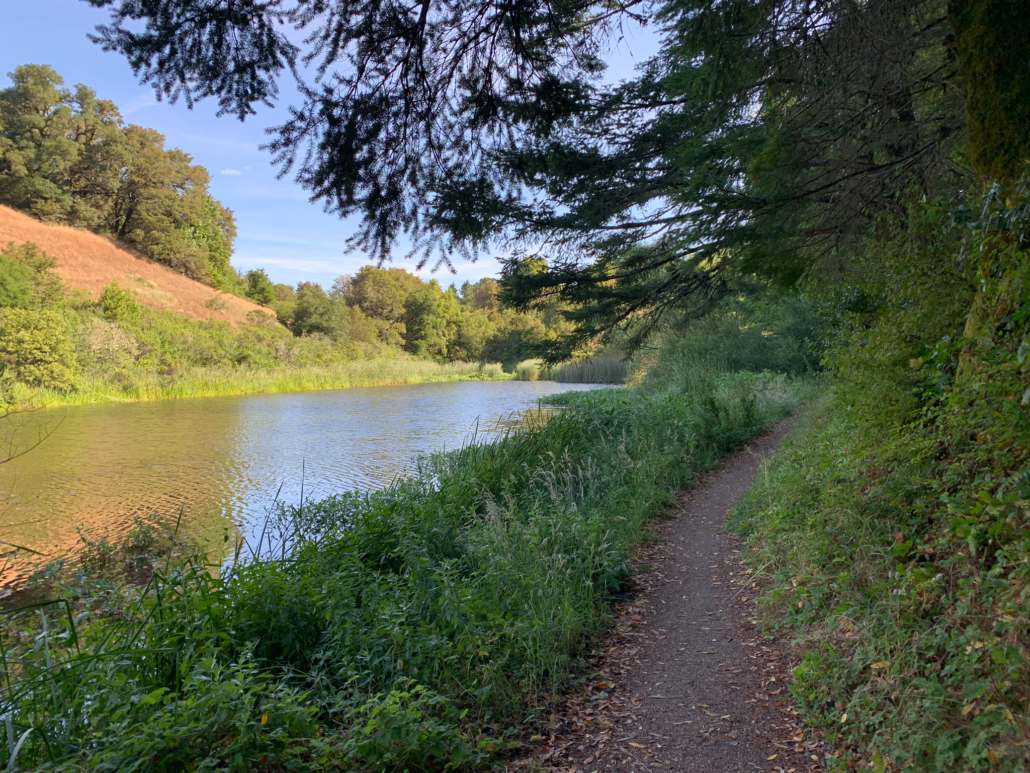
Gently climb up and away from the lake. On your right is an alternative parking lot for this hike; you will stay straight on this narrow and brushy stretch of the Horseshoe Loop Trail. Now on the northern end of the lake, you have views looking down on the lake from above.
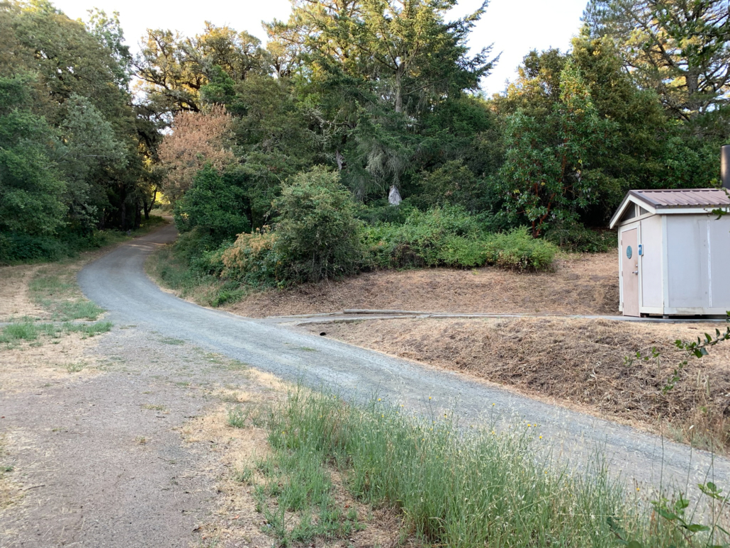
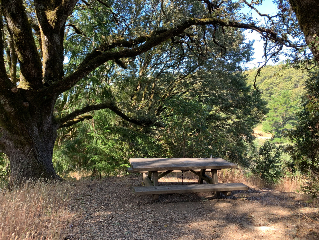
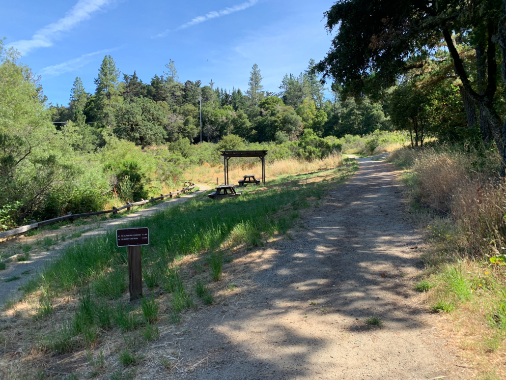
At the 2.9 mile-mark are two shady picnic tables with trees mostly blocking views of the lake. Past the picnic tables, bear left to merge onto a gravel road to an accessible parking lot. Stay straight through the parking lot, picking up the dirt path on its southern edge towards the Sunny Jim Trail.
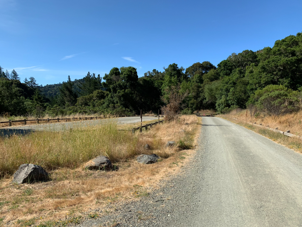
Approaching an accessible parking lot. The wheelchair and stroller-friendly easy access trail is on the eastern (left) side of the lot.
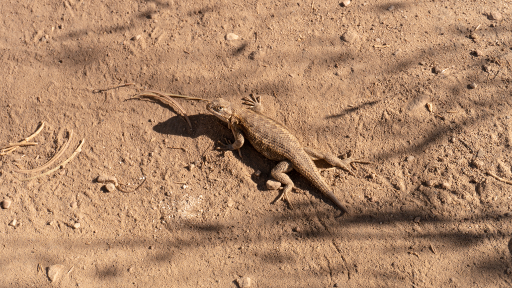
Back at your starting point of the Horseshoe Loop Trail, bear right on Sunny Jim and huff up the hill 0.5 miles back towards the Ipiwa Trail. Retracing your steps, turn left on the Ipiwa Trail, heading northwest. This sunny stretch is fun for watching western fence lizards skitter along the trail. Signs warn to keep your eyes peeled for rattlesnakes, too.

Reach your earlier junction with the Sunny Jim Trail and stay straight, continuing on the Ipiwa Trail to Alpine Pond.
At 4.8 miles, return to the David C. Daniels Nature Center. Enjoy the pine-framed view of the pond, and peek through the binoculars to see if you can spot wildlife. Panels on back of the Nature Center share information about Skyline Ridge Preserve’s history, wildlife, and happenings at Midpen preserves. Retrace your steps back to the Russian Ridge parking lot, bearing right past the picnic tables and then left at the split in the trail, passing through tunnel once more.
Notes:
- Skyline Ridge Preserve opens a half-hour before sunrise to a half-hour after sunset.
- The David C. Daniels Nature Center is generally open weekends from 12:00 p.m.-5:00 p.m. from April to mid-October and 11:00 a.m. – 4:00 p.m. from late October to mid-November.
- There are restrooms in the Russian Ridge Preserve Parking lot, on the southern edge of Alpine Pond, and in the accessible parking lot at Horseshoe Lake.
- A water fountain is located outside the David C. Daniels Nature Center.
- See the trail map for Skyline Ridge Preserve on Midpen’s website.
- Dogs are not allowed at Skyline Ridge Preserve.
- Swimming and fishing are not allowed at Alpine Pond and Horseshoe Lake.
- Most of this route is hiker-only, but a small portion is open to mountain bikers and horseback riders. See the Midpen map for details.
- For an easy 2.4-mile hike, turn around at Gene Sheehan Overlook (a.k.a. Rattlesnake Point) and head back to the Russian Ridge Preserve Parking Lot.
- To get even more out of this hike, I recommend listening to Midpen’s Alpine Pond and Skyline Ridge Habitats multimedia tours. You can also check out a listening device with these tours from the David C. Daniel Nature Center, or download them and listen to them as you hike.
Tags: Midpeninsula Regional Open Space District, peninsula, san francisco, San Francisco Bay Area, Santa Cruz mountains, Skyline Boulevard, Skyline Ridge Preserve