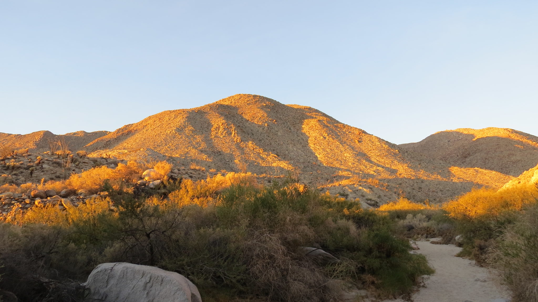
Hiking in the desert is hard. There are no trails. The terrain is rugged. The bushes are angry. The sun is relentless. The whole experience often leaves hikers a little battered, a little bruised, a little punctured, and often thoroughly exhausted. What better way then to relieve all of the accumulated aches, pains, and exhaustion than with a blissful dip in a hot tub.

Agua Caliente (Spanish for “hot water”) delivers exactly what its name implies. The primary attractions of the park are the hot springs, which are piped into a large, swimming pool-like room that’s kept well-maintained. Also present and piped in from the nearby springs are a warm pool, and a regular swimming pool. Beyond the springs and pools, the park also contains a campground and a pair of hiking trails described below.

The first of the two loops, dubbed the Marsh Trail, departs from the northern side of the park just before the entrance kiosk. This trail was formerly known as the Pond Trail after a pond constructed by a ranger years ago. A set of springs fueled the pond while also nurturing a lush riparian corridor that hosts a wide array of wildlife. However, the park deconstructed the pond in order to restore the habitat. Although the pond is gone, the riparian corridor remains vibrant.

To start the short cherry-stem loop head nearly due west toward an overlook as you pick your way over the rugged white granite of the Tierra Blancas Mountains. After 0.1 mile, you reach a junction with a steep trail gaining a sharp 200′ in 0.2 mile to reach an overlook that peers east toward the Vallecito Mountains and southeast toward the Carrizo Badlands. This is a fine place to enjoy the sunrise if you don’t mind the early wake up while camping.

Drop back down to the junction and turn left. After a quick climb over a small ridge, the trail descends to the sandy bottom of Squaw Canyon (0.5 mile). Turn left here and follow the wash on a gradual incline toward a dense tangle of willow, mesquite, and a handful of palms. The spring-fed marsh (0.8 mile) itself is a bit hard to spot because everything has become overgrown. Early morning visitors are likely to hear a lot of birdlife and perhaps even spot some of the resident mammals and lizards that come to this spot for the water.

To return to the trailhead, retrace your steps heading east past the junction to the overlook and continue through the wash to a junction with a return trail just before you reach the road.

The second loop in the park departs from the thick tangle of desert riparian foliage adjacent to campsite 140. A few parking spots will allow you to stow your car if you’re just dayhiking. From a trail just left of the campsite, head south, quickly dropping through a corridor of willows, cottonwoods, palms, and mesquite before climbing a steep, rocky, and somewhat sketchy slope. A moderately steep climb continues over the next 0.3 mile as the trail works its way up to a saddle.

At the saddle you get a great look at the heavily fractured granite. Its heavy feldspar content gives it the appearance of being white, which also lends the name to the Tierras Blancas (white earth) Mountains. The heavy fracturing offers a clue as to why the springs are here in the first place. Many desert springs occur wherever faults – in this case the Elsinore Fault – mark a boundary between mountains and valleys. In addition to crushing, grinding, and breaking up the granitic masses composing these mountains, the fault allows water to seep up from underground aquifers. Most of the springs in the area, including those at nearby Mountain Palms Springs, Dos Cabezas, the Carrizo Gorge, and Bow Willow, are fed in this manner, but none of them are hot like Agua Caliente’s.

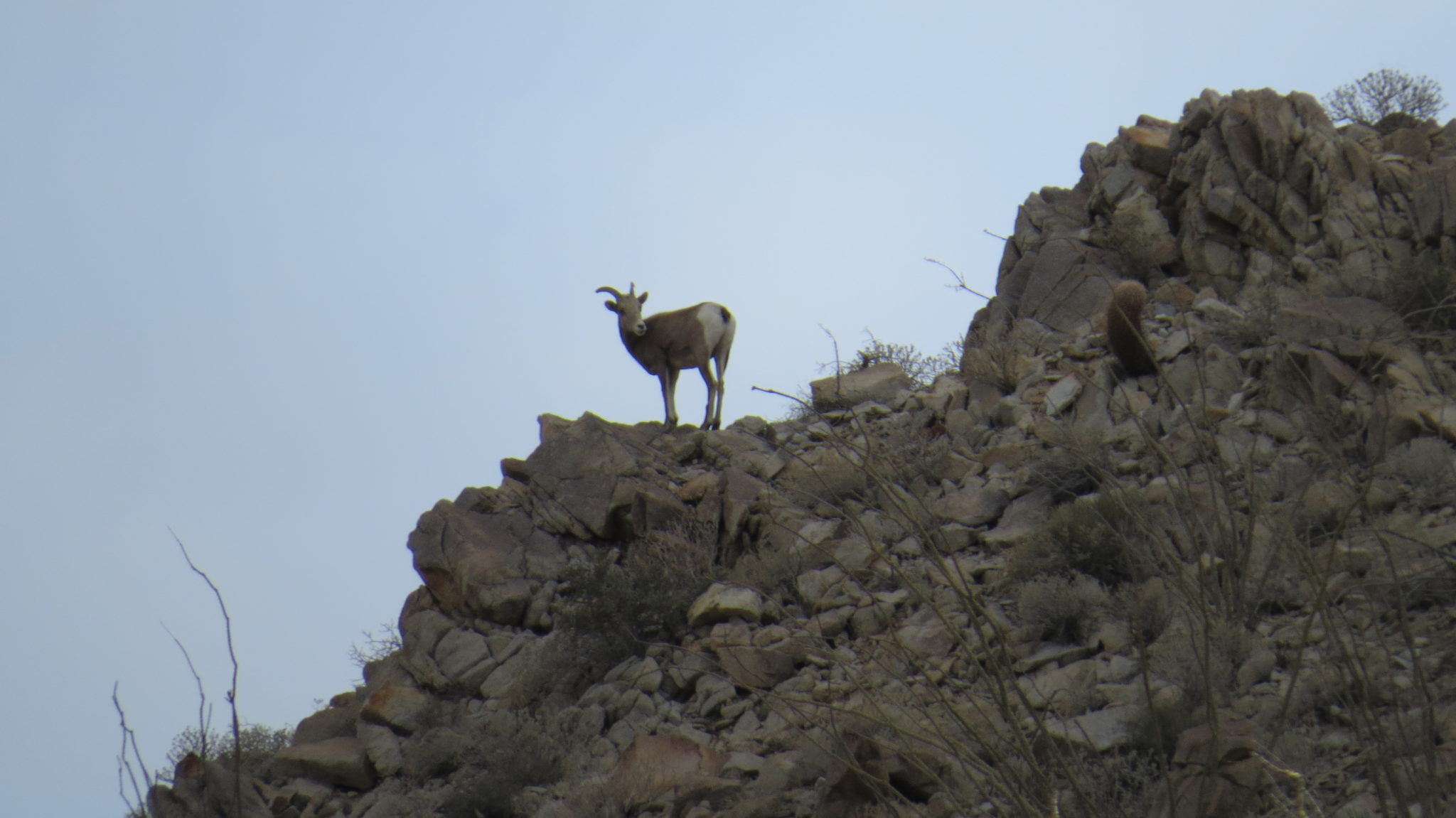
Such abundant surface water is also a powerful wildlife attractant. In addition to the snakes, rodents, small mammals, and birds that frequent the area, a substantial heard of bighorn sheep also make their home in the Tierras Blancas Mountains. On two of the three occasions that I’ve hiked in the area, I’ve encountered bighorn sheep. Aside from Borrego Palm Canyon, Agua Caliente may be your best chance in the Anza-Borrego Desert region to view the large, endangered mammal.

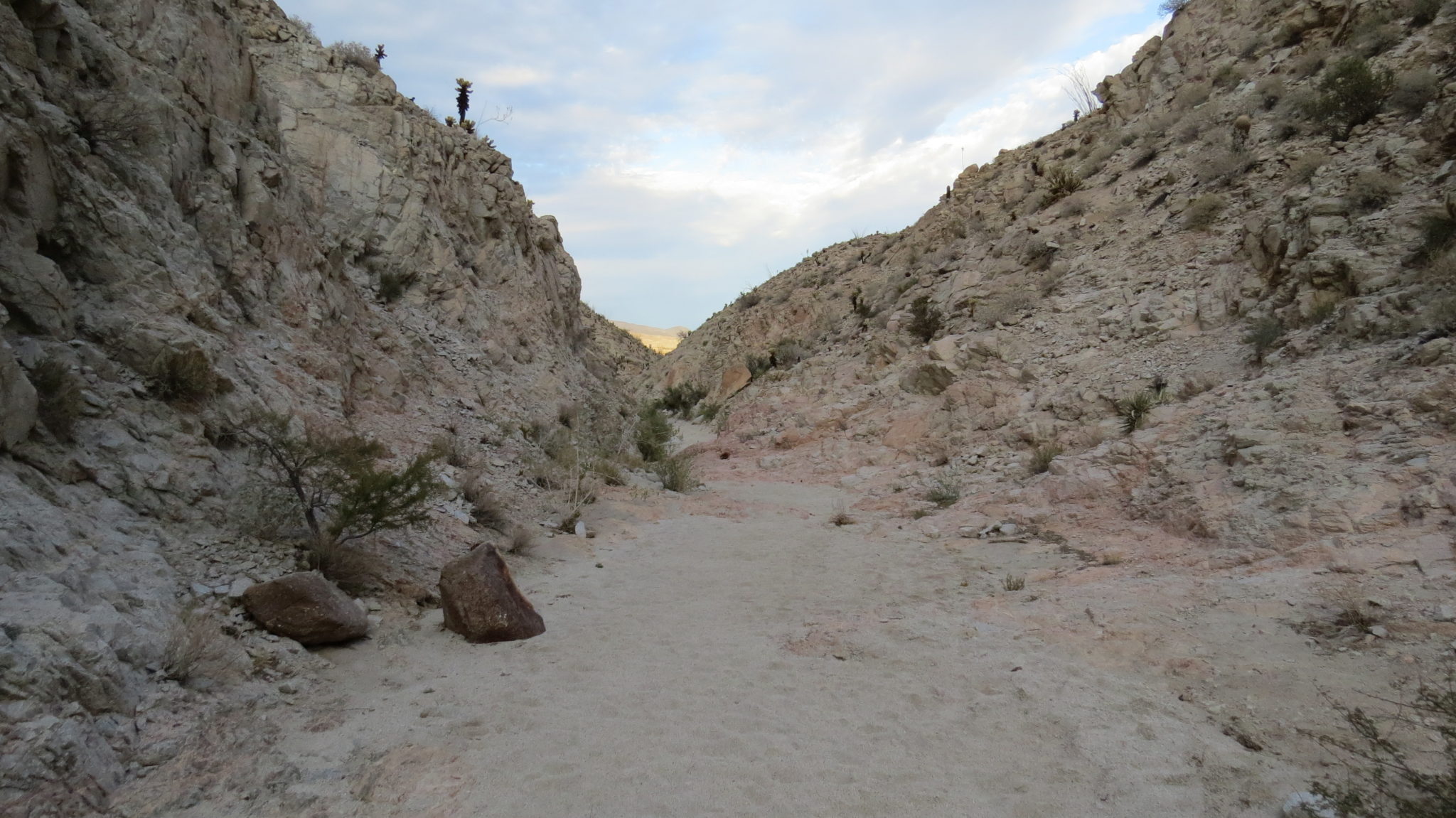
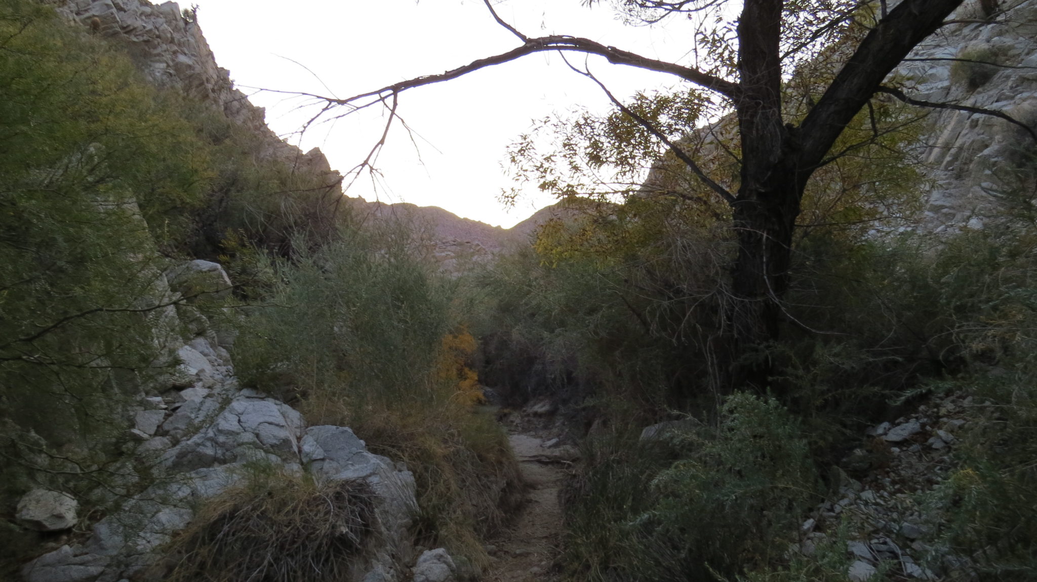
To continue the route, commence a rocky descent down to the sandy floor of Moonlight Canyon. A sign warns against heading up-canyon, leaving down-canyon your only option for continued travel. As you pass through the narrow walls, keep your eyes peeled for sheep. After 1 mile, you will reach a seep that bleeds water out onto the trail beneath the cool shade of willows and mesquite. Beyond that seep, the trail passes through large thickets of mesquite and catclaw. Both plants support the parasitic desert mistletoe, which is a favorite browse of the phainopepla. Listen for the short, singular whistles from this darkly colored bird as it flits about in the bushes. Males are black, while females are a dark gray.

After the thicket of mesquite, the trail cuts across open desert heading northwest back the campground. To complete the loop, follow the trail back to the campground and then turn left to follow the road back to Campsite 140.
Tags: Agua Caliente County Park, Anza-Borrego Desert, bighorn sheep, hot springs, Marsh Trail, Moonlight Trail, San Diego County


