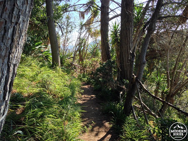
You’ve likely seen Amir’s Garden in Griffith Park before but not known what it was – a strangely forested ridge amidst the otherwise dry Southern California landscape.
Today, the five acre plot of land stands as a peaceful, shaded oasis amidst Griffith Park – a favorite of hikers and equestrians alike – but the garden itself arose from a dangerous and often deadly occurrence – wildfires.
In 1970, a brush fire swept through the area, leaving desolation and denuded slopes in its path.
Iranian immigrant Amir Dialameh was a West Hollywood wine merchant and hiker, who had taken to the trails in Griffith Park after moving to the States (and hiking all over the world). The Mineral Wells area was one of his favorites, and after the fire he petitioned the city to repair a section of the burnt land and plant a garden to provide shade and rest for hikers. The City eventually gave him permission to revegetate the area as a firebreak (but said no equipment or workers would be available to him). Amir signed on, and in 1971 he began his work – digging out over 200 charred tree stumps with his own pick and shovel.
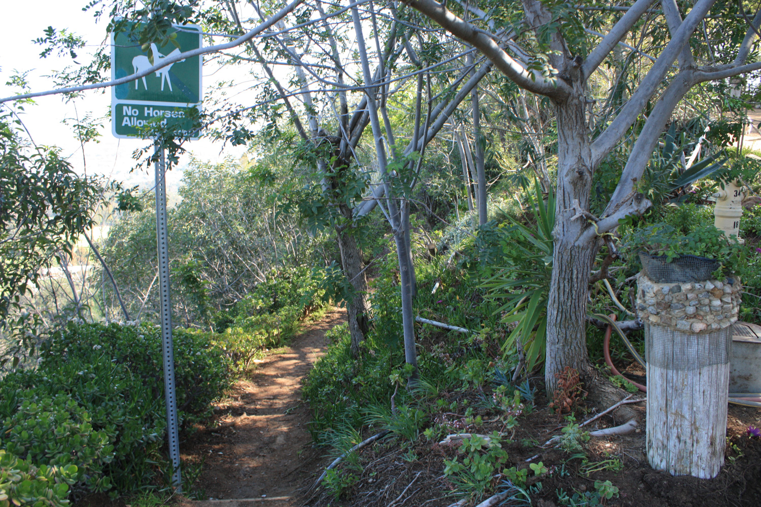
Over the next 12 years, Amir planted 60 varieties of trees and shrubs on the land, cut hiking trails into the hillside, and hand-watered all of his plantings. According to the Amir’s Garden history page,
His goal was to make, “an attractive rest stop for hikers,” because outdoor recreation was as important to him as breathing. “There are so many problems, so many pressures,” Dialameh once said of city life. “All people do is complain. They need to get away from that.”
Amir passed away in 2003, but hikers can visit the work he started and hardworking volunteers continue to maintain today. All it takes is a short trip up a fire road from the Mineral Wells area to experience the beauty a little hard work and volunteerism can do for a city.
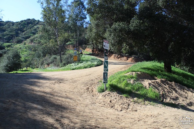
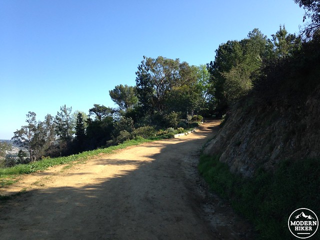
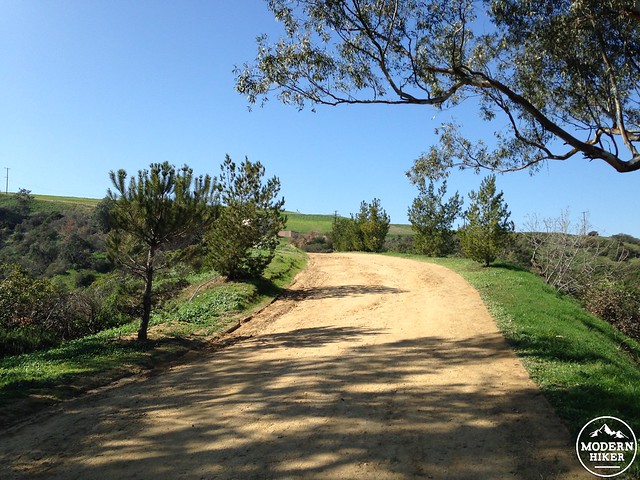
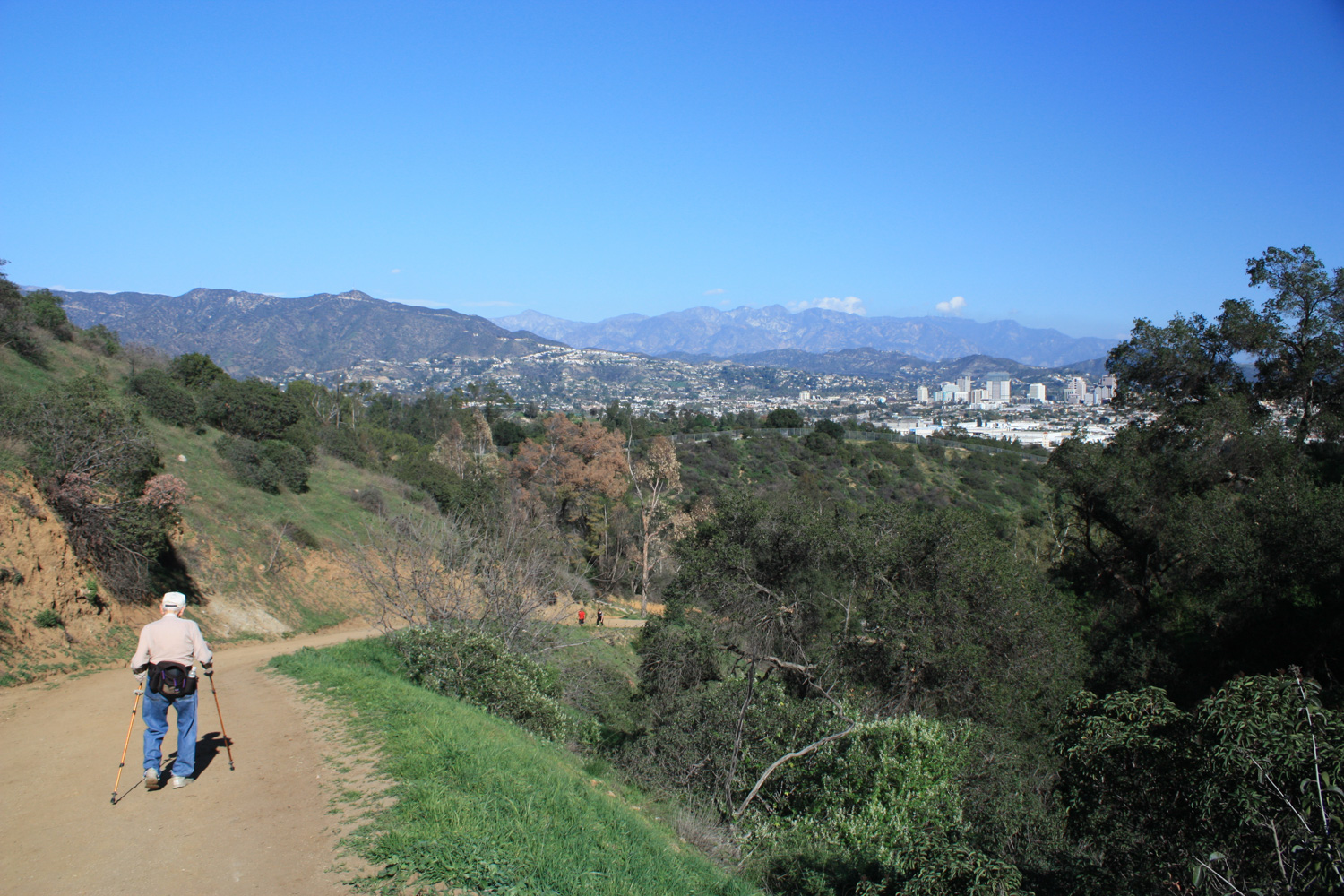
Begin at the fire road that sits at the southern intersection of Mineral Wells Road and Griffith Park Drive. The main fire road parallels the paved road for a bit, but you’ll start hiking up the road with the incline instead of staying flat (heading west from the roads).
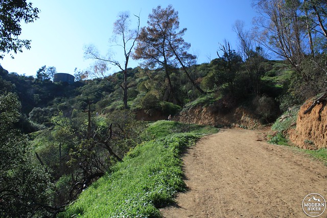
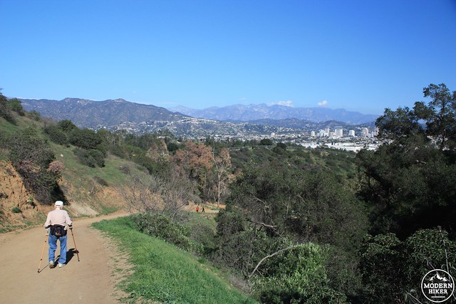
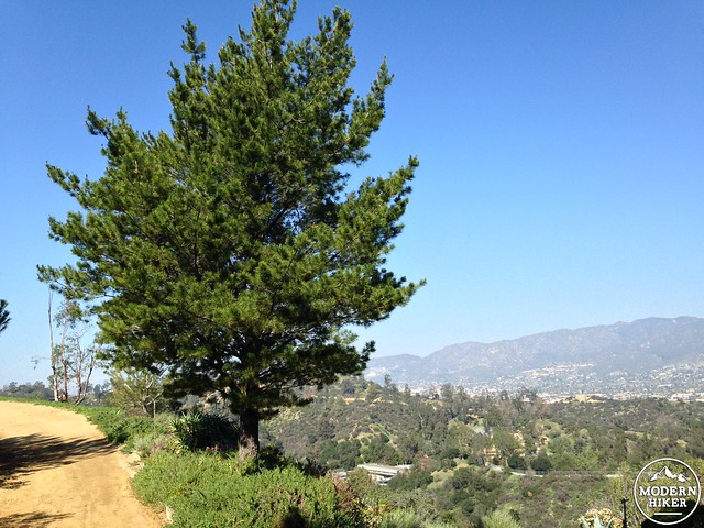
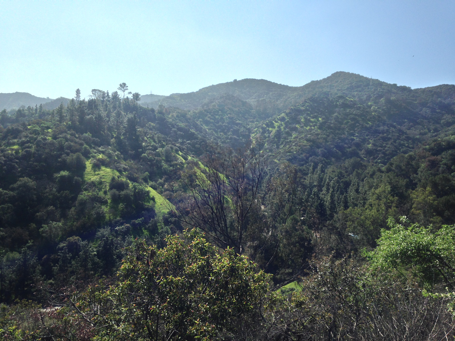
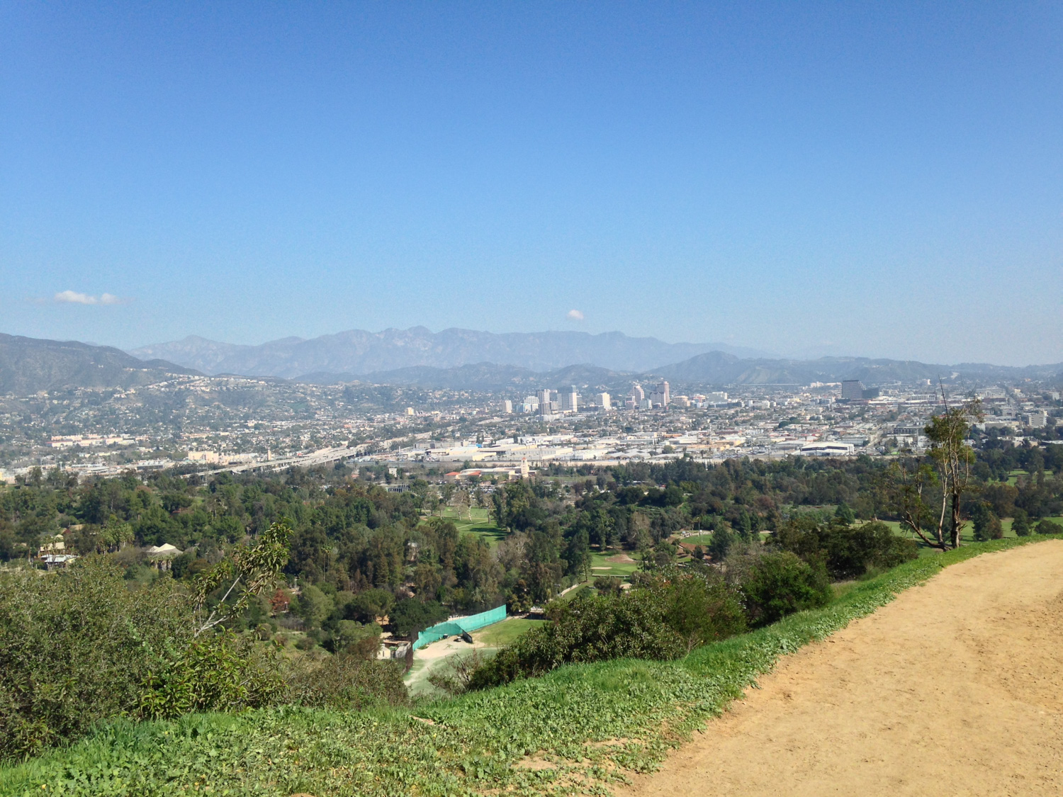
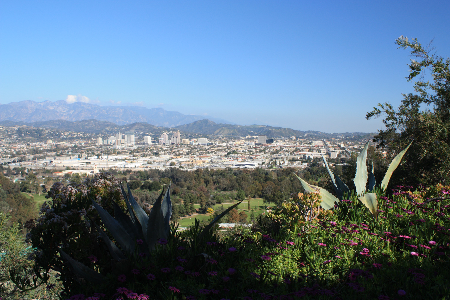
A water tank will be in sight almost from the very beginning of the trail as it climbs a respectable 170 feet in the first 0.2 miles. The road flattens out a bit near the water tank, and if the skies are clear you’ll start to see some drop-dead gorgeous views of the Verdugo and San Gabriel Mountains along with Burbank and Glendale.
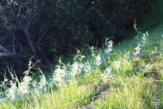
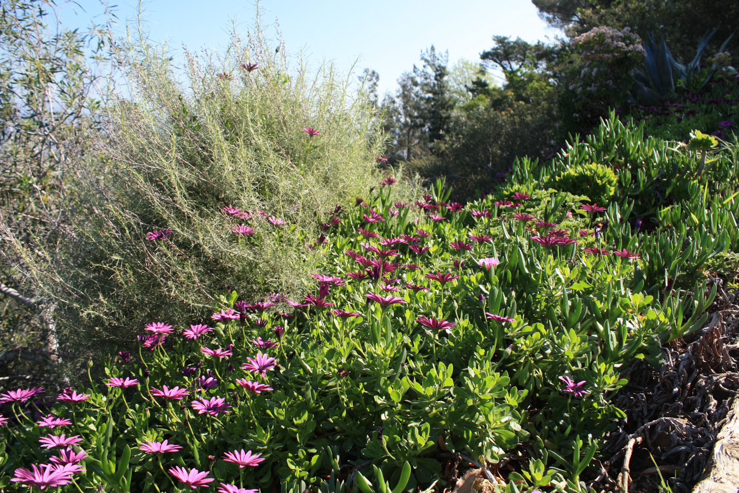
Although it is possible to hike this trail year-round, it is especially lovely after a few good winter rains. In the spring, the hillsides turn verdant green, and blooms of all types dot the landscape.
Continue heading up on the fire road until the 0.43 mile mark, when you’ll note the plant life takes on a more manicured look.
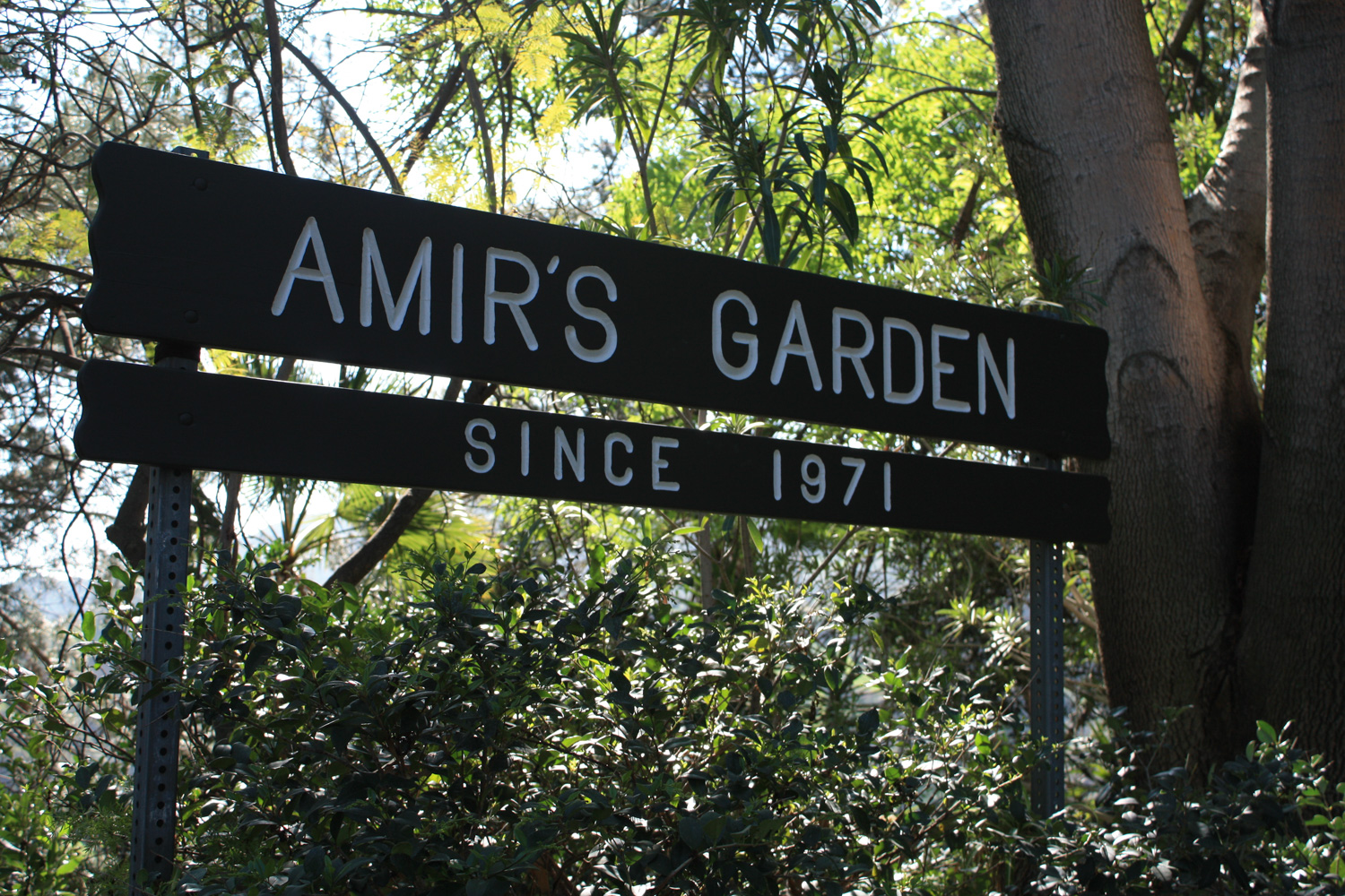
You have now officially entered Amir’s Garden.
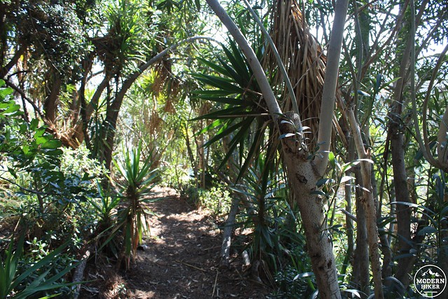
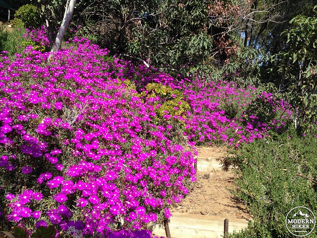
Modern gardeners may balk at the appearance of exotic species mixed in with the native flora here, but it’s important to remember that when Amir started this garden in 1971, what we now know as native gardening hadn’t really entered the mass consciousness yet. So you’ll see native agaves mixed with jade plants and banana trees and other succulents and thirsty plants. It’s also important to remember that the are does serve utility as a firebreak – and keeping the area hydrated serves as an important fire safety measure.
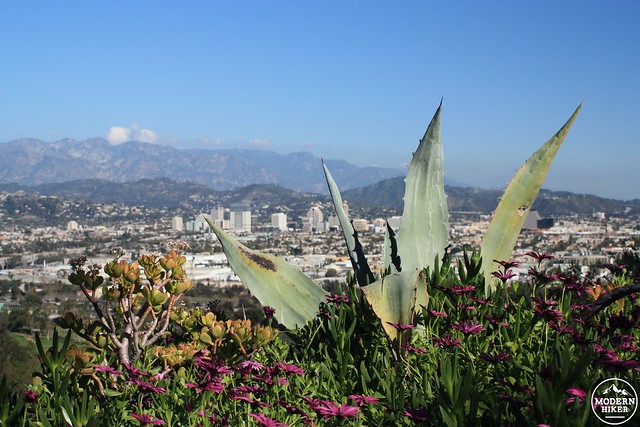
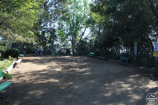
The Garden’s main rest area sits right at the top of this stretch of fire road just off of a sharp turn in the road itself. There are numerous benches and planters – many designed and built with reclaimed materials by Amir himself. A recently-installed water fountain provides a bit of respite for thirsty hikers as well.
Working with no budget and often by himself, Amir used discarded and unwanted items wherever he could – both for aesthetics and for function. Old park benches form the backbone of many of the older terraced sections, and you’ll spot drainage grates, old water pipes, and other seemingly trash items turned, as they say, into another man’s treasure. The whole place has a similar folk-art vibe with places like Watts Towers and Nitt Witt Ridge, albeit with a slightly more natural touch.
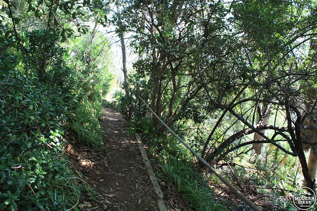
Enjoy the shade and benches at the central garden plaza, then take your time exploring some of the side trails and terraces in the garden’s sloped areas, too. You can sort of explore on your own here, enjoying the various sections of tropical and native plants. Do please take special care not to cut any switchbacks or blaze your own trails through the steep garden area as this will greatly increase erosion – and also be on the look out for exposed irrigation pipes.
This should go without saying, but also please don’t take any of the plants. When the caretaker and I were hiking up, we saw a woman trying to carry a large piece of a jade plant down the hill.
The Garden has several additional access trails, including a steep route that will take you back down to the intersection of Griffith Park Drive and Camp Road and another trail that heads toward the Boys’ Camp itself.
In addition to serving as a lovely shaded rest area, the Garden also serves as a memorial to some of Amir’s friends and family, as well as other people who’ve volunteered in and cared for the garden over the years. A large pine tree right at the entrance is named for Amir’s friend Spike, and for years served as Amir’s outdoor Christmas tree during the holiday season.
A nearby pine is named Otis, and there is also a young chitalpa tree somewhere in the Garden dedicated to the one and only Huell Howser.
If you travel past the Garden on the fire road for a short distance, you will notice the road is flanked by another series of planted pine trees.
During the Great Depression, thousands of people were employed in Griffith Park as part of the Reconstruction Finance Corporation, a government program that paid unemployed people as laborers. On October 3, 1933, 3,780 laborers were working in Griffith Park clearing trails and performing maintenance. Before the winter rains set in, the chaparral and brush was bone-dry, and it didn’t help that Santa Ana winds has started to bluster into the region. The temperature at noon was already over 100 degrees.
At 2:10 PM dense smoke was reported at the mouth of Mineral Wells Canyon, just below the road you’re standing on now. The unskilled firefighters (working without flowing water) rushed to the site of the blaze and attempted to extinguish it with shovels, but the blaze quickly rushed 50 feet up the canyon, igniting trees and sending embers scattering into the dry chaparral in all directions.
Crews were leveling a dirt road in the area, and work bosses urged the builders to rush to the fire to try to stamp it out and set backfires to halt the main fire’s advance. By the time the Fire Department arrived, the Fire Chief said there were about 3,000 workers trying to fight the fire in Mineral Wells Canyon and nearby Dam Canyon – and that he couldn’t both fight the fire and guarantee the safety of the unorganized laborers.
Shortly thereafter, the wind turned the fire on the workers and turned their backfires into deadly infernos of their own. Crews were cut off, surrounded, or completely engulfed. Some who did survive hid under planters or in the swimming pool at the girl’s camp (now a boy’s camp) deeper in the canyon. When the fire was finally put under control that night, death toll estimates varied wildly. Eventually the city settled on 29 deaths (along with hundreds of injuries). It remains the deadliest wildfire in Los Angeles history and one of the deadliest in American history.

The destroyed slopes of Mineral Wells Canyon, October 4, 1933. Amir’s Garden is now on the burned peak closest to the viewer. Image from USC Digital Library
A memorial tree and plaque were dedicated near Griffith Park’s Vermont Canyon entrance, but were lost due to time and re-landscaping efforts.
Today, however, the 29 trees planted along this nondescript fire road commemorate the 29 firefighters who lost their lives in the canyon below in that 1933 fire.
Enjoy the views around you and return back the way you came. And consider a quote from Amir on the day the city formally placed a sign at his garden’s entrance in 1983:
“This country was built by volunteers. I believe everyone should do something for his community…. I built a garden.”
Additional historical resources:
- Los Angeles Fire Department’s Historical Archive on the 1933 Fire
- Amir’s Garden page
- 1996 L.A. Times article on Amir’s Garden
- L.A. Times article on the 1933 fire
Note: This trail is transit accessible via Metro Bus Line 96. The closest stop is at Crystal Springs / Griffith Park, which is about a 1.2 mile walk along the road. Alternatively, you can also hop onto the eastern section of the Griffith Park Northside Loop Trail.
Tags: amir's garden, burbank, glendale, Griffith Park, history, Los Angeles, Mineral Wells, transit accessible, wildfire


