The fifth in a series on hiking the Annapurna Base Camp trek in Nepal with Active Adventures.
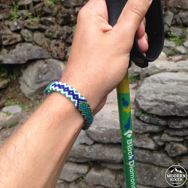
In the morning at Chhomrong, we were sent off by our teahouse hosts after every one of us was given a Tibetan knit bracelet for a safe journey to Annapurna Base Camp and back. Traditionally, you’re supposed to wear these bracelets until they fall off on their own, and I’m happy to say that mine still sits nicely on my wrist even today.
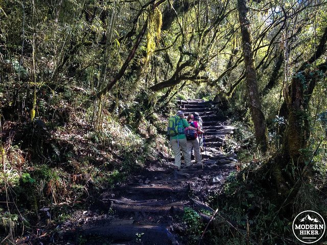
Earlier in these Nepal posts I talked about the concept of the Nepali Flat — and nowhere is it more apparent than between Chhomrong and the neighboring village of Sinuwa. From Chhomrong, looking further up the canyon, Sinuwa only appears slightly higher than the village of German bakeries. Chhomrong sits at 2,170 meters (7,119 feet) while Sinuwa is at 2,360 (7,742 feet). However, to get from one village to the next, hikers must descend a seemingly never-ending staircase down to the Chhomrong Khola’s canyon then all the way back up and then some.
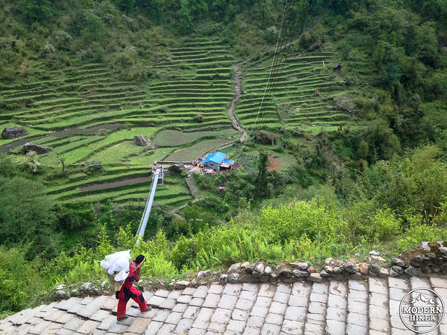
Near the end of the descent, a suspension bridge crosses the Khola just before the climb back up
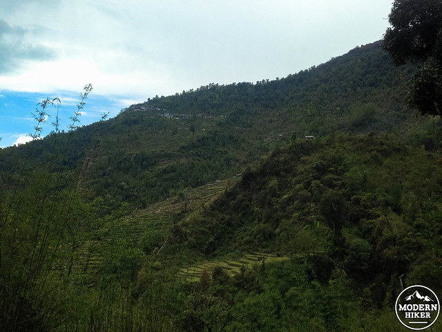
Looking back up at Chhomrong
I will be honest say that this was one of those hiking days where, as you trudge along your journey, you don’t find that state of blissful walking meditation but rather have your head filled with thoughts like “Wait, I’m doing this for fun?” and “Why did I ever decide to get into hiking in the first place?” It definitely didn’t help when we got caught in torrential, driving rains on the climb up, either.
But, as they say, the peaks don’t have as much meaning without the valleys – and we trudged along the route soaked and shivering, some extra cups of hot ginger tea were especially welcome at Sinuwa. We listened to the rain pelt the tin roofing, deafening any attempt at conversation. Weary, rain-drenched glances communicated everything that needed to be said.
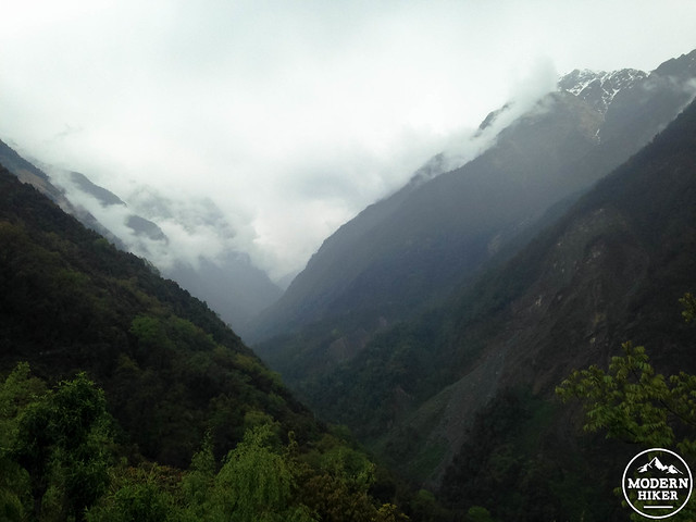
As we geared up to continue our trek, the rain mercifully moved north, revealing sunny skies behind us while once again obscuring the peaks ahead.
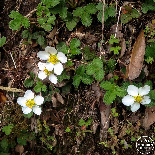
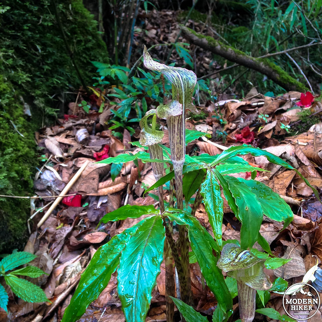
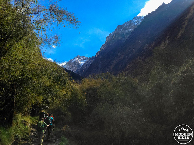
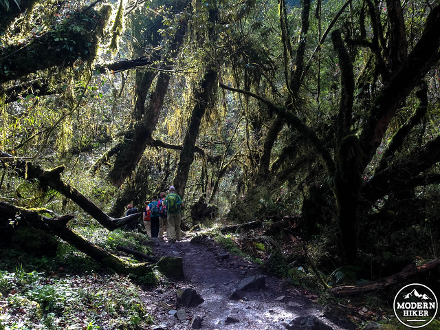
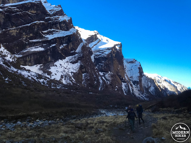
The trail past Sinuwa climbs through thick forests of ferns, orchids, and towering rhododendron forests. If you’re only used to seeing these plants in their common shrub size, you’ll probably be a little taken aback once you see them growing in their favorite conditions. 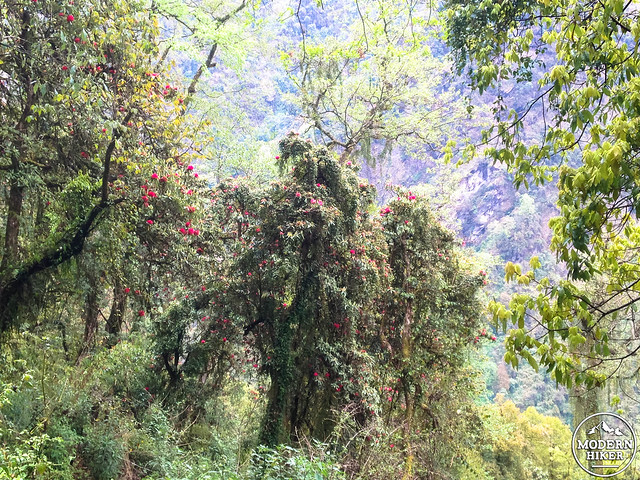
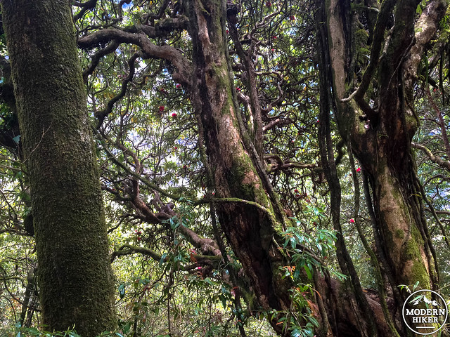
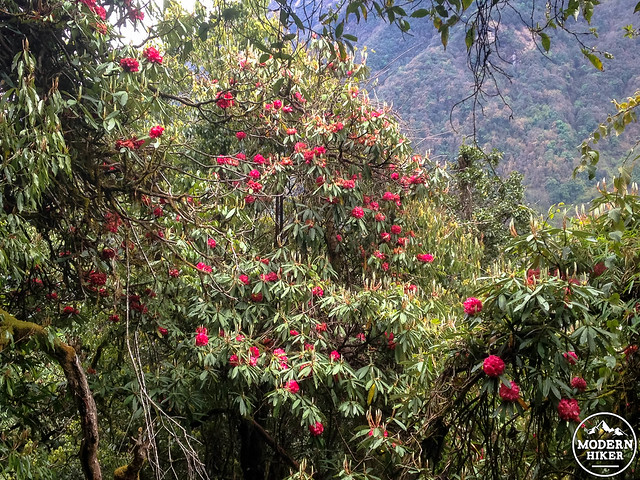
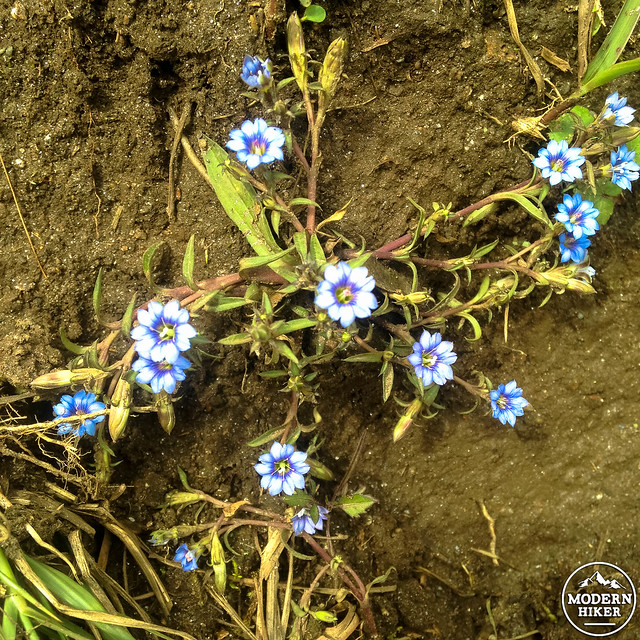
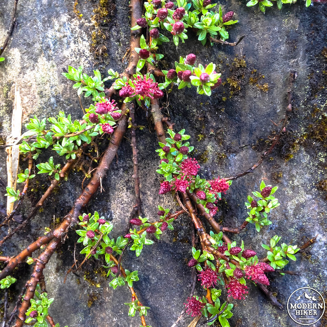
This part of the trek has a very “Pacific Northwest” feel to it. You’re basically hiking through clouds at this point, so the air is cool but humid. Plants literally grow on top of each other, and everything that isn’t a plant is probably covered in moss. Although you’re probably here to gawk at the highest peaks on earth, this is a good time to remember that sometimes the little things on treks like this can be just as beautiful.
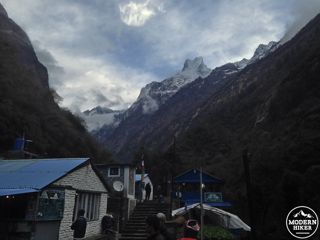
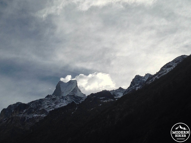
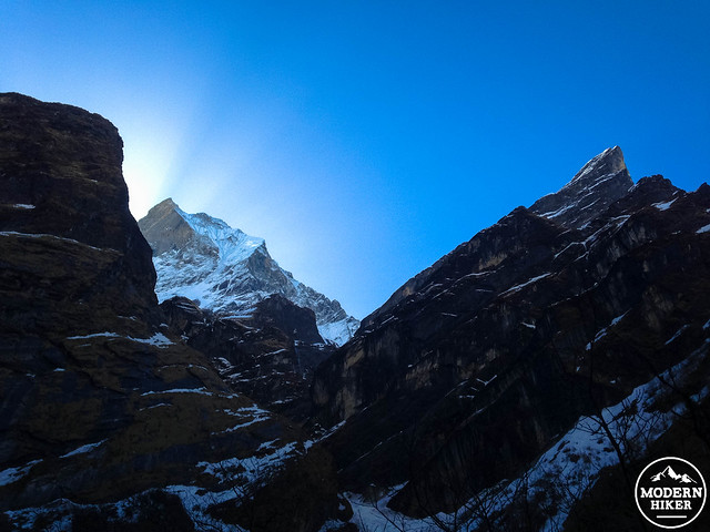
By the time you make it to Dhoban, you’ll have hiked about 7.1 miles (11.5 kilometers) and earned whatever giant pile of delicious food you decide to down for dinner here. If you’re lucky, the clouds will break and reveal the form of Machhapuchare above. Or you may just have to wait until the next morning like we did. The wait was worth it, though, as sun seemed to beam directly behind the fish tail peak, calling us forward like a beacon. Definitely not the worst way to wake up on a brisk, cool mountain morning. 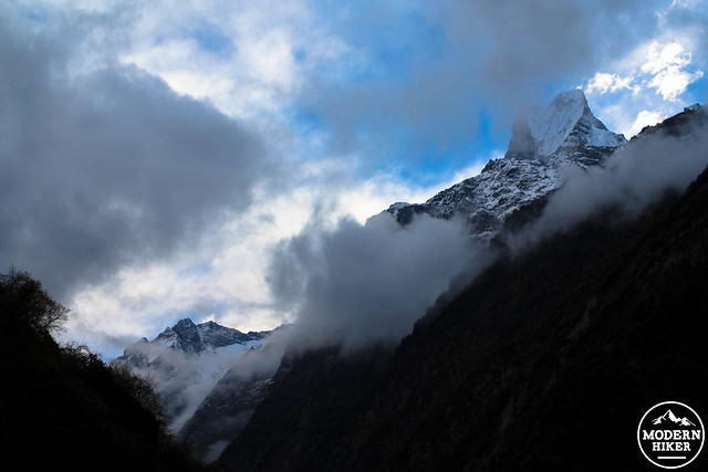
Because we were now waking up above 8,500 feet and set to sleep at 10,597 feet that night, the next two days are built to be pretty low-key. It’s only about 6.2 miles from Dobhan to Machhapuchare Base Camp, but Active splits that chunk up into two days to allow for adjustment to the altitude and a little wiggle room in case some inclement weather sets in.
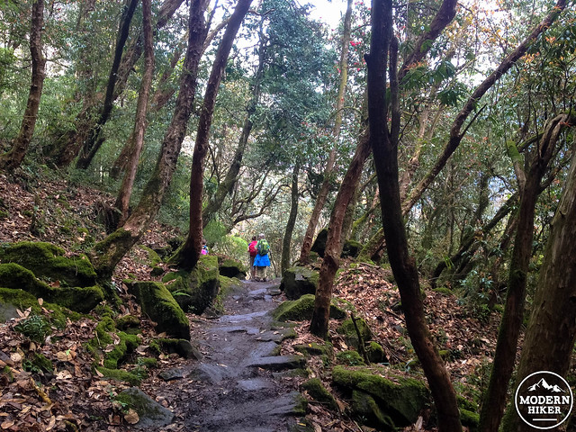
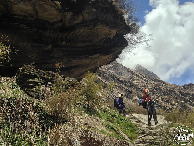
The trail between Dobhan to Deurali is through a gorgeous stretch of bamboo and rhododendron forest. Occasionally the mountain tops peek through the tree cover — and if you keep your eye open you may also spot some langur monkeys hiding out on the branches.
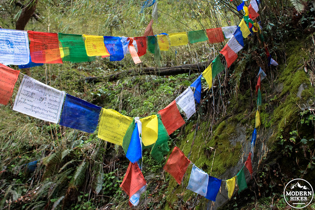
North of Dhoban, you’ll pass a small shrine directly on the trail itself. There may be lit candles or incense inside the shrine, and the colorful and ubiquitous prayer flags are tied up throughout the tree canopy. As you pass, keep the shrine on your right — travel around Buddhist and Hindu shrines is always done in a clockwise direction. 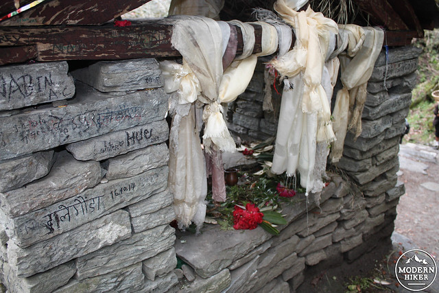
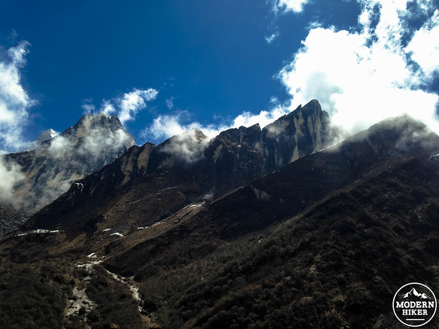
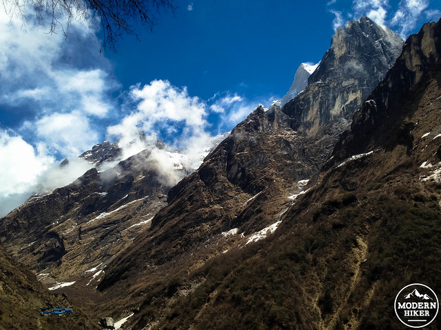
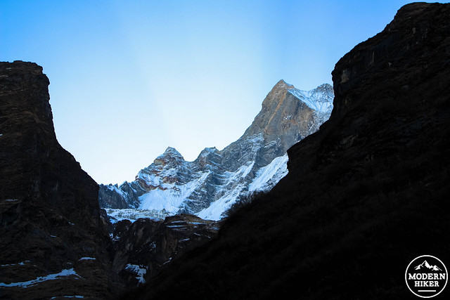
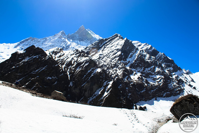
More epic landscape views await once you’ve left most of the tree line behind you. Vegetation thins out considerably just south of Deurali. Machhapuchare looms to the east and there are great views from the Hinku Cave, a shelter used by yak herders for centuries. 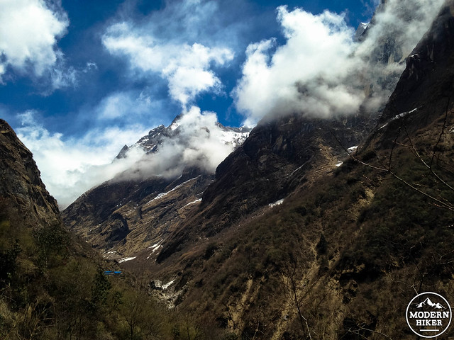
After this steep hike, it’s just a short trek across a snowfield to Deurali, where caffeine addicts will be thrilled to find an actual, honest-to-goodness espresso machine at the New Panorama Guest House.
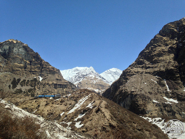
On the next day, you’ll wake up at 10,500 feet and finally get above the treeline on your way to Machhapuchare Base Camp at 12,140 feet. Because the trees are just about gone now, the views of the mountains will be truly spectacular. Just north of Deurali, the trail hops across the Modi Khola to avoid an area where the old trail has been completely covered by avalanches. 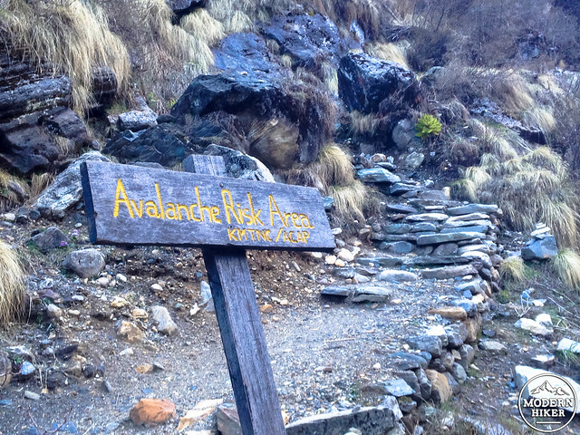
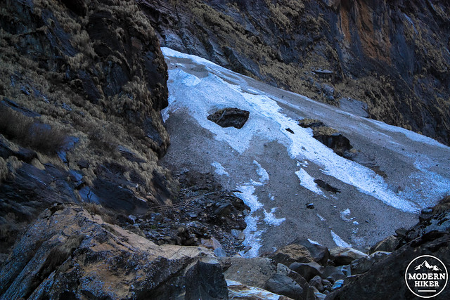
In the lower center of this image, look for the wooden guard rail that marks the path of the old trail.
The sun hits the mountain peaks here before it fills the valley, meaning those mountaintops look — somehow — even more majestic when you’re walking toward them. If you are blessed with a clear day, be sure to watch the very tops for trails of snow being swept off their towering slopes. 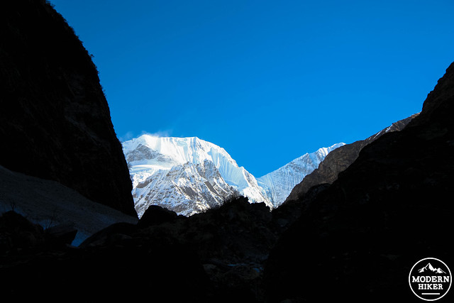
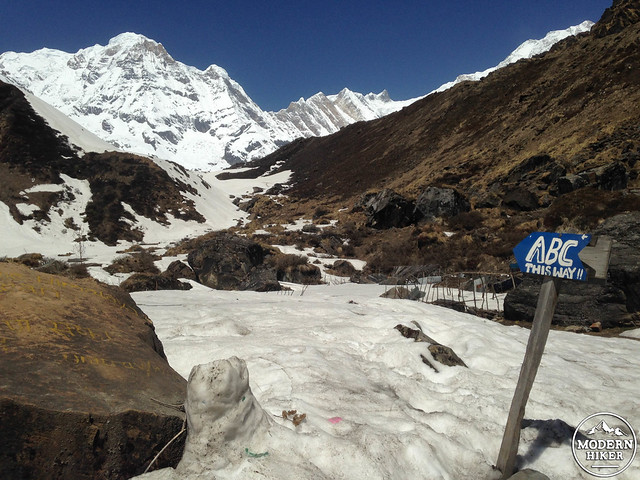
Machhapuchare Base Camp is just up ahead. From here, you’ll take another easy day to acclimatize to the altitude (now you’re up at 12,140 feet / 3700 meters). Soak in the views, drink some hot cocoa when it gets cold, play a rousing game of dumbal or spoons with the porters and your fellow travelers.
Summit day is tomorrow.
Active Adventures provided this trip to Modern Hiker at-cost, excluding airfare. They did not exercise any form of editorial control or direction over posts on the site.
Tags: annapurna base camp trek, himalaya, Machhapuchare Base Camp, nepal