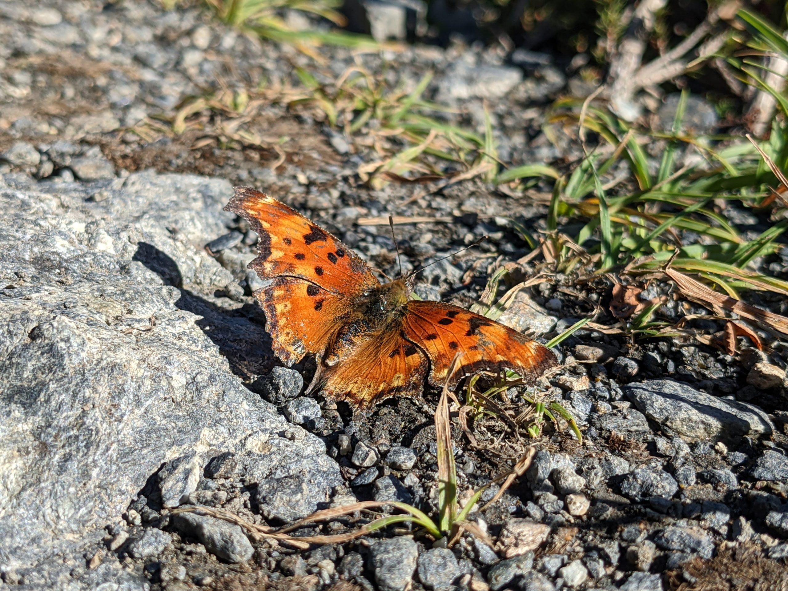
Yellow Aster Butte is a classic North Cascades trail located in the Mount Baker Wilderness. Hike here July-August for wildflowers, or September-October for bright fall colors. Save this popular trek for a sunny weekday if you can. Incredible views of Mount Baker, Mount Shuksan, and surrounding peaks make for a very busy trail on summer weekends.

Hiking Yellow Aster Butte Trail
Yellow Aster Butte Trail begins in the forest, climbing steadily from the starting line. Switchback through exposed, brushy meadows before returning to tree cover, gaining elevation with every step.

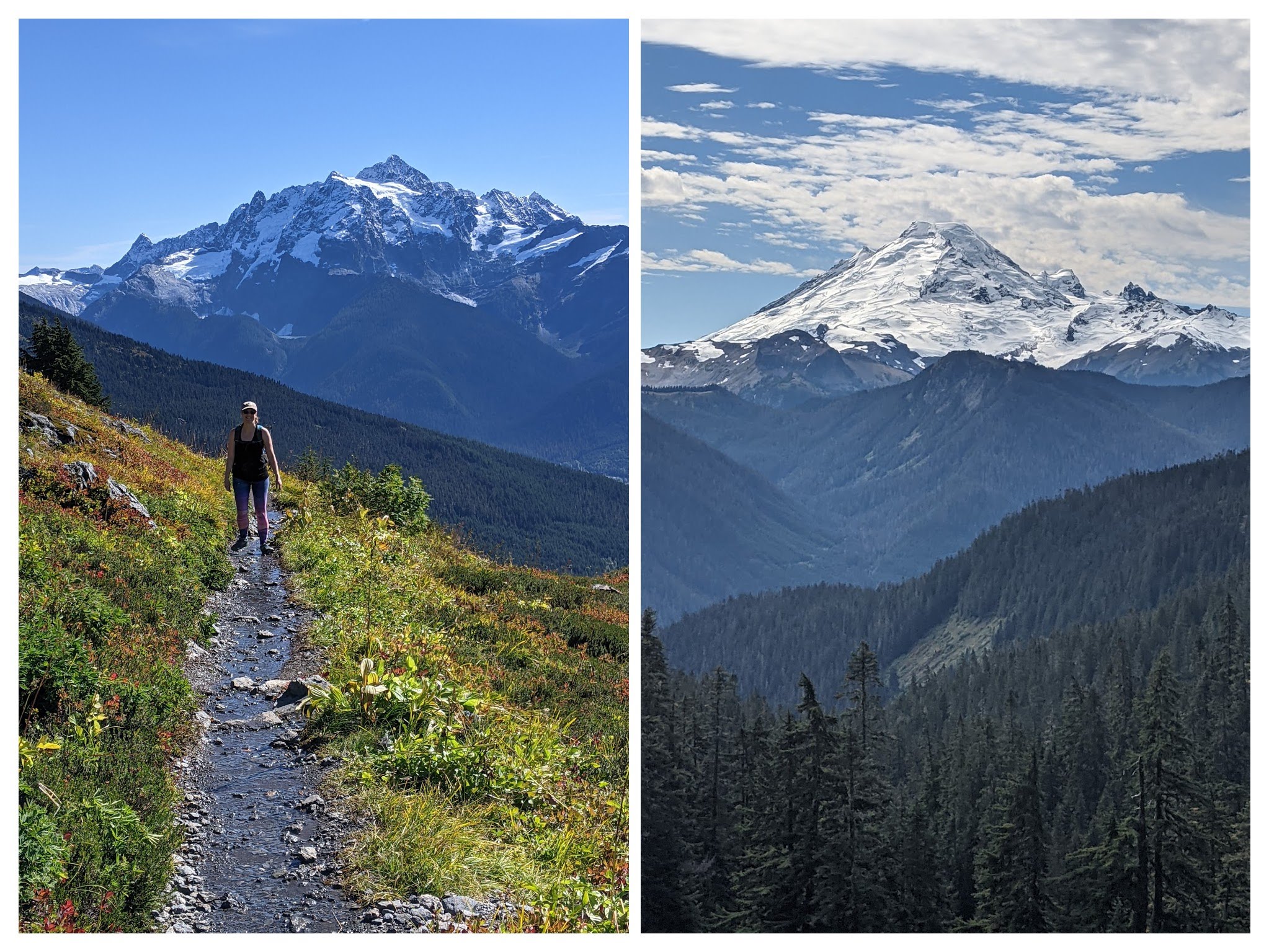
10,781’ Mount Baker comes into view the higher you climb — if you’re visiting on a clear day. The picturesque peak will be your constant companion on Yellow Aster Butte Trail, along with Mount Shuksan and countless others.

Gain steadily for 1.8 miles to the junction with Tomyhoi Lake Trail. Stay to the left here for Yellow Aster Butte. The trail flattens out for the next mile, turning westward through boulder-strewn meadows.

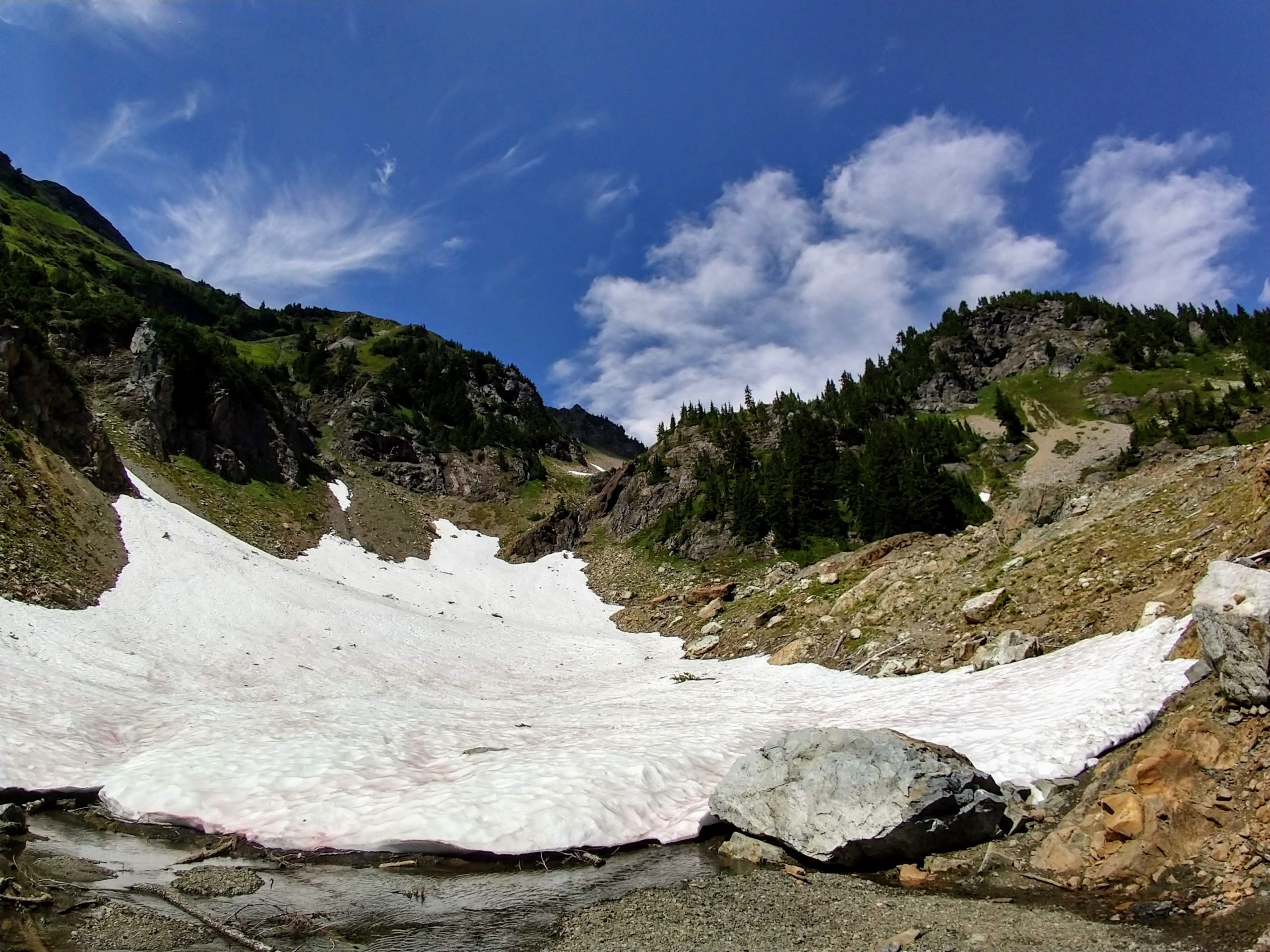
At 2.6 miles, drop into a basin beneath the butte. Snow often lingers here well into the summer months, and you’ll likely have to rock-hop your way across snowmelt streams. This little dip in the trail is a great place for a snack and water break before resuming your climb.

Continue upward for another mile, rounding the base of Yellow Aster Butte. Views open up to the south and west, with mounts Baker and Shuksan dominating the skyline.

Mount Shuksan (left) and Mount Baker (right).
At 3.7 miles, the trail splits and presents three choices. You can call it a day, enjoying lunch from a north-facing overlook with views of Yellow Aster Butte, the American and Canadian Border Peaks, and Tomyhoi Mountain. This is where we chose to turn around on our most recent visit to the butte, making for a 7.4-mile roundtrip hike with 2,100 feet of elevation gain.

Border Peaks and Yellow Aster Butte from the junction overlook.
If you’d like to ascend the butte, turn right at the junction and scramble up 400 feet in 0.2 miles to the top. This steep climb rewards with 360-degree views, including Winchester Mountain and Mount Larrabee.
Finally, you can turn left at the junction and drop 200 feet to the tarns below. This is a popular backcountry camping area on summer weekends. Please stay off of the fragile meadows here, and only camp on durable surfaces.

If you can’t decide which way to go, let the conditions help you choose. On a clear, blue-sky day, it’s worth going to the top of the butte for Mount Baker Wilderness vistas. The overlook beneath the butte is a good early bail-out option if you’re feeling tired, or if the views are socked in. And the tarns are best for backpacking, or to beat the midsummer heat.

Tags: mount baker, Washington State, Yellow Aster Butte North Cascades National Park