The North Rim of the Grand Canyon differs dramatically from its more popular southern counterpart due to its higher elevation, remote location and forested scenery. At about 8,000 feet, the trails of the North Rim are often shaded and 10-20 degrees cooler than the South Rim, making the area a prime hiking destination even in the summer months. The Widforss Trail exemplifies the North Rim’s characteristic landscape and provides expansive views of the Grand Canyon throughout the journey, ending at spectacular Widforss Point.
Widforss Trail’s namesake is Gunnar Widforss, who painted many landscapes around Grand Canyon National Park in the early 1900s. At the start of the trail there are maps that detail the geologic and natural features along the trail that Widforss depicted in his paintings, including aspen groves, ponderosa pines and rock formations.
There is ample parking and a single restroom at the trailhead.

Parking lot and restroom
The Widforss Trail sign is to the left and the box of maps are to the right. Even though temperatures are cooler along the North Rim, bring plenty of water and start early to avoid excessive heat, especially in the summer.

Trailhead
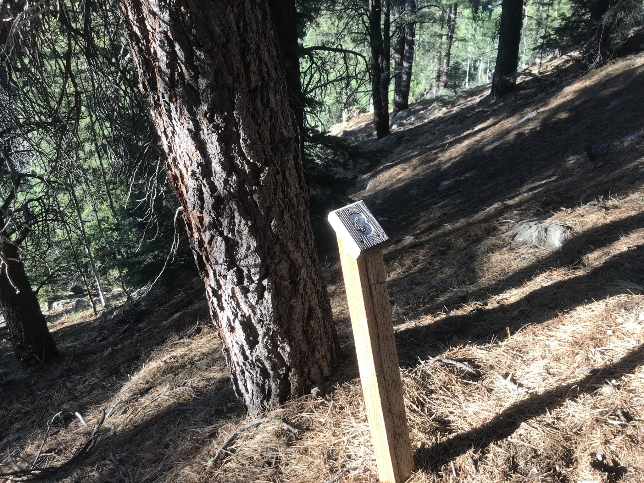
Look for these markers along the trail, which are cues to check your map for information about the flora and fauna of the area, as well as the natural processes that took place to form the Grand Canyon. Admittedly, we only found 8 markers.

Trail marker
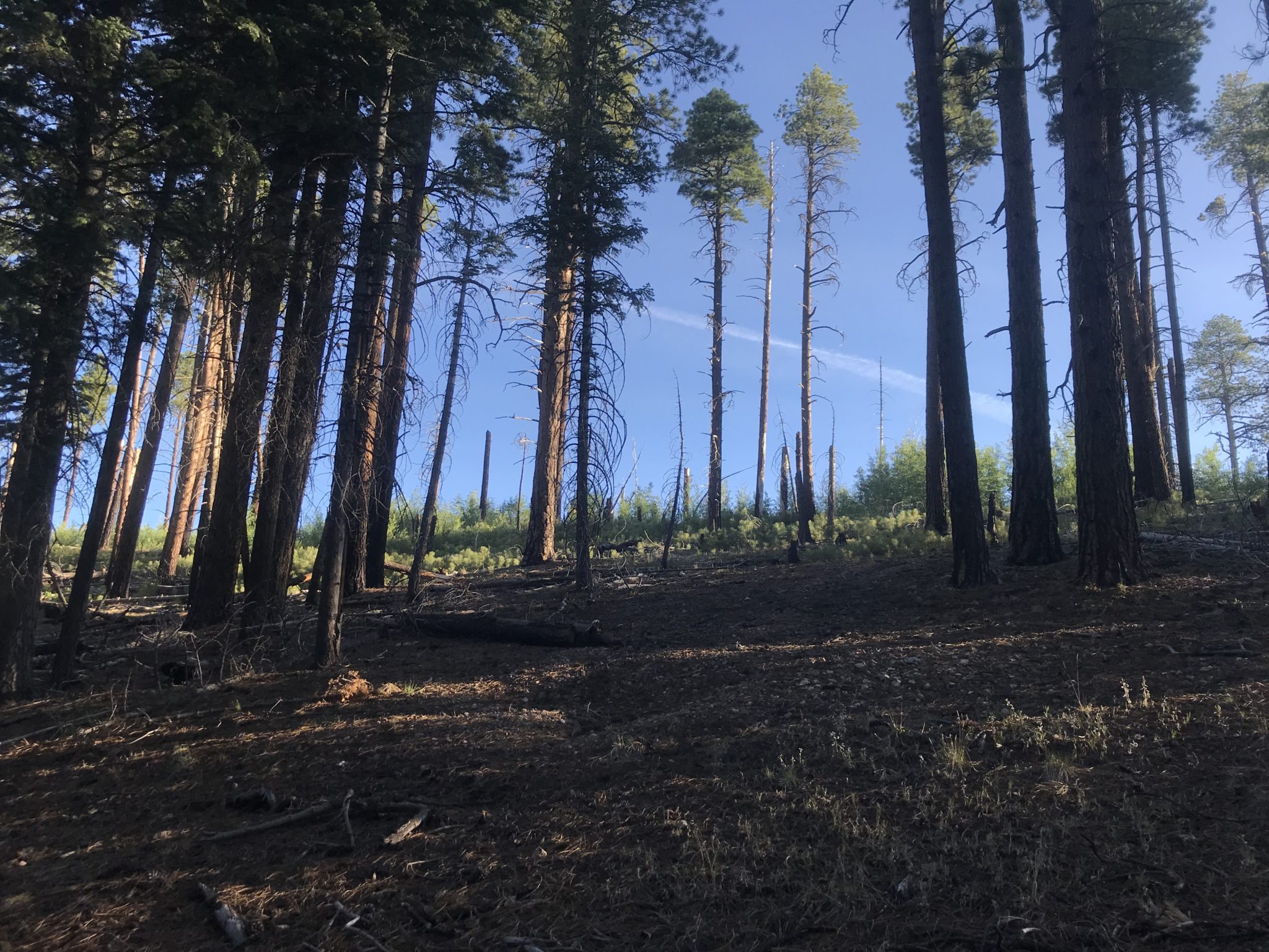
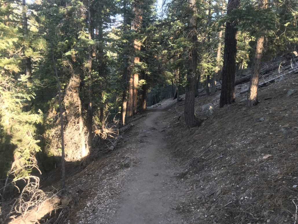
The trail gradually ascends into the forest toward the rim of the canyon.
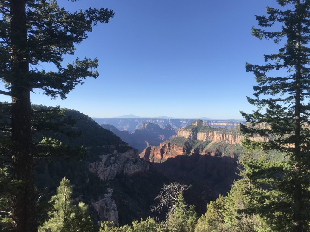
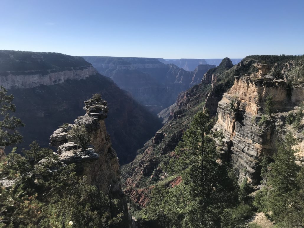
The first glimpse of the Grand Canyon through the trees occurs after about 1 mile.
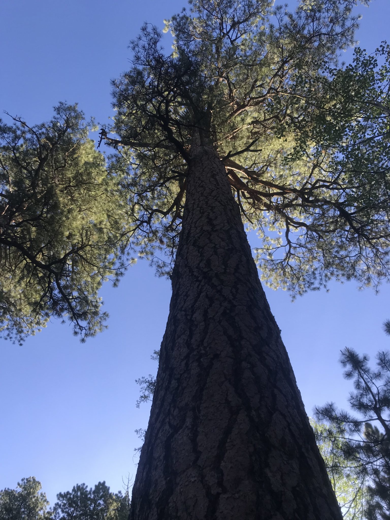
The ponderosa pines provide shade as you travel along the rim. There are a wide variety of trees along the trail, including aspen and scrub oaks.

Stop #10- one of the largest ponderosa pines near the trail
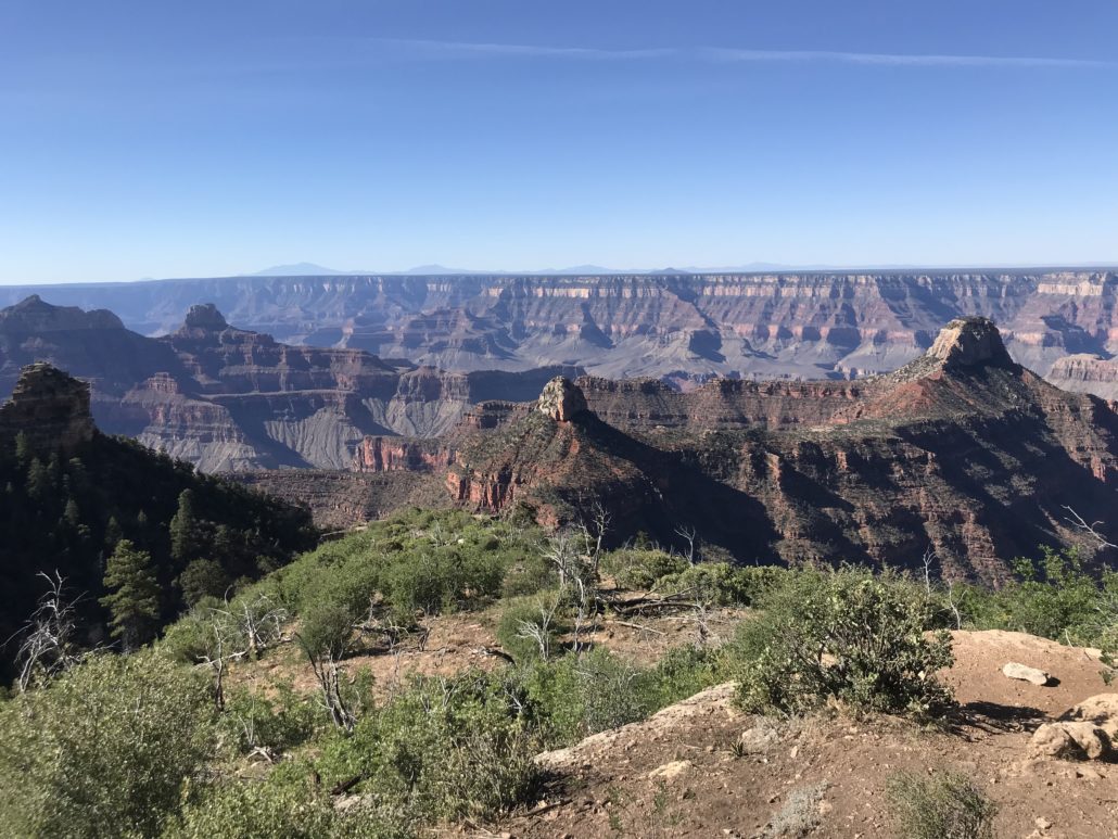
At 2.5 miles, the guided tour ends at stop number 14 (sculptured rocks). The view from the rocks provides a full view of this small section of the Grand Canyon.

From stop #14, you will travel into the forest for the remaining 2.5 miles to Widforss Point.

There are several more views of the canyon within the next 0.5 miles before the trail goes deeper into the forest.
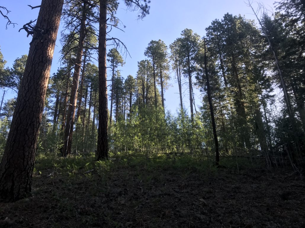
After 3.5 miles you pass through an aspen grove. The next 1.5 miles to Widforss Point meanders through the forest without much elevation change.

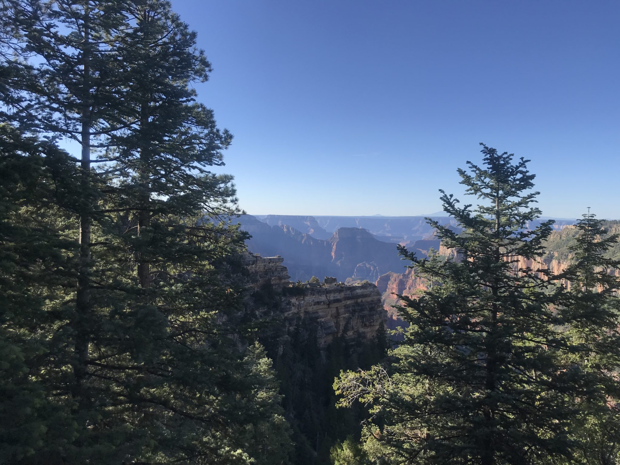
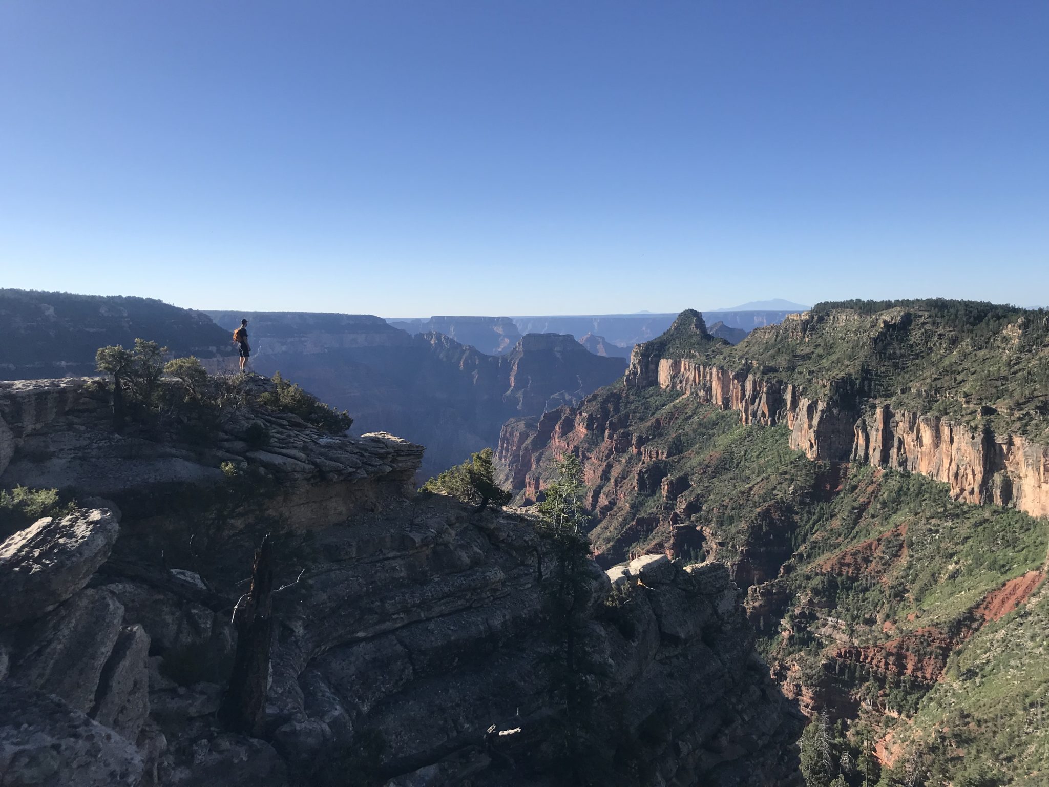
Finally, after 5 miles, you will reach the end of the trail – Widforss Point, with amazing views of the canyon toward the west.

Widforss Point

After taking in the splendor, head back in to the woods the way you came to finish your 10 mile round trip journey.
Tags: Arizona, grand canyon, Grand Canyon National Park, north rim, widforss