Bellingham’s favorite waterfall, Whatcom Falls, is for everyone. Dog walkers, trail runners, families, bikers, and hikers enjoy over 5 miles of trails at this city park, located just 10 minutes drive from downtown — one of the loveliest and most easily-accessed waterfalls on Washington’s I-5 corridor. The following suggested route is a highlight reel, good for exploring many of the park’s finest features in an hour or so.

Whatcom Falls from the stone bridge
From the trailhead, walk down the paved trail a short distance to Whatcom Falls. A stone bridge, built in 1940 by the Works Progress Administration, spans the creek here. This bridge’s repurposed Chuckanut sandstone materials once formed the arches of a downtown Bellingham building.

Winter at Whatcom Falls
Depending on the season, the falls may be booming (Whatcom is a Nooksack name meaning “noisy water”) or merely a late summer trickle. Whatcom Falls can swell to some 40 feet wide during rainier months, so visit fall-spring for the best flows.
After crossing the stone bridge, take a left at 0.1 miles for the Lower Gorge Trail. This trail gently loses elevation as it follows Whatcom Creek. Overhead, maple, cedar, and Douglas fir trees provide shelter from the elements — making Whatcom Falls a favorite place to walk rain or shine.

Whirlpool Falls in the fall
At 0.35 miles turn right at the junction, then continue straight at the next junction and follow the fenceline to another waterfall. The trail down to Whirlpool Falls — a summer swimming hole — is short and steep. Follow it down to the shore for a better view of the churning waters if you wish.
From the fence above Whirlpool Falls, ascend a staircase to the north. Turn right onto the main trail and follow it back to the first junction near Whatcom Falls’ stone bridge. Now at 0.75 miles, turn left, following the sign for Bloedel Donovan Park.
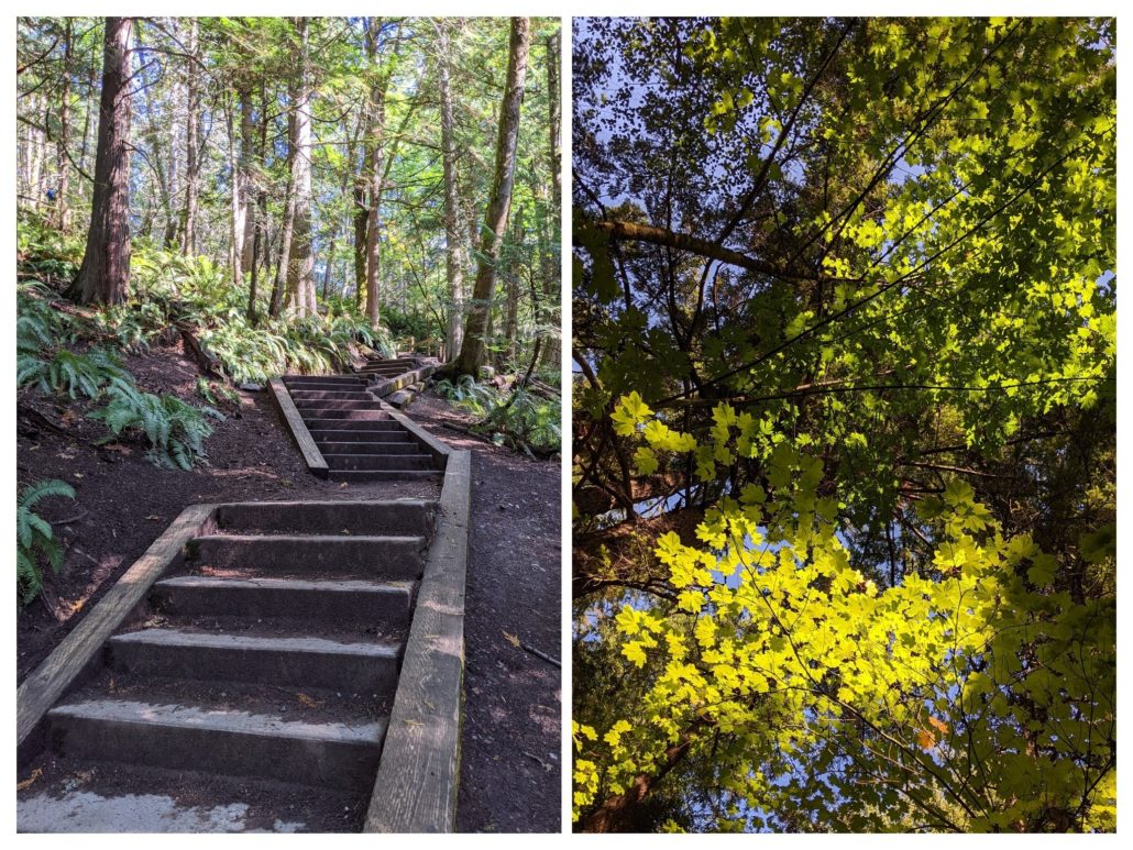
At 1.0 miles, climb a 60-foot staircase and turn right on the Whatcom Creek Greenway. Continue straight through a junction, then turn left at 1.2 miles, followed by an immediate right on the Railroad Trail. There are lots of intersecting trails in here, so feel free to take an alternate route.
At 1.35 miles cross the Railroad Trail Bridge. Turning left (north) leads to Bloedel Donovan Park on Lake Whatcom — the source of Whatcom Creek and Bellingham’s drinking water. Walking to the lake from here adds about 0.3 miles one-way (not included in our mileage), leading to an off-leash dog park and lakeside picnic area. Instead, turn right to head south from the Railroad Trail Bridge.

Historic train trestle
At 1.5 miles, the remains of a century-old train trestle stand over Whatcom Creek. Built in 1916, the trestle has deteriorated significantly over the years and is slated for removal in 2022. It once linked Lake Whatcom’s Larson Mill to Bellingham Bay. Cut from the shores of Lake Whatcom, timber was floated to the mill and transferred by train to the bay. Today, a temporary bypass routes park visitors around the trestle until its removal.

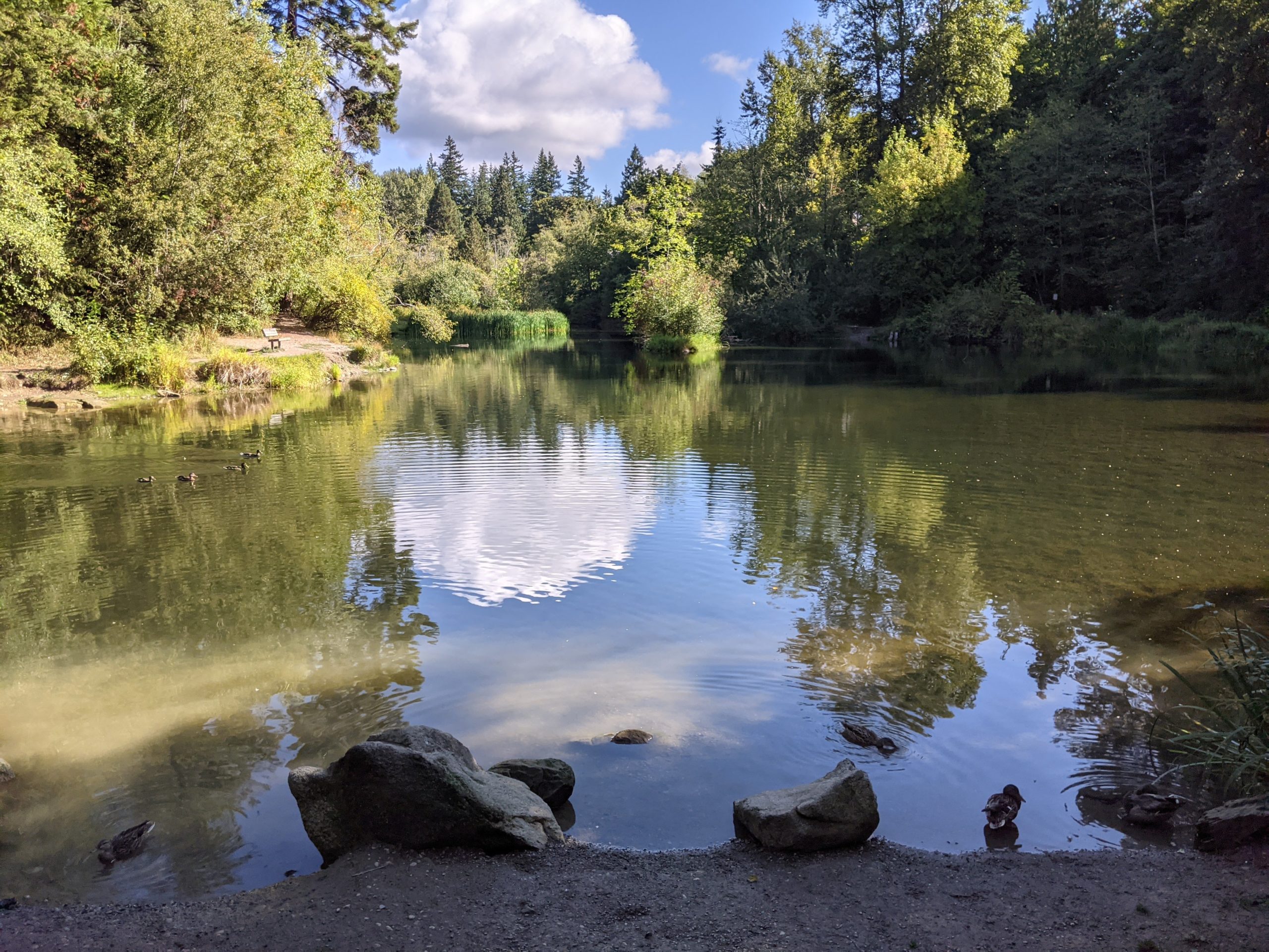
Derby Pond
At 1.75 miles you’ll come to Derby Pond, a tranquil duck pond open seasonally for youth fishing. From here you can follow the paved road south — past the fish hatchery — back to the parking lot.
Tags: Bellingham, washington, waterfalls, whatcom falls