The Veterans Park Trail is a local favorite hiking loop in the San Fernando Valley’s Veterans Memorial Community Regional Park, which crosses into the outer edges of the Angeles National Forest in the western San Gabriel Mountains. Veterans Memorial Park is a 97-acre park comprising picnic areas, children’s play areas, a frisbee golf course, a large pavilion, camping areas and a community recreation building. The park occupies the grounds of the original site of Veterans Hospital built in the 1940s, which was severely damaged in the 1971 Sylmar Earthquake. In 1972, the government transferred ownership of the property to Los Angeles County, and after demolition and rebuilding, Veterans Memorial Park was dedicated in 1979.
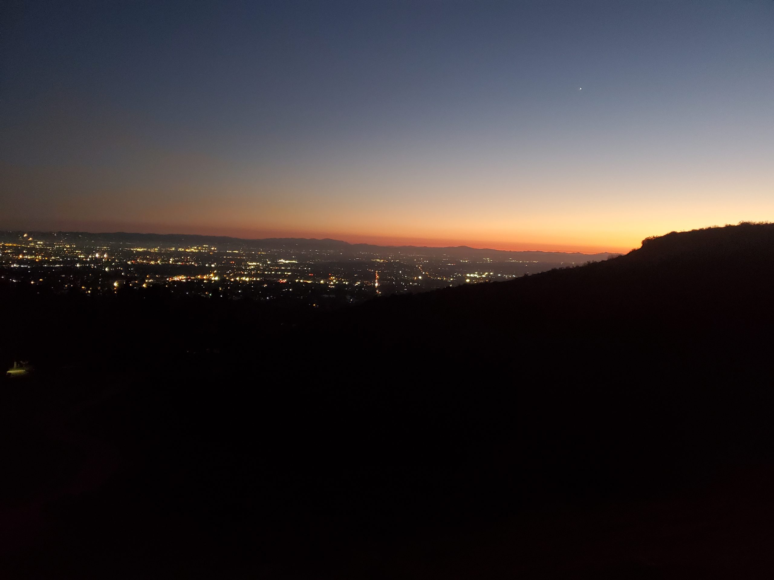
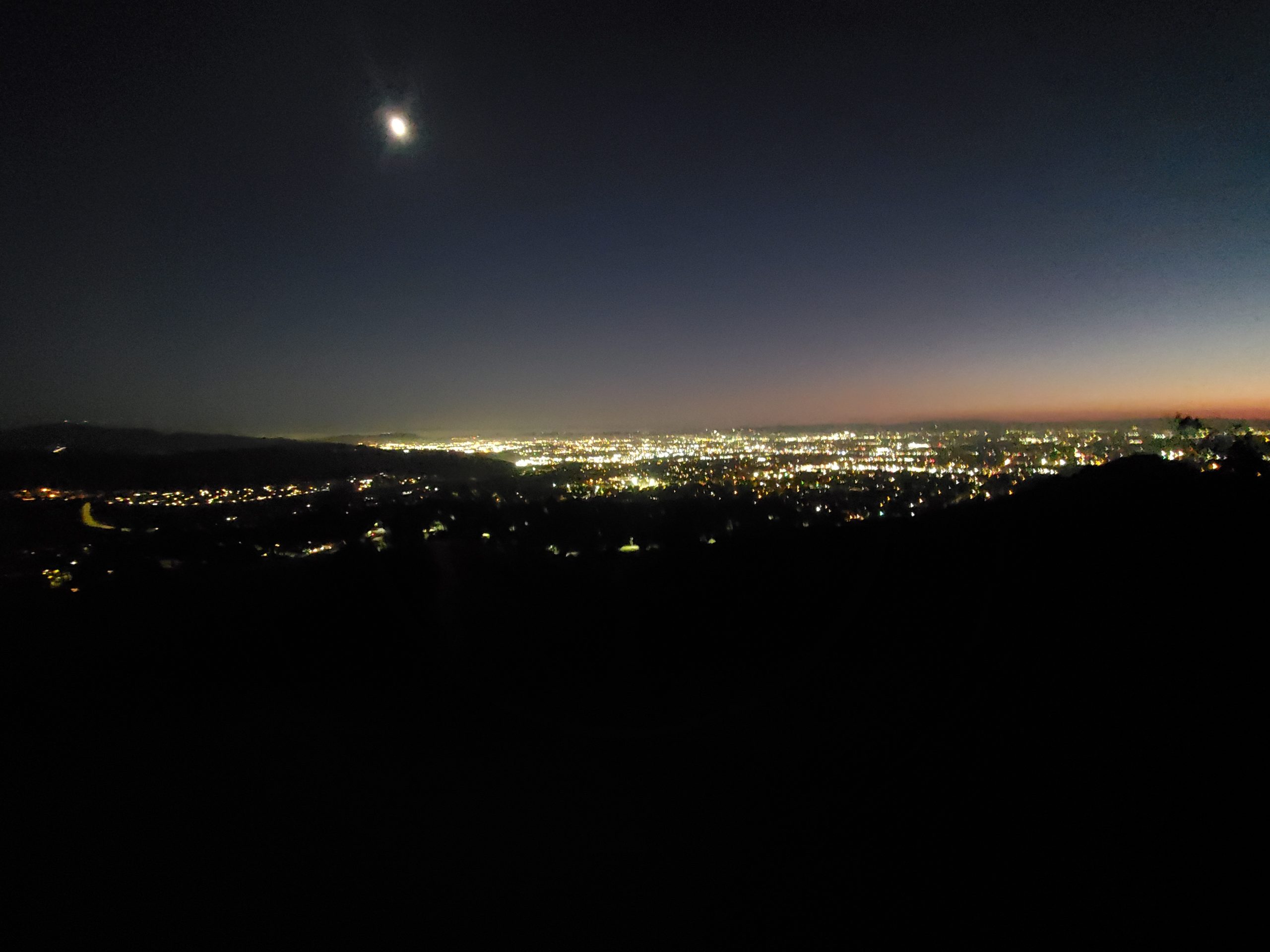
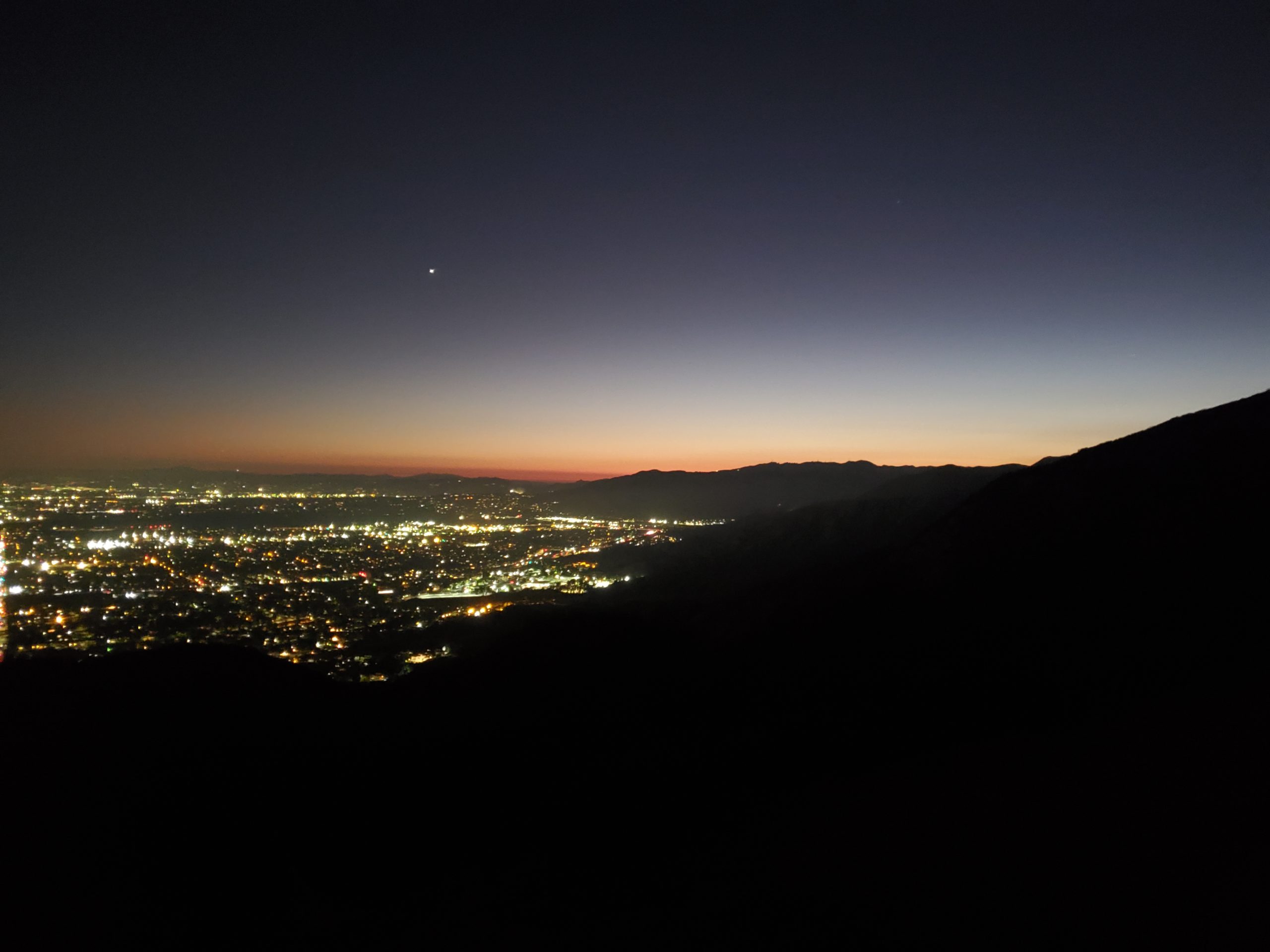
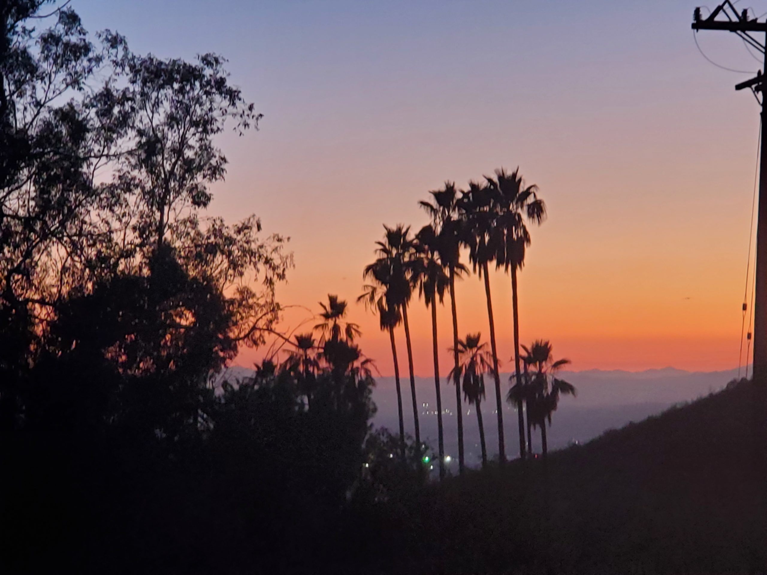
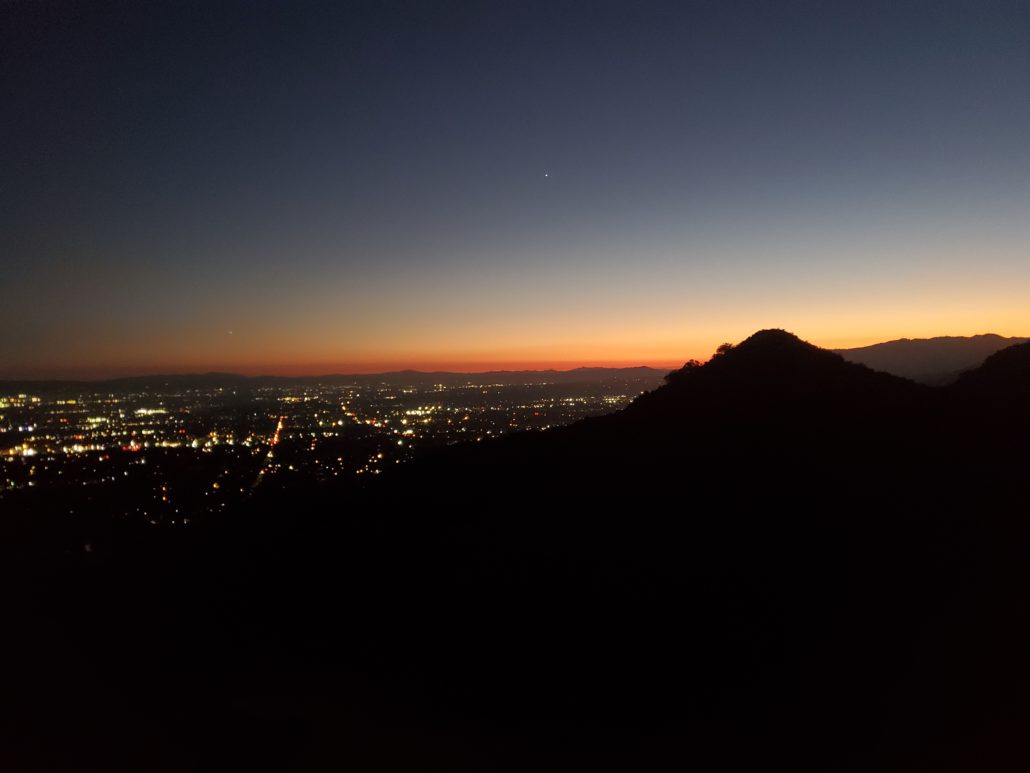
This dog-friendly hike can be completed in 1-1.5hrs, which makes it a great choice for a beginner’s hike or weekday adventure. The highlight of this trail is the view you’ll earn from the summit, which overlooks the San Fernando Valley and downtown Burbank after a sizable elevation gain.

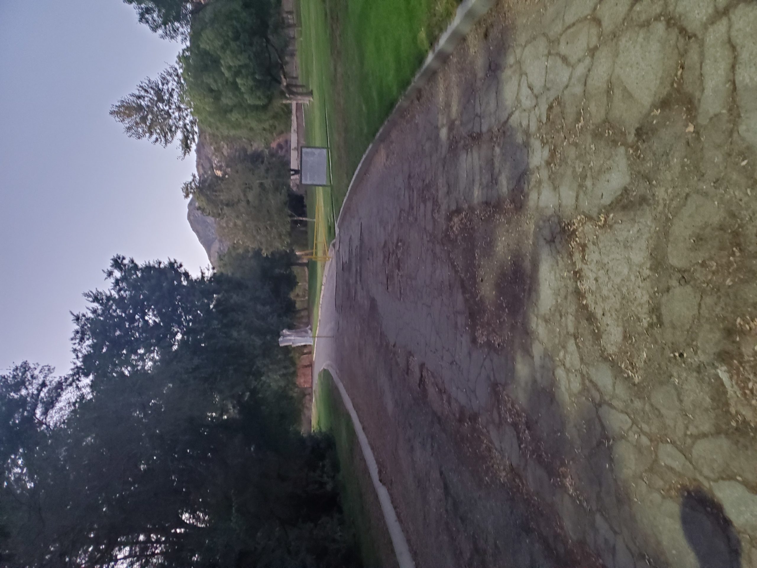
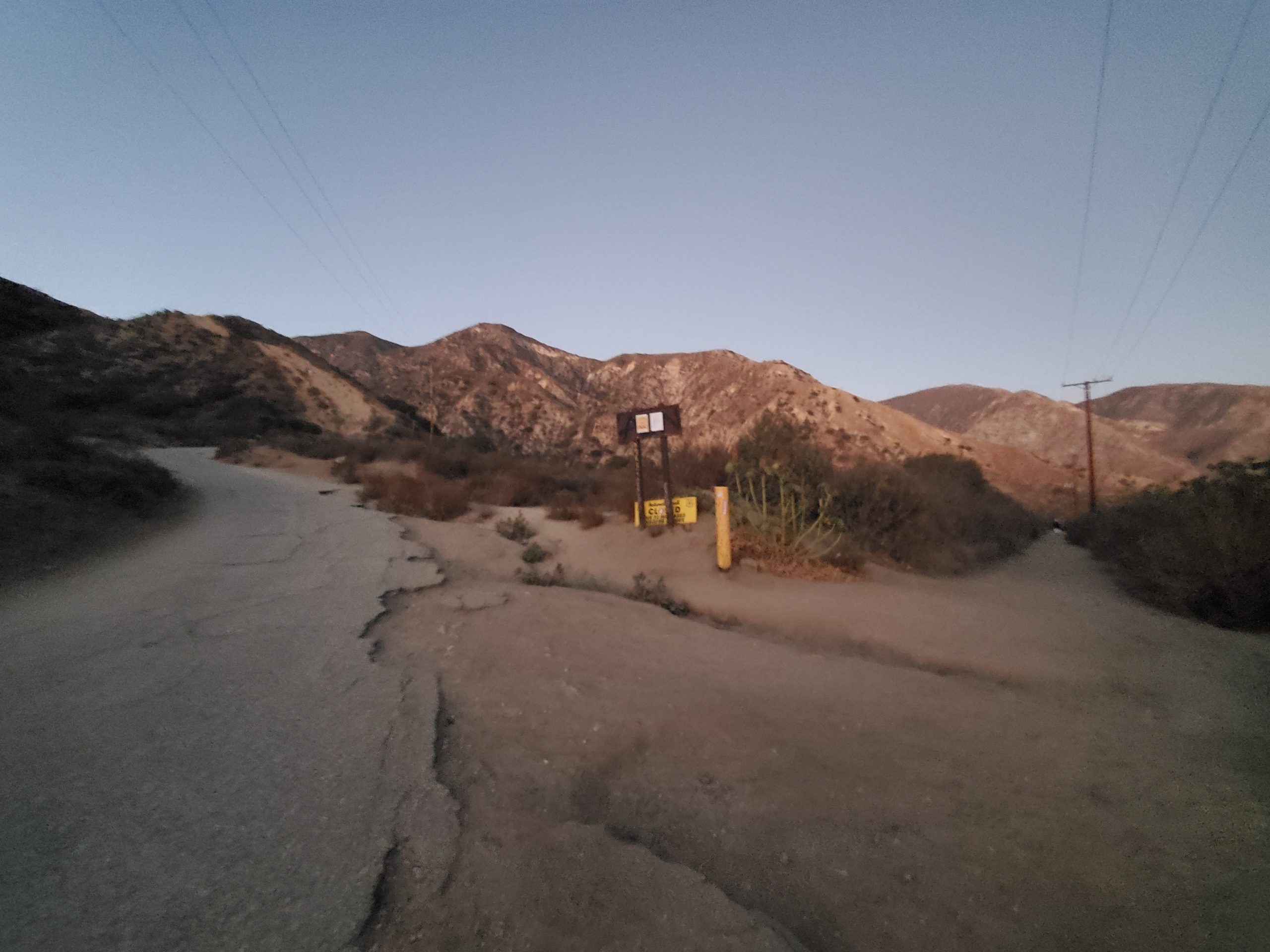
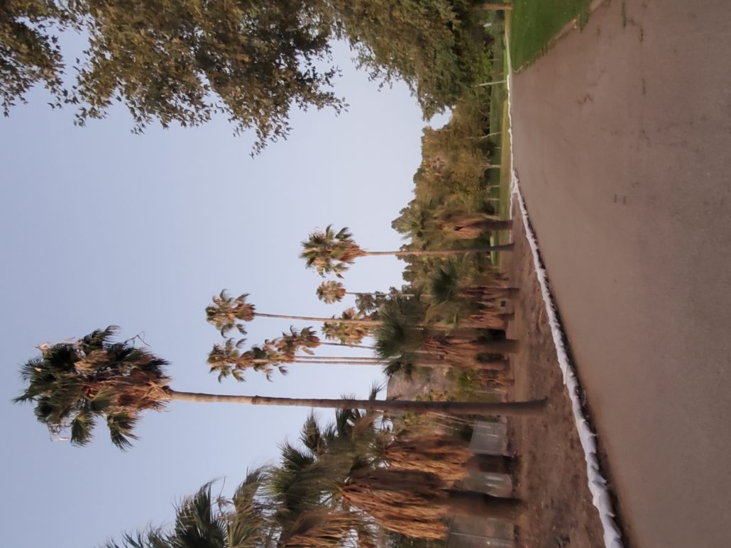
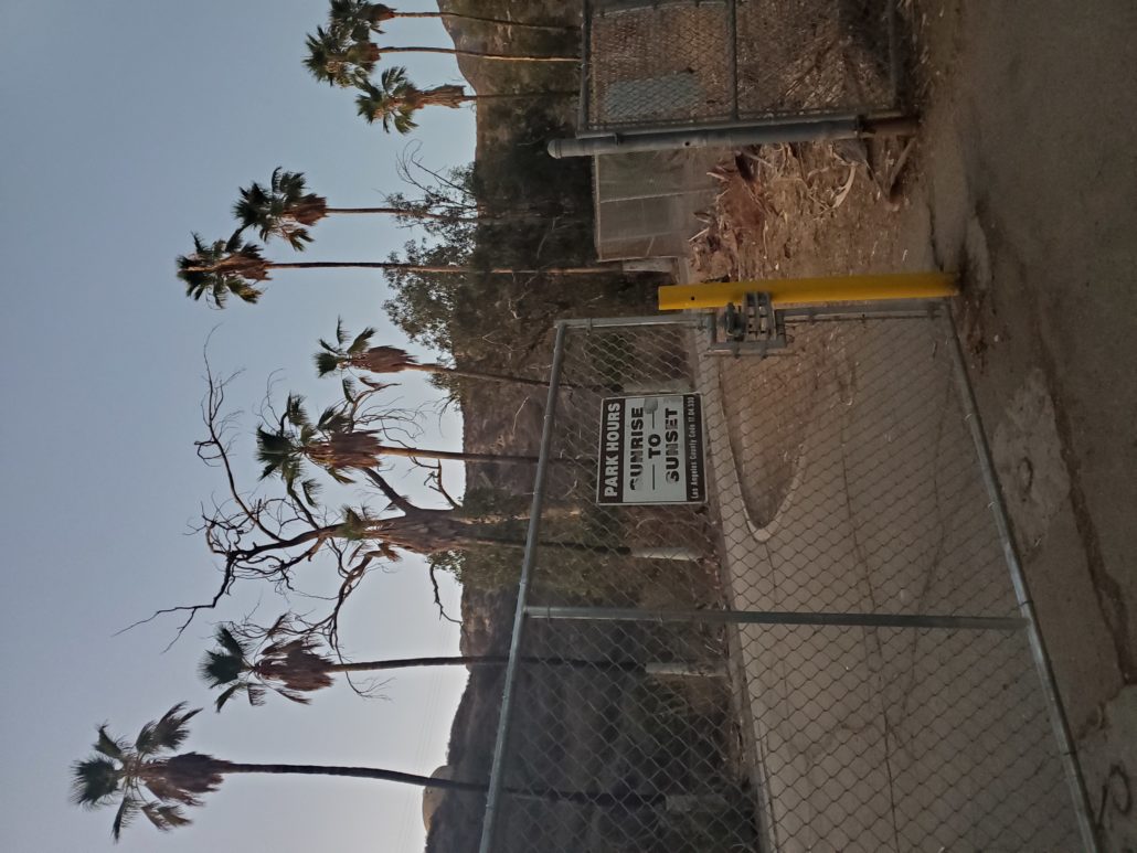
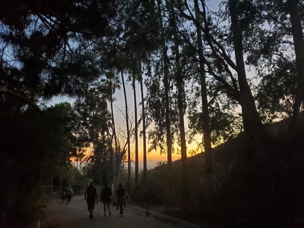
Once you’ve entered through the gate to Veterans Memorial Park, pass the first few parking lots to find the trailhead at the far west side of the park. Be aware that the park is only open from sunrise to sundown and that they do lock the gate overnight, so be sure to time your hike so your car can exit!
Start by taking the unnamed road to your north from the parking lot. At 0.2 miles, you’ll find the entrance gate to the beginning of the trail. This gate is also locked overnight and is locked prior to the main gate closure.
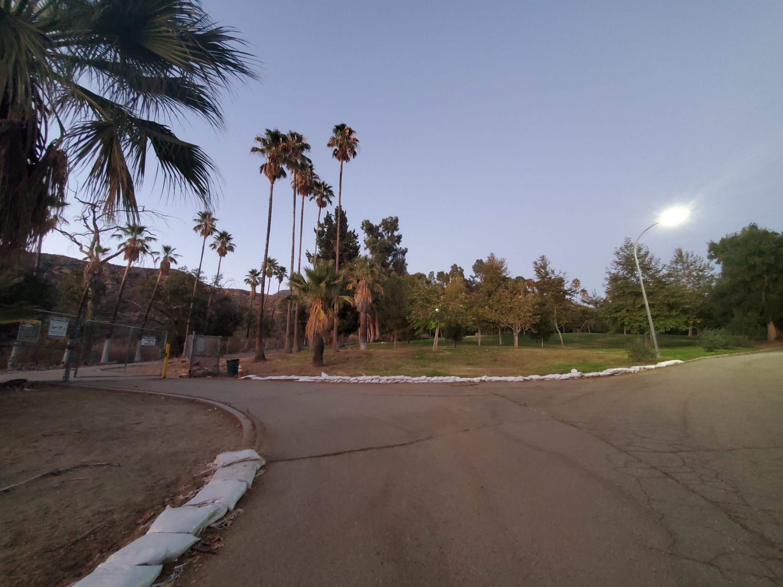
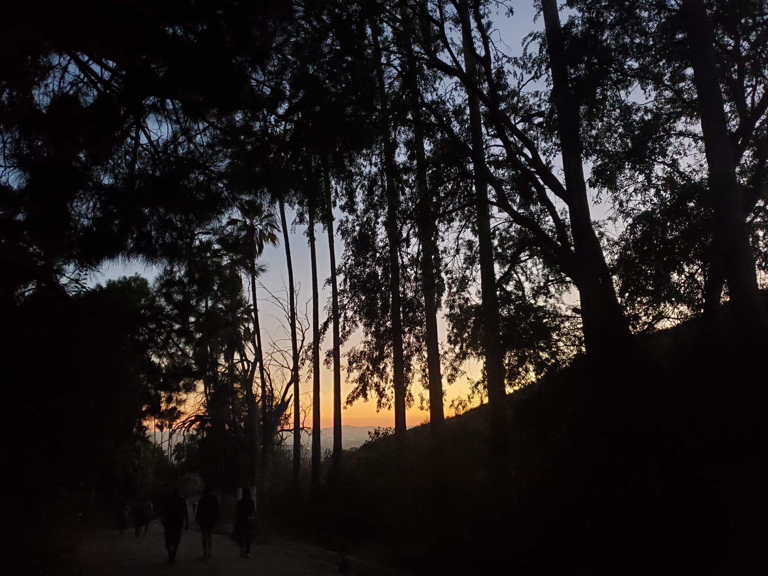
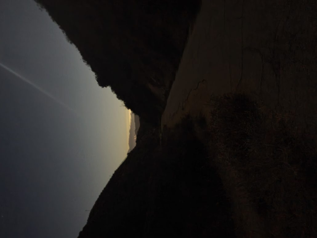
Once you pass through the gate, you’ll meet up with May Canyon Road and head northeast up the paved trail. At 0.3 miles, the trail splits off to your left for a short loop to a nearby water tank, which loops back to May Canyon Road at an earlier point in the trail. Right after this trail split, you’ll see another route off to your east, which is a 0.4 mile dead end. As you continue down May Canyon Road, be sure to take some peeks behind you as the view into downtown San Fernando Valley begins to open up.


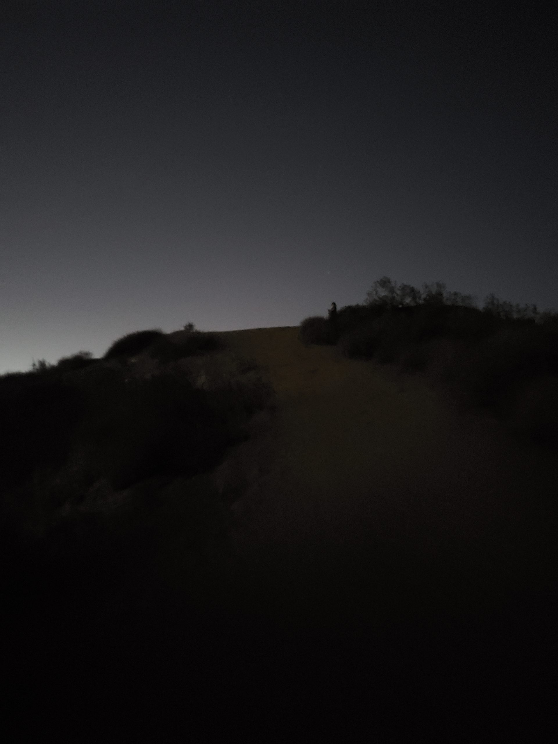
At 0.5 miles, you‘ll reach the beginning of the loop portion of this trail. You can begin the loop by following either the trail to your east or west, but be advised that the dirt trail to your west is significantly steeper and may be difficult to come down for those who are uncomfortable with steep downhills.

If you choose to go up the steep section to your west first, you’ll be covering about 500ft of elevation gain over the next 0.4 miles. The terrain grants you a few perfect rest spots where the trail flattens out, or you can try to push through this section with as few breaks as possible for a real booty burner.
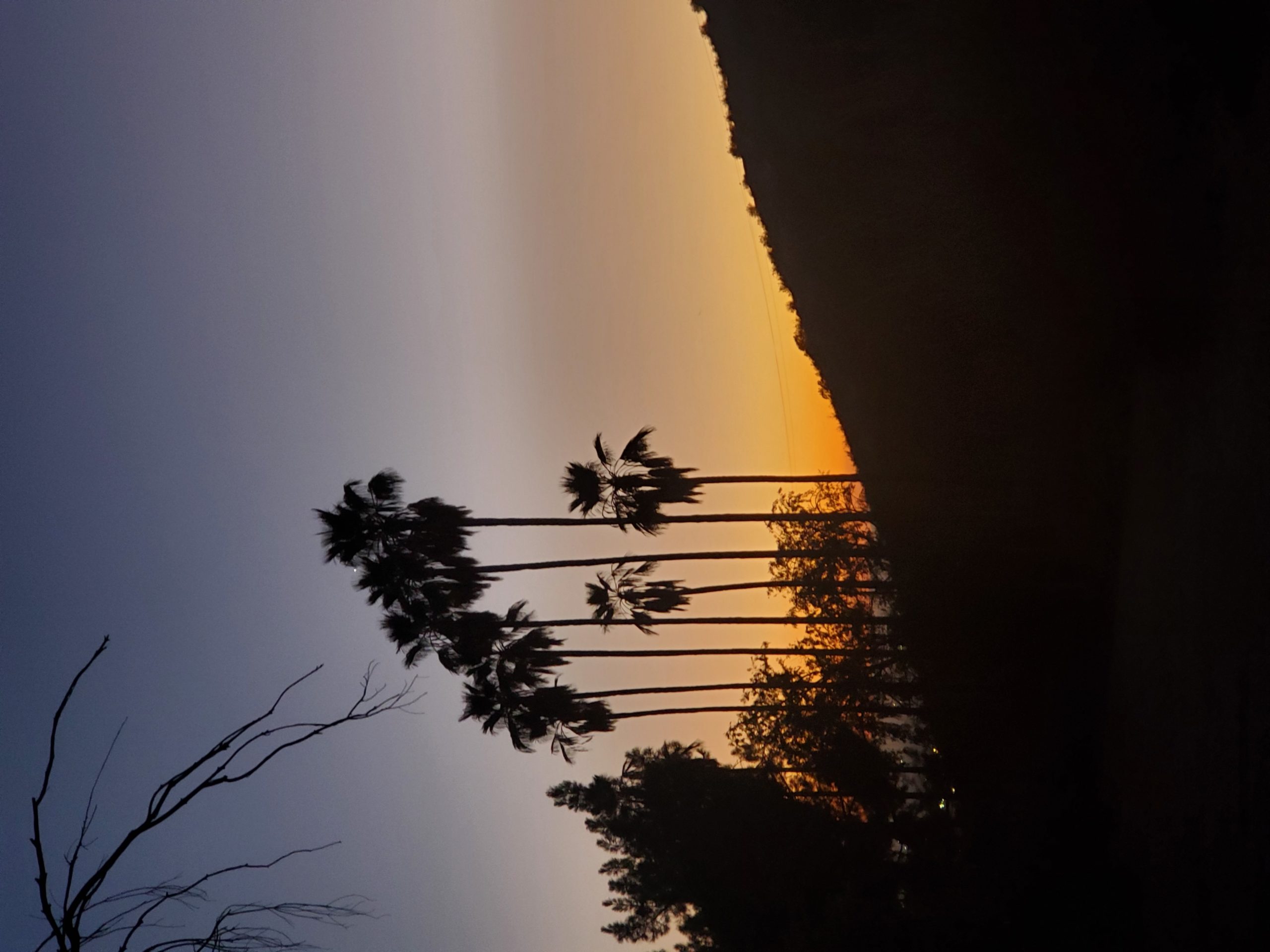
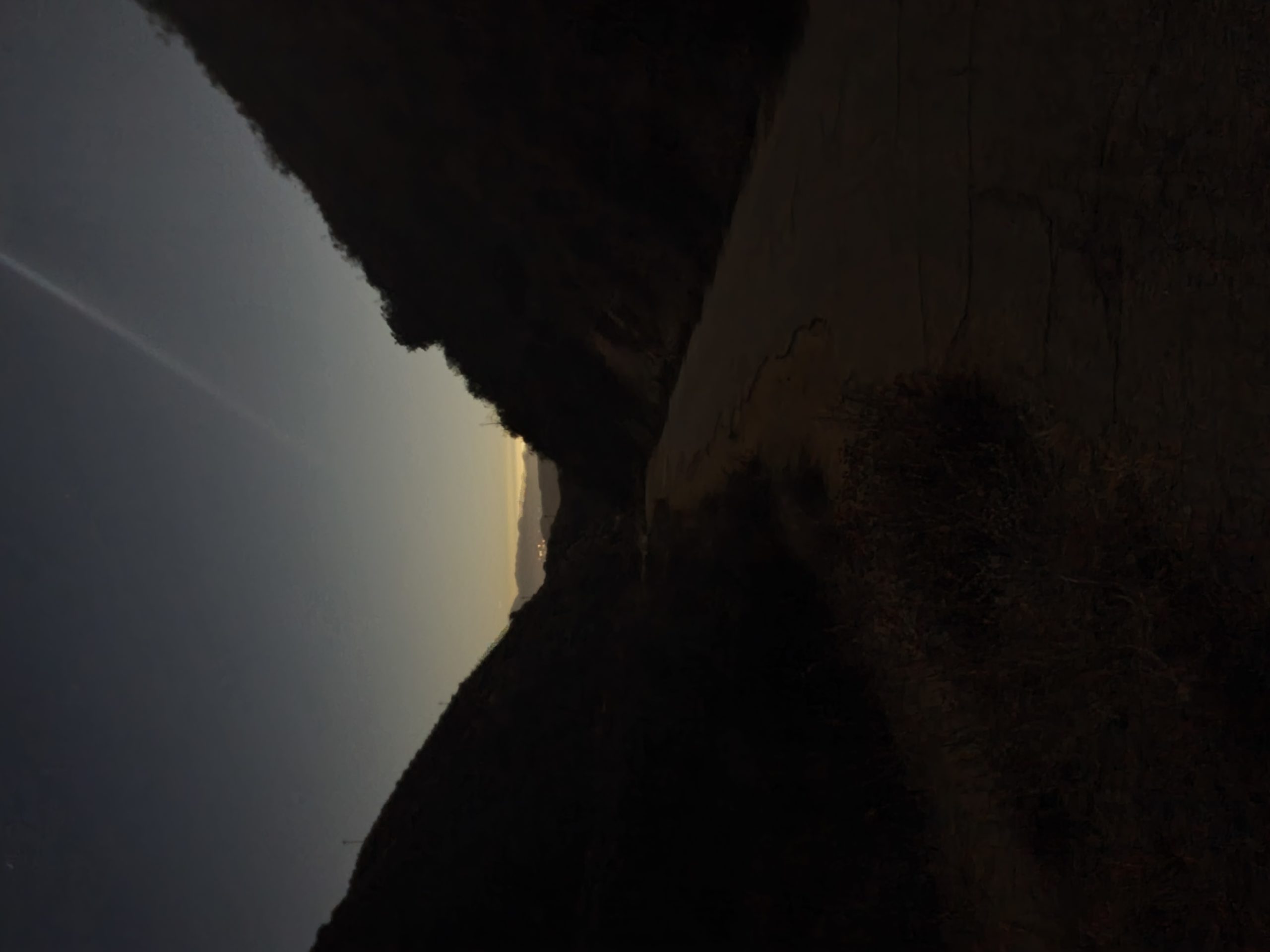
Begin trekking up this difficult section knowing that the best views are yet to come. After just 0.1 mile, you’ll find a short reprieve from the uphill to give you a chance to catch your breath. After cruising up an additional 250ft of elevation gain, the trail will flatten briefly once again to let you soak in the beautiful views off to your west, while you prepare for the final push to the summit. Muster all your strength as you make the final push up the remaining 100ft of elevation gain to the top of this trail.
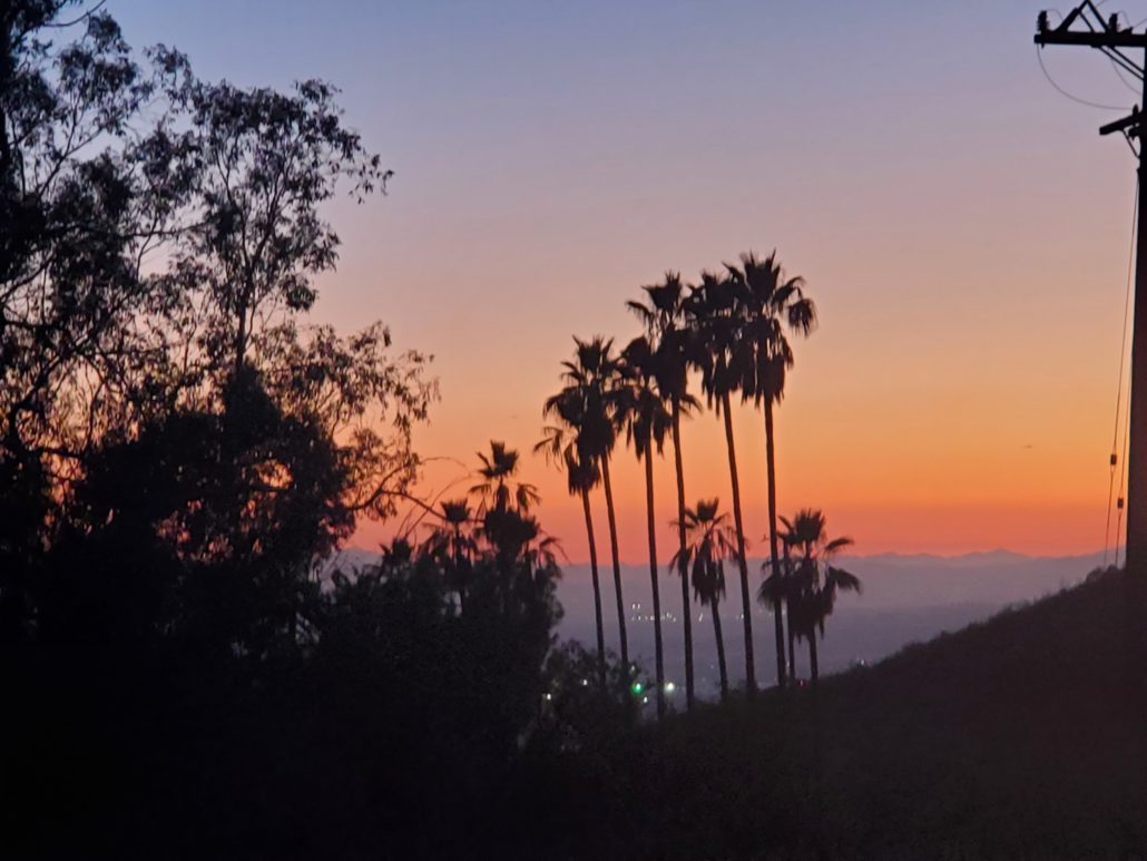
Take a much deserved break to catch your breath as you just crushed a ton of elevation over a short distance. Once you’ve enjoyed the vast views over the San Fernando Valley and Burbank, locate the paved May Canyon Road to your east, and begin the slow descent down the trail. You also have the option of extending the hike by following May Canyon Road to your west, or continuing up the wide trail which will eventually lead to Wilson Canyon Saddle in Wilson Canyon Park after about 3 miles.

While you covered all this elevation gain over 0.4 miles, you’ll have about a mile over the paved trail to lose the same amount of elevation heading back. This section of the trail will take you in between rolling valleys as you gradually wind your way around to the initial trail split at the beginning of the loop. Once you arrive back to this section, follow the same trail you started on to find your way back to your car.
Tags: california, dog-friendly, Hiking, Los Angeles, nature, outdoors