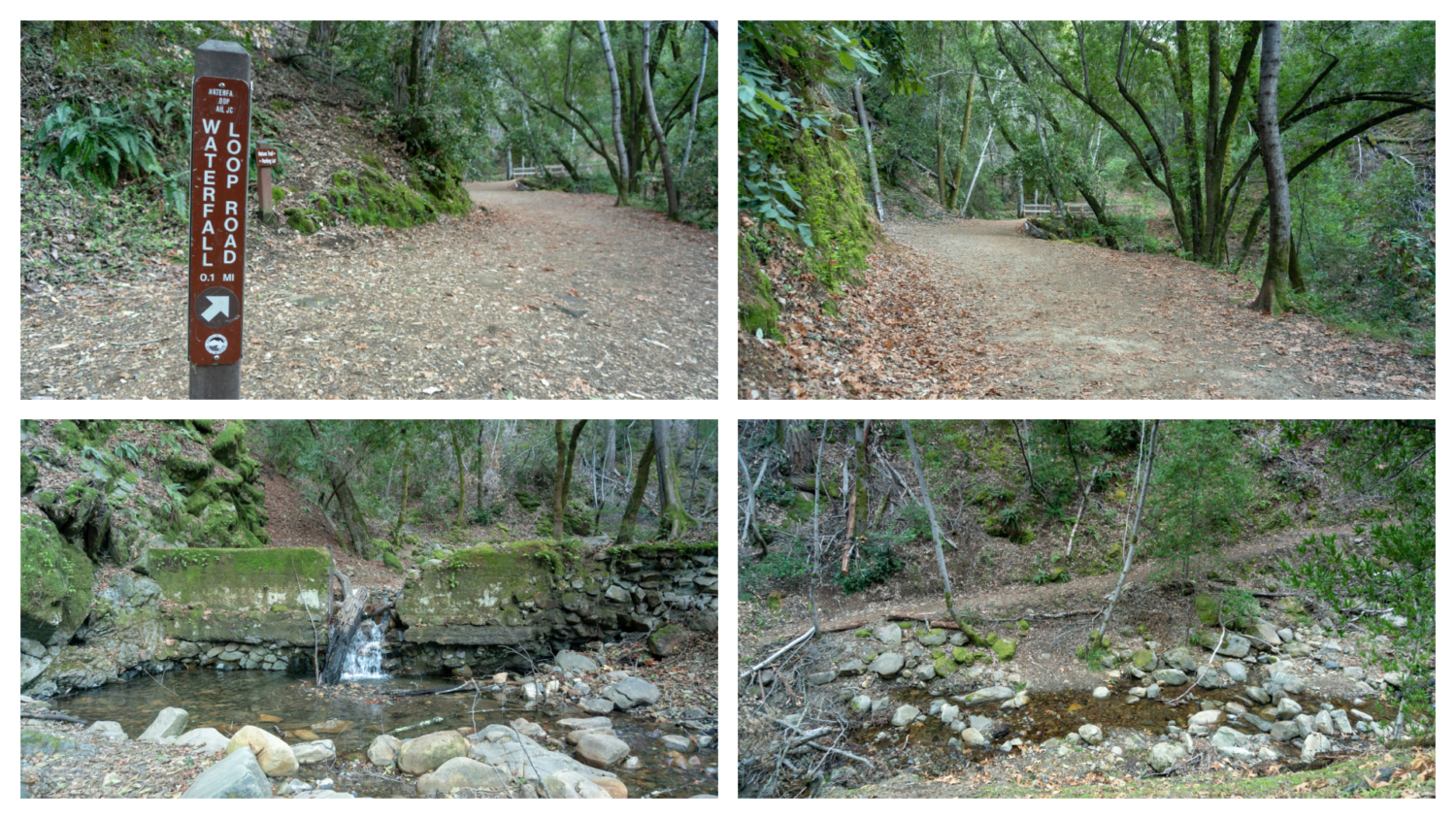
The Uvas Canyon Waterfall Loop is a moderate, rolling hike through tree-lined gulches, brambly creek sides, sunny vistas, and multiple quaint waterfalls in Uvas Canyon County Park, a 40-mile drive southeast of Silicon Valley in Morgan Hill. This loop hike visits six waterfalls, heading southwest on the Waterfall Nature Loop Trail, and then looping northeast on the Contour Trail and Alec Canyon Trail. The falls are at their best when late winter and early spring storms have swelled the creeks, so I would tackle the hike then.

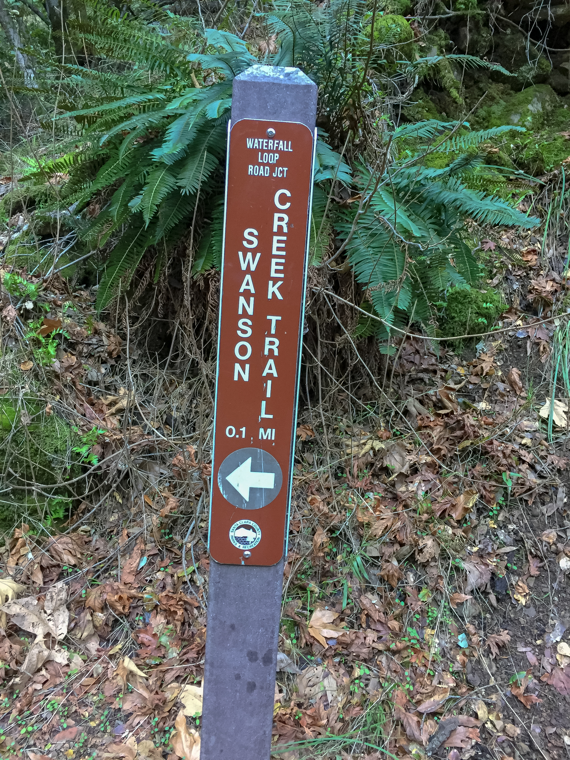
Before we start, just a heads up that Uvas Canyon County Park is a little confusing in the beginning. Instead of parking at a trailhead and popping on a trail, you wind a few hundred feet on a paved road to reach multiple trailheads. A good rule of thumb is to follow the brown Waterfall Loop Nature Trail signs; it is same direction we’ll be heading to start our 5.2-mile loop. Huzzah! We’ve cracked it.
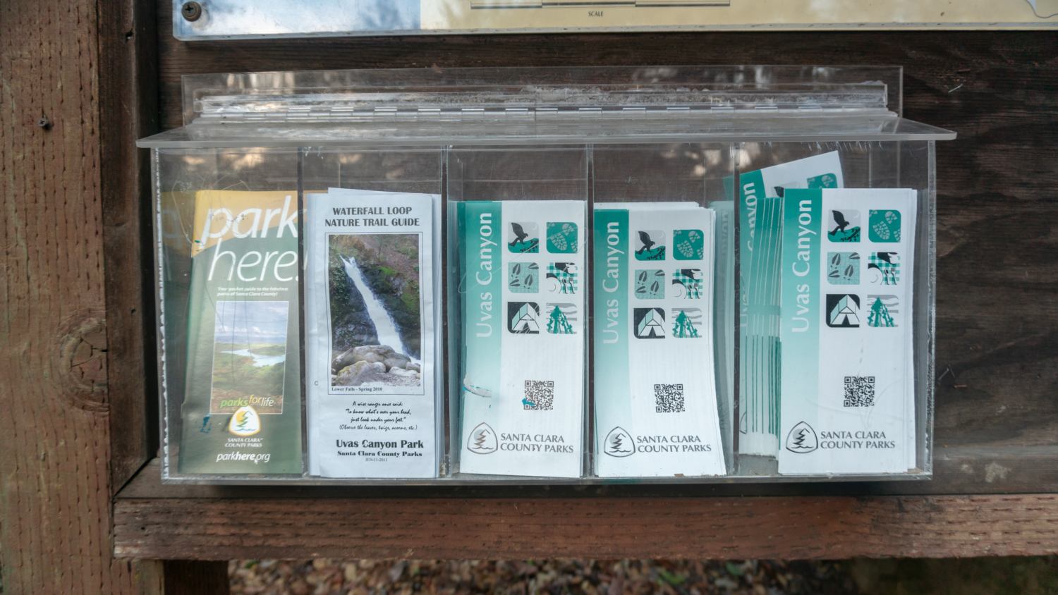
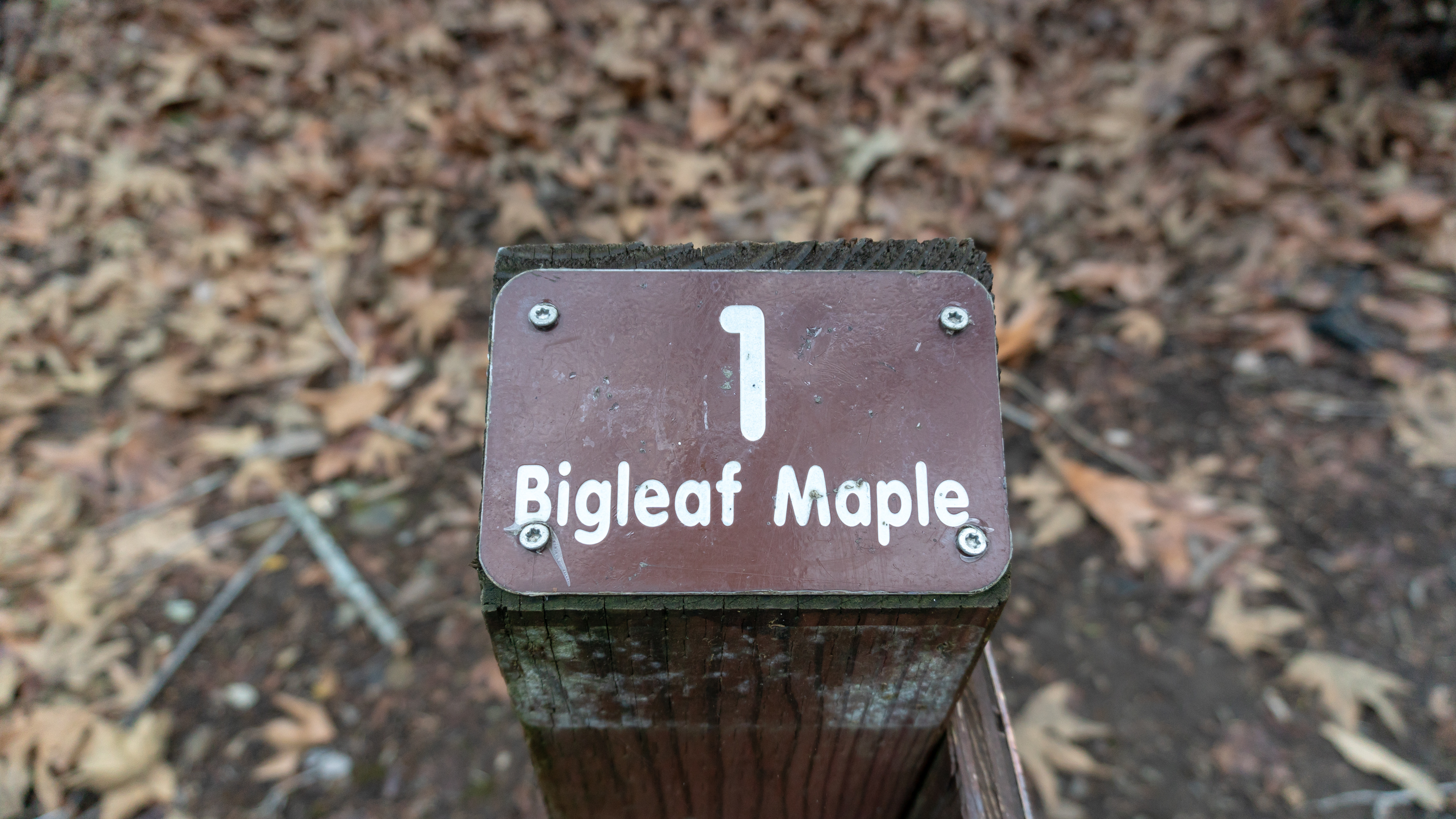
Start your hike at the Uvas Canyon County Park kiosk in the northwest corner of the day use parking lot. Pick up two free pamphlets here: the Waterfall Nature Trail Guide and an Uvas Canyon brochure. The Waterfall Loop Trail Nature Guide has descriptions of plant life that correspond to numbered signposts along the trail, a very cool bonus at the park for learning about what you are looking at as you go. The Uvas Canyon brochure has a topo map of the trail system inside and information about the park, also good to have on-hand. (Links to both are in the Notes below).

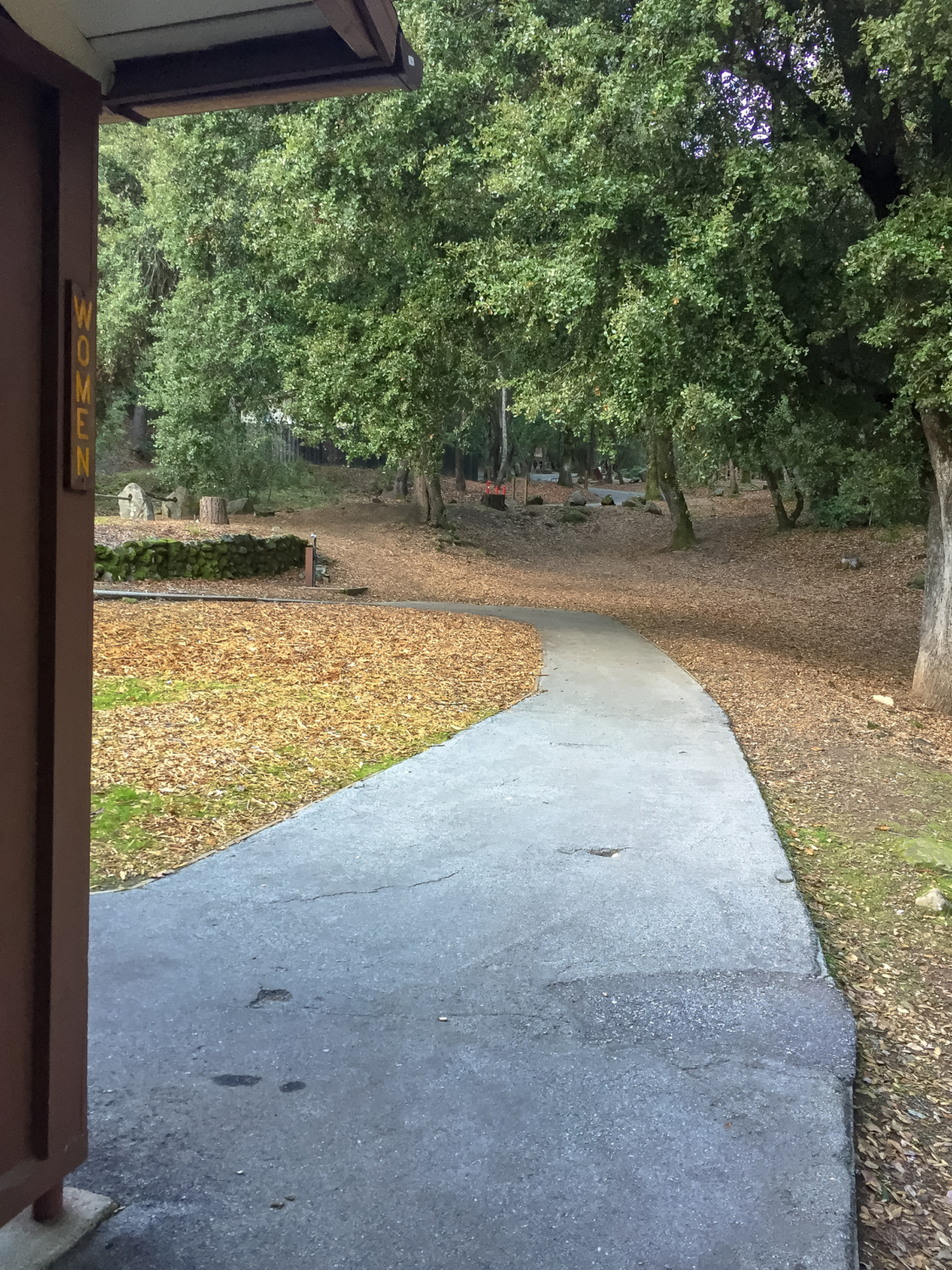
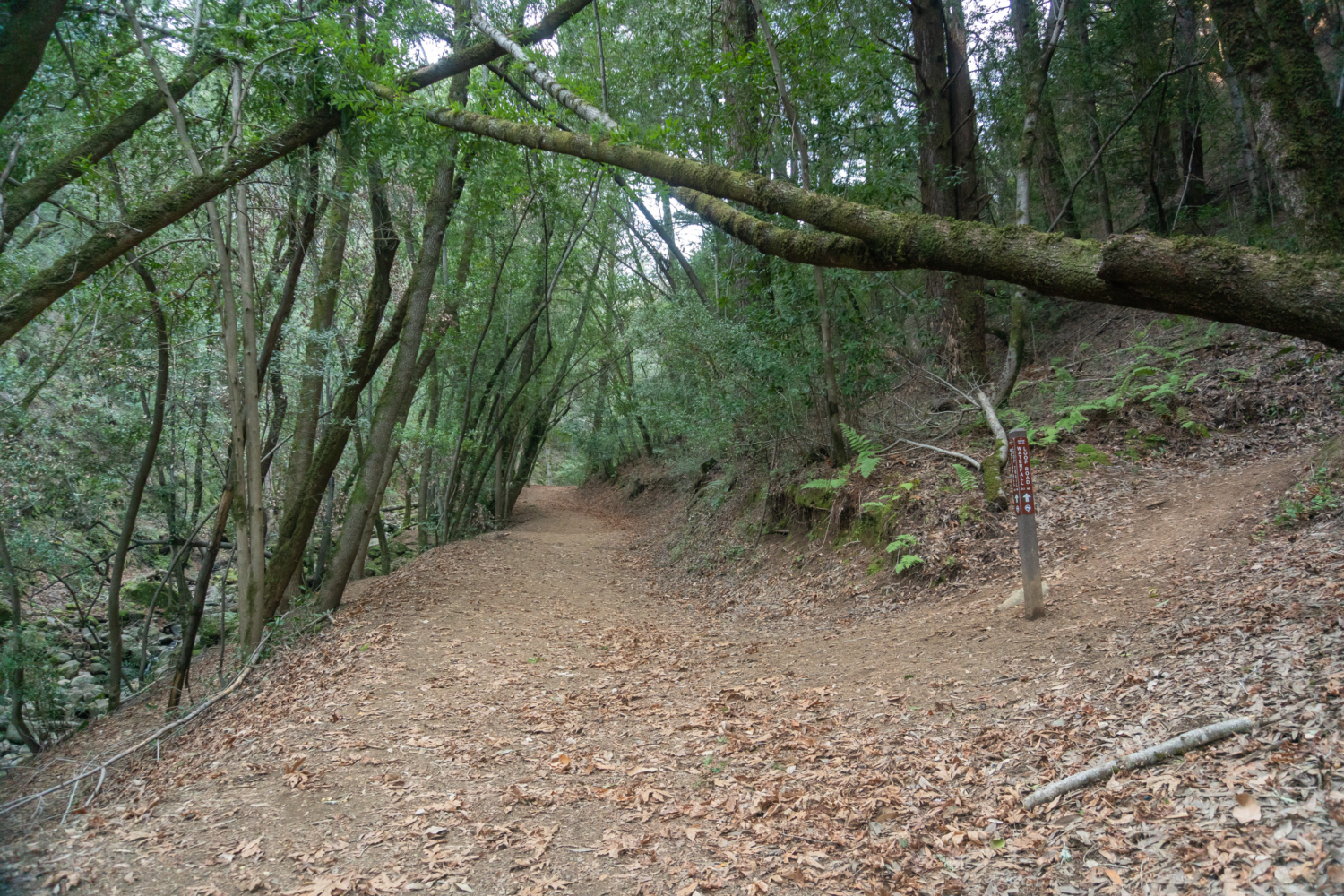
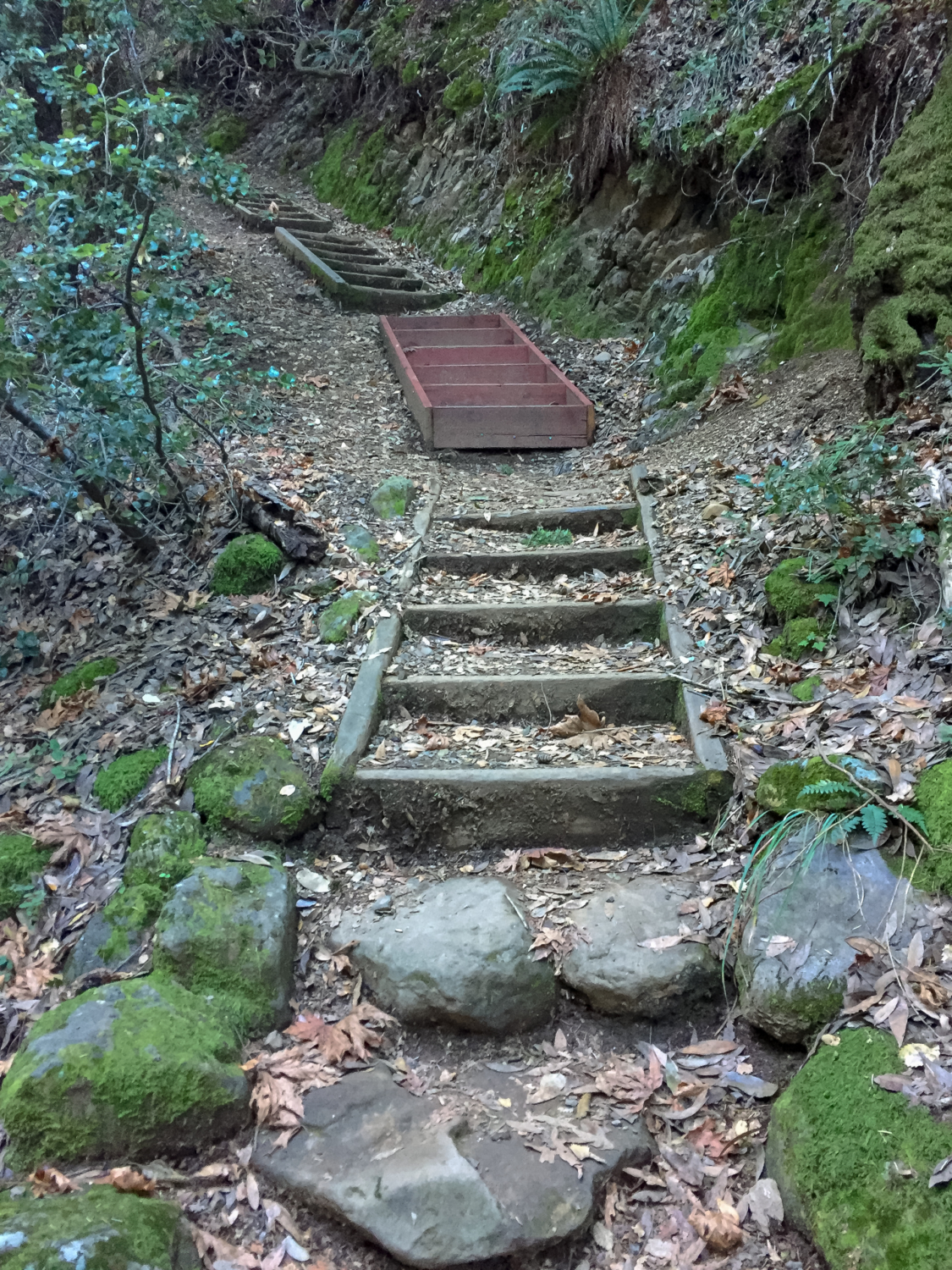
Head up the wooden staircase next to the kiosk, following the Waterfall Loop Nature Trail sign. Pass the restrooms and turn right onto the paved park road. In 200 feet, bear right again at a split in the road, following the brown Waterfall Loop Nature Trail sign. On your left is the Black Oak Group Picnic Area, a reservable picnic spot for up to 75 people. The Alec Canyon Trail also starts on the left and heads to Triple Falls, which we will visit at the end of our loop. You can bear left and go in a clockwise loop from here; I like bearing right and going counterclockwise to see a bunch of waterfalls early on in the hike and to follow the interpretive signs sequentially in the nature guide.


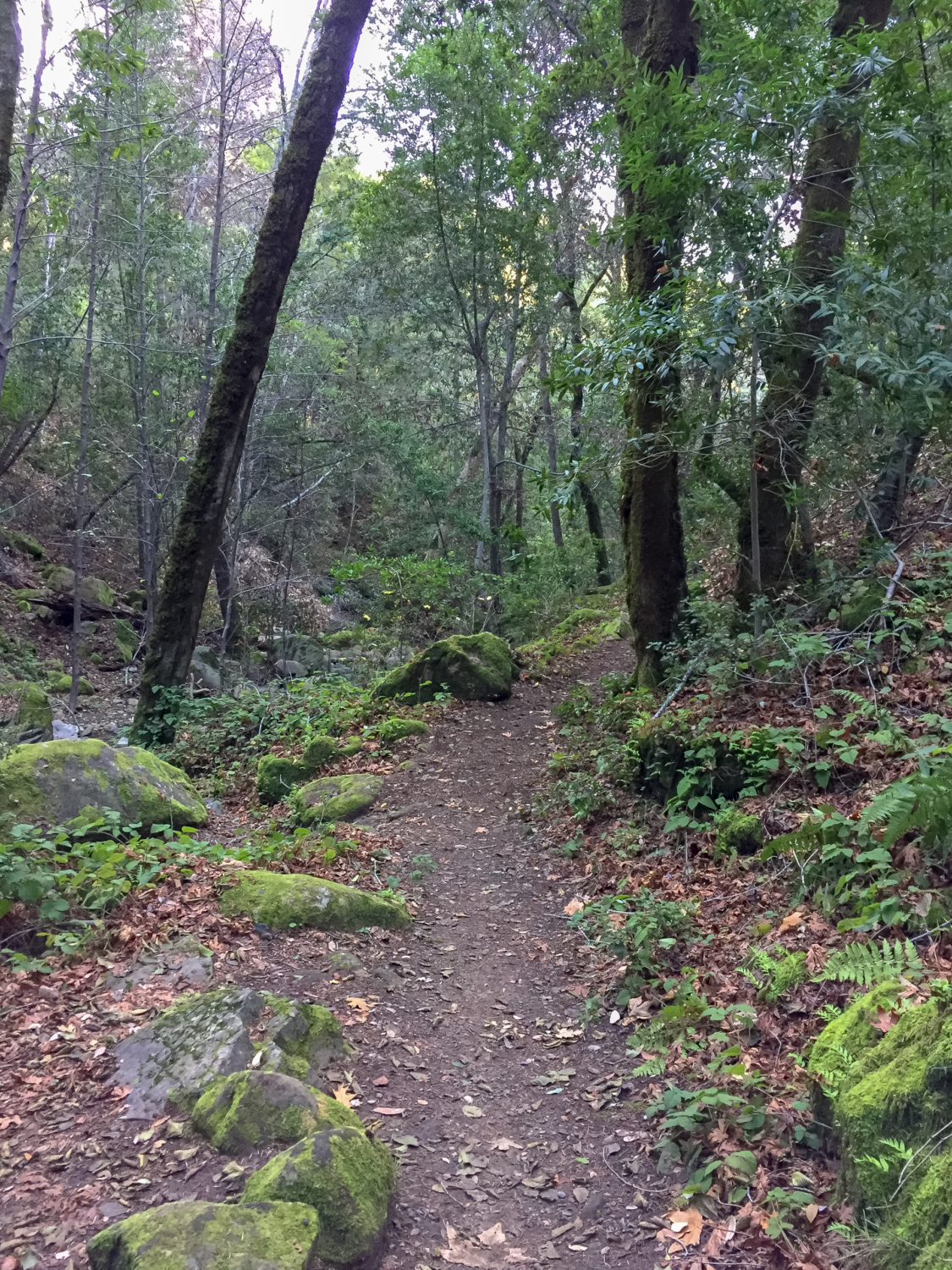
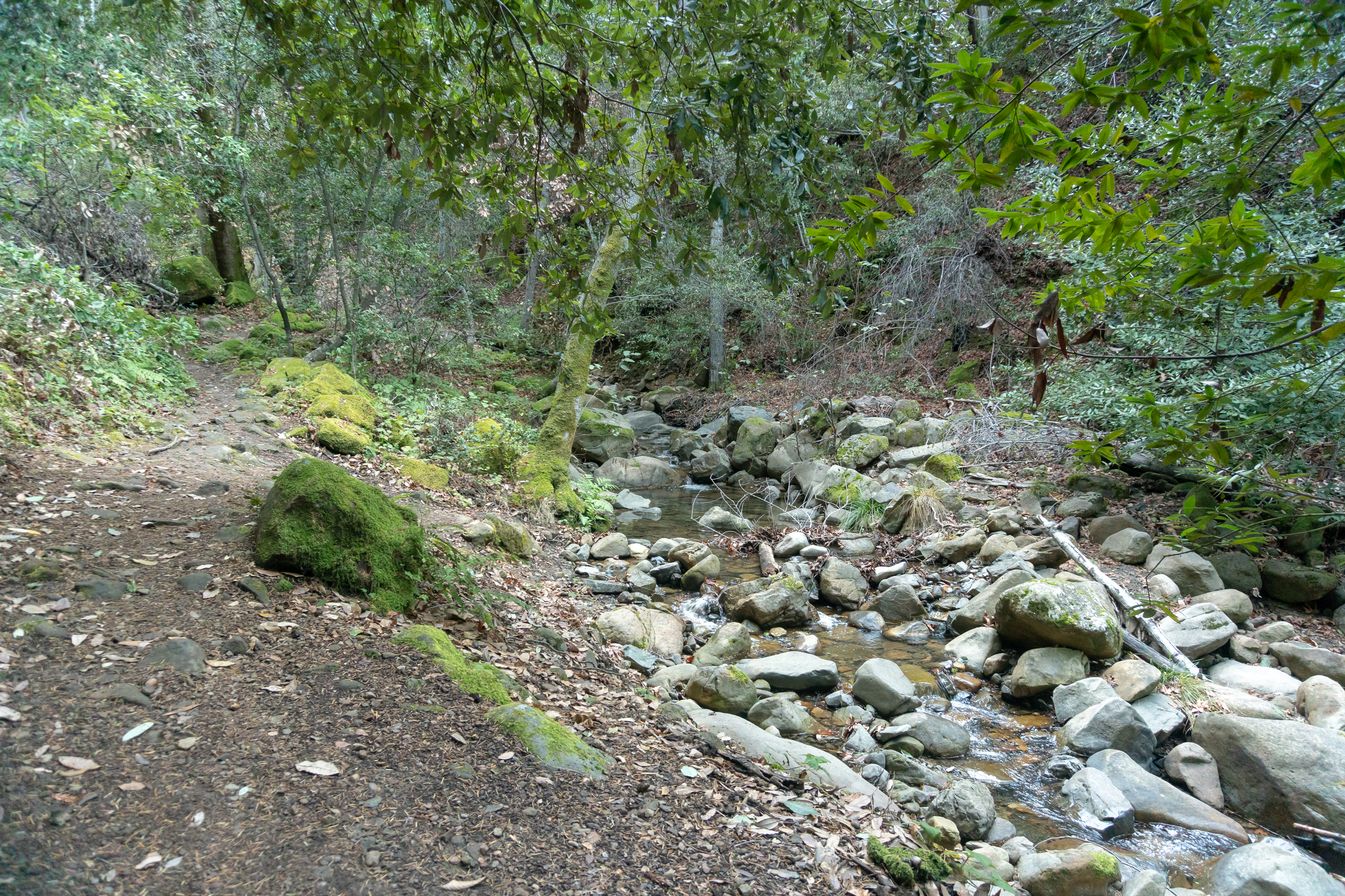
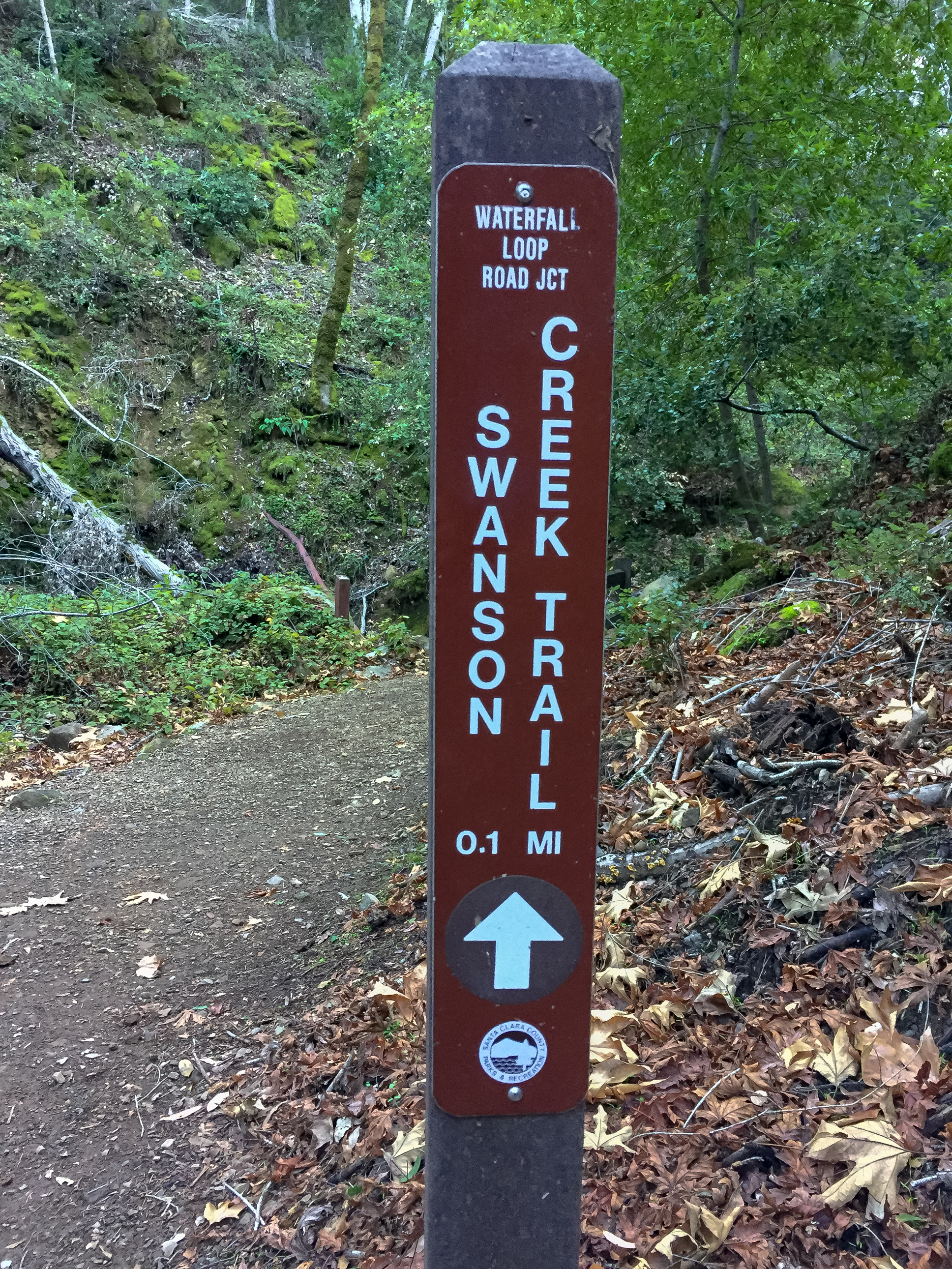
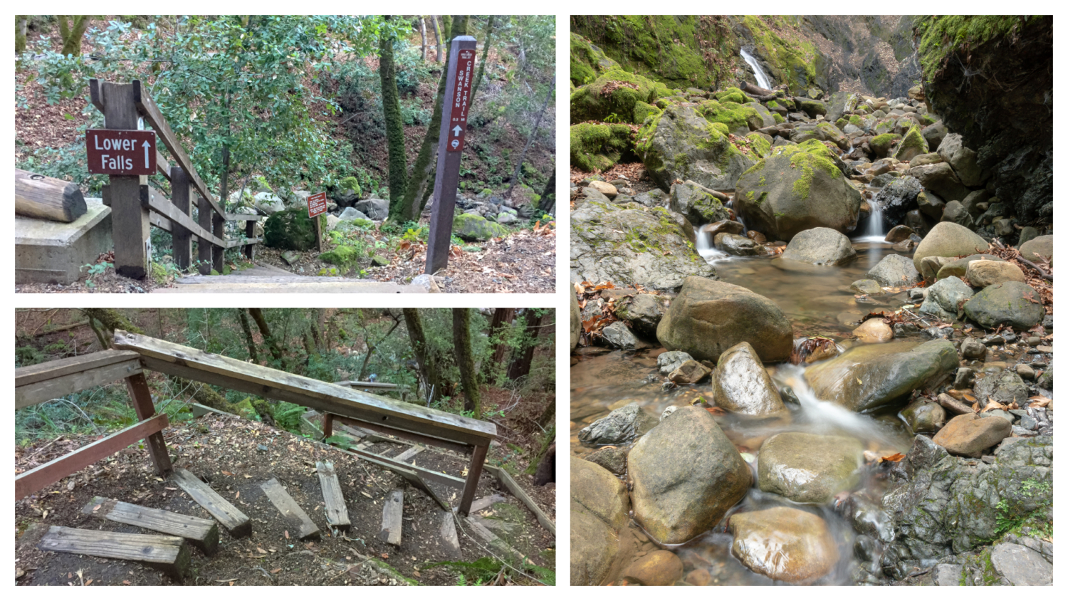
Bearing right, swing down the paved road towards the campground. In 300 feet, turn right at a wooden staircase with signs for Lower Falls and the Swanson Creek Trail. Head down the steps to your first up-close view of Swanson Creek. The single-track Swanson Creek Trail is a pleasant amble, surrounded by leafy maples, rocks covered in electric green moss, and Douglas fir. Descend 165 feet over the next 0.25 miles to the confluence of Swanson Creek and Uvas Creek. Lower Falls streams out of the hillside above Swanson Creek, with several tiny cascades visible in the rocky creek.


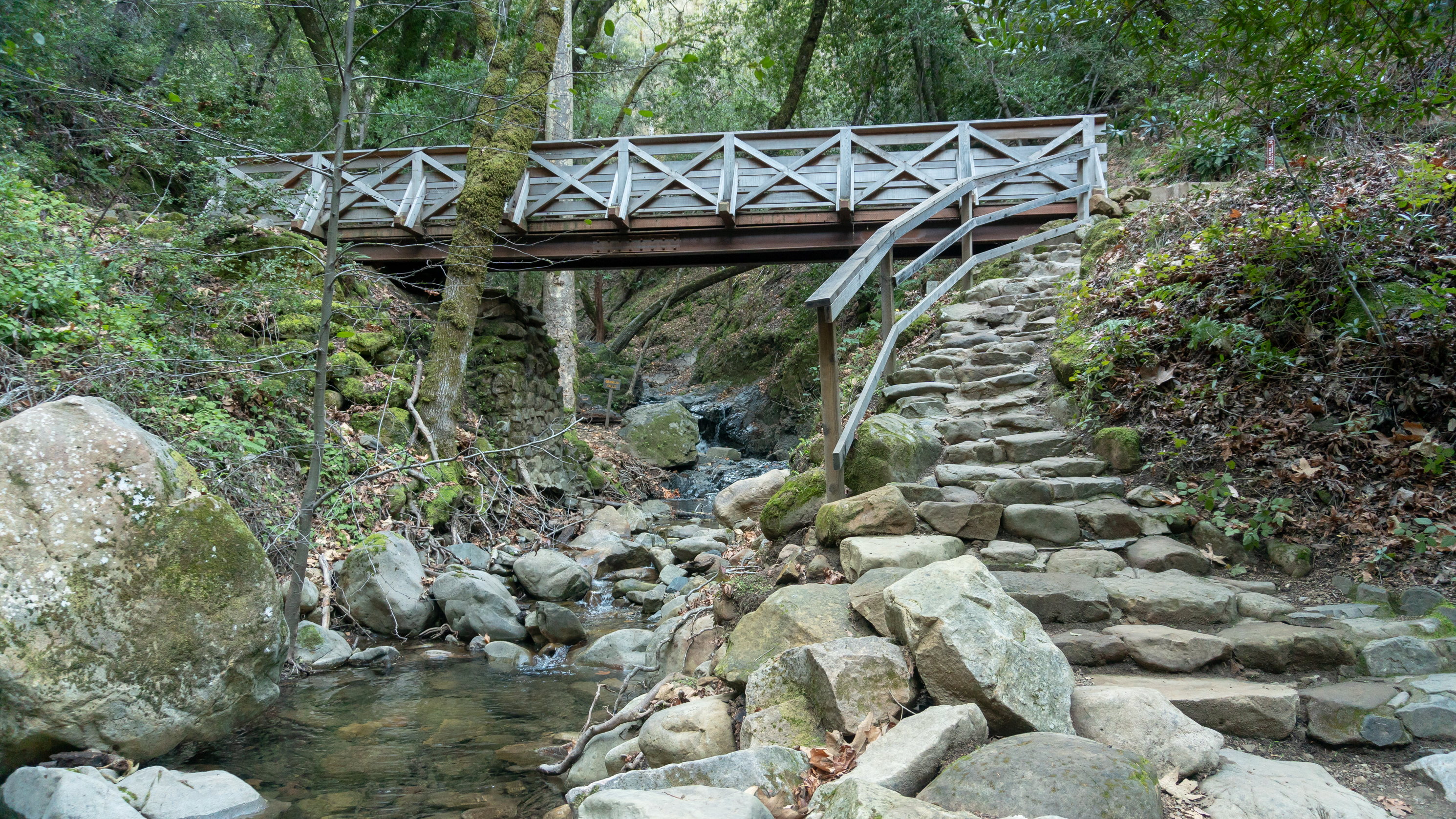
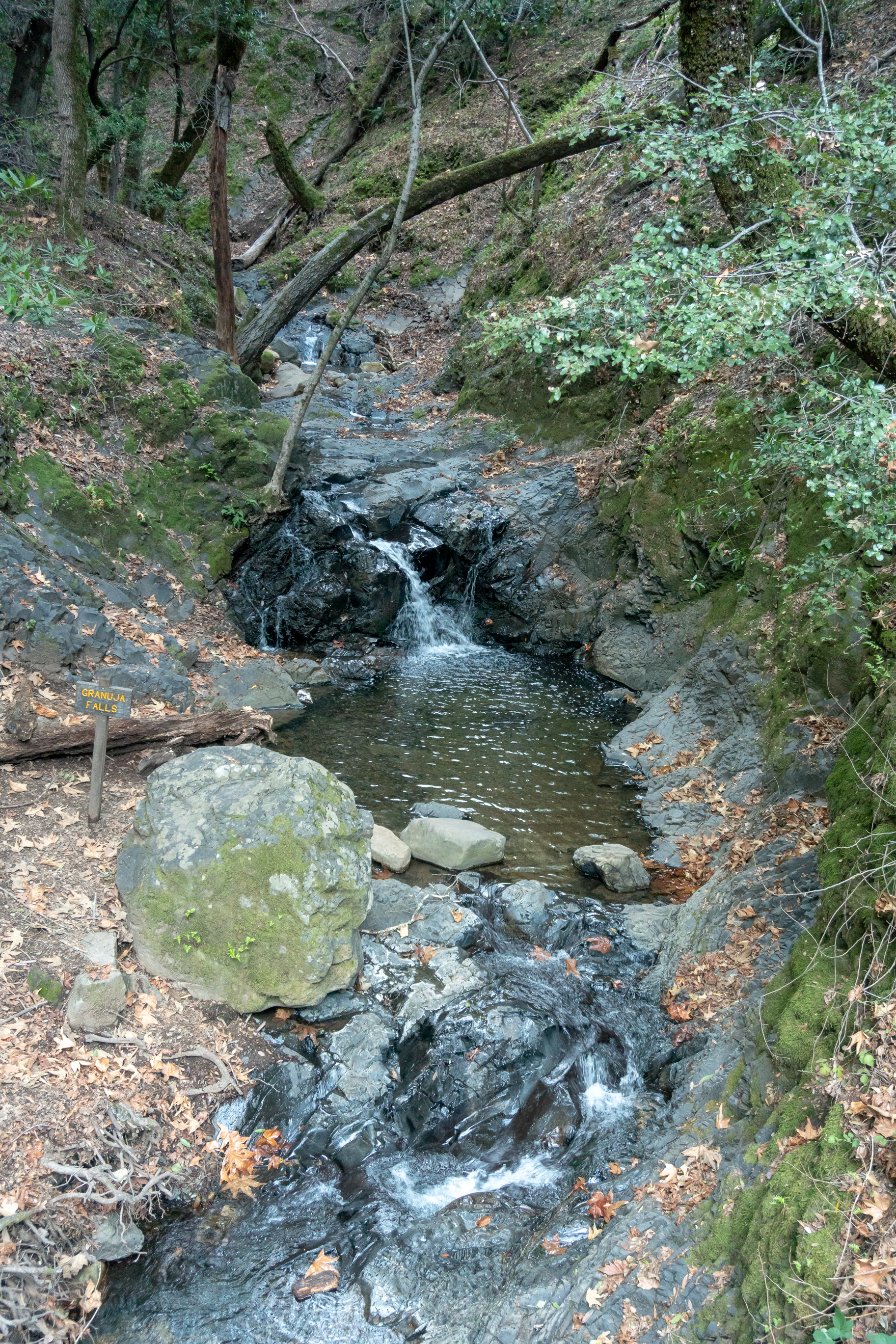
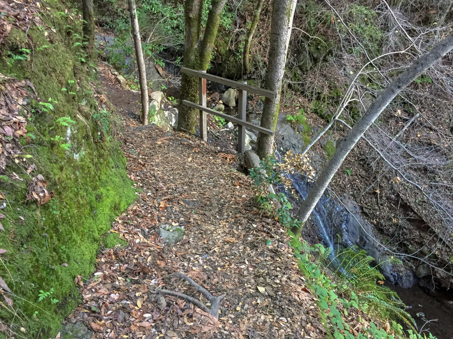
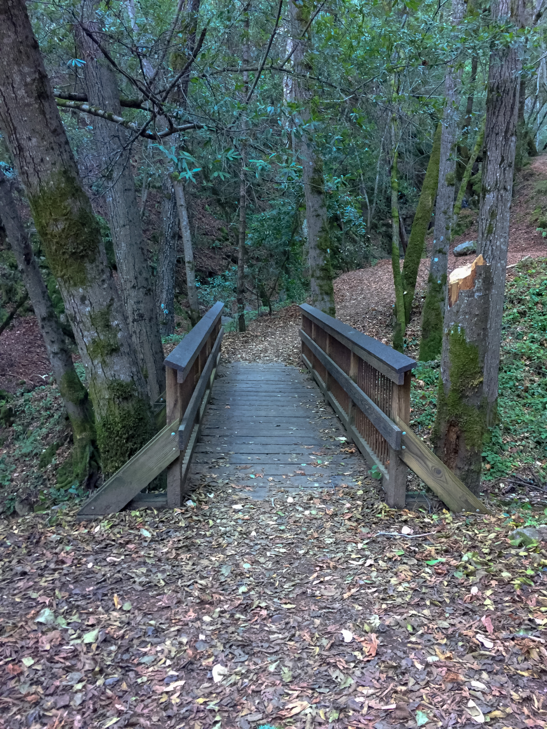
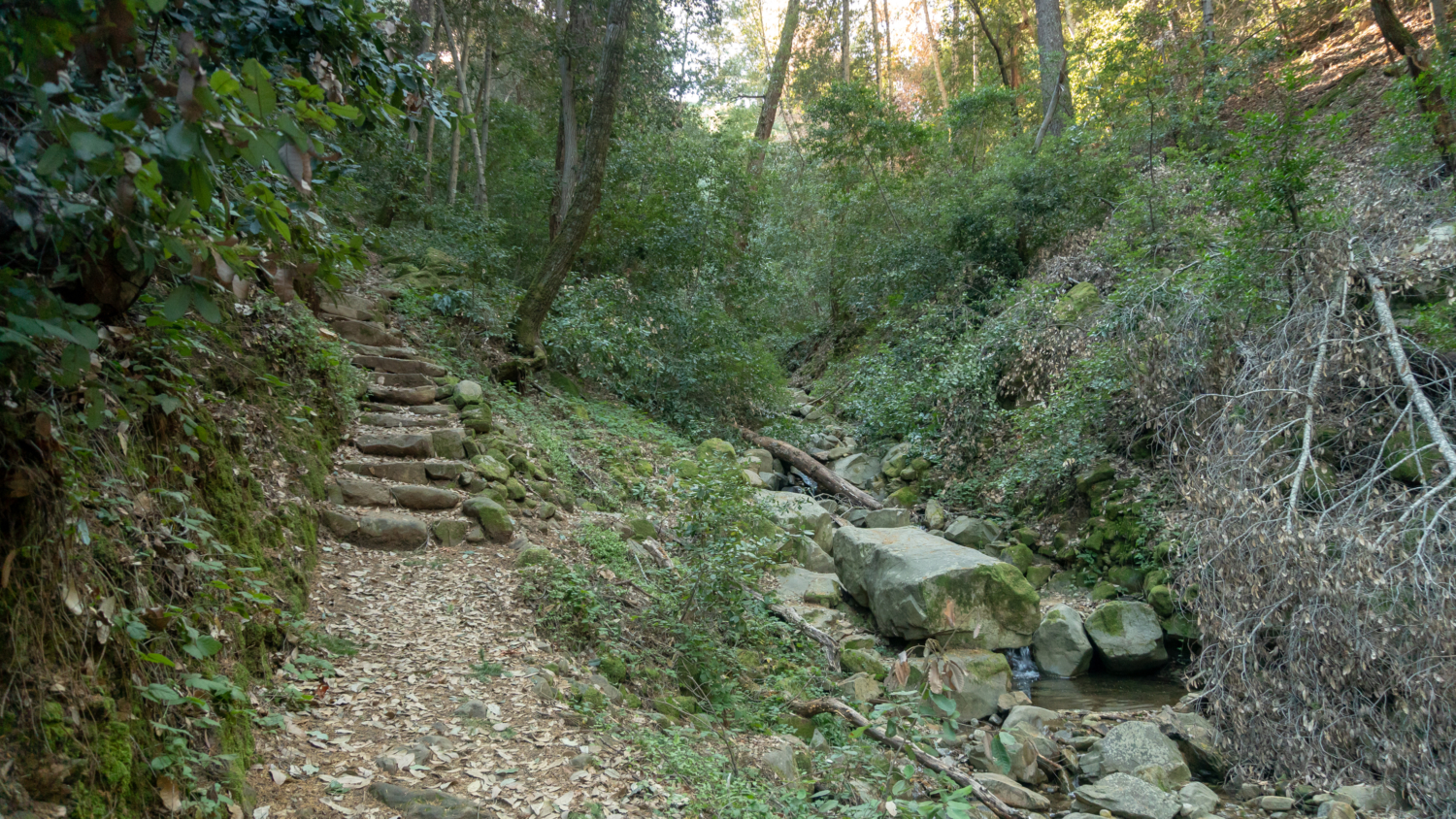
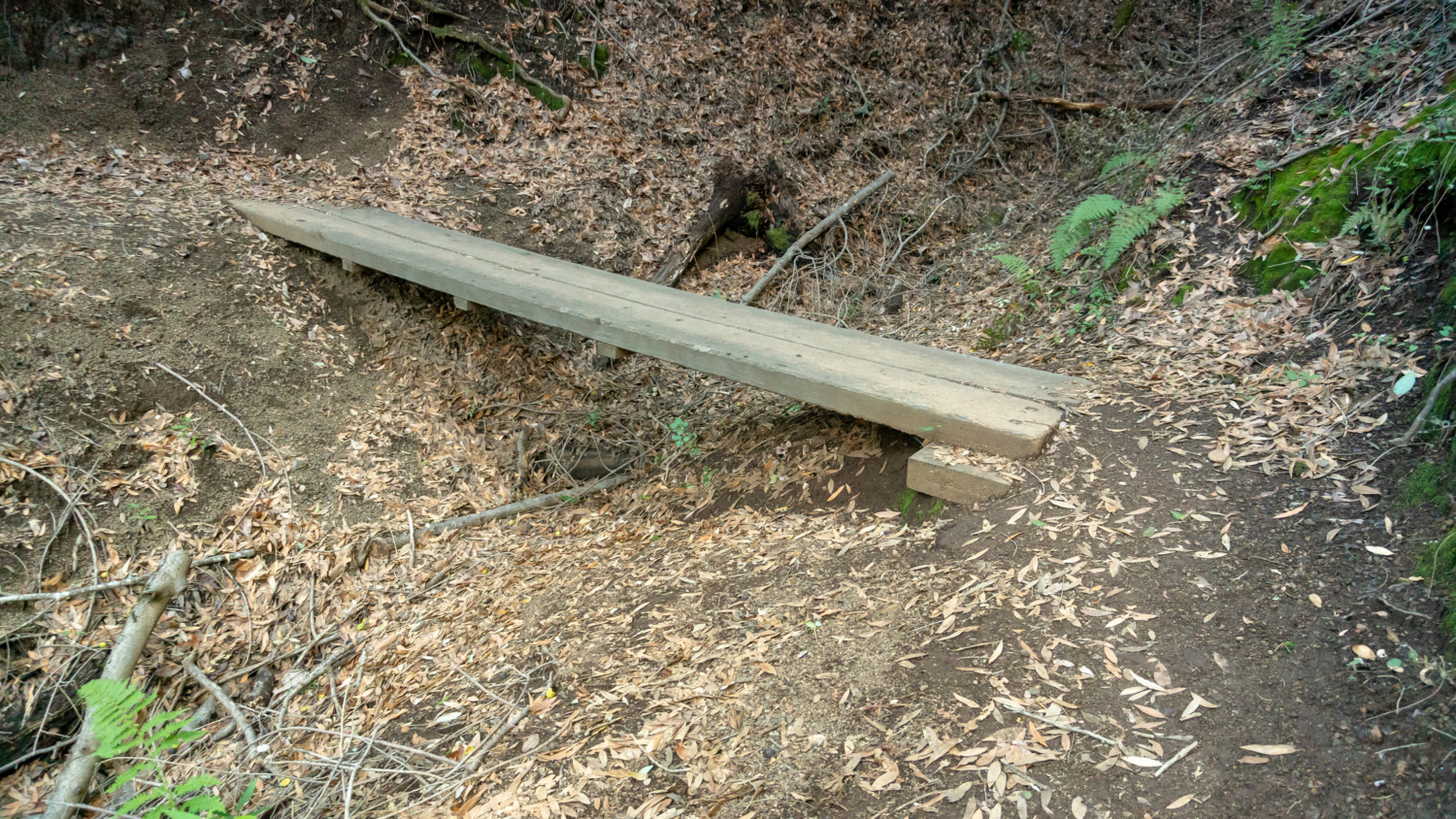
Retrace your steps back to the paved road and turn right, rejoining the paved trail towards the campground. In 50 feet, turn left at the brown Waterfall Loop Nature Trail sign. Beside Swanson Creek, stone steps ascend to a pedestrian bridge over Granuja Falls. Turn left to cross the bridge, enjoying the view of the falls below. One cascade is a few feet tall, while the one closest to the bridge is about five feet tall.


Past Granuja Falls, bear right at the next Y-junction, heading southwest to Waterfall Loop Road. You’re still on the Waterfall Loop Nature Trail; the trail to the left heads back to parking lot.

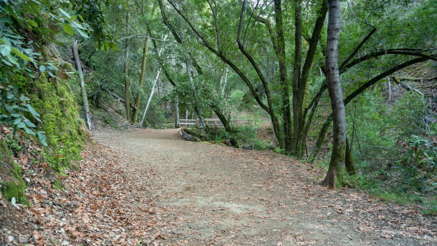
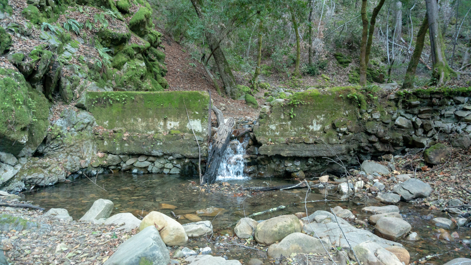
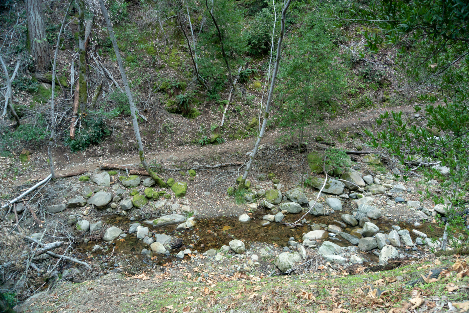
At the 0.7-mile mark, cross a wide bridge over Swanson Creek. Just upstream is an old dam that created a reservoir and water supply for early settlers. As the dirt road rises above the dam, you can see a faint trail on the other side of the creek—the return leg of the Waterfall Loop Nature Trail.

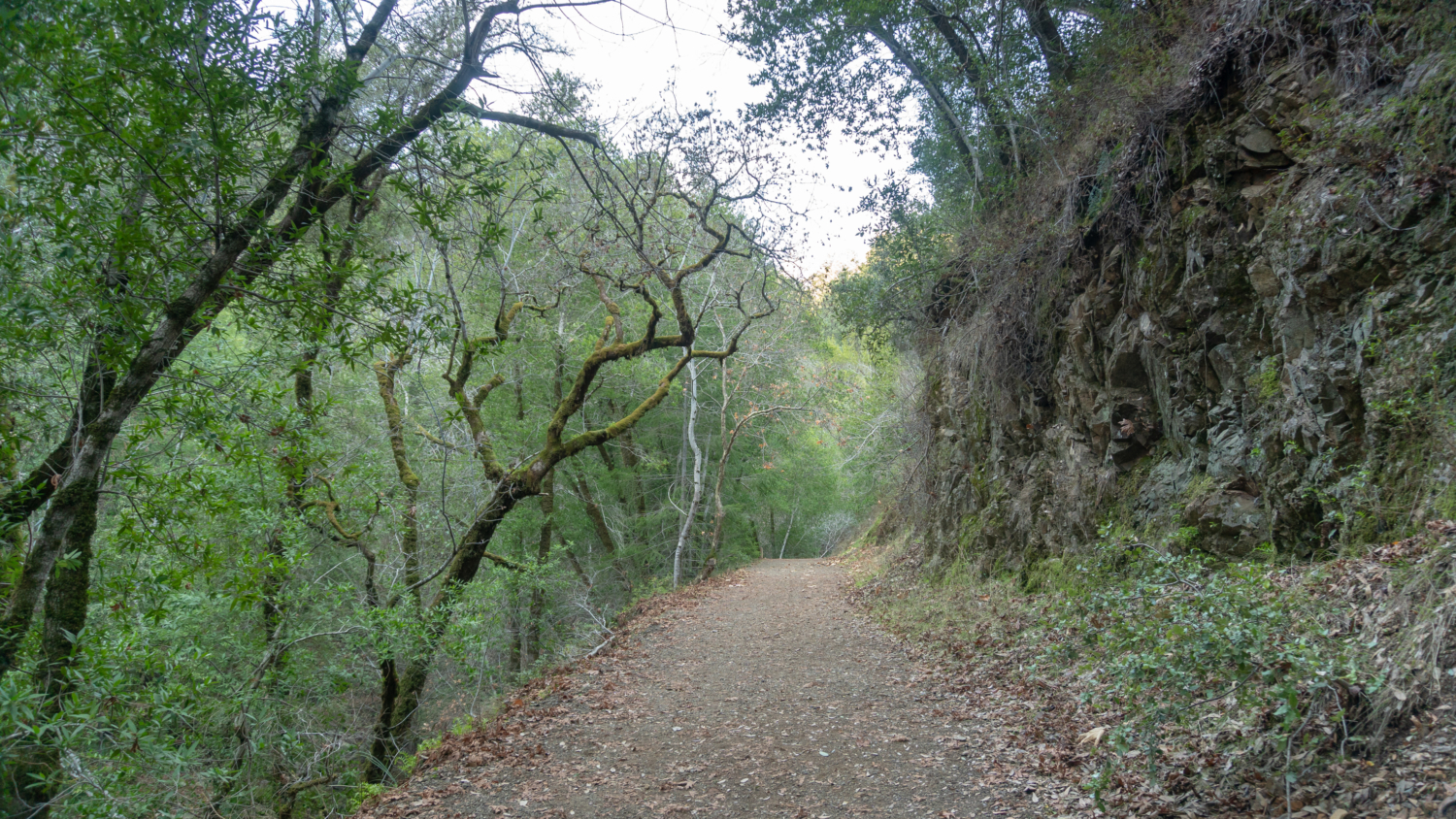
Continue hiking southwest on the Waterfall Loop Nature Trail towards Black Rock Falls. The wide, gravelly road passes through sunny cliff sides peppered with canyon live oak and bay laurel, with views of Swanson Creek below.

At the 1.1-mile mark, turn right at the Black Rock Falls junction to see Black Rock Falls. A short spur leads to a view of Black Rock Falls from behind a stone wall. Water horsetails over the black rock face for roughly 20 feet, then flows over dark slabs into Swanson Creek below.

Back on Waterfall Loop Road, continue southwest, reaching a cozy picnic table at Myrtle Flats, a flat clearing above Swanson Creek. If you can snag it, this is a great spot to take a break and have a picnic. Downstream from Myrtle Flats is a bridge leading over to the south side of Swanson Creek. If you’re doing the 1-mile Waterfall Loop Nature Trail, this where you would hike back towards the parking area on the other side of Swanson Creek.

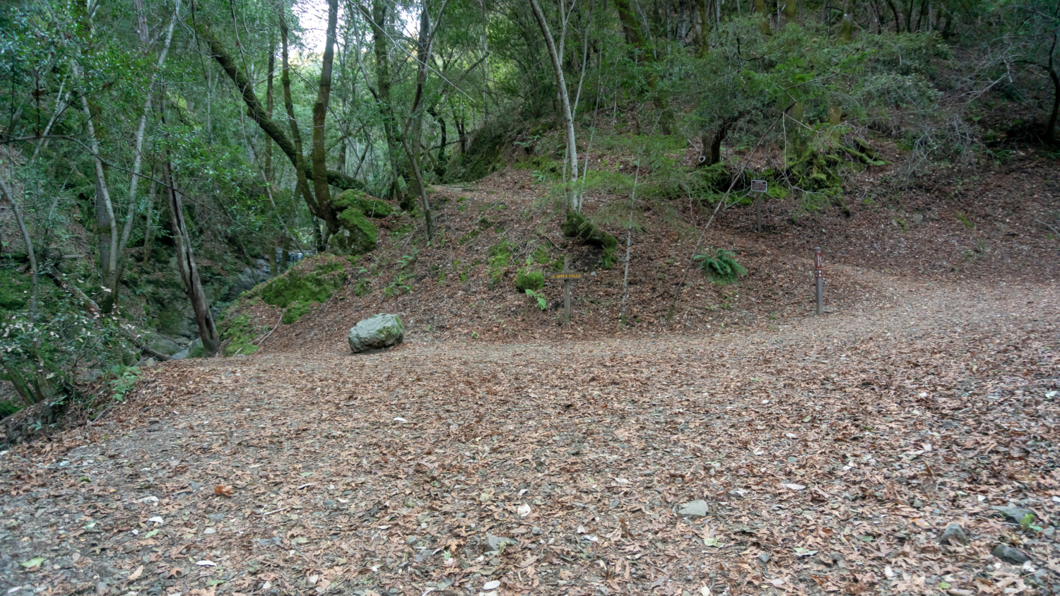
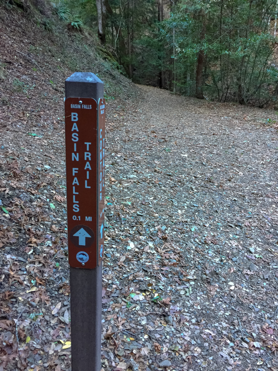
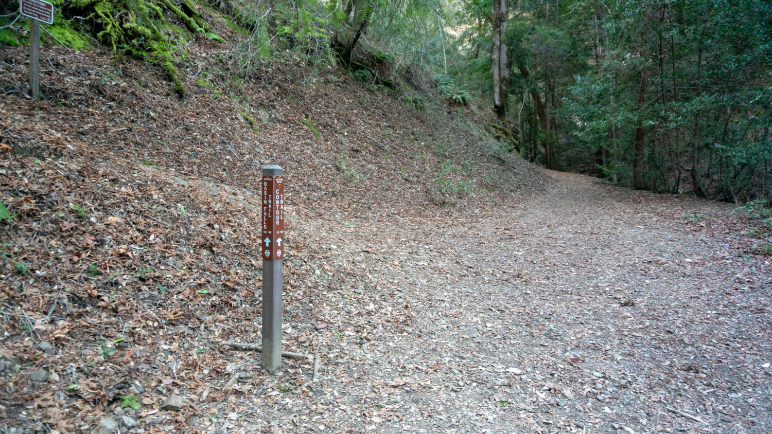
Bearing right past Myrtle Flats, pass the Knobcone Point Trail on your right and arrive at a three-way junction. To your left is Upper Falls, to your right is Basin Falls, and straight ahead is the Contour Trail. We’ll take a peek at Upper Falls and Basin Falls first before continuing our loop on the Contour Trail.

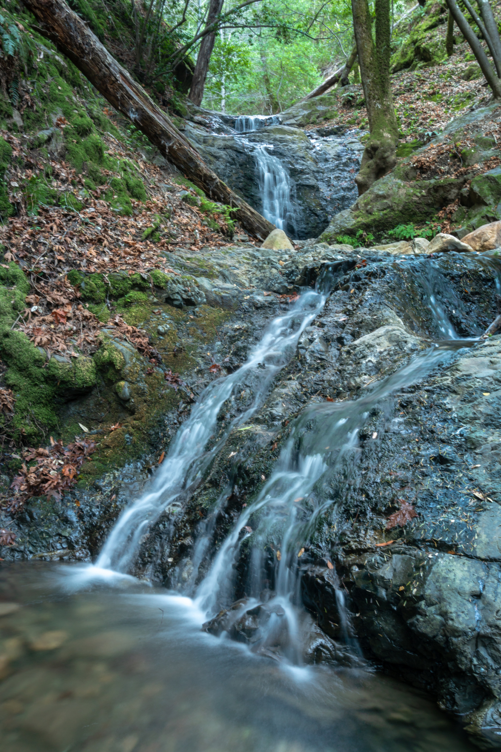
Turn left to see Upper Falls, my favorite waterfall in the park. The fan waterfall is about 15 feet high with step drop above it, flowing down bowling ball-size boulders along the creek to a pretty, four to five foot-tall cascade below.

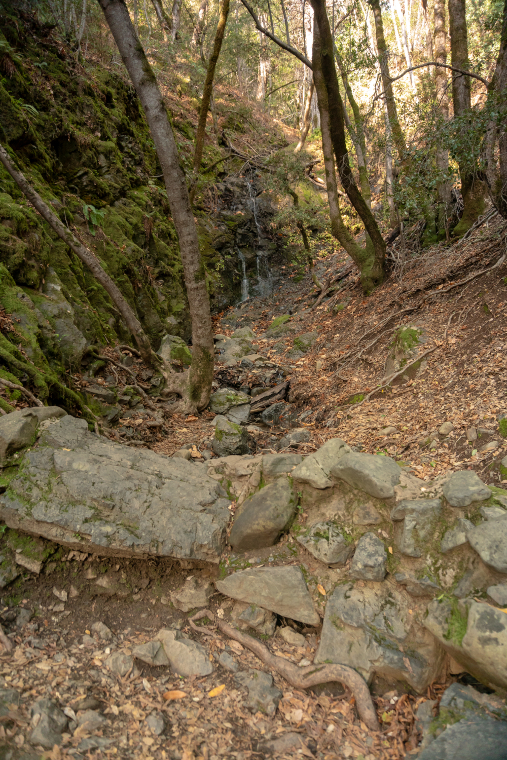
Back at the three-way junction, take the Basin Falls Trail west for 175-feet to Basin Falls. The falls are partially hidden behind a boulder, flowing in steps and turns like a waterslide to join Swanson Creek below.

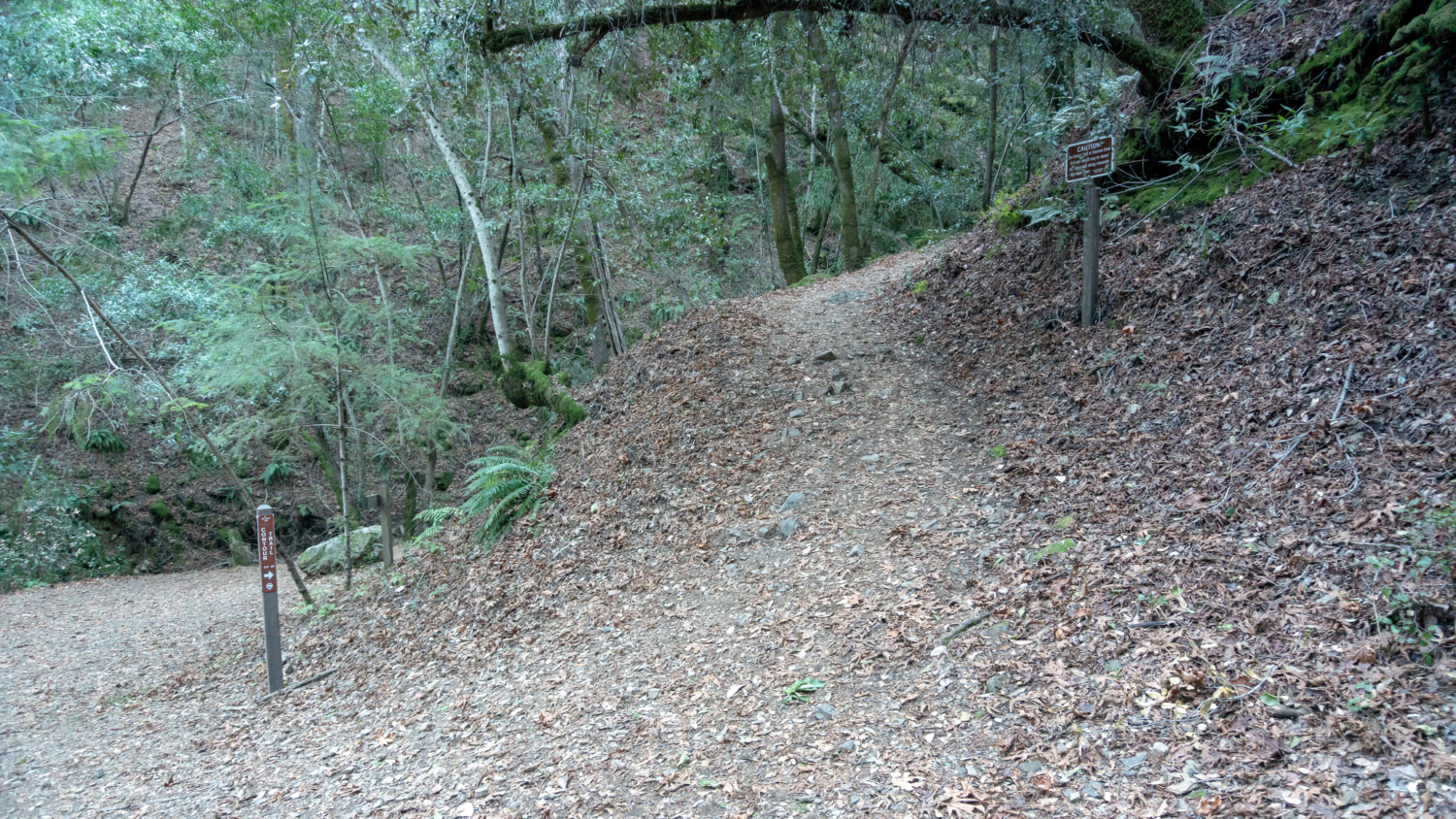
After visiting Basin Falls, return to the three-way junction. Turn right onto the Contour Trail towards the Hot House Site and Alec Canyon Trail. Pass by a top-down view of Upper Falls, climbing 150 feet in 0.2 miles to the remains of a hot house.

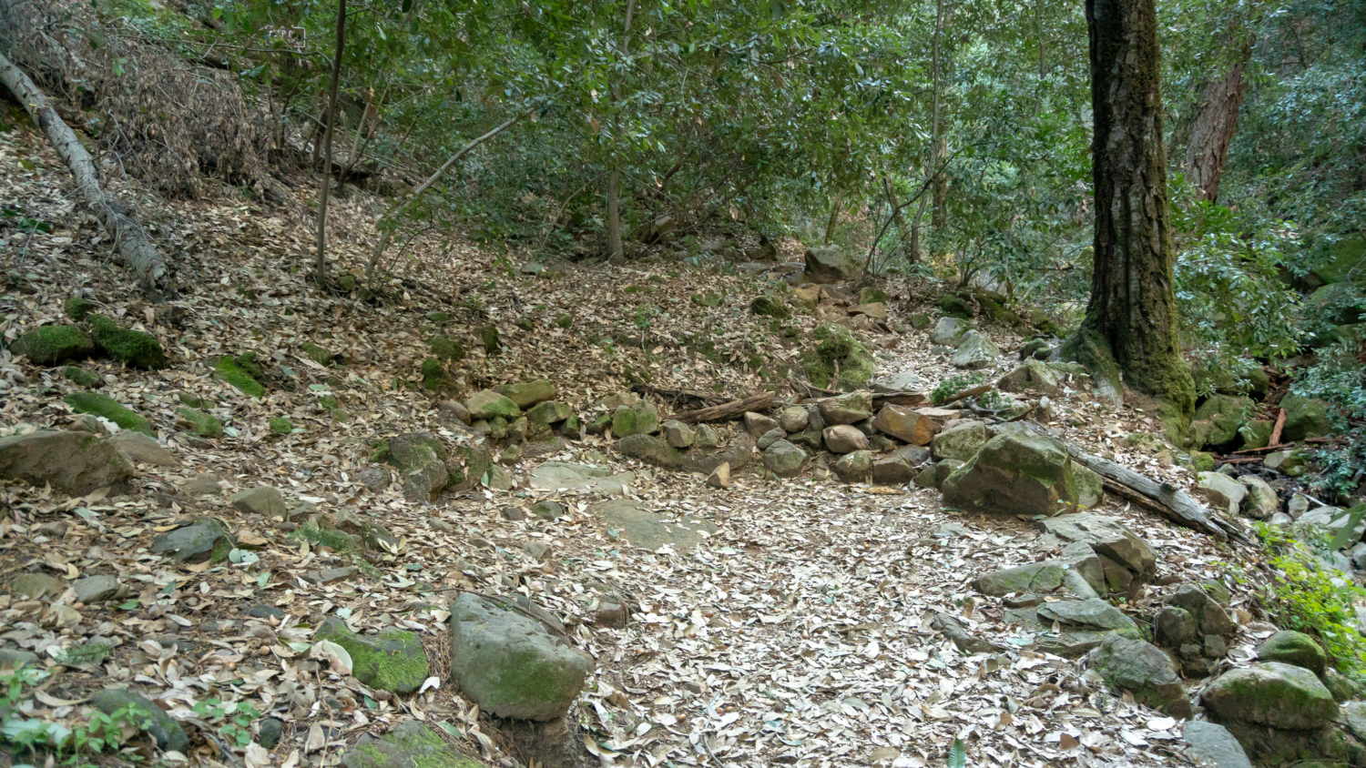
Beyond the hot house, at the 1.7-mile mark, hop over rocks across Swanson Creek towards the Trail sign. In 400 feet, make a 180-degree turn on the Contour Trail, hiking between two trees that stand like bookends. A u-shaped wall is built at the switchback, but it can be confusing, as you see a trail continuing into the forest beyond it. Ignore it and make a hard left instead.

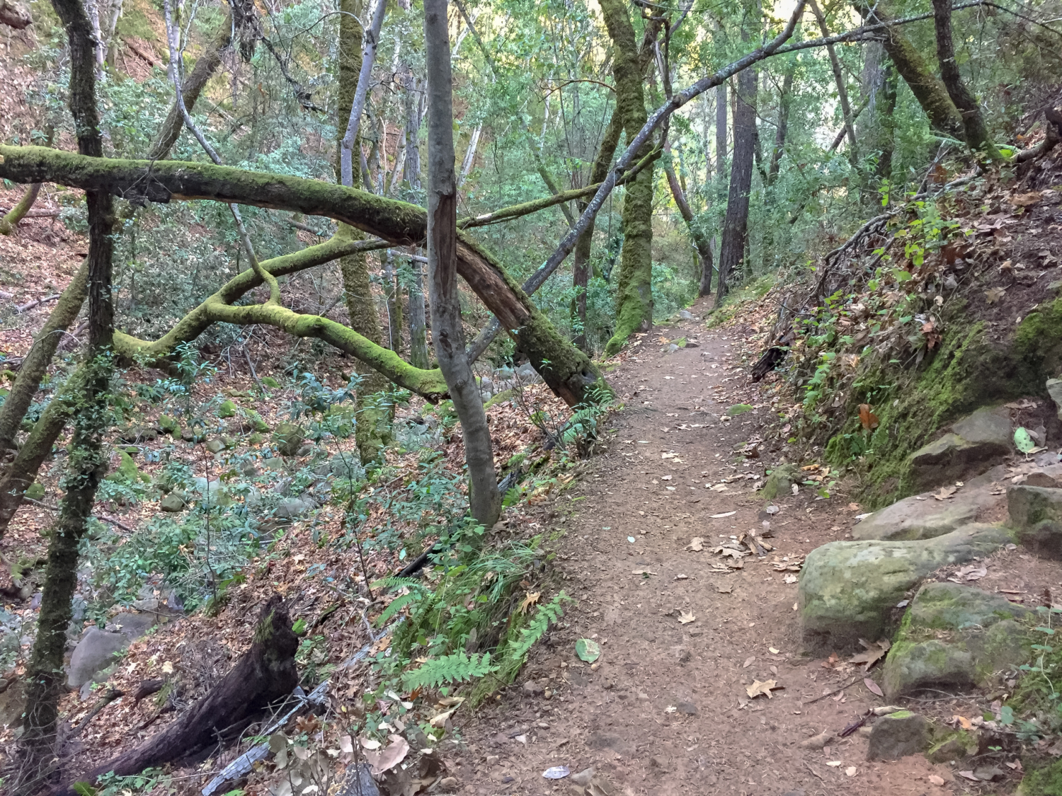
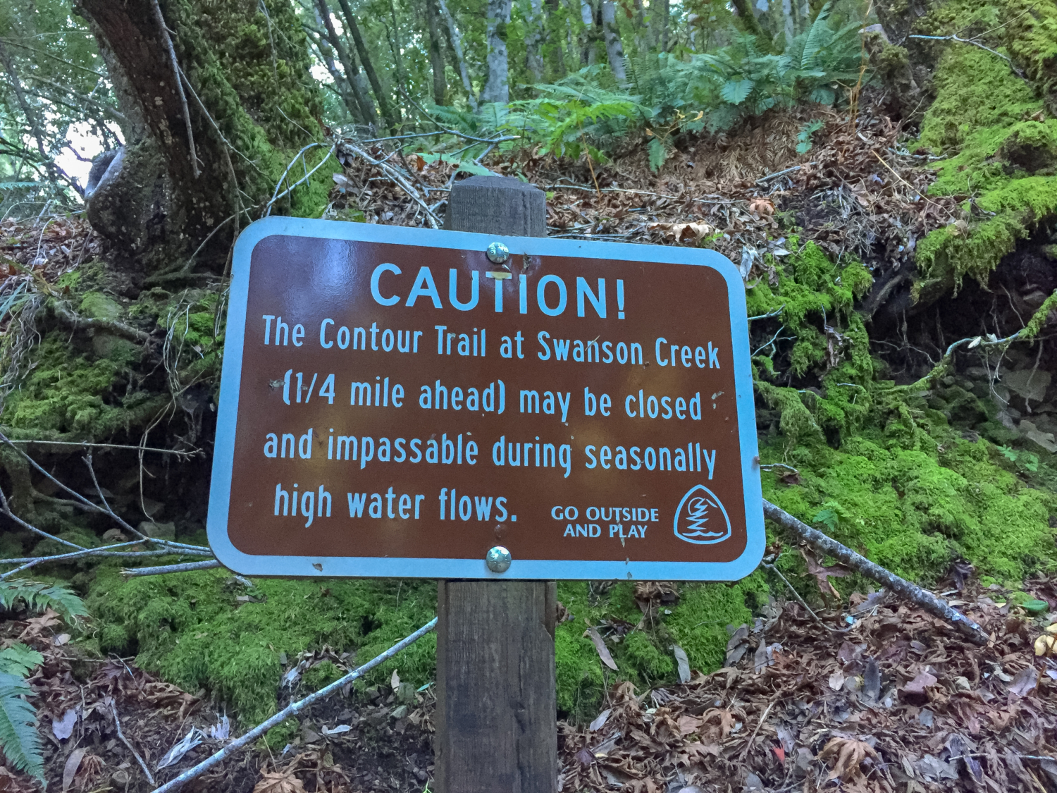
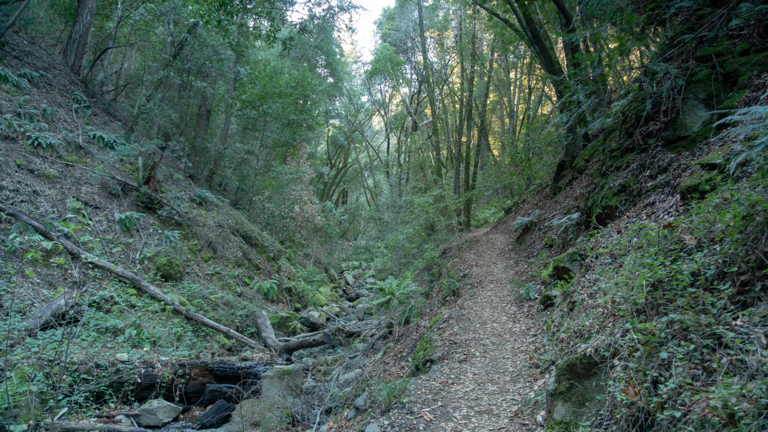
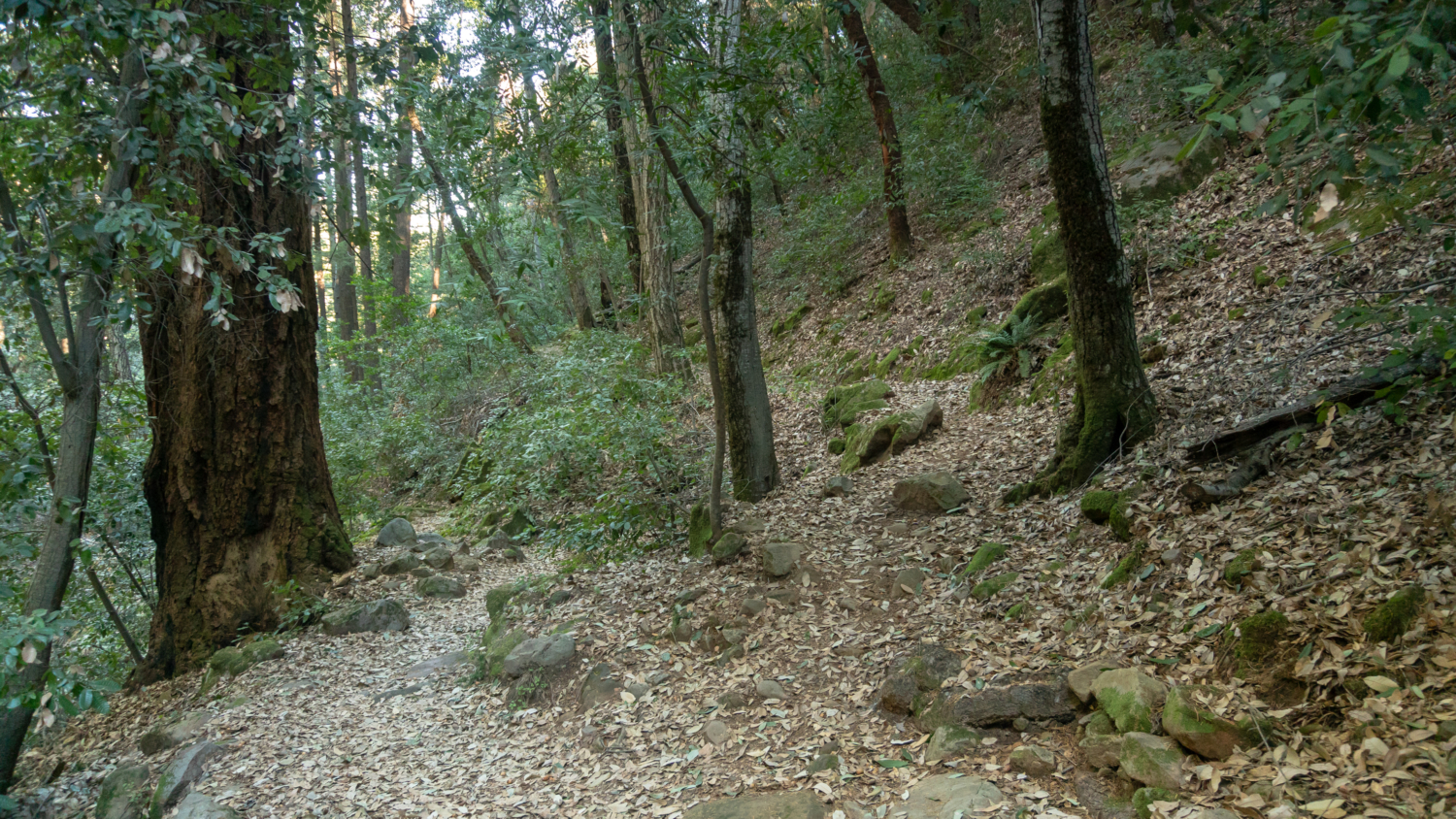
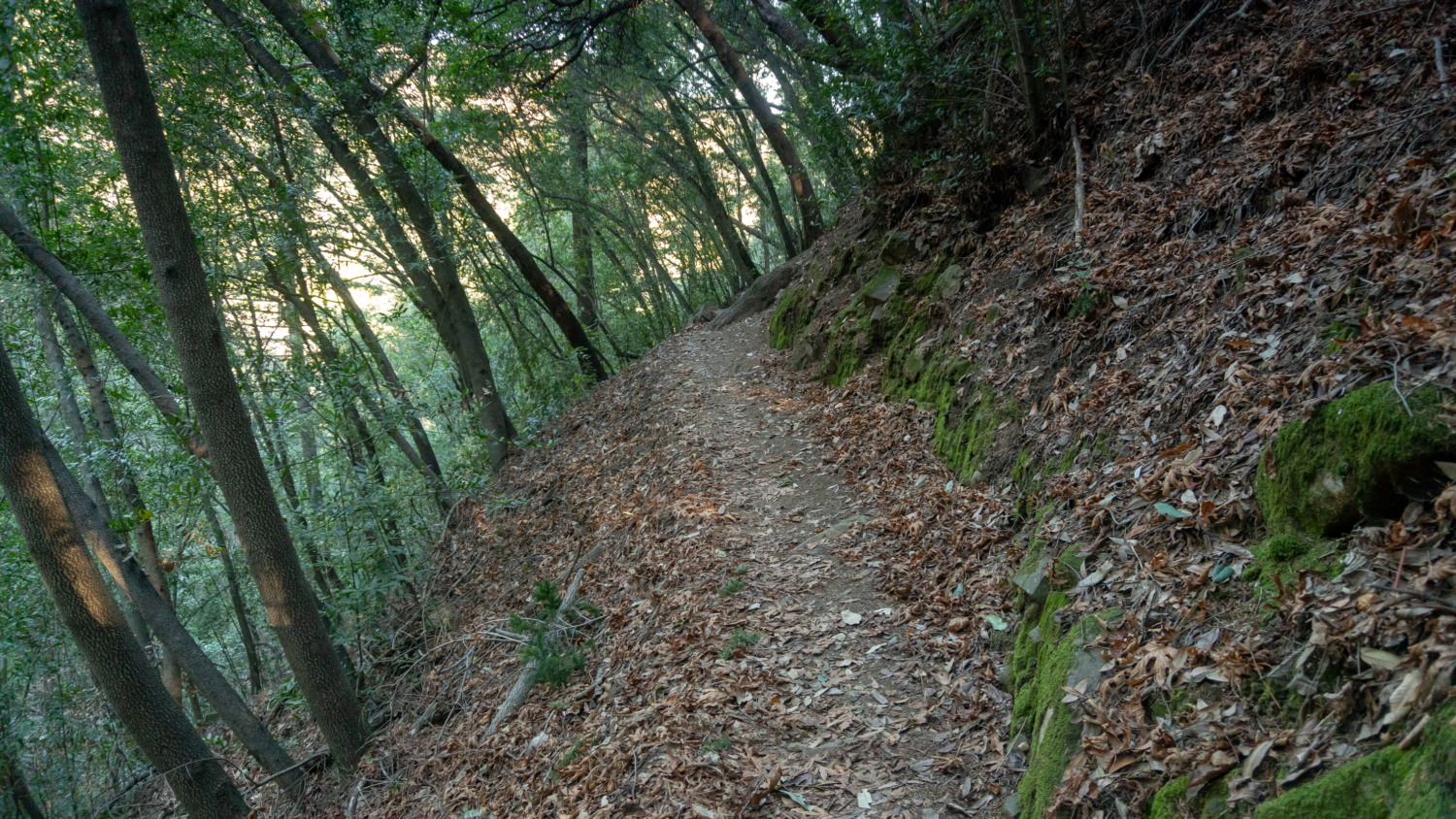
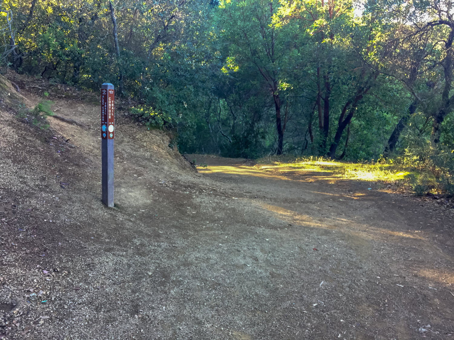
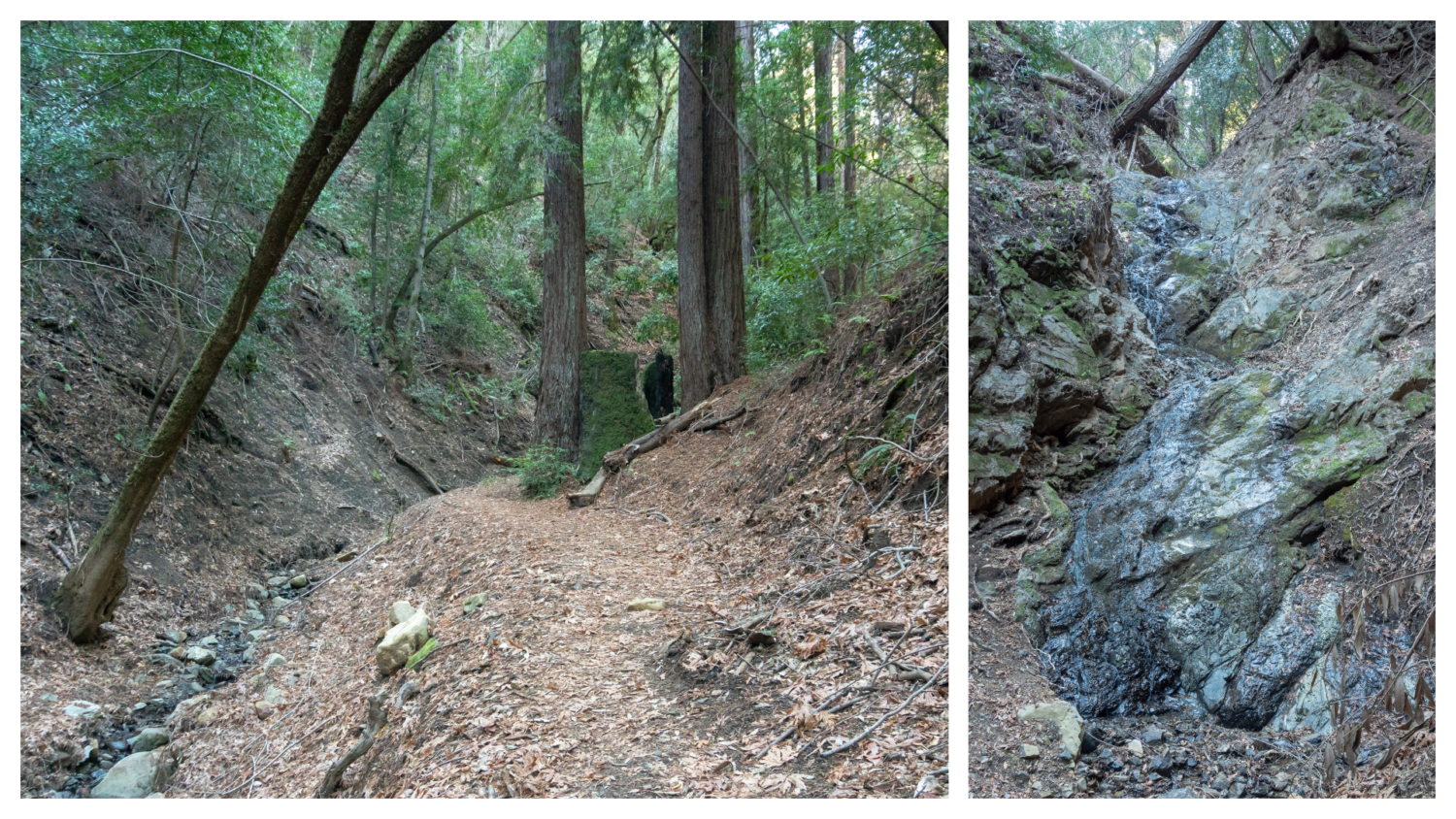
Over the next 1.2 miles the Contour Trail is as advertised, contouring northwest on the slopes of the canyon under shady madrone and Douglas fir. This trail is quieter than the popular Waterfall Loop Nature Trail, passing through ferny ravines on the way to the Alec Canyon Trail.

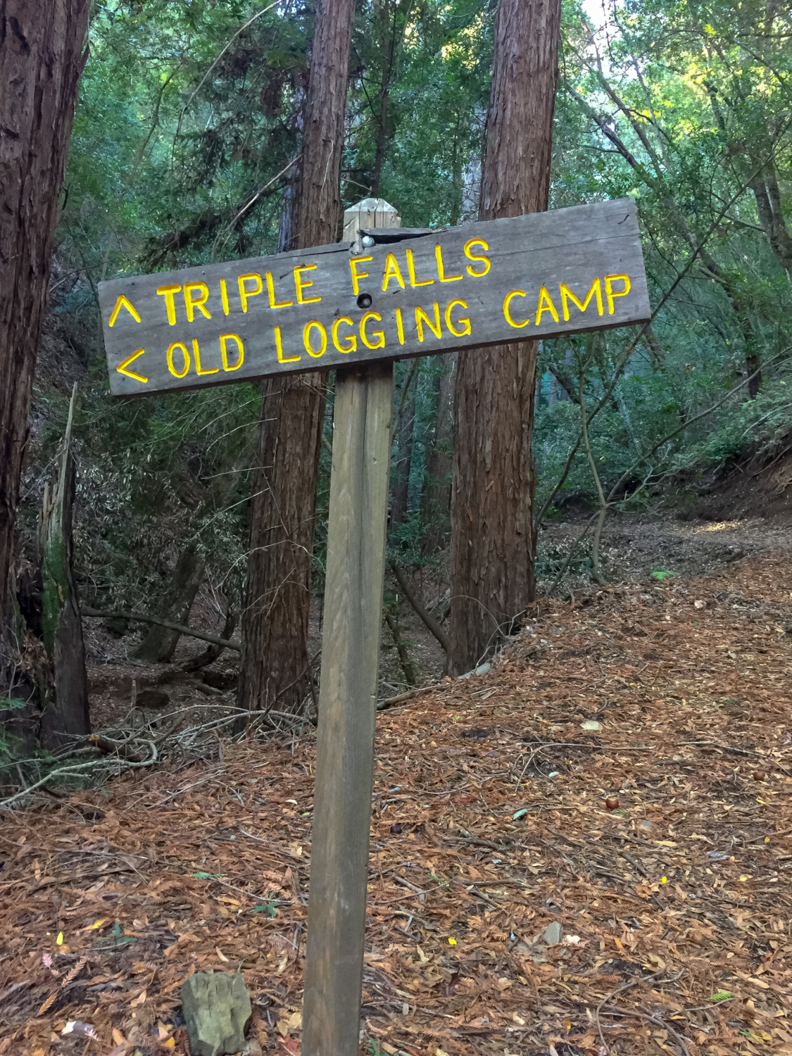
At the 3.0-mile mark, turn right onto the Alec Canyon Trail towards Triple Falls. The road opens to sun-soaked views of the Santa Cruz Mountains and foothills. A single bench overlooks Manzanita Point, the easternmost point on your loop. Past the bench, descend 100 feet over the next 0.2 miles, then turn right onto the Triple Falls Trail.

At 3.7 miles, reach an overlook of Triple Falls. As its name implies, it has three tiers, two shorter tiers on top and a taller tier on the bottom. The waterfall flows into Alec Creek and ultimately Uvas Creek and Uvas Reservoir, just like Swanson Creek. You may have guessed that “Uvas” means grapes in Spanish. Uvas Creek and Uvas Canyon were named for wild grapes that used to grow in the area.

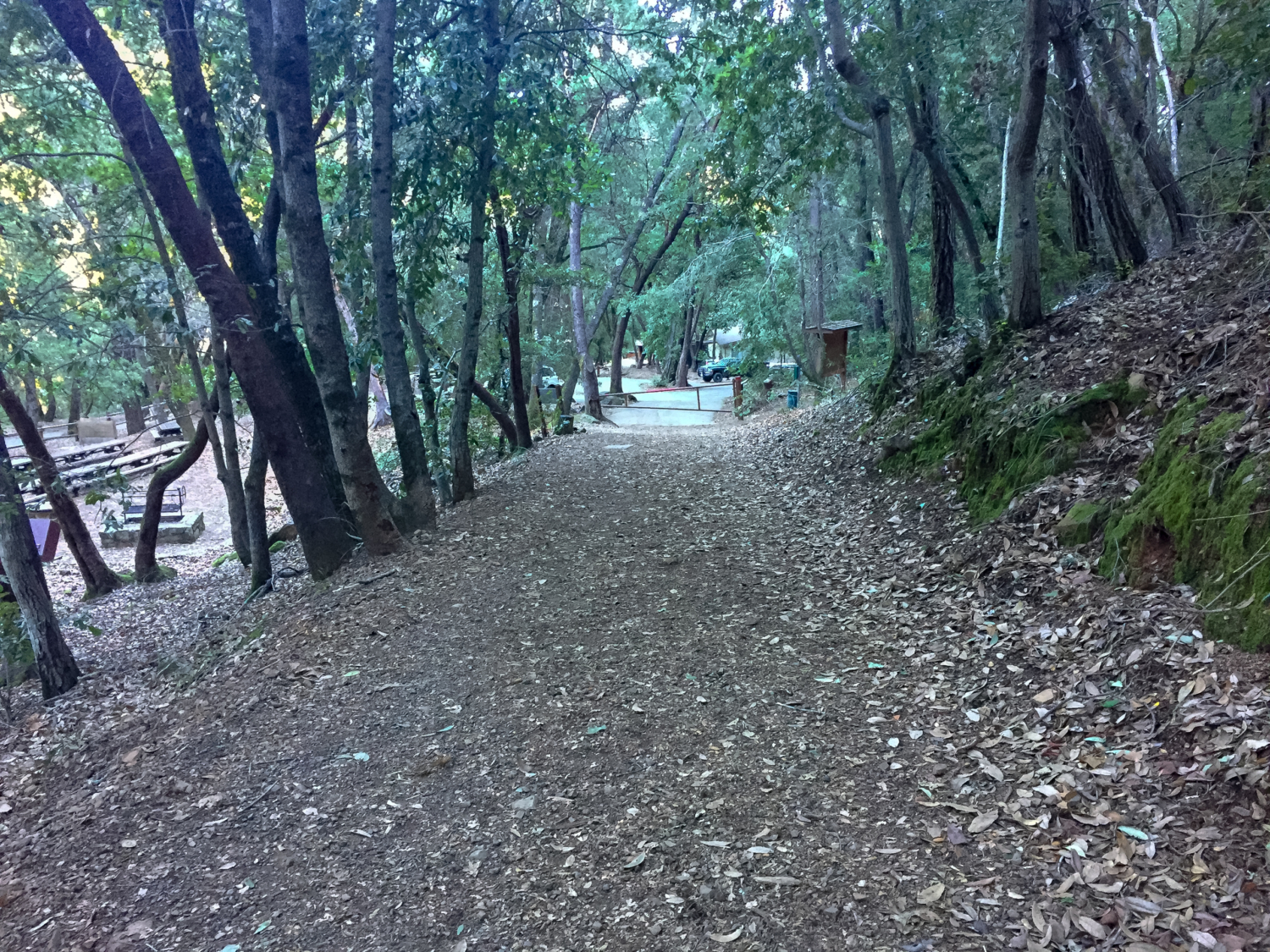
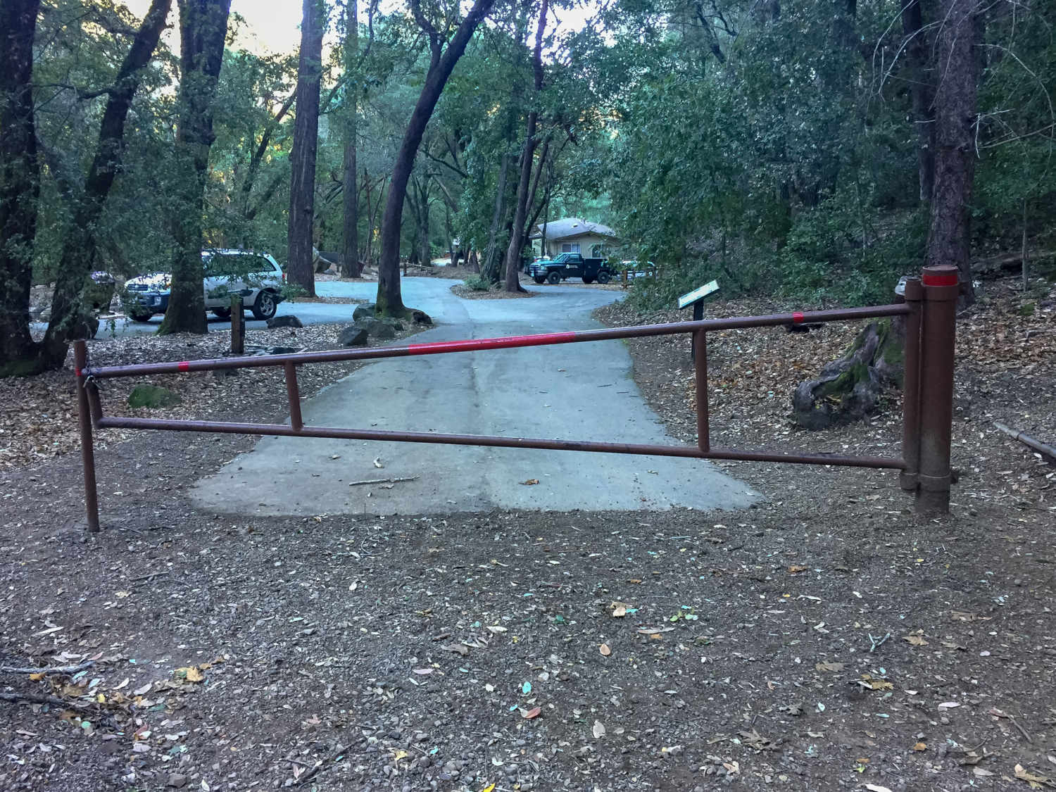
Retrace your steps back to the Alec Canyon and Contour Trail junction at the 4.5-mile mark, staying straight on Alec Canyon Trail towards Waterfall Loop Road. Descend a sharp 350 feet over the next 0.6 miles, passing the Black Oak Group Picnic Area on your left. Swing around the gate next to the Uvas Canyon County Park kiosk, rejoining the paved trail back to the parking lot at 5.2 miles.

Notes:
- Leashed dogs are allowed in picnic areas and trails.
- Bikes are not allowed on trails, but are allowed on paved roads.
- Park hours are 8:00 a.m. – sunset.
- There is a $6 entrance fee, payable at an automated kiosk at the park entrance. As of June 2018, the park no longer requires parking reservations on weekends. Still, it’s not a bad idea to double check before you go. The park office number is (408) 779-9232.
- Restrooms are located near the day use parking lot.
- Here are the Uvas Canyon trail map and the Waterfall Loop Nature Trail interpretive guide. Both are available at kiosks in Uvas Canyon County Park.
Tags: san francisco, Santa Clara County Parks, Santa Cruz mountains, South Bay, Uvas Canyon County Park, waterfall hikes, waterfall loop hike, waterfalls


