Tucked along Pasadena’s western border is the Arroyo Seco. Featuring an eclectic mix of traditional green spaces as well as more wilderness areas, this local park is home to 22 miles of hiking trails, including the Lower Arroyo Seco Loop, the Rose Bowl Loop, and the 2.1-mile Upper Arroyo Seco Loop. While it isn’t a pure nature experience, this short but mighty hike takes you through a wide variety of environments that many longer trails fail to offer. It’s an easy, effective, and entertaining way to get your outdoor fix.
Parking is simple and straightforward – there is a dirt lot big enough for at least 20 cars just south of the trailhead at the northwest corner of the Rose Bowl Loop, next to the intersection of West Washington Boulevard and West Drive. While there are no amenities except a trash can, you can find bathrooms and water fountains about 1.5 miles away at Brookside Park. Cross Parkview Avenue/West Drive to begin your hike.
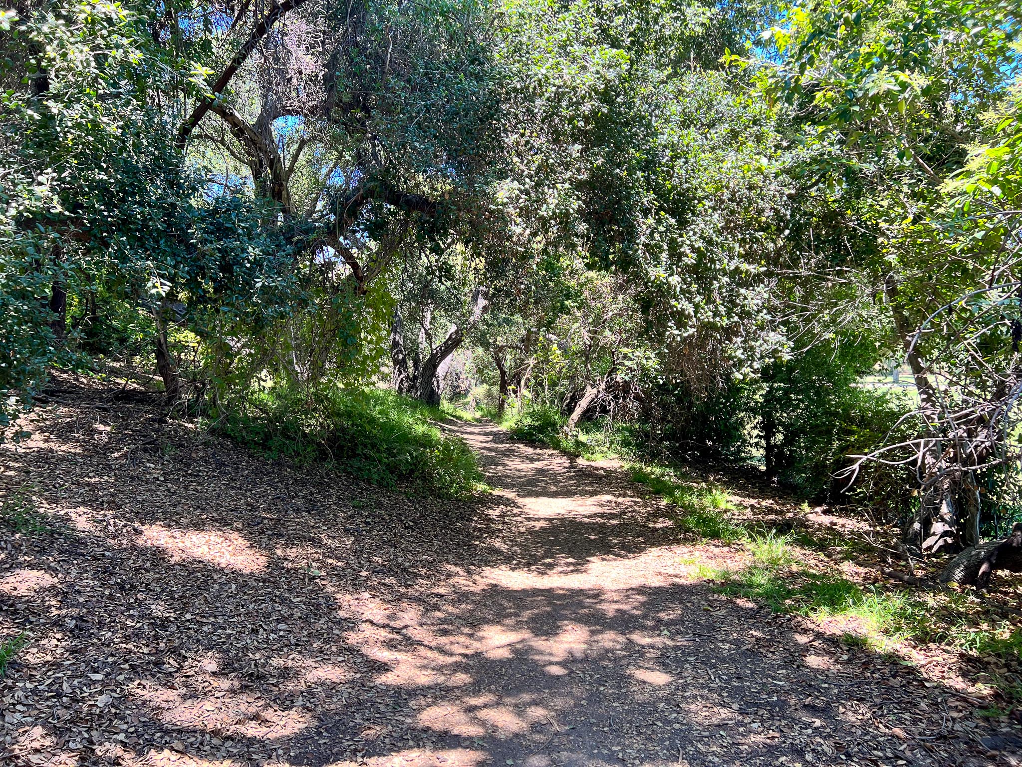
This forested and green trail sits right next to a popular golf course.
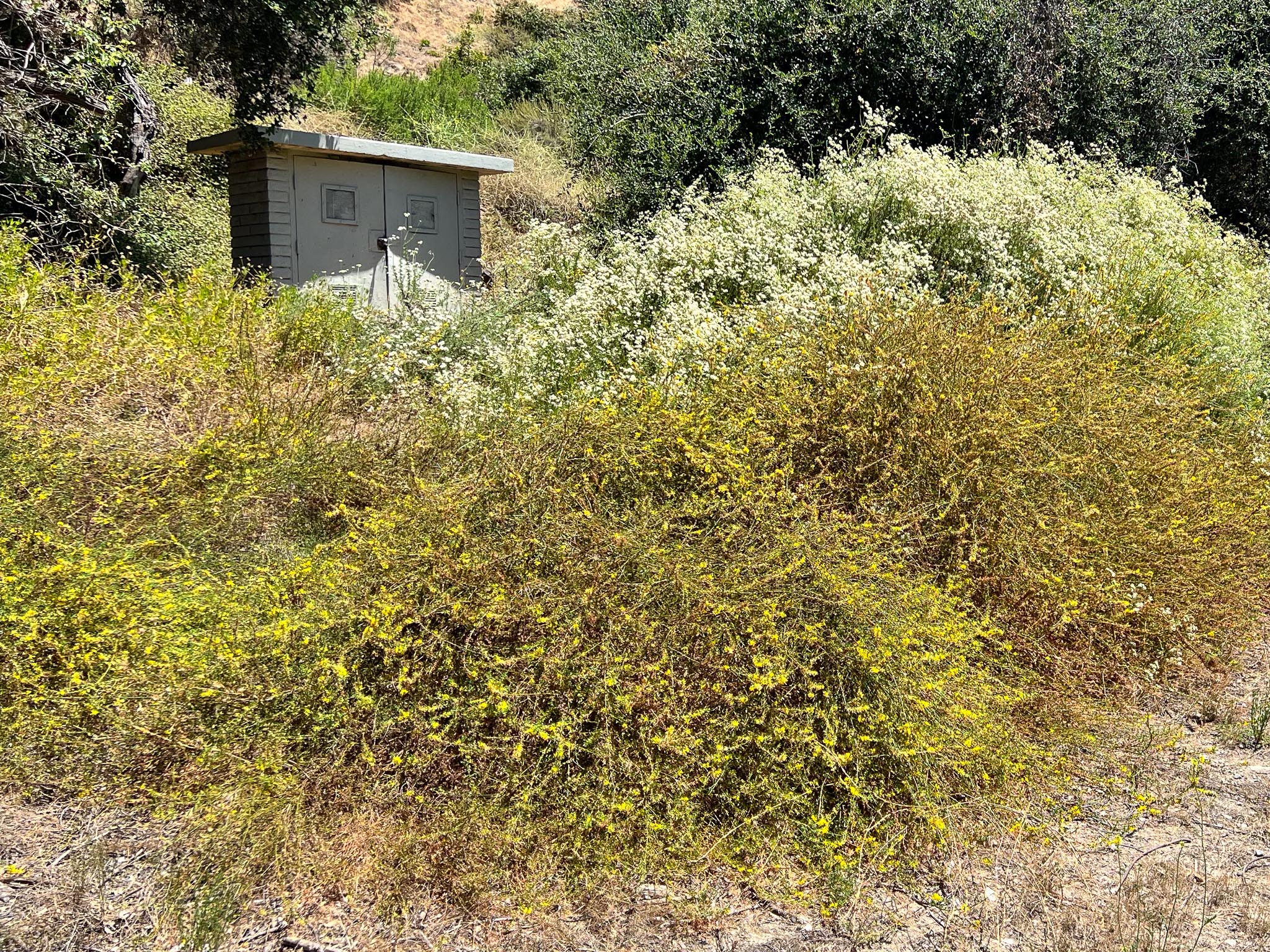
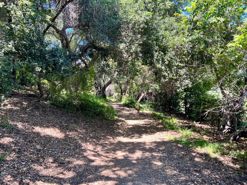
The first 0.5 miles take you along a mostly flat, shaded, and well-manicured path, featuring a healthy variety of trees and other plant life. Along the way, I identified the native Coast Live Oak, as well as the invasive Tree-of-Heaven. Also prevalent are many different grasses, ferns, and ivies – a surprise given Southern California’s hot, dry summers and a testament to how lush and almost tropical the environment feels. And, of course, more desert-friendly vegetation such as the American Century Plant and Palm Trees were thriving as well. This section, however, isn’t all sublime wildernesses.
Abutting the right edge of the trail is a chain link fence, which separates you from the fairways and greens of the Brookside Golf Club. As you hike, you can’t help but notice the striking contrast between a verdant and untamed version of the outdoors its curated and utilitarian alternative. On one side is a dense forest filled with a variety of plant species. On the other are manicured grass fields and golfers so close you can eavesdrop on their conversations. And in the distance are multimillion-dollar Pasadena homes.
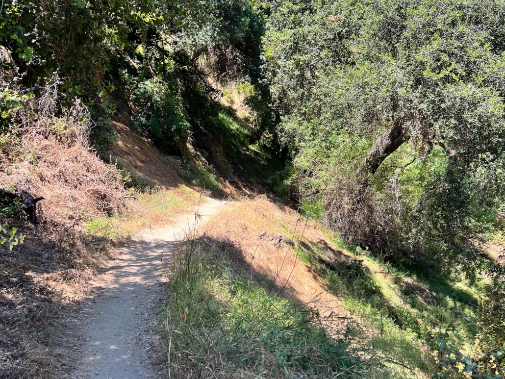
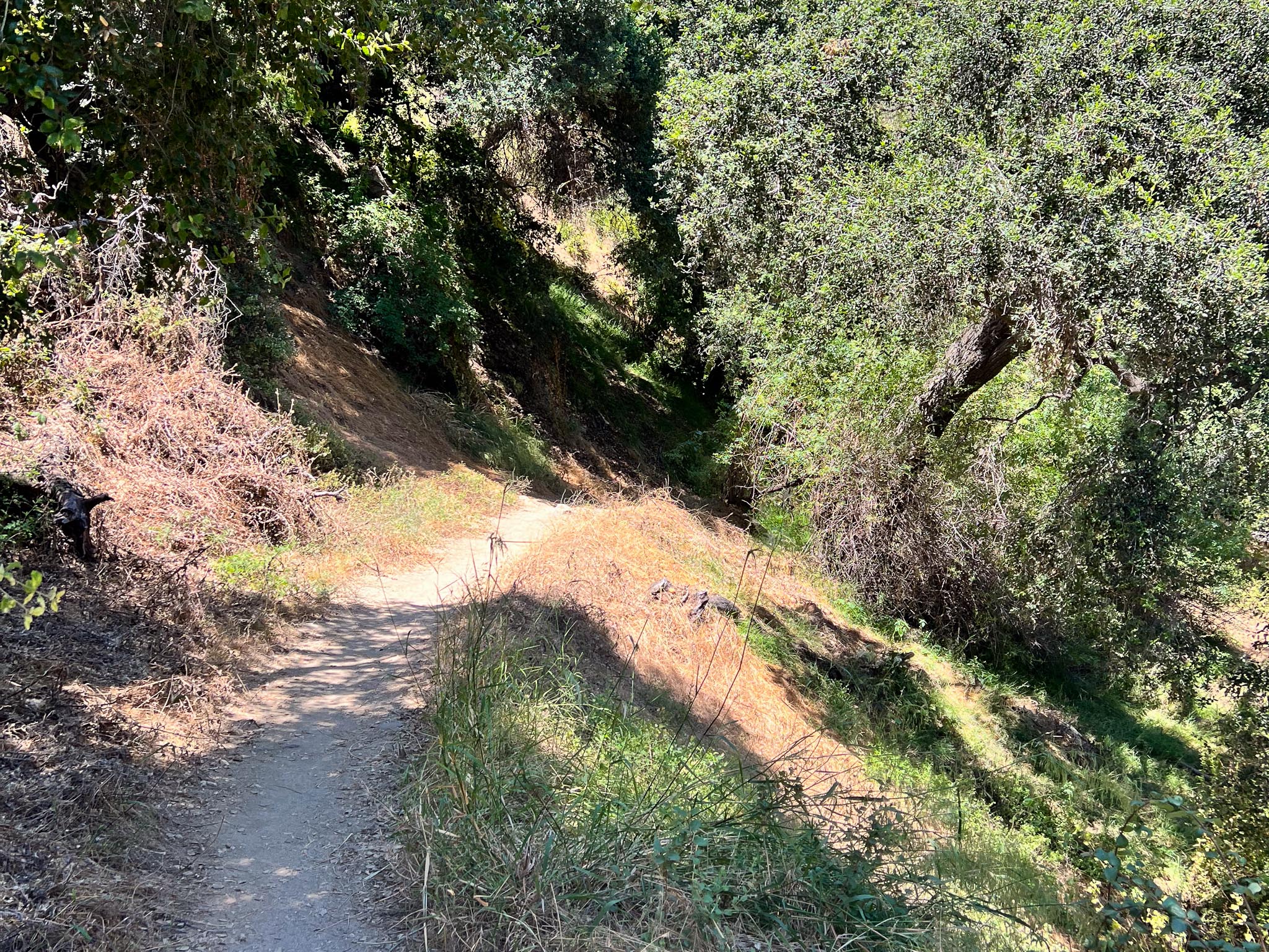
Once past the golf course, the trail begins to feel slightly more wild. Continue on to find the 210, Arroyo Seco, and Devil’s Gate Dam.
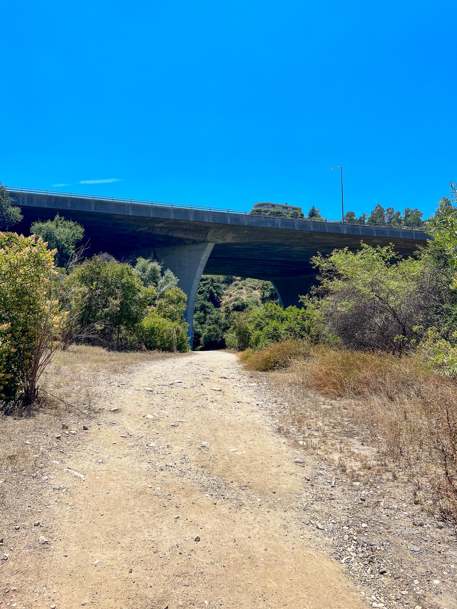
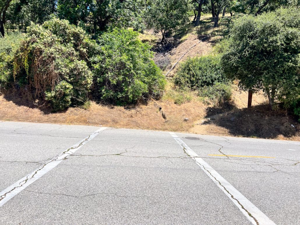
After half a mile, you’ll pass the golf course and traverse over a small hill and through a slightly more overgrown trail. Up above, you’ll begin to see and hear vehicles driving along the 210. At 0.7 miles, the trail becomes sandier and takes you under the freeway – it’s a little unsettling hearing cars zooming overhead. Once through, you will turn right to trek across the Arroyo Seco, a seasonal river. While it’s an easy crossing most of the year, it might be impassible after heavy rains like those Southern California experienced during the 2022-2023 winter.

Turn right after crossing the Arroyo Seco to continue on the hike. Head left and through the Devil’s Gate Dam to reach Hahamonga Watershed Park.
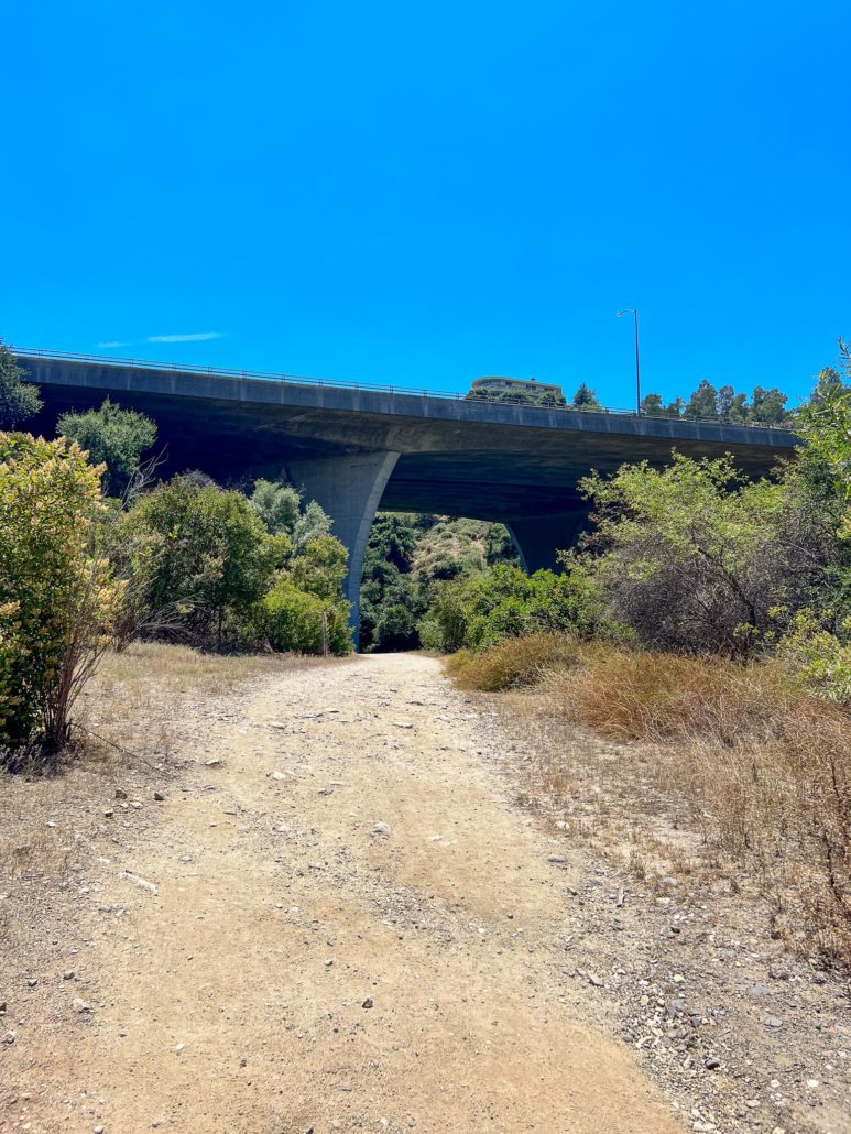
You’ll feel small walking under the 210.
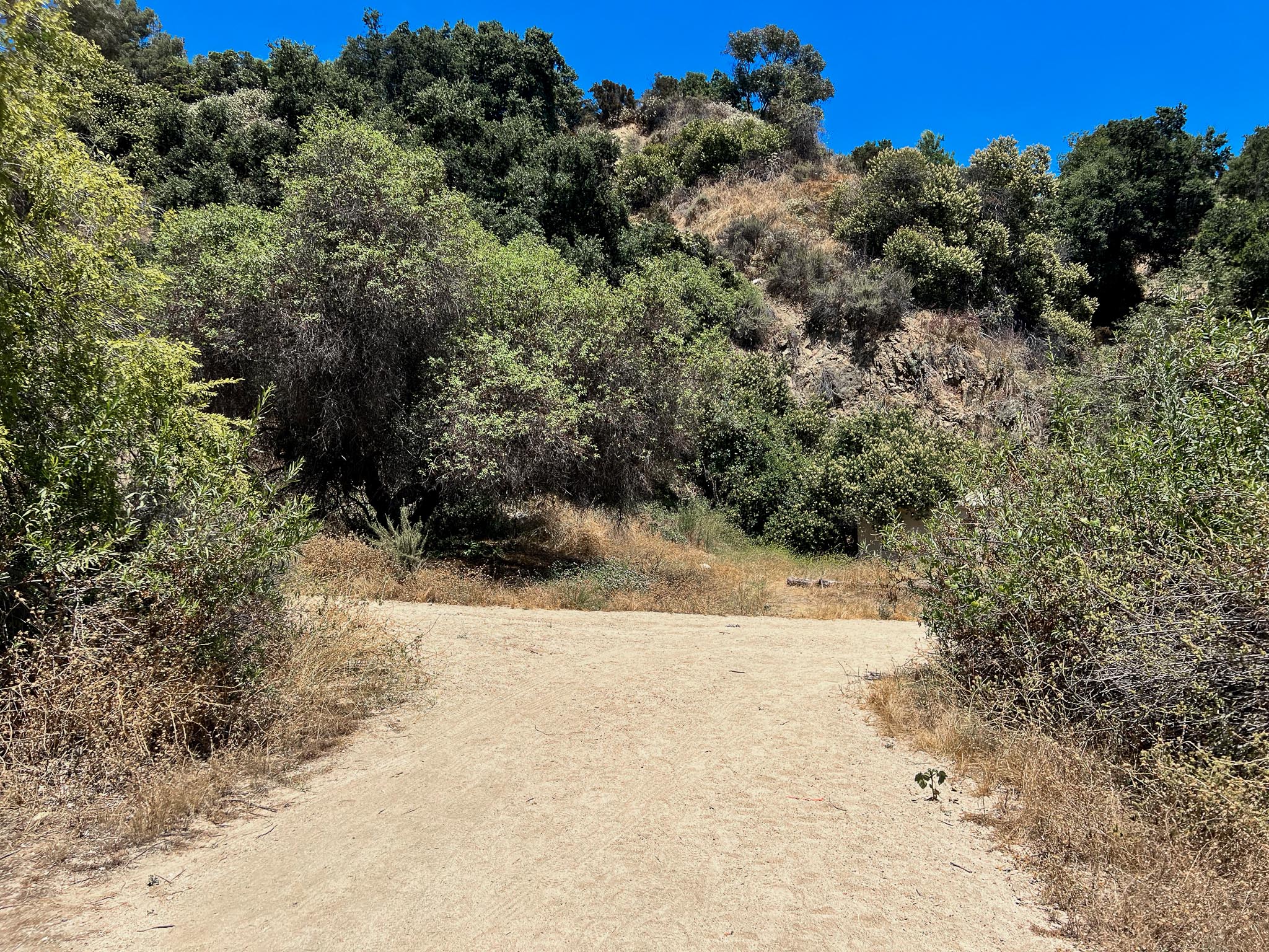
Once across, hike past the ropes course and turn right to head back under the 210 (to your left is the supposedly haunted Devil’s Gate Dam). You’ll now be trekking on a flat exposed dirt road. Along the way were several flowering plants, including California buckwheat, Dearweed, and Laurel sumac. At mile 1.1 the golf course will once again come into sight.

California buckwheat and Dearweed along the trail.
Hike 0.2 miles further and you will reach a junction. Though all routes will lead you in the correct direction, I decided to head right, as it was the most well-defined path. Once you reach Rosemont Avenue, look for the marked crosswalk to rejoin the trail (from where I was, I turned left and hiked uphill for about 250 feet).
Cross Rosemont Avenue to continue on your trek.
The path now takes you parallel to the road and features the most expansive views of your hike. Also, to your left, you’ll also find several old and seemly abandoned buildings. Be careful while trekking here, as the path is not well maintained and has several steep drop-offs.
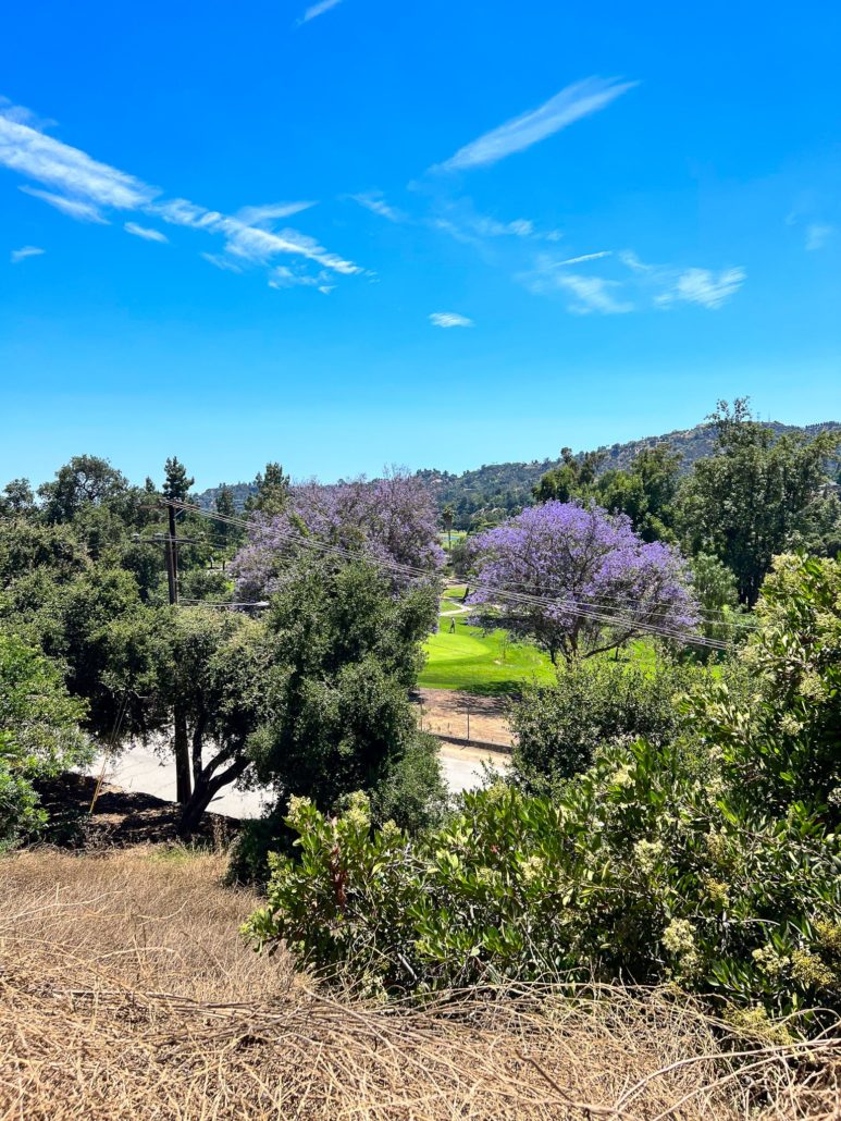
Above the road, you now can see the golf course and the hills from your elevated vantage point.
At 1.8 miles, you’ll run into a concrete road. Turn right and walk downhill to connect with the northeast edge of the Rose Bowl Loop. Compete your journey by hiking counterclockwise along the protected concrete path back to the start.
Tags: arroyo seco, Pasadena, rivers, Rose Bowl, Urban Trail