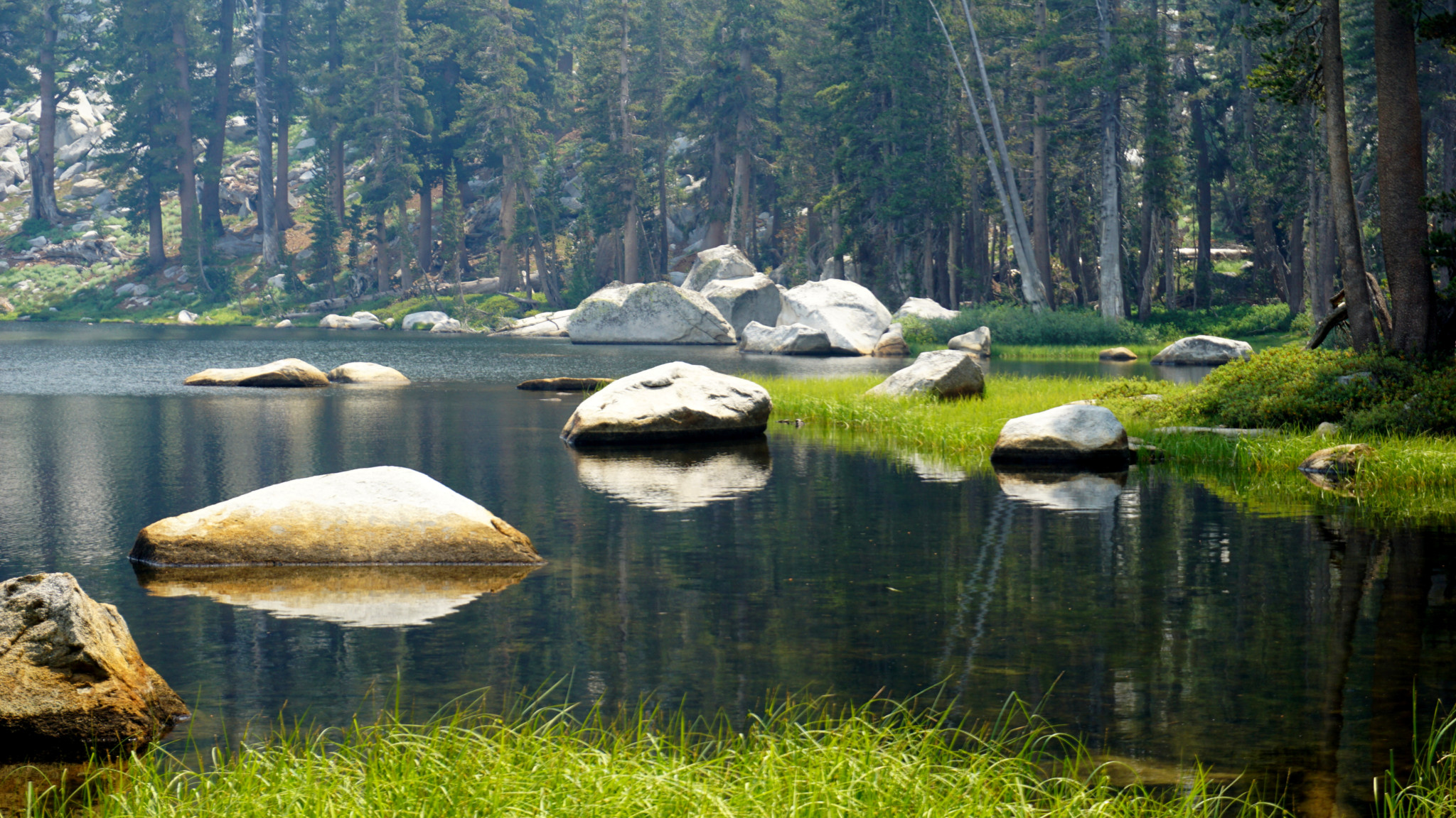
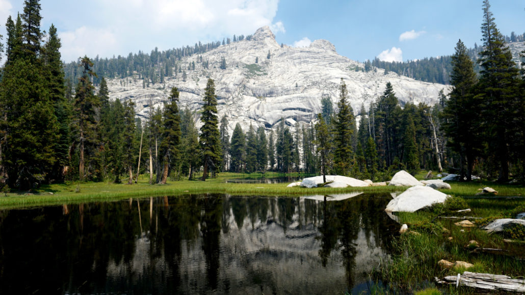
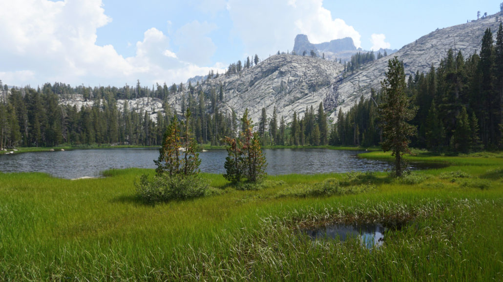
Nestled into a basin below the rugged spine of the Silliman Crest, the Twin Lakes beckon day-hikers and backpackers to their placid shores during the summer months. Despite the symmetry implied in their name, the lakes actually bear little resemblance to each other. The southern lake is at least twice as large and bears more resemblance to the typical subalpine Sierran lake. The northern lake is much smaller and swampier, although most vantages along the northern lake’s bank offer a beautiful view of the Twin Peaks (also disproportionate) crowning the Silliman Crest just north of Silliman Pass.

This route is short enough for ambitious day-hikers while also being just short enough for leisurely or beginning backpackers. Well-used campsites ring the southern lake and the narrow strip of rocky forest between them, and bear lockers and a pit toilet provide the camping area’s only amenities. Anybody seeking to camp at the lakes will need to obtain a wilderness permit in advance from the Sequoia-Kings Canyon Wilderness Permit office. To do so, download the wilderness permit application and email it to [email protected] no earlier than midnight on March 1st. The permit office will respond to your request and grant you whichever dates are available. From that point, you need only obtain the physical permit from the Lodgepole Ranger Station prior to your hike.
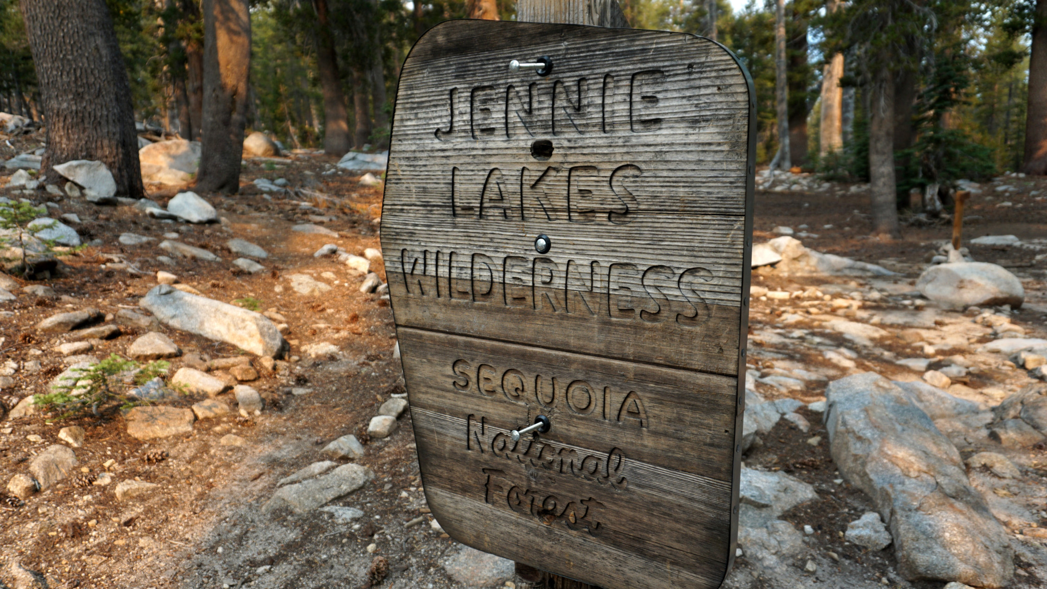
In addition to the route to Twin Lakes, I’m including an additional looping route that takes in some of the lake basins east of the Silliman Crest, including Ranger, Beville, Lost, and Seville Lakes. The return route dips into the Jennie Lakes Wilderness by way of Rowell Meadow before dropping back down to Clover Creek by way of J O Pass. If you are looking to extend your trip beyond Twin Lakes consider this additional route. Even if you are only stopping to camp at Twin Lakes before turning back, definitely consider climbing at least up to Silliman Pass to enjoy some of the views into the Kings Canyon high country.
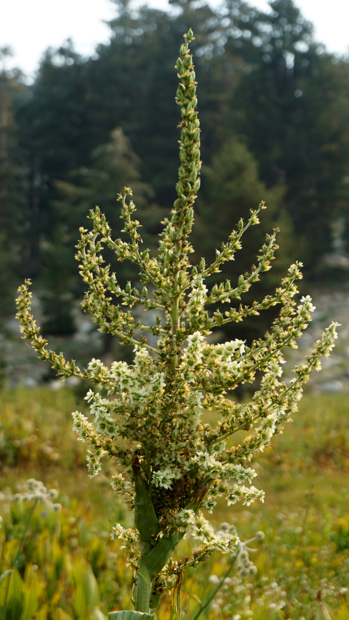
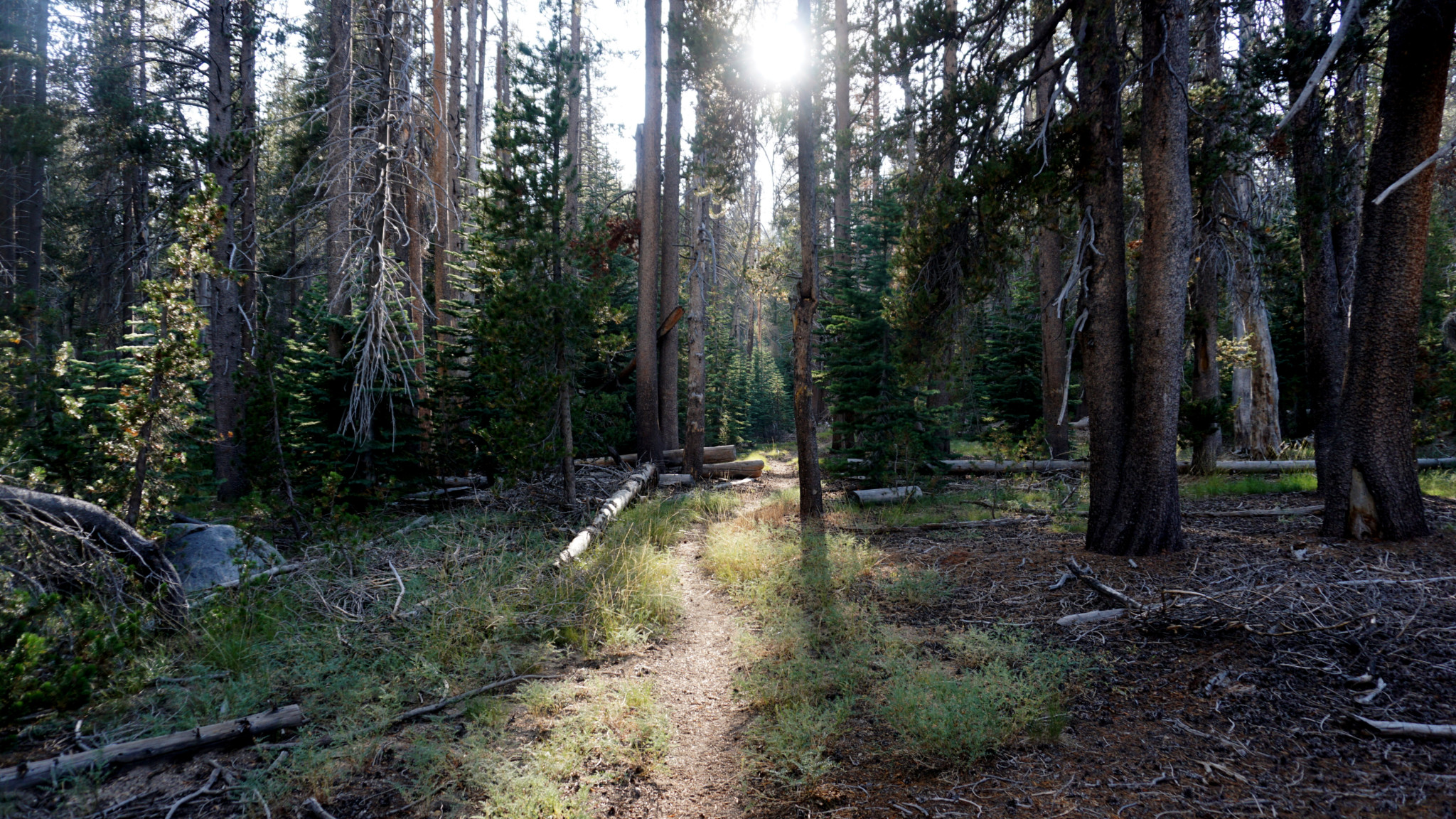
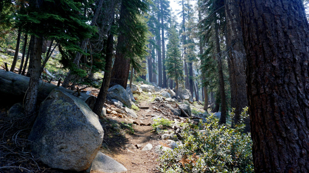
From the spacious parking area adjacent to the Lodgepole bus stop and the bulk of Lodgepole’s campsites, head east to a bridge crossing the Marble Fork Kaweah River. Once on the other side, you will see the Tokopah Valley Trail on the right. Another 30 yards past this trailhead is the signed Twin Lakes Trailhead. Join the rocky footpath as it circles around a set of campsites before commencing an oblique climb of Tokopah Valley’s northern wall. The moderate climb passes through open mixed-conifer forest dominated by Jeffrey pine and incense cedar with a fragrant understory of mountain misery and mountain manzanita.

At just shy of one mile, the trail levels out and bends to the north. At the same time, the composition of the forest changes dramatically from the drier, open pine-and-cedar forest to a dense, almost oppressive canopy of white and red fir. Expect your GPS unit (if you’re using one) to struggle on this section. For the next 1.2 miles, the trail ascends at a gentler clip as it approaches Silliman Creek (2.3 miles) while also passing a junction with the Wuksachi Trail near a tributary creek draining Willow Meadow to the east. Once at Silliman Creek, be sure to keep your contact with the water to a minimum. This watercourse is the domestic water supply for Lodgepole. The usual Leave No Trace etiquette regarding watercourses is that you shouldn’t eliminate human waste within 100 feet of a creek. In this case, keep it to more like 100 yards of the creek so that the good people downstream don’t enjoy any special additives to their drinking water.

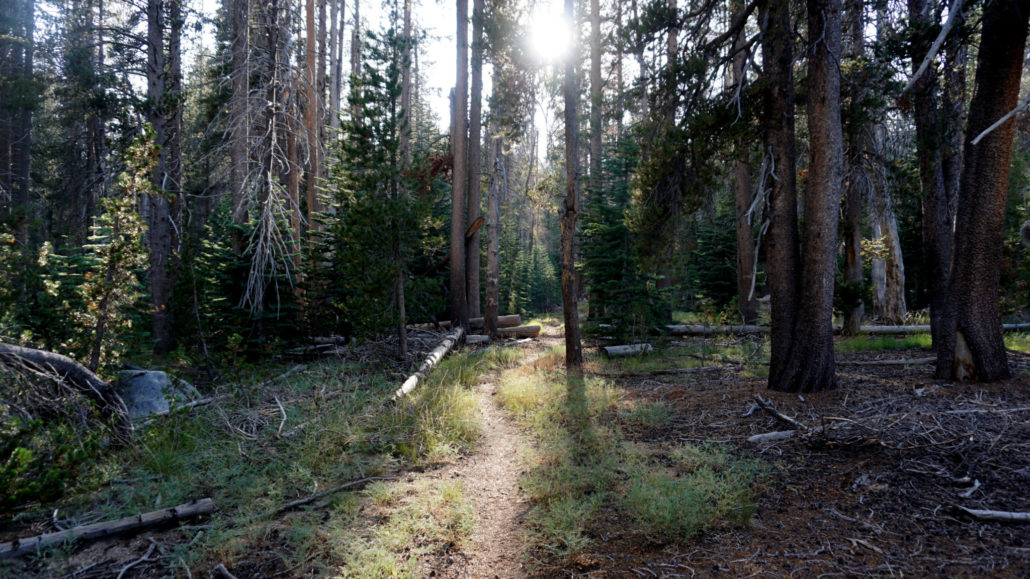
- Cahoon Meadow
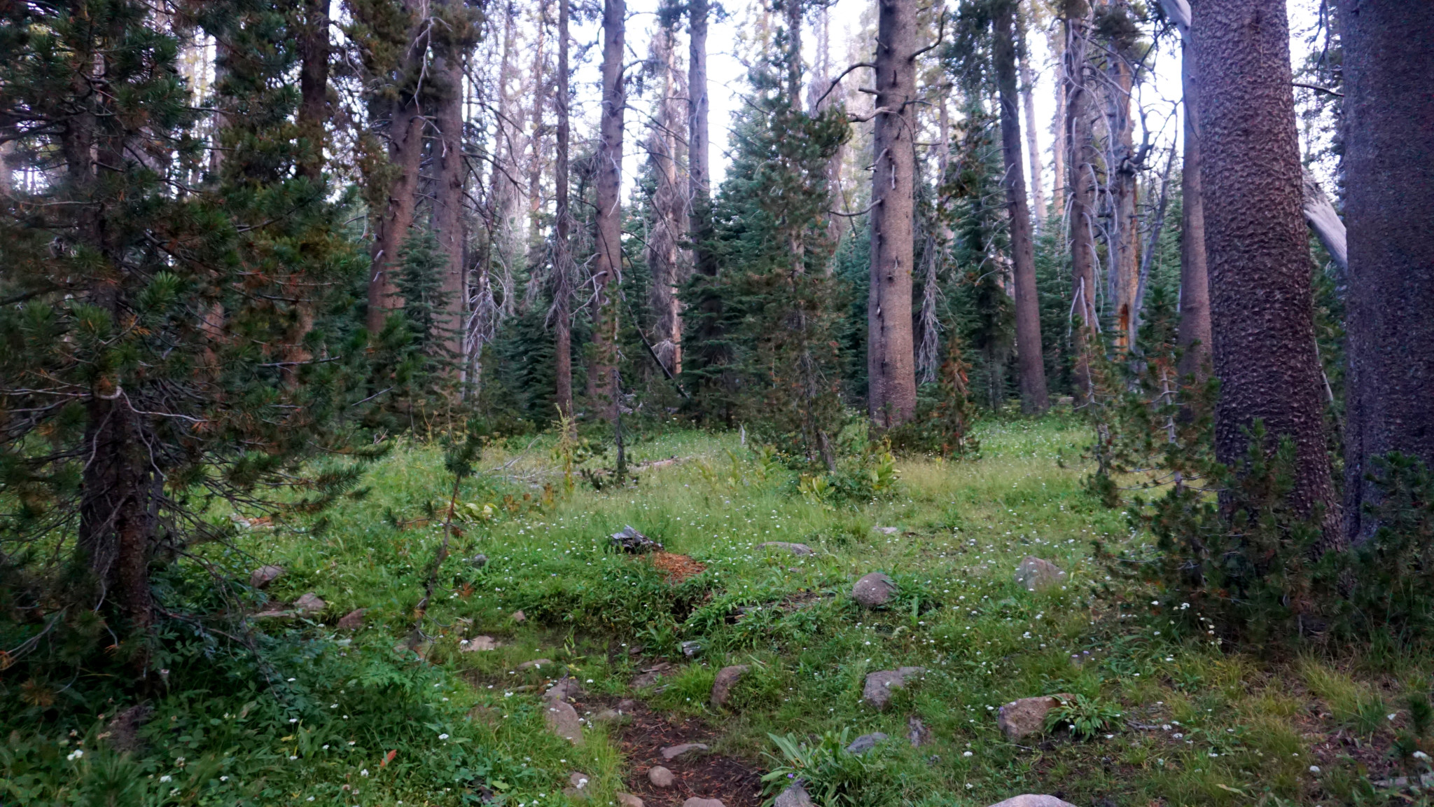
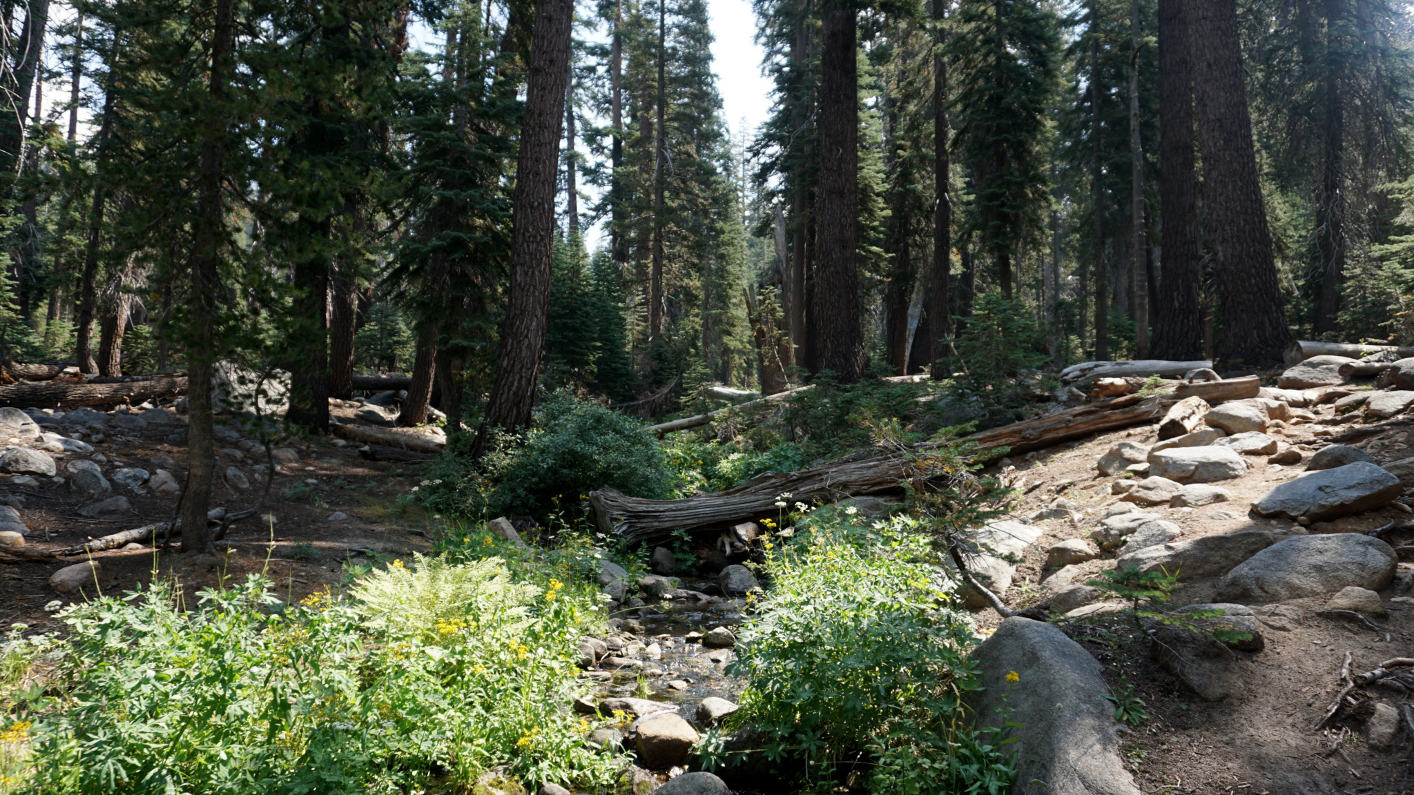
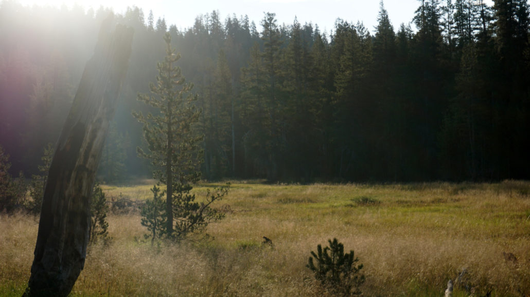
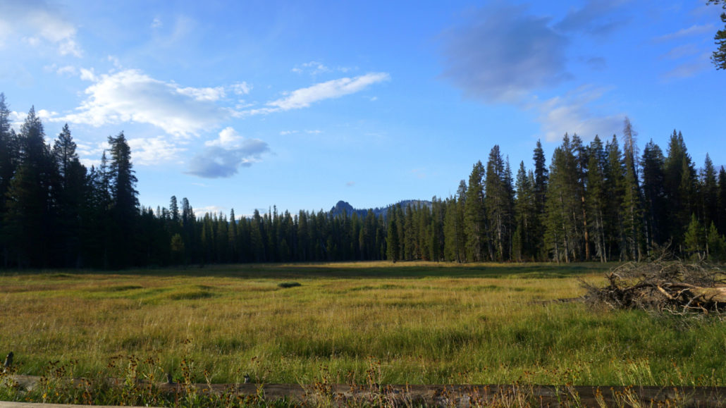
After rock-hopping over Silliman Creek, the trail gains a quick 200 feet before turning west to wrap around a ridge dividing Silliman Creek from a smaller tributary creek draining Cahoon Meadow (2.7 miles) – your next destination. The trail flattens out briefly along the football-field sized meadow before commencing a hearty 1.5 mile climb to Cahoon Gap (4.3 miles), a shallow saddle that divides Silliman Creek’s watershed from Clover Creek’s.
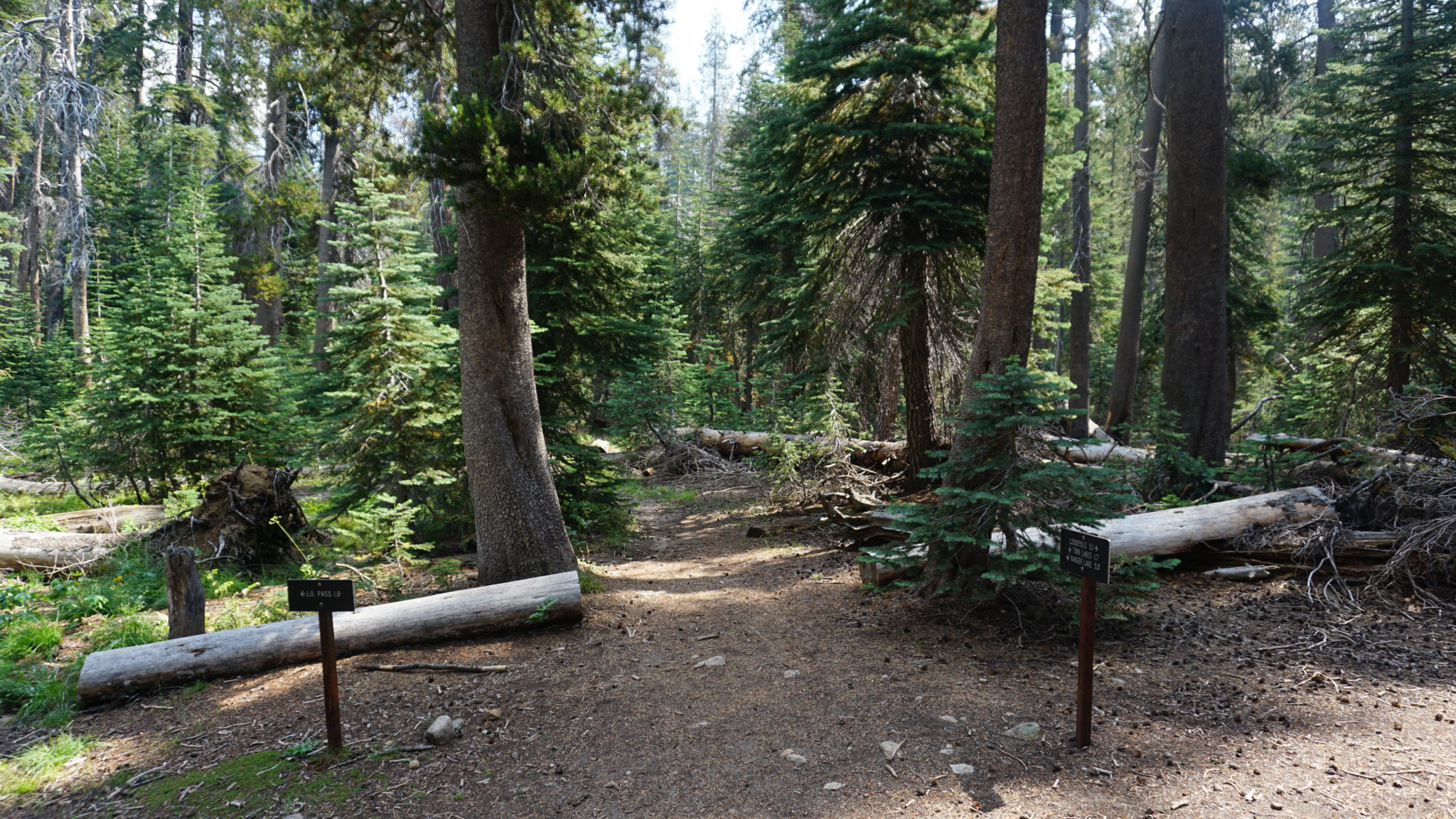
After cresting the gap, the trail drops a little over 200 feet before reaching a battered old bear locker along a tributary of Clover Creek (4.8 miles). About a .25 mile north of this junction, you will reach second bear box just south of the junction (5.1 miles) with the Twin Lakes Trail and the trail continuing north to J O Pass. This junction along the banks of Clover Creek serves as a possible campsite if you’re getting a late start, but you may find it more conducive for a mid-hike break.
- Southern Twin Lake
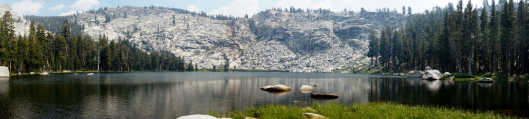
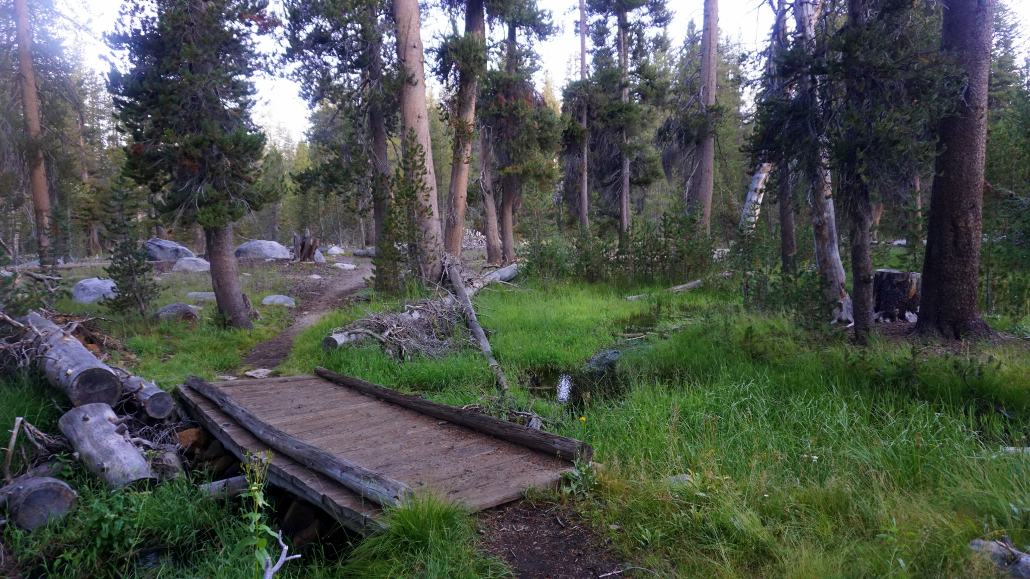
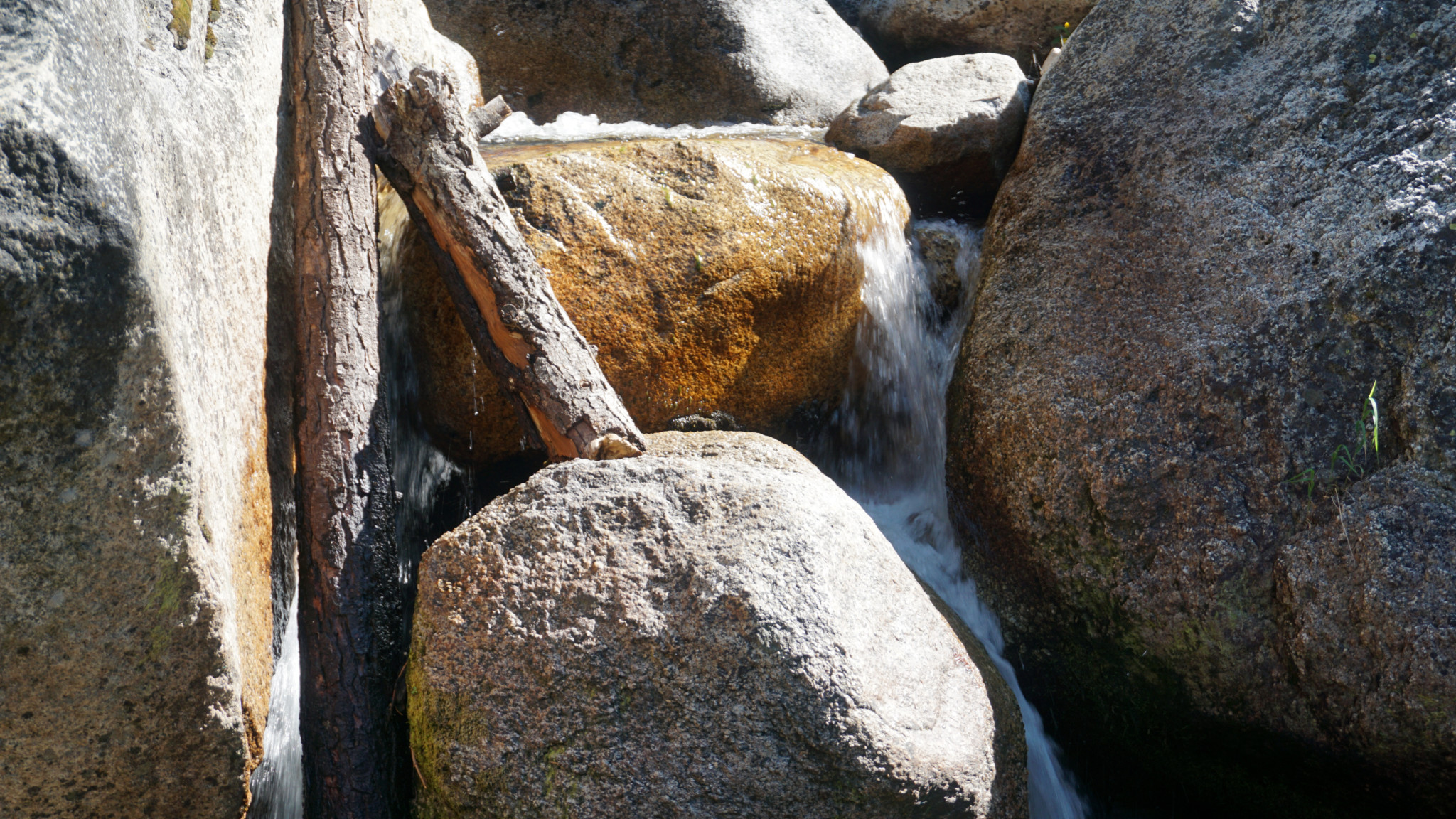
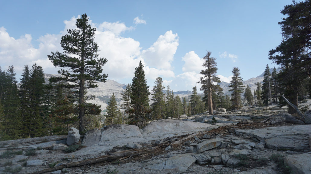
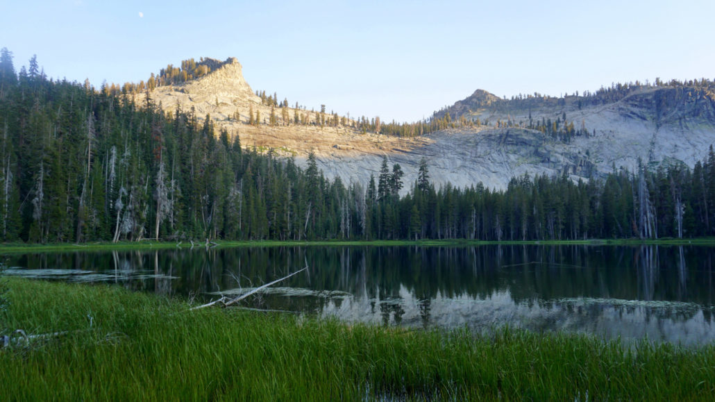
Turn right to continue toward Twin Lakes/Silliman Pass to follow the progress of the East Fork Clover Creek uphill along wide, looping switchbacks. At one memorable spot (5.8 miles), the trail approaches the creek where it cascades over fractured granite, but otherwise the going is mostly through a pleasant mixture of dense, upper-montane forest composed of lodgepole pine, western white pine, and red fir alternating with thinner, rockier patches of forest. The switchbacks become tighter and narrower as you approach the headwall of the East Fork’s small valley until finally the trail flattens out at a strip of forested land dividing the Twin Lakes (6.8 miles).
- Northern Twin Lake
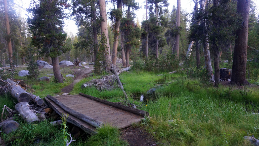
The aforementioned bear locker and pit toilet lie adjacent to the trail, while various informal spur paths radiate toward well-used campsites. As you set up camp, remember that fires are not permitted around Twin Lakes, and if you see a fire ring, chances are it’s illegal and only there because a ranger hasn’t broken it up yet. Both lakes are fine places to relax, but there are more campsites on the south side of the trail.
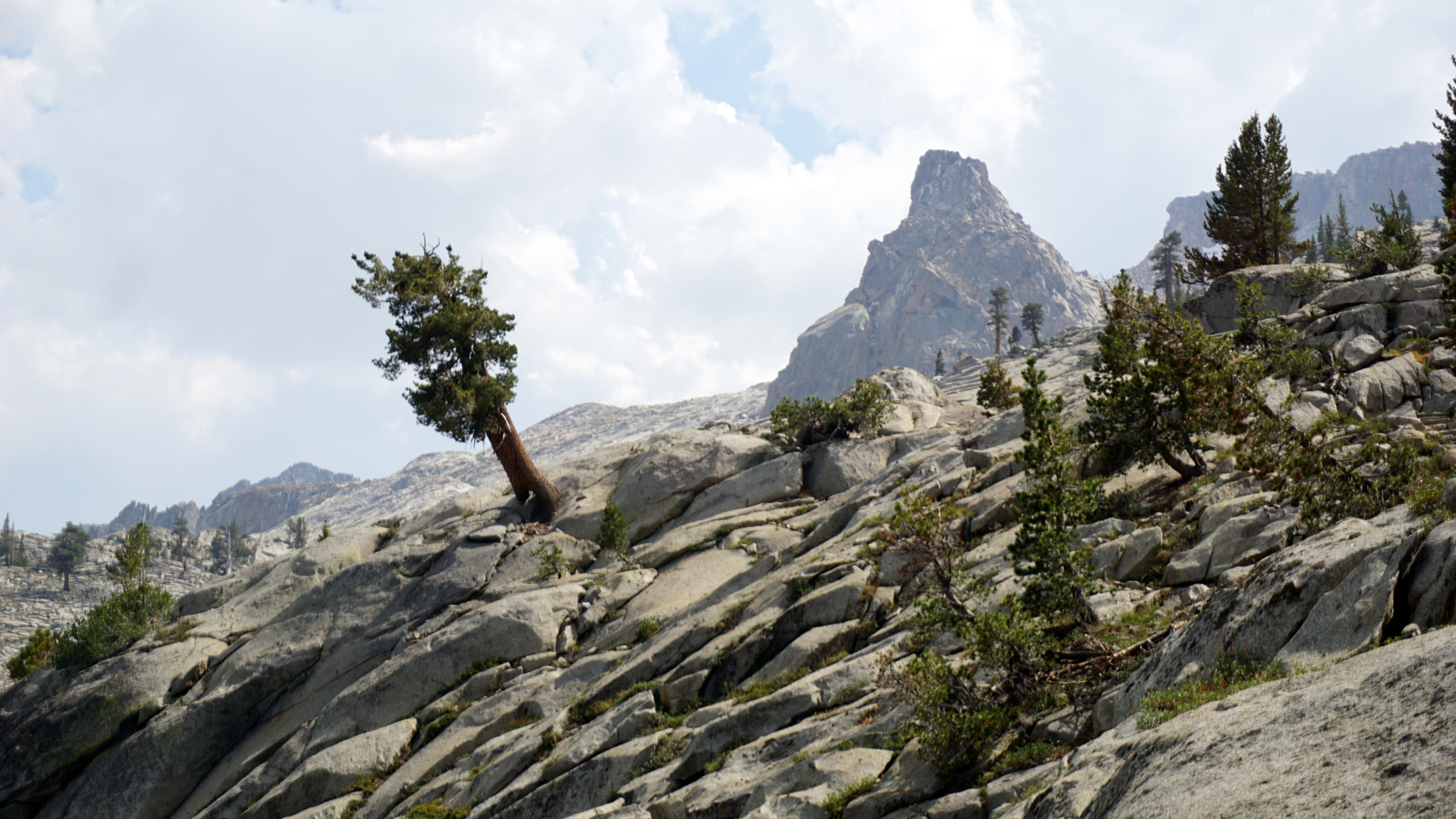
- Southernmost of the Twin Peaks
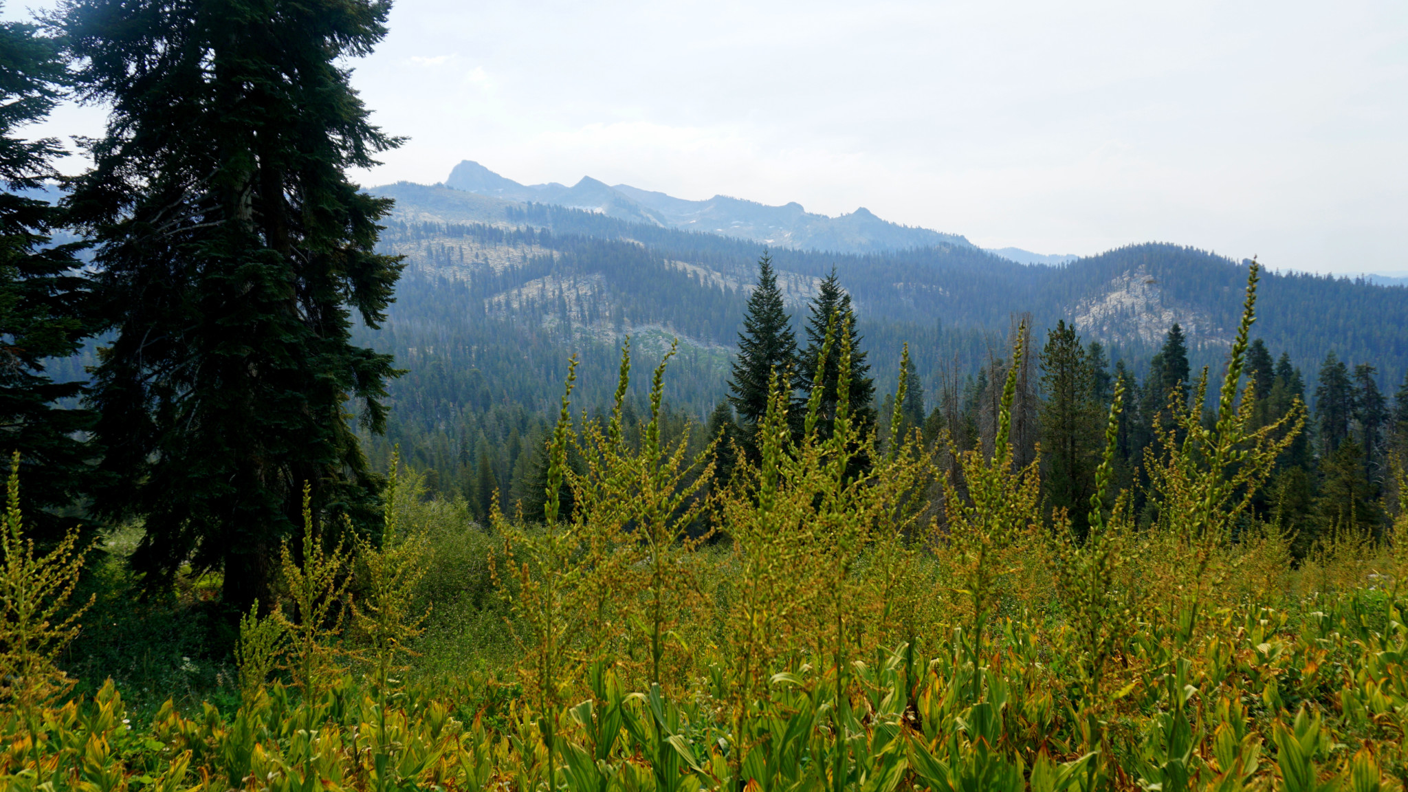
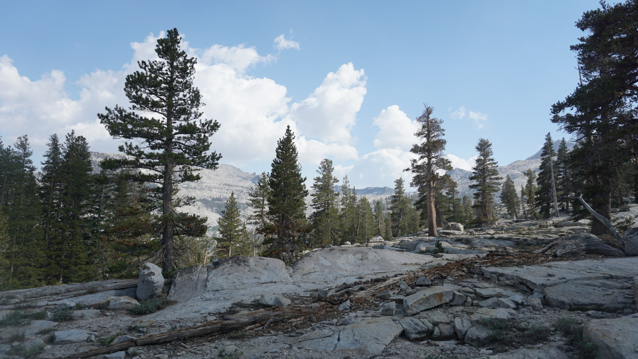
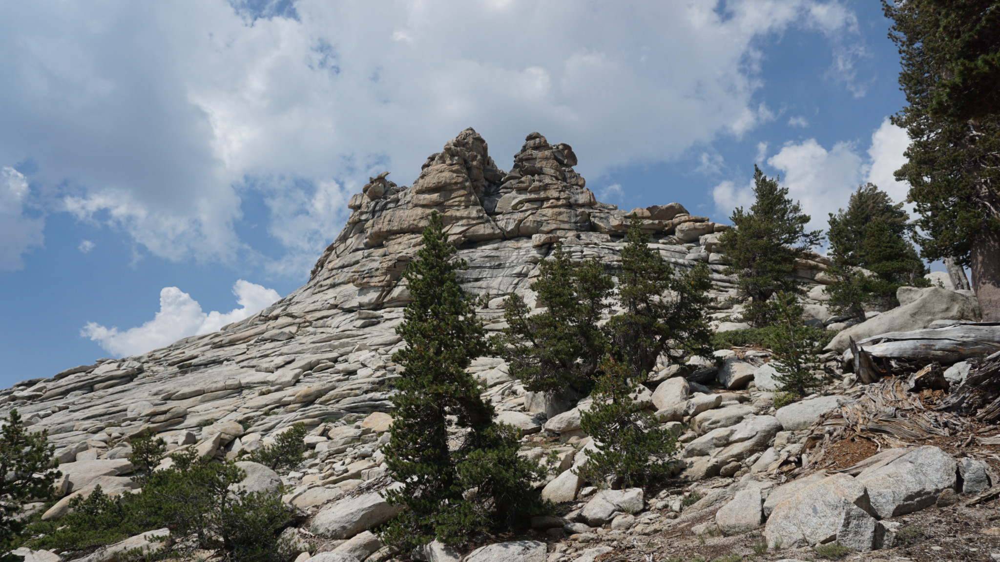
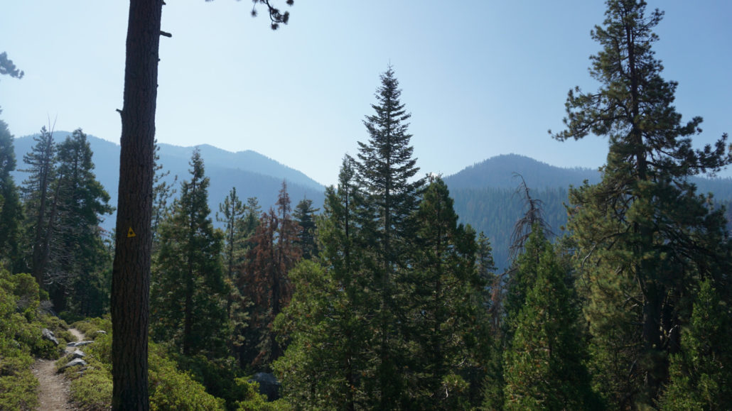
If Twin Lakes is as far as you plan to go, read no further. If you have time and energy for further exploration, or if you want to take the full 3-day route, continue reading for a description of the route beyond this point. The trail continues in an east/northeast direction toward a forested slope rising to Silliman Pass. The trail switchbacks primarily through this forest, although some of the switchbacks dip out of the tree cover to offer glimpses back over twin lakes and further beyond over Tokopah Valley and the Marble Fork Kaweah River. At 7.6 miles, the trail tops out at Silliman Pass. Unlike most Sierra passes, Silliman Pass is forested, which means you won’t get the usual spectacular reveal of glaciated high country. This comes later.
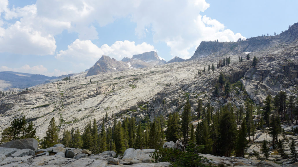
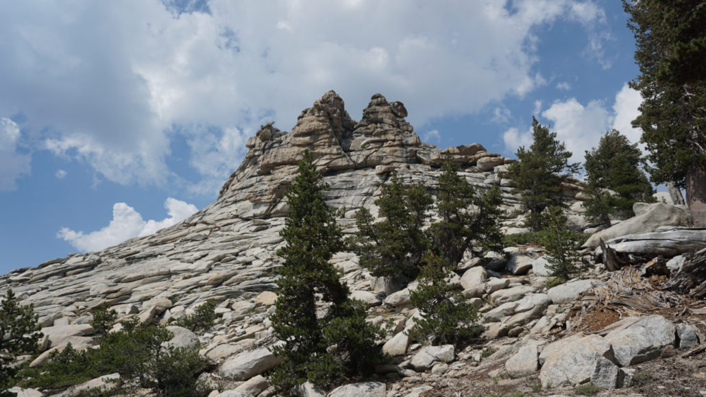
Follow the now slightly less discernible trail as it descends through drier forest. Here and there you can walk a short distance cross country to glimpse the northern ramparts and glaciated highlands of the Kings-Kaweah Divide culminating in the butte-like summit of Mt. Silliman. The trail leaves the tree cover for a short stretch at 8.3 miles, allowing you an unobstructed view of this impressive terrain along with glimpses of Beville and Ranger Lakes lying below. After the trail bottoms out at 8.8 miles, you will reach a spur trail leading east toward Beville Lake. This grassy lake is quite lovely, but the camping is marginal. Better camping lies ahead at Ranger Lake.
- Beville Lake
- Ranger Lake
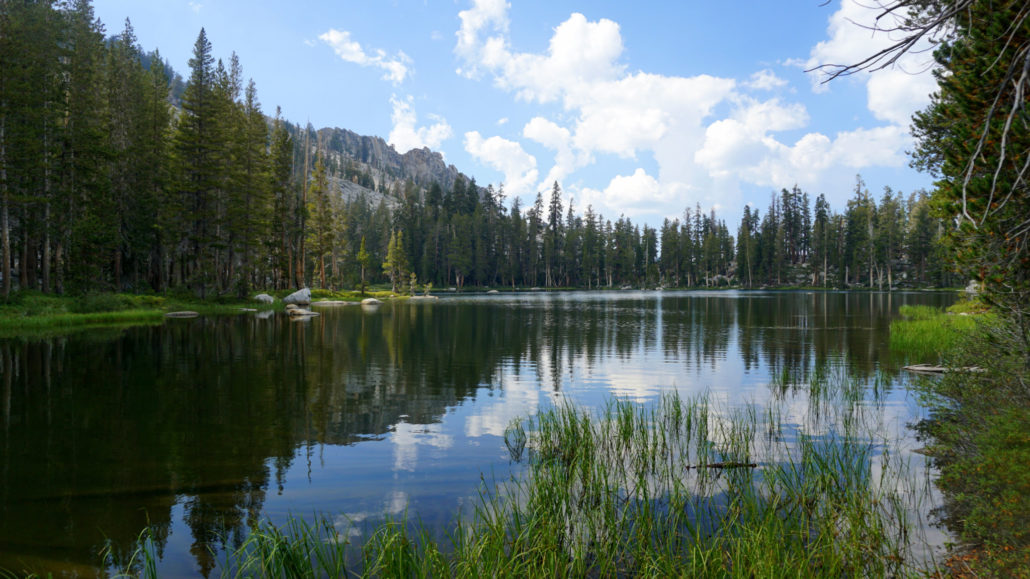
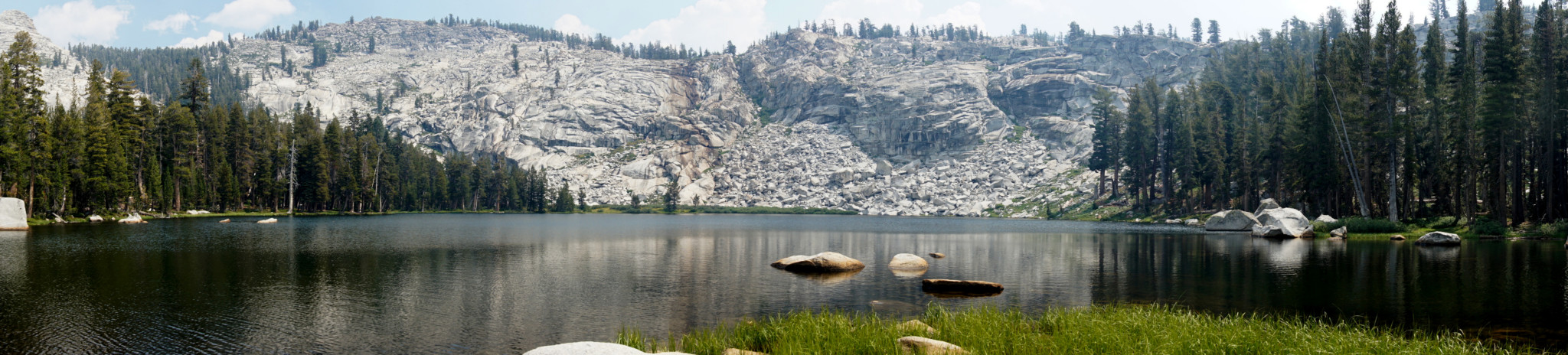
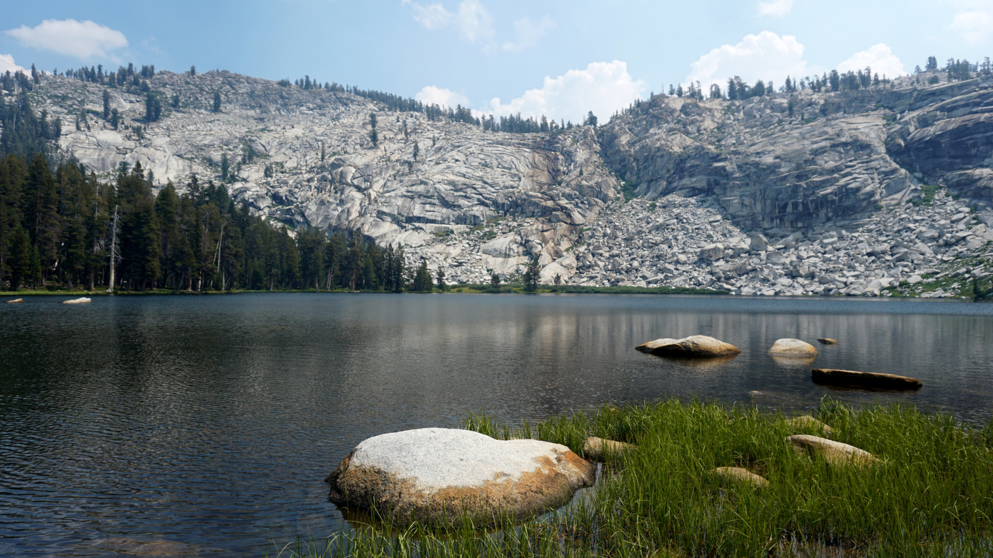
After retracing the spur trail from Beville Lake back to the main trail, continue ahead for another spur trail junction leading north to Ranger Lake (9.2 miles). Ranger Lake has a couple of bear lockers and numerous campsites. It is also quite gorgeous. At 9.2 miles, it would make an ideal stopping spot for your first night’s camp, although there are more options further along if you have bigger ambitions.
From the Ranger Lake spur trail, the trail continues north down a rocky slope with more gorgeous views before dropping into dense forest blanketing a broad draw. The trail climbs again to crest a ridge dividing the draw from Lost Lake’s meadow-lined outlet creek. A spur trail leads west for about .5 mile to Lost Lake, although the GPS track does not reflect this since I didn’t hike up to the lake. Lost Lake does have a bear box and several suitable campsites.
- Belle Canyon
After Lost Lake, the trail climbs again to crest another broader ridge dividing Lost Lake’s creek from broad, densely forested Belle Canyon. At 12.8 miles you reach a junction where the trail splits with the right fork continuing downhill to Commanche Meadow and the left fork heading to Seville Lake and the Jennie Lakes Wilderness. Turn left here to encounter a second junction almost immediately with a 1.1 mile spur trail leading away to Seville Lake on the left and a continuation of the larger route heading roughly west to the Kings Canyon border on the right.
- Seville Lake
Seville Lake, with its pleasant campsites and pair of bear lockers is a fine place to camp, especially if you opted to camp at Twin Lakes for your first night. Otherwise, keep to the right to climb gently through a sparse forest recovering from a 2003 wildfire before reaching a steeper slope leading to the Kings Canyon N.P./Sequoia National Forest Boundary on an unnamed pass (16.6 miles, including the spur to Seville Lake).
- Rowell Creek Crossing
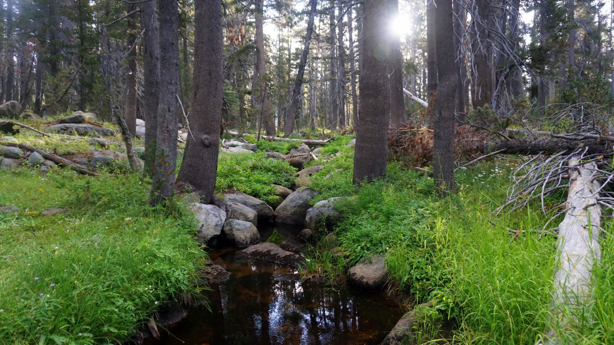
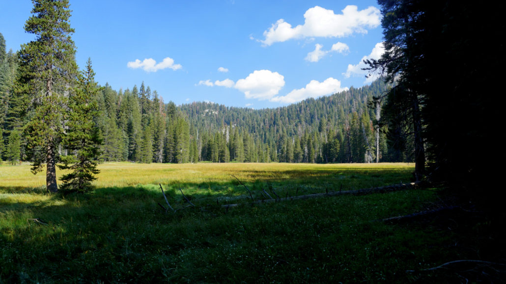
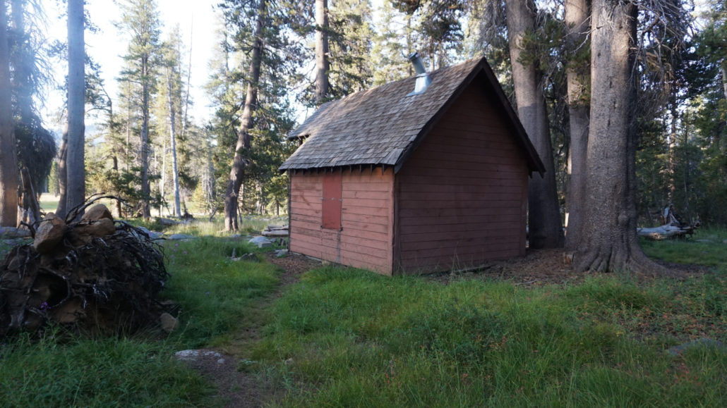
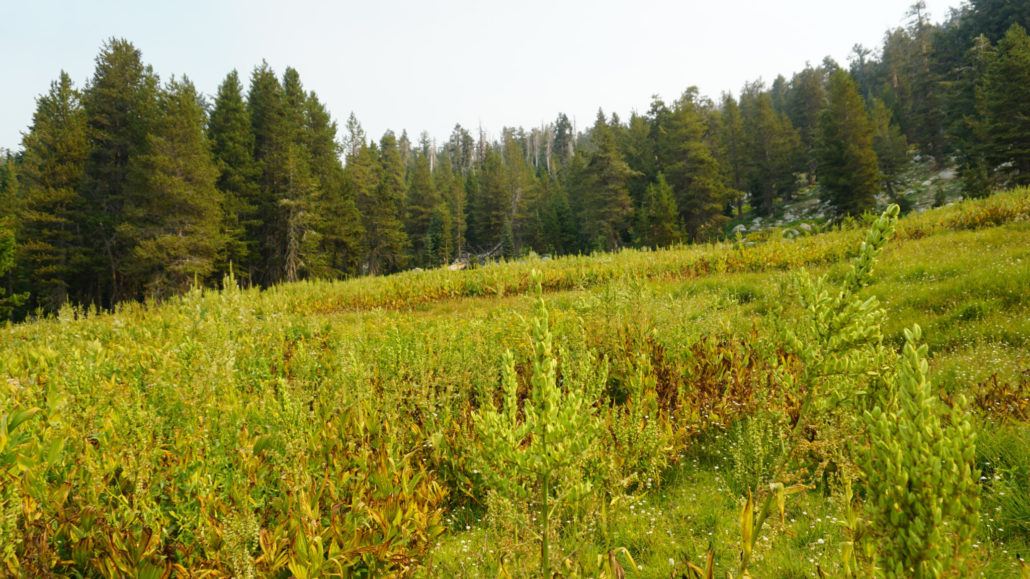
Beyond the pass, you enter a gorgeous, grassy stretch of forest on a gently descending trail that meanders northwest along meadows and tributaries of Gannon Creek before reaching a bridge a 4-way junction with the Marvin Pass Trail and a trail heading east toward Commanche Meadow (18.4 miles). Stay straight to pass some good campsites on the east end of Rowell Meadow. The trail approaches Rowell Meadow after a brief 0.2 mile stroll. Look for an informal path leading away on the left toward a rust-colored shack. This is a snow survey shack that houses surveyors during the spring as they attempt to gauge the seasonal snowpack. The shack is reserved for the surveyors, but the area around it makes for a fine place to rest, especially with serene view across expansive Rowell Meadow. Rowell Meadow is a good destination for the second night on a three day trip.
- Snow Survey Shack
- Rowell Meadow
After returning to the main trail, continue west for another 0.1 mile to junction with a path continuing west toward the Sunset Trail and another path leading south (left) toward Weaver Lake and J O Pas. Turn left here to drop gradually to a crossing of Gannon Creek (a bit of a tough prospect early in the season in high water) and then a steep ascent to the junction with the Jennie Lakes Loop. Keep left here toward J O Pass and begin a more gradual ascent at times through dense forest and at other times along talus fields until crossing an outlet for a small unnamed lake just before topping out at J O Pass and the Sequoia National Park border (22.6 miles).
- Pattee Meadow
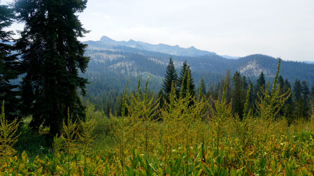
Beyond J O Pass, you descend through more dense forest on an occasionally overgrown and difficult discern trail before reaching the edge of Pattee Meadow. The trail crosses Pattee Meadow (swampy and mosquito-ridden in early season) before continuing on a steeper pitch downhill through more dense forest. At 23.8 miles, the trail reaches the edge of a beautiful, sloping meadow that affords views across Clover Creek’s canyon toward the south and east faces of Silliman Crest. From here, it’s a short, but steep stroll to the Clover Creek Junction, after which you re-trace your steps up and over Cahoon Gap, past Cahoon Meadow, across Silliman Creek, and then back down the hill to Lodgepole.
Tags: Belle Canyon, Beville Lake, Cahoon Gap, Cahoon Meadow, Clover Creek, Gannon Creek, J O Pass, Jennie Lakes Wilderness, king's canyon national park, Lodgepole, lost lake, Mt. Silliman, Pattee Meadow, Ranger Lake, Rowell Meadow, Sequoia National Forest, Sequoia National Park, Seville Lake, Silliman Crest, Silliman Pass, Twin Lakes