To reach multi-tiered Twin Falls, hike along the lovely Upper South Fork Snoqualmie River and through a fairyland forest to several viewing vantage points. This short and scenic route, suitable for most hikers, is a great place for early-morning solitude or to while away an afternoon.

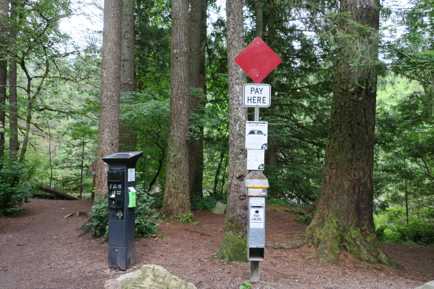
Some hikes are all about the destination, slogging up a mountainside for the views at the top. Other hikes are about the journey, following an entrancing trail through a fascinating landscape. And some, like Twin Falls, offer the best of both. Just off I-90, Twin Falls is a showstopper that attracts hundreds of hikers every weekend to Olallie State Park. Pick a misty weekday morning, though, and you’re likely to find solitude along this beguiling trail. Arrive early to get a spot in the trailhead lot, and display your daily or annual parking pass, both available for purchase at the kiosk.


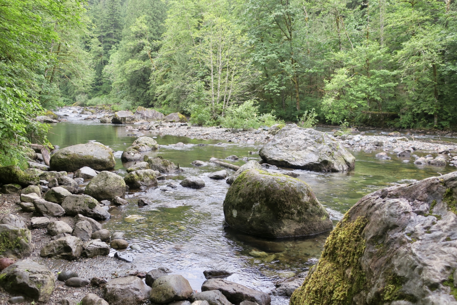
Right away, the trail charms hikers, following the Upper South Fork of the Snoqualmie River. Boulders litter the riverbed, and numerous social trails dip down to the shoreline. Everyone will love exploring the river, but please stay on designated trails. Logs and rocks block access to some social trails in order to allow them to revegetate.


Continue along the river through thickets of salmonberry bushes, stopping to nibble the golden berries if they’re ripe. In Chinook Jargon, the trade pidgin used by early settlers and indigenous peoples, olallie is the word for salmonberry. When the state acquired the first parcel from Puget Sound Power & Light (now Puget Sound Energy) in 1950, the area was named Twin Falls State Park. In 1977, after more land was added, the name was changed to Olallie State Park, in honor of the native berries that thrive here.

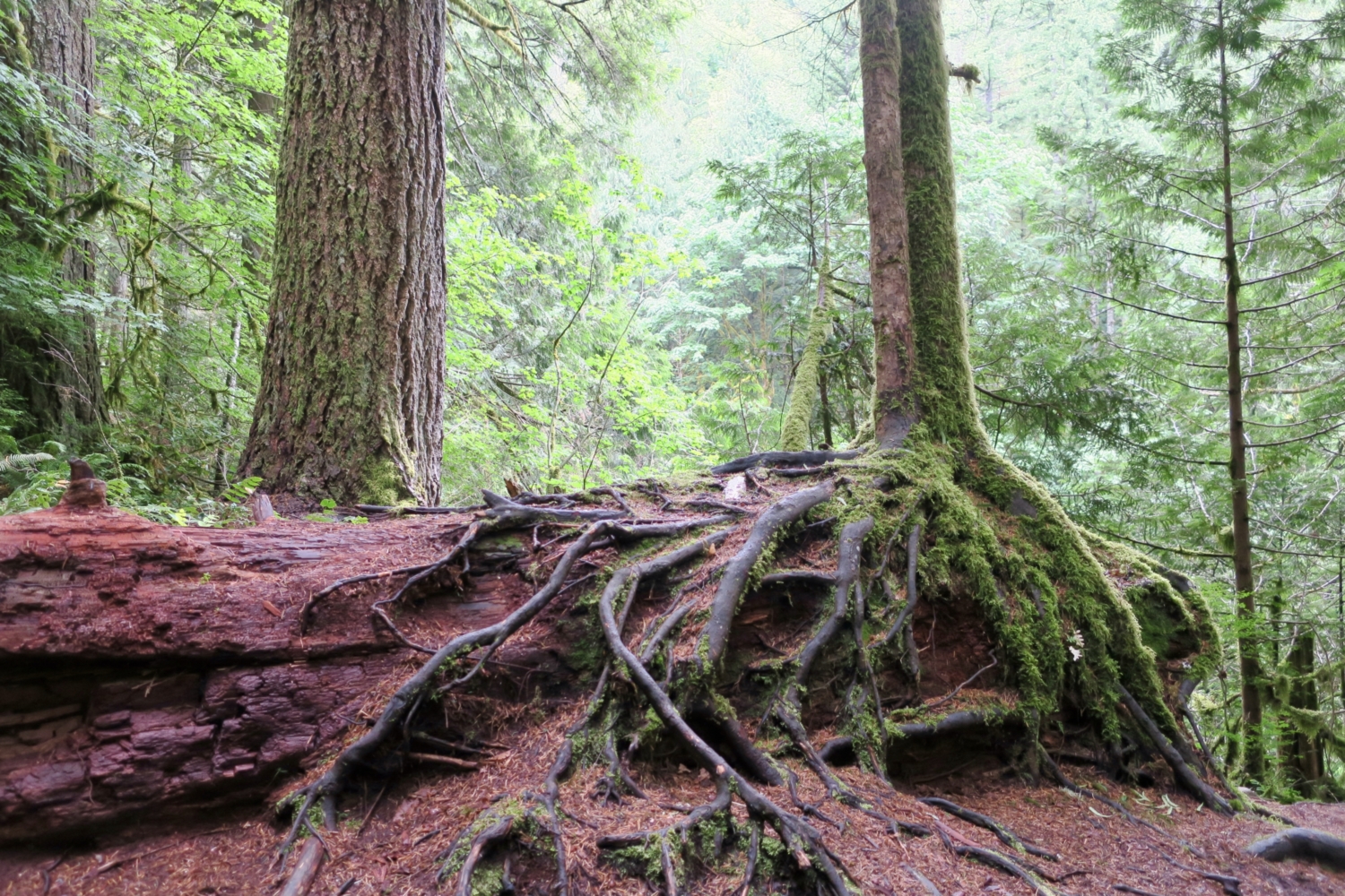
At 0.5 miles, the trail turns uphill, following a well-graded slope through a forest straight out of Tolkien. You might think you’ve stepped through time and landed in The Shire. Enormous trees tower over an open forest floor, and giant boulders, remnants of glacial retreat, stand guard. The uphill trek is short, with plenty of good hiding places for elves and hobbits.


At about 0.8 mile, arrive at an overlook with a view of the falls. This is a fine stopping place from which to admire the scene, but you’ll be richly rewarded if you keep going.

Continue hiking up and around a small gully. The highway sounds of I-90 seems awfully close here, and in fact the freeway is just over the ridge. Don’t worry, the noise will abate as you near the falls. Arrive at a signed junction. The upper falls is straight ahead, the much bigger lower falls to your right.

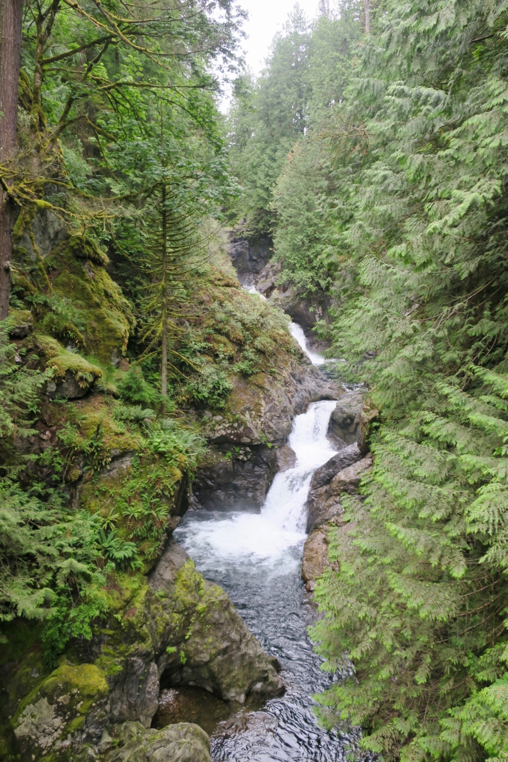
Stay on the main trail to access the upper falls viewpoint. You’ll save the best for last and visit the lower falls viewing platforms on your way back. Continue, descending stairs and traveling along a wooden boardwalk past a tributary creek. The waterfall is audible now, and the highway noise has disappeared. Cross a sturdy bridge and stop to take in the view. Above, the upper falls awaits; below, the river whooshes through a small gorge toward lower Twin Falls.


Once over the bridge, it’s just a few hundred feet to the upper falls viewpoint. Pass a bench placed by an Eagle Scout and come to a wooden guardrail with a large Douglas-fir at one end. From the upper viewpoint at Twin Falls, it’s possible to continue another 5 miles to Rattlesnake Lake for a much longer hike. The trail continues up a few stairs and joins the 212-mile Palouse to Cascades State Park Trail, a historic, multi-use rail trail that connects the western Cascade Mountain foothills with the austere scablands of eastern Washington. But that’s not your goal today. Enjoy the views of the upper falls, then turn around and head back to the junction.

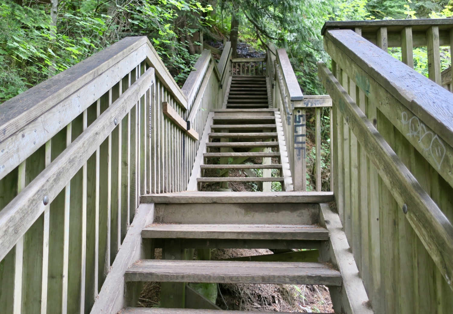
Now start down the wooden stairs to the lower viewpoint. There are two viewing platforms from which you can take in the magnificence of the falls cascading more than 100 feet down the rock face.

The euphoria inspired by the waterfall should provide plenty of energy for the 104-step climb back to the main trail. From there, follow the trail past the first overlook, down to the river, and back to the trailhead.

Tags: Central Cascades, forest, Olallie State Park, washington, waterfall hikes


