***Since 2017, the official TCT ends at Parson’s Landing and not Starlight Beach. Please see updated map and Catalina Conservancy guidelines.***
The Trans-Catalina Trail (TCT) is a challenging backpacking trail that climbs the hills and coastlines of Catalina Island. This trail is not just a walk on the beach. You will traverse the entire island from the pleasant shores of Avalon at the east end to the rugged Starlight Beach at the west end. Be prepared to encounter spectacular wildlife, a wide variety of terrain, and views you will never forget.
Catalina Express: To get to the Trans-Catalina Trail you must first travel by boat. The Catalina Express can shuttle you from Avalon or Two Harbors. We left from San Pedro to arrive in Avalon and then on our return trip we left from Two Harbors back to San Pedro. Check the ferry schedules and book your trip in advance. You cannot bring gas for camp stoves on the boat but you can buy fuel canisters at the ranger station in Avalon.
Permits: To hike the Trans-Catalina Trail you need a permit from the Catalina Island Conservancy. The permit itself is free; you just have to let them know when and how long you will be hiking on the island.
Campgrounds: There are several Campgrounds which can be booked on Reserveamerica.com. The campgrounds are: Hermit Gulch (trailhead betweens miles 6-7), Black Jack Campground (mile 14), Little Harbor (mile 21), Two Harbors (mile 26), and Parson’s Landing (between miles 32 and 33). We chose Black Jack for our first night and Parson’s Landing for our second night. If I were to do this trail again, I would stay at Two Harbors the second night, and then Parson’s Landing the third night.
Check in: You must check-in for your campgrounds. In Avalon, you can check in for Hermit Gulch and Black Jack campgrounds at the Ranger Station/Visitor Center. The station is a little shack in a town square off Catalina Avenue. In Two Harbors, at the dock, you can check-in for all the other campgrounds. For Parson’s Landing, you will be given a locker key when you check in at Two Harbors which opens a locker containing 2 gallons of water, firewood, and a fire starter. (This costs $20.)
WARNING: We completed this trail in three days. In retrospect, four days may have been easier. Completing the trail itself (37.2 miles) in 3 days is not too bad; however, the additional mileage throughout the trip makes a difference. This additional mileage comes from first getting the to trailhead from Avalon (1.4 miles), returning to Parson’s Landing from the trail’s terminus at Starlight Beach (4 miles), and then returning to Two Harbors from Parson’s Landing to get to the docks to catch the boat home (6-7 miles). Unfortunately this extra mileage cannot be avoided and our total mileage for the trip ended up being around 50 miles.
Safety first!
- The trail is extremely exposed to the sun with minimal shade so bring proper attire and plenty of water and sunscreen.
- There are potentially dangerous animals on this island, including rattlesnakes and bison. Please stay away from them and to not try to feed or take pictures with them. Channel Island foxes are cute but do not feed or try to pet them.
- This trail has some extremely steep sections so be cautious and bring trekking poles.
For more important precautions and helpful tips, please see the Cautions/Policies page from the Catalina Island Conservancy.
Day 1 Avalon to Black Jack Campground (Miles 0-14)
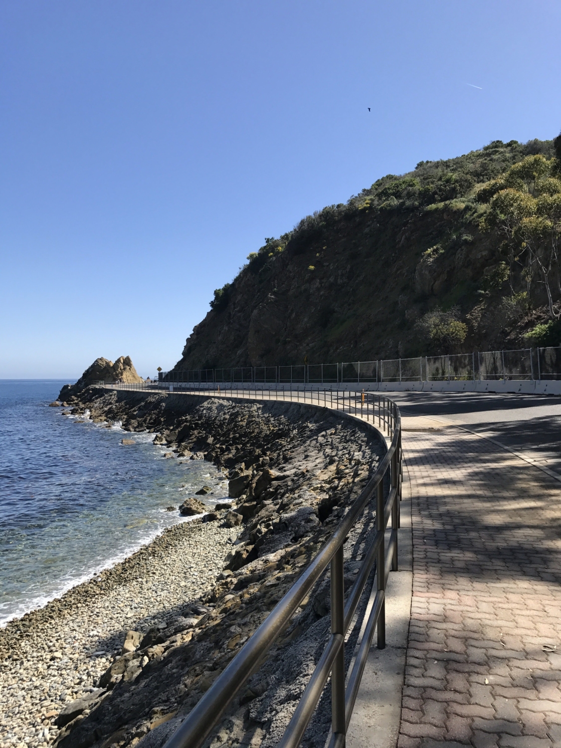
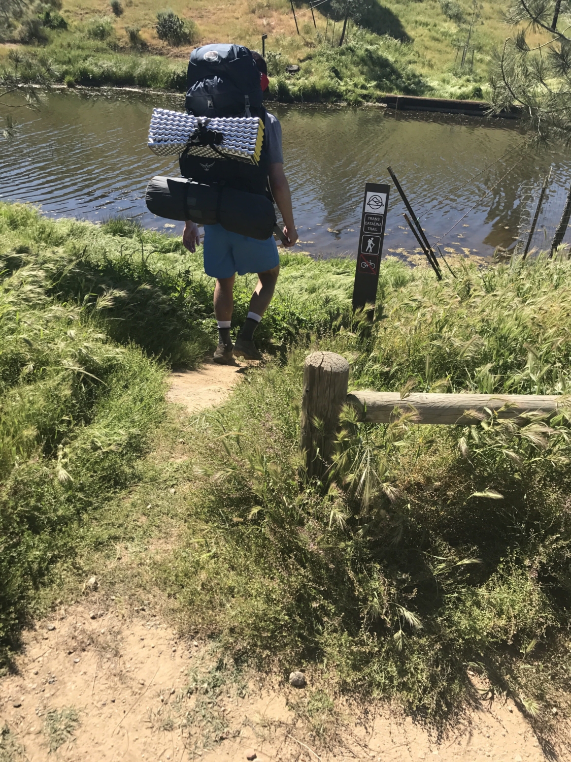
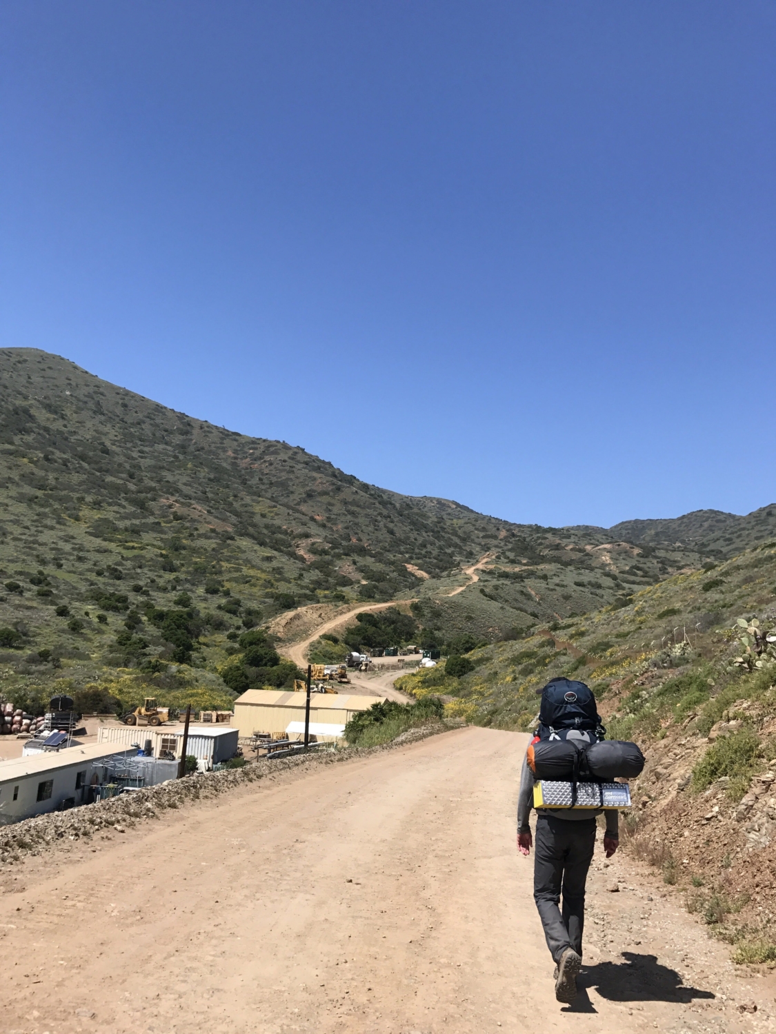
We pulled into Avalon Harbor on the Catalina Express mid-morning on a Saturday. Our first order of business: check-in for our campground. We checked in at the Ranger Station and the ranger let us know there were two ways to get to the trailhead, either along Pebbly Beach Road on the coastline or up the street via Wrigley Road. The Pebbly Beach Road is more scenic so we chose this route. The looks we got from the weekend tourists in Avalon were pretty amusing. I think they were wondering why we were carrying these massive packs that looked bigger than we were.

Walking along Pebbly Beach Road to the trailhead.
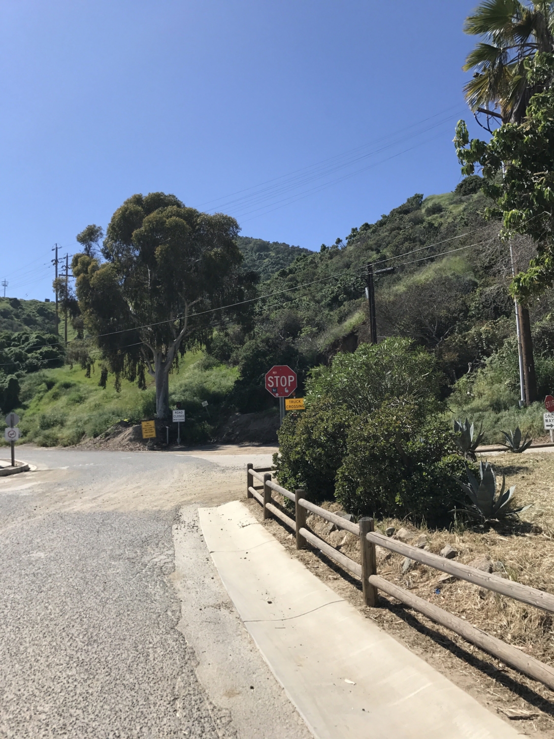
After reaching the second stop sign, we turned right up Wrigley Road (there is no sign indicating Wrigley Road however) per the ranger’s instructions. Quite a few golf carts cruised by us as we trekked up the road.

Intersection of Pebbly Beach Road and Wrigley Road. Turn right up the road (Wrigley Road) to reach the trailhead.
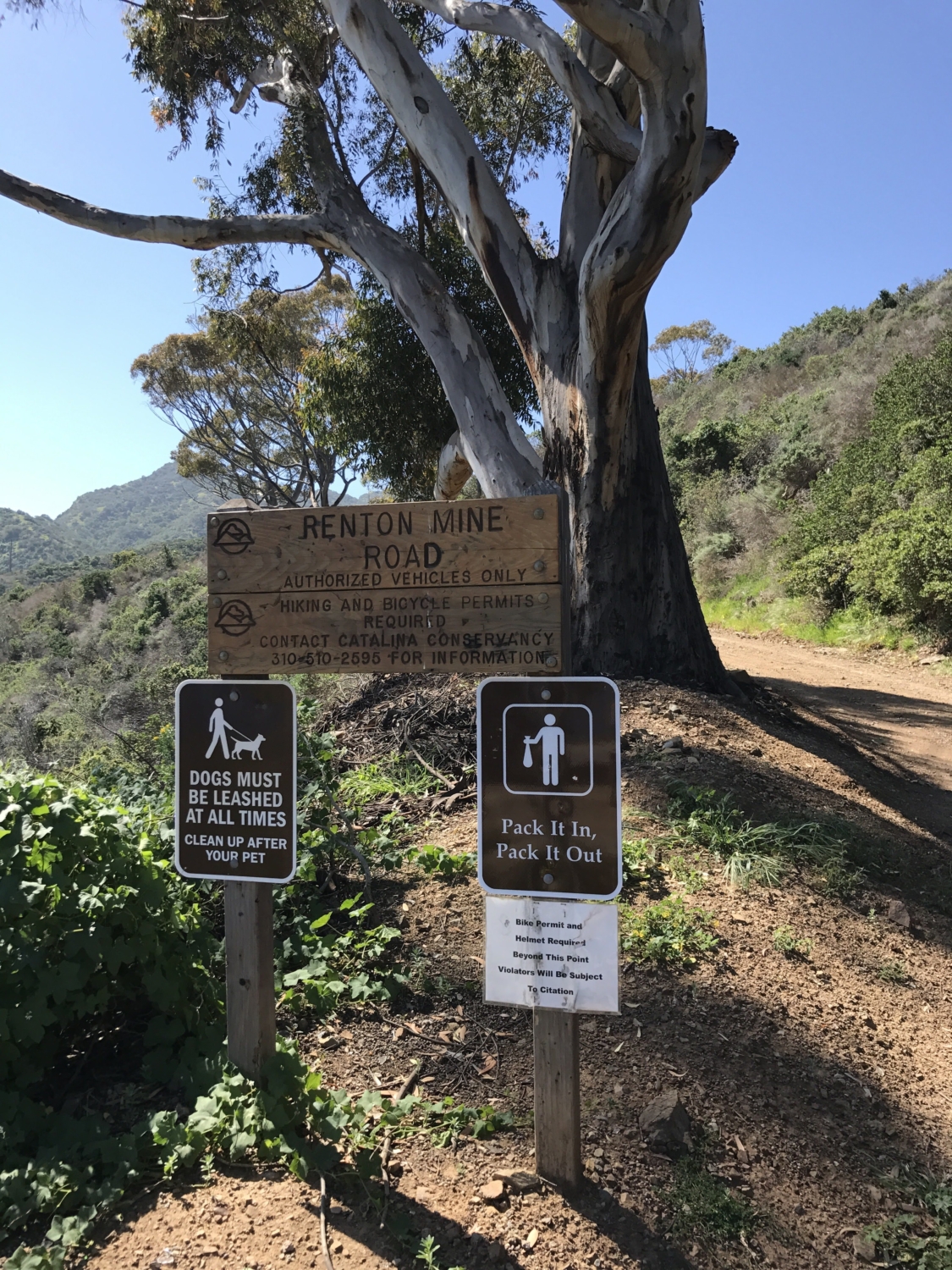
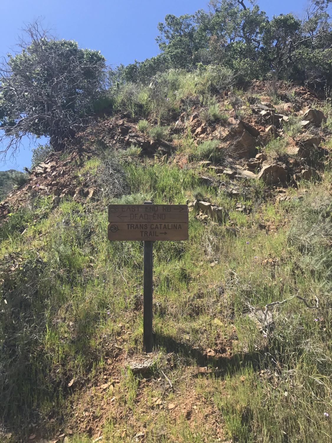
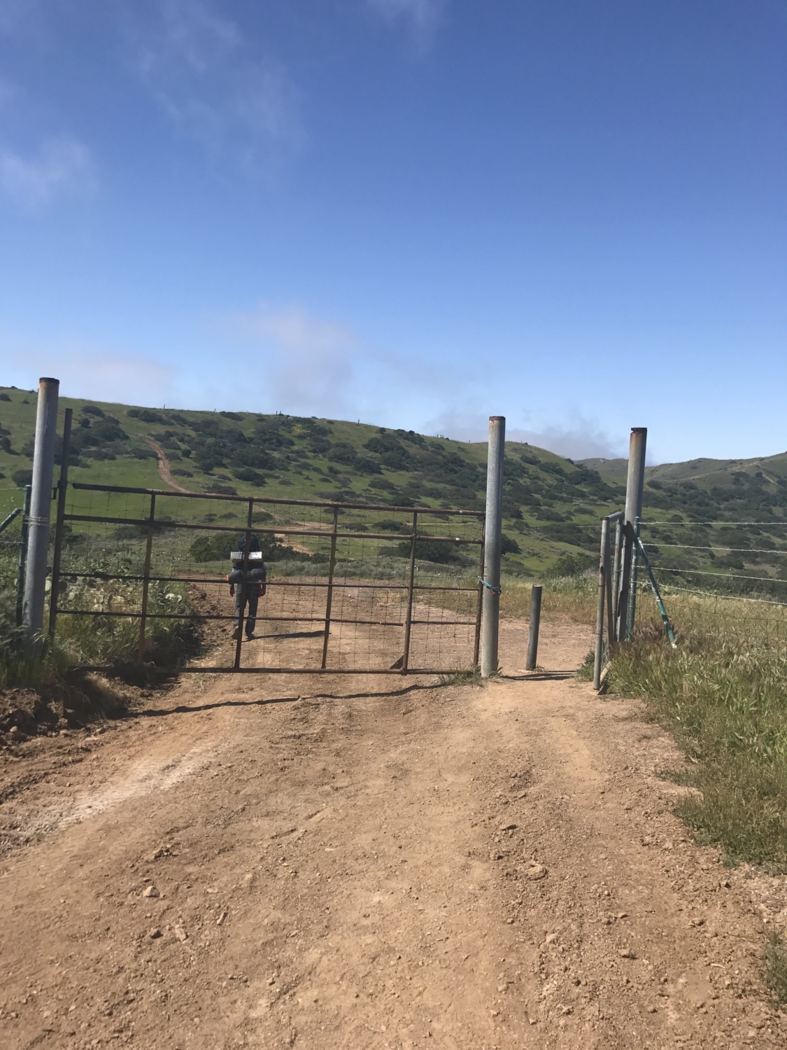
Finally we saw the trailhead on the left side of the road after logging about 1.4 miles from the Ranger Station in town. There are quite a few signs that mark the beginning of the TCT as well as a gate. We passed the gate to start Mile 1 of our 37 mile journey.

The beginning of the trail.

Signage at the trailhead.

Entrance to the trail.
The trail gradually climbs upward along an unshaded road. After awhile, we started to notice that hikers were not the only ones on this trail. Adventure Jeeps from Avalon routinely make their way up the road so be sure to watch out for them.

Ocean views from the trail.

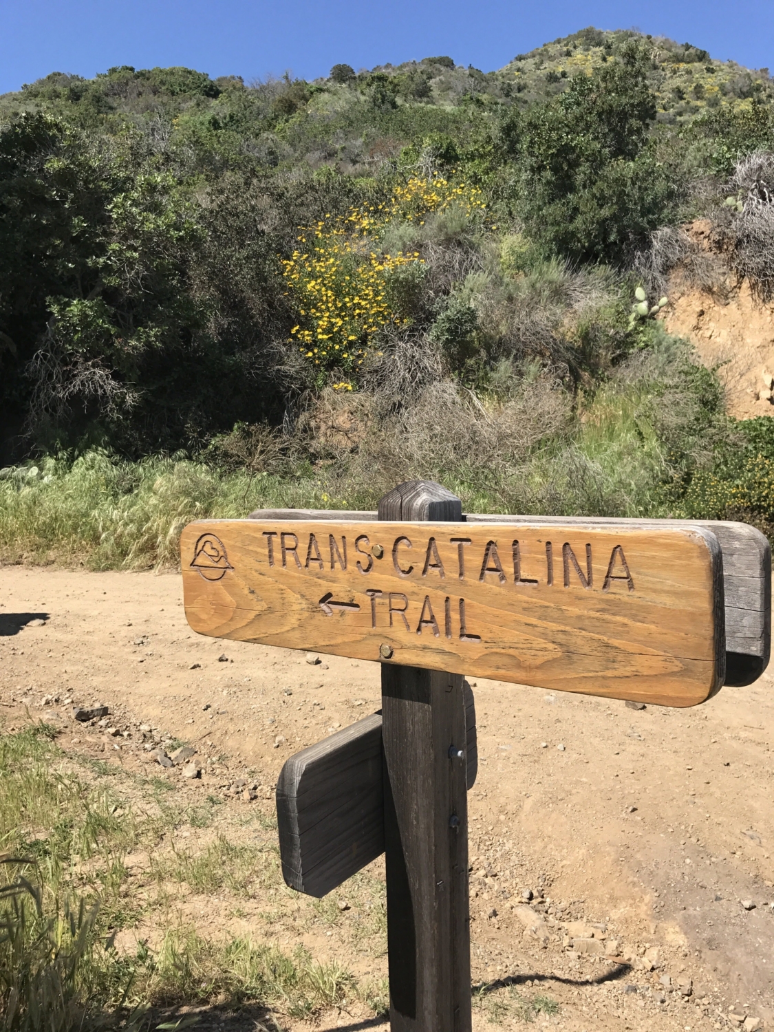
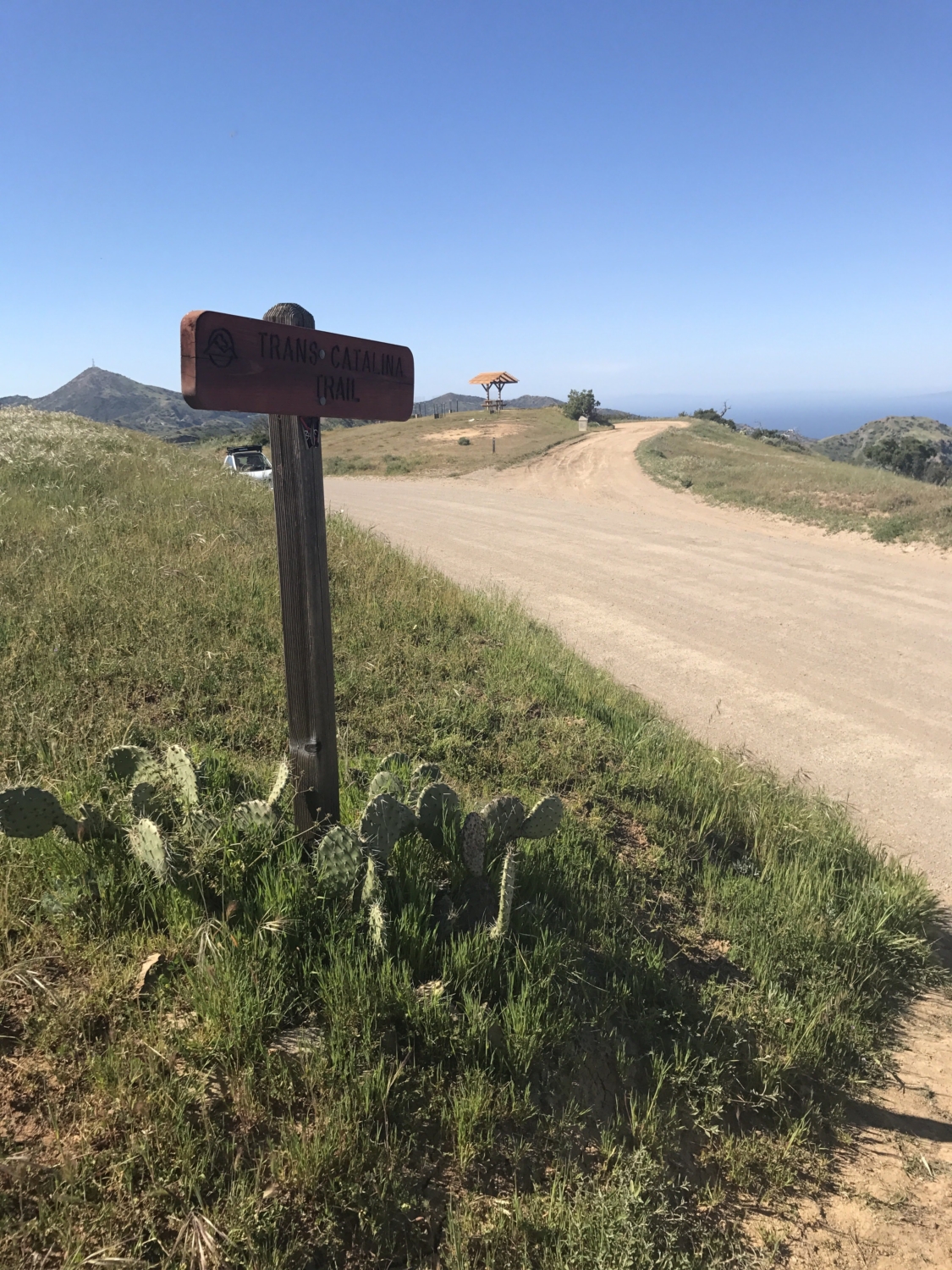
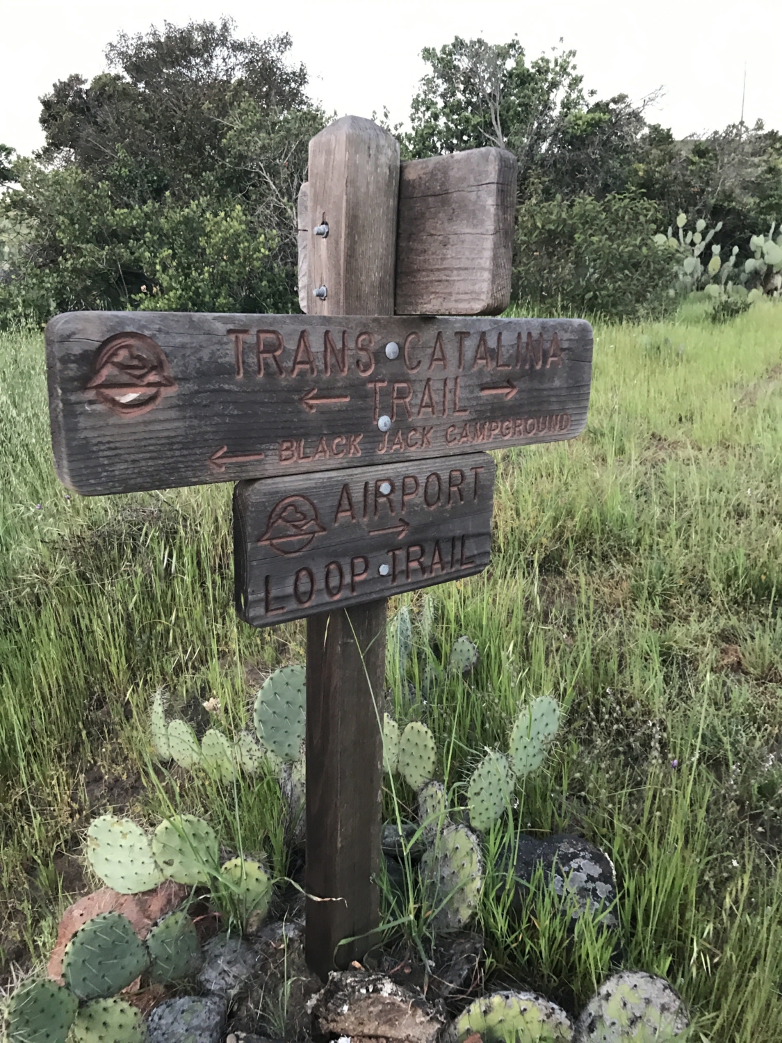
Always follow the signs pointing in the direction of TCT. Note the logo of the TCT on the left side of the sign.
The road continued to climb for about 3 miles until finally leveling off. We continued on the dirt road with good views of the Southern coastline.

After 6 miles, the trail intersects with Memorial Road. This road will take you toward Avalon and past Wrigley Memorial Botanical Gardens. These gardens are great to tour if you are just visiting Avalon; however, I recommend avoiding adding extra mileage to the trip.

At mile 6. Here the trail from Wrigley Memorial intersects with the TCT.
About half a mile up the road there was a nice spot to take a rest break. A little gazebo offered some shade as we reapplied sunscreen and ate snacks. The Hermit Gulch Campground trail branches off the main trail here.

A little way up from mile 6: the trailhead to get to Hermit Gulch Campground.

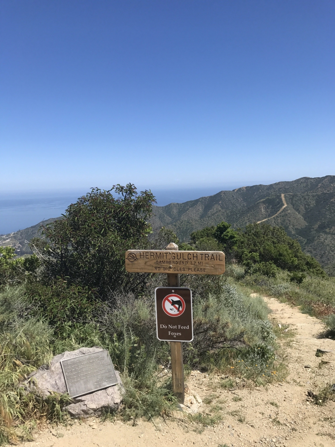
Hermit Gulch Campground trailhead.
After a nice rest we continued onward. This section of the trail from mile 7 to 8 was not the most scenic. We soon would run into a big surprise, however.

Road between miles 7-8.
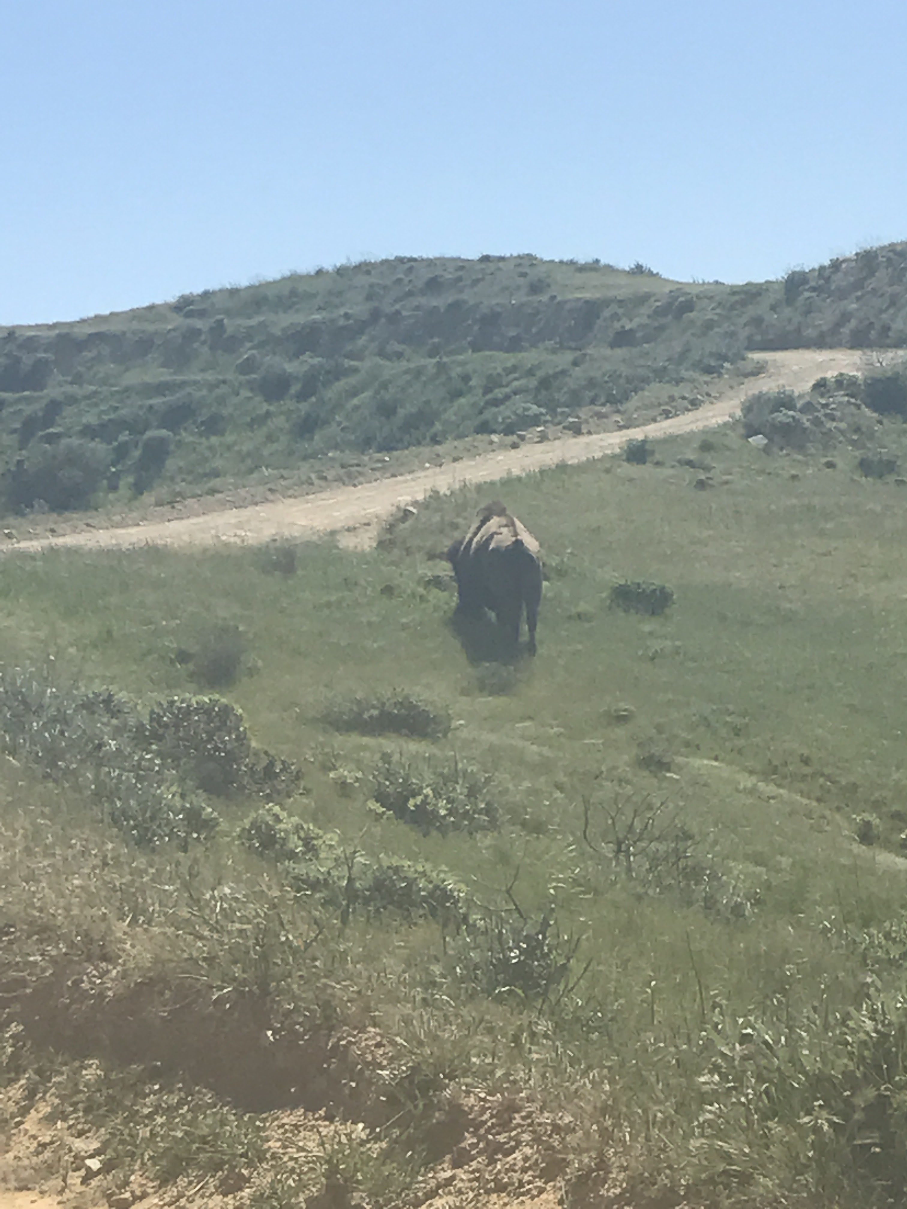
Between miles 7 and 8, we saw this guy just off the trail. Now, you are supposed to avoid the bison on the island and give them plenty of space. We tried to do just that; however, the bison seemed rather interested in us as it sauntered in our direction. Luckily, one of the aforementioned Jeeps was passing by and noticed the bison’s intent to say hello. The Jeep backed up, picked us up, and drove us a short distance down the road, away from the bison. We thanked the driver and continued on our way, glad that we didn’t find out if Catalina bison are friendly or not.
You may be wondering why there are bison on the island. In the 1920s, a small group of bison was transported to the island for a film. When the filming was complete, the bison were left there. The bison herd thrived and the population eventually had to be controlled. The herd is now managed by the Catalina Island Conservancy. You can read about the Catalina bison more on the Catalina Conservancy website.

Bison off the side of the road. Give them plenty of space.
Finally, the trail moves off the main road and out onto the fields. The trail winds back and forth over the meadows and down towards the Haypress Reservoir. On the way to the reservoir, you pass through a narrow gateway, likely built to keep the bison out of that area.

The trail moves off the main road and traverses across the field.

After awhile you will reach a fence with an opening. Pass through it and continue on the trail.

On the other side of the gate the trail meets back up with the road for a short time.
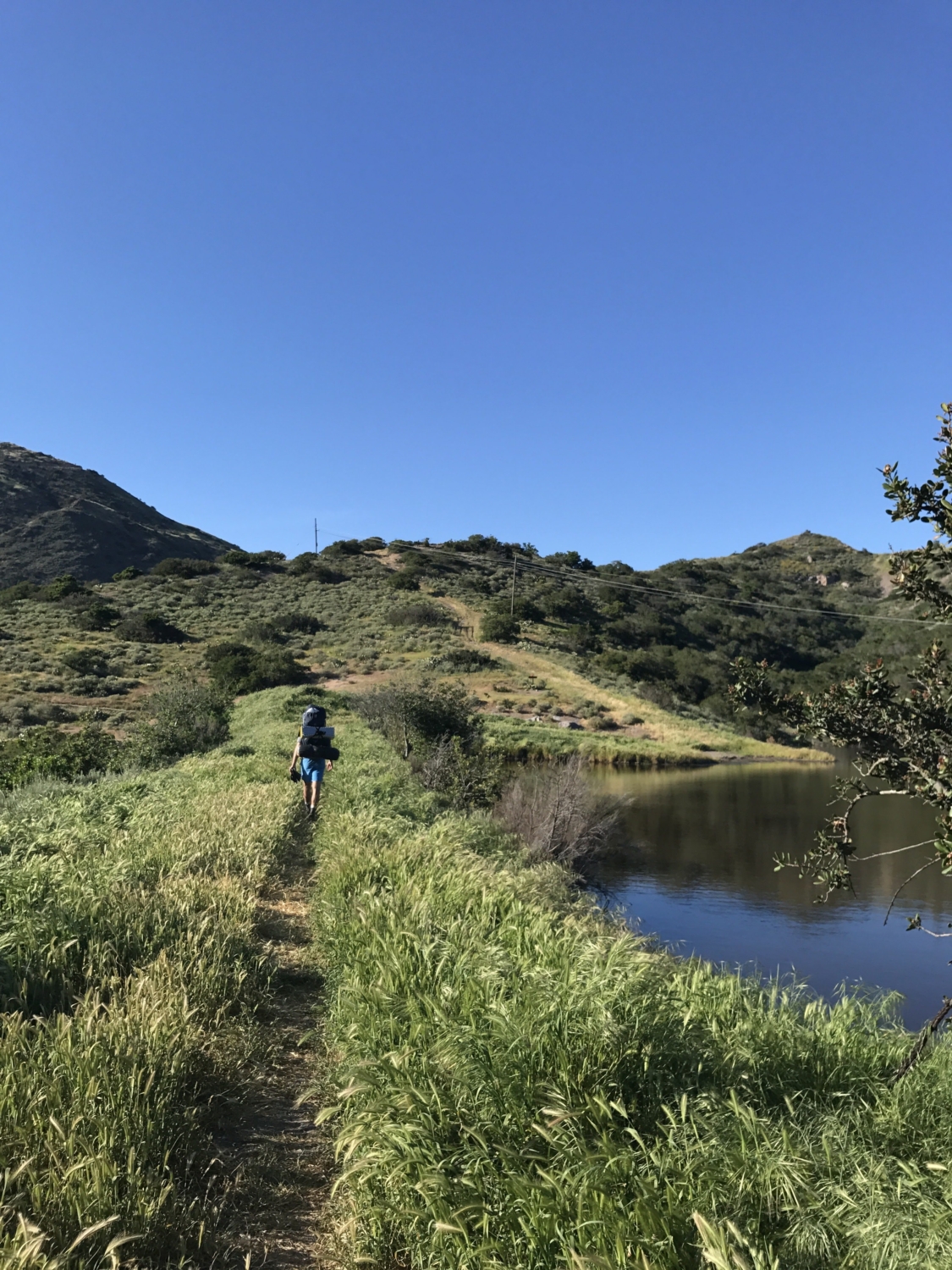
After leaving the gated area, we reached Haypress Reservoir. The trail meanders alongside the park and the reservoir and then continues back up toward the main road (Airport Road).

Turn right onto the road and pass by a park and the Haypress Reservoir.

Travel around the reservoir to continue on the trail.

Trail parallels the road.
Between miles 9 and 10 is another shaded rest stop with a bench. This was Day 1 of our trip so our packs were filled to the brim — it was nice to set them down here, even if only for 10 minutes.

Cross the road and stop at the shaded bench for a well-deserved rest.
We followed the trail back across the main road. The trail started to head downhill into a valley. We quickly lost all the elevation we had gained that day, which was disheartening considering our camp for the night was at one of the highest points on the island near Black Jack Peak (roughly 2000 feet). This pattern of elevation gain, then loss, is a constant theme of the TCT.

Begin to walk downhill into the valley.
At the bottom of the valley we crossed a road (roughly Mile 11) and started the steady ascent back uphill. We did this trail in April, a great time of year for wildflowers, which were especially in bloom on this portion of the trail.

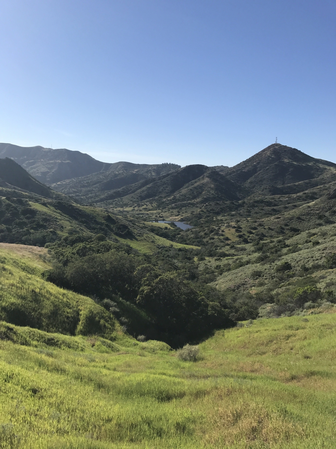
We gained some elevation and from atop the hill we could see the Cape Canyon Reservoir and roughly where Black Jack Camp is. Unfortunately, we would have to go downhill again before making our final ascent to camp for the night.

Black Jack Mountain in the distance.
We reached the reservoir around mile 13 and began the last mile of the day on tired legs. At mile 14, we were able to finally set our packs down for the day and set up camp. The first day took about 7 hours to complete 14 miles. There are fire pits and picnic tables at each site. The campground has restrooms (porta-potties), an outdoor open shower, and several water spigots.
Black Jack Campground is nestled in the mountains at about 1,600 feet and it is close to Mt. Orizaba (2,097 feet), the highest point on the island. Mt. Orizaba is a great spot to watch the sunset from after a long day.

Day 2 Black Jack Campground to Parson’s Landing Campground (Miles 14-33)
We woke up early the next morning, using headlamps to pack up camp and continue onward before the sun started heating up the trail. This day we planned on traveling 19 miles which, for a typical day hike, is usually fine; however, a heavy backpack intensifies the normal struggle. The trail climbs out of camp and then quickly descends into another valley between miles 15 and 16. We continued to follow the trail signs in the dim morning light and started to see the airport in the distance.

Waking up early and following the signs with headlamps.
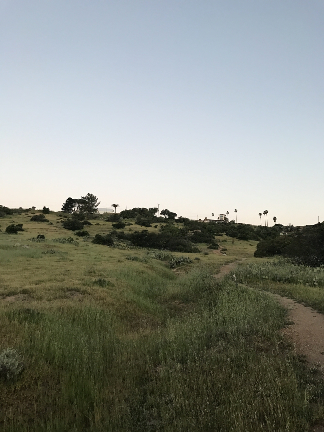
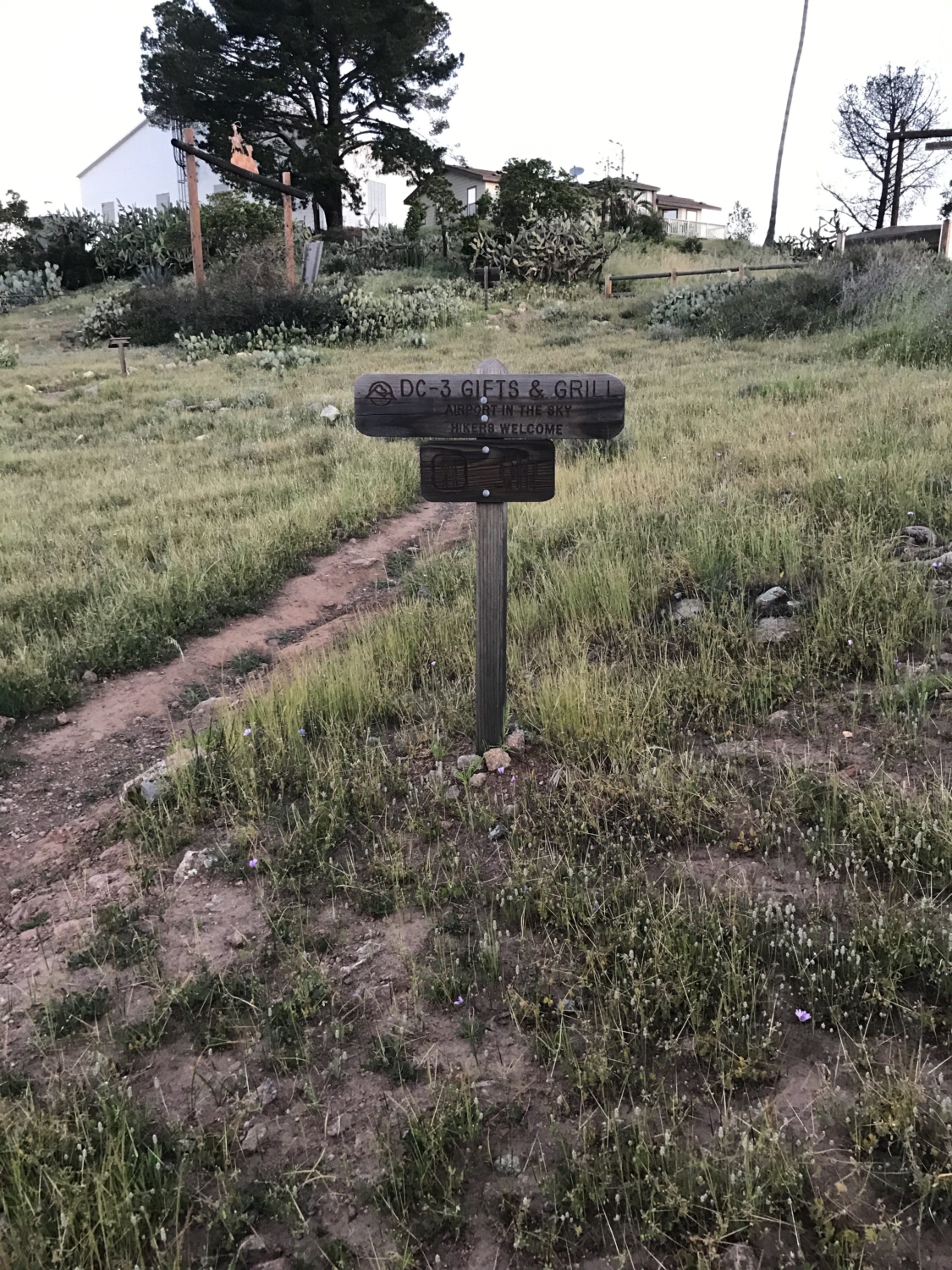
Catalina’s airport is dubbed the Airport in the Sky. Oftentimes, TCT hikers will stop here for a snack or meal at the airport restaurant DC-3 Gifts and Grill. The ranger in Avalon told us the cookies were particularly good. However, we got here before they open at 8:30AM, so we continued onward.


Miles 16-17: Airport Loop

Trail up to the airport. Apparently there is good food and cookies here, but we were too early.
We followed the Airport Loop trail, part of the Trans-Catalina Trail, for miles 16-17 until reaching the road. Signs pointed to the left to follow Sheep Chute Road.

Turn left onto the road (Sheep Chute Road).

Sheep Chute Road took us all the way down to Little Harbor and is quite steep. We encountered some hikers travelling uphill in the opposite direction, who looked exhausted from the climb.

Stay on Sheep Chute Road.

Sheep Chute Road is a slow downhill trudge all the way down to Little Harbor Campground at mile 21
We traveled this road for 3-4 miles until Little Harbor became visible. At mile 21, we came upon Little Harbor Camp, which was arguably the nicest of all the campgrounds on the island. Many people will hike or drive here from Two Harbors to camp for a few nights.

View of Little Harbor from the trail.
Campers were just starting to wake up and make breakfast when we arrived. The smell of bacon in the air was pretty intoxicating after already having been awake for a few hours with only energy bars in our stomachs. We were trying to hold out on sitting down for food until we reached Two Harbors for lunch. The sign at the other end of Little Harbor camp let us know that our cheeseburgers were only a short 4.5 miles away … I mean, that Two Harbors was only 4.5 miles away. Food is a powerful motivator when backpacking.

Continuation of the trail from Little Harbor. 4.5 miles until Two Harbors! And cheeseburgers!

Little Harbor.
This section of trail out of Little Harbor was by far our favorite. The trail travels along the ridgeline as you pass beautiful wildflowers look out on the rugged Southern coastline of the island. The beauty of this section was a bit tarnished when we realized we would quickly gain back all the elevation we just lost when descending Sheep Chute Road — but hey, it’s still pretty to look at, right?

Ridgeline up from Little Harbor.

The climb begins.

Coastline views.
We reached the bench at the top of the ridgeline after an arduous ascent. A lot of day hikers will take this route from Little Harbor and they easily passed us on the trail. We envied their freedom of movement without heavy backpacks. Shortly after the rest stop, we reached a trail sign directing us along the road toward Two Harbors. By this time, my stomach was starting to signal lunch time, but we still had about 2 miles to go.


Gate that leads down to Two Harbors. Be sure to shut it after you pass through it.

The last two miles down to Two Harbors.
Finally, we reached Two Harbors. After 26 miles, we were ready for a well-deserved rest.
The town is situated on an isthmus between — you guessed it — two harbors. There is a general store and restaurant near the dock of the north shore harbor. We checked into our campground at Parson’s Landing at the dock and got the locker key for water and firewood at the camp. Now it was cheeseburger time. The restaurant offered a variety of meals and a bar. Many day hikers were celebrating the end of their journeys with a beer. We decided it was best to wait until we had completed our last 7 miles of the day before similarly celebrating.

Two Harbors! 26 miles in.
Begrudgingly, I put my pack back on after a nice hour break. We headed out of town towards the south harbor and back up into the hills.

Following the trail out of Two Harbors.

The beginning of a long upward trek.
The stretch of trail out of Two Harbors to Parson’s Landing (miles 27-33) was the most unforgiving section of the journey. In the afternoon sun, we trekked steeply upward for 2 miles until finally reaching a plateau. The trail continues to follow the ridgeline towards Silver Peak.


Between miles 30 and 31, Silver Peak Trail branches off to the west while the TCT continues north on Fenceline Road. Fenceline Road sounds pleasant enough and we thought that with a little over 2 miles to reach the beach at Parson’s Landing, we were home-free. We were wrong.
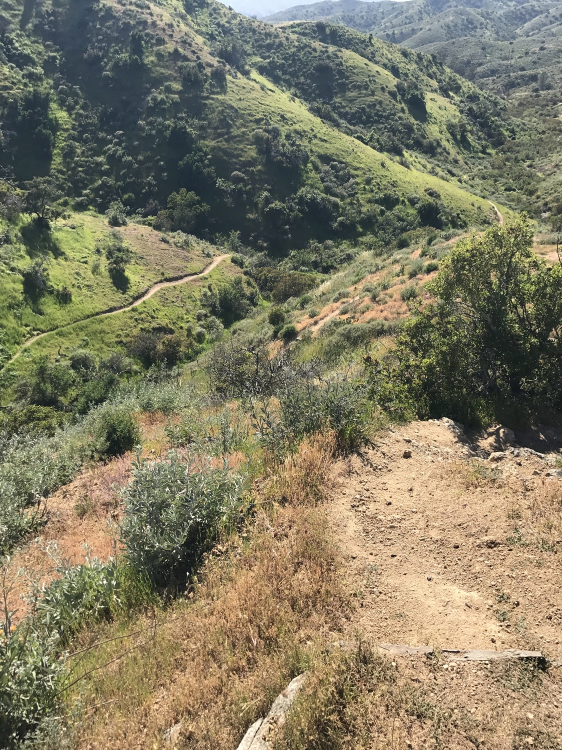
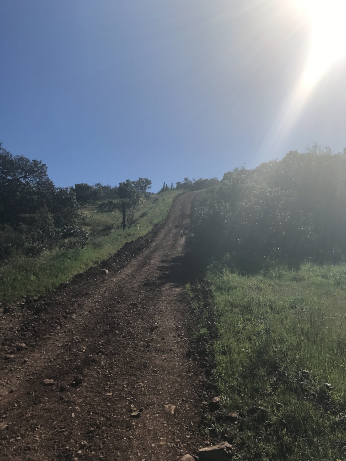
Fenceline Road plunges downhill for nearly 2 miles and the uneven and rocky terrain makes slipping inevitable. I slipped 2-3 times which could have been worse without trekking poles. This section of trail hardly seems suitable for hiking, and especially not backpacking. Be careful in this section and take your time.

After turning to the right away from Silver Peak onto Fenceline Road, begin the long way downhill. This is looking up at a hill we had to walk down. This section lasts for about 2 miles. I HIGHLY recommend trekking poles on this section.
After our downhill struggle we followed the trail signs and finally ended at Parson’s Landing (mile 33) for the night. On Day 2 we traveled roughly 19 miles in 10 hours.
Day 3 Parson’s Landing Campground to Starlight Beach (Miles 33-37) … and back home.
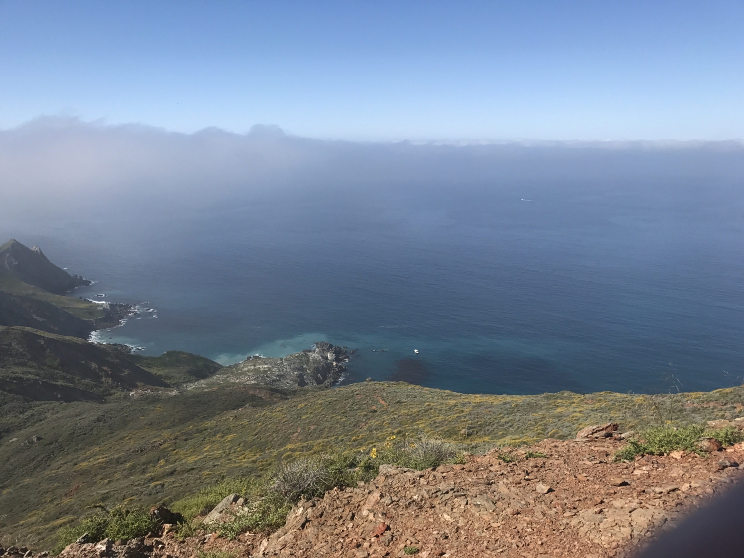
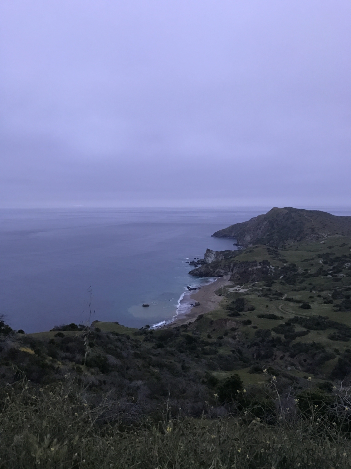
On our last day of the journey we woke up early, hoping to knock out the last 4 miles of the trail quickly. We left our tent set up, as check-out was not until 11AM, and took our day packs to hike on towards Starlight Beach. The last day was foggy, but still offered fantastic views of this uninhabited stretch of coastline.

View of Parson’s Landing from the trail in the early AM.

The rugged West End coastline.
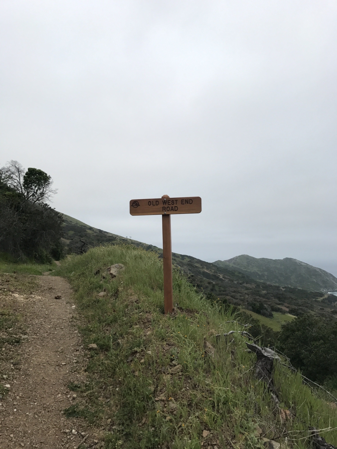
Around mile 35 we reached a fork in the road and a sign for the Old West End Road. This road is not part of the Trans-Catalina Trail, although we soon wished it was. The TCT forks to the right and travels downhill to Black’s Point. We soon realized the section of trail between miles 35 and 36 closely resembled Fenceline Road. We were not thrilled about this, but at least we did not have our larger packs this time.

The Old West End Road is not part of the TCT. You can take it on your way back from Starlight Beach however (this is recommended).
Just after mile 36, Silver Peak trail intersects with the TCT. We were now at the far west end of Catalina, appropriately known as Land’s End, and there was only one mile left until the trail’s terminus at Starlight Beach.

The Silver Peak Trail intersects the TCT right before the last part of the trail (Mile 36).

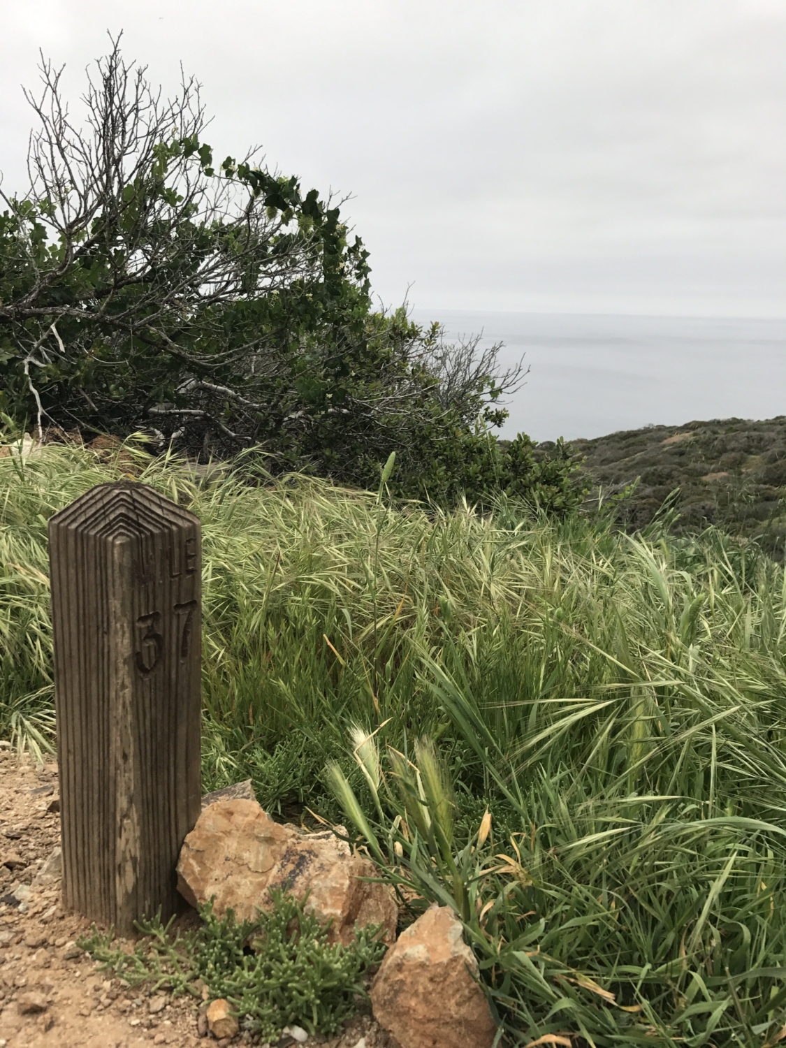
MILE 37!
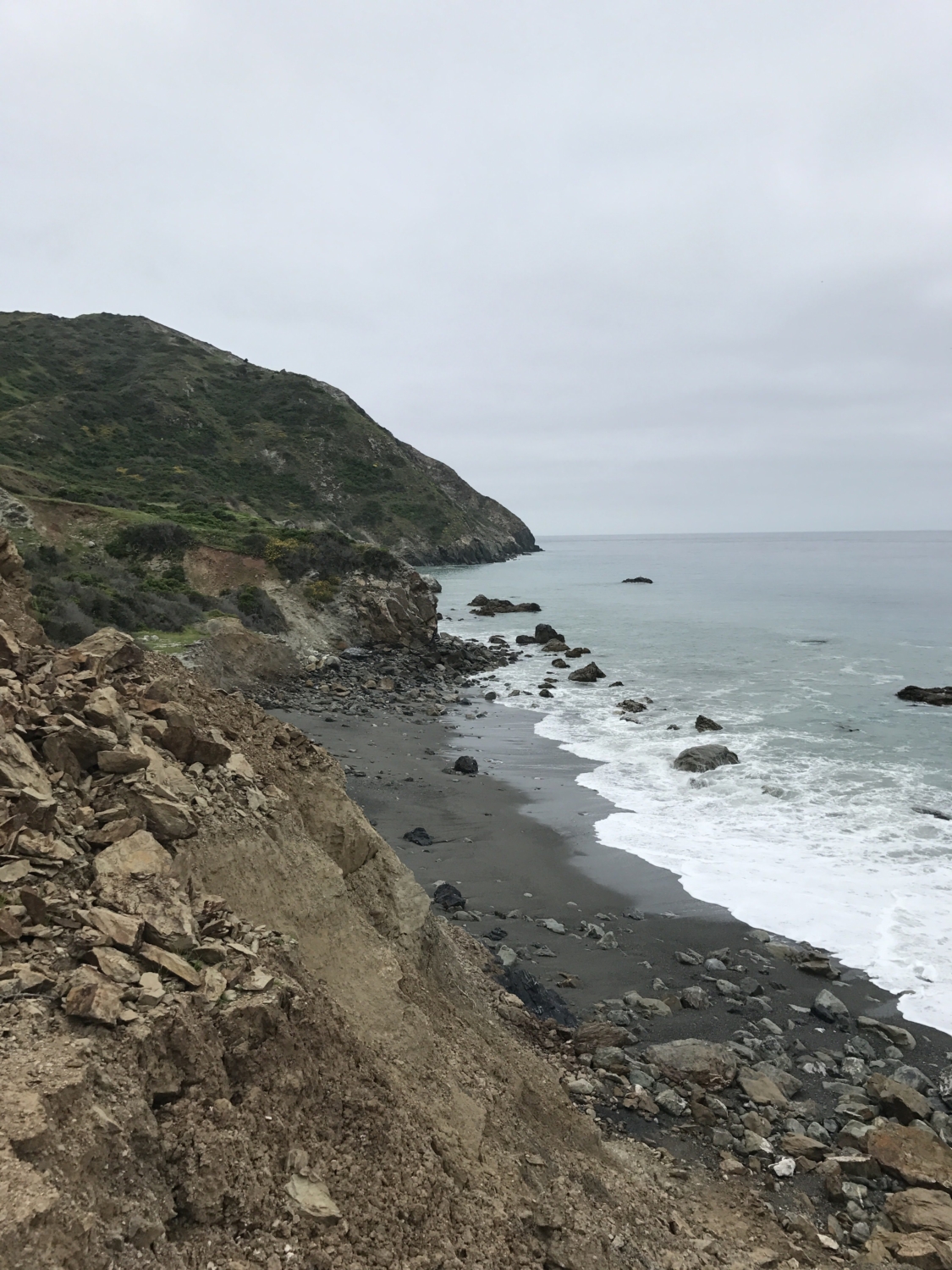
The mile 37 marker was a sight for sore eyes. After taking an obligatory picture we traveled downhill to an overlook point of Starlight Beach.

Starlight Beach. The end of the trail.
All that was left was to get back to camp and take the fire road back to Two Harbors. The Trans-Catalina Trail was complete but we still had to get back home. After returning to camp and packing up for the last time we headed east on the fire road (aka West End Road) for 6-7 miles. The road hugs the coastline without much elevation change; however, it was difficult to tackle this stretch given the many miles we had already endured.
We finally reached Two Harbors, ate another cheeseburger, switched into flip flops and waited for the Catalina Express to take us back to San Pedro. Our total hike time was about 19 hours and we had tackled the 37.2 miles of the Trans-Catalina Trail as well as 13-14 extra miles to get to and from the boat.
Tags: Backpacking, Camping, catalina, catalina island, channel islands, Hiking, island, southern california, trans-catalina trail


