When you think of Ojai, hiking is not usually the first thing that comes to mind. Usually, Ojai brings to mind wineries, art galleries, and boutique hotels. For me, Ojai is a hiker’s paradise. There are plenty of trails, spectacular views, perfect weather and, the best part is, very few people seem to know this. The trail to Topa Topa Bluff is difficult and rewarding and offers some of the best views in Ventura County — and you’re likely to have the entire trail all to yourself.
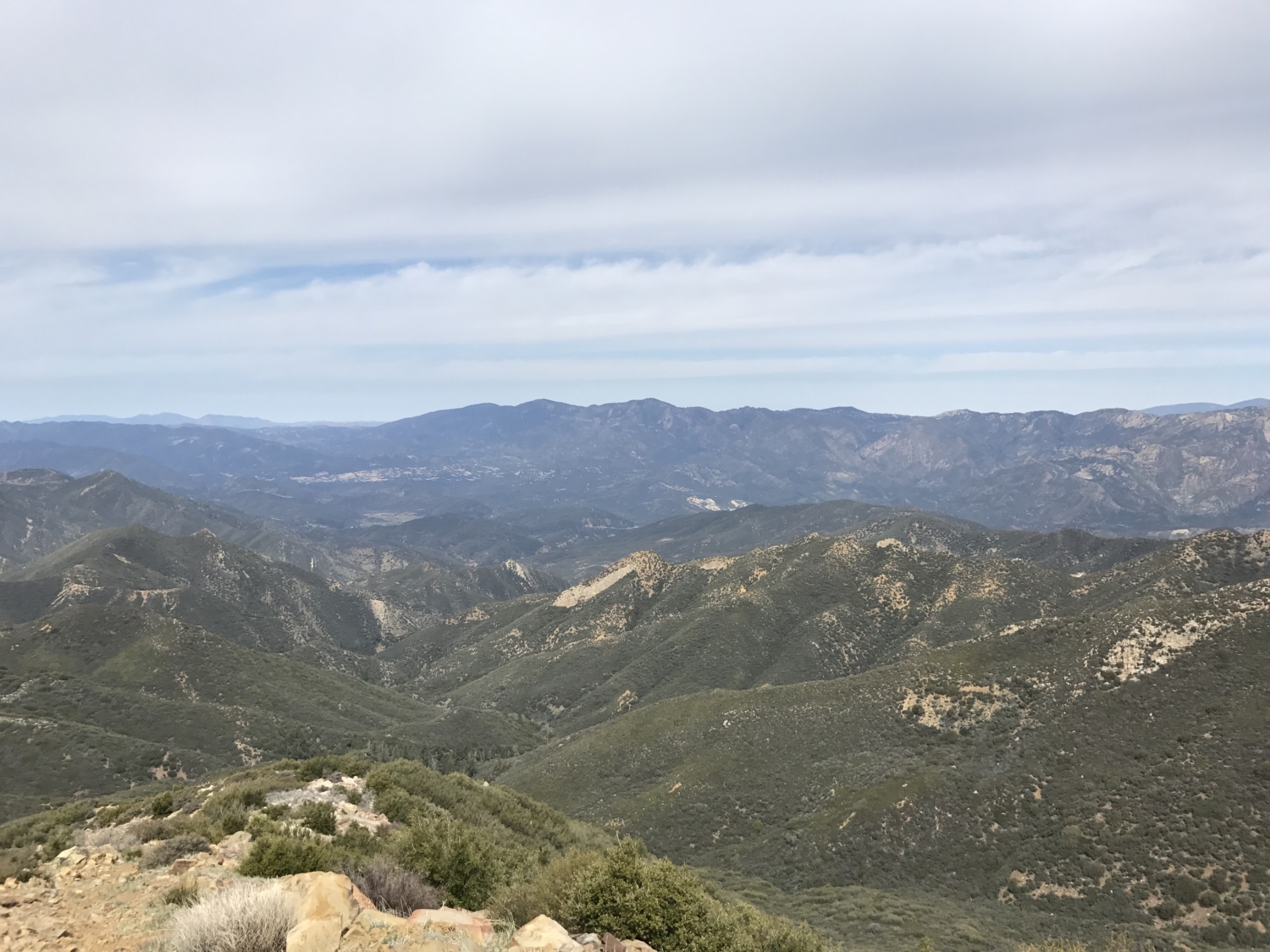
The valley is surrounded by tall bluffs that, as the sun is setting, take on a beautiful pink hue that locals call the “Pink Moment.” One of these bluffs is Topa Topa Bluff. From the top of this promontory, you can see Ojai, Ventura, the Pacific Ocean and the Channel Islands.
To reach this vista though, you must do some serious climbing. Be sure to plan for a long day of adventure. This trail will definitely test you, but it will repay you for the struggle with unbeatable views at the top.
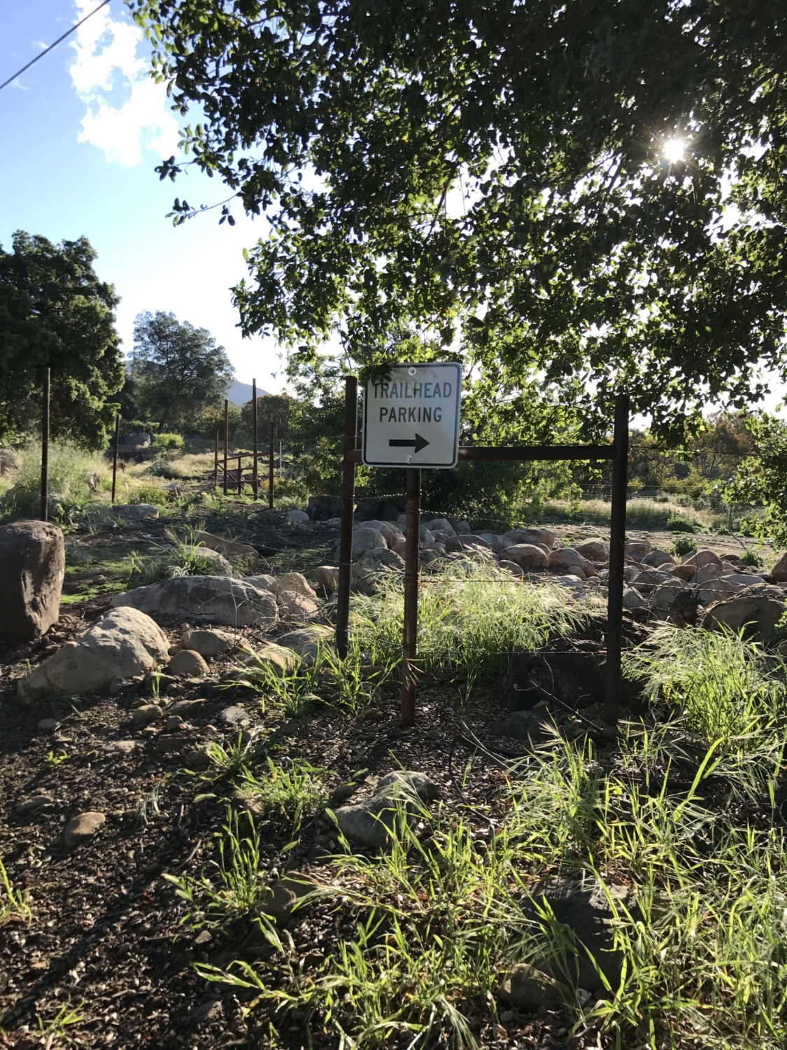
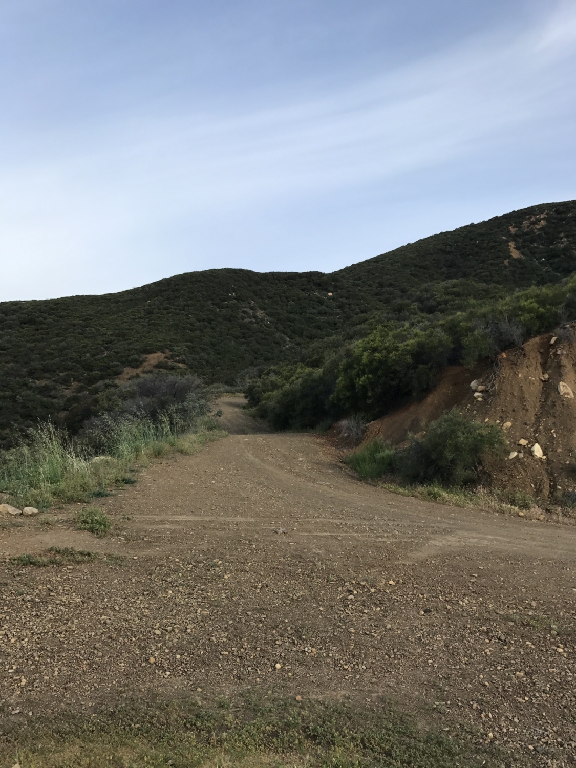
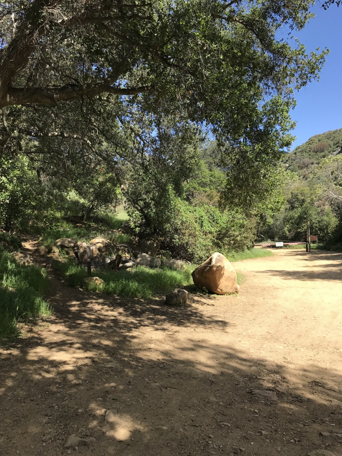
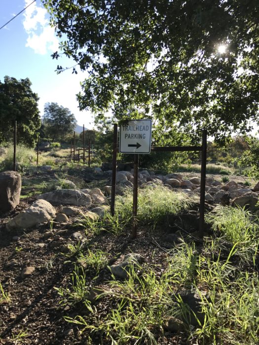
You will begin at the end of Sisar Road. There are 2 parking areas and they only accommodate several cars each, so be sure to start early. The parking areas are designated by signs and can be found on the right side of the road. I always plan to park here by sunrise. There are a lot of mountain bikers who use this trail as well so the parking can get full quickly!
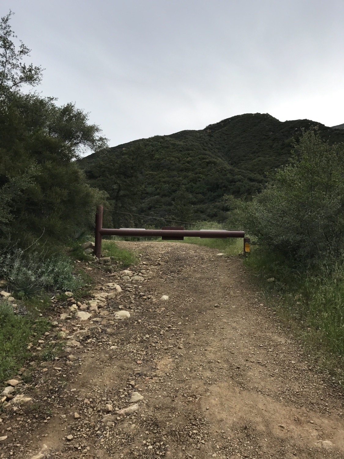
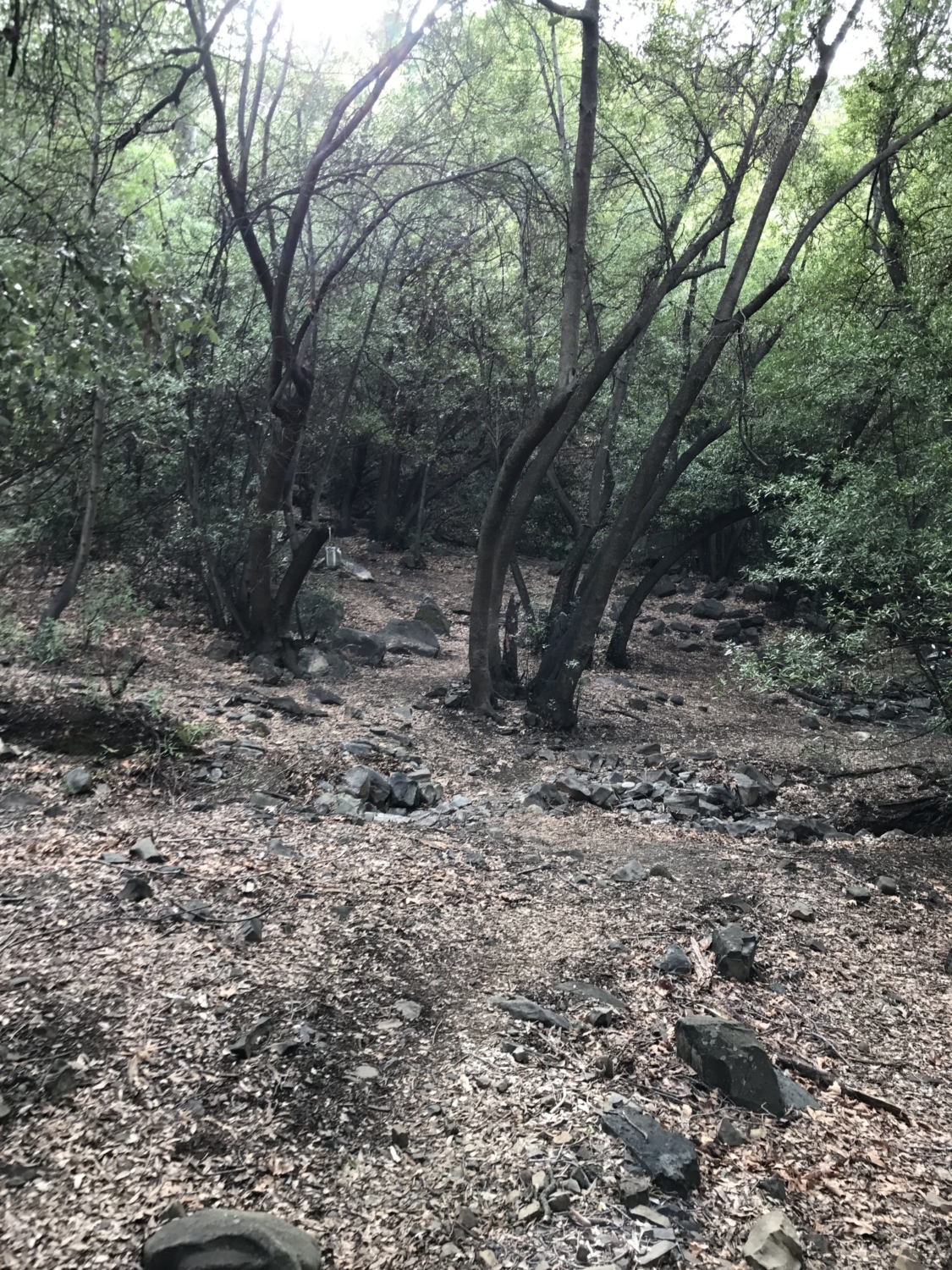
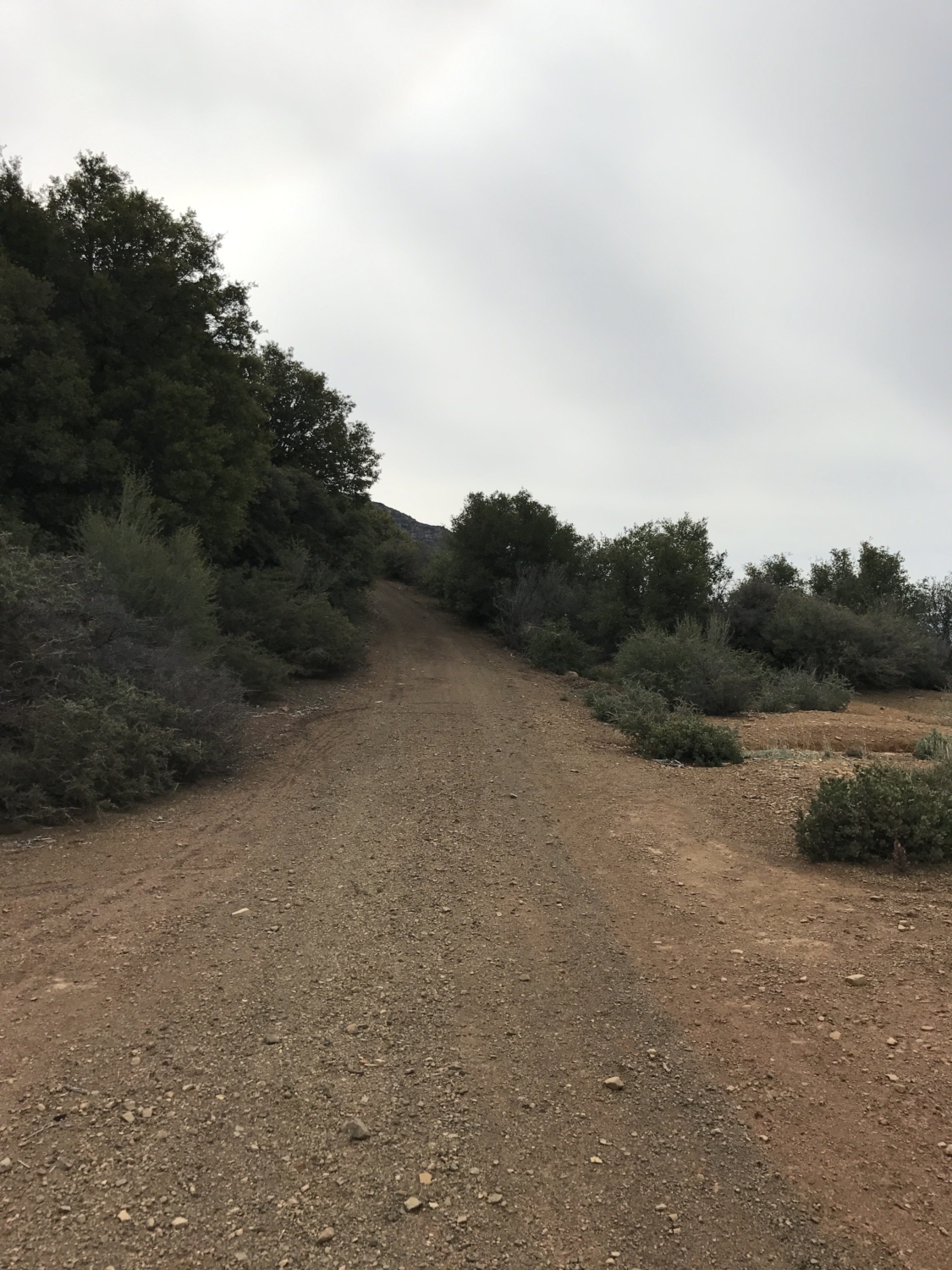
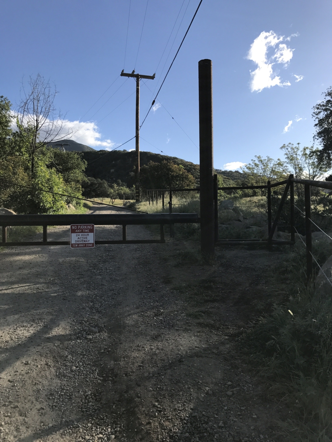
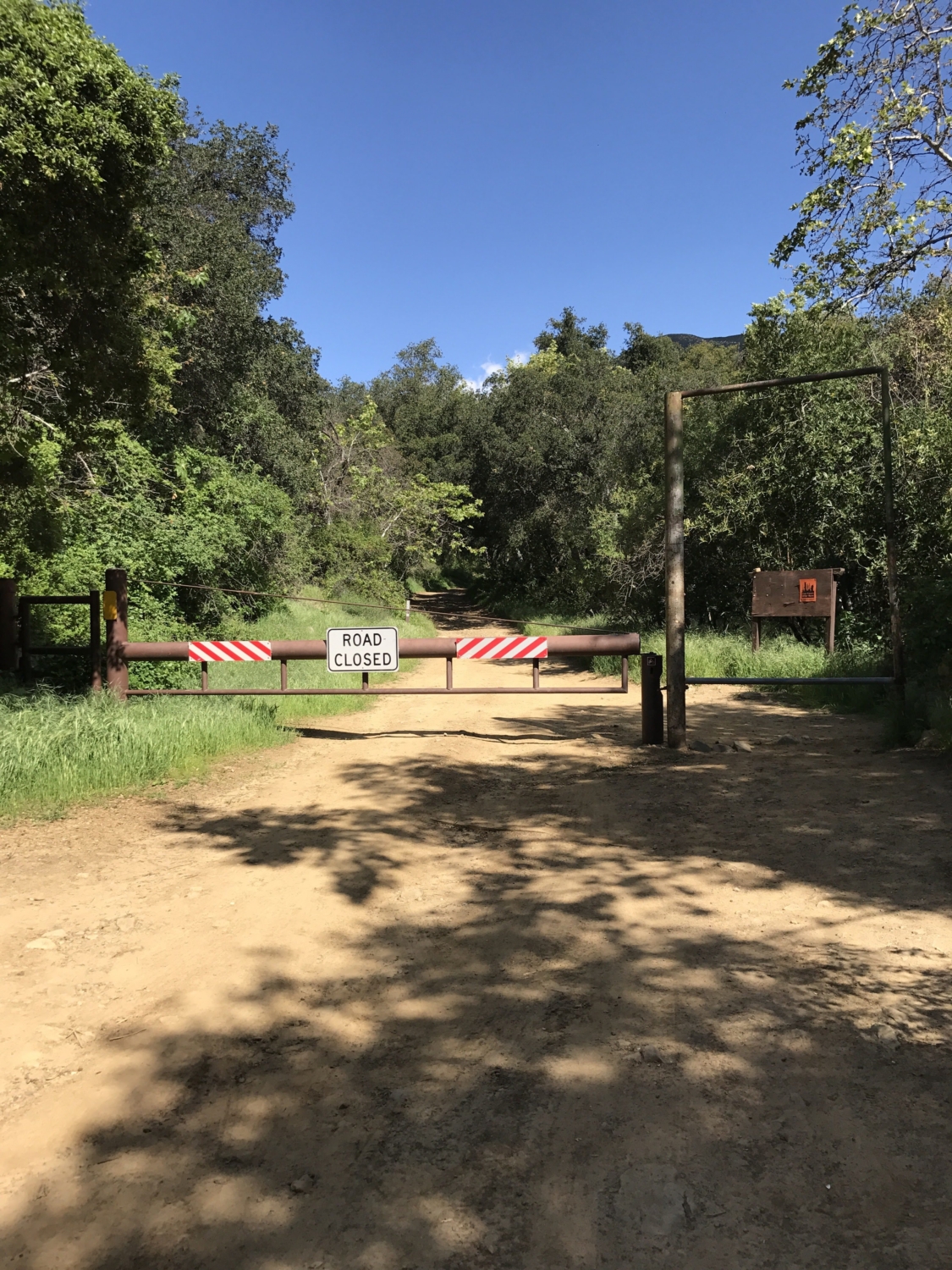
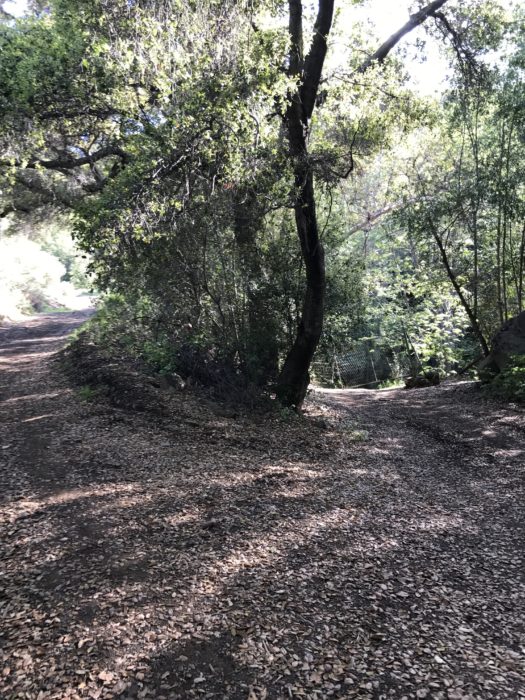
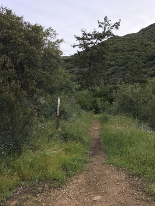
After parking, continue walking up the road and you will reach the first of several gates. The gate looks impassable but you can squeeze by on the right side. This is the first of three gates like this. The road turns to dirt and travels up the shaded Sisar Canyon.
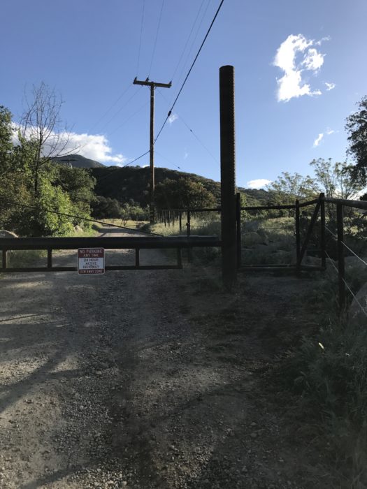
The trailhead and the first gate.
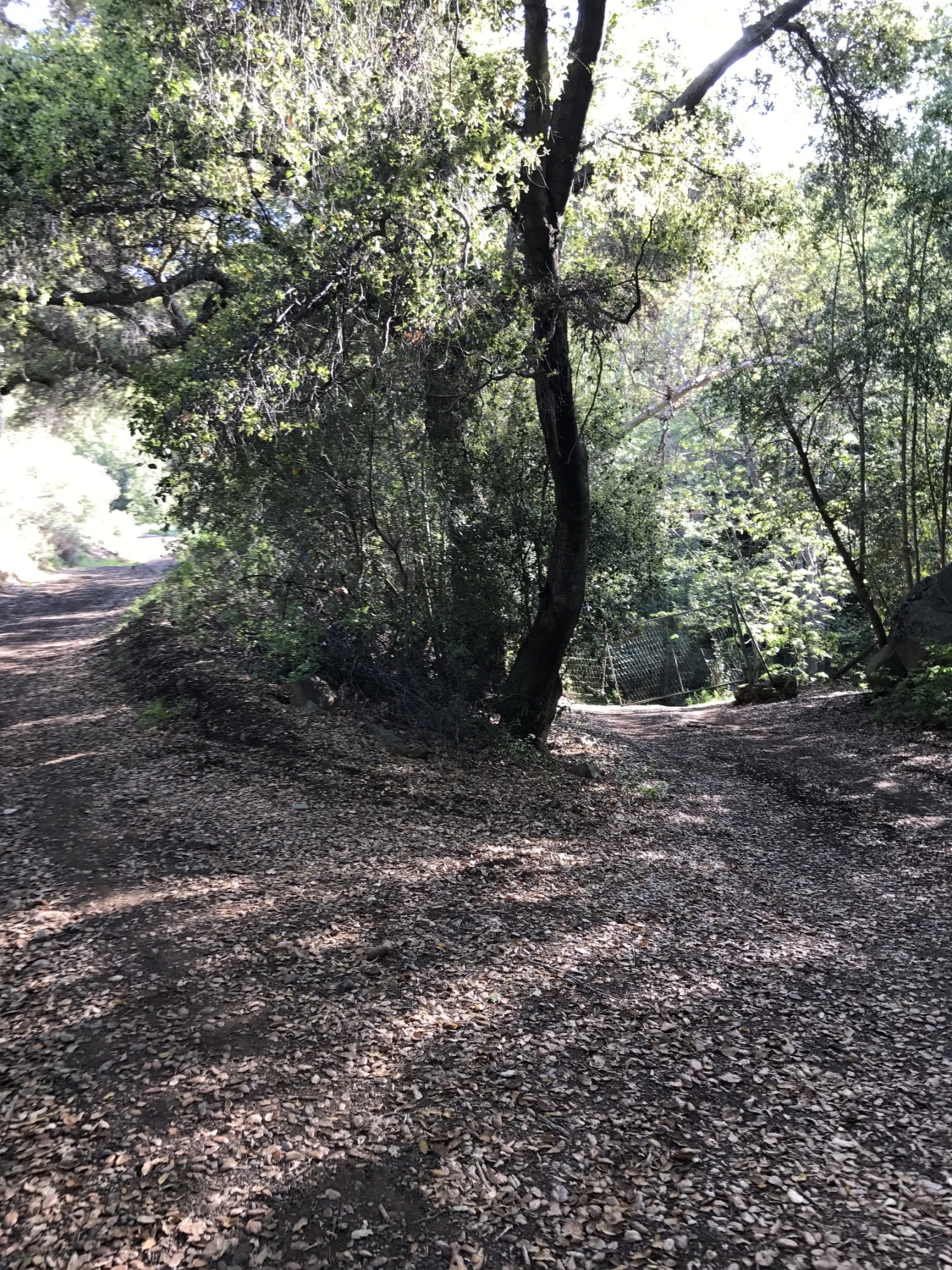
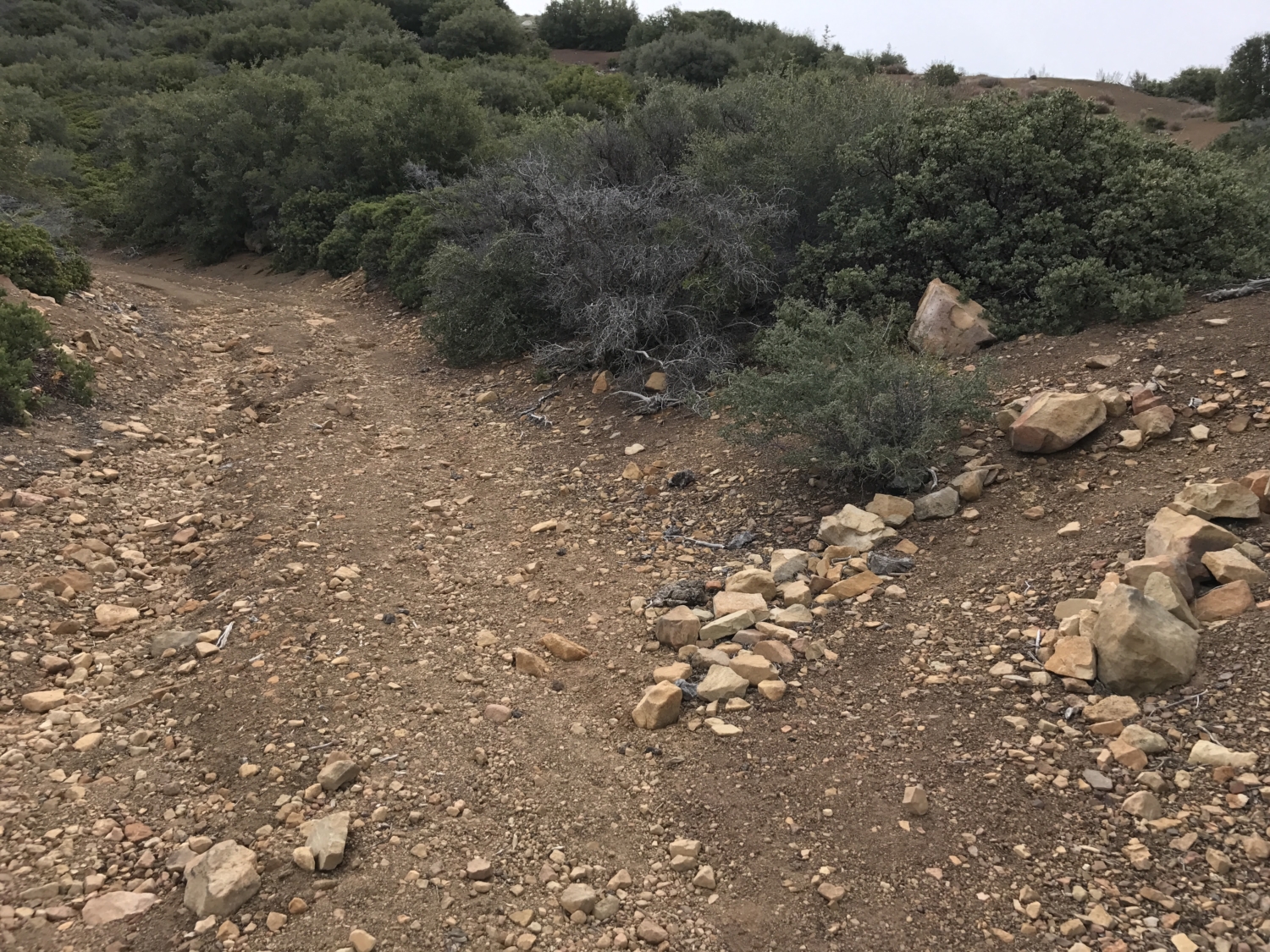
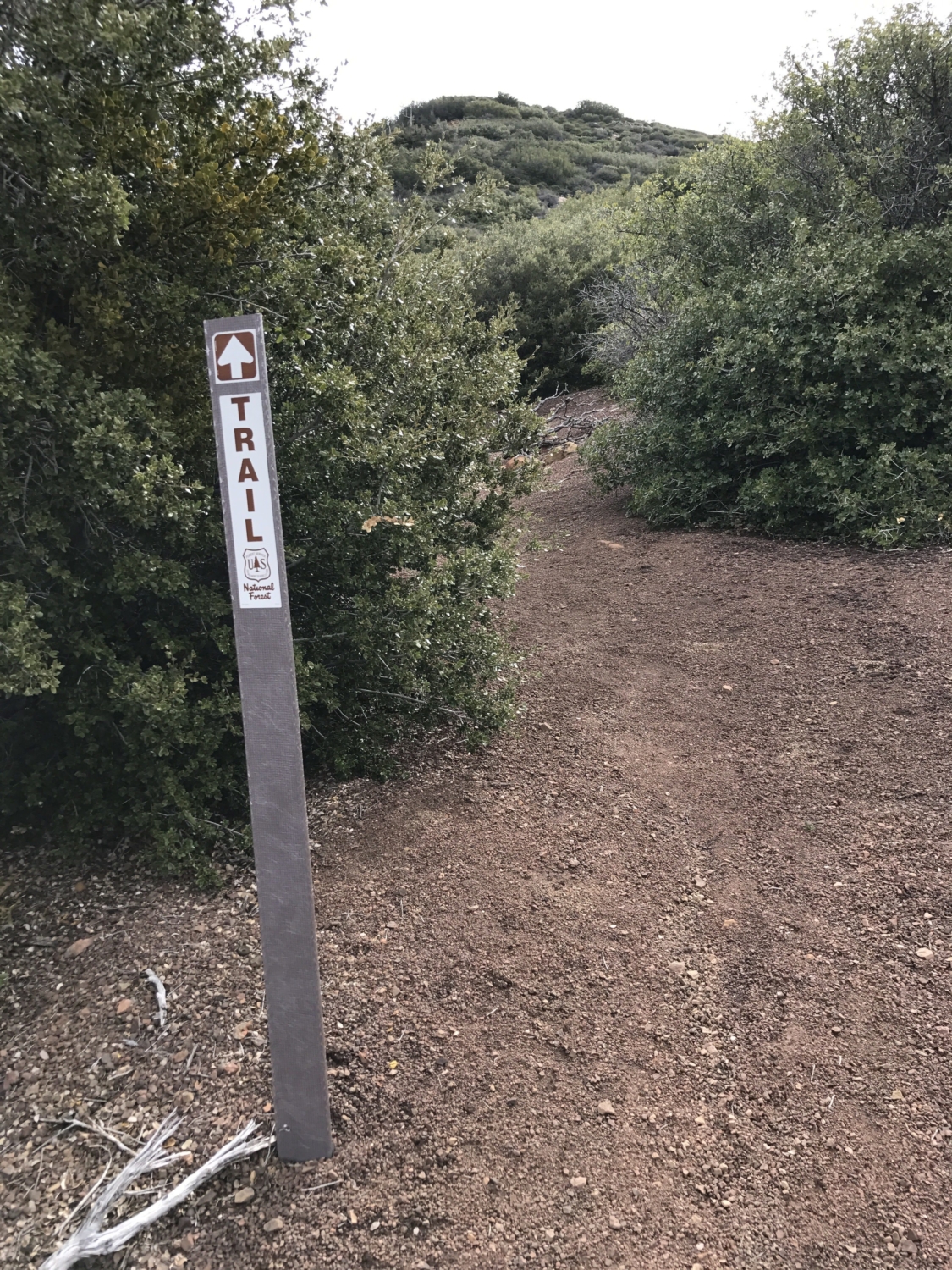
There is an intersection not far up the road; keep to the right along the wide dirt road that travels alongside the river.
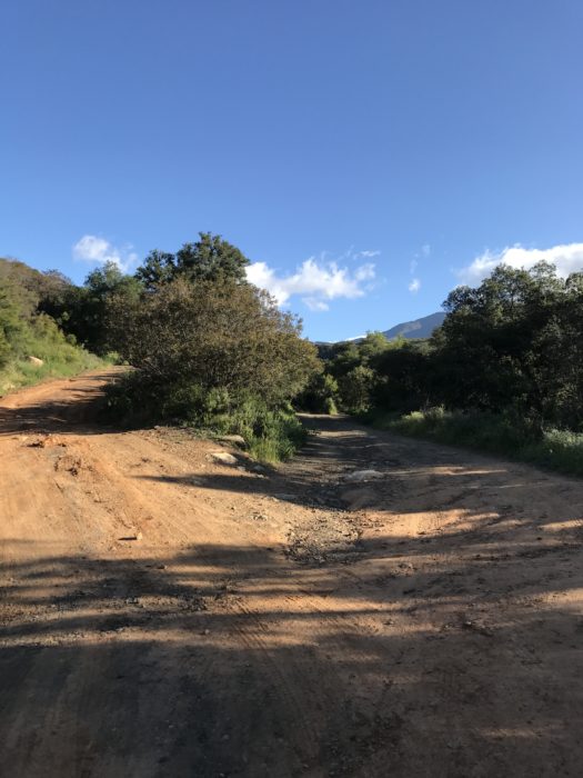
The first intersection. Stay to the right!
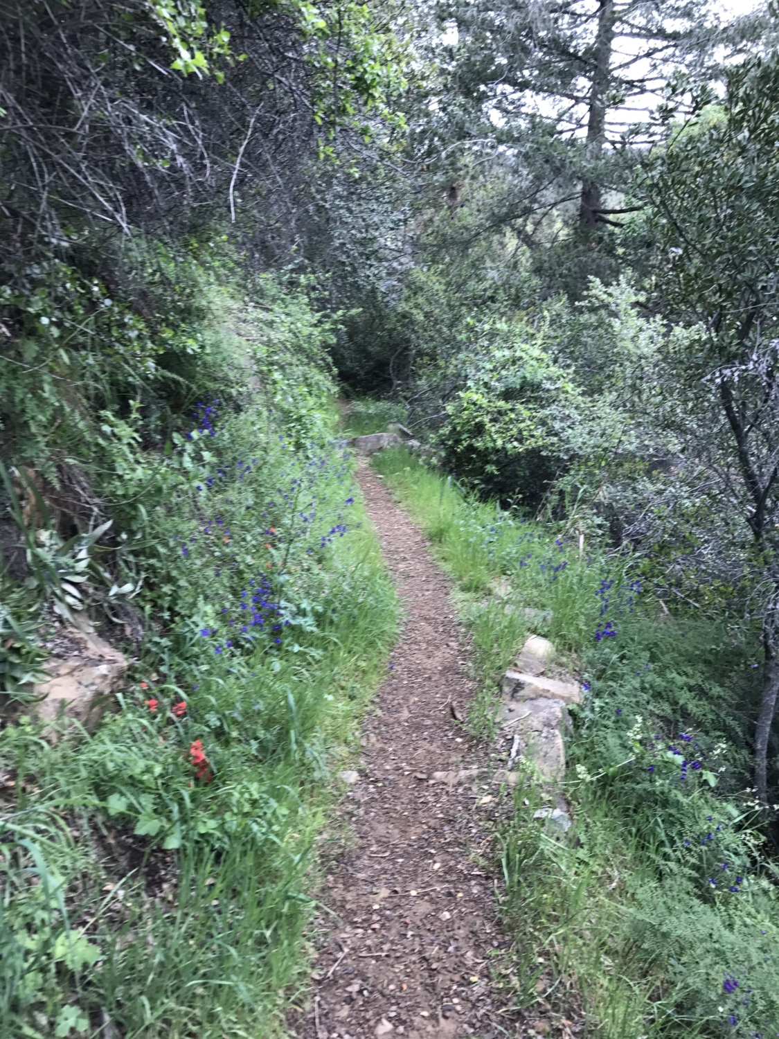
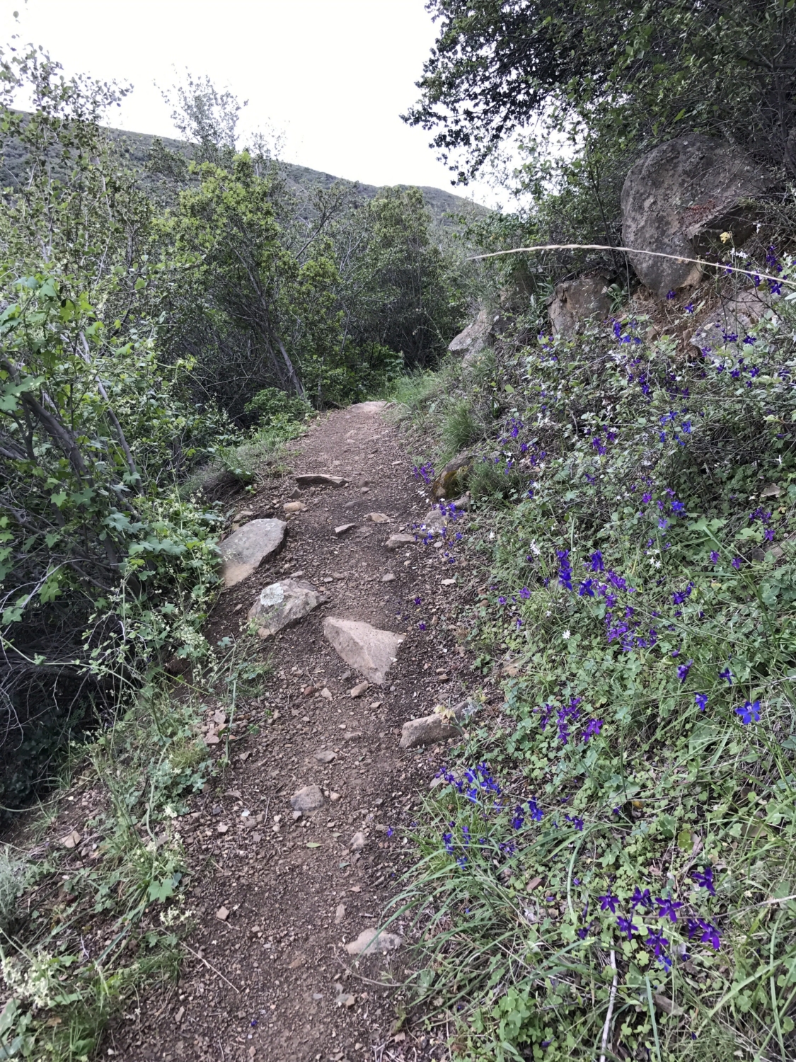
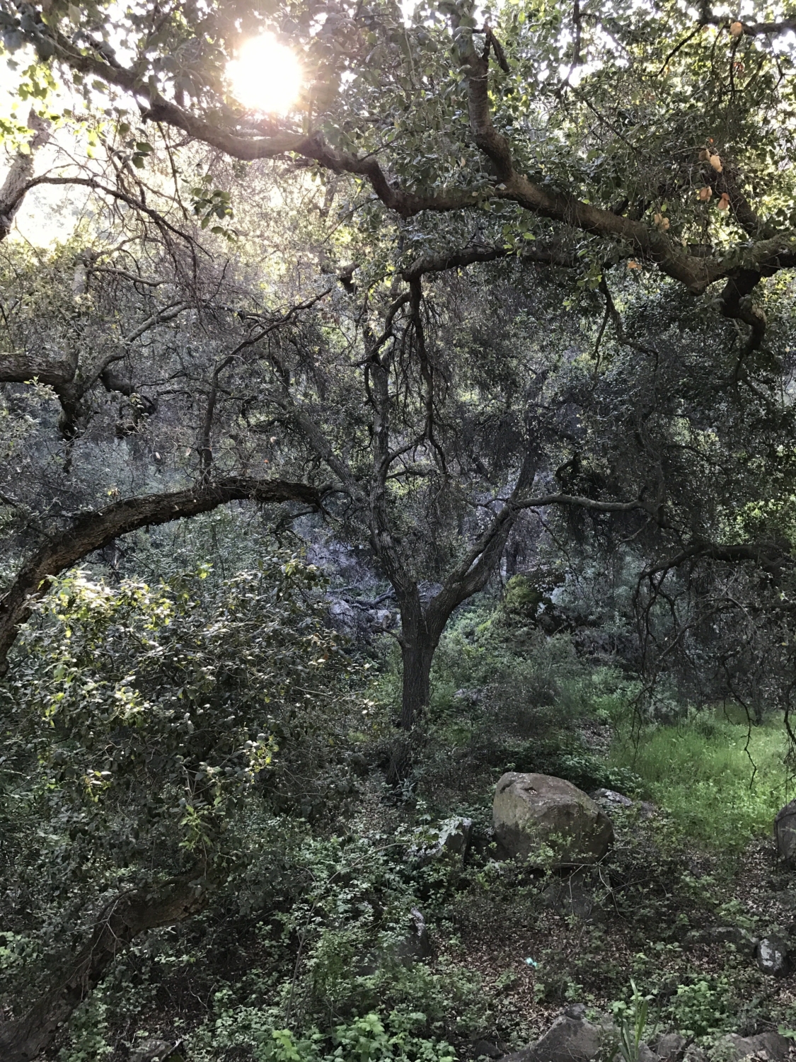
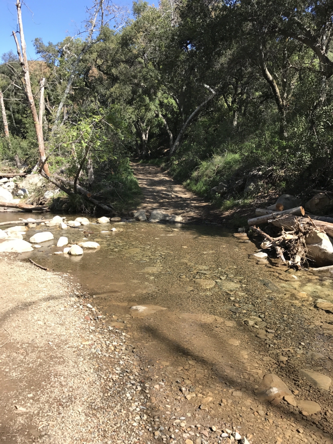
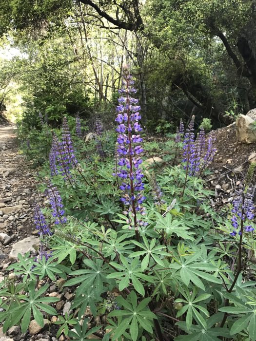
This shaded canyon is beautiful, especially in the Spring. Wildflowers line the path and Santa Paula Creek flows on the right side. The creek can be quite full after a rainy season and there are two times that you will have to cross the creek as you venture down the canyon, so if it’s been a wet winter, prep for some fun crossings.
Before reaching the creek crossing, though, you will encounter another gate. There is a small trail off to the left side which you can take to go around the gate, or simply walk up to the gate and pass it on the right side.

The second gate. Pass to the side of the gate or via the trail off to the left.
You will reach the first creek crossing not far after the gate (about 1 mile from the trailhead). Trekking poles will come in handy here when navigating across the rocks to reach the other side, especially if there’s high water flow.

First creek crossing.
Two miles down the canyon, you will encounter another fork in the road. The road to the right has a small gate and the road to the left curves up and out of the canyon. Keep to the left.
Stay to the left and go up the road.
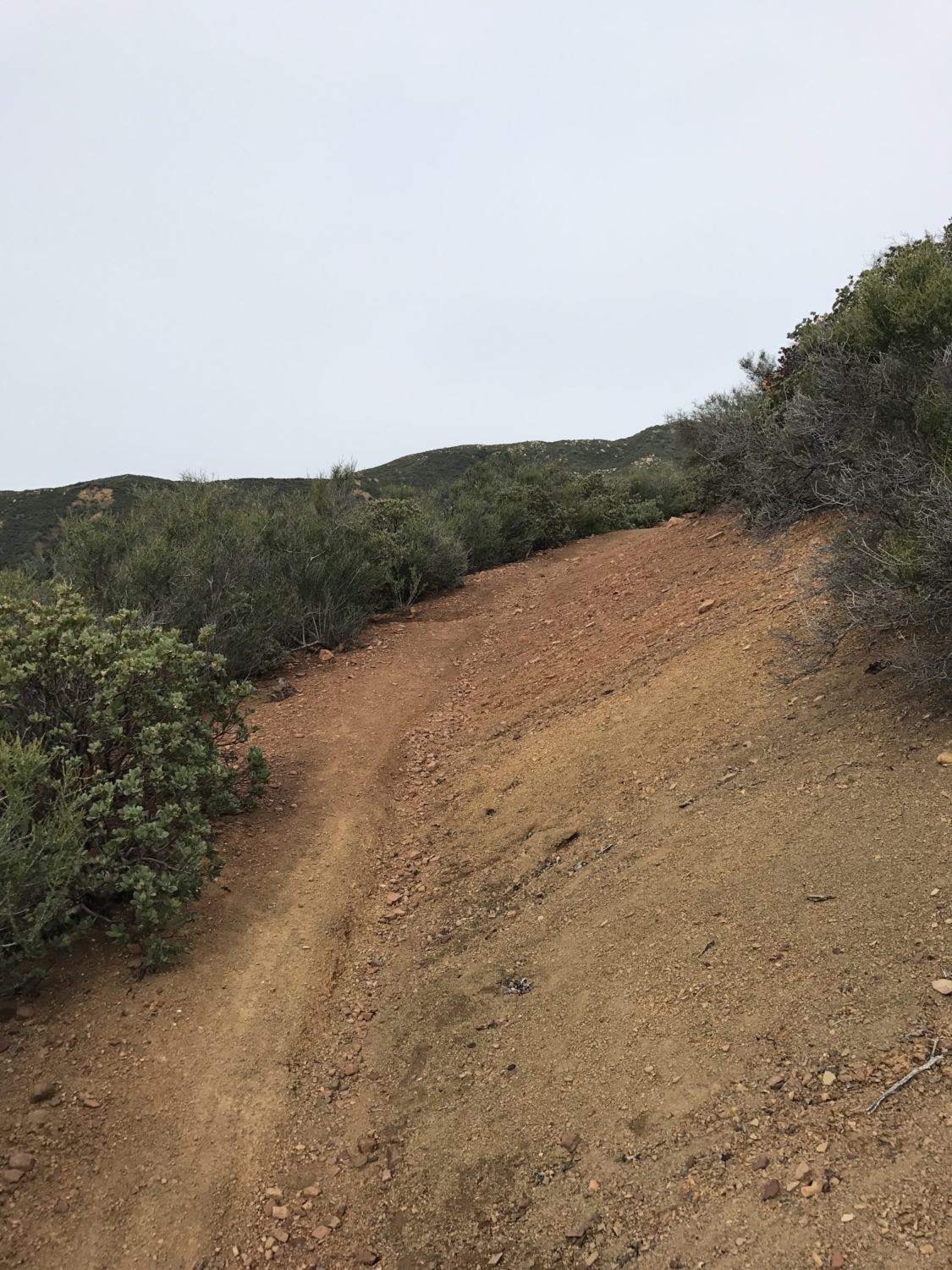
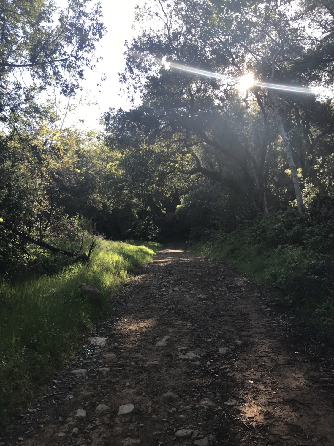
Another 0.4 miles and you will finally exit the canyon as the road gradually starts to climb. Enjoy the last bit of shade from the canyon as there is little respite from the sun for rest of the journey.
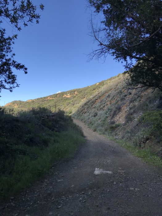
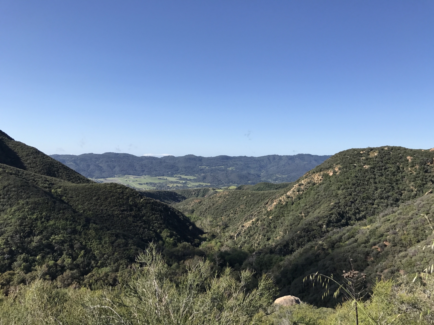
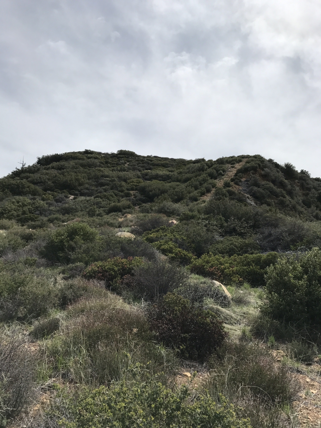
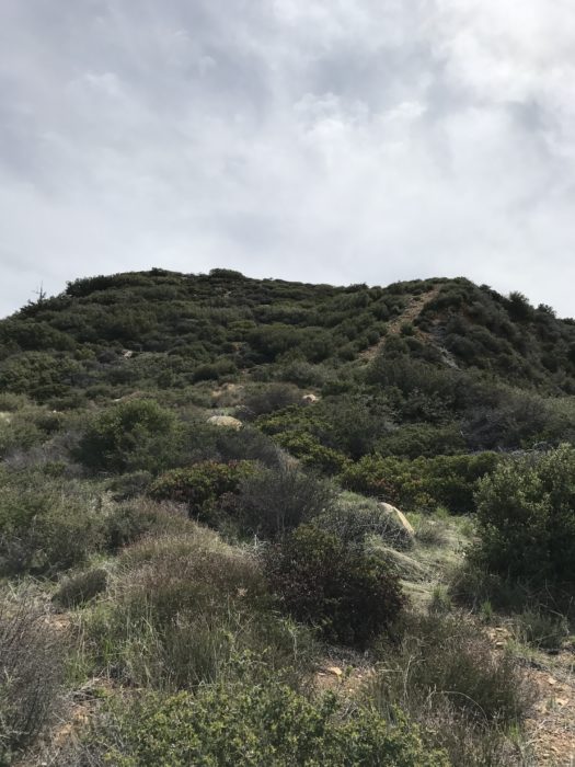
Pause for a second at the first turn up the hillside to appreciate the start of some gorgeous views of Ojai and of the Topa Topa Bluff you are about to scale. The bluff looks pretty intimidating from this vantage point.

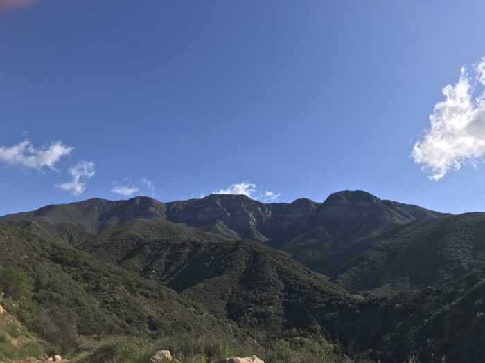
Topa Topa Bluff.
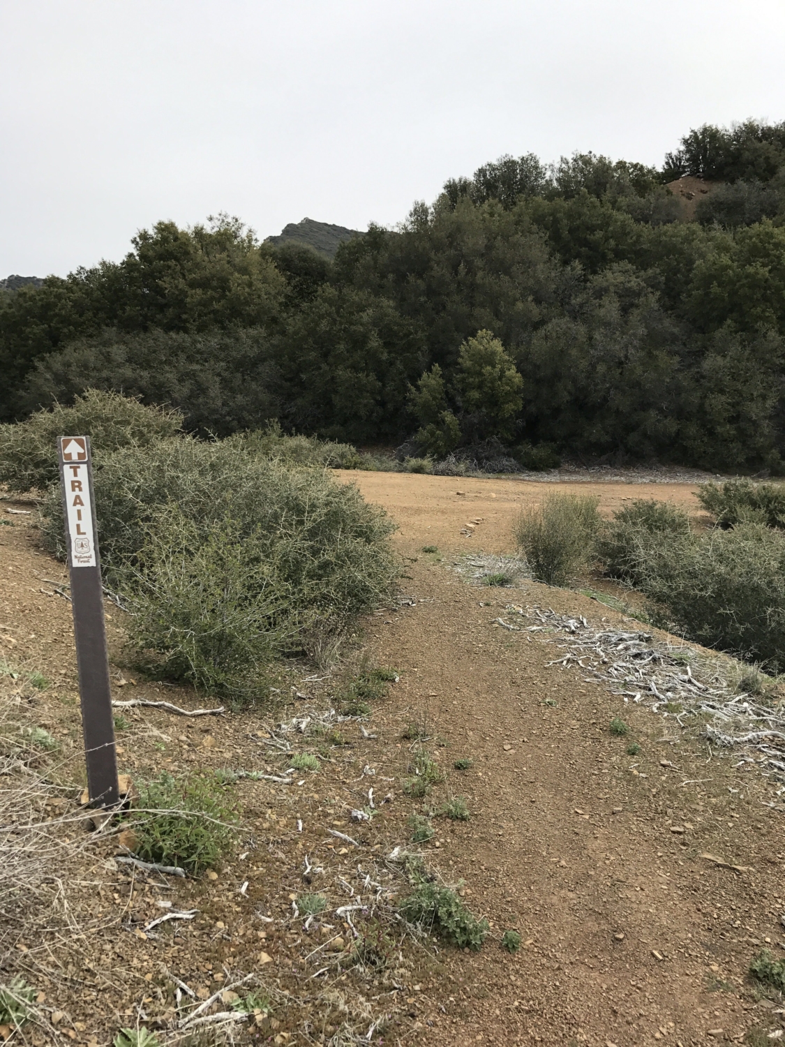
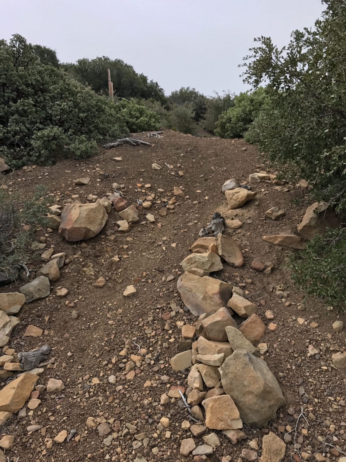
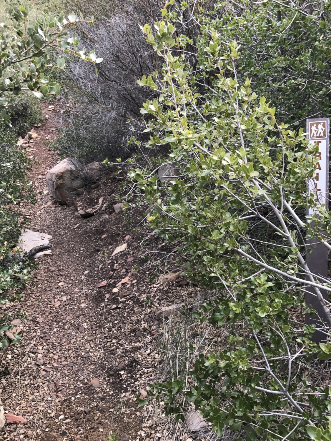
Continue up the fire road another mile until you reach yet another gate just past the 3 mile mark. Past this gate, you will notice there are 2 options: a narrow trail to the right or to continue up the fire road to the left. Take the trail route (known as Red Reef Trail) and make your way along the hillside to White Ledge Camp.
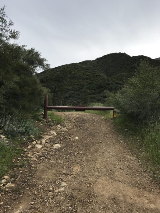
The third and final gate.
Beginning of the Red Reef Trail off the fire road behind the third gate.
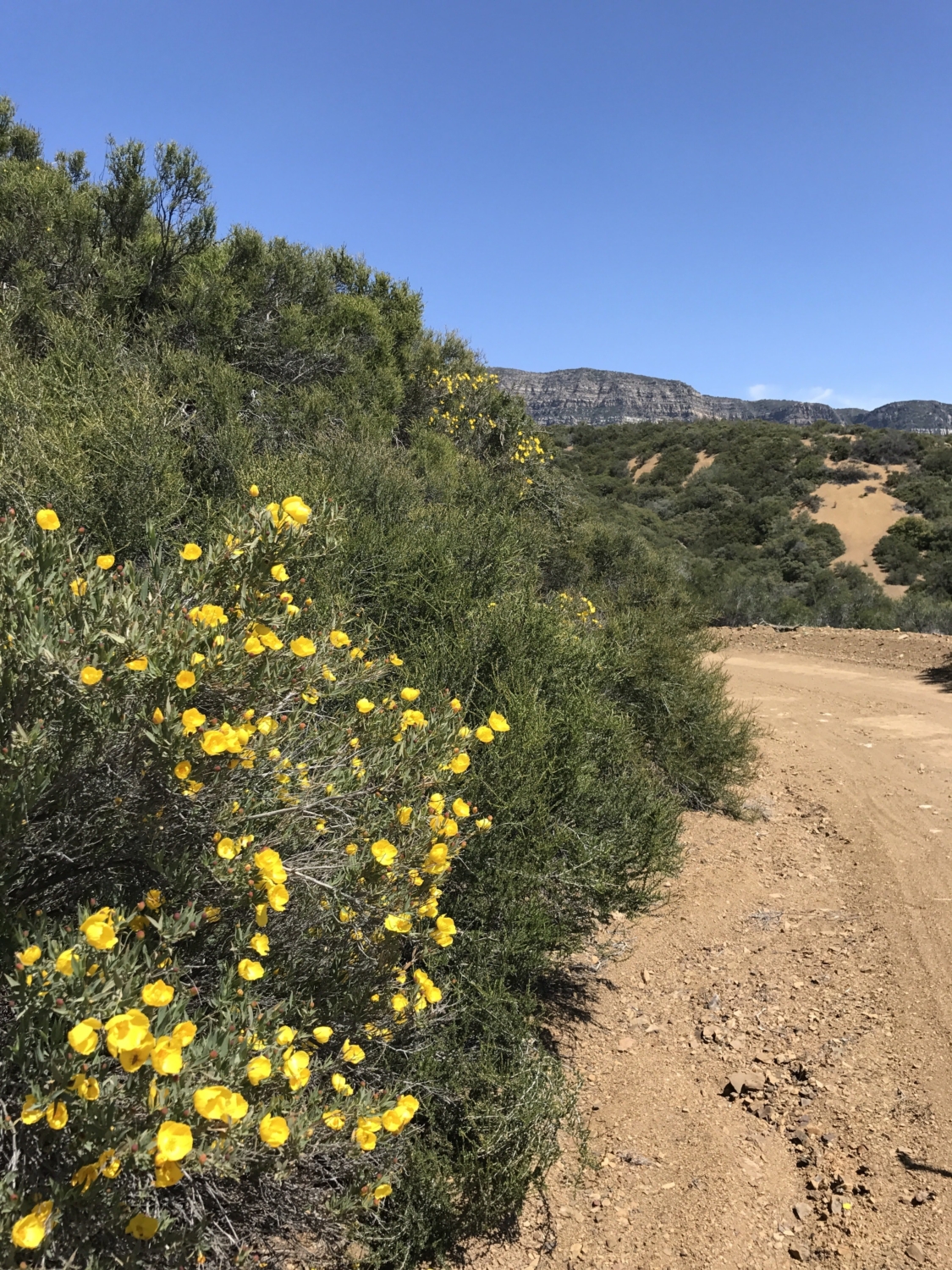
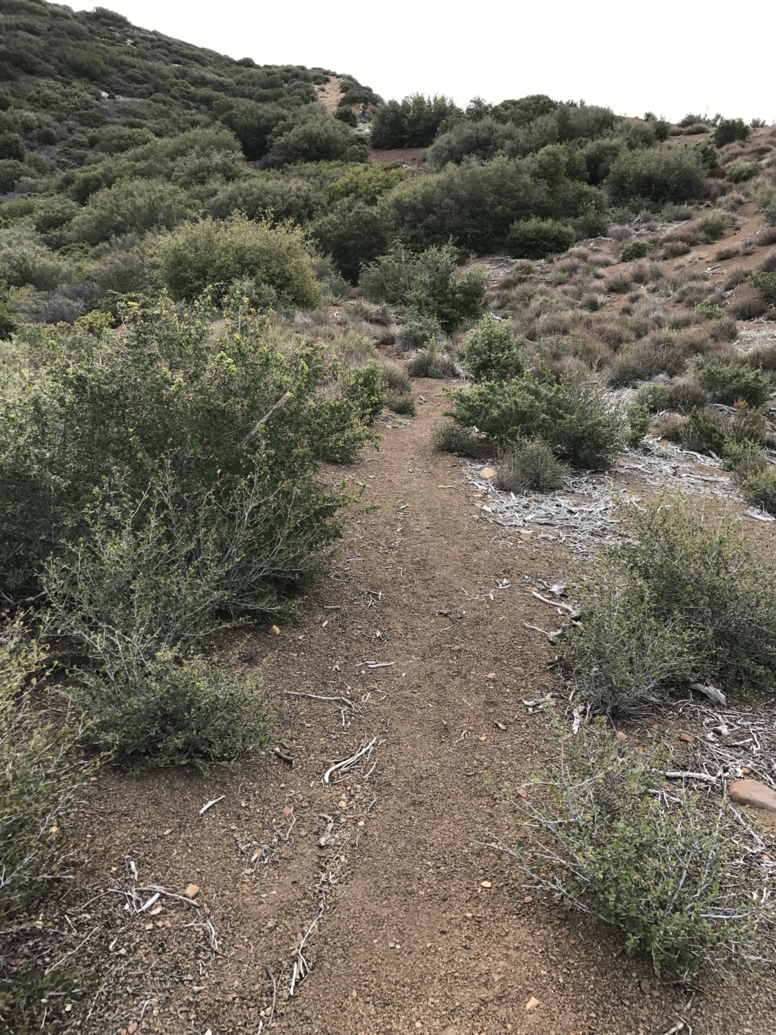
This mile long stretch of the trail is lined with wildflowers in the springtime.

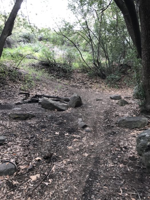
After a little over 4 miles, you will arrive at White Ledge Camp. This camp has 3 sites and sits along the creek in a shaded grove. This is a nice place to stop and rest before the slow trudge up to the bluff. There were a few campers waking up there when we passed through, but it was mostly quiet.

White Ledge Campground.
Trail leading out of the campground.
Exit the camp by heading up the hillside to the left. The trail slowly winds upward and the scenery starts to change from the lush canyon floor wildflowers to manzanita and yucca plants. If you started early, like we did, this is when you start to feel the sun beating down on you as there is absolutely no shade.
This arduous stretch of trail lasts roughly 2 miles as it crawls up towards the bluff. When you stop to catch your breath in this section, take a look behind you and start to appreciate the Channel Islands as they become more visible the higher you climb. These views seem impressive now, but just wait until you get to the top!
Finally the trail levels off and you reach some signage. The trail meets back up with the fire road here. Take the road to the right.


After about half a mile from the sign (6.5 miles in total from the trailhead), a small trail turns off the fire road to the right. The trail entrance is lined by rocks and there are no signs. Follow this and look up the hillside for the next trail marker off to the left.

Go off the fire road and to the right.


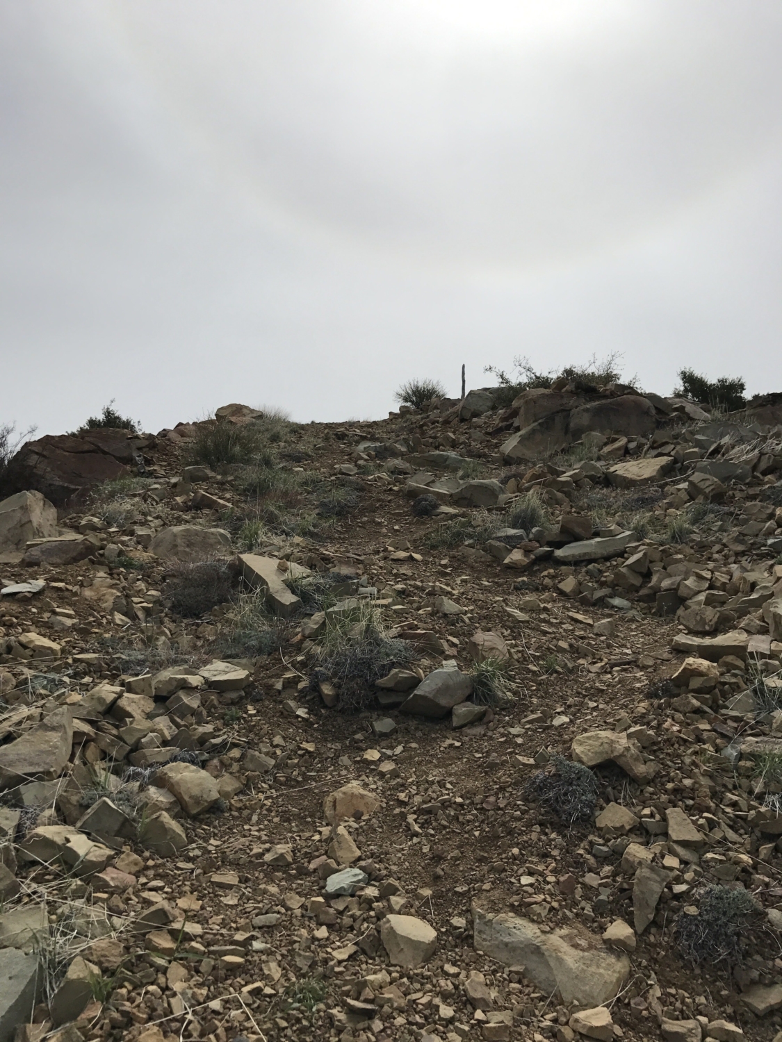
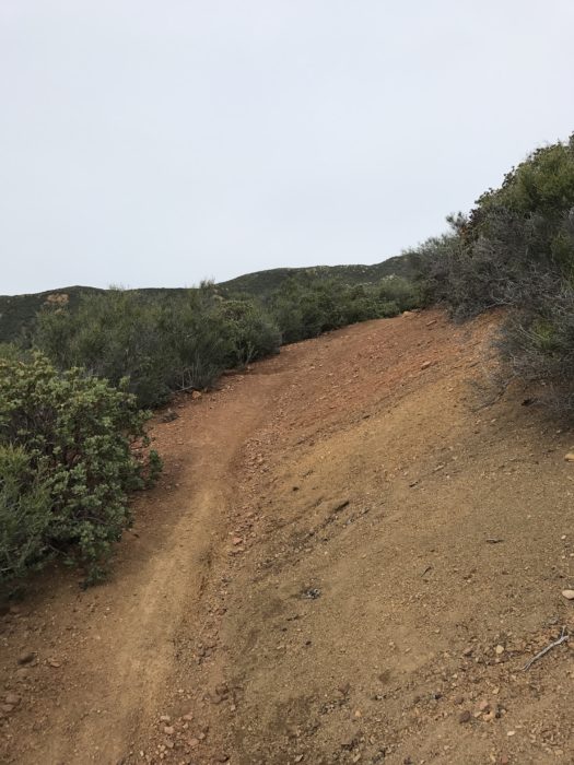
Now here is where things get tricky. Looking up you will notice the steep washed out hillside path on the right that appears to be the only way to get up the hill. The trail actually switchbacks on the left hand side of the hill alongside the steep dirt path on the right. At times, these switchbacks can be difficult to find as the vegetation is overgrown; keep your eyes peeled though and you will find them. Do not resort to scaling the washed out dirt path to the right on this section, it is too steep and slippery — and you’ll be causing unnecessary erosion.
Switchbacks are on the left portion of this hill. Do not use the steep dirt path on the right.
Continue to use the switchbacks until the trail levels off. You are almost there! All that is left is a short but steep switchback section to the top.
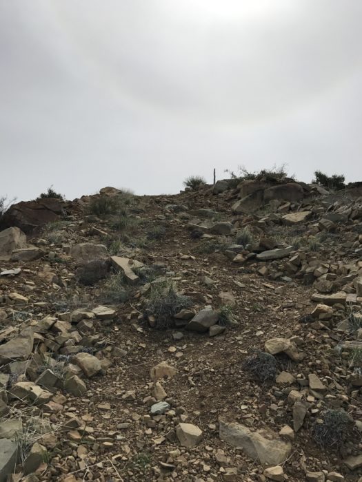
The final ascent!
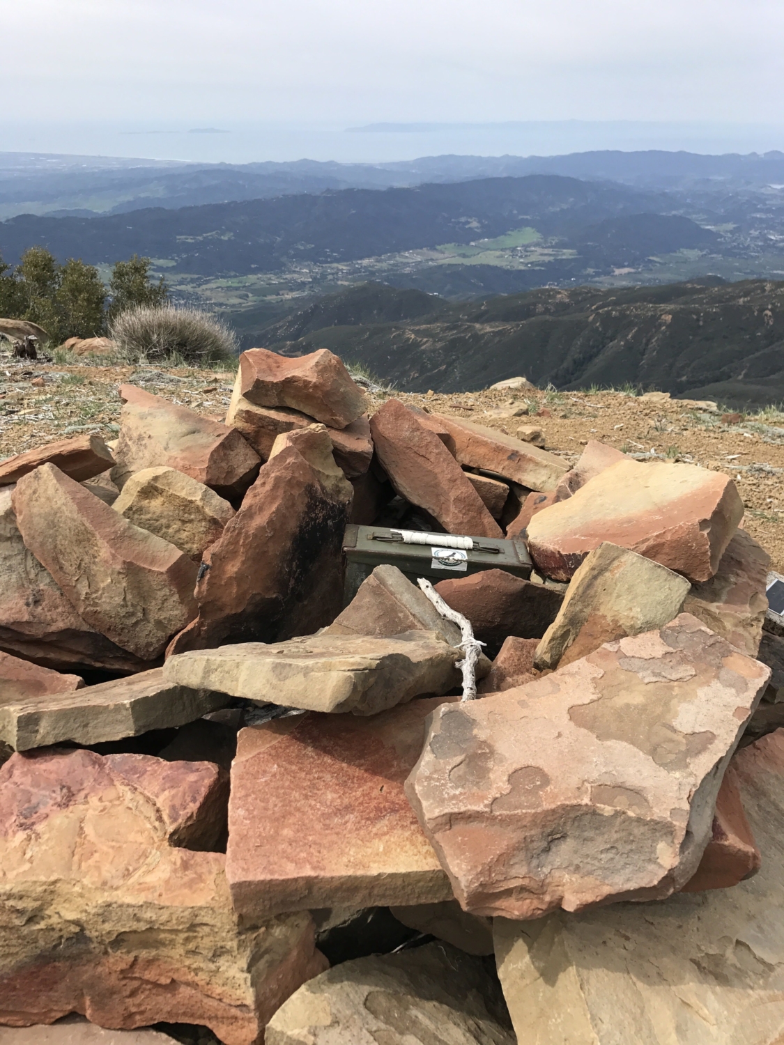
Keep climbing and you will have finally made it! Time to sign the registry and appreciate the views. The Channel Islands (Anacapa, Santa Cruz and Santa Rosa) are visible to the west. The expanse of the Los Padres National Forest and Sespe Wilderness is seen to the north and to the east. And finally, on a clear day to the south, you can just start to make out the northern parts of the San Gabriels. You can end your journey here, which after 7.5 miles is totally understandable, or you can continue to walk south along the bluff to take in more views.

Trail register box.

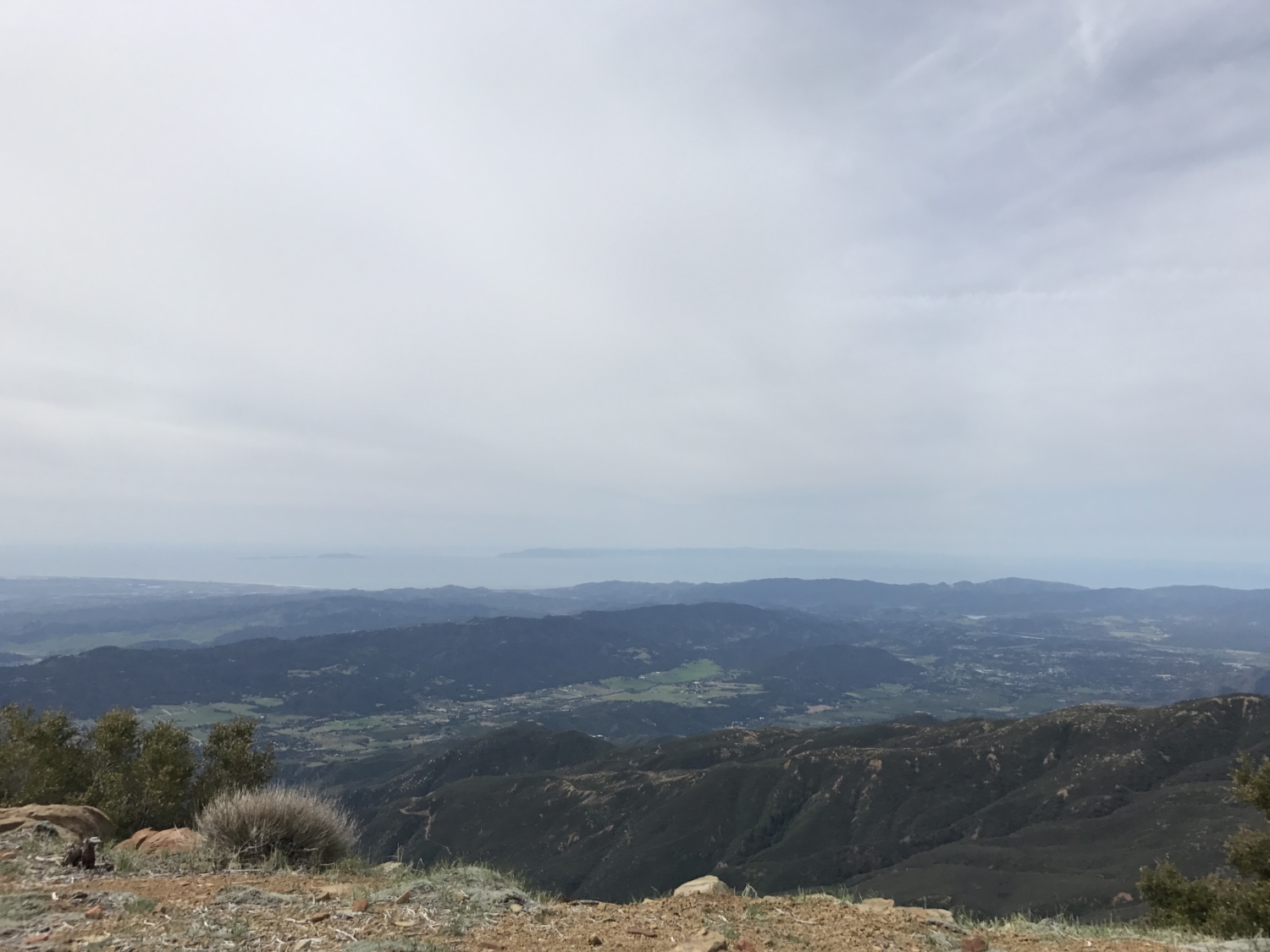
Channel Islands (Anacapa Island on the left, then Santa Cruz Island and Santa Rosa Island on the far right).

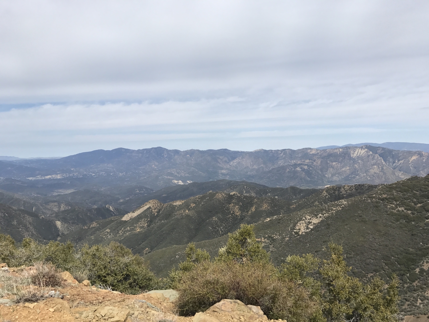
Sespe Wilderness Area.
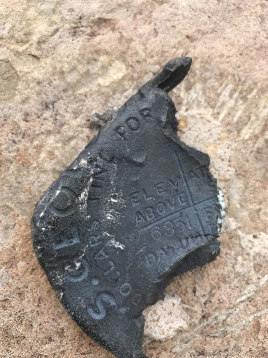
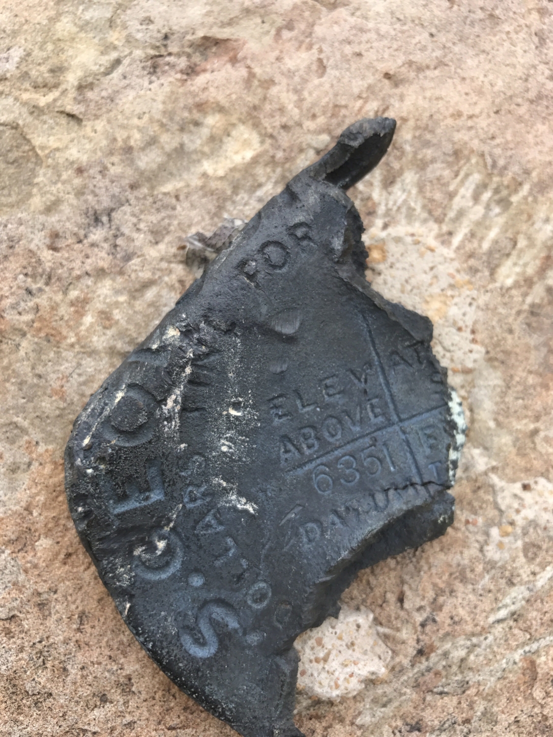
USGS marker. This one is a bit beat up.
Return trip options:
1. You can return the way you came (roughly 7.5 miles back to the trailhead, 15 miles round trip)
2. Or take the dirt road back to Sisar Canyon Road (18 miles round trip)
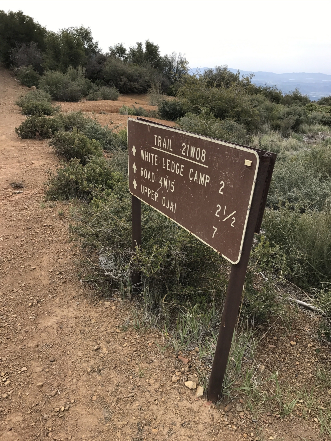
This time we chose the fire road as the descent was more gradual and a bit easier on the knees. This route is a bit longer however. To go this route, you continue on the dirt road past where the original trail intersected with the road. Note that if you choose this road, you will at one point reach the sign (see below) on the left, which is about 2.75 miles from the top of the bluff or 1.25 miles down the road after reaching the sign leading back to White Ledge Camp.
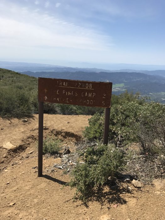
Look for this sign off the fire road and then take this trail towards Pines Camp for 0.8 miles until you intersect with the road.
Take this trail and follow it off the fire road for about 0.8 miles as it switchbacks down the hillside. This trail will meet back up with Sisar Canyon Road. Unfortunately, this 0.8 mile section of trail is a little washed out, but it will save you about 1.5 miles of additional fire road on your return journey. Please be careful of snakes in this part of the trail as it is more narrow. When the trail meets back up with the fire road, take the fire road to the left and follow it slowly back down until it meets back up with where you originally left Sisar Canyon Road (at Red Reef Trail).
In retrospect, I probably would have taken the other route back as it would be about 2.5 miles shorter. I have taken both routes back and I would advise that if you are looking to get back down as fast as you can, take option 1.
Some other notes on this trail:
- Rattlesnakes are very common on the dirt road as well as the more exposed sections of trail. We ran into 3 snakes the day we did this trail. Watch where you are stepping and be smart.
- The majority of this trail is unshaded so bring sun protection (sunscreen, glasses, hat, etc.) and carry lots of water.
- The Sespe Wilderness is home to mountain lions and black bears. These trails are not as populated with people as the trails further south. You are very unlikely to encounter these creatures, however I have had friends who have encountered both mountain lions and black bears on this and other trails nearby. My advice is to not do this trail alone and instead, travel with friends.
Tags: Camping, Hiking, Los Padres National Forest, ojai, sespe wilderness, southern california, Ventura County