On a recent winter weekend getaway to Chilao Campground, I was tasked with finding a nearby hike that could accommodate the spectrum of experience levels in our group. From casual outdoor adventurers to thru-hiking enthusiasts, I thought it would be an impossible task to appease everyone. However, after perusing online maps of the San Gabriel Mountains, I stumbled upon this gem. Its 8-mile length was initially intimating for our more novice hikers, but with only about 1,000 feet of elevation change and several points of interest, including a small lake and the Sulphur Springs Trail Camp, they were game. And the thrill of trekking along a section of the 2,650-mile Pacific Crest Trail was enough to keep our avid outdoorsfolk happy. It’s safe to say that this out-and-back hike has a little something for everyone.
Three Points Trailhead is where you will start your journey. If you choose to attempt this hike during the winter, be sure to check the weather and road conditions beforehand, as recent snowstorms may leave the trail inaccessible. Luckily for us, Los Angeles was in the middle of a string of sunny days, so while there were scattered snow patches along the trail, we had no issues with the hike or getting to the trailhead.
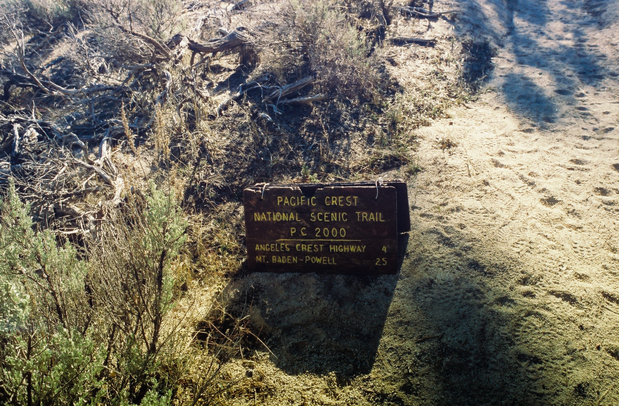
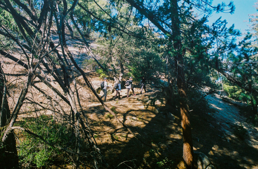
At the trailhead, there is a parking lot along with trash cans and several vault toilets for you to use. Once ready to go, cross the road and look for a large “Pacific Crest Trail” sign to start your hike. During the spring, it’s also very possible to run into thru-hikers – maybe they will inspire you to complete the whole thing someday.
This large “Pacific Crest Trail” sign marks the start of your hike. Shot on Kodak Ultramax 400 35mm film.
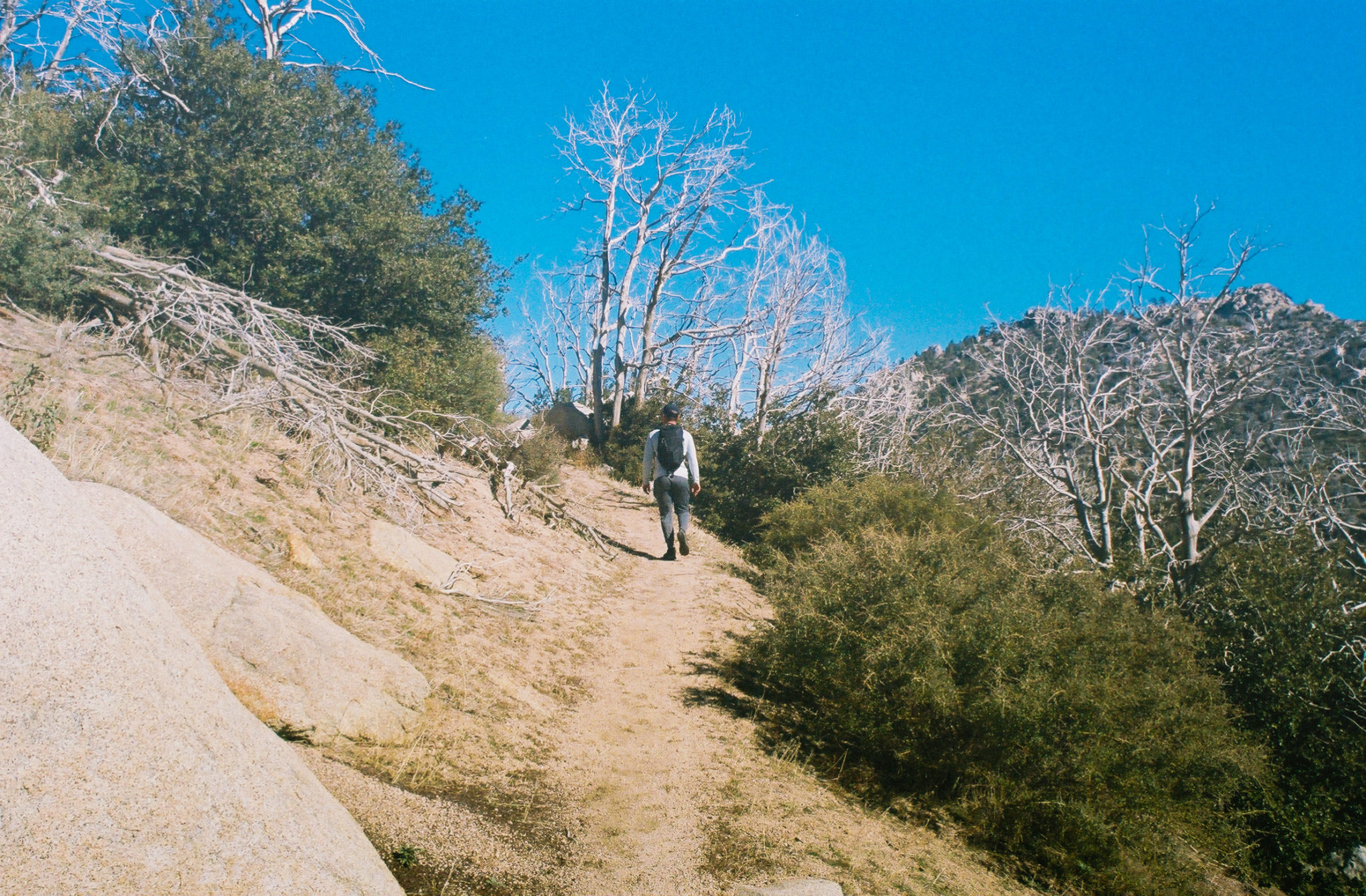
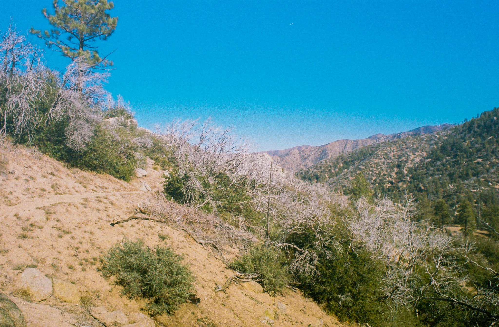
The beginning of this single-track trail is mostly flat and clear of debris, which paired with the crisp mountain air makes for a relaxing start to your hike. On either side of your path, you will immediately notice dead trees and vegetation, remnants of the 2020 Bobcat fire that torched much of the Angeles National Forest. As you continue, the views to your left will open up, exposing the valley below as well as the defunct Camp Valcrest (although efforts are being made to restore this property).

The beginning of this trail is mostly flat and cruisy, making for easy hiking. You will also see the scars of the 2020 Bobcat fire. Shot on Kodak Ultramax 400 35mm film.

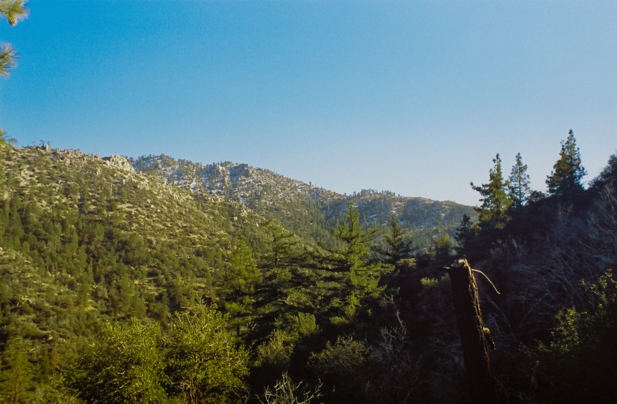
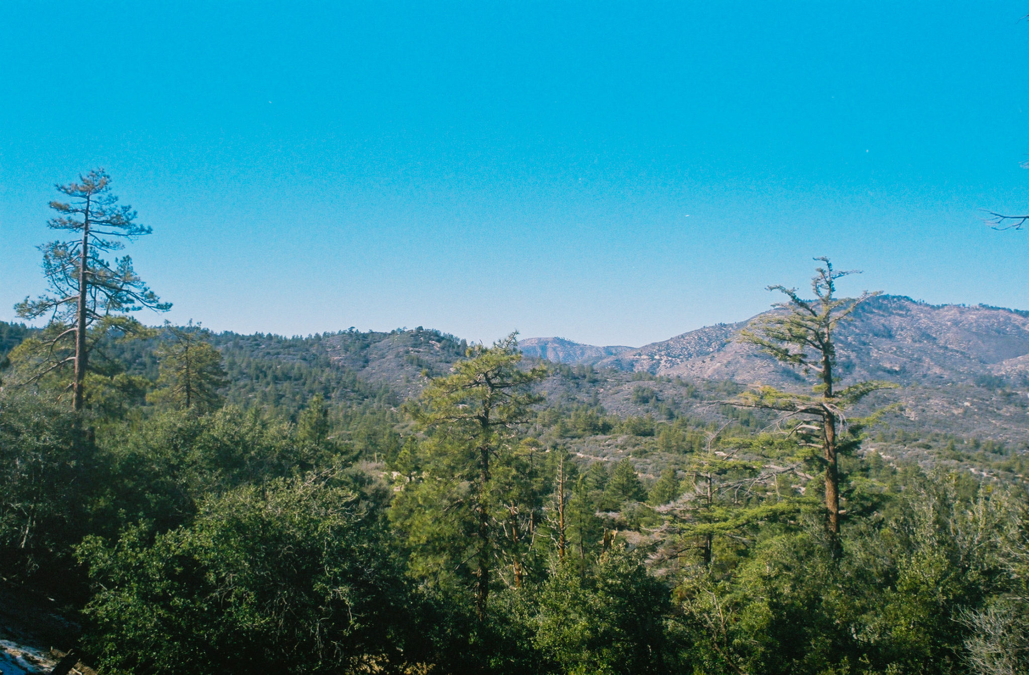
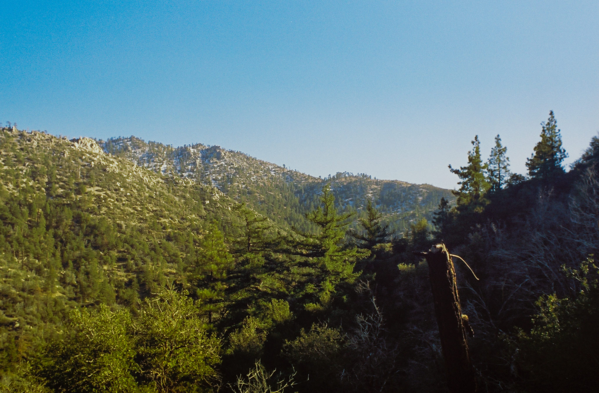
Views of the San Gabriel Mountains. Shot on Kodak Ultramax 400 35mm film.
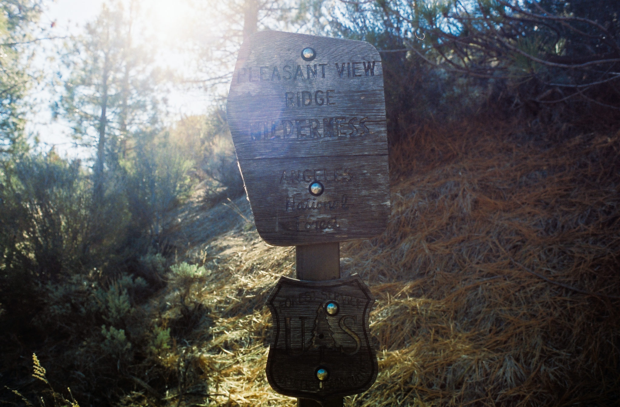
At 0.9 miles, you will see a sign indicating that you’ve entered the Pleasant View Ridge Wilderness. Designated in 2009, this area boasts gorgeous views of the San Gabriel Mountains and the Mojave Desert, although the latter isn’t visible on this hike. This is also where the trail passes through some larger pine trees, giving you alternating sections of exposure and shade.

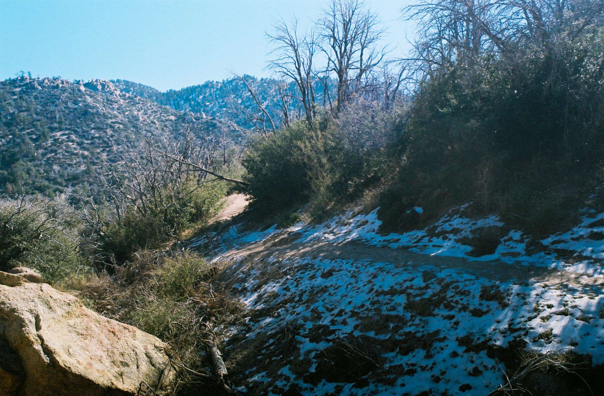
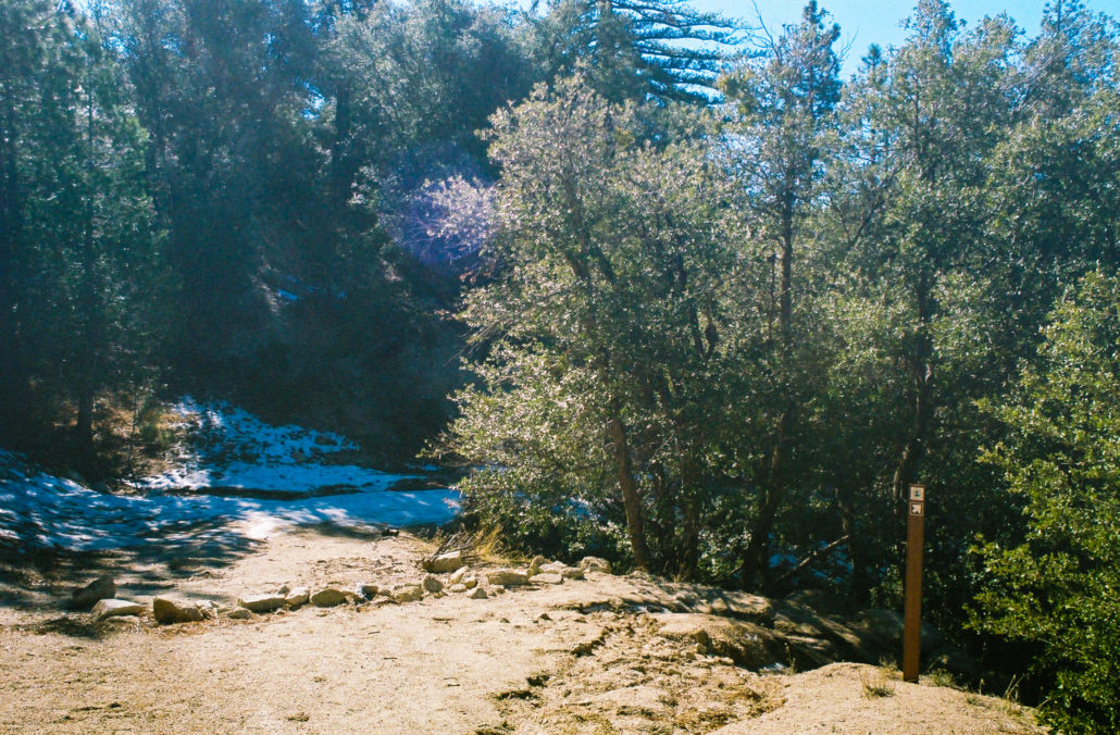
We crossed through the last holdouts of snow from a recent storm. Shot on Kodak Ultramax 400 35mm film.
The shaded sections provide relief from the trail’s hotter, more exposed parts. Shot on Kodak Ultramax 400 35mm film.
At 1.4 miles, you will begin your slow descent to Sulphur Springs Trail Camp. This is a reverse hike, so most of your elevation gain is on the way back to the trailhead.

Snow-covered peaks in the distance. Shot on CineStill 400D 35mm film.
Continue for 0.3 miles until you reach a crossroad. Head straight to take a 0.4-mile offshoot trail to a small lake. Otherwise, turn right to continue along the PCT. We opted to take the detour.
Turn right at the PCT sign to head towards your final destination or head straight to reach a small lake. Shot on Kodak Ultramax 400 35mm film.
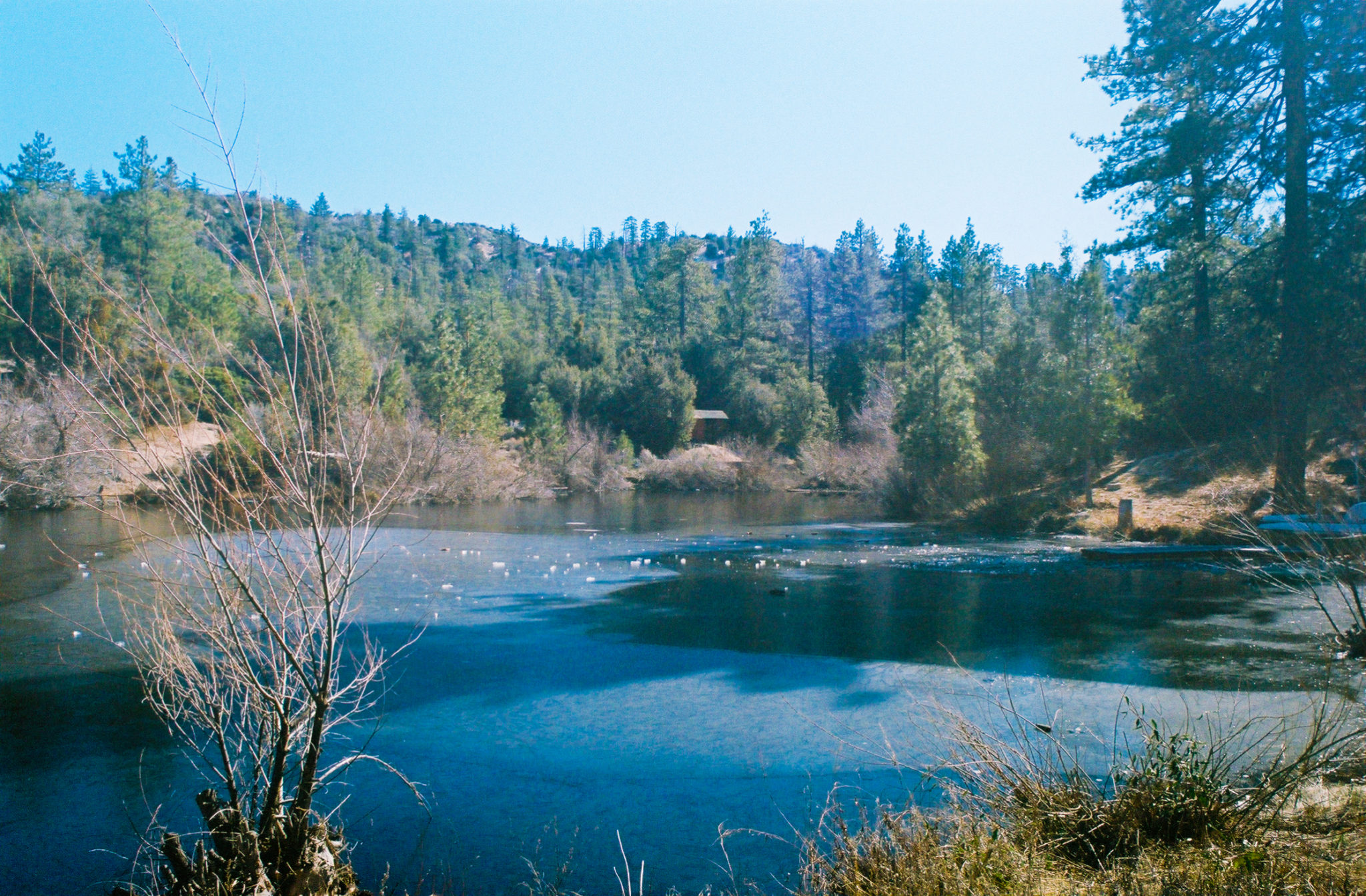
As you hike, the trail widens and transforms from dirt to gravel while buildings from the nearby Angeles Crest Christian Camp come into view. Soon the lake will reveal itself – while it’s not the most impressive body of water, it is still a nice spot to sit and relax. We also noticed canoes and life vests lying around, presumably the property of the camp. After a snack break, we headed back the way we came and rejoined the PCT.
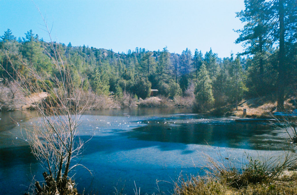
The lake was partially frozen over when we visited. Shot on Kodak Ultramax 400 35mm film.
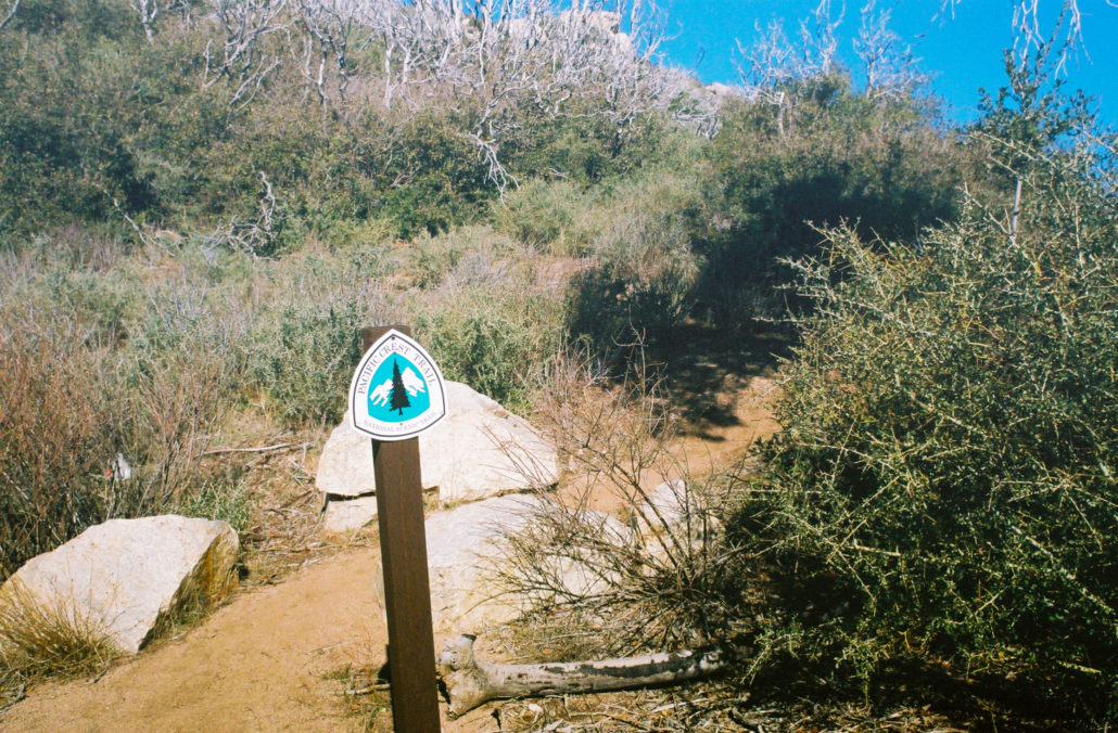
The trail continues to snake its way through the mountains while steadily losing elevation. Like before, you’ll meander through open sections dominated by chaparral as well as forested areas with more consistent pine tree cover. PCT signs also sporadically mark your path, something that I always get a kick out of seeing.
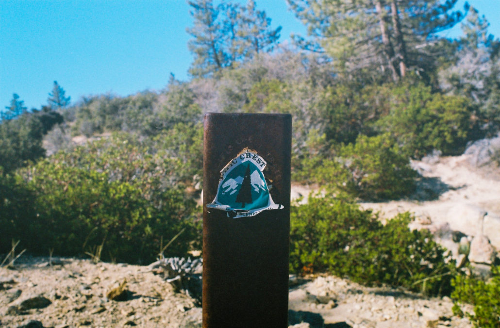
One of the several PCT markers that you’ll encounter on this hike. Shot on Kodak Ultramax 400 35mm film.
At 4 miles, you might encounter a small creek crossing, although during the hotter months it’s likely to have run dry. Then at 4.2 miles, you will approach another junction. Follow the furthest right trail for 0.1 miles, exiting the Pleasant View Ridge Wilderness to reach Sulphur Springs Trail Camp.

Exiting the Pleasant View Wilderness. Shot on CineStill 400D 35mm film.
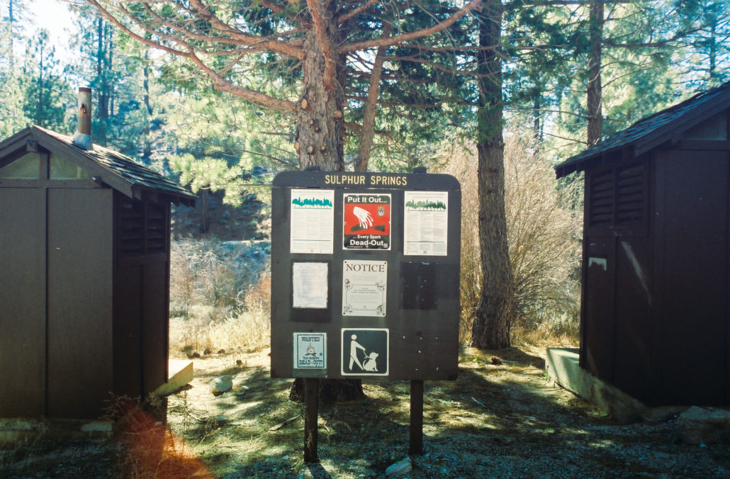
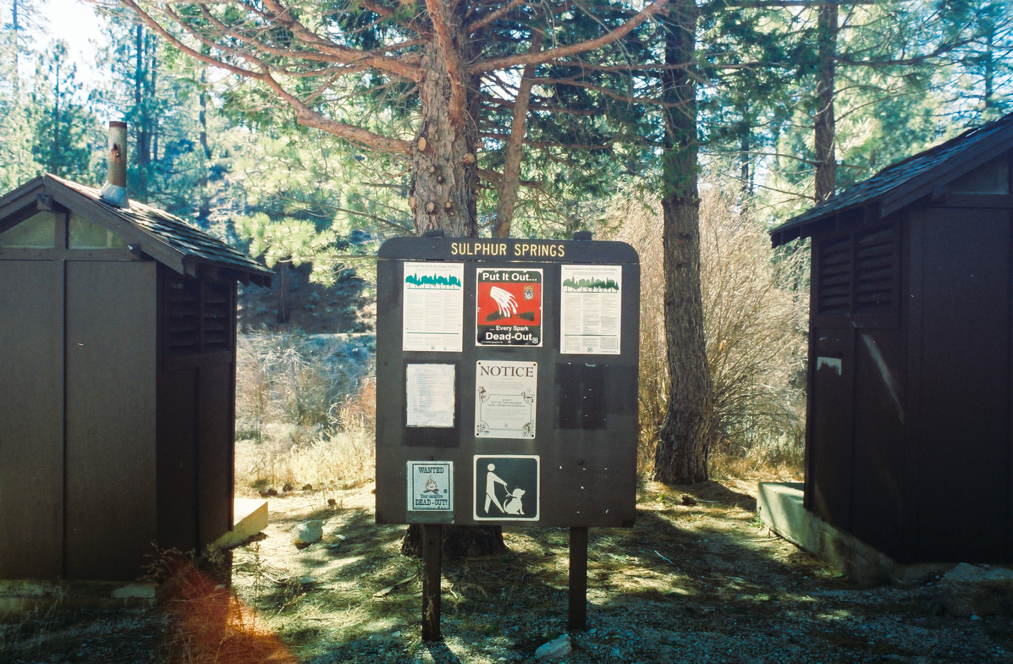
The Sulphur Springs Trail Camp information board. Shot on CineStill 400D 35mm film.
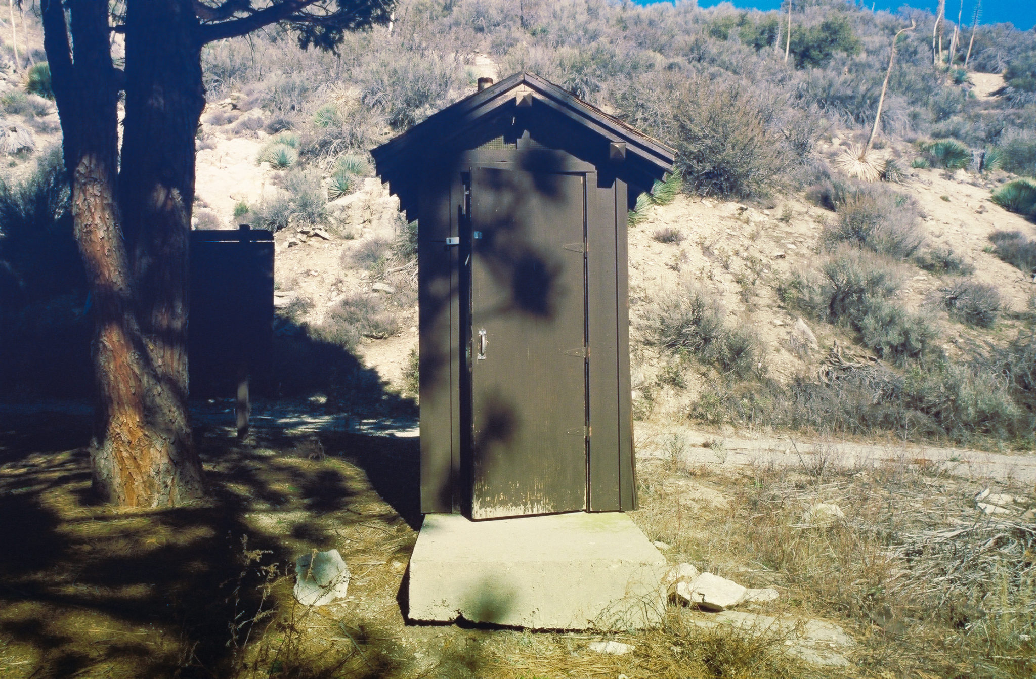
I was impressed with the amenities offered at this campground, which include outhouses, fire rings, picnic tables, and seasonal water via the South Fork of Little Rock Creek. For anyone looking for an easy overnighter while still wanting some of the perks of car camping, this trail is perfect for you. Otherwise, this is a lovely, shaded spot to rest, recharge, and relieve yourself before the 3.5-mile journey back the way you came to reunite with the Three Points Trailhead.
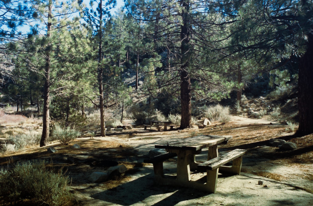
Sulphur Springs Trail Camp has plenty of spaces to rest or camp. Shot on CineStill 400D 35mm film.
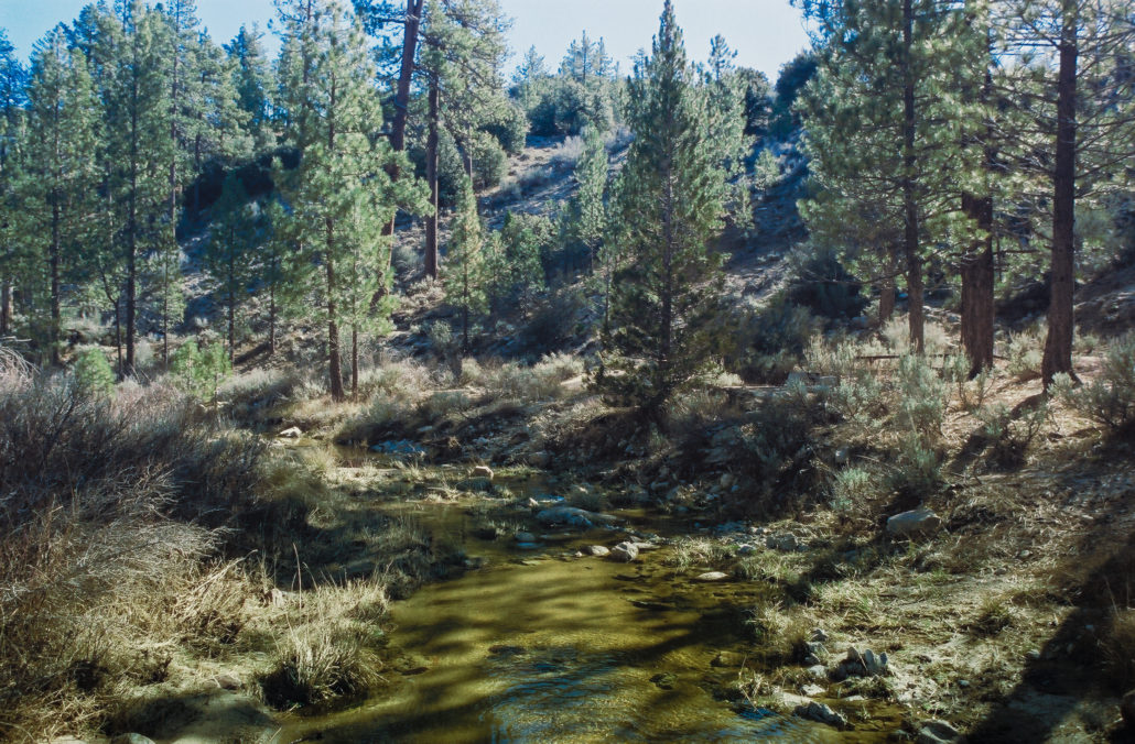
The South Fork Little Rock Creek runs through the middle of this campsite. Shot on CineStill 400D 35mm film
Tags: Angeles National Forest, california, dog-friendly, Hiking, lake, Pacific Crest Trail, Pleasant View Ridge Wilderness, San Gabriel Mountains, san gabriel mountains national monument, water crossing