Thornewood Preserve, quietly tucked between I-280 and Skyline Boulevard in Woodside, packs an historic and botanical wallop in its itty-bitty 1.5-mile trail system. This hike visits all 1.5 miles in the preserve, including Schilling Lake, Dennis Martin Creek, and a second-growth redwood forest. It is a great option for a morning or afternoon walk to clear your head and to see beautiful wildflowers in winter and spring.
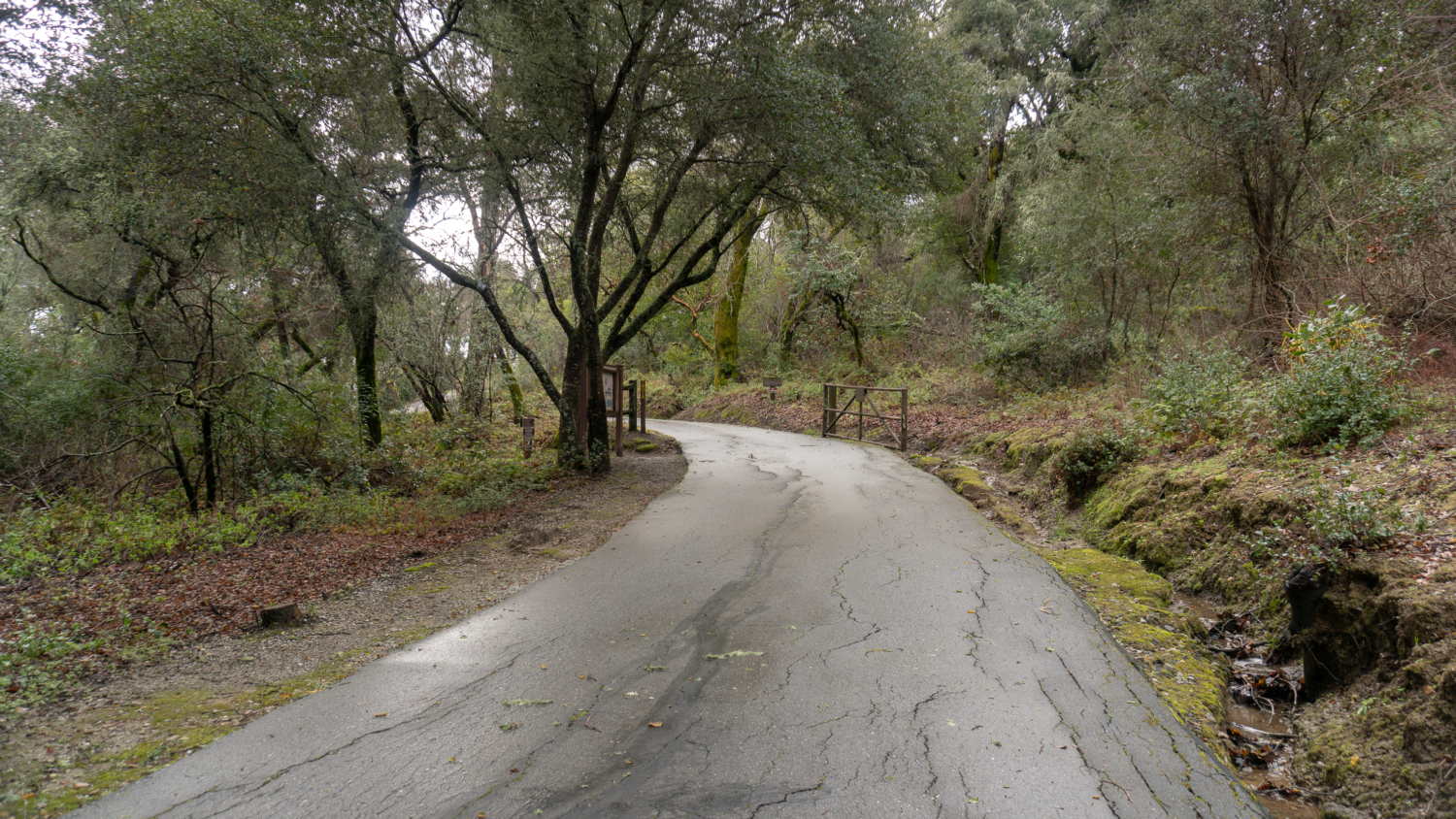
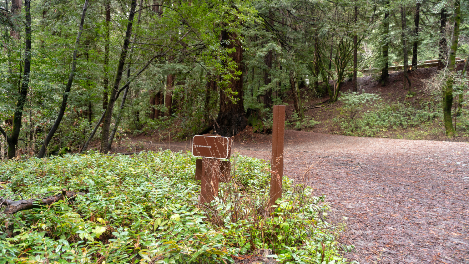
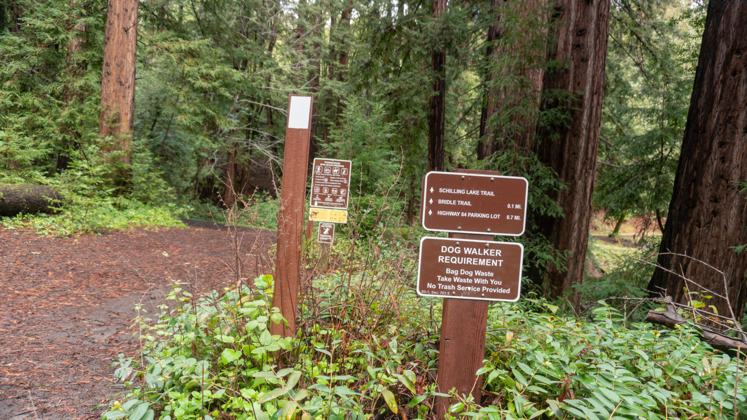
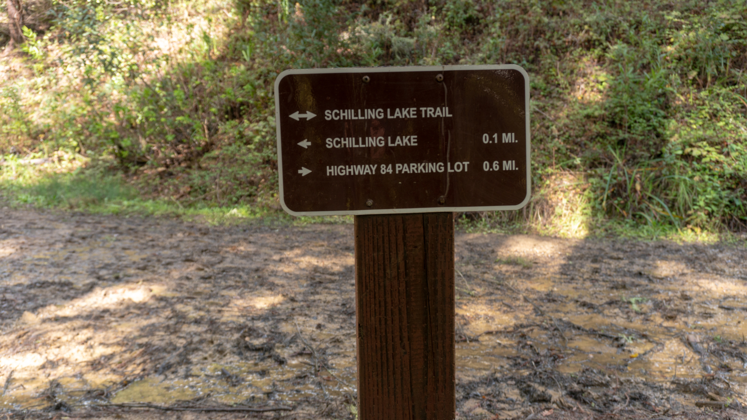
Begin your hike at the Midpeninsula Regional Open Space District kiosk and trailhead, heading south on the Schilling Lake Trail towards Schilling Lake. To your right are a private road and the former Thornewood house, which is currently leased to a private party and undergoing restoration. It is closed to the public at this time, but you can check in with Midpen for updates.
Note that this hiking route is an inverse hike: it loses elevation to the turnaround point at Old La Honda Road and then re-gains it on the way back. If you’d rather do the hike bottom-up, you can start from Old La Honda Road. See Notes below for more info.


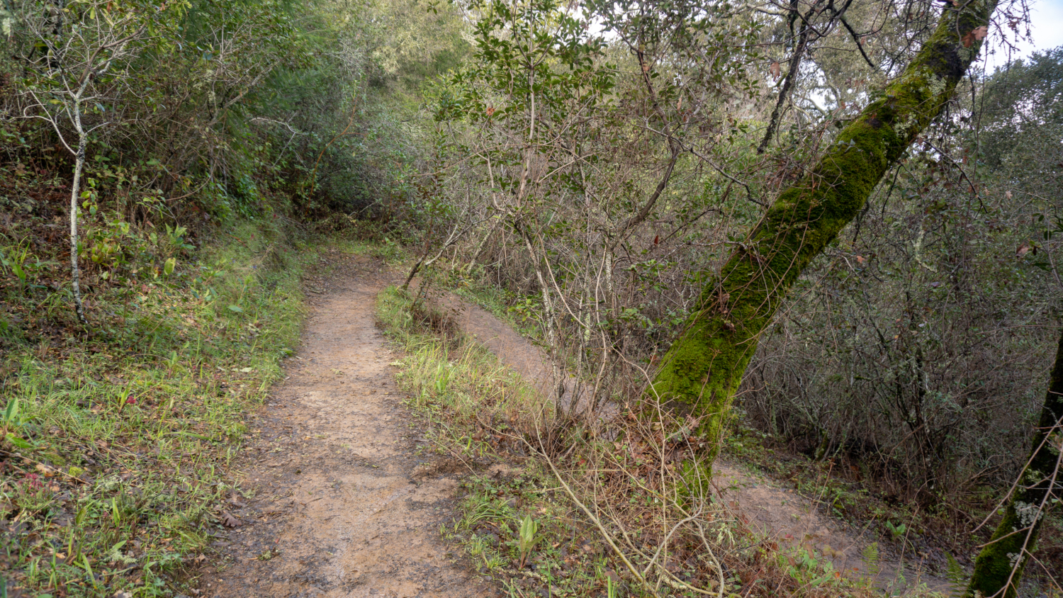
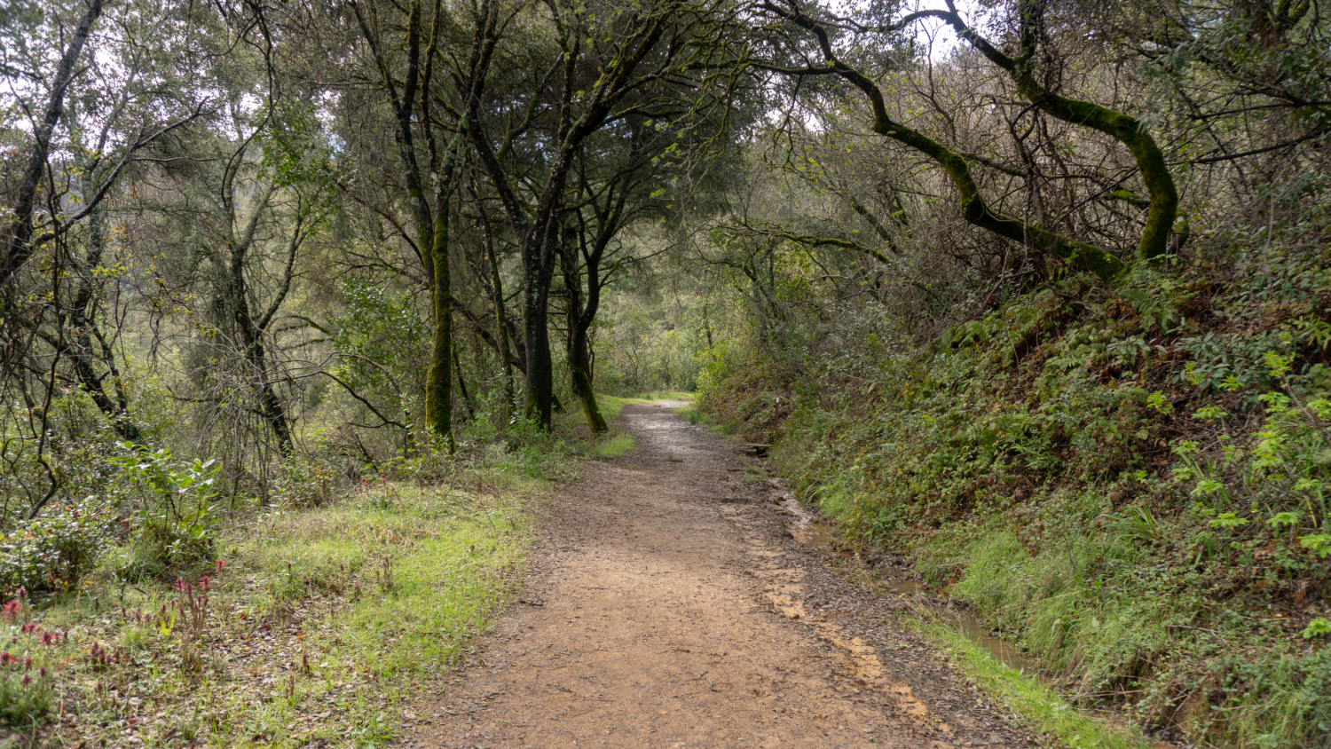
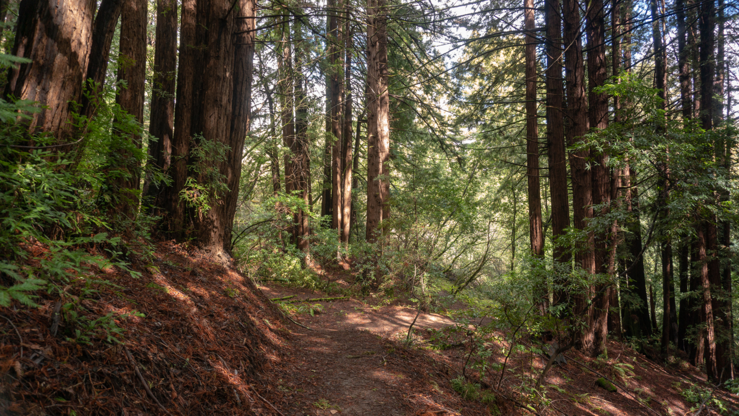
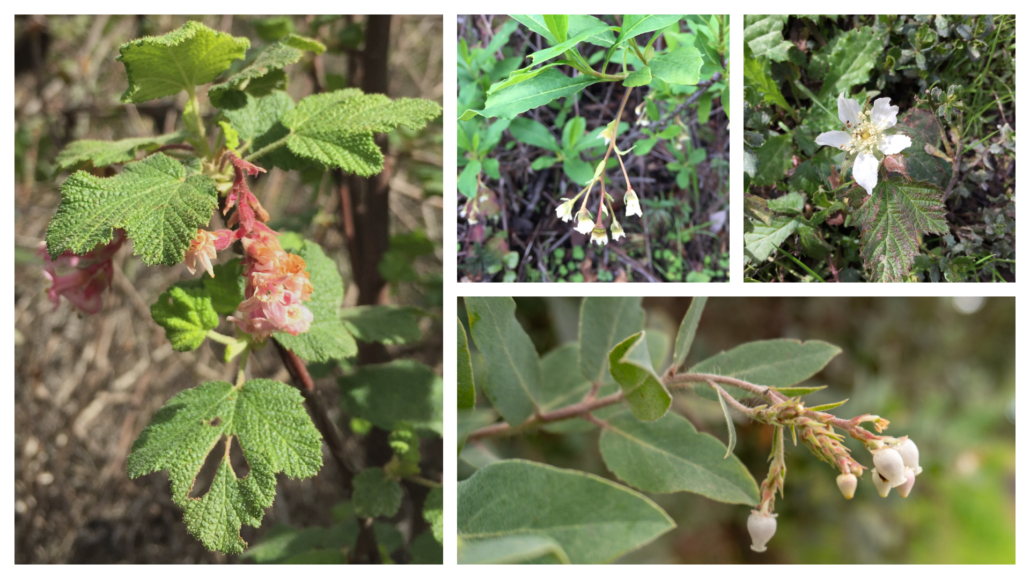
On the Schilling Lake Trail, step into madrone, Douglas fir, and live oak forest. In winter, the toyon’s red berries pop against the greenery, hence its other common name: Christmas berry. Mossy tree trunks sprout along the trail, trickling streams flow beneath the trail through culverts, and Steller’s jays quack-chirp among blackberry, coffeeberry, tangled branches, and partial sky. The wide single-track is fairly level for the first half mile and then descends to Schilling Lake and Dennis Creek.

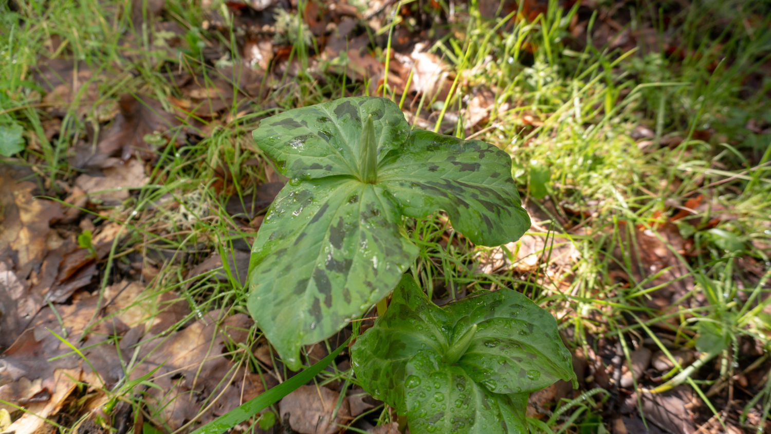
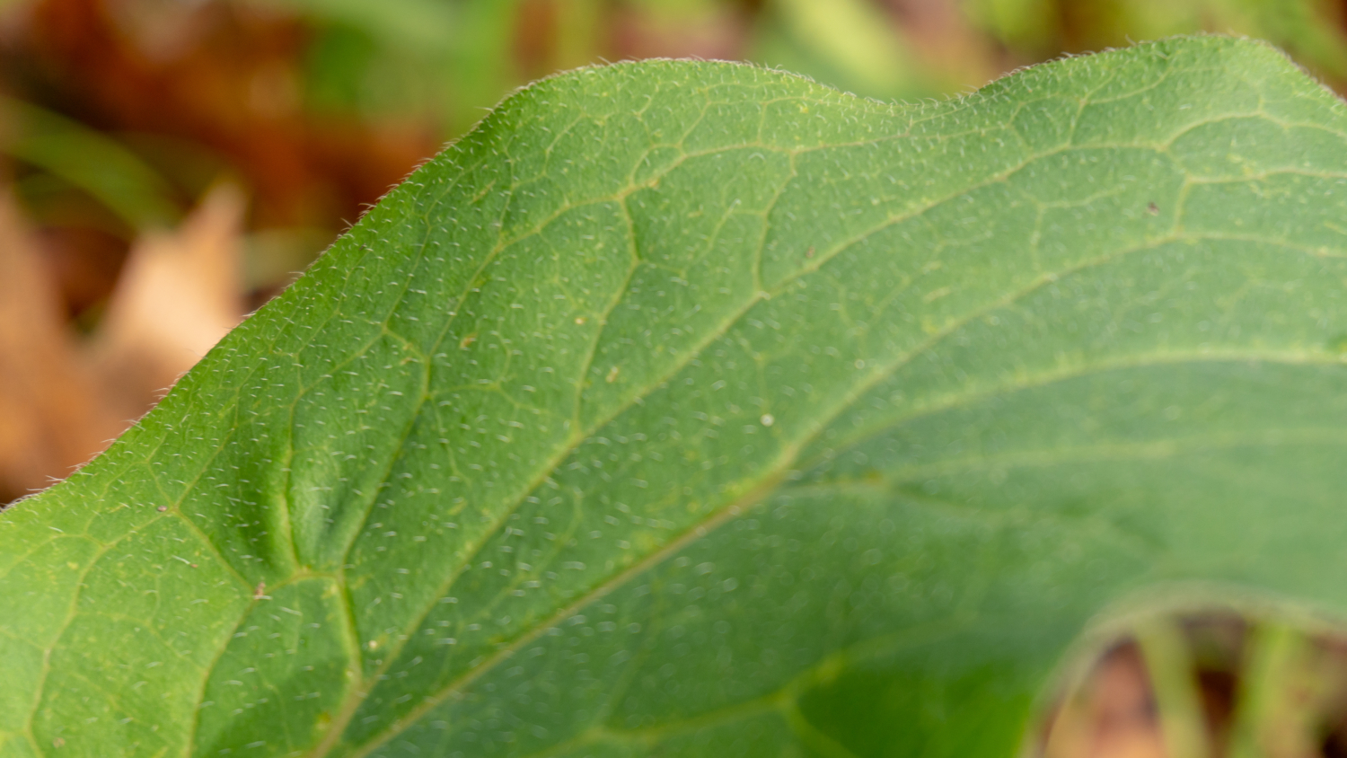
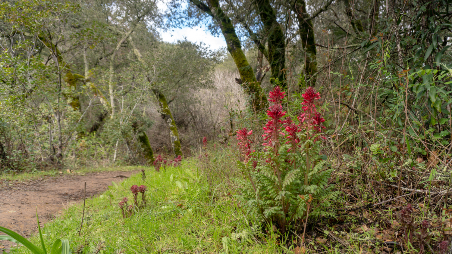
In late winter and spring, the mottled leaves and deep cranberry-colored flowers of giant wake robin (Trillium chloropetalum) bloom. Its genus, Trillium, refers to the plant’s three leaves and three flower petals, and the species chloropetalum is a nod to the hint of green in some of the flowers’s petals. Purple-blue western hound’s tongue (Cynoglossum grande) mixes with dark pink warrior’s plume (Pedicularis densiflora). Gently feel the leaves of the hound’s tongue—the tiny hairs on it make it feel rough like a dog’s tongue.

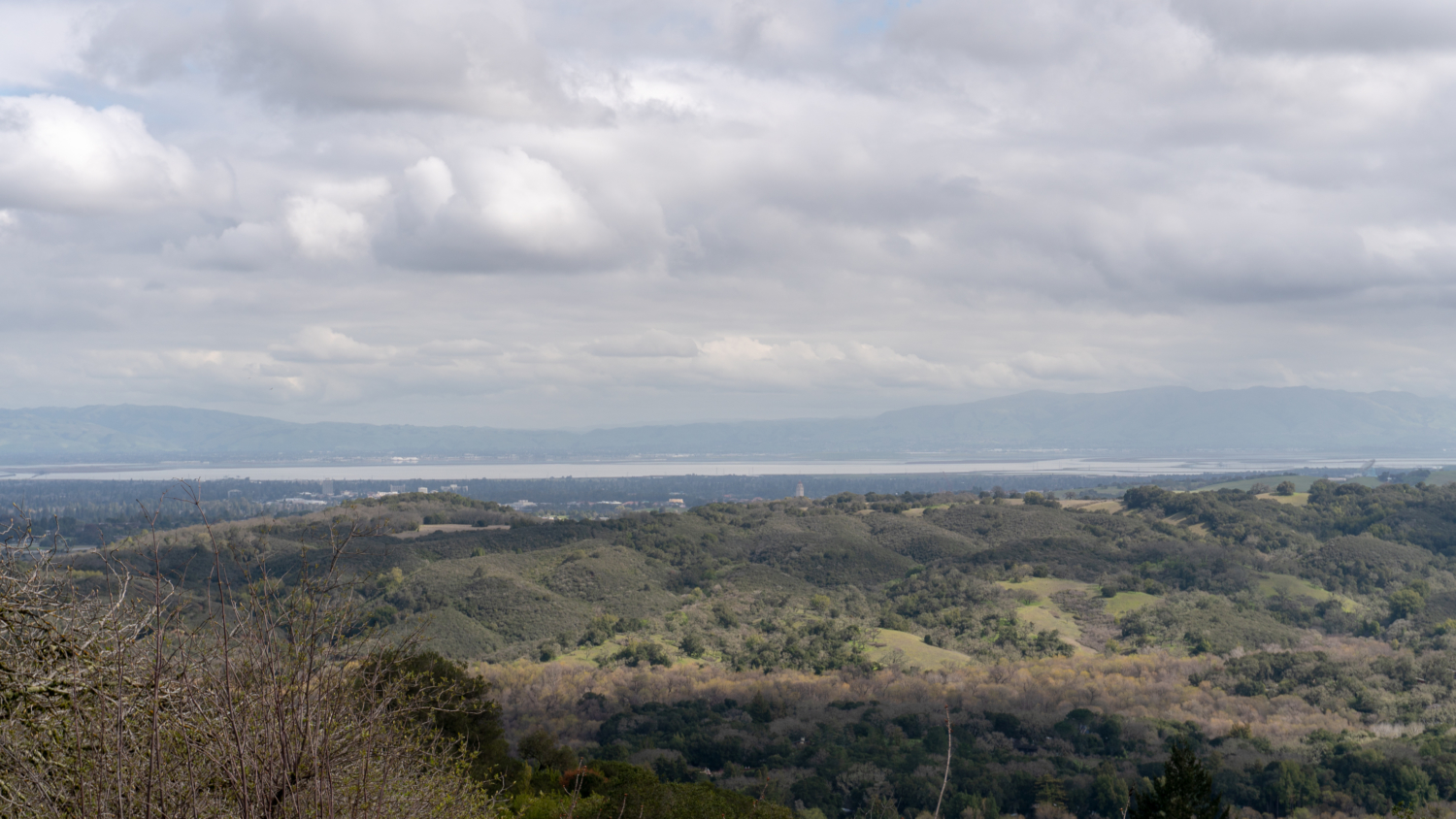
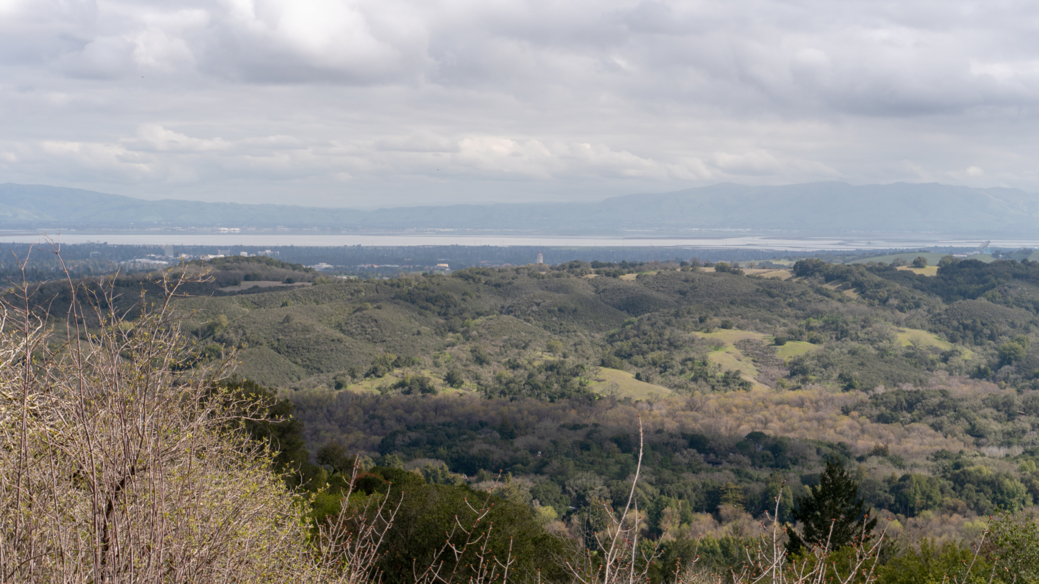
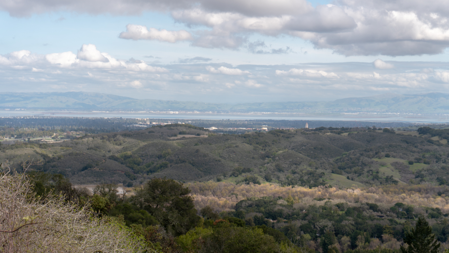
In a quarter mile, the partial tree cover releases into bright, sun-on-your-face hiking. Palmate buckeye and hairy kings mountain manzanita crop up on the woods’ periphery. An opening to the northeast reveals Jasper Ridge, Palo Alto, Stanford’s Hoover Tower, the San Francisco Bay, and Mission Peak. Back on the trail, a lichen-covered wooden bridge crosses one of the many small creeks in the preserve.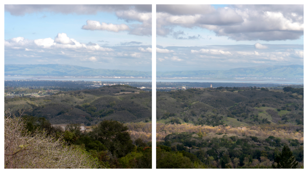
Thornewood Preserve’s 167-acres were once residential estates in the early 1900s. San Francisco couple Julian and Edna Thorne purchased over 600 acres of land here in 1908. They then sold parcels of the land to August Schilling, who had made his fortune in a coffee, tea, spice, and extracts company, A. Schilling & Company. In 1928, the Thornes built a summer home designed by Gardner Daily, who would go on to have a prolific architectural career in the Bay Area, designing buildings in the Stanford and UC Berkeley campuses and in the Filoli and the Phleger estates.

Julian Thorne passed away in 1930 and years later, when Edna passed, she left their land to the Sierra Club Foundation, who in turn donated it to Midpen in 1978. In the years that followed, Midpen acquired part of the Schilling estate and leased 10 acres of the former Thorne estate, including the Thorne’s summer home, to a private party for restoration. For many years, the main trail in the preserve was the Schilling Lake Trail to Schilling Lake. Then in May 2009, Bridle Trail opened along Dennis Martin Creek, officially adding 0.75 miles to the preserve as well as an alternate entry point via Old La Honda Road. The name “Thornewood” is a nod to the Thorne family; Schilling Lake a nod to the Schillings; and Dennis Martin Creek, whose tragic history I will get into below, honors Irish pioneer Dennis Martin who built sawmills along the creek to harvest redwoods.

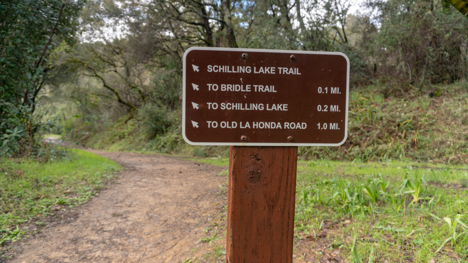
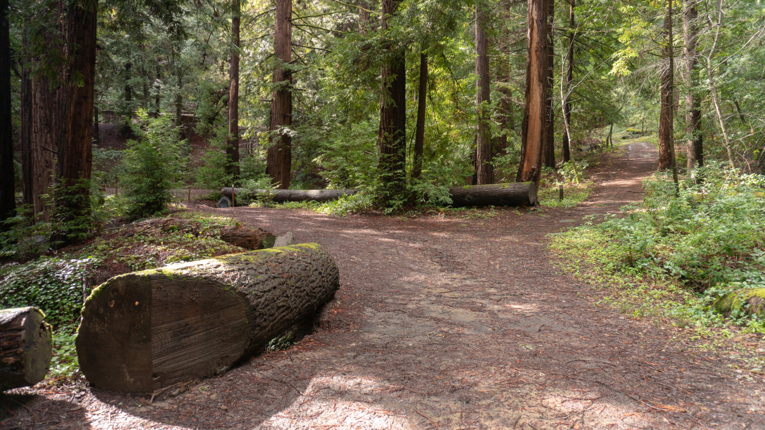
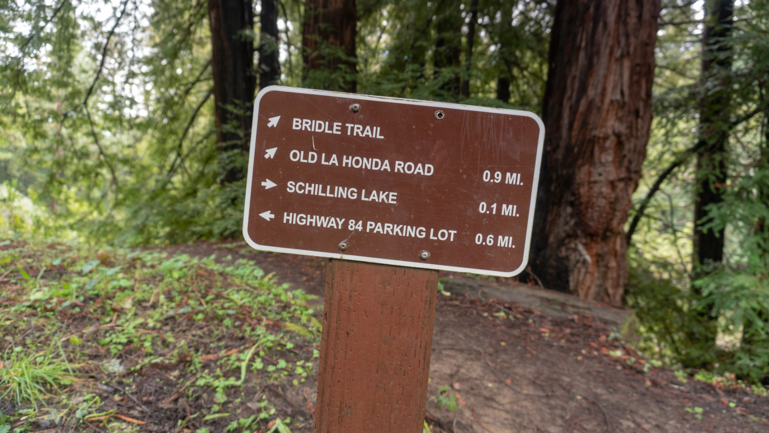
At 0.5 miles, merge onto a wide dirt road towards Schilling Lake. The sloping hillsides burst with coast wood fern, goldback ferns, and wood rose. Pass Bridle Trail on your left, staying straight towards Schilling Lake. We will come back to Bridle Trail in a moment.
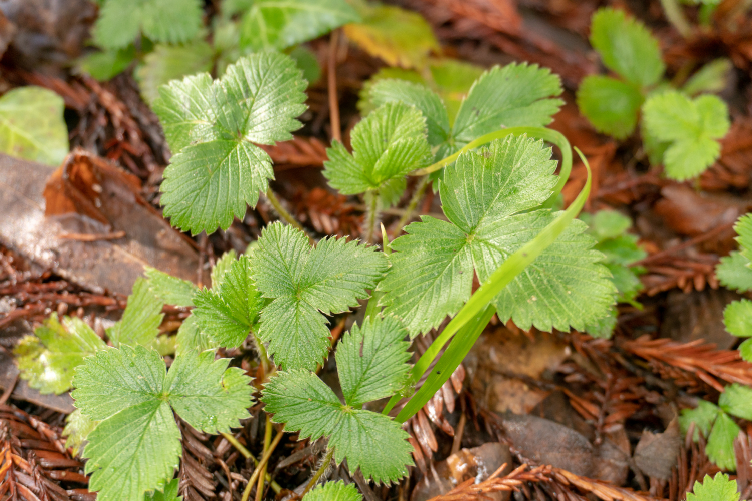
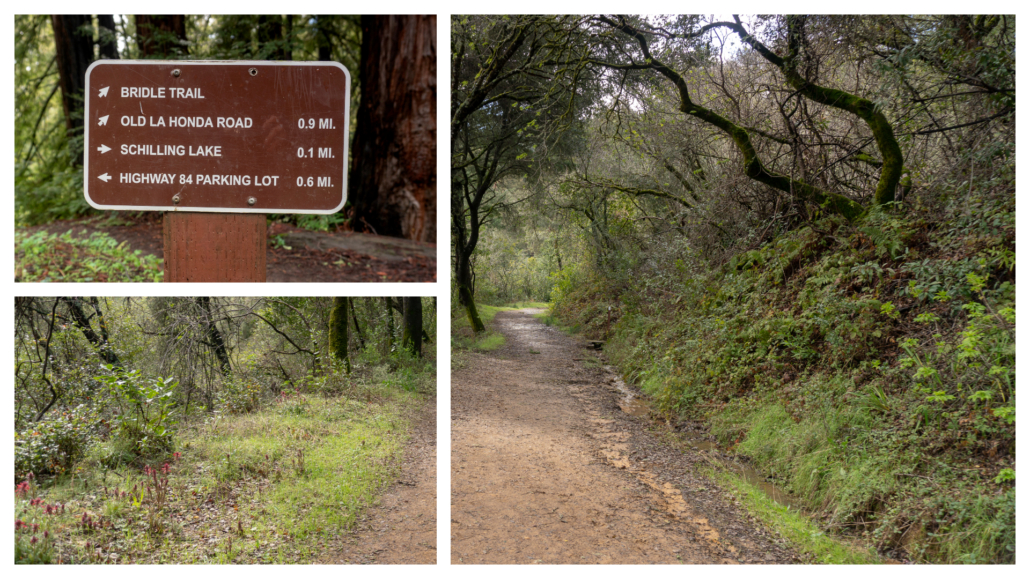 The habitat dramatically transforms into a redwood forest here, with wild strawberries and dainty milkmaids lining the understory. The trail curves in a U-shape past residential driveways and preserve signs to Schilling Lake. Although you may see herons and ducks, the “lake” is more like a marshy pond.

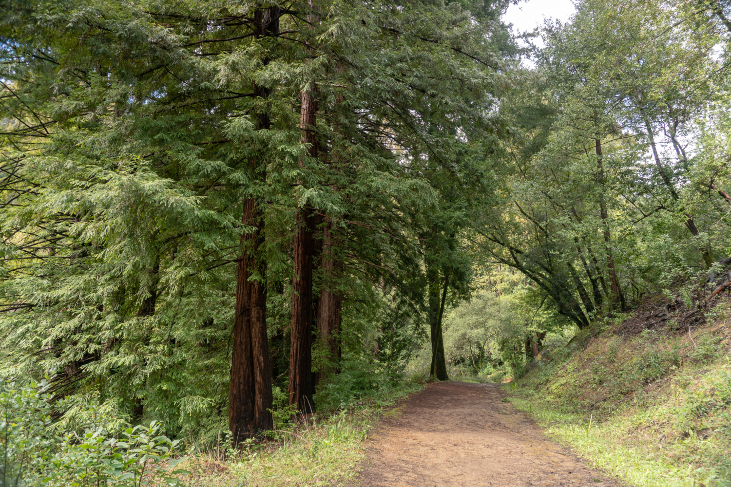
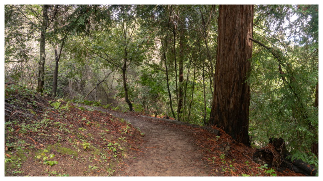
Retrace your steps to Bridle Trail and turn right, zigzagging east and losing 400 feet over the next 0.7 miles. Second-growth redwoods stretch above a shady forest floor of ferns, California bay, and shrubs: new growth in a ravine that was once logged in Dennis Martin’s lumber enterprise in the 1850s. It is possible the concrete remains you see next to the trail are the remains from his sawmill operation, or perhaps August Schilling’s estate.
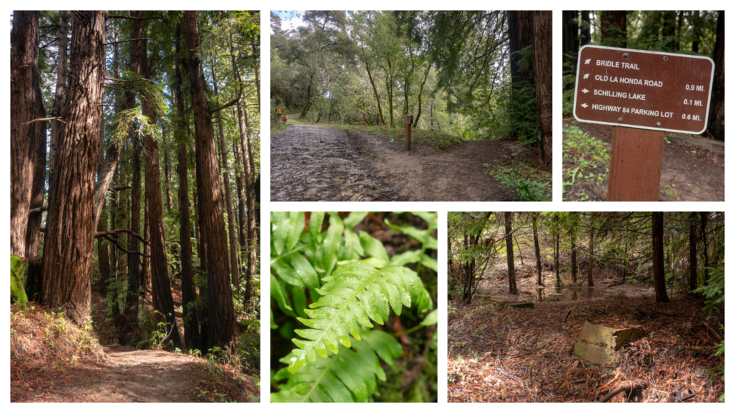
Dennis Martin was an Irish immigrant and California pioneer. He was part of the Stephens-Townsend-Murphy Party that forged the wagon route west over the Sierra Nevada in the winter of 1844-1845, two years before the tragic Donner Party of 1846. In February 1845, Martin snowshoed 21 miles to rescue Moses Schallenberger, a young man who had stayed behind to watch over surplus wagons while the party attempted to cross Donner Pass. Martin found Schallenberger, fashioned snowshoes for him, and they made it out alive together. The Donner Party used the Schallenberger cabin two years later, and today, there is a monument commemorating it at Donner Memorial State Park.
After landing in California, Martin purchased ranch land in 1846 and then built a lumber business with two sawmills along present-day Dennis Martin Creek in the 1850s. In the ravine that Bridle Trail now traces, he harnessed present-day Schilling Lake to steam power the upper sawmill. Although he was a prominent employer in his time, Martin died a poor man, losing his ranch land in 1856 to the Arguello family when a federal surveyor drew the official boundary of Rancho de las Pulgas to include his ranch, which, up until then, he had assumed was within the Rancho Cañada de Raymundo boundary. After more financial setbacks, he ended up working as a gardener in Potrero Hill, San Francisco until his death in 1890 from the flu. For more about Martin’s life, check out Bo Crane’s book, The Life and Times of Dennis Martin and Sawmills in the Redwoods by Frank M. Stanger.

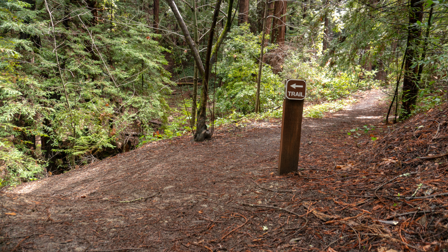
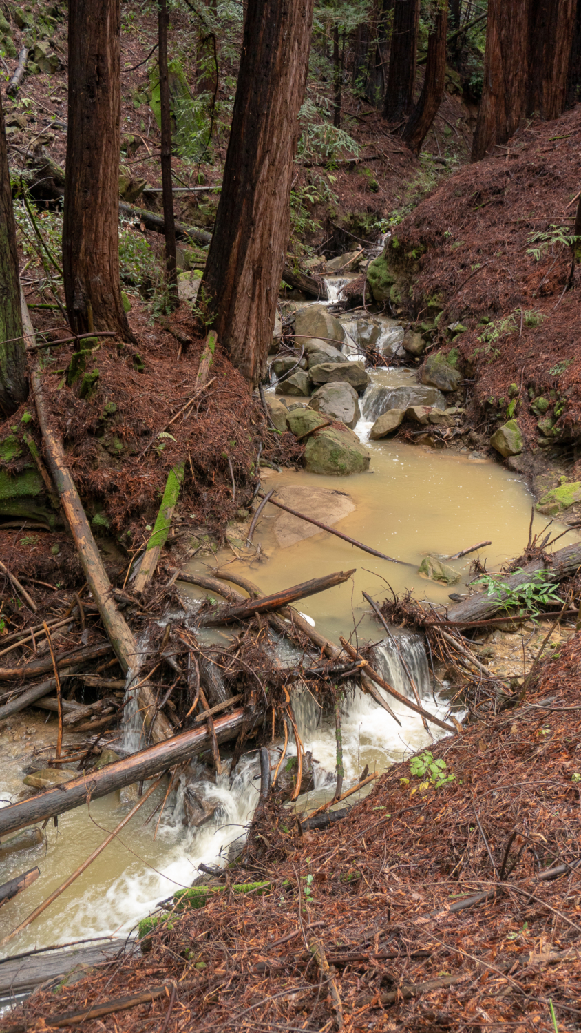
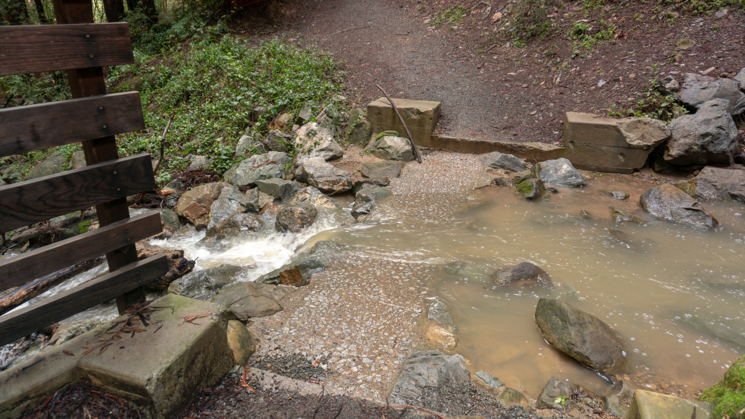
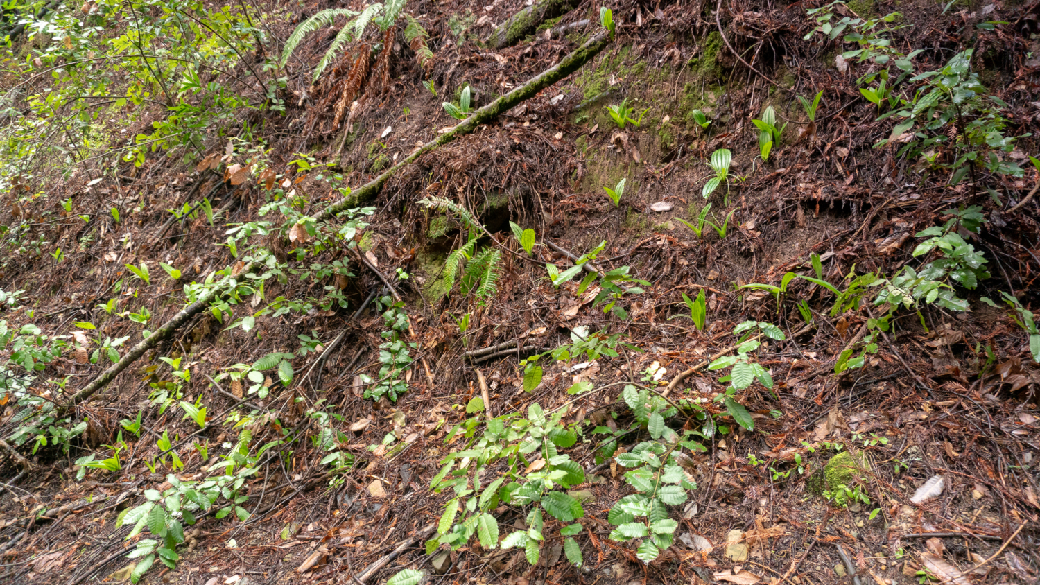
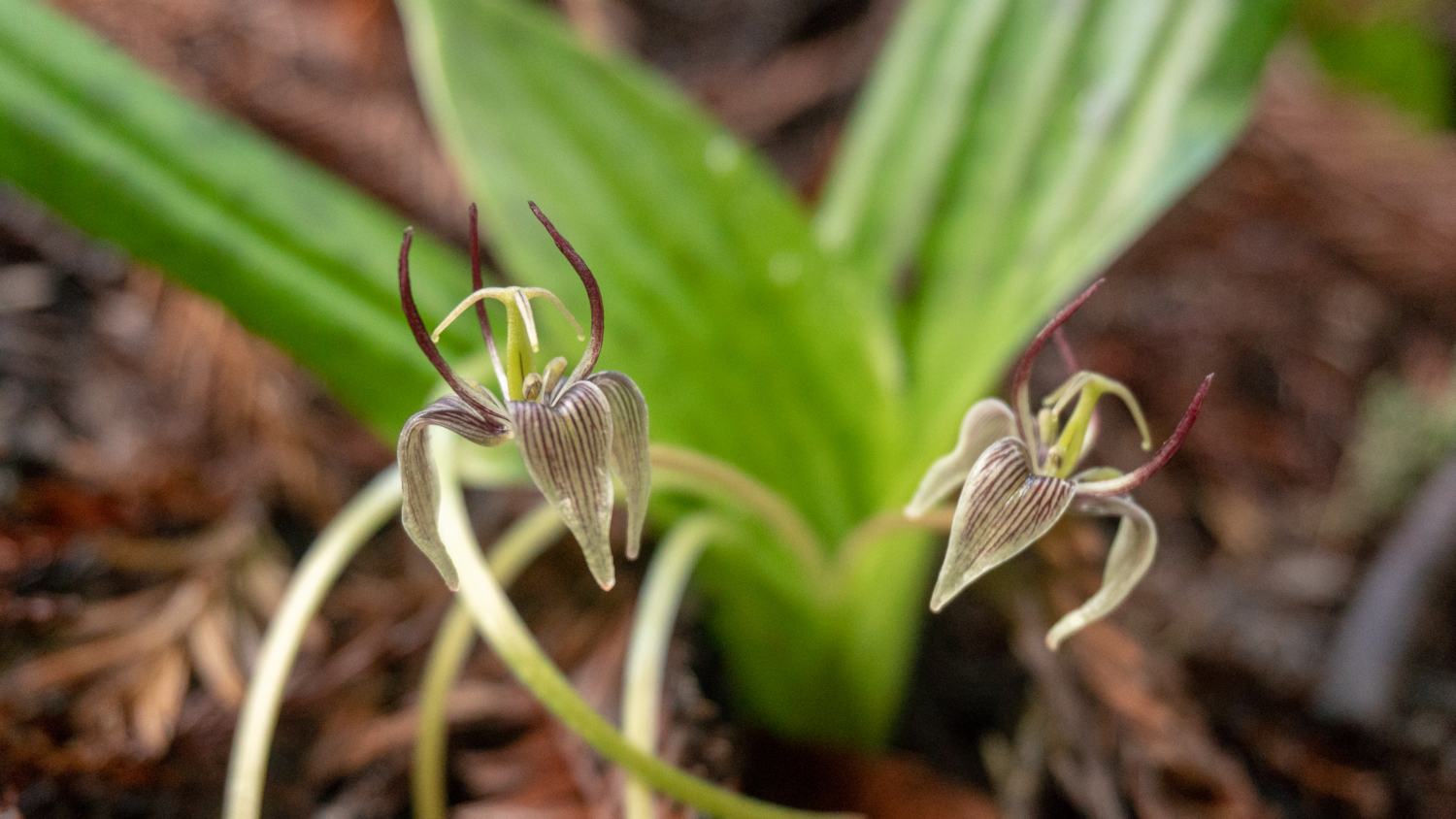
At 1.5 miles, a Trail sign points the way to continue on Bridle Trail next to Dennis Martin Creek. Here the creek parallels the trail with photogenic cascades. After crossing the creek next to a wooden barrier, keep a sharp eye out on your right for fetid adder’s tongue (Scoliopus bigelovii), a tiny flower with purple and white striped sepals and dark, fishing hook-like purple petals. If you lean in very close, being careful not to crush the flower, you can get a whiff of its cloudy, off-putting smell that’s used to attract the fungus gnats that help pollinate it. It is one of the year’s earliest flowers and typically blooms in February.

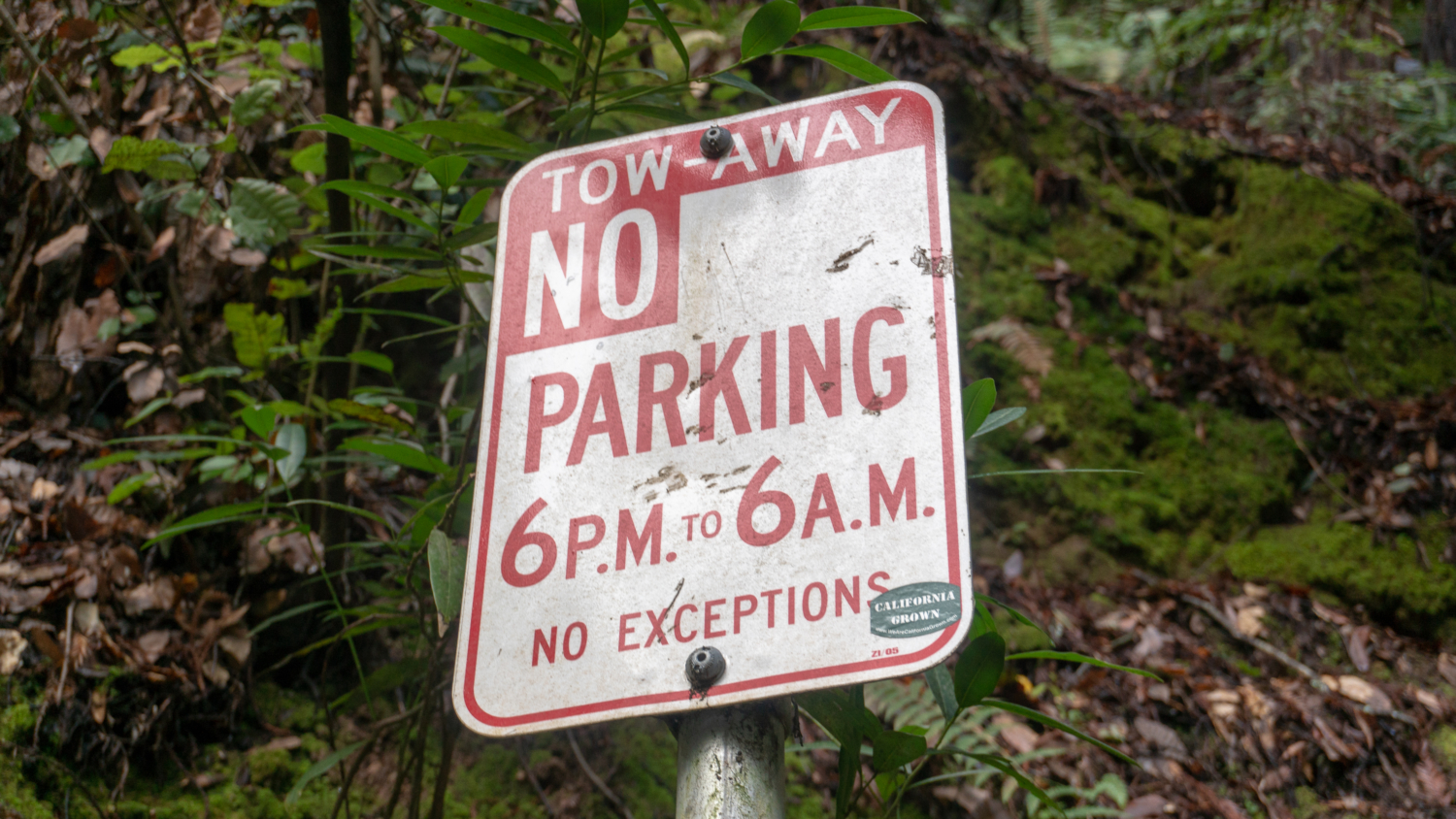
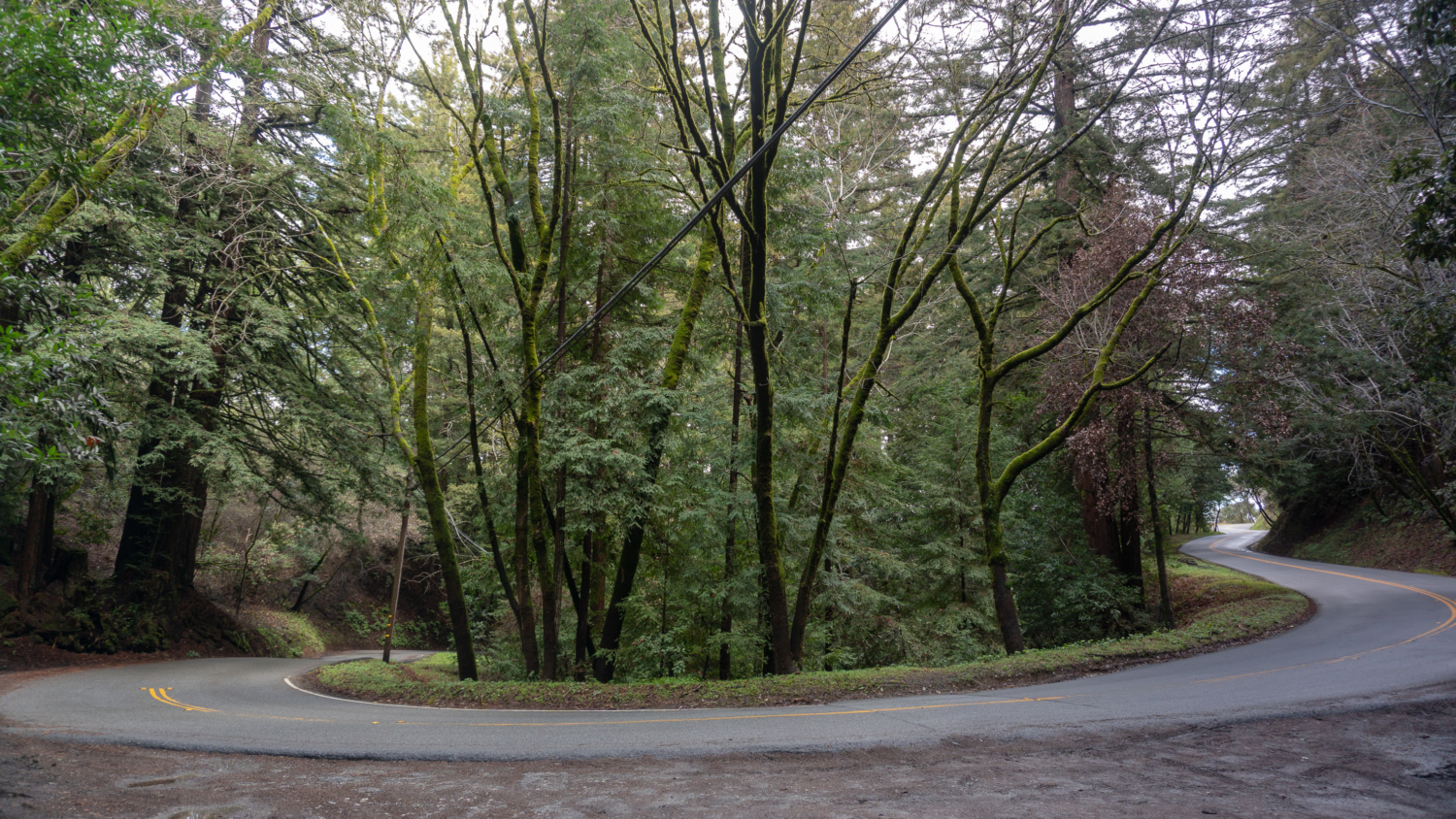
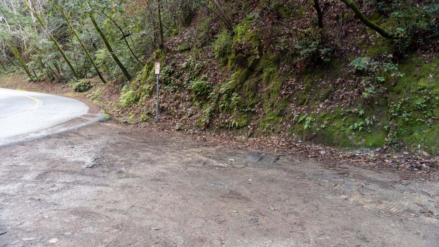
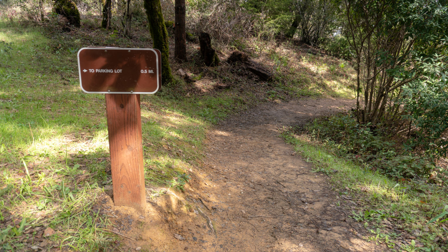
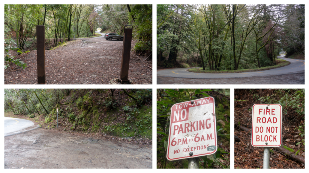
Reach your turn-around point at Old La Honda Road and the alternate trailhead. You can see there is a wide dirt area that a few cars can squeeze into, as well as parking signs. Next to the road is a sign for Dennis Martin Creek, too. Now it is time to climb back up! Retrace your steps west on Bridle Trail and then north on the Schilling Lake Trail towards the Highway 84 parking lot at 3.0 miles. Look carefully along the trail as you hike back. I bet you’ll spot more plants and flowers in addition to the ones you saw on your way in. I sure did 🙂
Notes:
- Park hours are sunrise to one half hour after sunset. Parking is free.
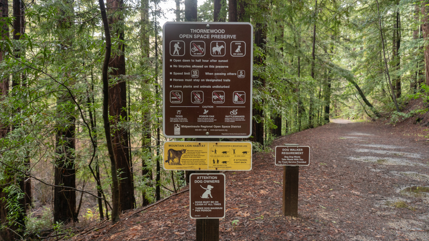
- The preserve is open to equestrians and leashed dogs. There are no trash cans, so please be prepared to pack out your dog’s poop bags.
- Mountain bikes are not allowed in Thornewood Preserve.
- Free trail maps are available here and at the trailhead kiosks.
- There are no restrooms nor water fountains at Thornewood.
- Alternative parking is available on Old La Honda Road here. There are just a few parking spots off the shoulder, but it is an option if you would rather hike the trail bottom to top versus top to bottom. Be sure to follow the parking signs.
Tags: bay area, california, Hiking, peninsula, san francisco, wildflowers, woodside


