You walk through a river for a long, long, long time.
There. That’s our Narrows write-up.
JUST KIDDING. Here it is, folks. One of the most popular hiking routes in one of the most popular parks in the United States of America. This all-day excursion follows the Virgin River, mostly within the river itself, through a stretch of Zion Canyon that is mere meters across. The scenic beauty is so intense and so unrelenting that it’s very possible you will slog your way out of this one with a case of scenery fatigue. It’s almost too much. That said, this is a hike that you will not soon forget, and even with every third person visiting the park on a given day hiking the Narrows at the exact same time, this is a wilderness experience of the first order.

Preparation for Hiking the Narrows
This is a major hiking excursion that requires a decent amount of preparation and a lot of situational awareness. Expect this hike to take all day, and don’t expect to go much faster than 1 mile-per-hour. In fact, try not to go much faster, since how often will you ever get to do something like this? But with a hike this unusual and unorthodox, there are some particular concerns you need to prepare for. Before I tell you how to hike it (hint: walk up the river, and then turn around), here is what you need to know.
Water Levels in the Narrows
The water level of the Virgin River is a fickle thing. Most of the time, the river is a gentle, placid ribbon of water threading its way peacefully through corridors of cottonwoods and red sandstone. However, a gentle river could not have possibly carved out Zion Canyon, so your first task is to respect its Jekyll & Hyde nature.
A number of different factors can lead to a sudden and catastrophic rise in river level, including snow melt and flash-flooding. Snowmelt is most common during winter and spring, and therefore those seasons are not great times to hike the Narrows. Snowmelt from the Zion highlands swells the river, making it too deep and swift to walk through safely. The water also gets really cold during those seasons, but I’ll get to that shortly.
During the summertime, the big threat is flash-flooding from thunderstorms. The Virgin River collects water from hundreds of tributaries upstream that drain a huge amount of land. A summer thunderstorm over any one of those drainages, no matter how far away the storm might be, can cause the water to rise from gentle levels to fatal levels in a matter of seconds without even the slightest warning.
Prior to your hike, stop at the visitor center to check the water levels. If the water levels are above 75 cubic feet per-second (cfs), DO NOT HIKE THE NARROWS. Even at 50 cfs, the water can be up to 5 feet deep in some places, so time your hike for days when the water level is below 50 cfs if you can. Also, check at the visitor center about the possibility of flash-flooding. If there’s even a remote chance of flash-flooding, DO NOT HIKE THE NARROWS. I apologize for going bold on you. I know our readers wouldn’t make these mistakes (right?), but people have died because they went into this hike unaware of what can (and does) happen.
Cold & Hypothermia in the Narrows
Even during the summer, this is a cold experience. The water temperature is often in the 50s (Fahrenheit). That may not sound too painful for short periods, but for 6-7 hours, it can potentially lead to hypothermia. Additionally, the canyon walls rise up for over 1,000 feet above you in some sections, and even during the afternoon there isn’t a lot of sunshine to be found. If it’s 90 degrees in the rest of the canyon, it might be 20 degrees cooler before you even factor in the effects of wading through waist-deep water for several hours.
To counter this, you can rent cold water gear, including insulated water socks, water shoes, water pants, and even wet suits if you’re planning on going really deep into the canyon or just can’t abide the cold. Several outfitters in town rent gear at prices ranging from somewhat acceptable to possibly extortionate (outfitters gotta eat, y’all). This gear may be your best line of defense against potential hypothermia.
You are, of course, free to forgo the extra gear. I did, and because I’m part-polar bear, I was fine. However, I trust that you know your constitution and cold-tolerance better than anybody, so plan accordingly.
If it’s winter or early spring, you may want to skip this hike entirely. The water temperatures may dip below 50 degrees (F), and the ambient air temperature occasionally approaches freezing.
OK, Let’s Hike the Narrows Already
The navigation for this hike is simple. Aside from a short section of paved trail, you spend the 3.5 miles from Riverside Walk to Big Spring mainly walking through the Virgin River. You don’t even need to worry about a GPS unit for this hike, since the canyon walls will make it drunk as a skunk (I had to hand-draw the track we provide since my GPS went completely bonkers trying to find the satellites).
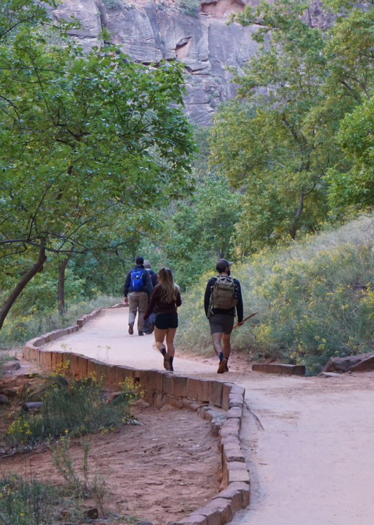
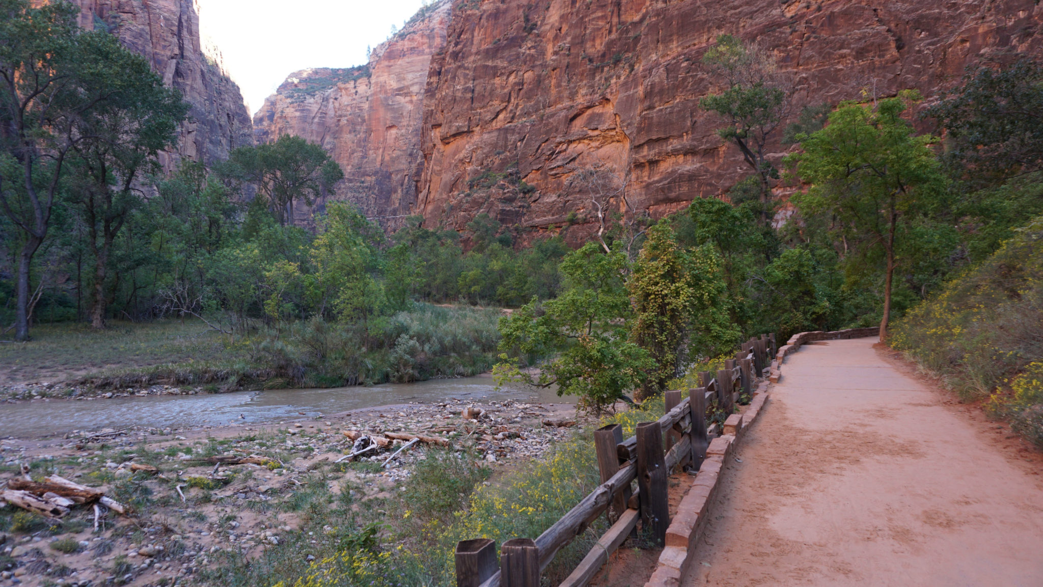
Riverside Walk
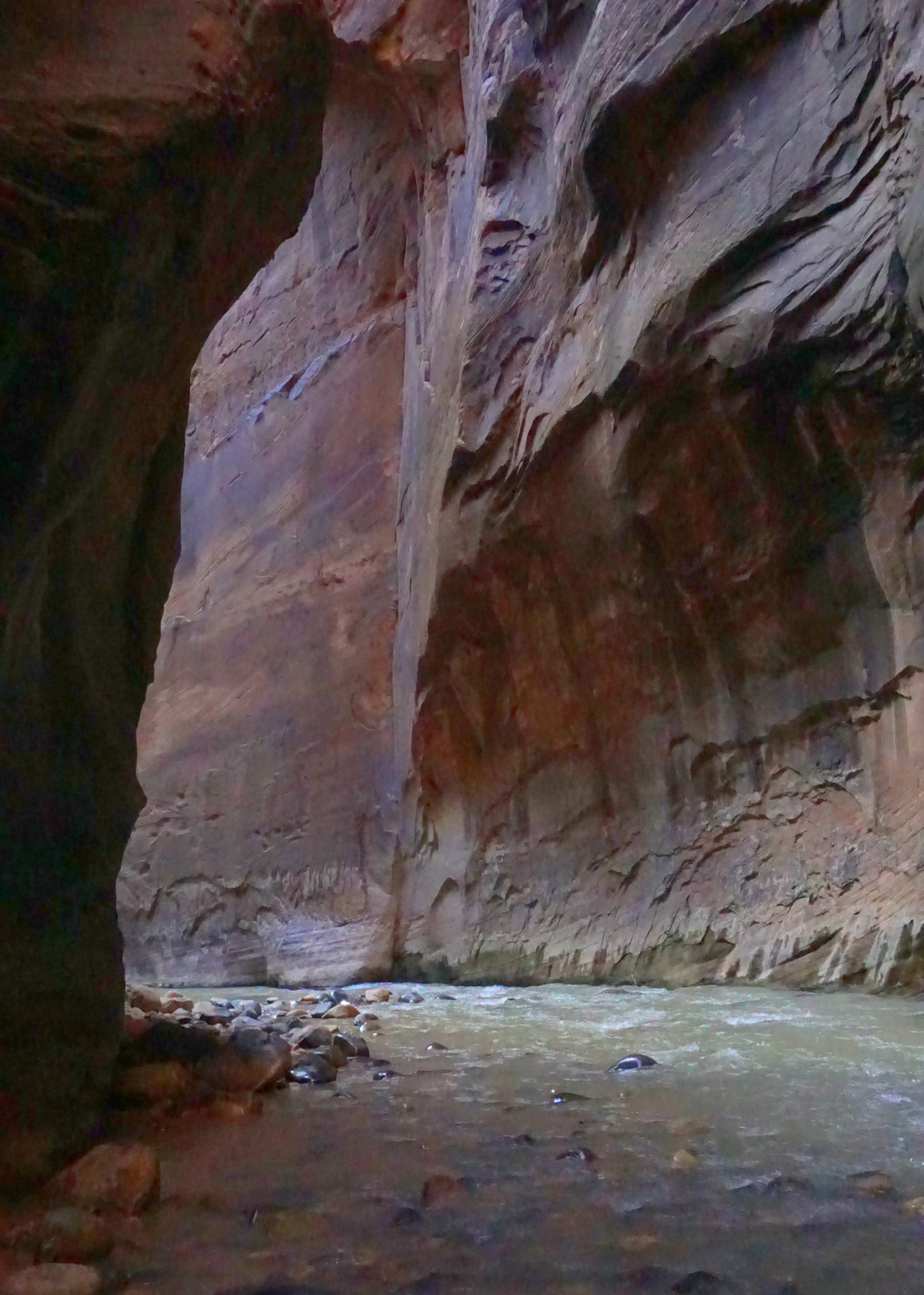
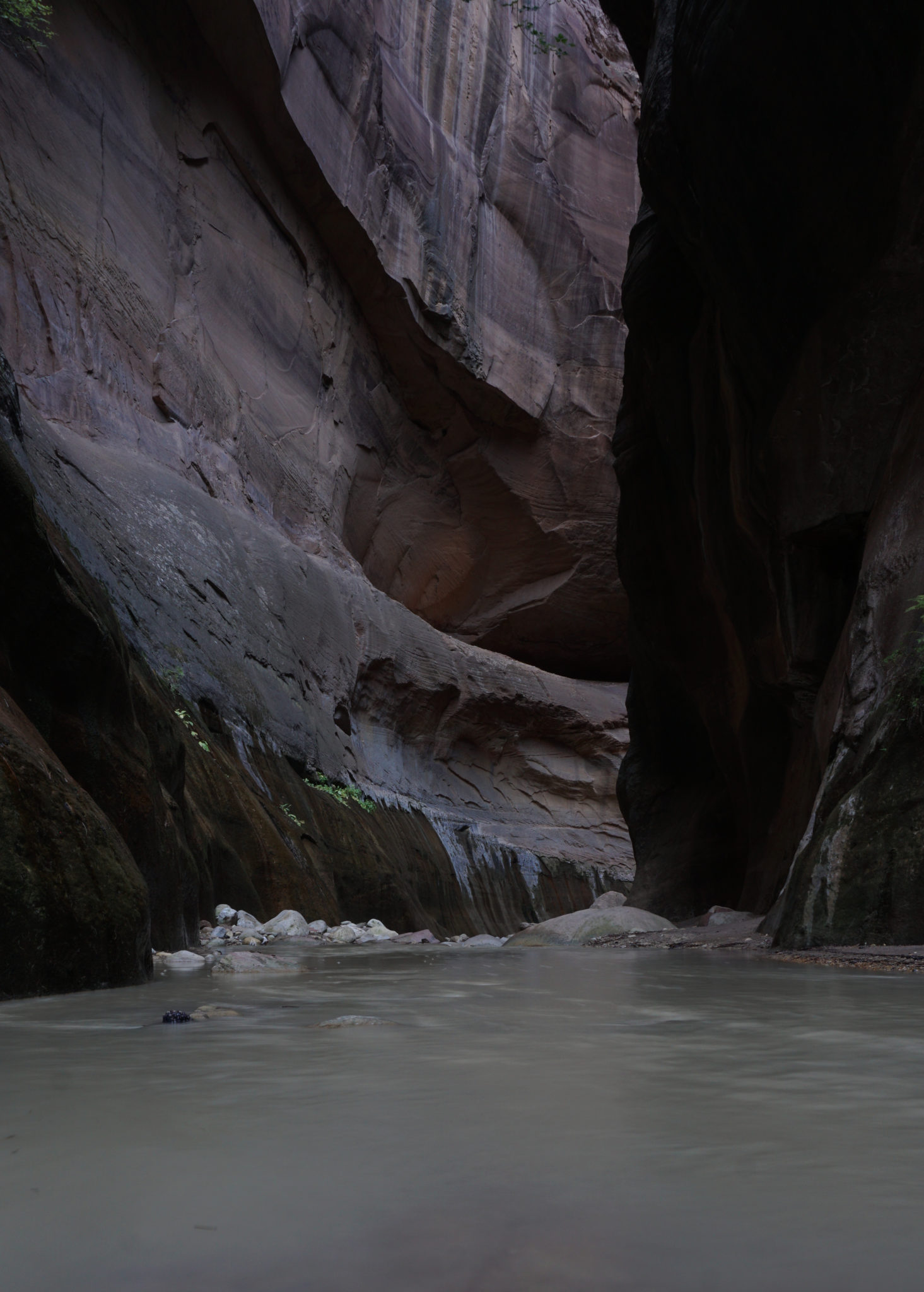
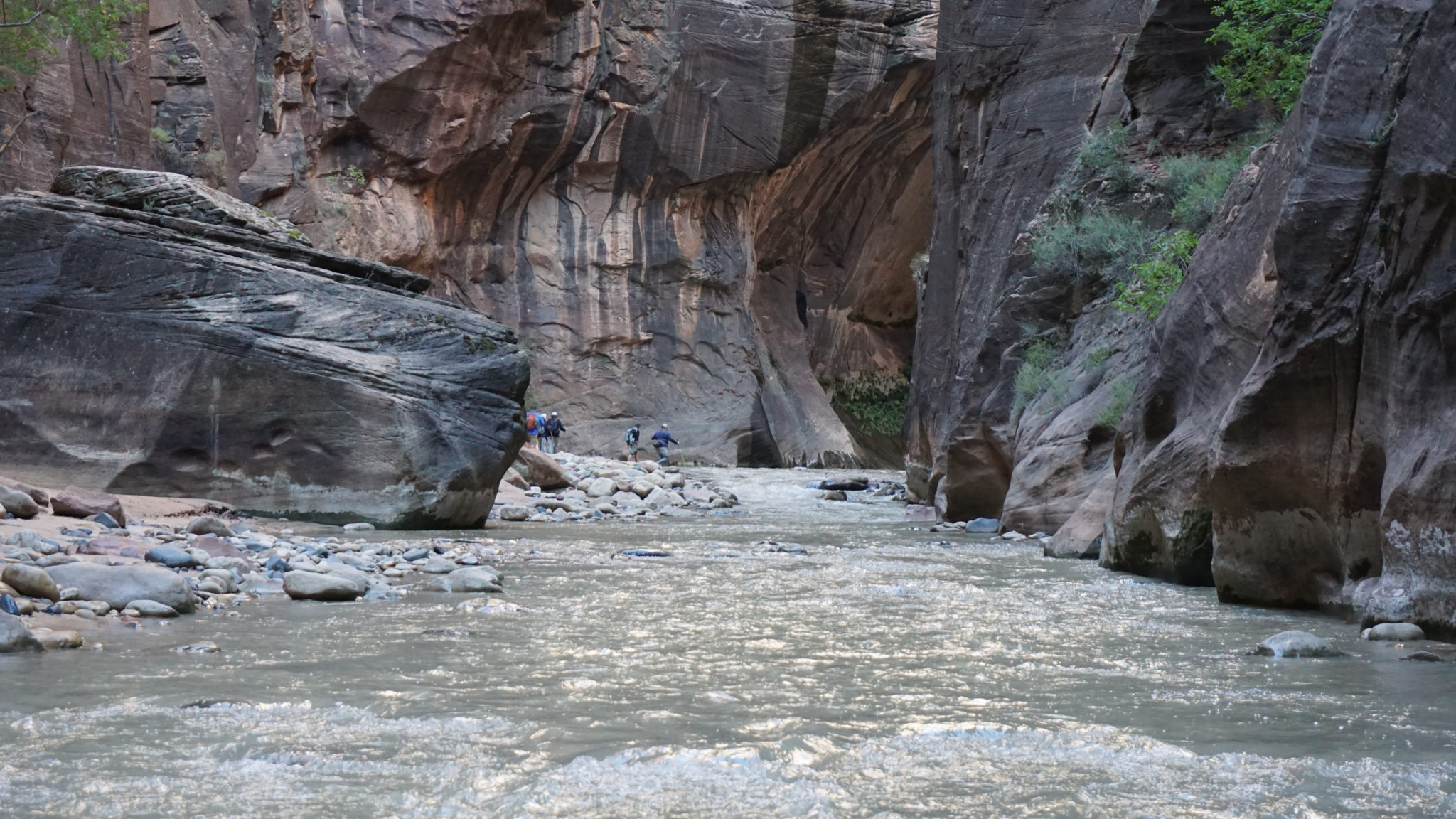
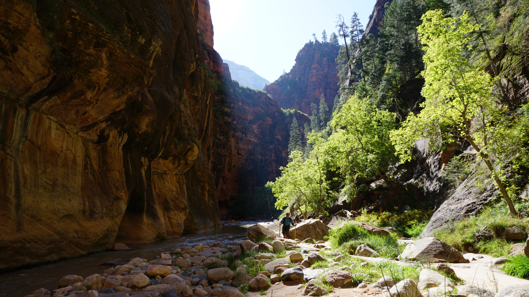
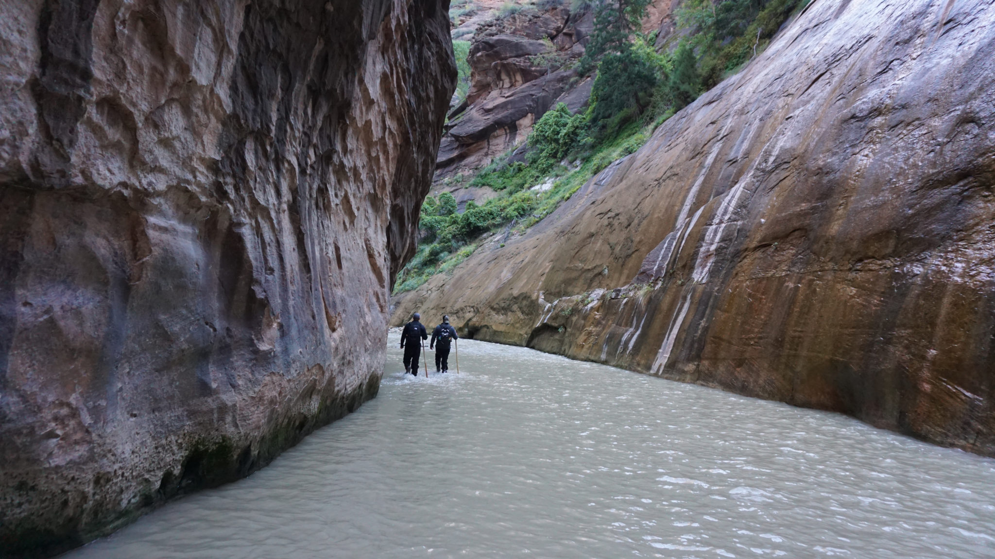
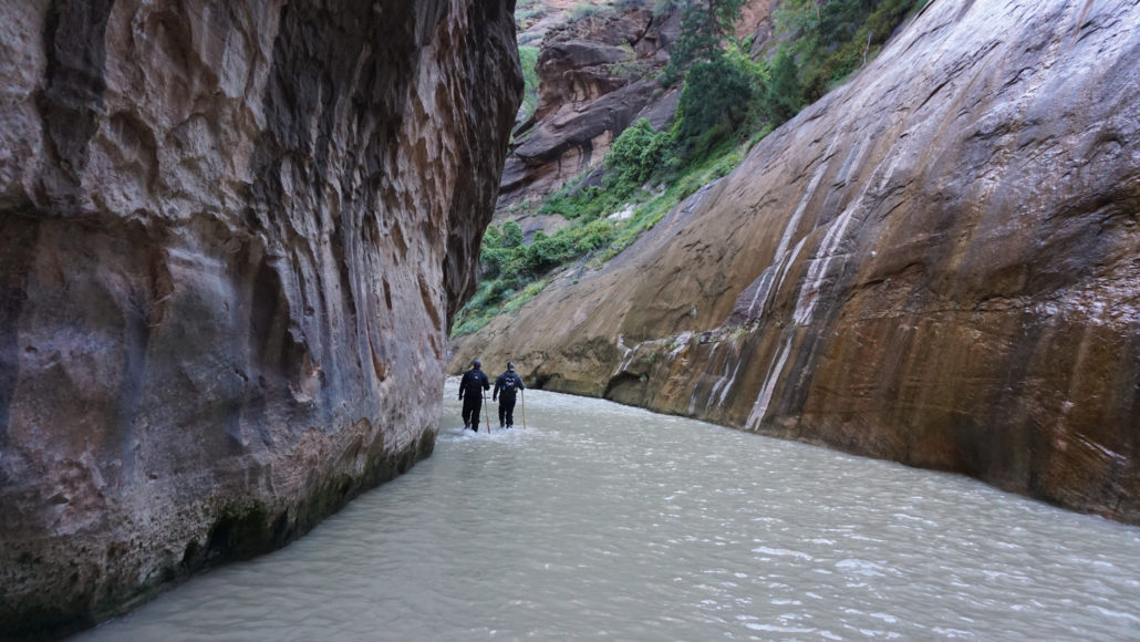
At the end of Riverside Walk, drop down a small staircase and walk straight into the river, heading north. Walking in the river is an interesting challenge, since the river bed is layered with thousands of rounded boulders of varying size that seem designed to test the strength of your ankle and the fortitude of your balancing ability. The strategy that ended up working best for me – since the water was opaque the day I hiked – was to feel the riverbed’s surface with my feet and gradually work them into the most stable foothold I could find. This prevented any ankle twists and slips-and-falls. As I got more proficient with it, the going actually became relatively easy.
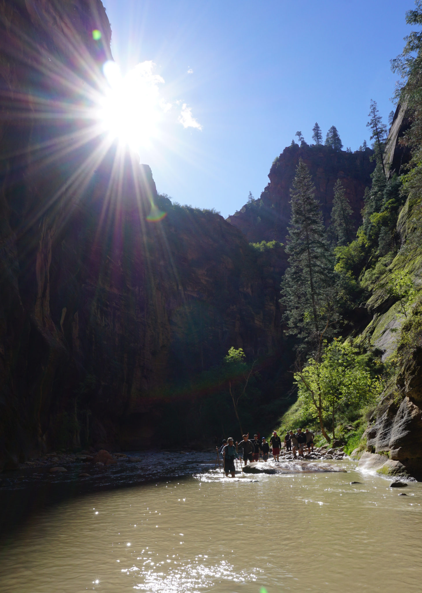
A rare combination of sun and sandbar adds up to significant relief from cold, wet conditions.
At numerous intervals, you will encounter rocky sandbars where you can leave the river and enjoy brief respites along informal paths. A few of these sandbars lie in somewhat open sections of the canyon, and they may receive sunshine during the late morning and early afternoon (appreciate the irony of craving direct sunshine while hiking in what is essentially a desert environment). The warmth of the sunshine will feel wonderful contrasted against the omnipresent coolness and dampness of the rest of the canyon.

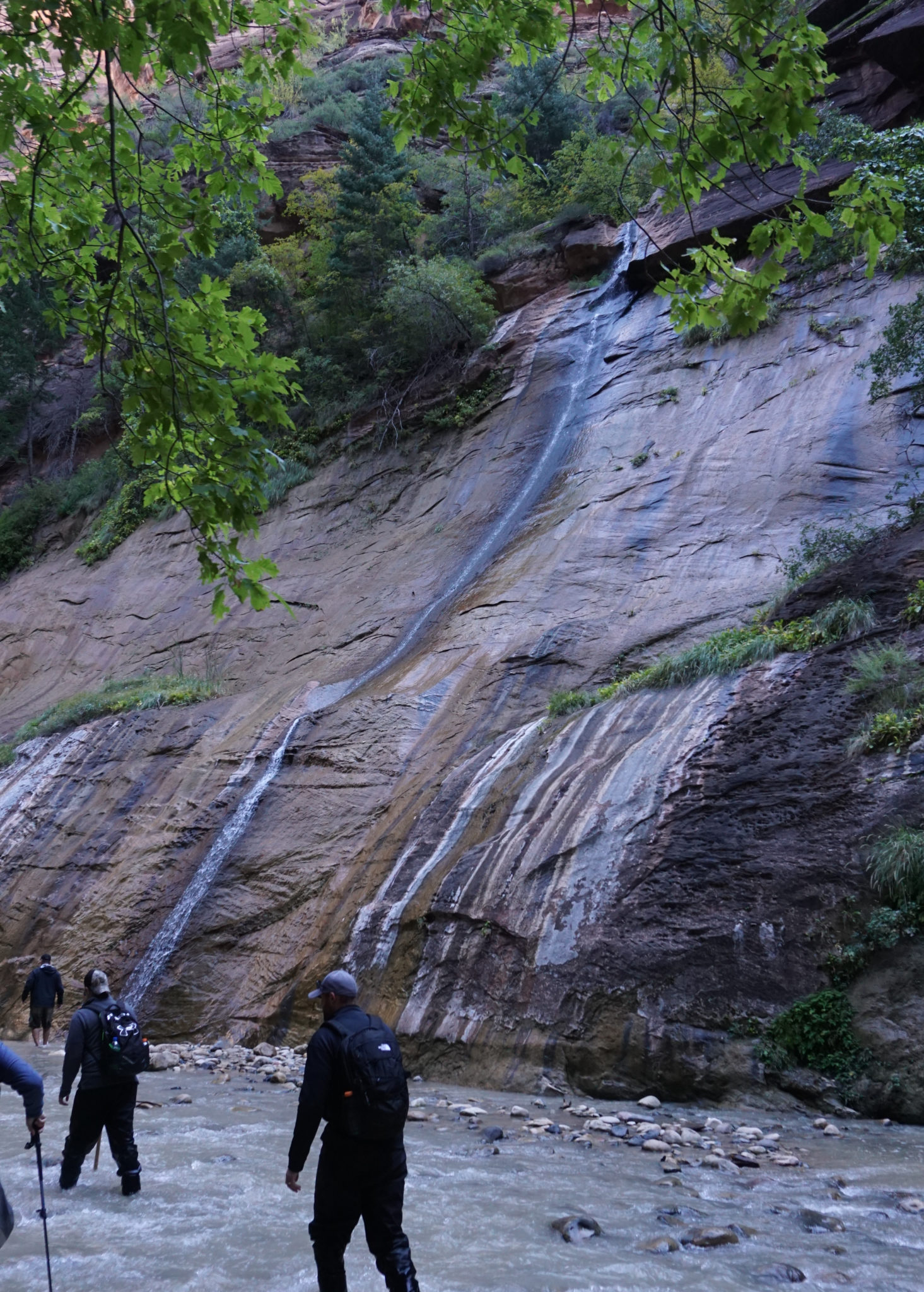
Mystery Canyon Falls
At the 1.3 mile mark, look for a thin ribbon of water spilling out of Mystery Canyon. This is the only real waterfall on the route, and even though it’s not a massive cataract, it’s still a pleasant sight.

Orderville Canyon
Continue upriver for another 1.2 miles to the confluence of the Virgin River and Orderville Creek. If you have some time, you can walk up Orderville Canyon a short distance to a small waterfall. This canyon is narrower than Zion Canyon, nearly reaching slot canyon proportions. It’s a worthy side trip, but it’s only a precursor to the best parts of the hike ahead. Skip it if you are on a time crunch.

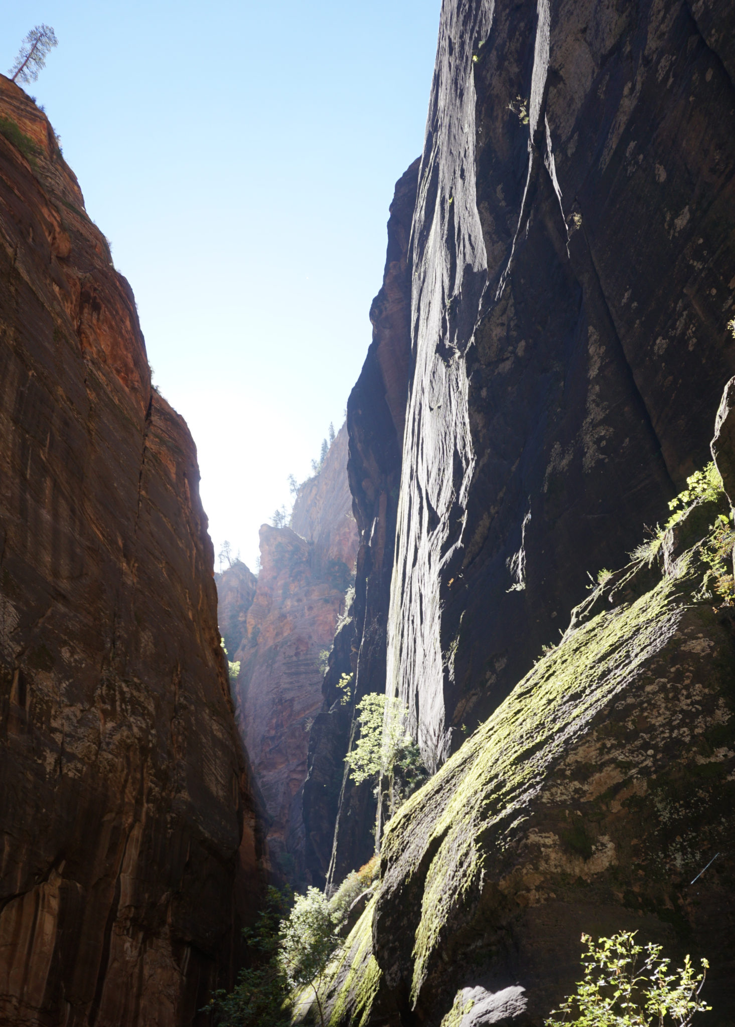
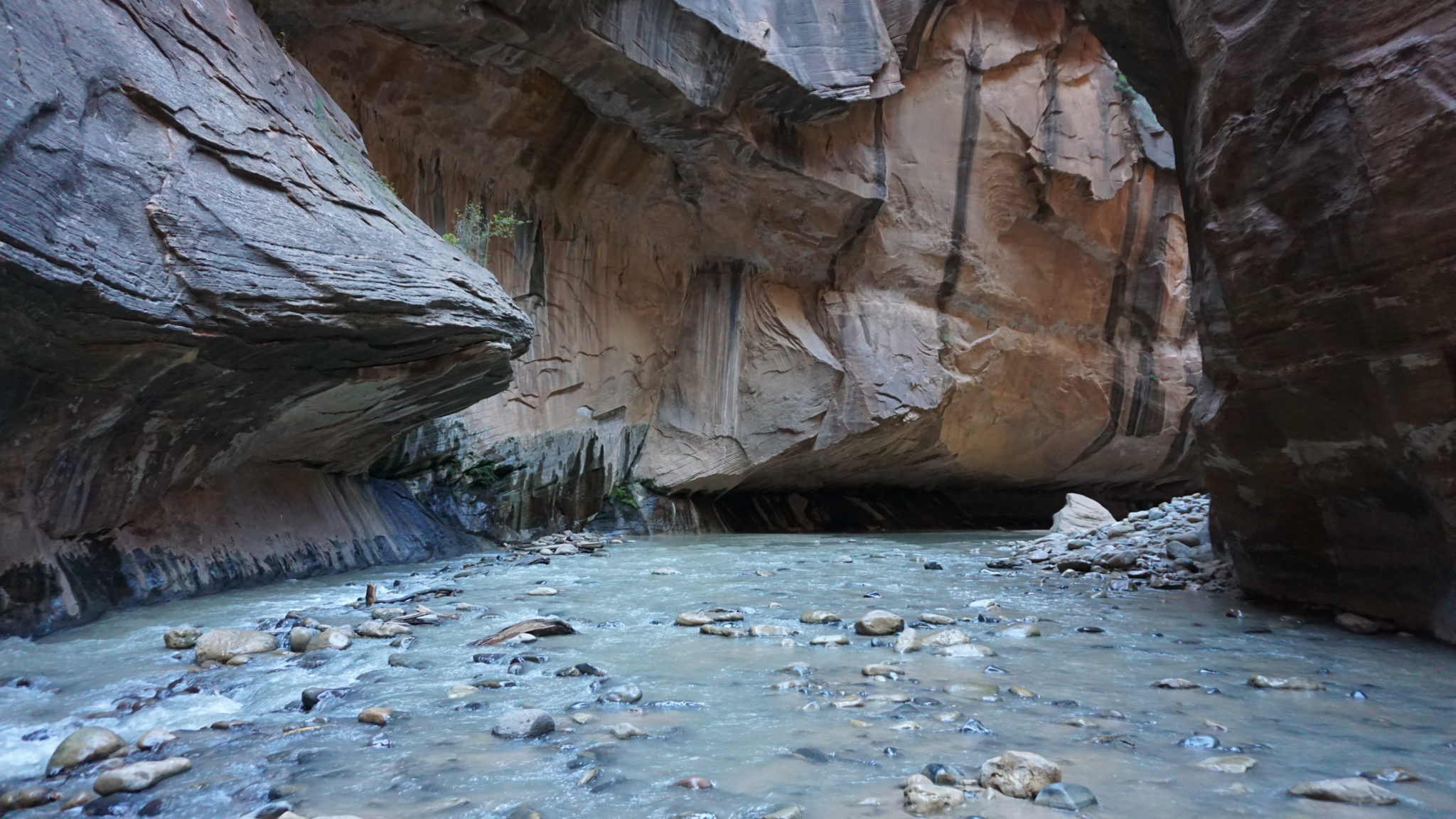
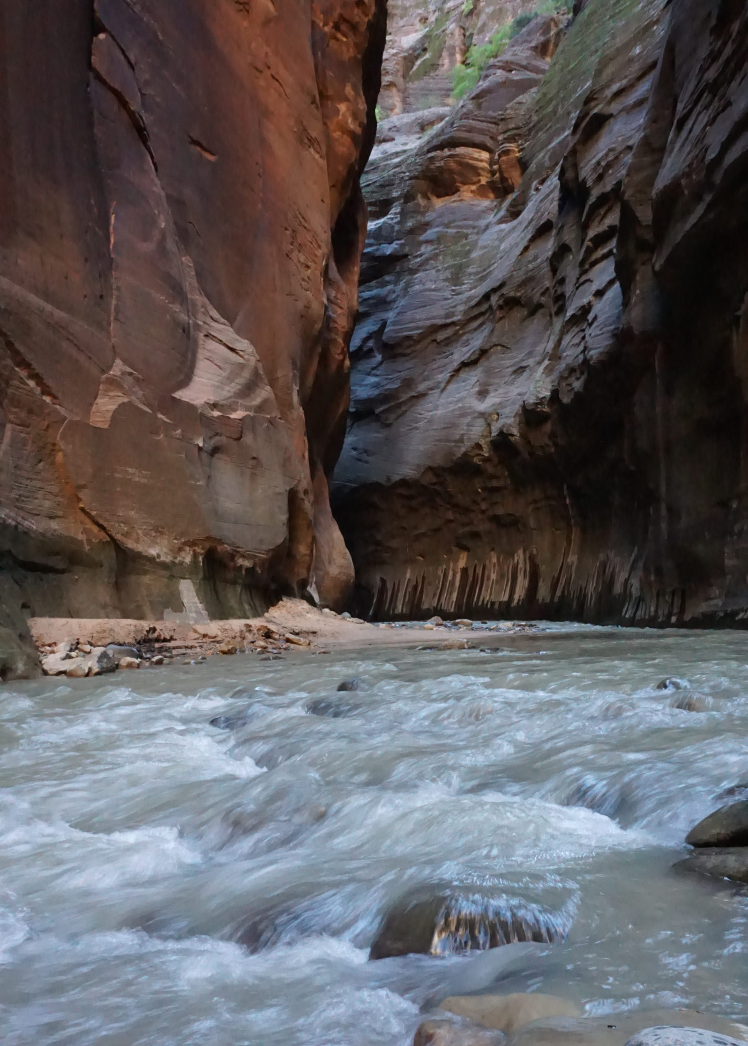
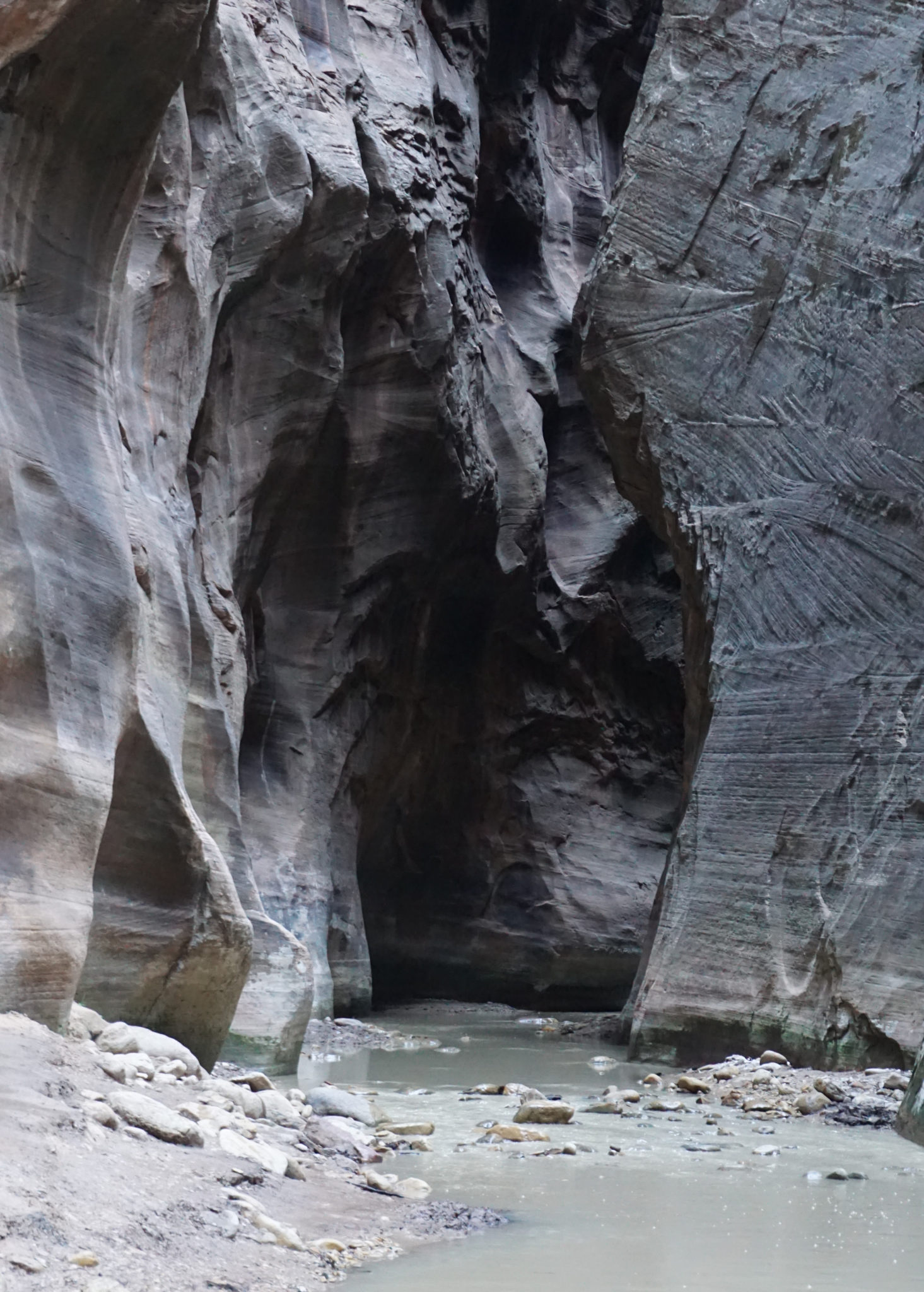
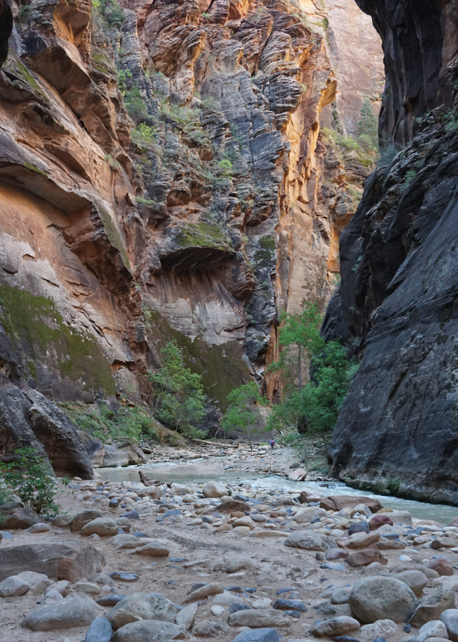
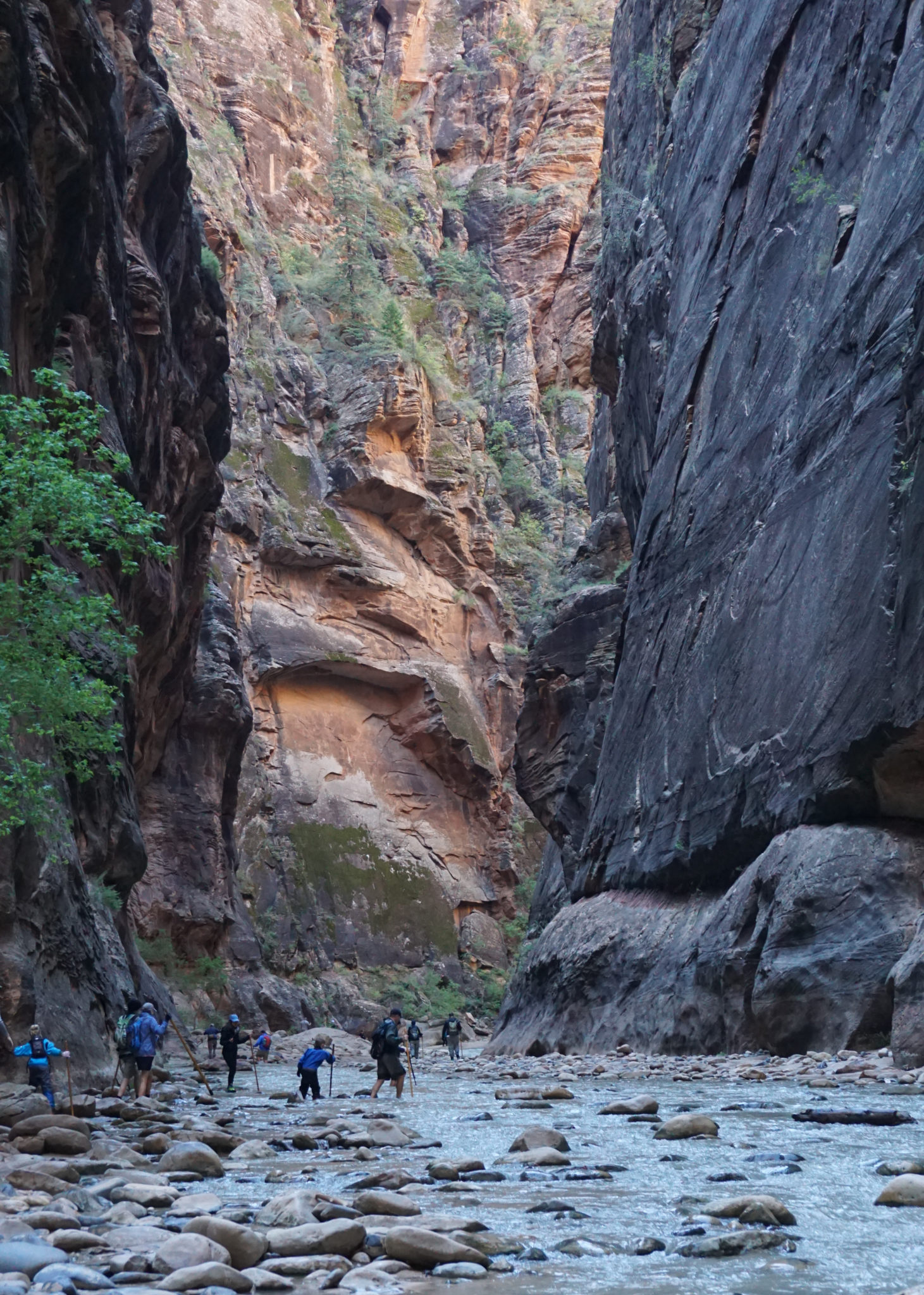
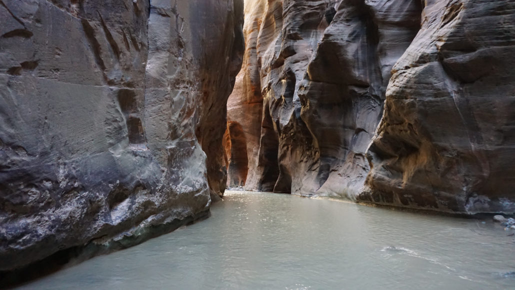
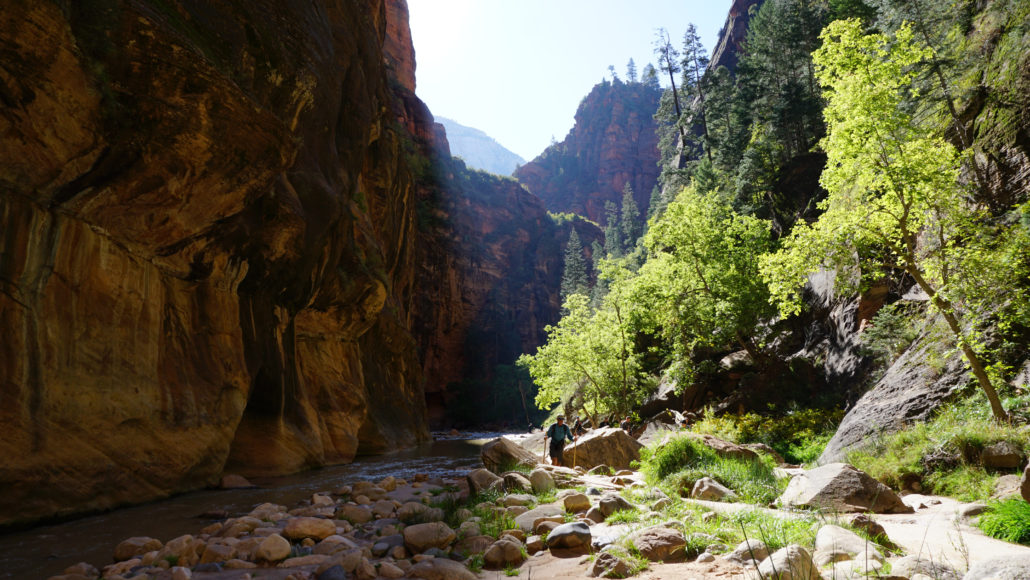
From the Orderville Canyon junction, you soon enter the Narrows. There are few sandbars in this section, and the canyon walls are very close together and very high. There is almost no high ground to escape to in an emergency. If you haven’t heeded the safety precautions I outlined earlier, this is where you are most likely to get into trouble during high water. However, this is also the most unforgettable section, and you can expect to spend a lot of time slack-jawed while exhausting your store of superlatives in attempting to describe how awesome the scenery is.
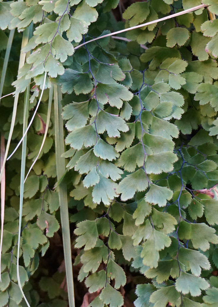
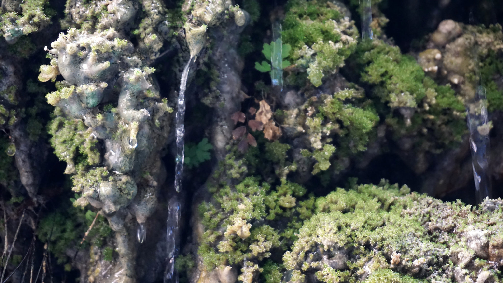
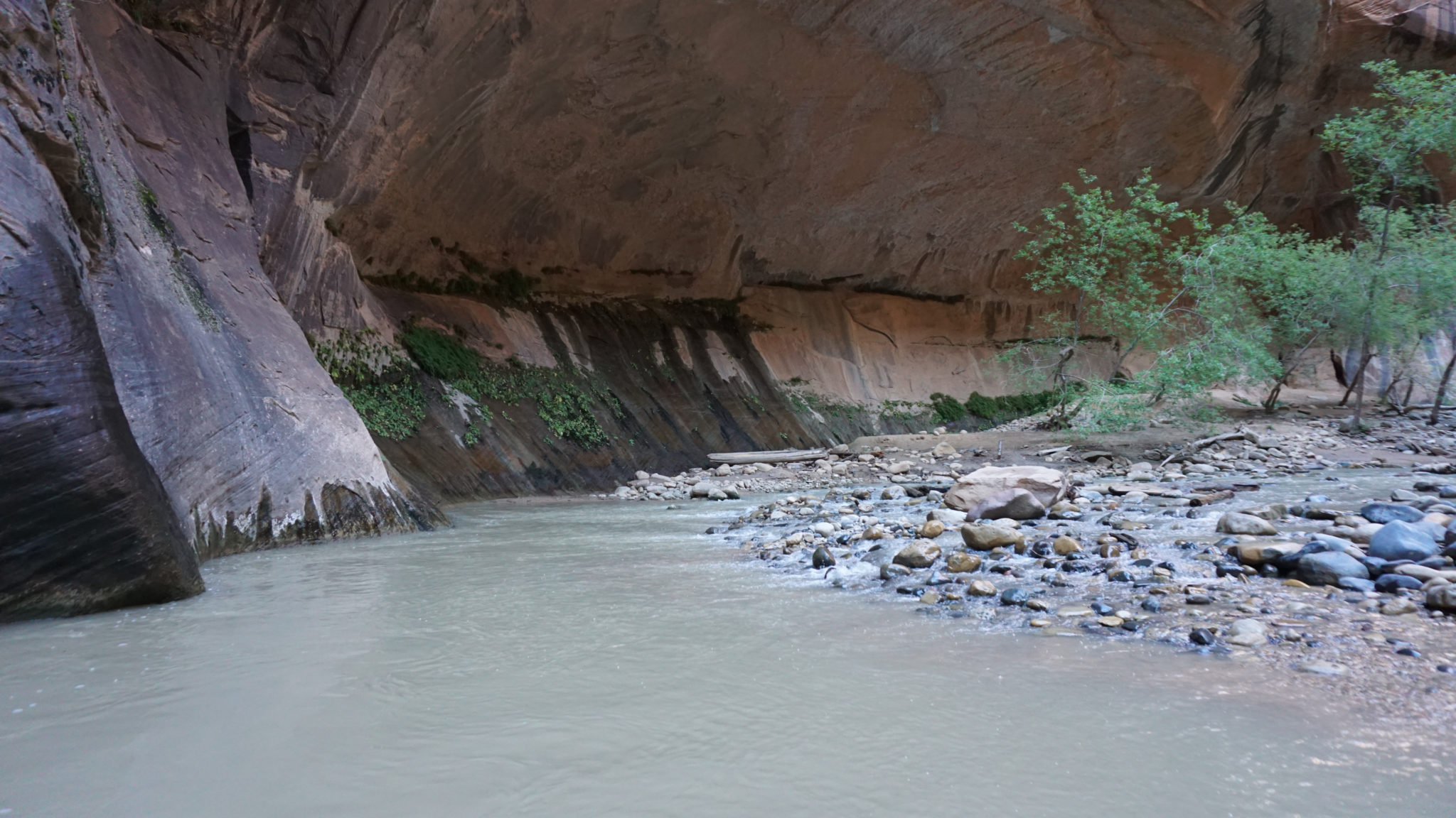
Maidenhair fern
The canyon opens up again at 4.3 miles, even though the river gets a bit deeper. Look for seeps and springs on the right that are rich with water-loving plants like mosses and ferns. The canyon then makes a pronounced bend before arriving at Big Spring, which lies on the west side of the canyon. Here, water spills from the canyon wall, adding its contents to the river. This idyllic spot is about as far as you should go during a dayhike, so turn around to make your way back to the Temple of Sinawava.

Traffic in the Narrows
Even though you will have gravity on your side and won’t have to fight the current of the river, you will still have a long haul before you get back to the Temple of Sinawava. Not only is it exhausting to negotiate uneven surfaces that you may or may not be able to see while dragging your legs through deep water, but you will now have to dance with oncoming hiker traffic as everybody attempts to find the easiest way through the river. This is an incredibly popular hike, so you can expect to have a lot of company. Take your time. Enjoy the experience. It’s one you probably won’t ever forget.
Tags: Big Spring, Hanging Gardens, Mystery Canyon, Orderville Canyon, riverside walk, Temple of Sinawava, the narrows, Virgin River, Zion Canyon, zion national park