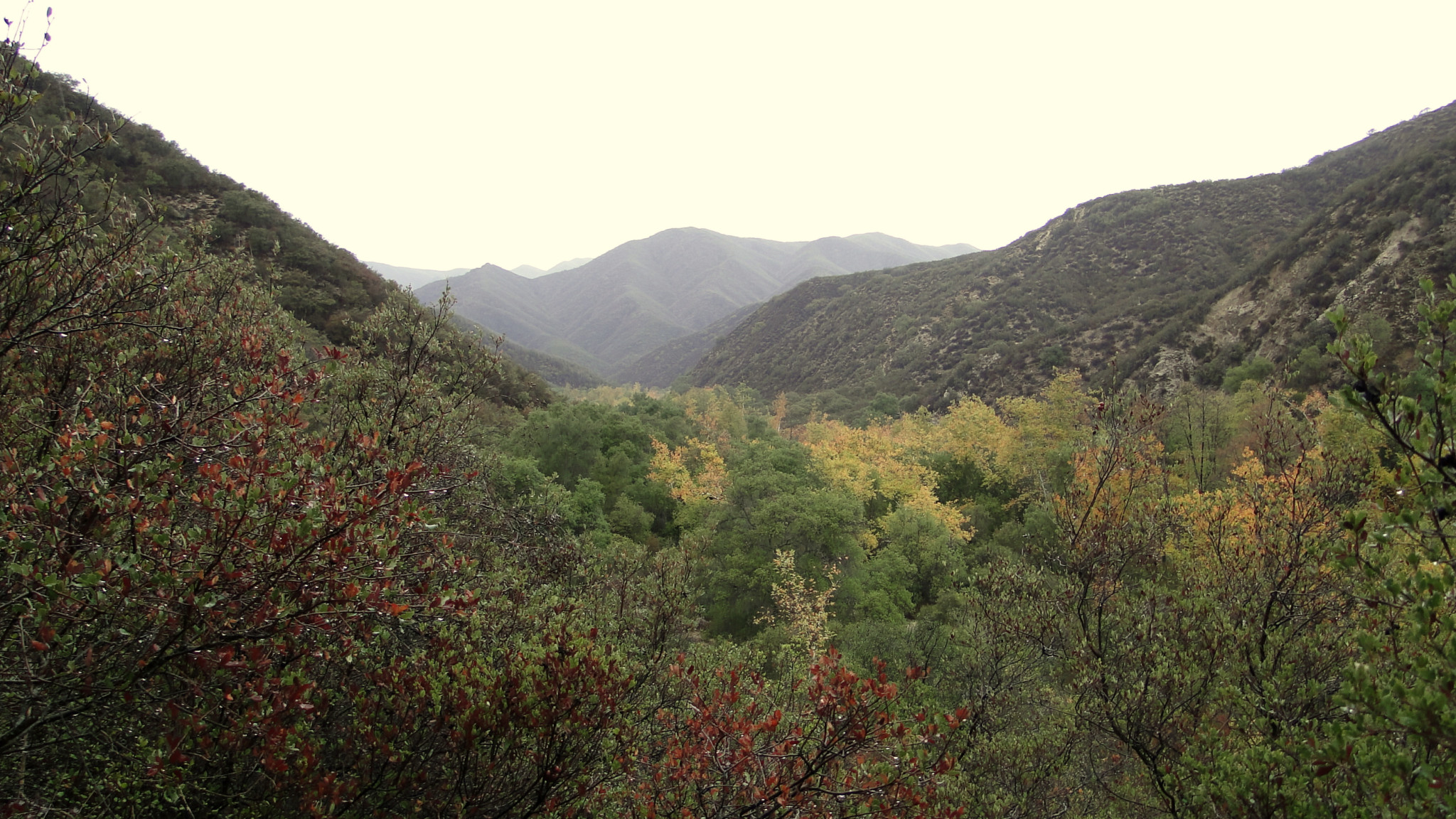
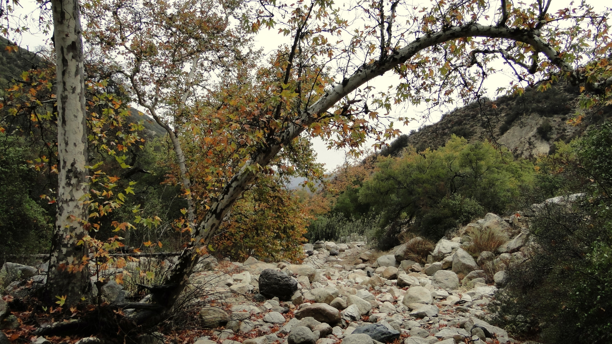
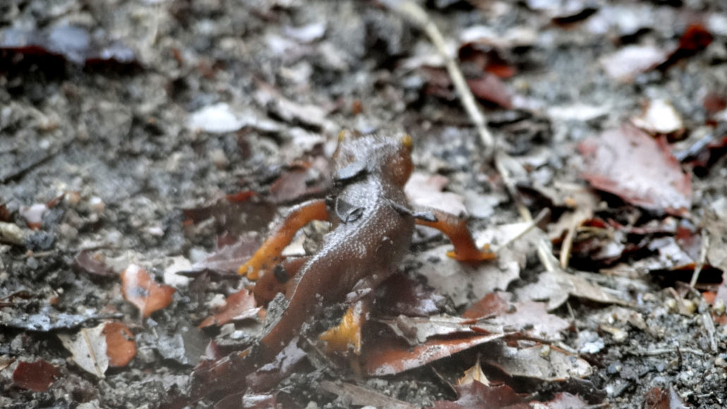
This delightful downhill trail travels through Tenaja Canyon into Cleveland National Forest’s San Mateo Wilderness. Chaparral, oak woodland, and riparian woodland dominate the vegetation as a seasonal creek trickles along the canyon’s bottom. Depressions in the creek that hold water deep into the summer drought season, known as Tinajas or Tenajas in Spanish, dot the canyon bottom and provide a water source for local wildlife throughout the year.

As this route penetrates the San Mateo Wilderness, it also serves as a fine backpacking route. The southern branch of the Tenaja Canyon Trail terminates at Fishermans Camp at the confluence with San Mateo Canyon. Backcountry campsites abound at Fishermans Camp, although backpackers will have better luck finding water sources along the intermittent San Mateo Creek by turning west at Fishermans Camp and heading downstream to the junction with the San Mateo Trail.
Backpackers will need to obtain a wilderness permit from Cleveland National Forest’s Trabuco District in advance of their hike. To obtain the permit, mail or fax your application (which you can find by clicking on the camping link below) to the Trabuco District’s office. A week or two later, you’ll receive your permit, which grants you permission to camp within the wilderness.
Hikers should also remember that this route travels downhill first before an uphill ascent. This down-then-up arrangement can prove taxing and/or tedious for some hikers. It can also present a challenge on warm days, as most hikers will be climbing out of the canyon during the heat of the afternoon. Plan accordingly by rationing your energy, bringing abundant water (at least 2, preferably 3 liters), and bringing snacks to keep your energy up.
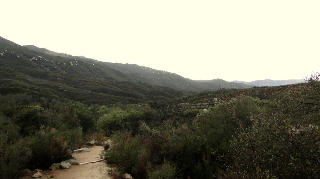
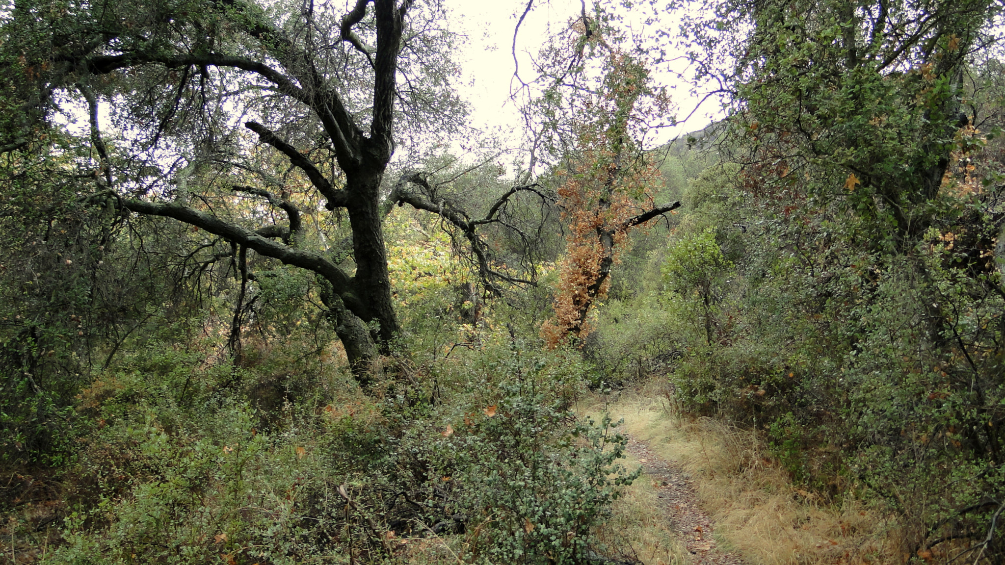
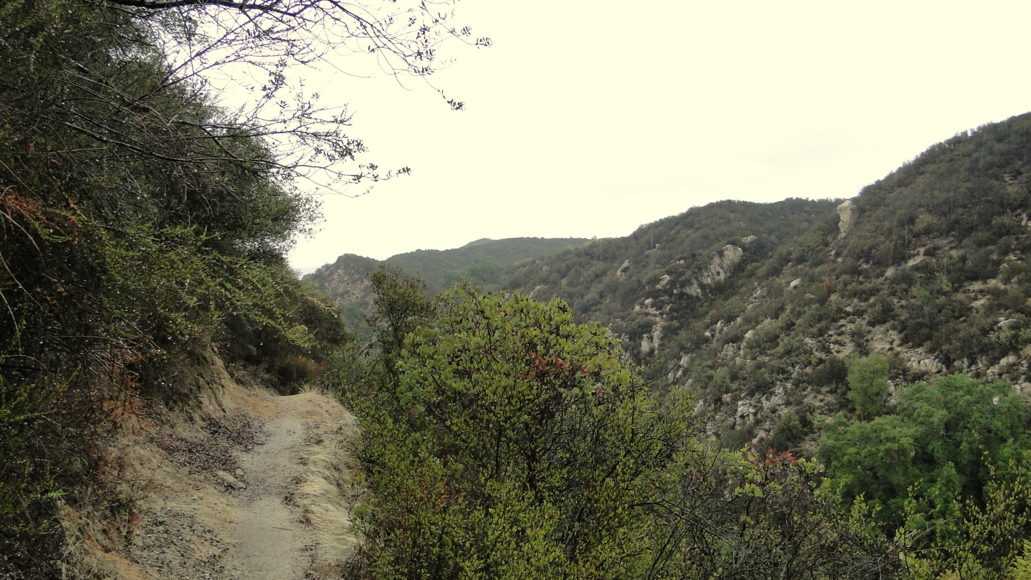
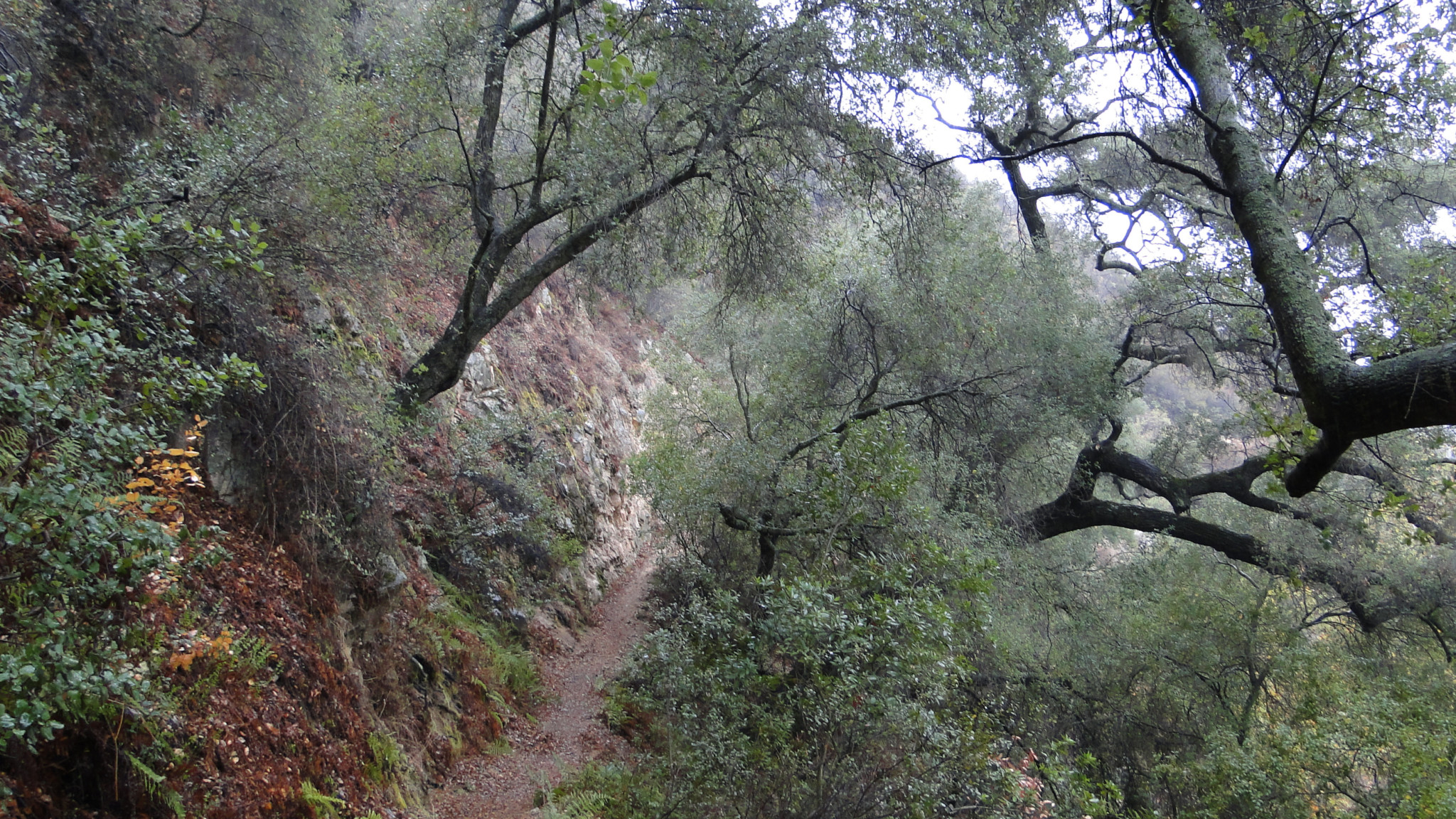
From the staging area, follow the trail over initially undulating terrain clothed in chamise chaparral. You’ll cross over seasonal Tenaja Creek bed before turning right on the canyon’s western wall at 0.5 mile. From here, the trail sticks mostly to the canyon wall, dipping into and out of several small tributary ravines.
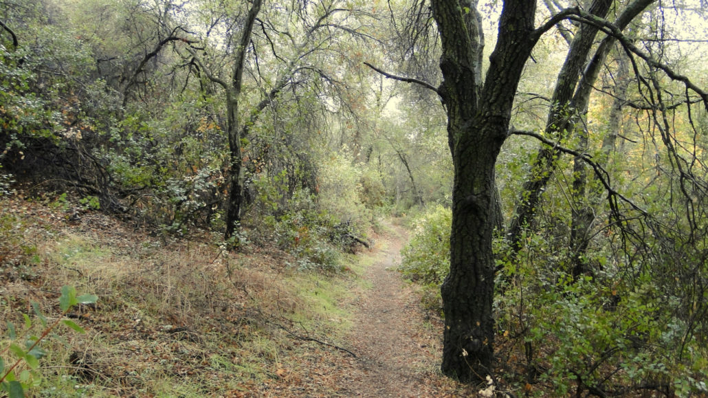
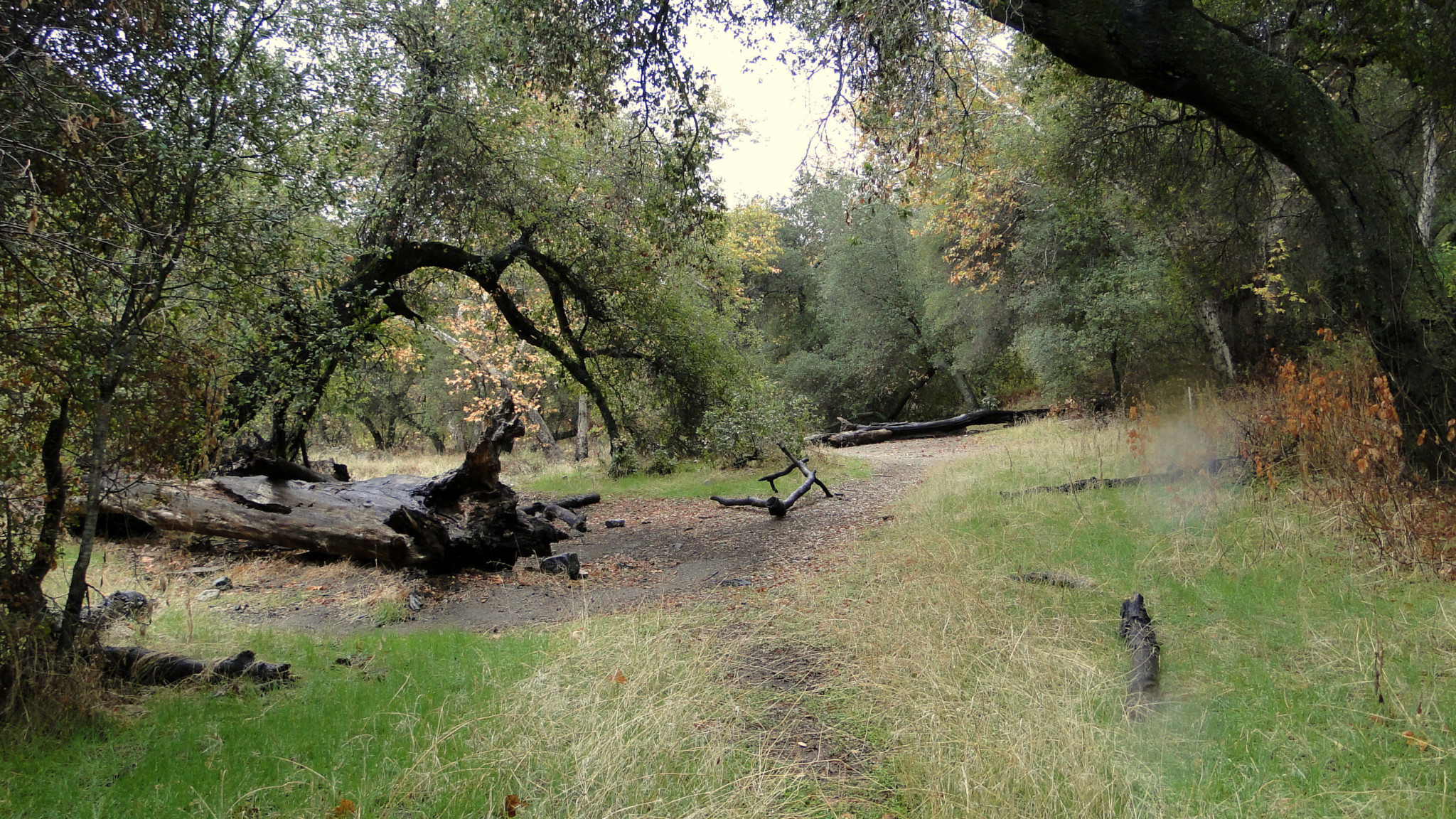
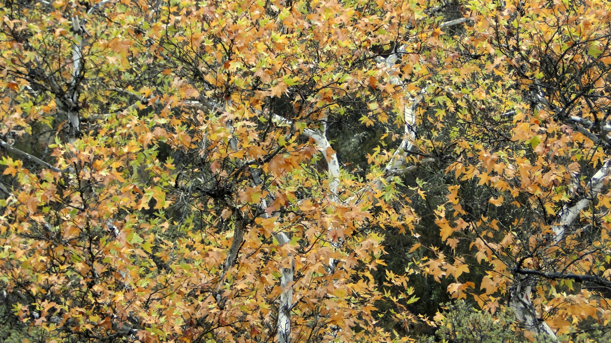
Occasionally, the trail will drop close enough to the creek bed that you’ll be walking through impressive groves of California sycamores. The creek used to host a number of water-loving white alders, although successive drought years have killed a lot of these alders off. The alders also tend to mark where some of the tenajas are, as these trees are just as dependent on water as the local wildlife.
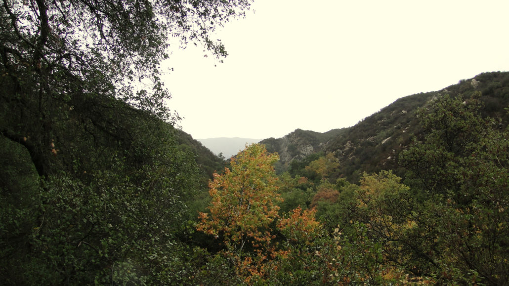
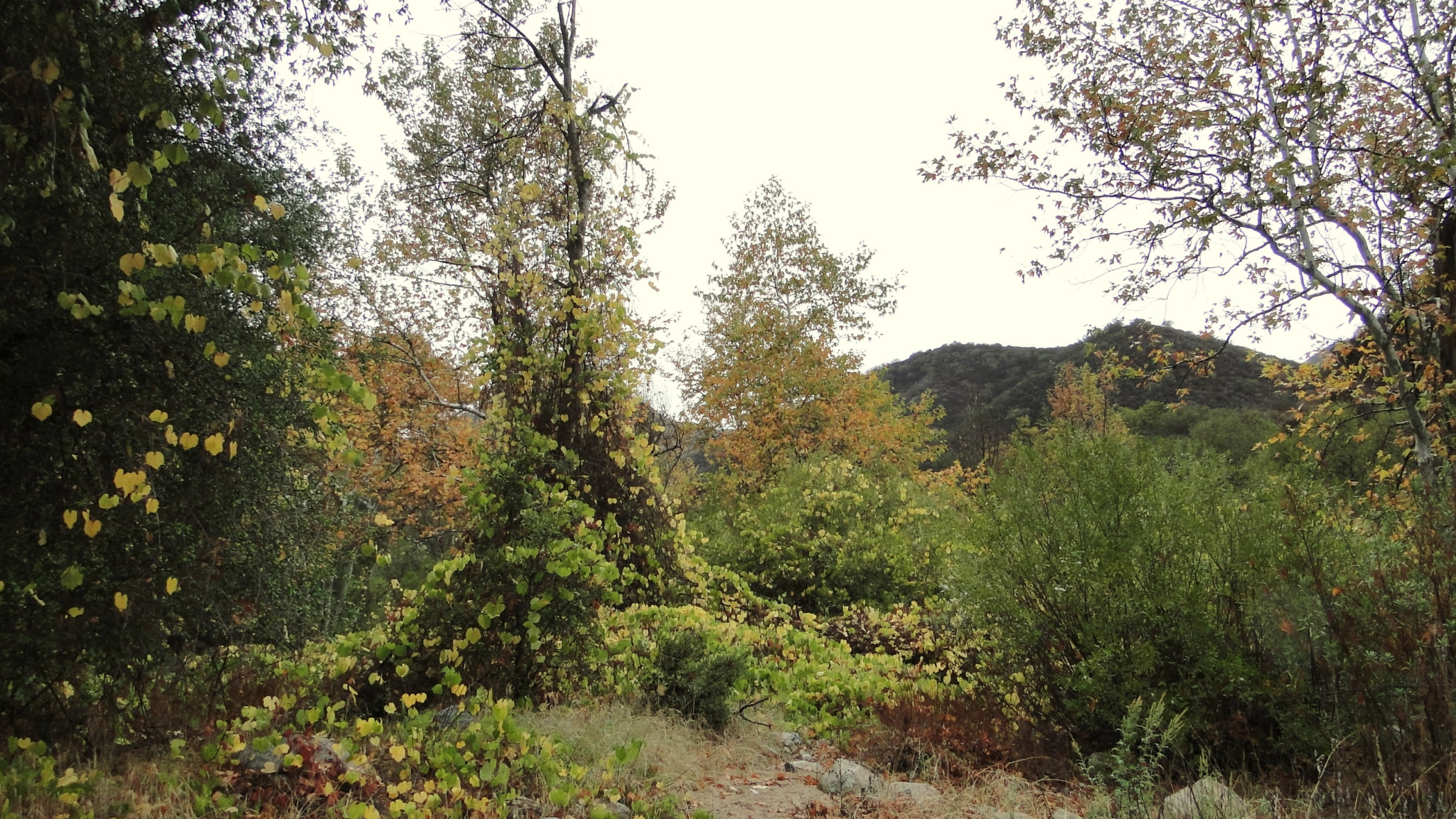
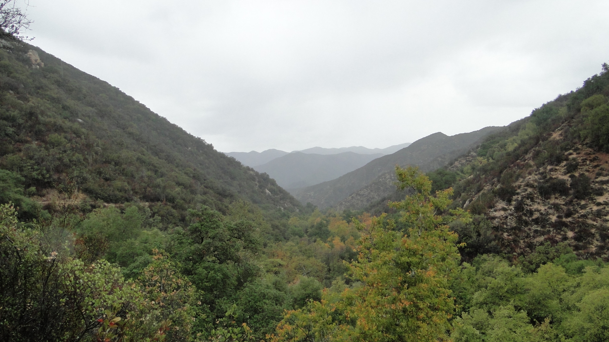
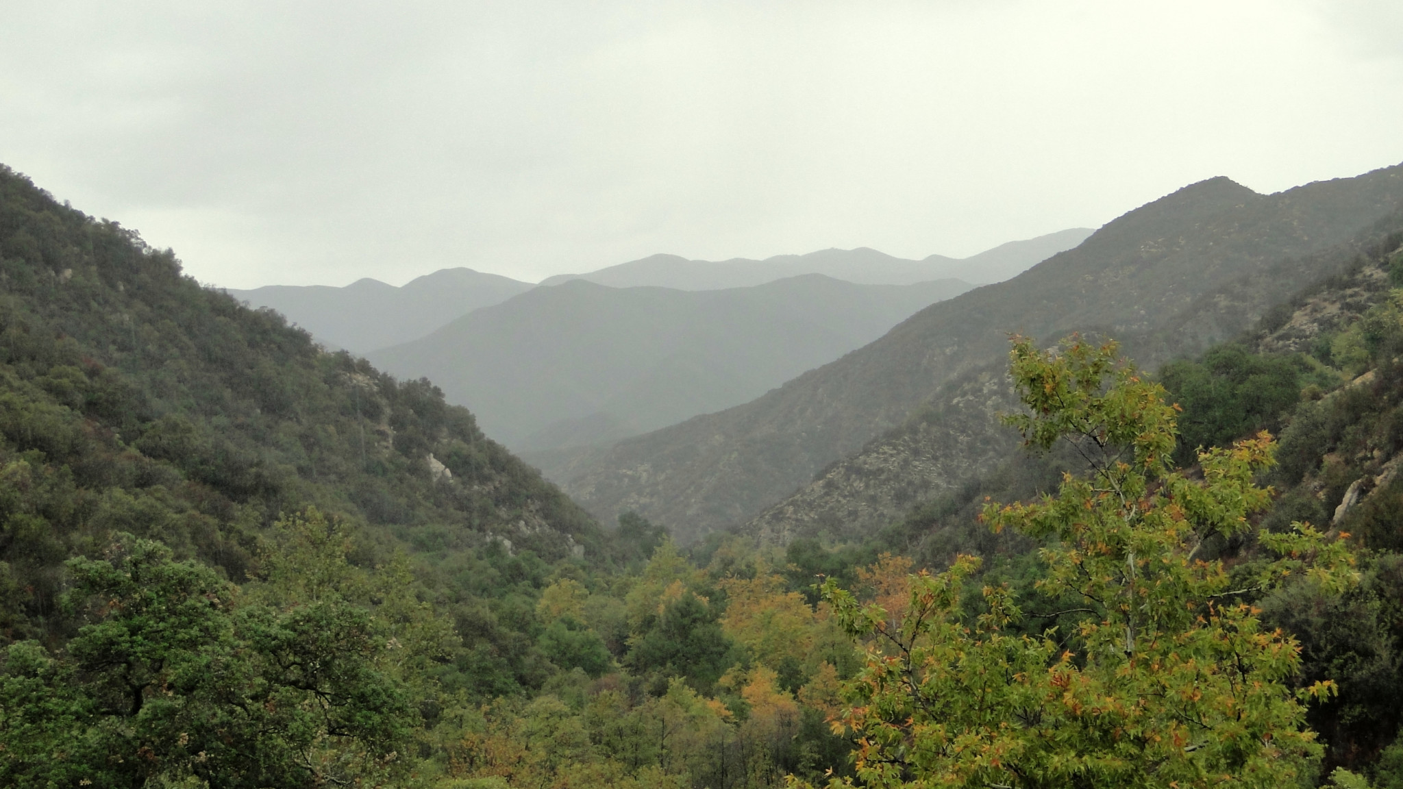
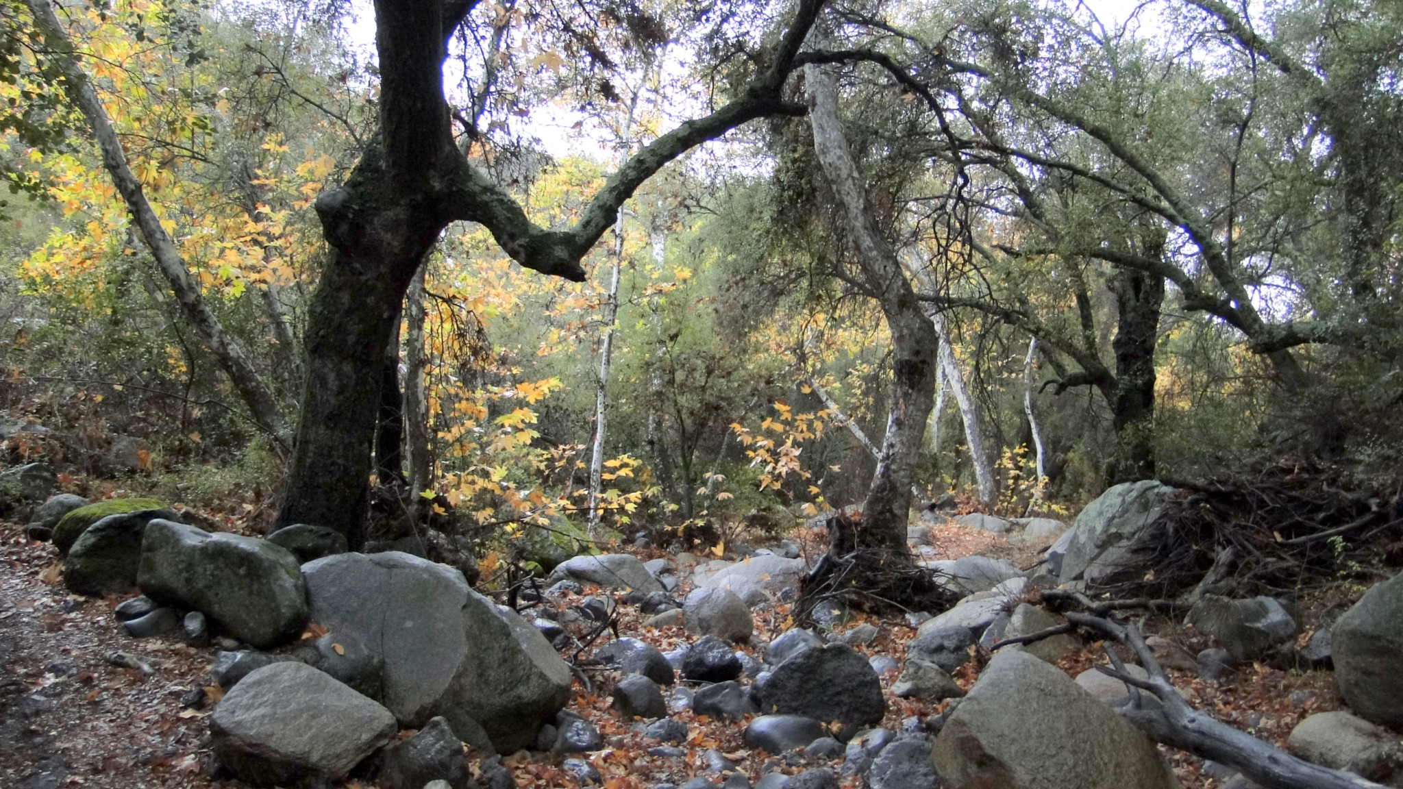
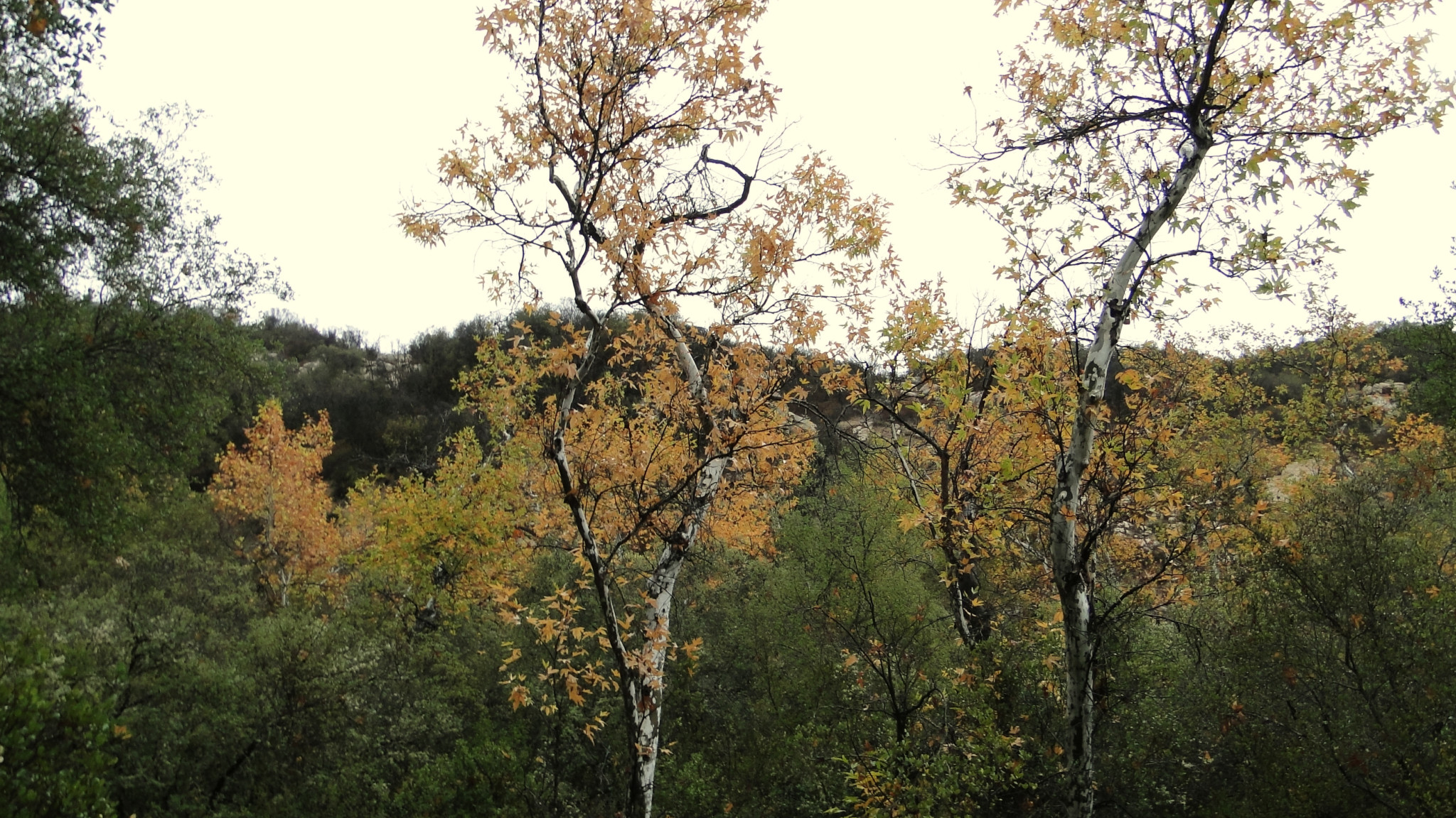
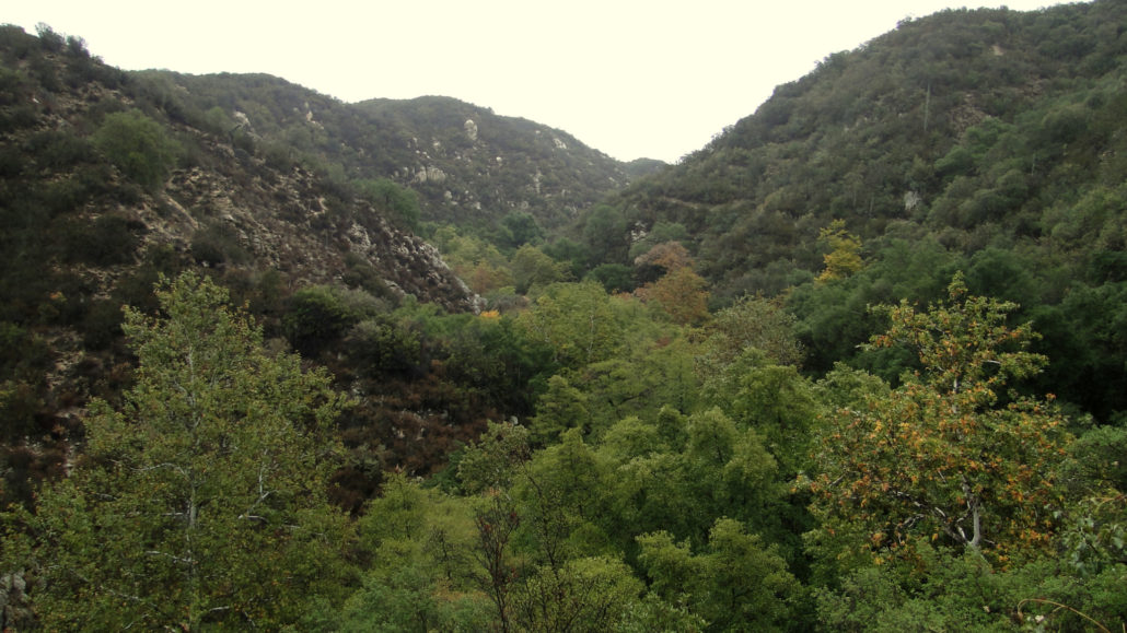
As you progress down canyon, pleasing views up-canyon and down-canyon emerge. During the months of November and December (the latter month being when I scouted this route), the canyon’s sycamores turn a vivid golden orange, providing a pleasing fall color display. Wherever the trail drops into tributary ravines, gnarled old coast live oaks cast deep pools of shade. The redolent fragrances of black sage, California sagebrush, and coast live oak add a dash of olfactory pleasure, while bright splashes of color from wildflower blooms add color during the spring.

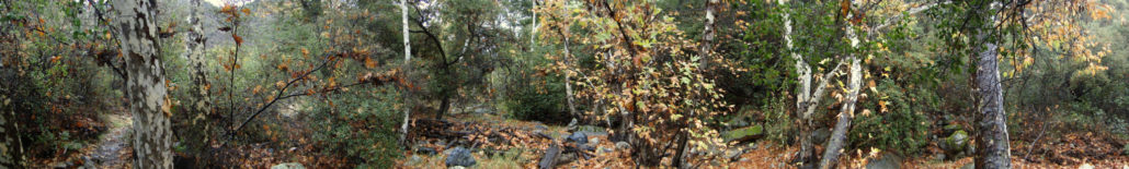
At 3.4 miles, the trail bottoms out at Fishermans Camp. This camp, once haunted by fisherman seeking steelhead trout in nearby San Mateo Creek, was once accessible by car. The steep, winding trail that descends from Cleveland National Forest Road is now maintained a single-track foot path that serves as the easiest access trail into San Mateo Canyon. Within the camp, backpackers will find about half a dozen likely camping spots, although as mentioned before, water is usually most reliable about a mile downstream along the San Mateo Canyon Trail.
Whether you are camping or taking a lunch break, Fishermans Camp will be your turnaround point for the route. Again, the return route is uphill. While the grade is not particularly steep, it can still present a challenge for hikers who get a little too relaxed at Fisherman Camp.
Tags: Cleveland National Forest, Fishermans Camp, San Mateo Canyon, San Mateo Canyon Wilderness, Tenaja Canyon, Trabuco District