One of the most intriguing mysteries in Phoenix’s history is the sudden disappearance of the Hohokam tribe. These people were ancient settlers in Phoenix who left traces of their existence but then mysteriously vanished for unknown reasons. The name given to them, “Hohokam” means “those who have gone” and it’s estimated they were in the Phoenix area from 450 to 1450 AD. In the local museums, their pottery and dishes are displayed in glass protection but lucky for us, this tribe also left some gifts of rock art for today’s hikers to discover along the trails on South Mountain.
With no traces of written letters or numbers the Hohokam drew symbols on the rocks, which were either meant as symbolic meanings and/or could have been used as trail markers. They created the symbols by chipping away at the rocks outer layer to expose the lighter inner color of the stone. Two well known trails where visitors can spot Hohokam rock art on South Mountain are Telegraph Pass and Kiwanis Trail.
Both trails intersect with each other and take you across the north and south side of the mountain. For this hike, I started at Telegraph Pass which is on the south side.
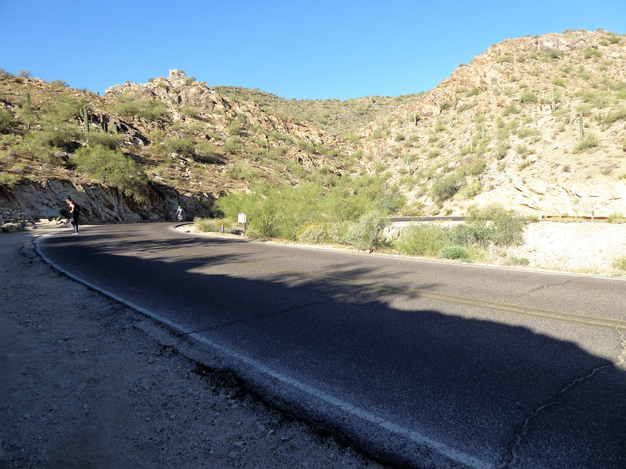
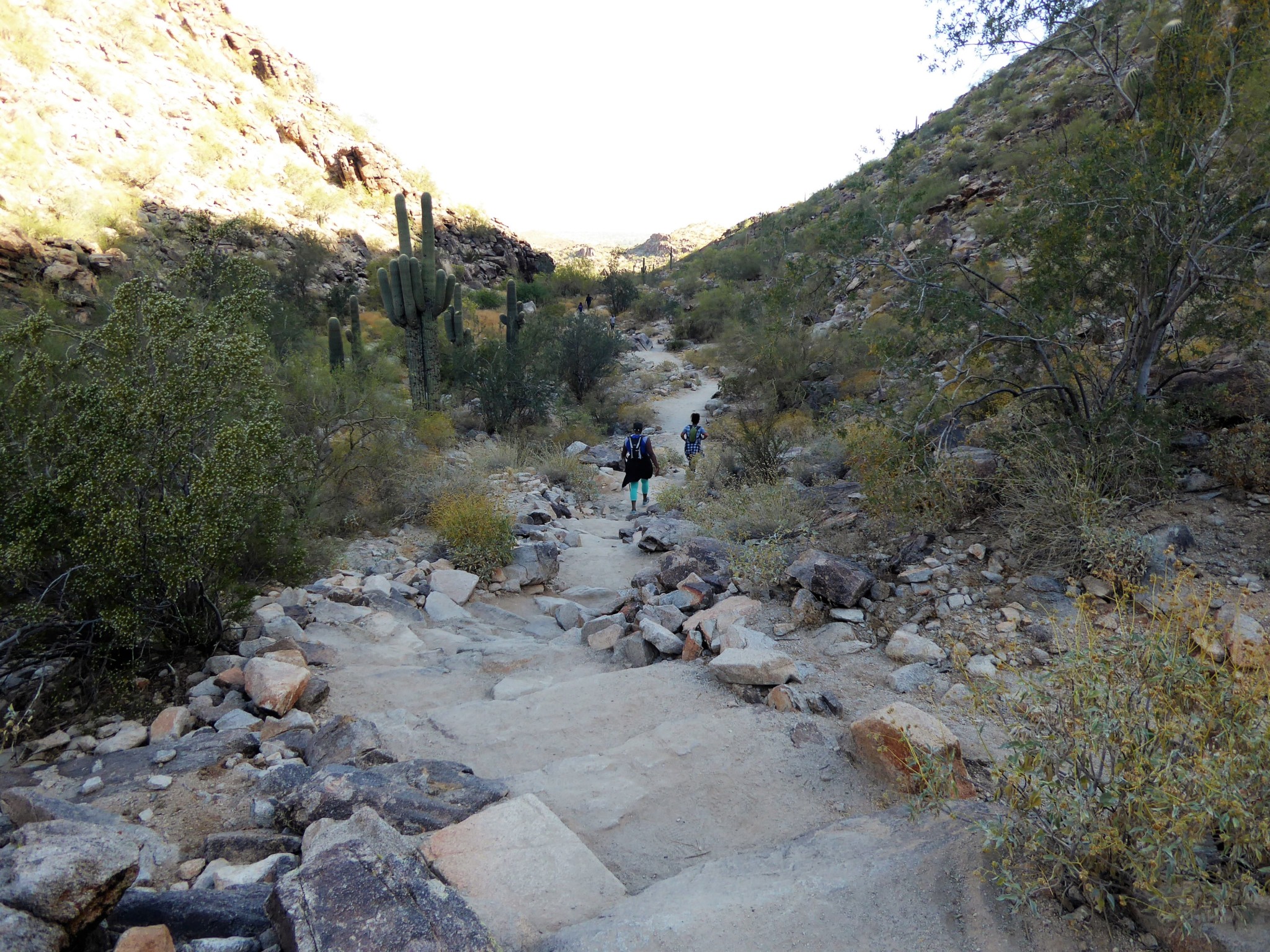
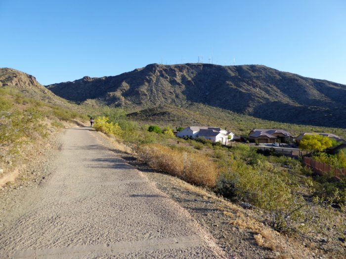
The trailhead for Telegraph Pass is located within the quiet Phoenix neighborhood known as Ahwatukee. Local residents use this trail heavily so it’s not uncommon to see people jogging up and down the route. Once leaving the parking lot there is a concrete path that will lead you to the actual trailhead of Telegraph Pass.
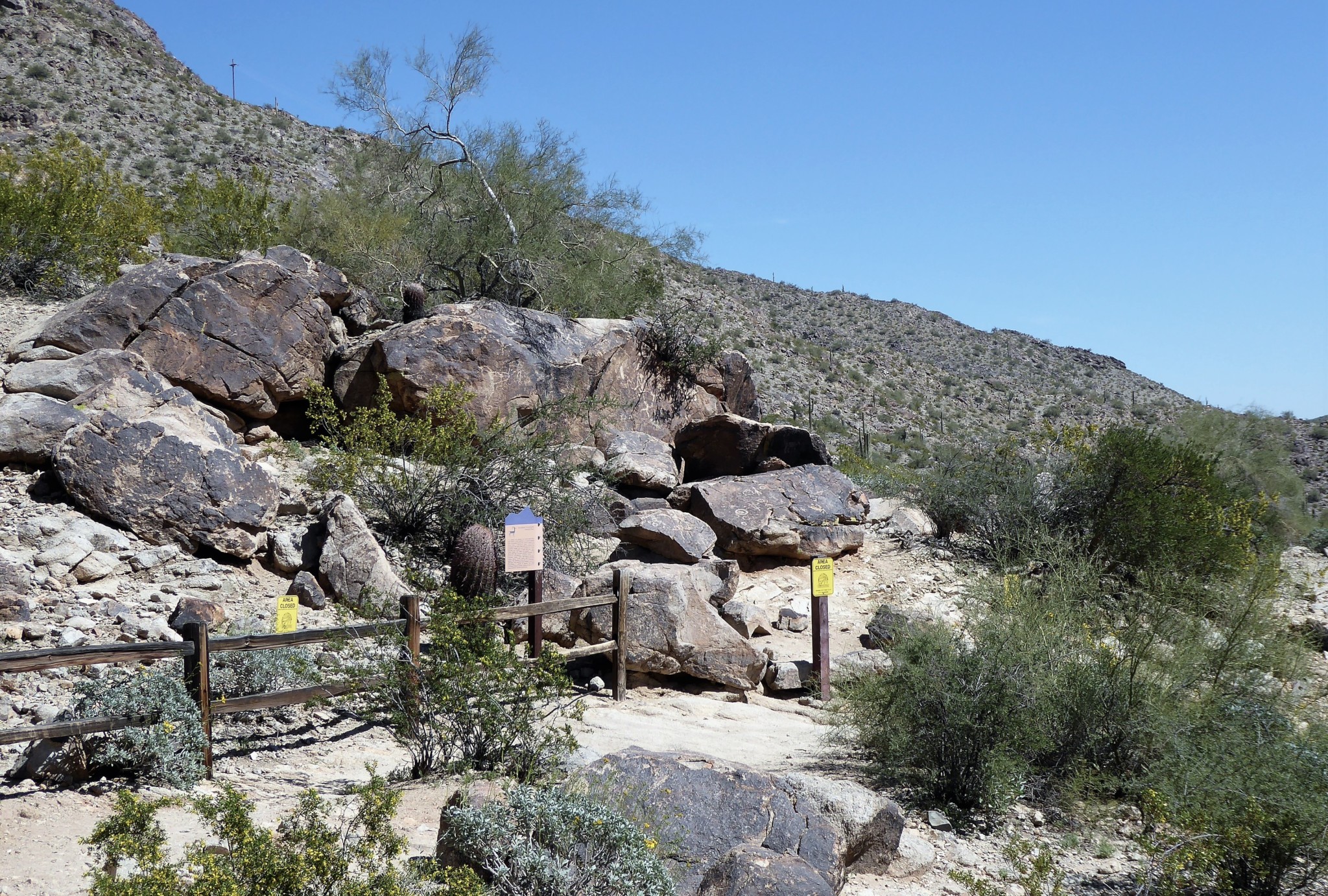
The path begins relatively flat with a gradual incline occurring as you approach closer to the base of the mountain. Just before the 0.8 mile mark, you will come across an area to your right with a wooden fence.
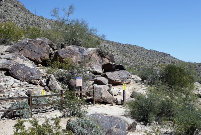
Fenced off area to your right
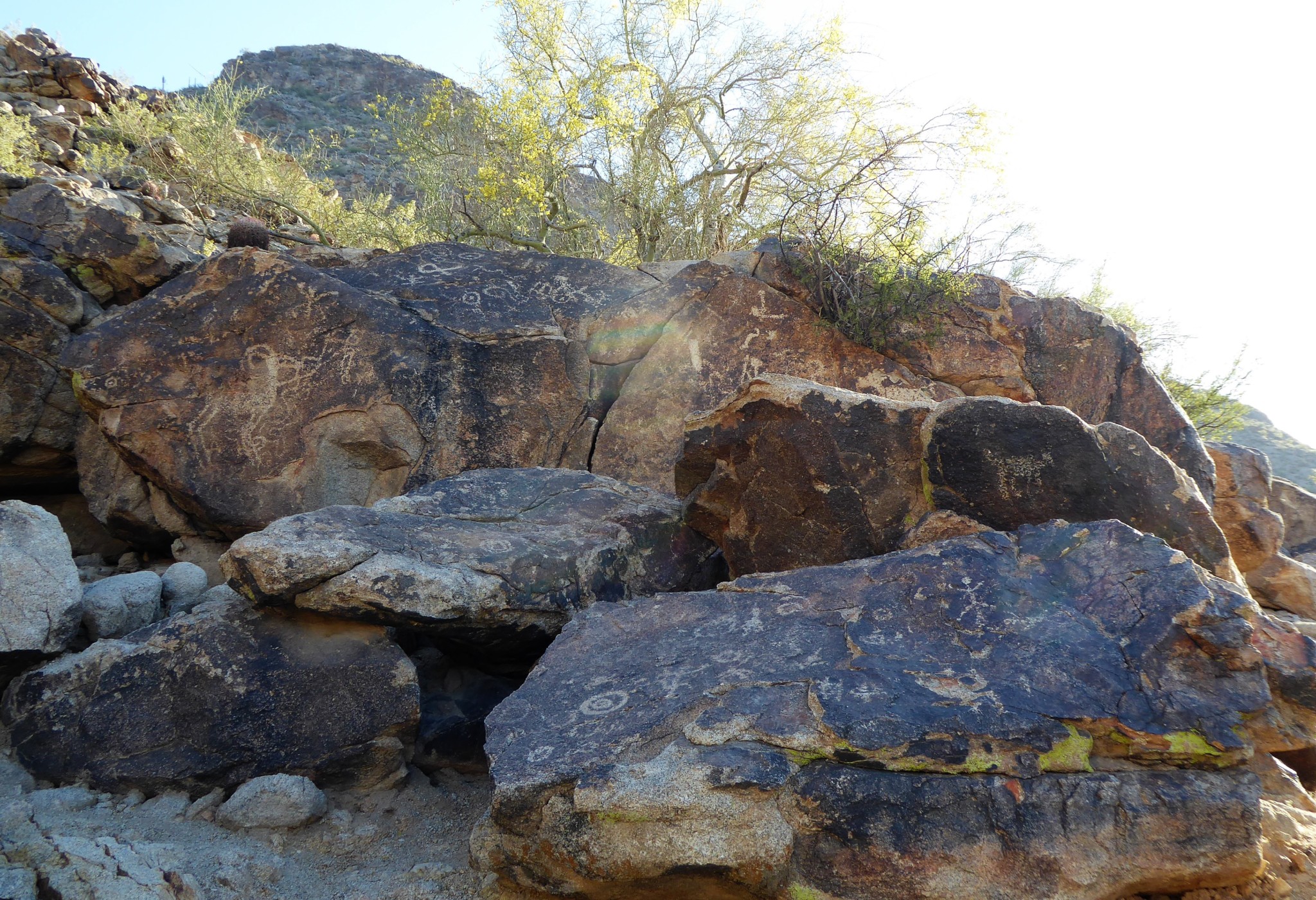
This is an area where the first signs of Hohokam art can be found. It’s a little off the trail so if you don’t pay attention, you could miss it. As you approach the rock formation, you will surely be able to recognize the ancient pictures that lie before you. There is a stick figure of a man, a coyote, numerous circles and other shapes. It’s a surreal feeling knowing that you are standing where ancient people stood so many years ago creating this art.

Hohokam Rock Art
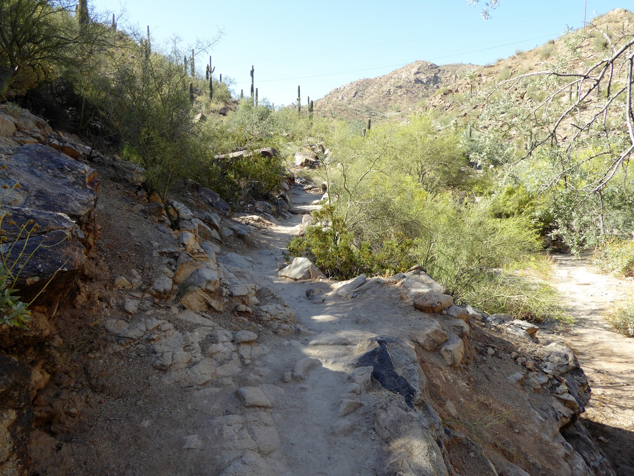
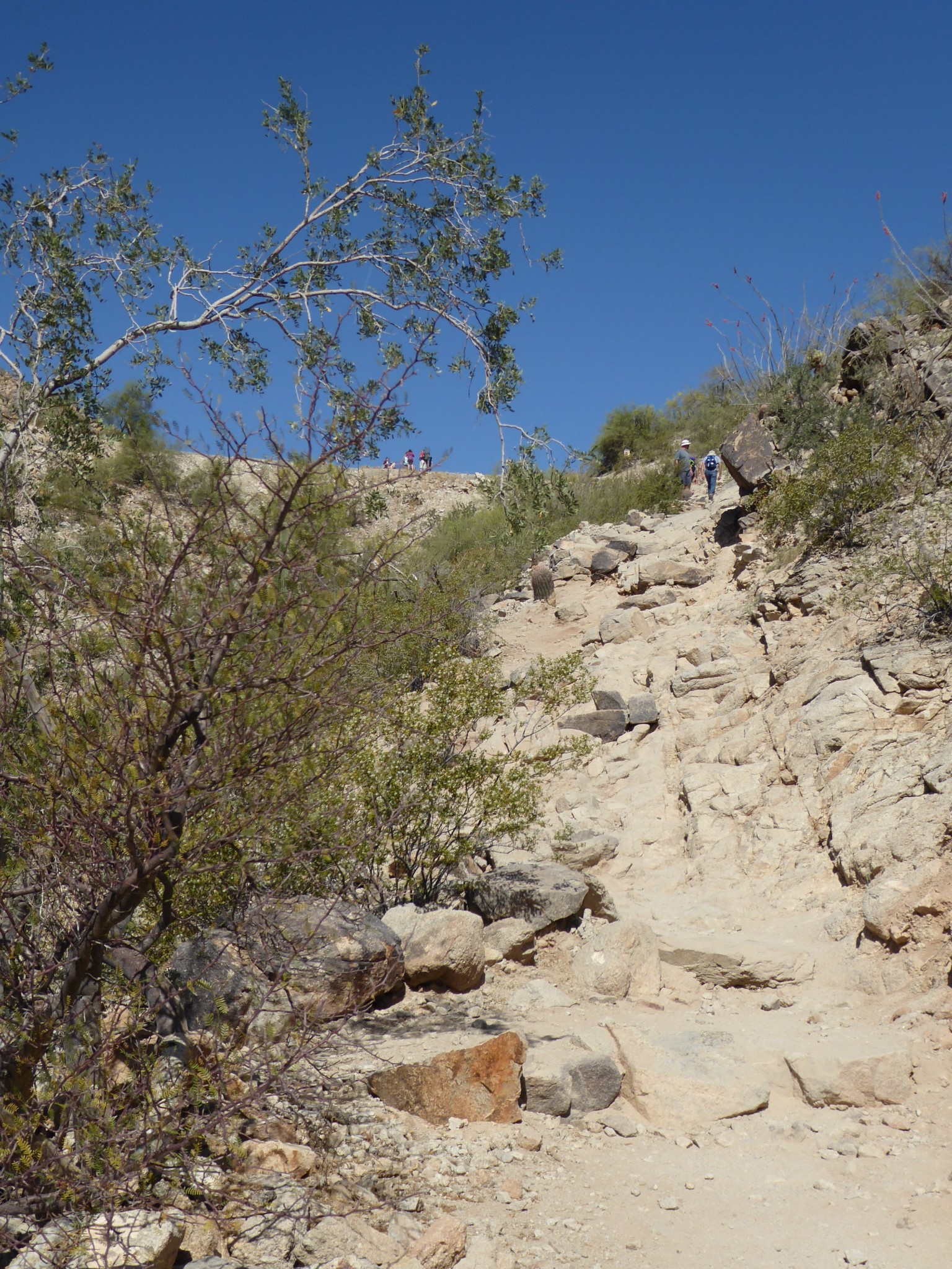
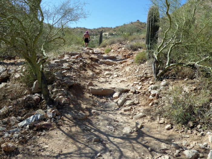
As you head back onto the trail, you’ll notice it becomes steeper and therefore a bit more challenging. At only one mile, Telegraph is a short hike but your legs will be working hard to help get you to the top of the mountain.
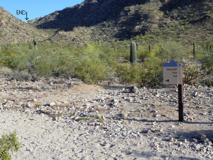
The beginning and end of Telegraph Pass
This area is nothing too technical or difficult, but if you’re a beginner hiker you could find this section more challenging and you may need to stop and rest periodically to catch your breath.

Telegraph beginning to incline
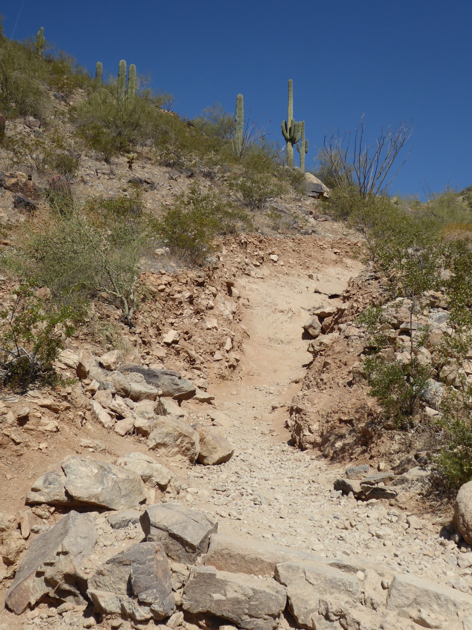
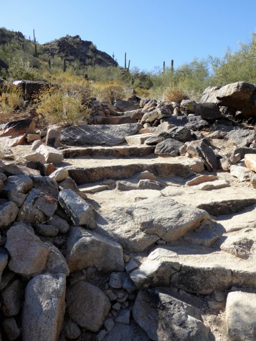
Once over the first steep incline the trail curves to the right and then you will see the final ascent that will take you to the top. This final portion is a smoother hike up (in that there are no big steps) but it does have a lot of loose gravel so be mindful of your footing — especially on the way down.

Final Portion of Telegraph Pass
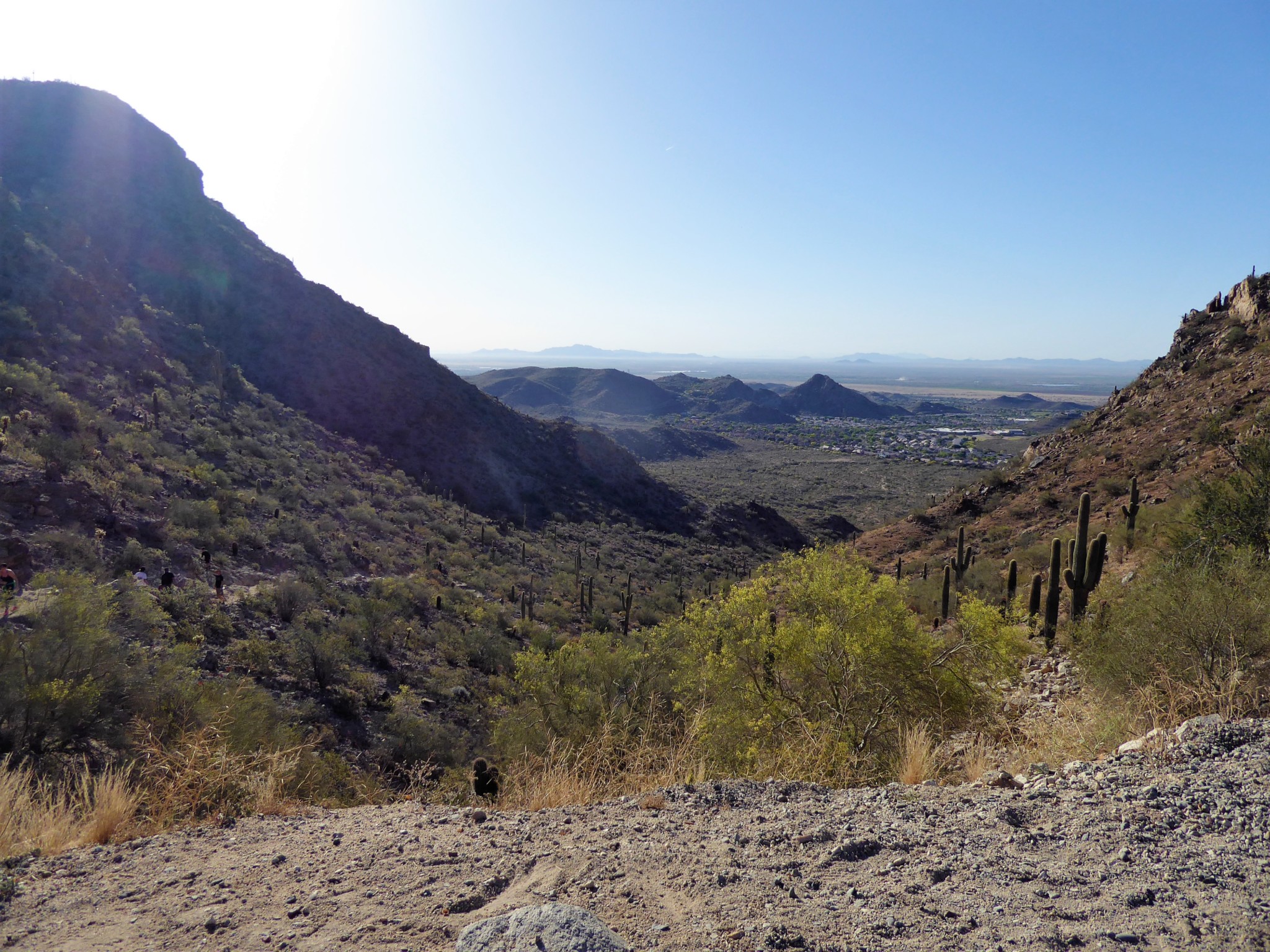
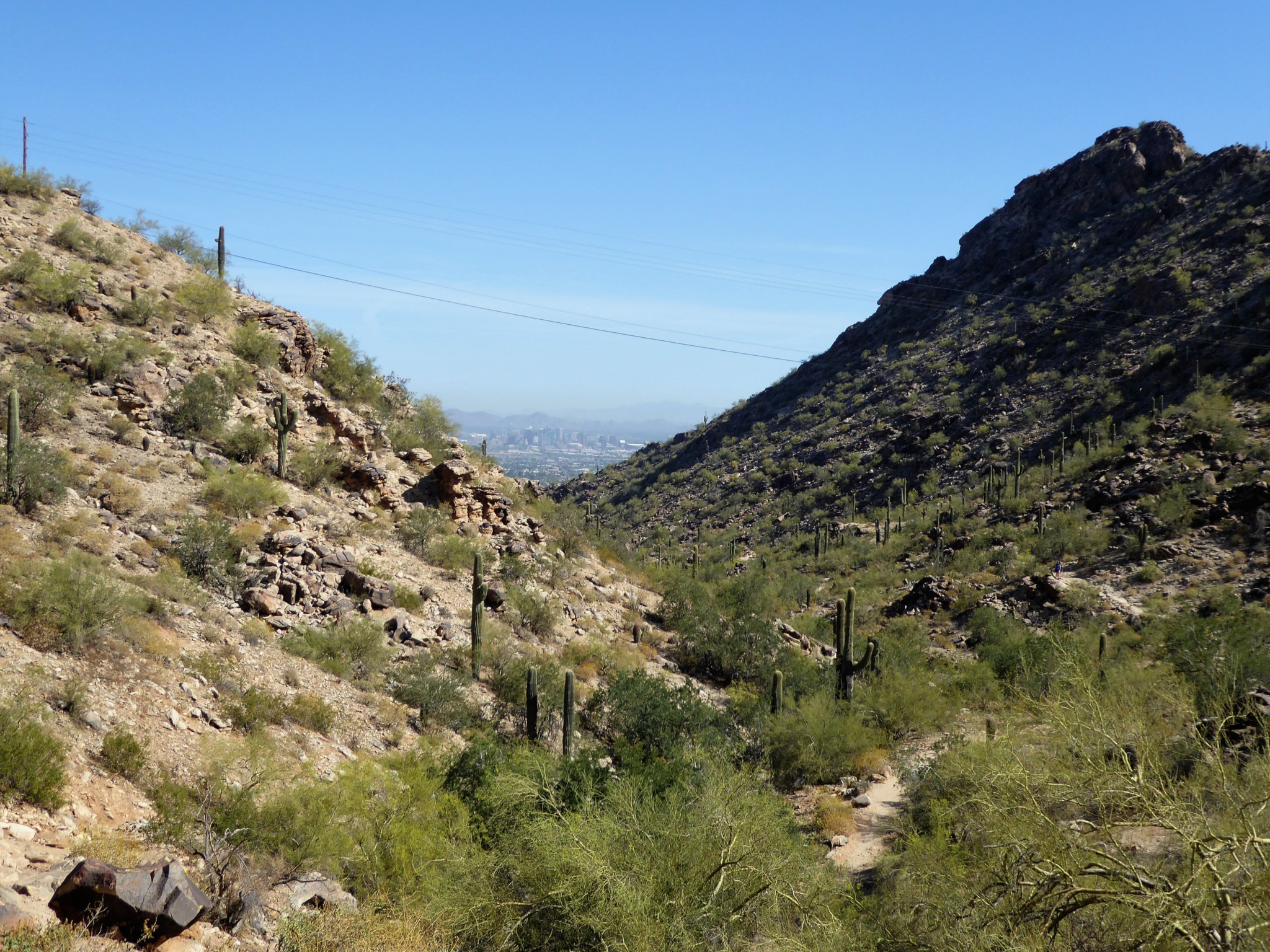
Once up this final portion, you will be greeted by Summit Road, which is the main road for vehicles to drive on throughout the park. As you turn around to look at the trail you just came up you will be rewarded with an awe-inspiring view.

View on top of Telegraph Pass
If you need a minute to catch your breath there is a bench located right here at the end to sit on, relax, and take in that view! While resting up here one can’t help but wonder if this could have possibly been a path the Hohokam took to mark the rocks located near the bottom of this trail.
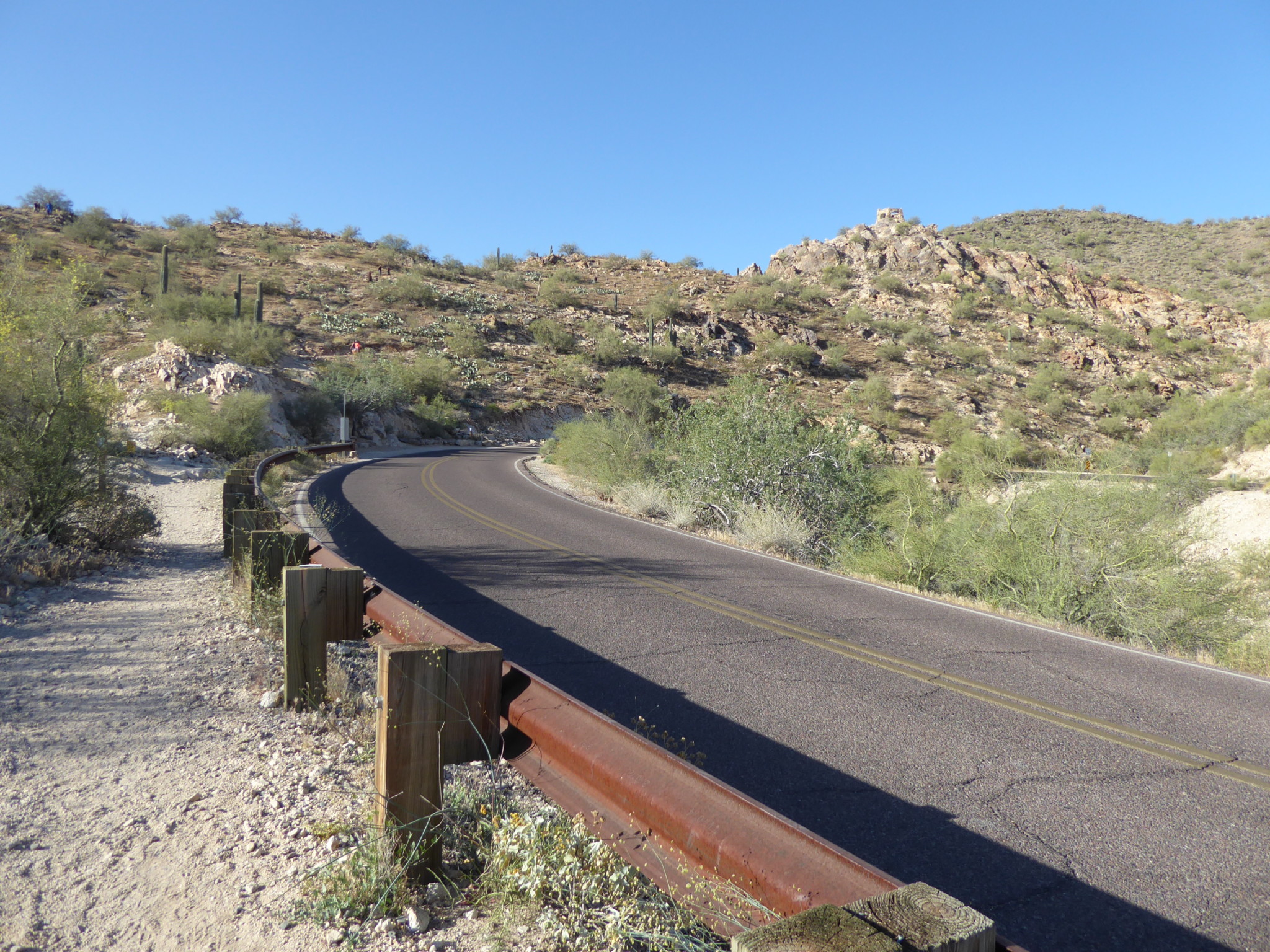
Alright, now let’s explore some more and get onto Kiwanis Trail. Walk left on the paved Summit Road, and follow the guardrail a couple hundred feet. The Kiwanis trail marker is located across the road after that guard rail ends.

Follow guard rail down to reach Kiwanis Trail

Notice trail marker for Kiwanis Trail across the street
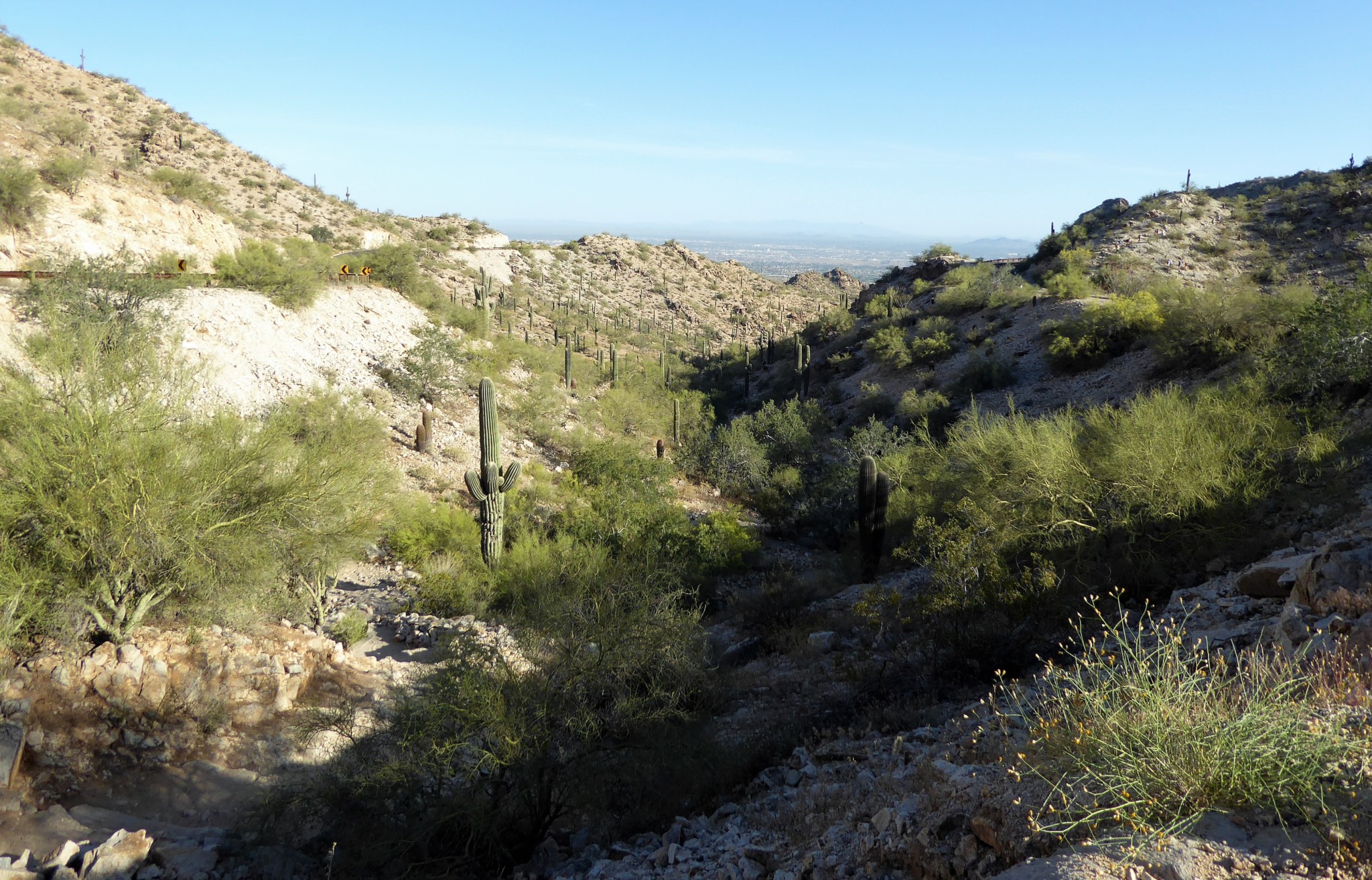
Kiwanis Trail is not as heavily used as Telegraph Pass and is great for both beginner hikers and those looking for a quiet and simple hike.
This serene trail meanders down a canyon with lots of wildlife to keep you company while also providing a great panoramic view of downtown Phoenix.
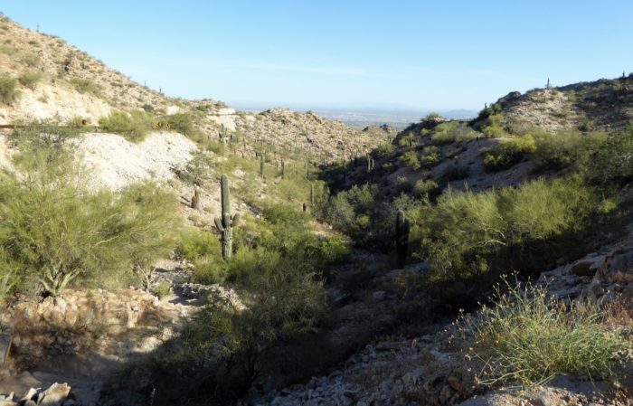
View overlooking Kiwanis Trail
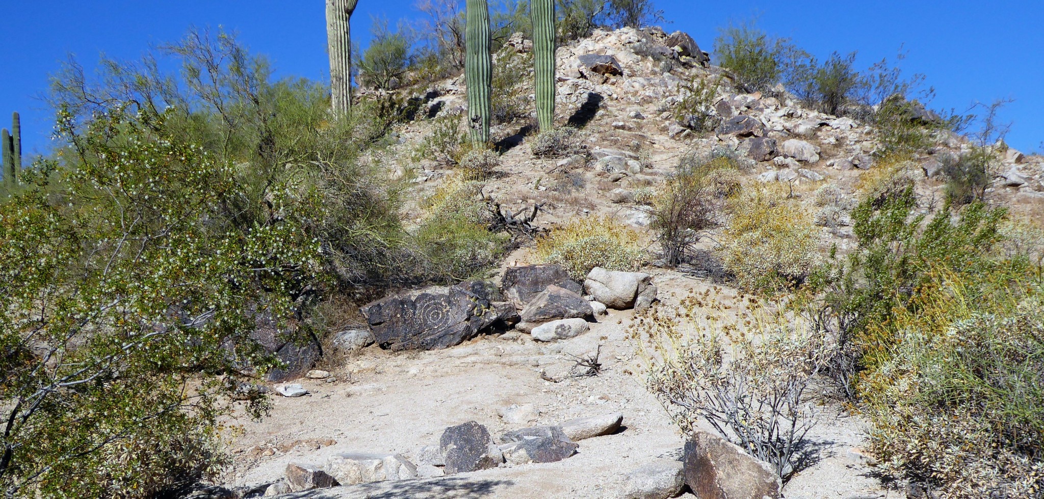
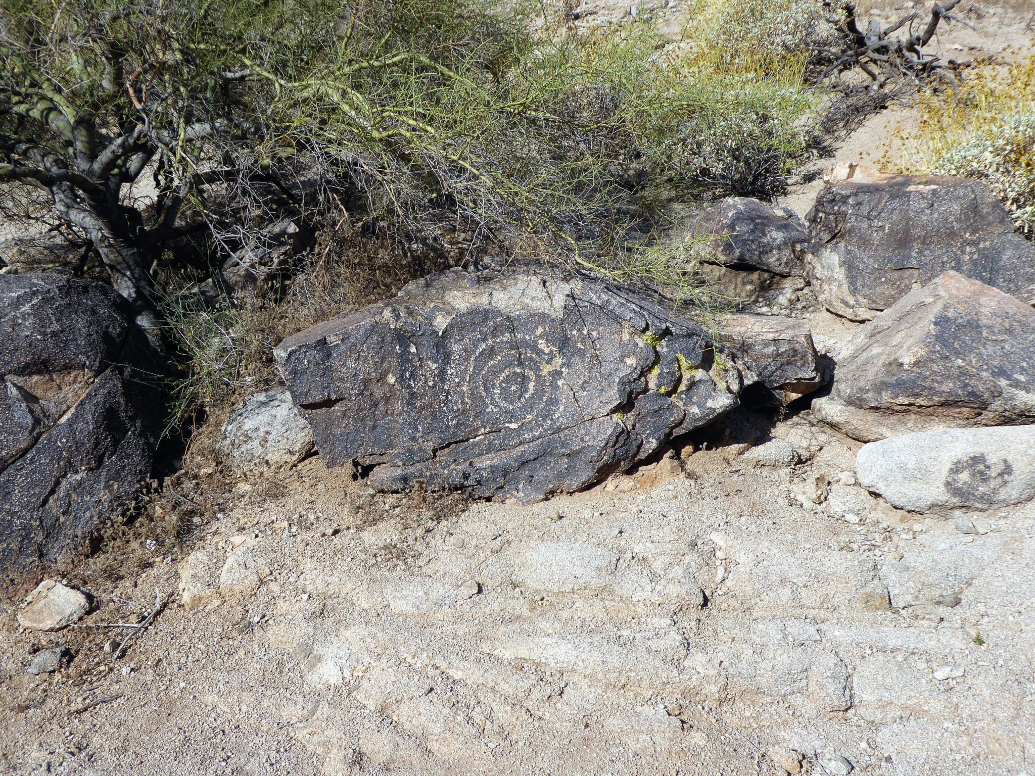
At a total distance of around 1.6 miles you will come across more Hohokam rock art. This area is not fenced off, but there is a yellow “area closed” sign, as an indication to hikers. As you look up towards the rock, you will immediately notice a huge spiral figure upon the rock. To the left of there are also more petroglyphs but it’s unclear exactly what the Hohokam etched in the stone, and better left to your imagination.

Hohokam Art on Kiwanis Trail
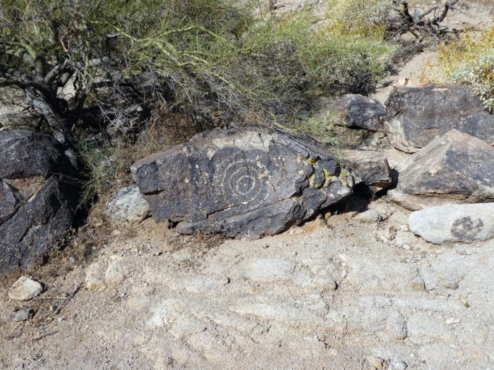
Hohokam Art on Kiwanis Trail
As you reach the end of Kiwanis trail, you will come across to a parking lot. This is the parking area for Kiwanis trailhead and is located right within the South Mountain Park Preserve, which is the main park for South Mountain.
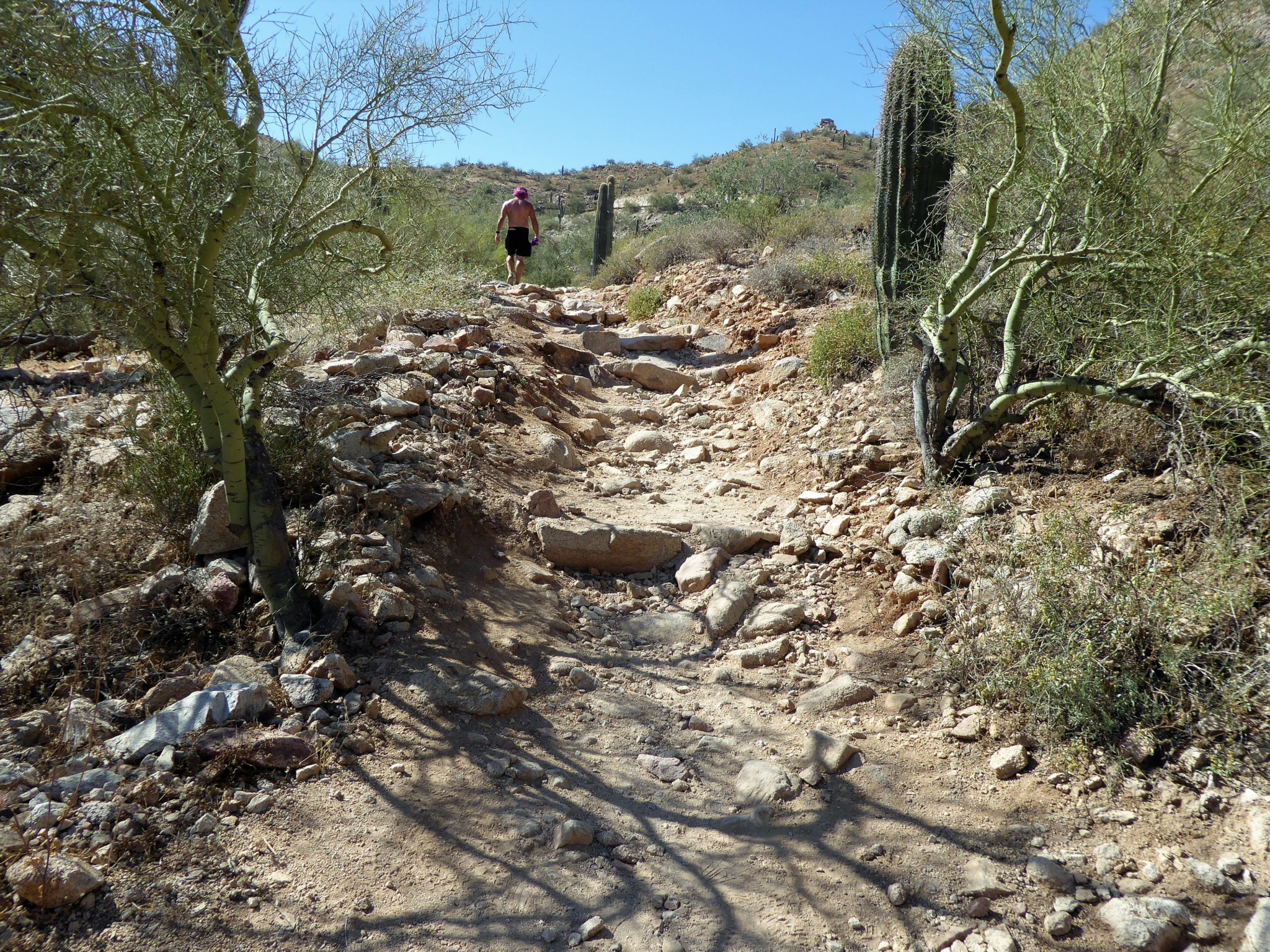
As you now turn around and head back you’ll now notice that Kiwanis is gradually inclining. There is a gradual elevation change of about 529 ft that you will be walking up on your return to Telegraph Pass.
Incline up Kiwanis Trail

Again, it is nothing strenuous or difficult — just something to be aware of on your return trip.
Both of these trails are also great for spotting a lot of wildflowers in the Spring, especially Kiwanis Trail.
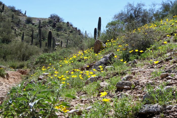
Wildflowers along Kiwanis Trail
Tags: Arizona, dog-friendly, hike, Hiking, history, nature, outdoors, petroglyphs, Phoenix, rock art, South Mountain, Trail Write-Ups, wildflowers