Tapo Canyon Trail is a loop trail located near Simi Valley — just across the Ventura County line but still close enough for many folks in Los Angeles County, too. This dog-friendly route makes for a great casual hike with enough elevation for a good workout, and enough flat trail to give plenty of breaks. Tapo Canyon Trail is mostly exposed and can be done year round, but bring plenty of water and sun-cover in the summer — and consider getting started nice and early.

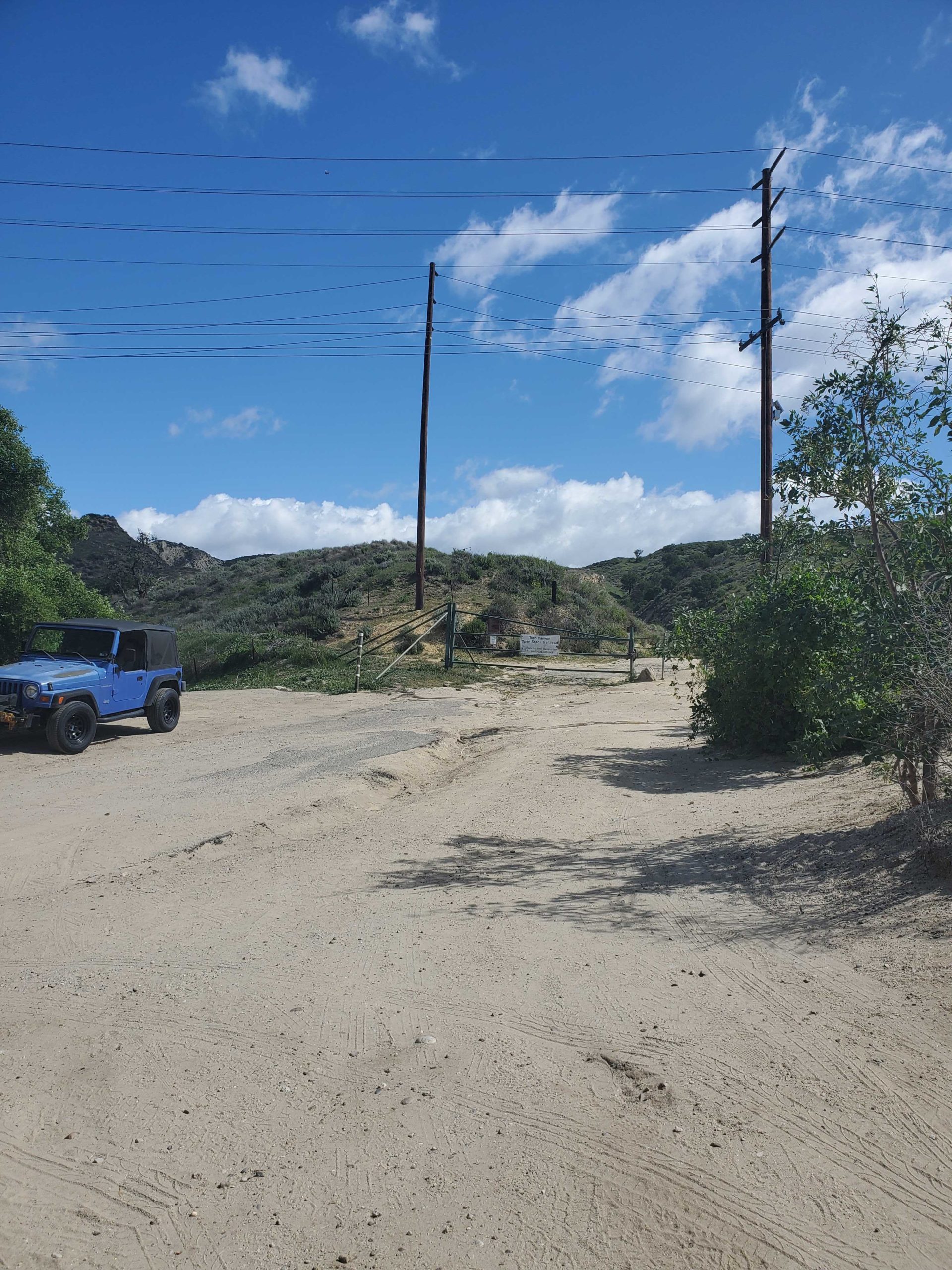
Street parking can be found on Tapo Canyon Road at the Tapo Canyon Trailhead, but be sure to avoid the “no parking” area right in front of the gate at the beginning of the trail.

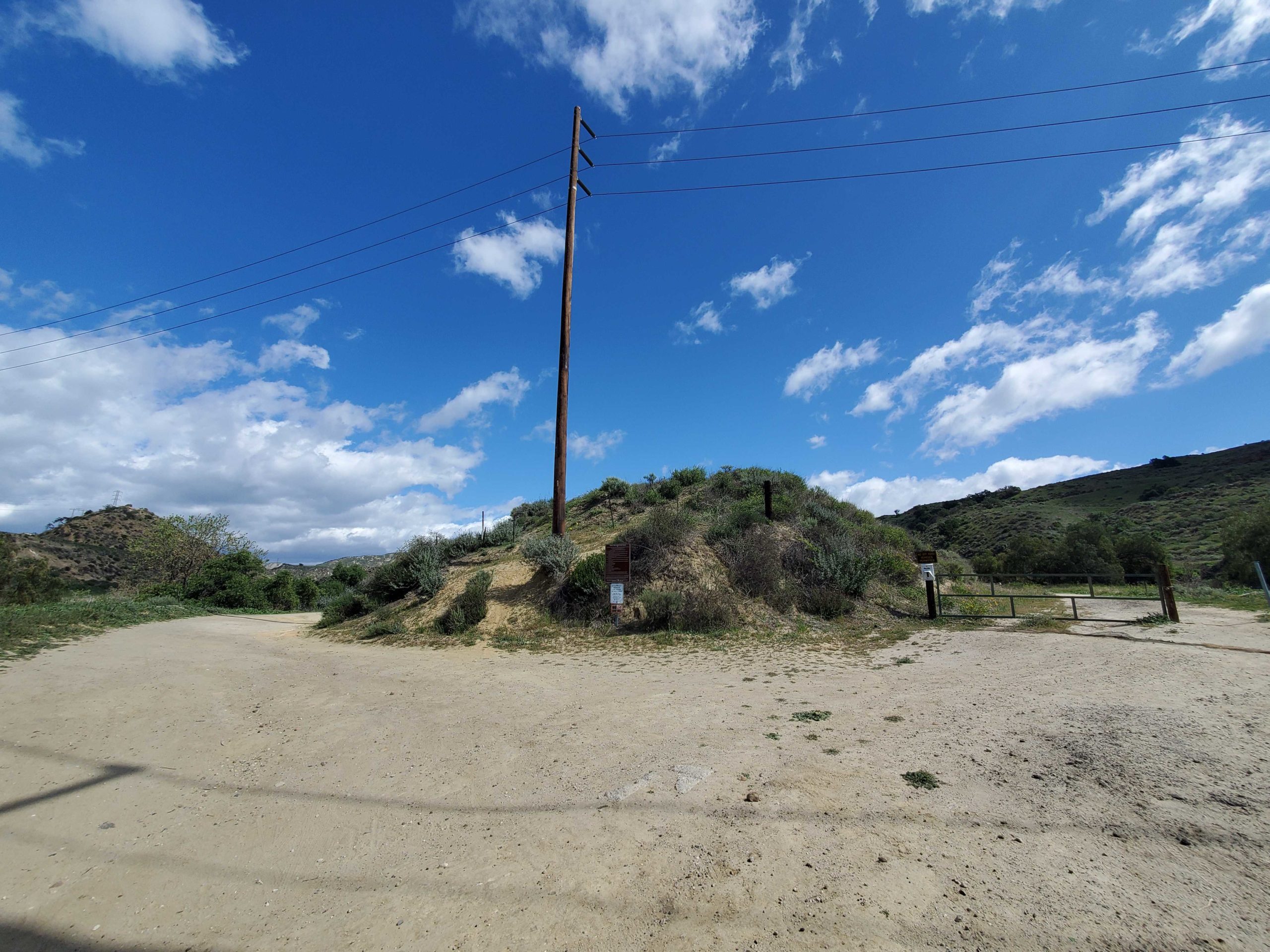
The start of the trail splits in two directions. Following the trail to the east will lead to a small network of trails that go around Marr Ranch Open Space. To continue on Tapo Canyon trail, follow the trail to the north.
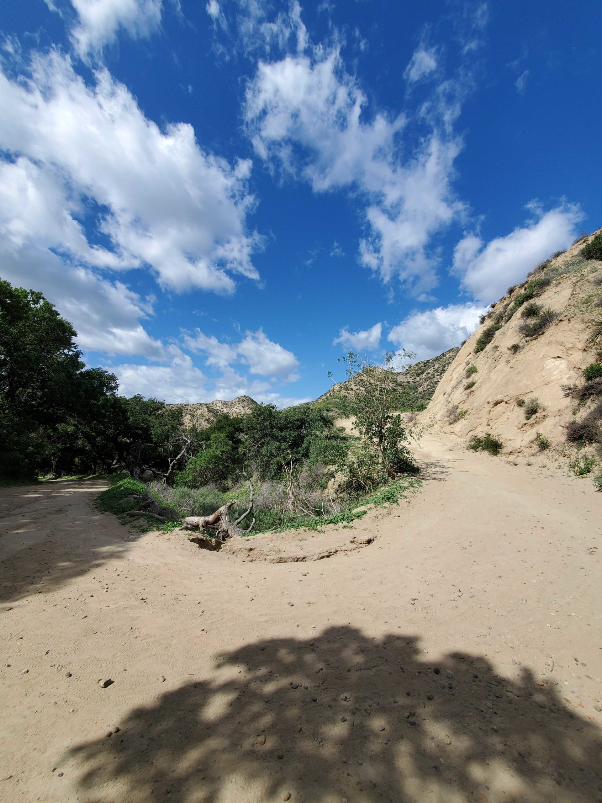
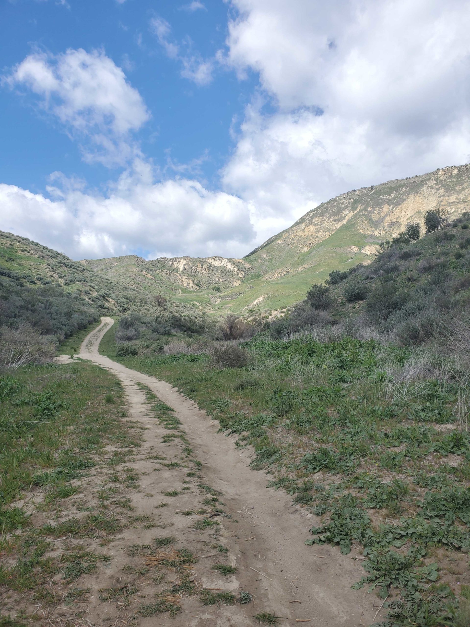
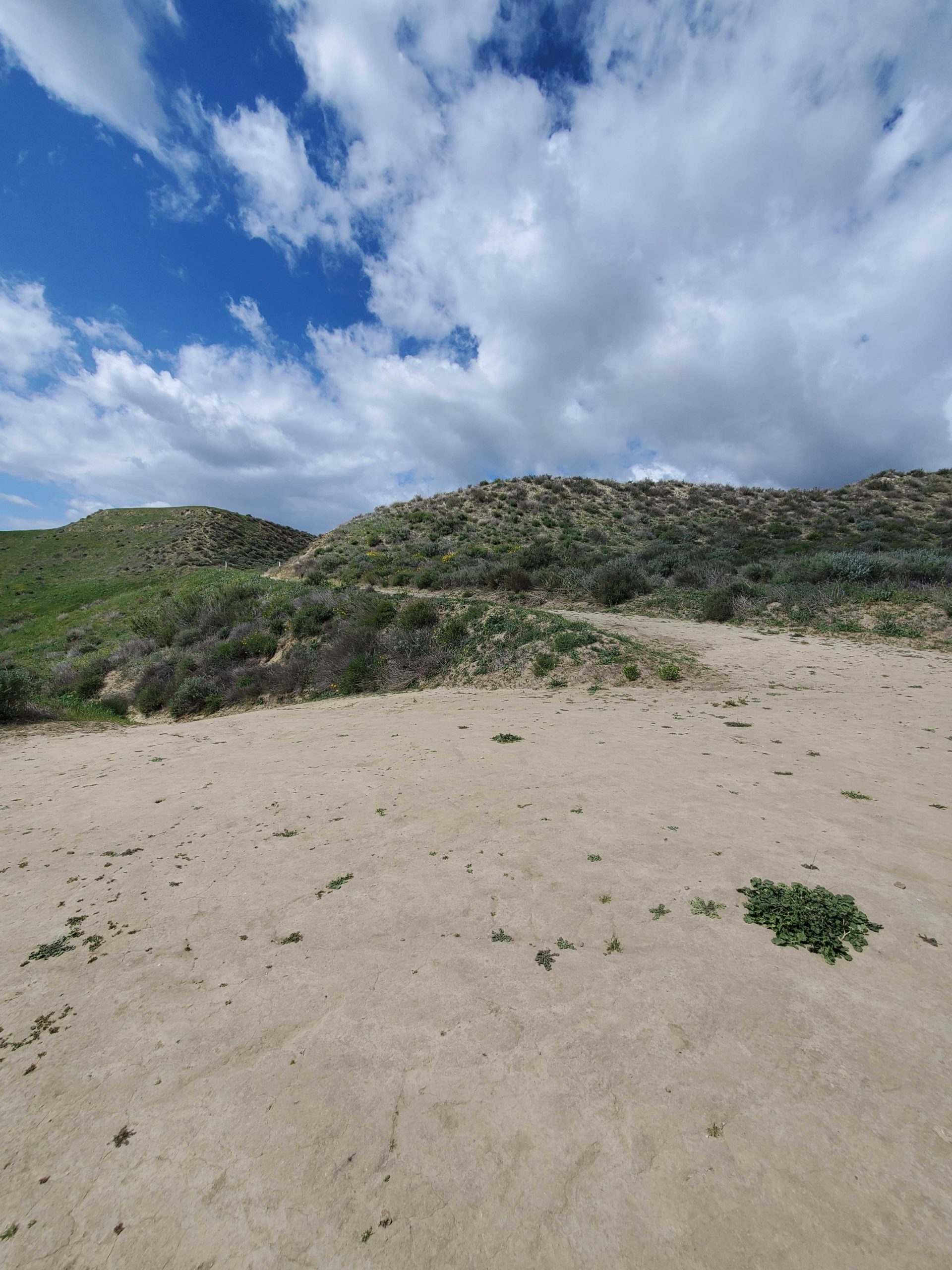
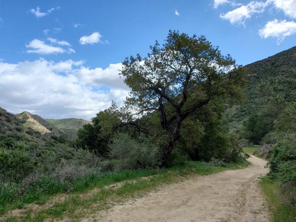
At .4 miles, you quickly escape the view of pavement and cars as the hike starts to open up onto a narrow dirt trail. While you’ll remain at a flat elevation for the beginning of this hike, you’ll see the rolling hills start to appear around you as a tease for what’s to come later.
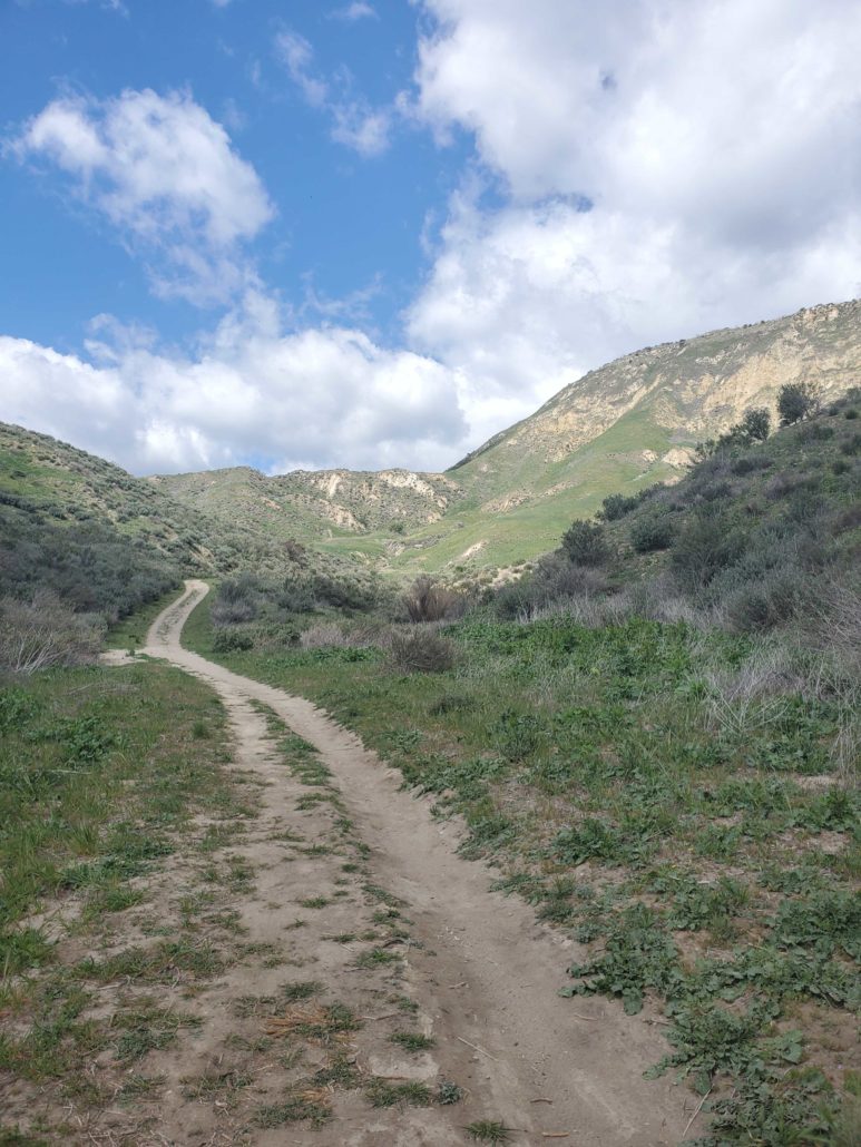
Continuing along the path, you reach a fork at .9 miles. The trail to your north is a private road, so stay on Tapo Canyon Trail to your east. This is a great spot to take a potential break before the upcoming elevation gain in the next section.

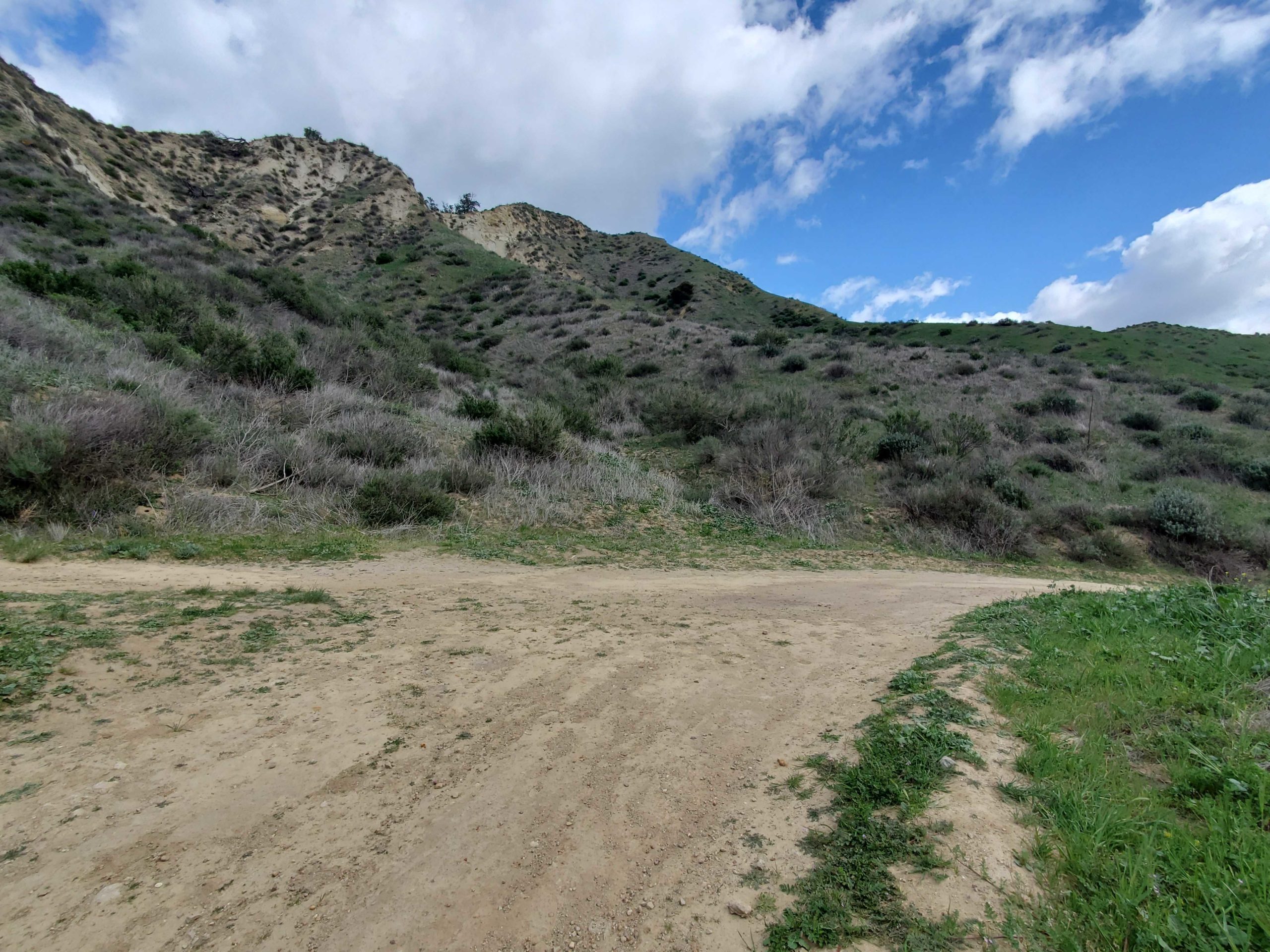
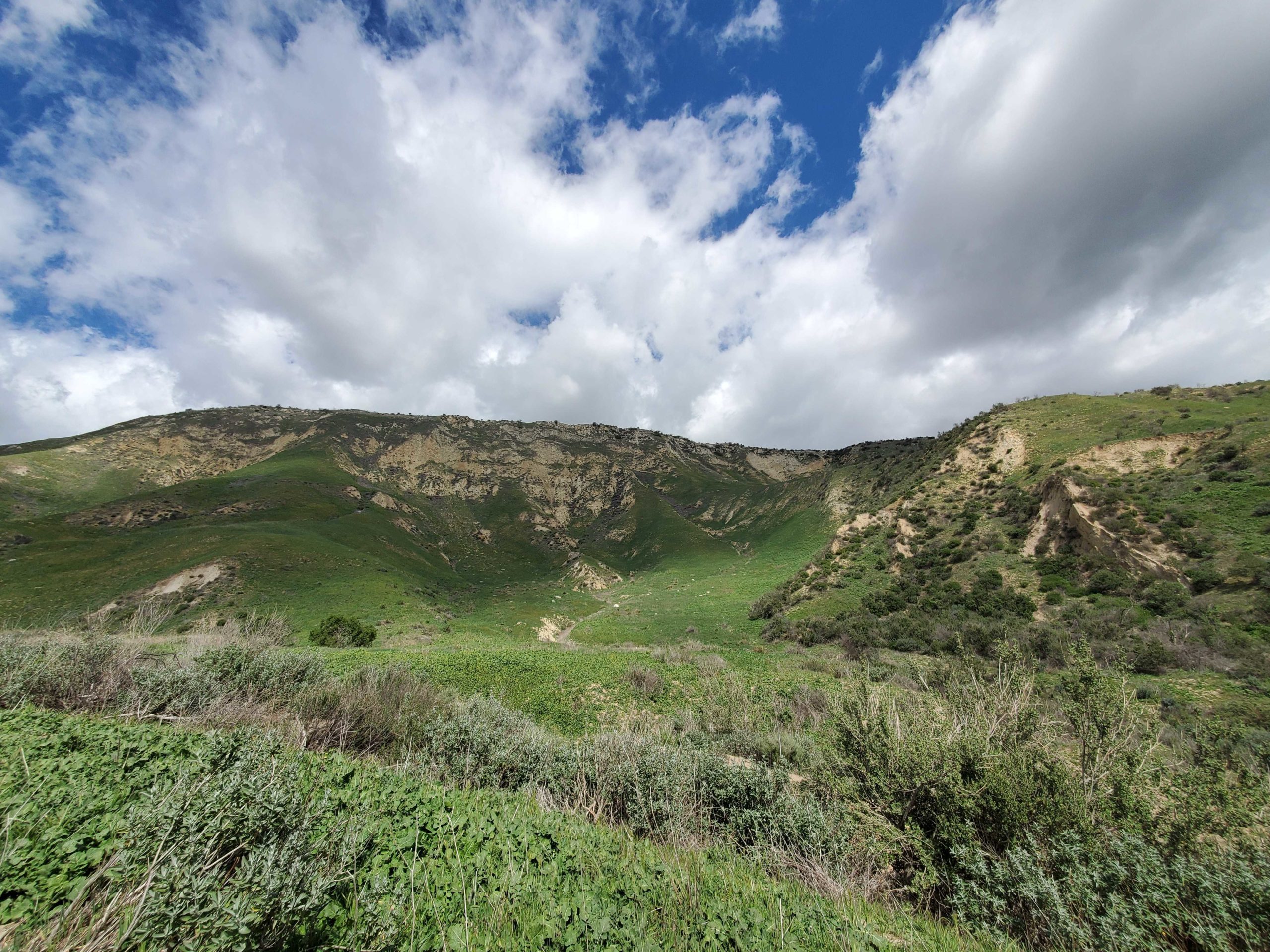
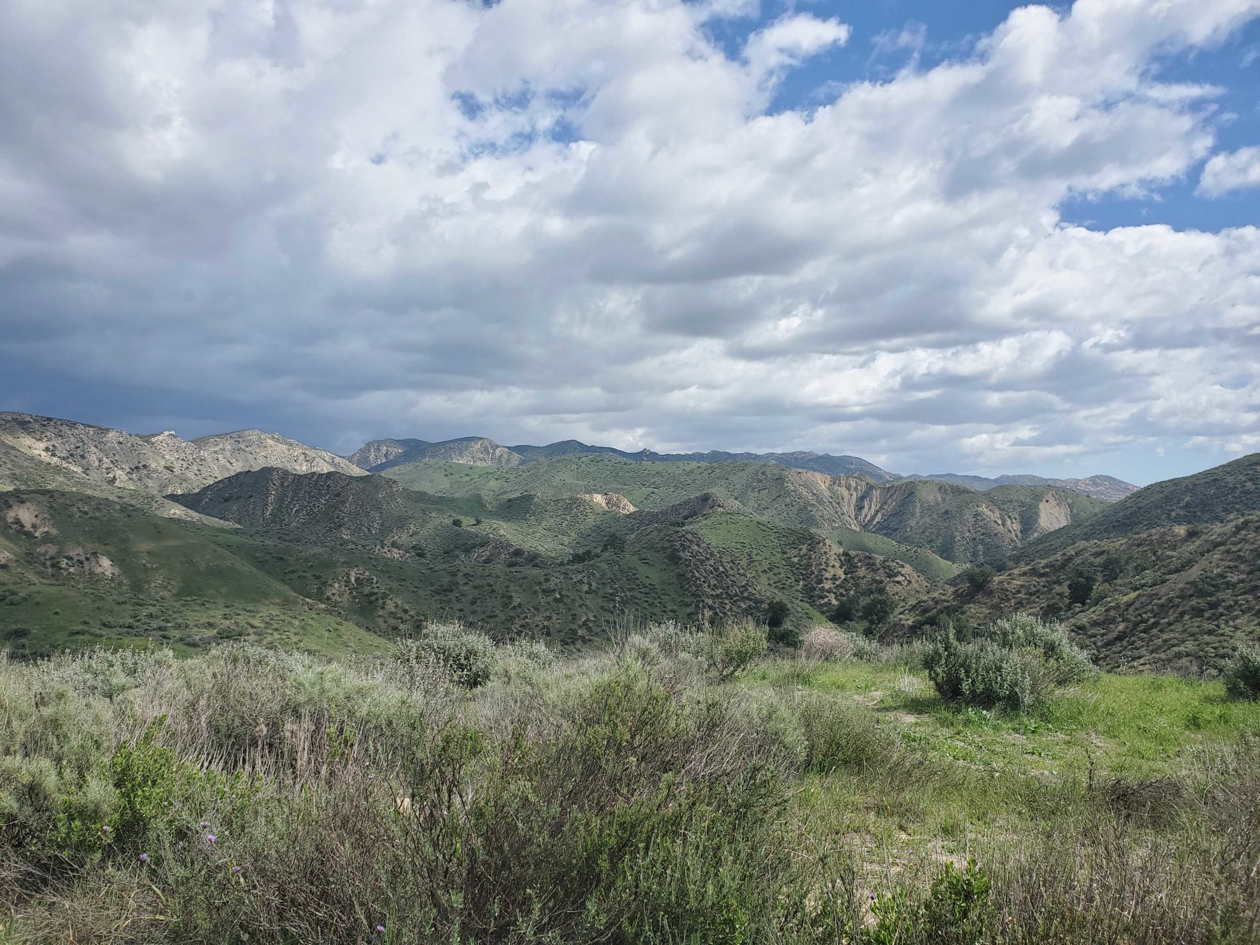
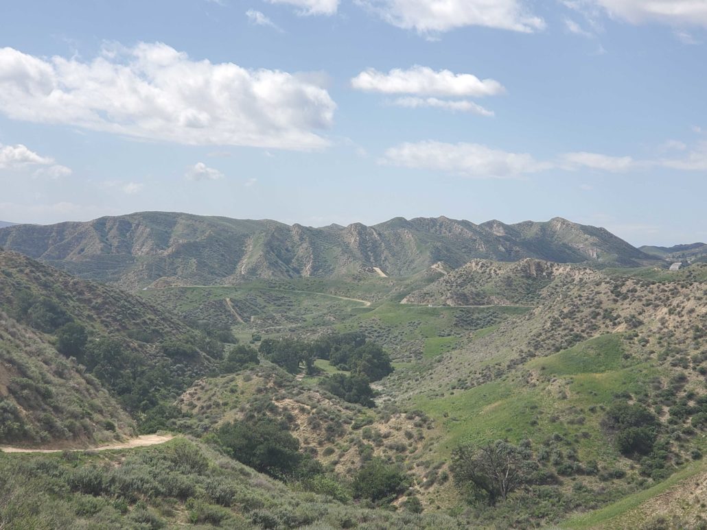
Over the next .5 miles, the trail gains almost 250 feet of elevation, so take breaks as needed. This section of the trail is fully exposed, so adjust accordingly if you do this hike in summer. As you make your way up the canyon, you’ll be greeted with a full expansive view of the rolling hills that were teased earlier.

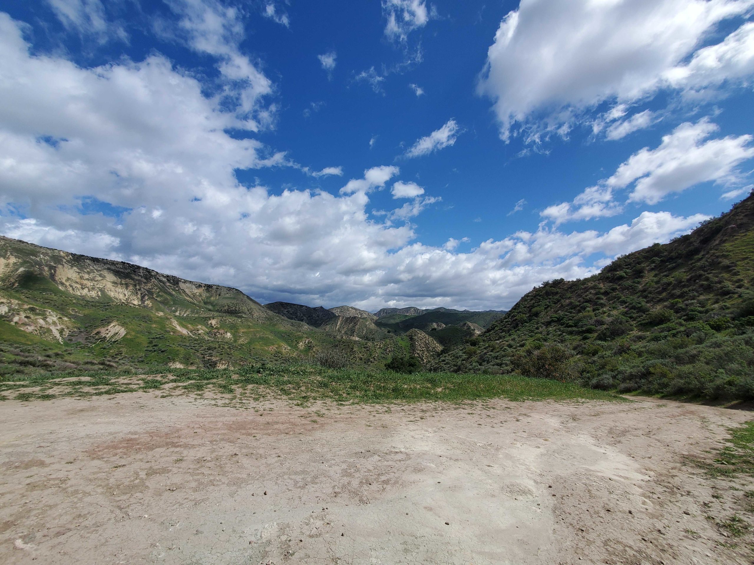
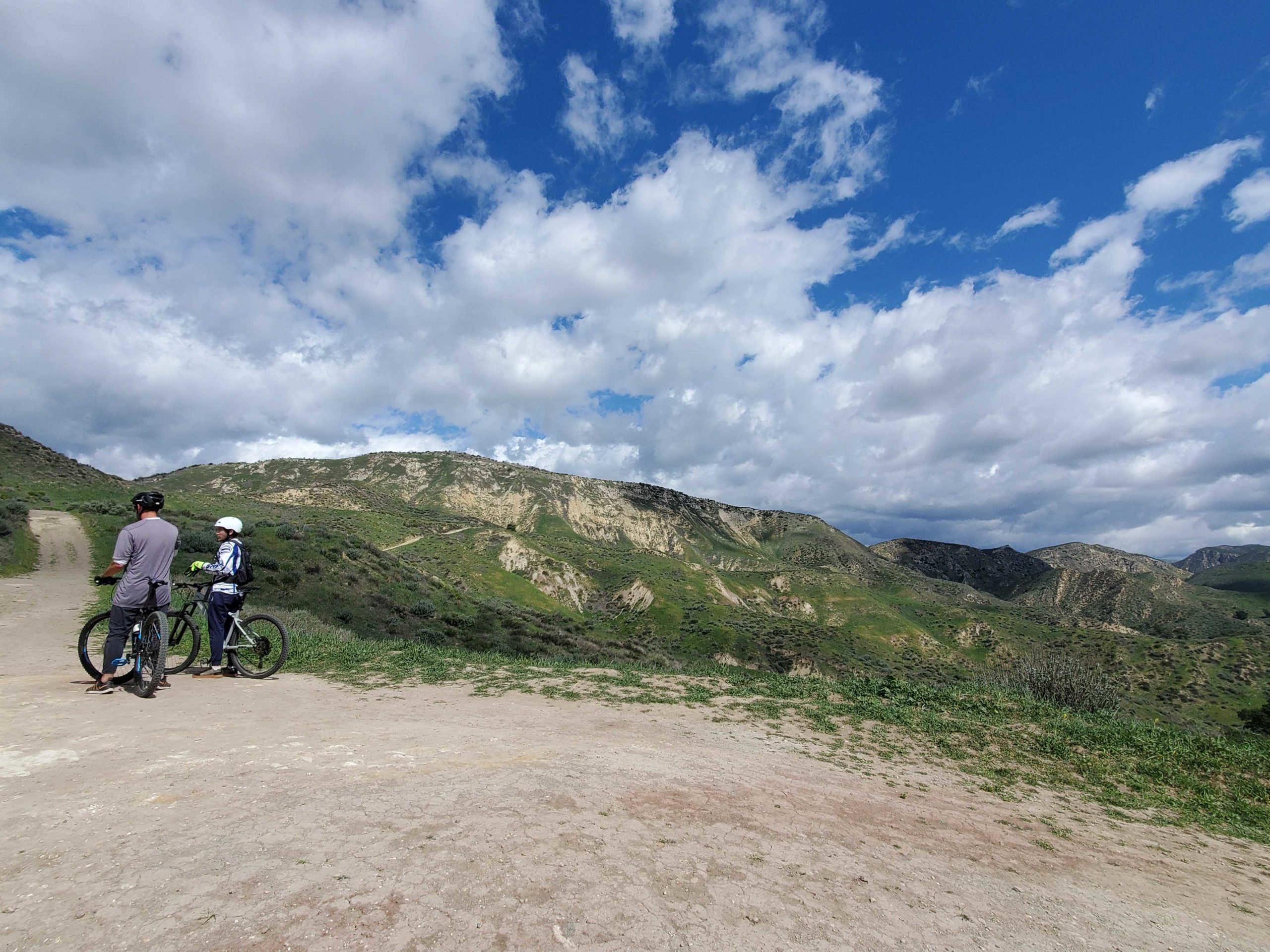
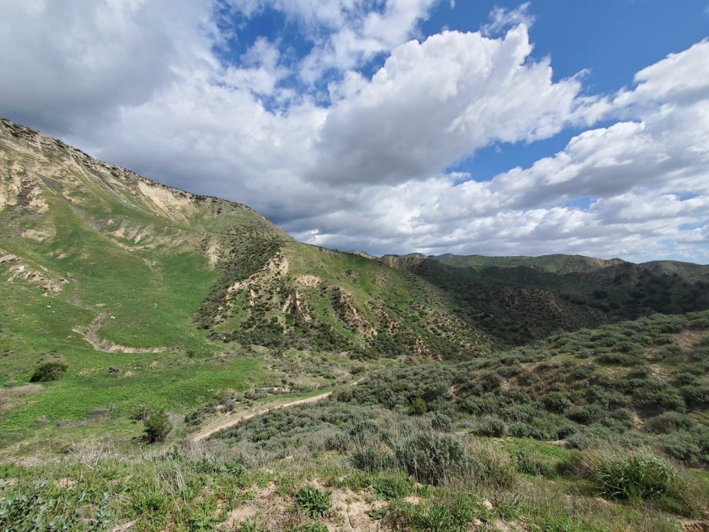
At 1.4 miles, you’ll reach the loop section of the trail that leads out and around the surrounding hills. You can head either direction on this loop, with the trail to the north continuing uphill right away, while the trail to the east drops down into the canyon. This loop of the trail and the surrounding offshoots are popular among mountain bikers, so keep an eye and ear out and give riders right of way.

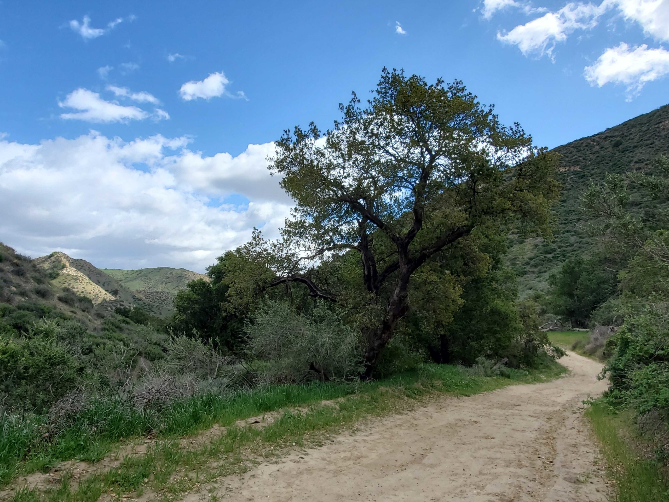
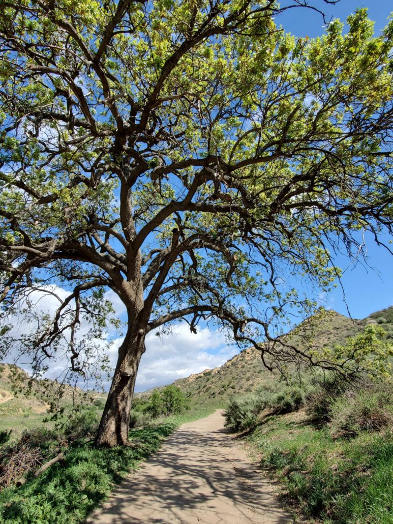
Continuing on the loop to the east quickly descends almost 300 feet of elevation over .6 miles as you drop into the canyon, and the only shady section of the hike. You quickly lose the view of the surrounding hills as they’re replaced by a canopy of trees and a noticeable drop in temperature. This section of the loop has a number of blind corners, so stay alert for any runners or mountain bikers.
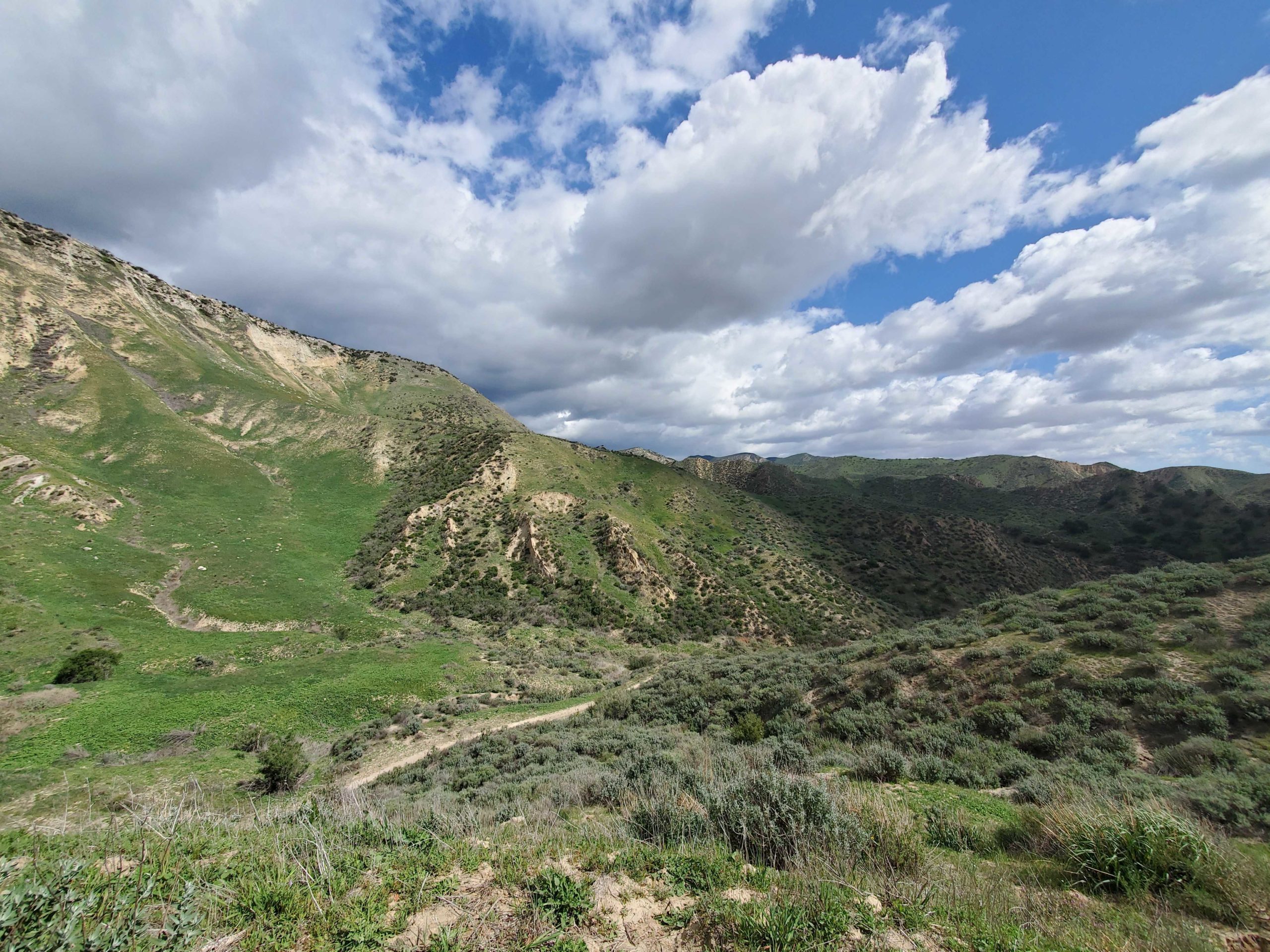
At 2.1 miles, the trail forks again. Following the trail to the east will connect to Chivo Canyon Trail, a 3.2 miles out and back hike in the nearby Marr Ranch Open Space. The trail to the north continues along the loop as you begin to gain back over 400 feet in lost elevation from earlier.

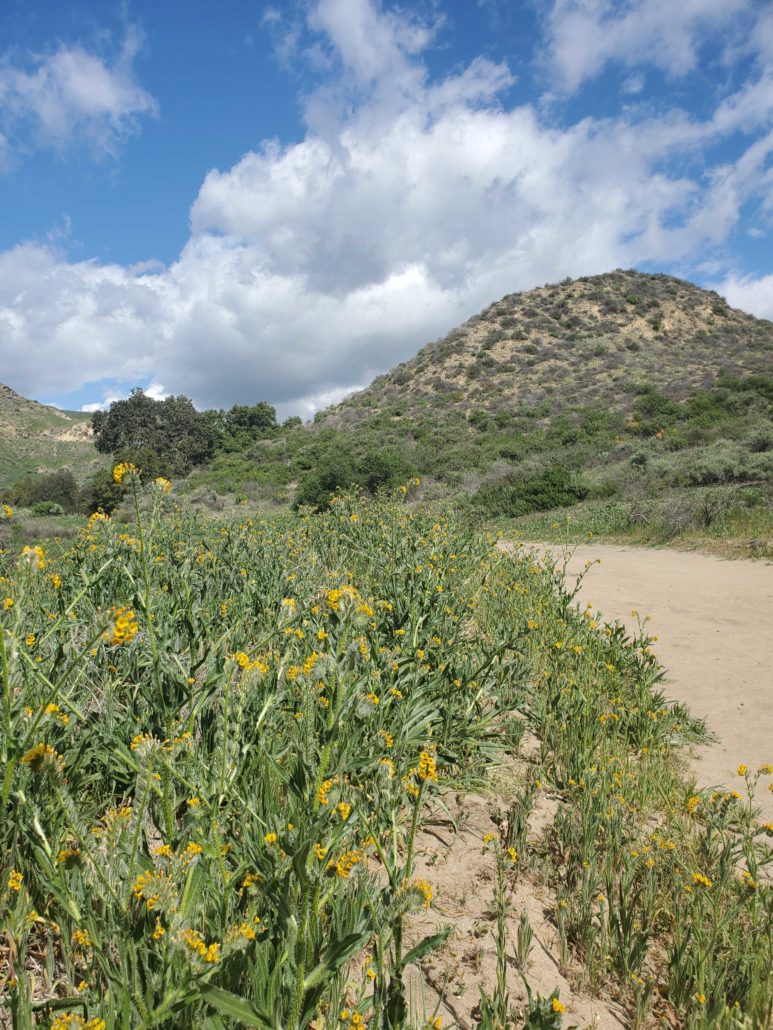
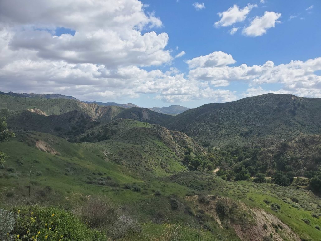
As you begin the trek uphill, the route narrows through rolling hills on either side. The spectacular greens of the grass and foliage stand out in stark contrast to the browns and tans of the exposed canyons. At 2.6 miles, the trail starts southwest to near the beginning and end of the loop.
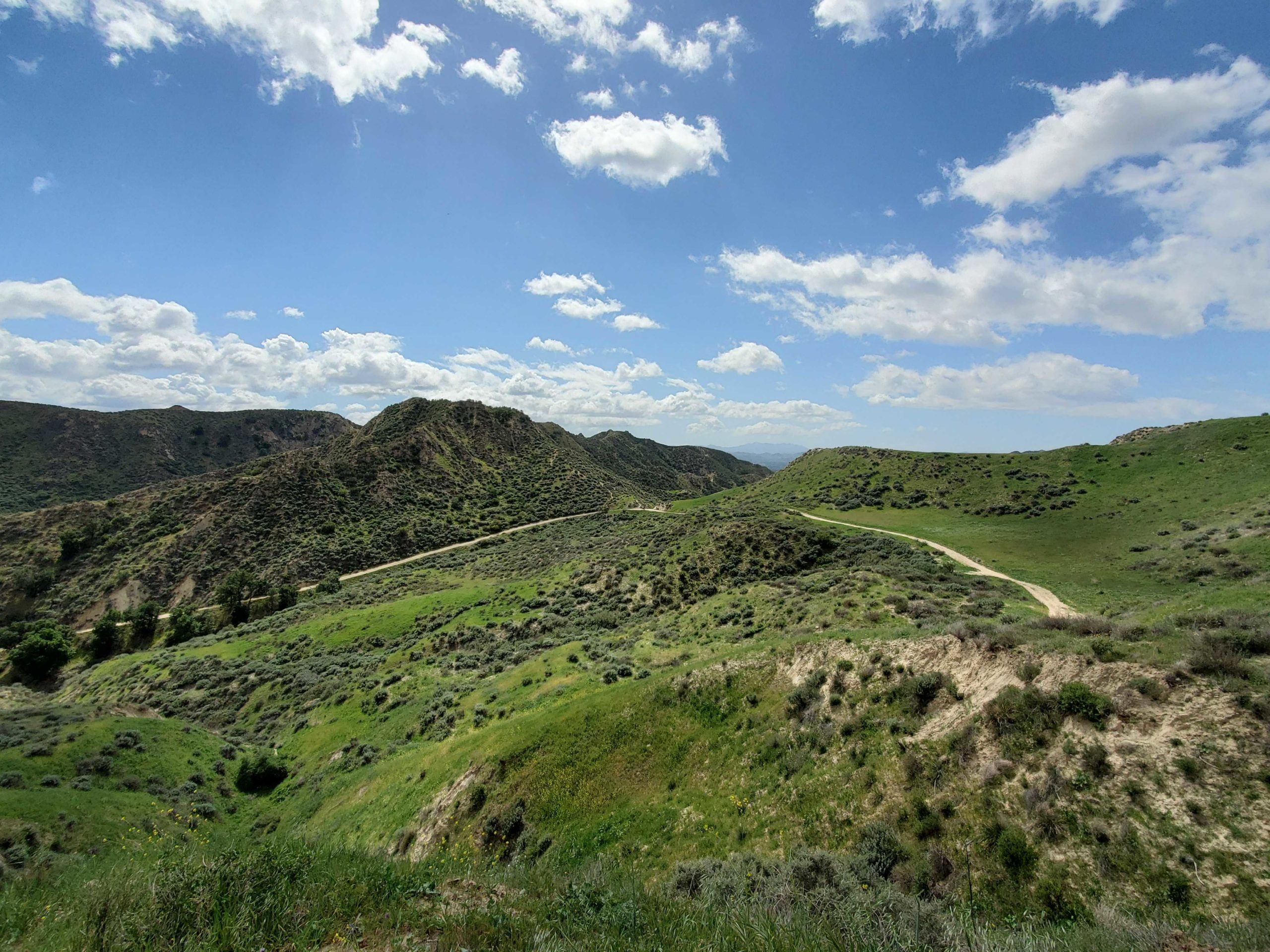
Make a push for the final 150 feet of elevation to get to the highest point in the hike. Here, the trail opens up to a viewpoint of the entire winding canyon loop and surrounding hills.
After enjoying the views, continue on the trail to the south to finish the loop. There is a noticeable trail to the north, but this is a small network of private roads and should be avoided.
When you reach the beginning of the loop, get back on the main trail to the west to return to your car and wrap up your hike in Tapo Canyon.
Tags: dog-friendly, Hiking, Loop Trail, Los Angeles, southern california, Tapo Canyon