About 25 miles outside of Santa Barbara, Cachuma Lake Recreation Area has a mecca of outdoor activities to help restless city dwellers get their nature fix. Tucked between the San Rafael and Santa Ynez mountains, it offers a myriad of camping and water-related activities, all with Santa Barbara’s beautiful weather. And for those looking to stretch their legs, the Sweetwater trail is a convenient and picturesque option. Covering a cumulative 672 feet of elevation gain over five miles, this out and back trail takes hikers along Cachuma Lake and through dense forests before reaching the Bradbury Dam lookout. It’s a perfect half-day activity for campers and those who are just passing through.
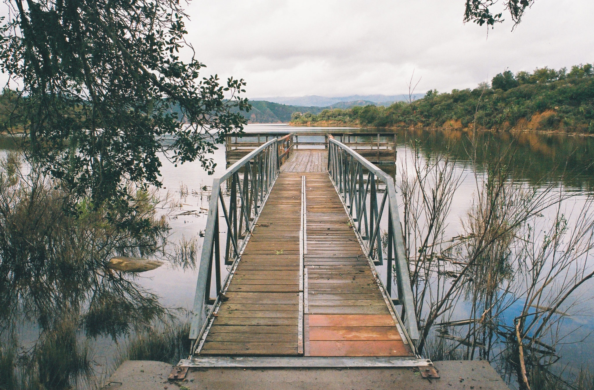
At the trailhead, there are several parking spots, a portable toilet, and a dumpster. The first tenth of a mile routes you along a concrete sidewalk to a fishing dock and picnic tables. Lots of families seem to gather in this area, as it’s the most accessible part of the hike. Continuing on, your path turns to a standard single-track trail.

The fishing dock at the start of your hike. Shot on Kodak Ultramax 400 film.
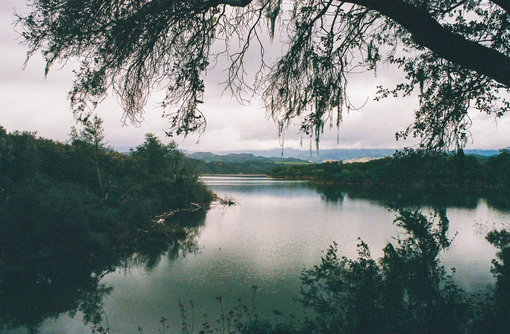
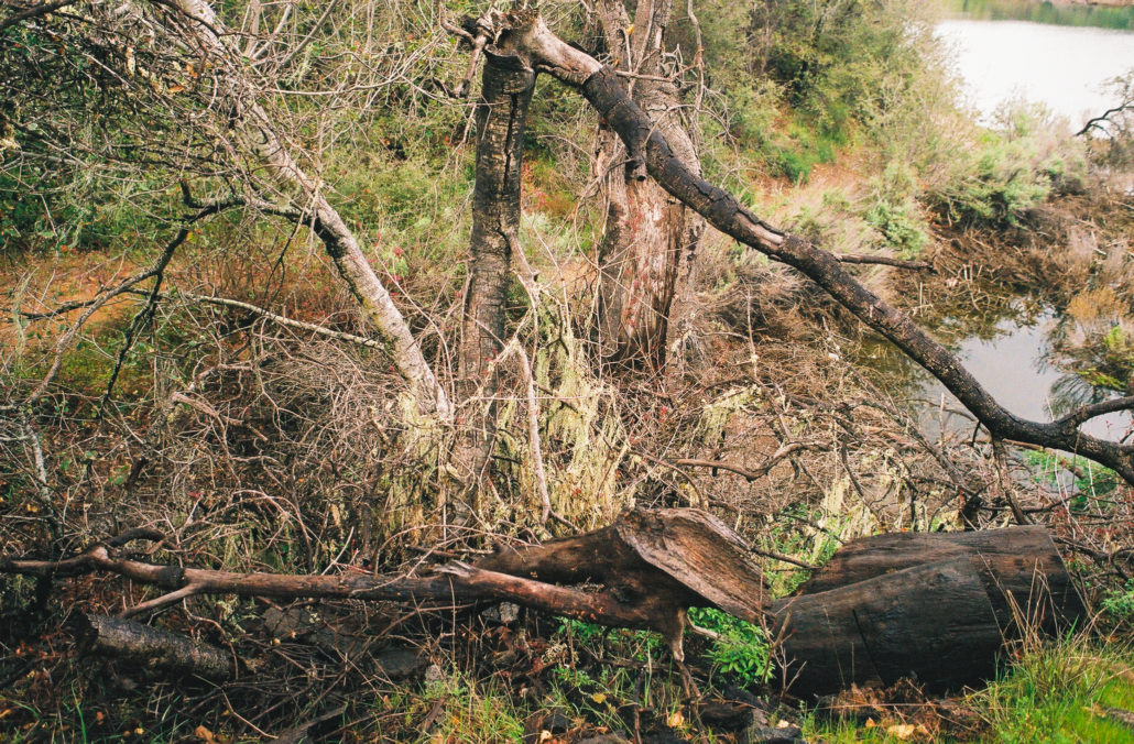
For the next 0.6 miles, you’ll walk right next to the lake on a relatively flat trail a few feet above the shoreline. So close to the water, the trail is full of life. Some of the few plant and fungi species we saw here included oak trees, California sagebrush, Buckbrush, and Lace Lichen. And the day that we went, there was a slight drizzle and low-hanging clouds, giving our hike a moody, pacific northwest feel – a stark contrast from the more arid environment that dominates Southern California.
Lace Lichen covers many of the plants close to the lakeshore. Shot on Kodak Ultramax 400 film.
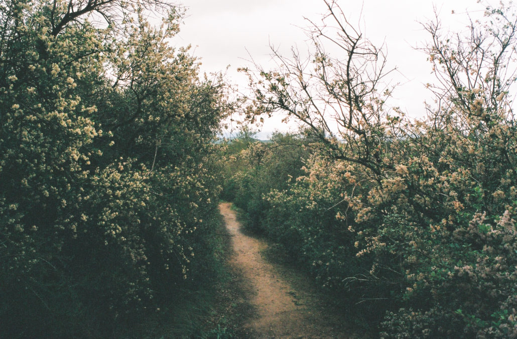
When we hiked this trail in early March, the Buckbrush was in full bloom. Shot on Kodak Ultramax 400 film.
Because of the large vegetation growth and steep drop-offs, finding a beach to relax at is difficult. However, there are still plenty of areas to take in views of the lake and cast a line if you remembered to bring your fishing pole. In fact, we ran into several fishermen trying their luck right off the trail.
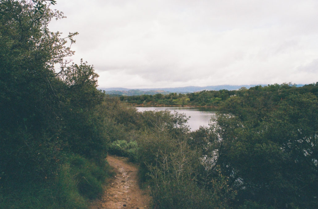
Views of the lake from the trail. Shot on Kodak Ultramax 400 film.
As we were hiking, it was interesting how stark the contrast was between the abundance of natural life and striking signs of human development. So close to California State Route 154, the drone of cars passing by was ever-present – equally as noticeable were the birds chirping overhead and frogs croaking down by the lake. And jutting out from the dense foliage were several powerlines. This hike is not an escape from civilization. Still, it feels miles away from city life.
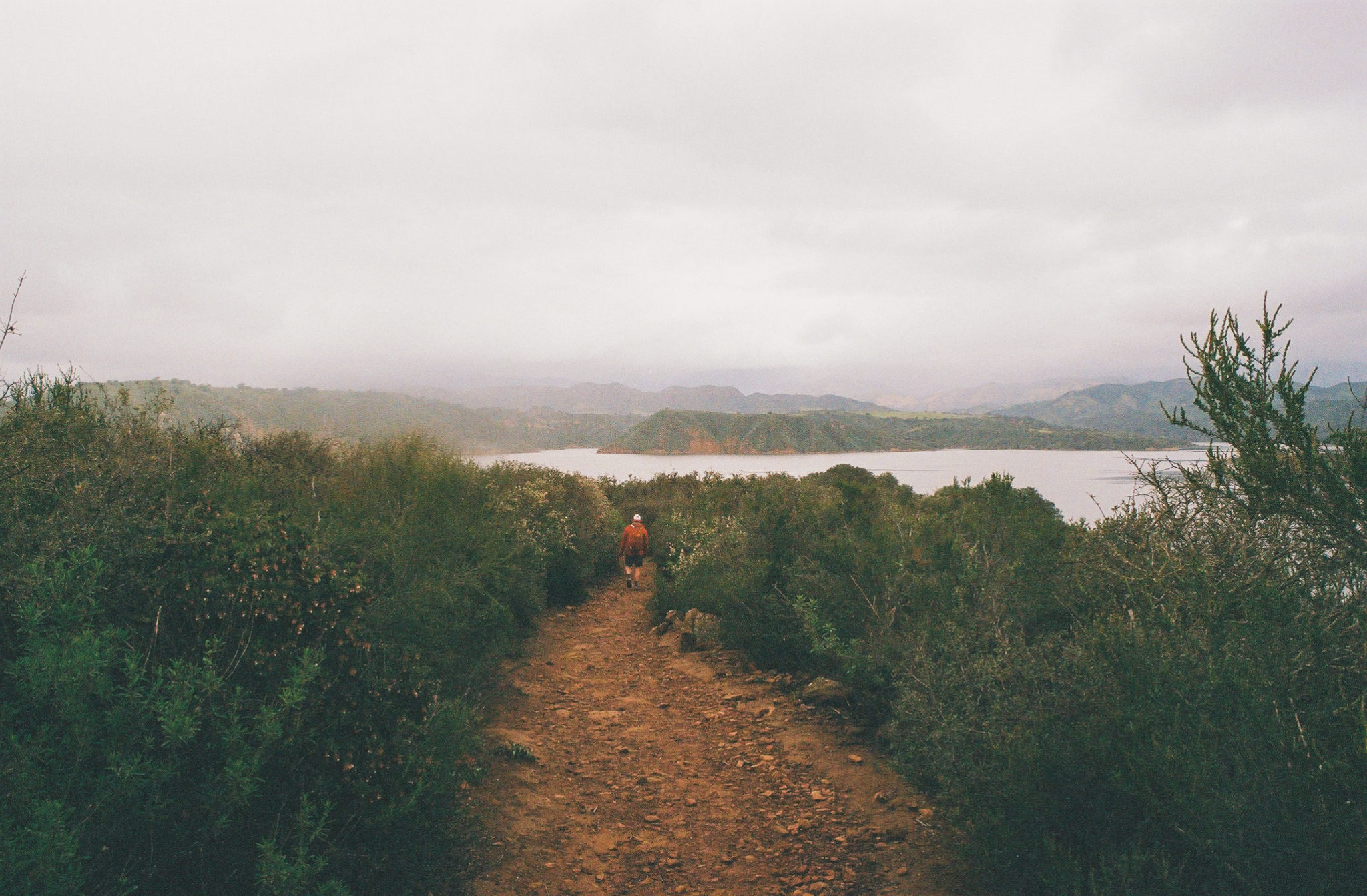
Three-quarters of a mile in, you begin to leave the lakeshore and venture up and into more dense vegetation. At mile 1.2 you will reach a high point, granting you expansive views of Cachuma Lake and the San Rafael Mountains. You then gradually begin to descend, and your view becomes obstructed by foliage. It was also here where we noticed several thriving poison oak shrubs.
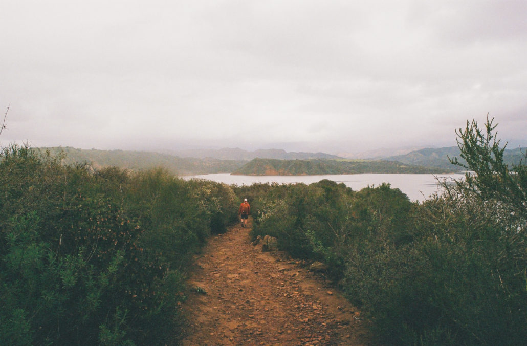
Cachuma Lake and the San Rafael Mountains are visible from the trail’s high point. Shot on Kodak Ultramax 400 film.
At 1.6 miles you will reach an intersection. Head right to take a short loop that leads to a viewpoint or stay left to continue along the main trail, which once again begins to take you away from the lake and uphill through the most forested section of this hike.
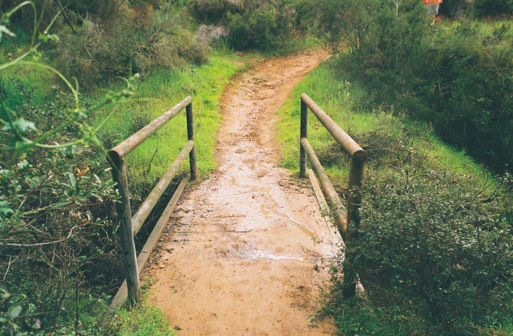
Reaching two miles you cross a small wooden bridge. Soon after, the trail routes back to the water for the last time before ascending to the Bradbury Dam lookout.
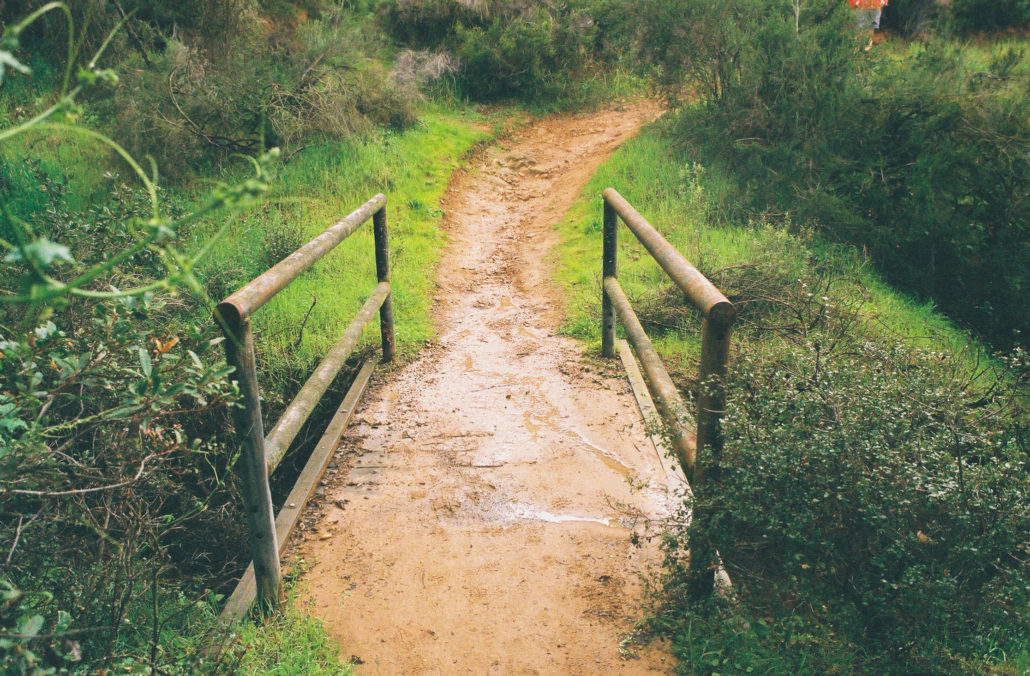
the small wooden bridge we crossed. Shot on Kodak Ultramax 400 film.
Bradbury Dam was constructed on the Santa Ynez River between 1950 and 1953 as part of the larger Cachuma Project, a federal water project in response to the rapid urbanization of Santa Barbara and its surrounding communities. Originally Cachuma Dam, its name was changed in 1971 to honor the legacy of local water advocate Brad Bradbury. These days, visitors can hike or drive to its designated viewpoint – those looking for an alternate (and free) version of the Sweetwater Trail can opt to park here instead and complete the out and back in reverse, albeit with a less dramatic destination. Also available are public restrooms.
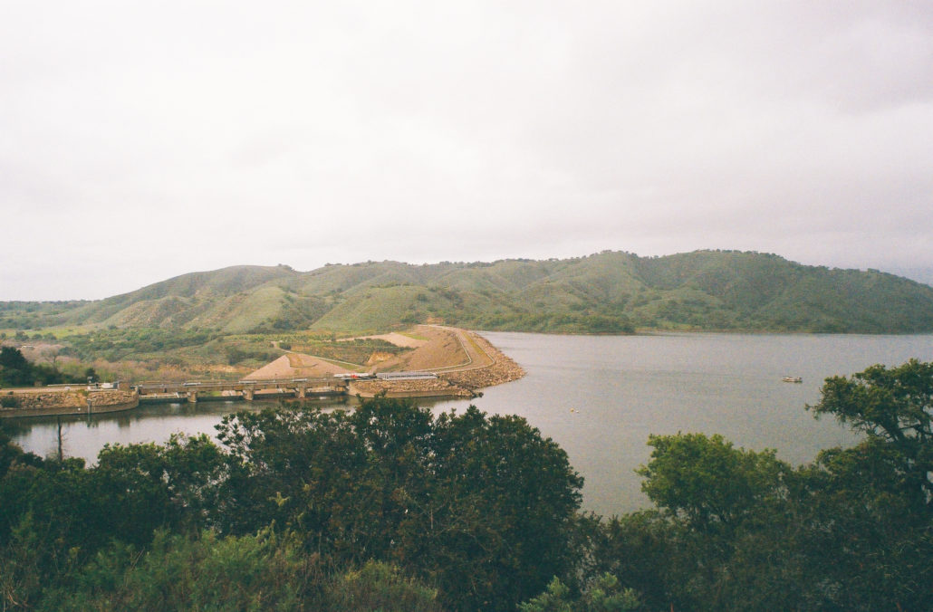
Bradbury Dam from the lookout. Shot on Kodak Ultramax 400 film.
Once you are ready, head back the way you came to complete the trail.
Tags: Bradbury Dam, Cachuma Lake, lake, San Rafael Mountains, Santa Barbara, Santa Ynez Mountains, Viewpoint