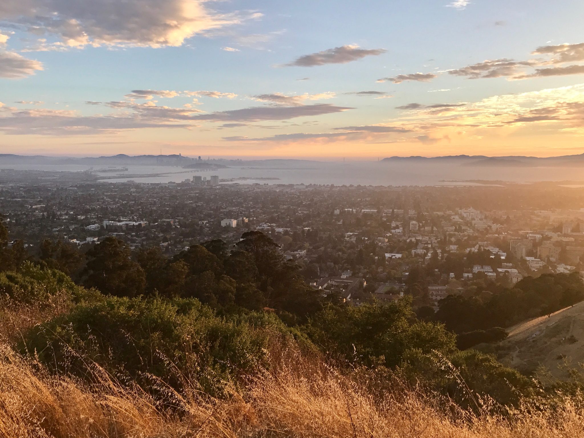
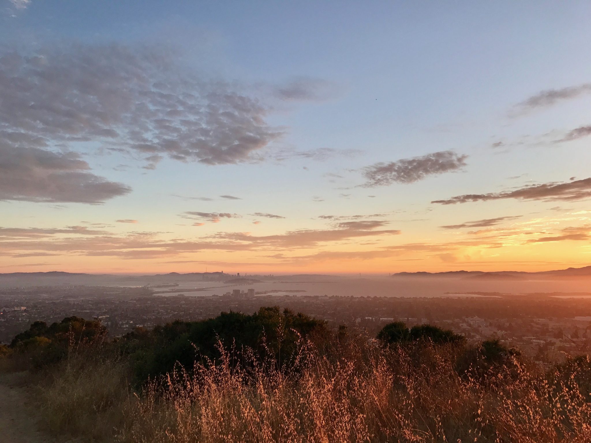
Short but sweet, Claremont Canyon Regional Preserve’s Stonewall-Panoramic Trail is a great bang-for-your-buck hike, in terms of both views and exercise. Distance to the first viewpoint (where many turn around) may be short, but the trail starts off steep and doesn’t quit. The higher you go, the more the view of the bay opens up dramatically – on a clear day you can see San Francisco and several Bay Area bridges, including the Golden Gate. From the first viewpoint (with bench), you can turn around, or extend the hike and continue on uphill, eventually meeting up with other East Bay trails.
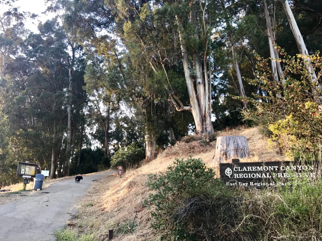
The trail begins at a bend in Stonewall Road. Though there are several side trails that feed in as you go, the main trail is obvious –it’s the one that keeps going up. Like many trails in the East Bay Regional Parks system, Claremont Canyon is dog-friendly, and dogs are allowed off-leash under voice control (please read trailhead signs for details, and note that ticks are common here).

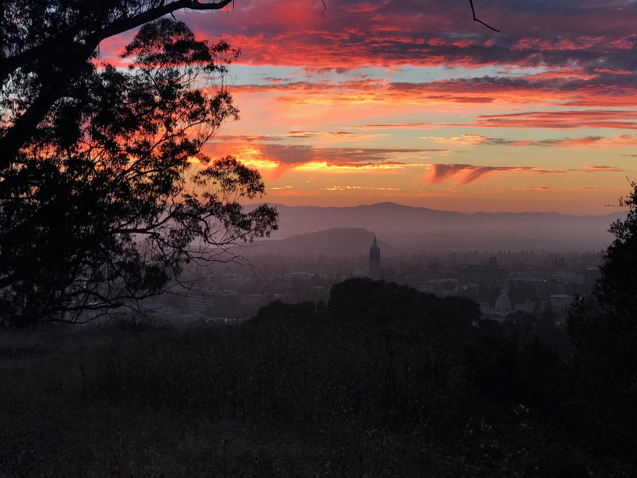
There are numerous unmarked spots along the way to take in the views and give your legs a break. Keep an eye out for Sather Tower on the UC Berkeley campus, and note increasingly gorgeous views of Oakland and San Francisco the higher you climb.


After about .7 miles of uphill work, you’ll be rewarded with a gorgeous viewpoint (which you can take in from your seat on a well-placed bench, if it’s not already occupied). From there, head back down the way you came, or continue up the trail to the top of the ridge. And congratulations — you’ve just done the Stonewall-Panoramic Trail!

Tags: bay area, Berkeley, california, claremont canyon, dog-friendly, east bay, East Bay Regional Parks, Hiking, Photography