Portland’s Forest Park offers up a multitude of hiking opportunities year round, depending on how much mud you’re comfortable stomping your boots in. The park runs generally in a north-south direction on the slopes west of the Willamette River, and the two primary trails that run the length of the park are the closed-to-traffic Leif Erikson Drive and the marquee Wildwood Trail. If you are aiming to do a loop hike in Forest Park, you’re eventually going to spend some time on one or both of those trails, and some of the more popular trailheads can definitely get crowded. This route on the Springville Road Loop begins at the Springville Road trailhead, then follows Firelane 7 to the Wildwood Trail, the Hardesty Trail to Leif Erikson Drive, and the Springville Road back to the trailhead.
All in all, it’s a lovely little loop spent deep in the woods — and you’ll get a big chunk of deciduous forest as well as some lovely time in the evergreens, too. Multiple cut-offs make for easy shortcuts depending on how much time you want to spend on the Springville Road Loop, as long as you remember that all of the route’s fairly modest elevation gain will be done on your way back to the trailhead.
Park at the trailhead and make your way through the gate to Firelane 7.

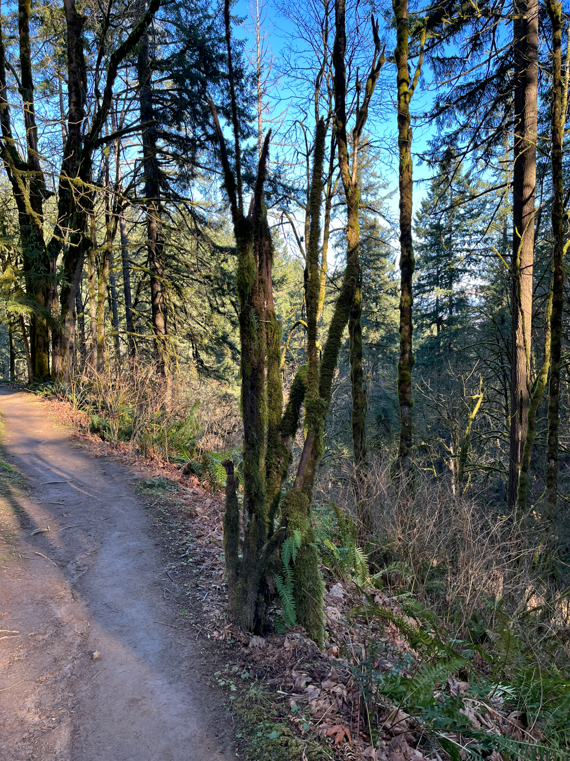
Most of the woodland at the start of the trail is made up of deciduous trees, including big-leaf maple and red alder. That means in the autumn, you’re likely to enjoy some lovely displays of fall color here. On a winter day (assuming the sun is around), you’ll get lots of brisk, crisp sunshine. And in the summer months, you’ll have plenty of shade to keep you nice and cool.
Continue your hike on Firelane 7. You will pass junctions for the Hardesty Trail about 0.1 mile past the gate, the Ridge Trail 0.3 mile later, and the Gas Line Road in another 0.3 mile (putting your cumulative mile marker at about 0.75), depending on how far you had to park. All of these routes intersect with both the Wildwood Trail and Leif Erikson Drive, and can be used to cut mileage off your hike if that’s what you’re looking for.


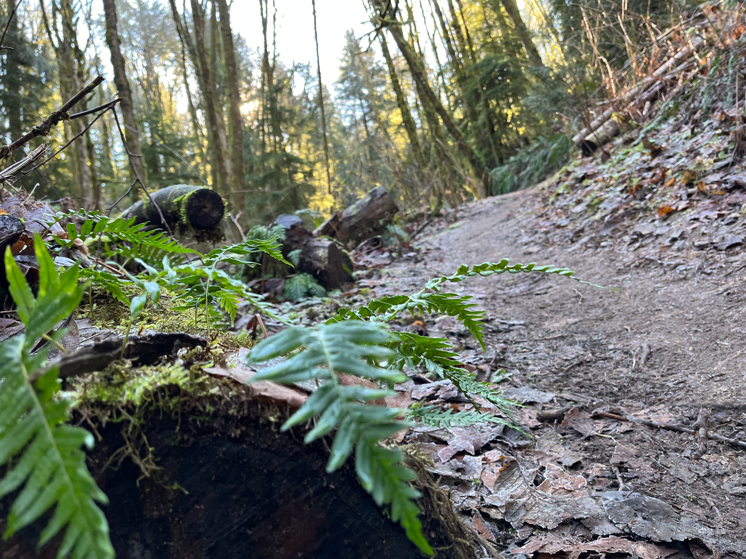
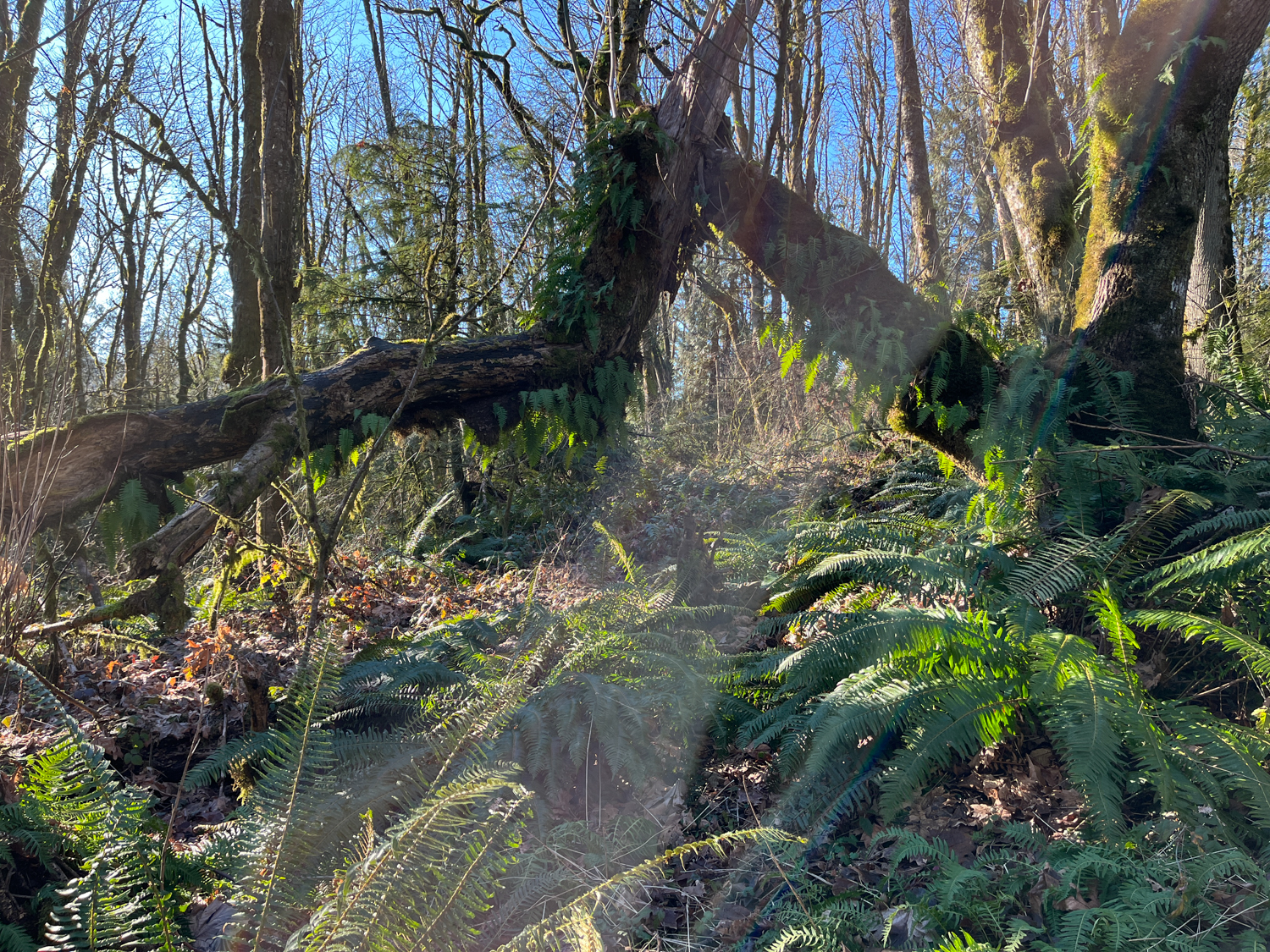
Even in the winter months, there is plenty of green to go around on the Springville Road Loop. In addition to your standard collection of Pacific Northwest winter mosses, you’ll also have lots of Western sword fern, Oregon grape, and salal on the forest floor to enjoy. Learn more about the plants in this park as well as opportunities to help keep invasives under control at the Forest Park Conservancy.

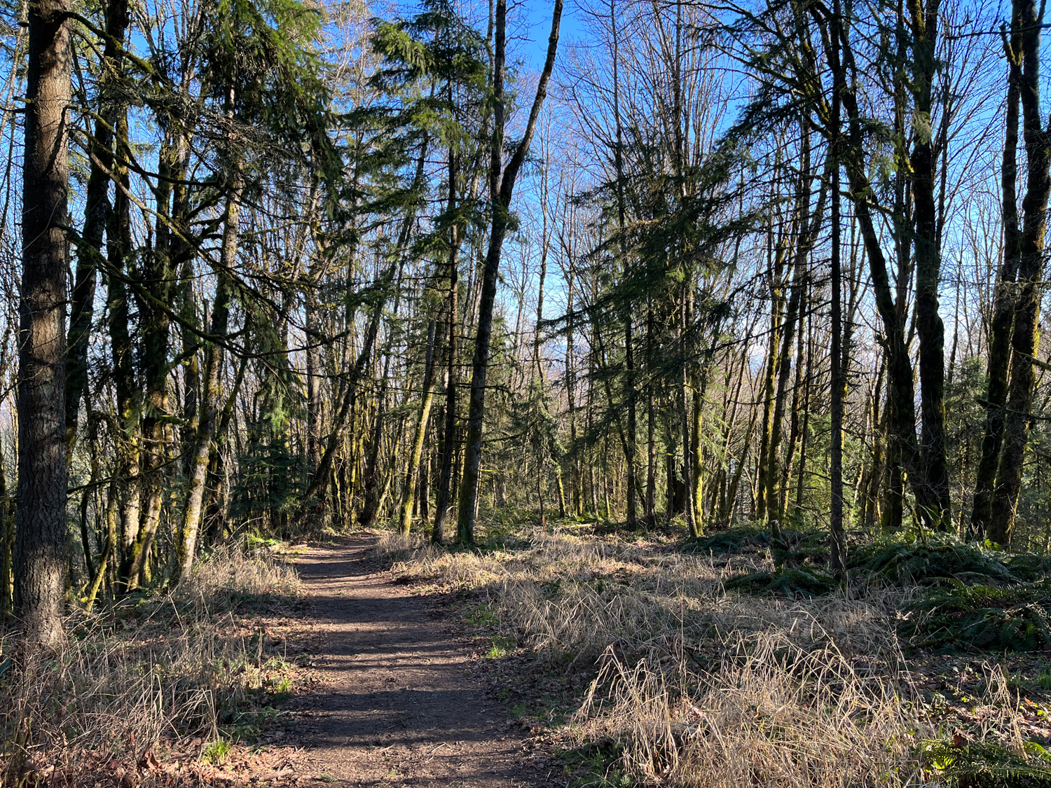
After the Gas Line Road, keep right to continue on Oil Line Road (there may or may not be a sign at this junction). Most of the trail is a fairly gradual decline, but there are two sections where you’ll notice it — and this is one of them. Thankfully, though, it’s pretty short. You’ll reach the Wildwood Trail at 1.1 miles. Hang a left here to keep meandering your way away from the city on the mostly flat Wildwood Trail.

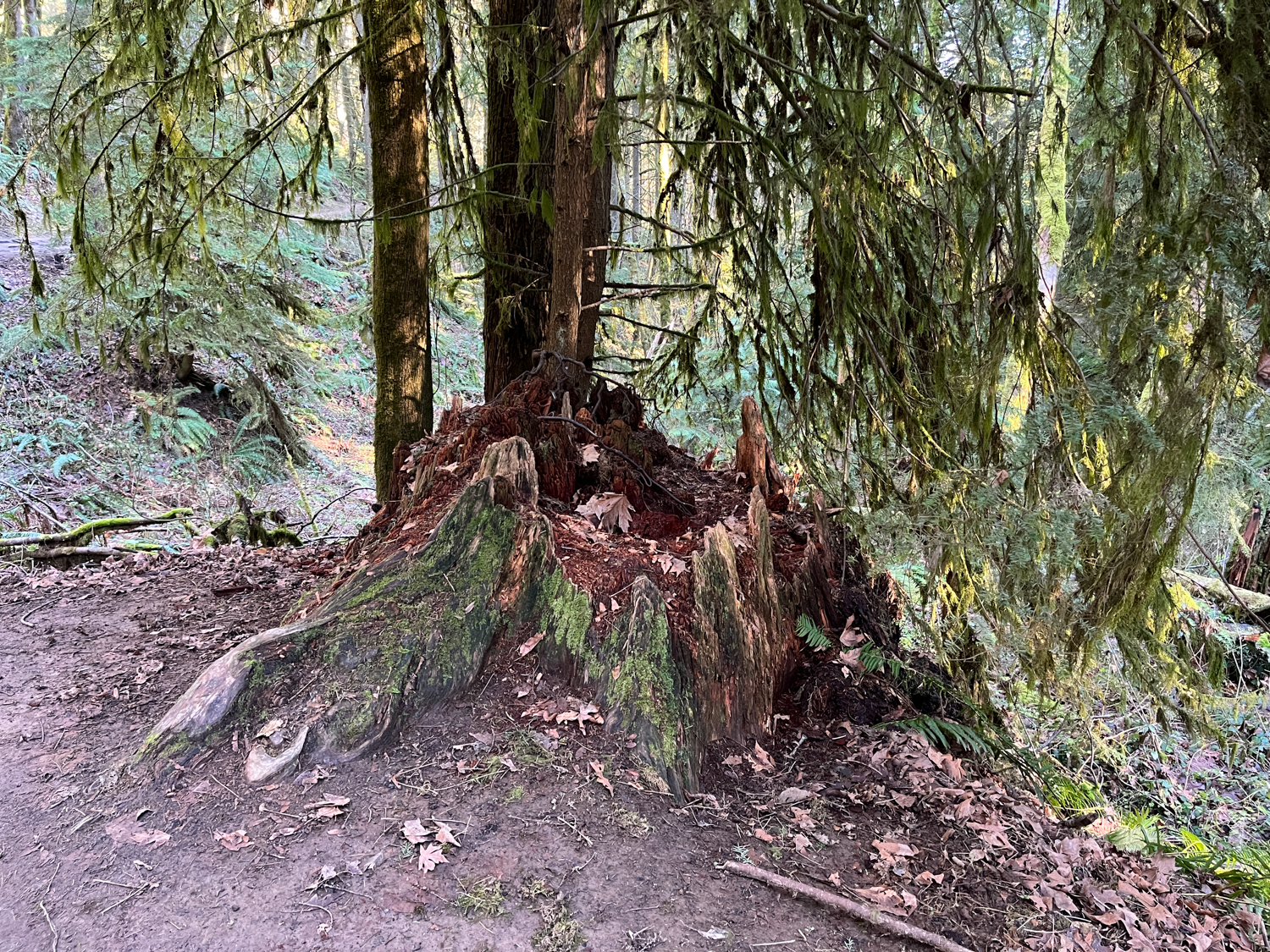
Here, you’ll begin to notice large stumps among the trees, most of which have become nurse logs to various fungi, mosses, and maidenhair ferns. Vine maples arc in the understory beneath the canopies of the larger big-leaf maples, Douglas firs, and hemlocks. Although it can be easy to sort of zone out on the flat, meandering Wildwood Trail, definitely make sure to stop and enjoy some of the more subtle sights along the way. You’ll also cross a number of small seasonal creeks in this stretch of the hike as well.


Stay on the Wildwood Trail at the junction with the Gas Line Road at 1.7 miles and with the unsigned Ridge Trail at 2.74 miles.
Just before the 3.6 mile mark, keep right to make a steep descent on the Hardesty Trail. The Hardesty Trail follows a mostly year-round creek down to an intersection with Leif Erikson Drive just before you reach 3.9 miles.
Follow the flat Leif Erikson Drive through an area that was at one time plotted for houses. Today, the biggest sign of civilization is the ever-encroaching, introduced ivy enveloping the forest. At about 4.2 miles, on your left you can make out the remains of an old cement foundation in the process of returning to the forest.

Just before 4.3 miles, you’ll reach a four way junction with Springville Road at a Forest Park map. Springville Road follows the route of an old wagon road that farmers used to bring their goods down to the Willamette River. Today, it’s simply your return trip back to the trailhead. At 4.65 miles, Springville Road crosses the Wildwood Trail at an angle — stay straight to continue climbing up and you’ll complete the Springville Road Loop.
Tags: Forest Park, hardesty trail, leif erikson drive, oregon, Portland, springville road, wildwood trail