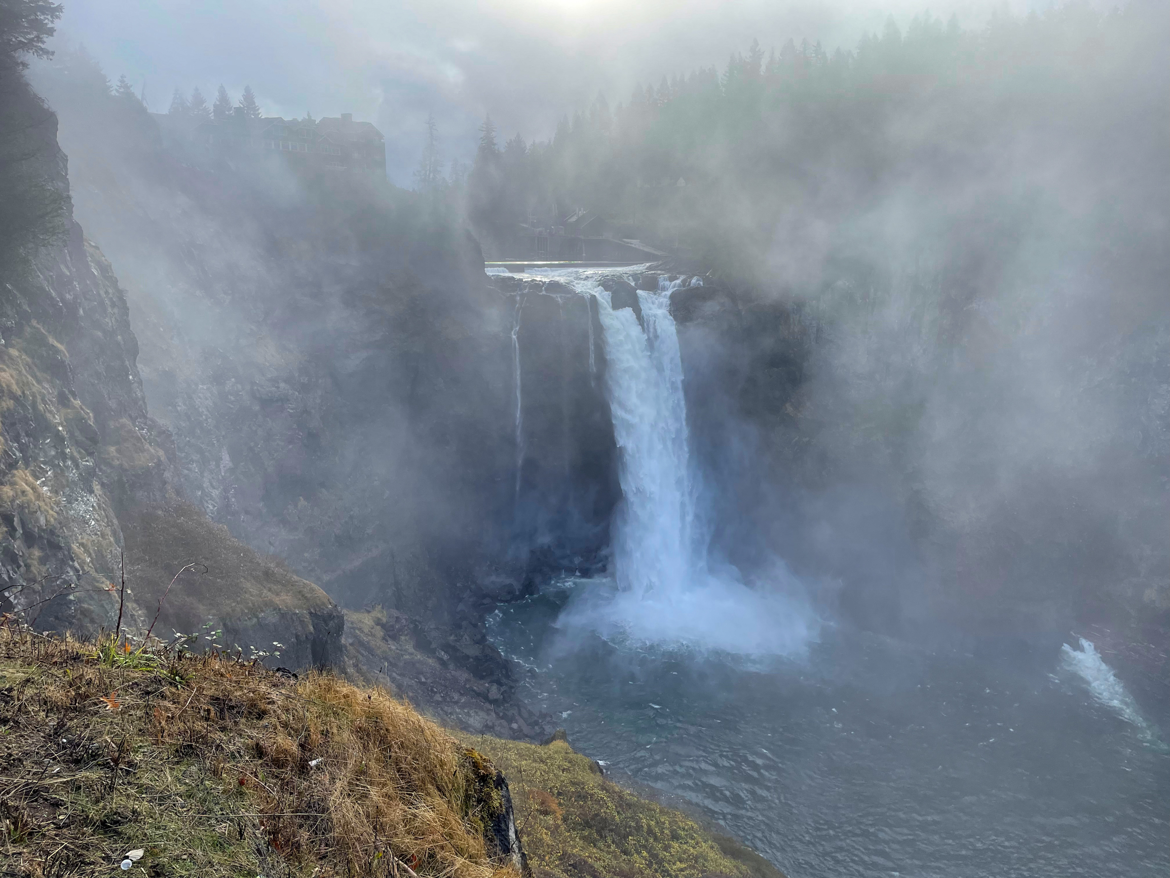
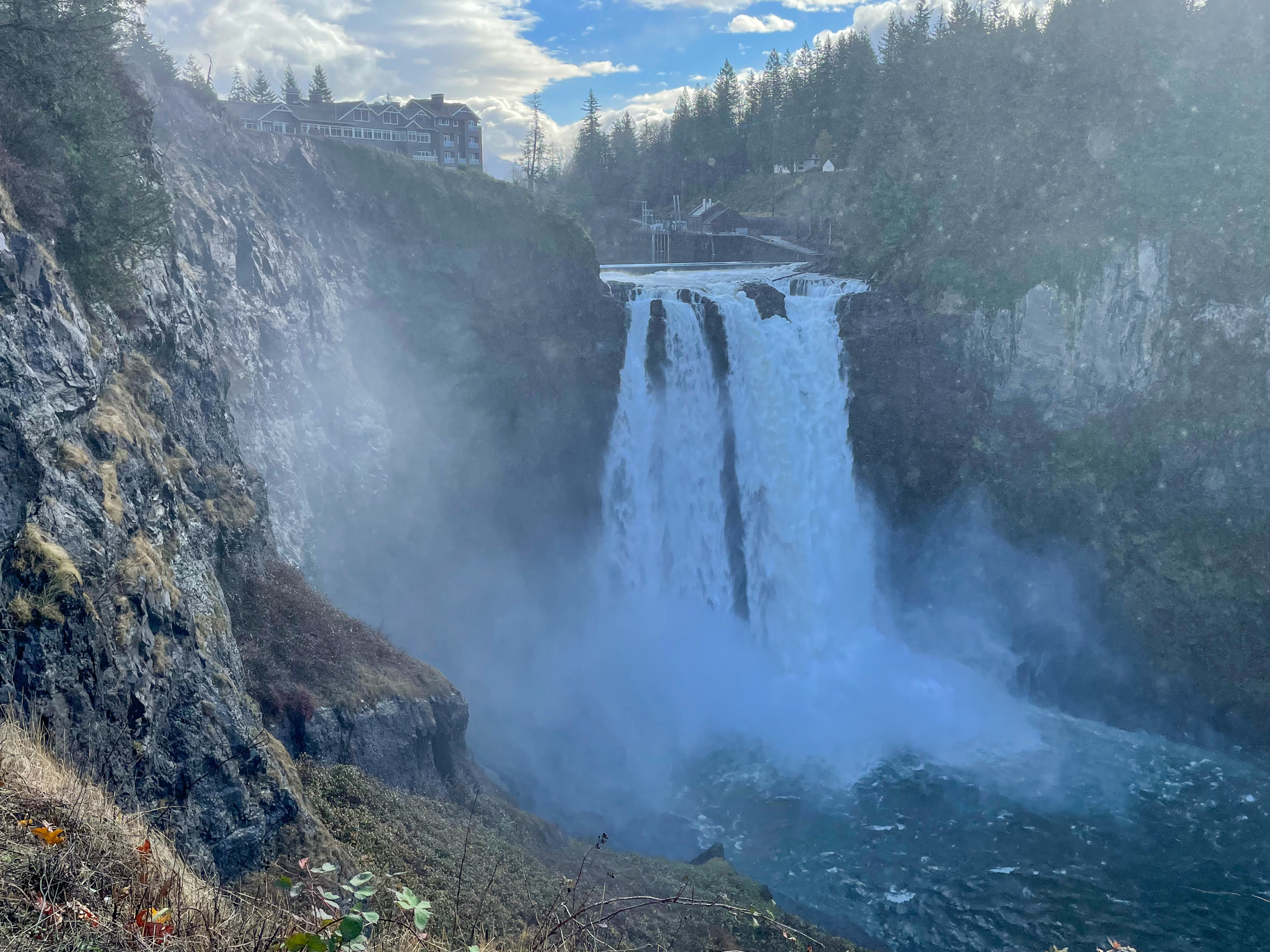
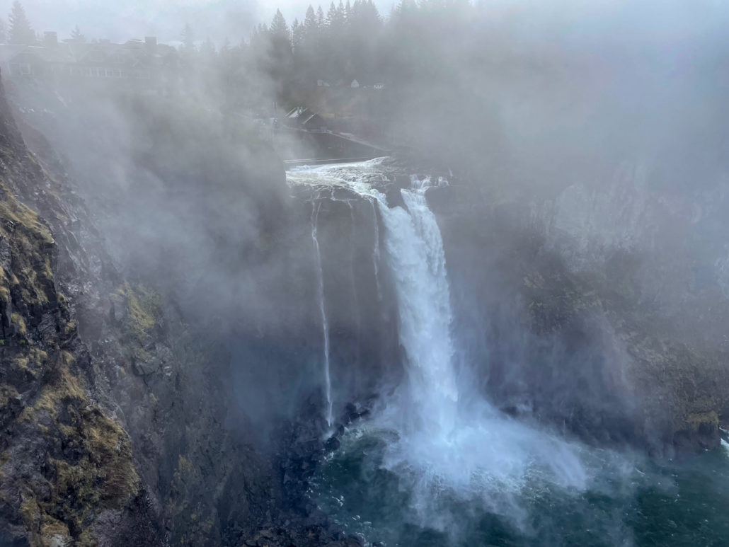
Snoqualmie Falls is a mystical, timeless 268-foot waterfall 30 miles east of Seattle along the Snoqualmie River, with a special, sacred meaning to the Snoqualmie Indian Tribe. Next to the falls, a free, 12-acre park offers multiple vista points, prolific displays, a riverside boardwalk, and a lush hiking trail through a Pacific Northwest forest. As an added bonus, the Salish Lodge & Spa, adjacent to the falls, makes a fantastic stop for breakfast. If you’re looking for an introduction to what makes the Seattle area’s natural wonders and natural beauty so special, this is it!

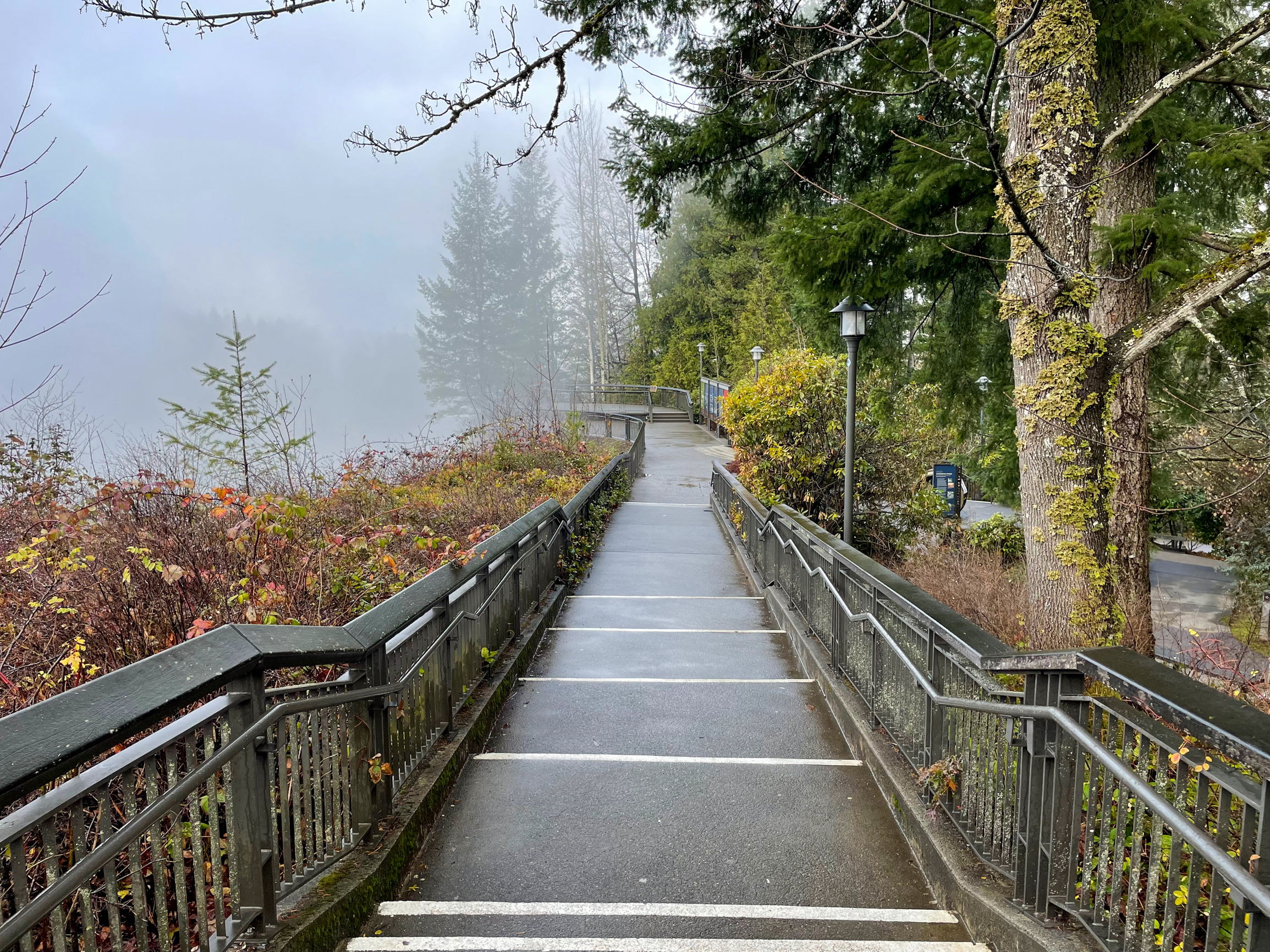
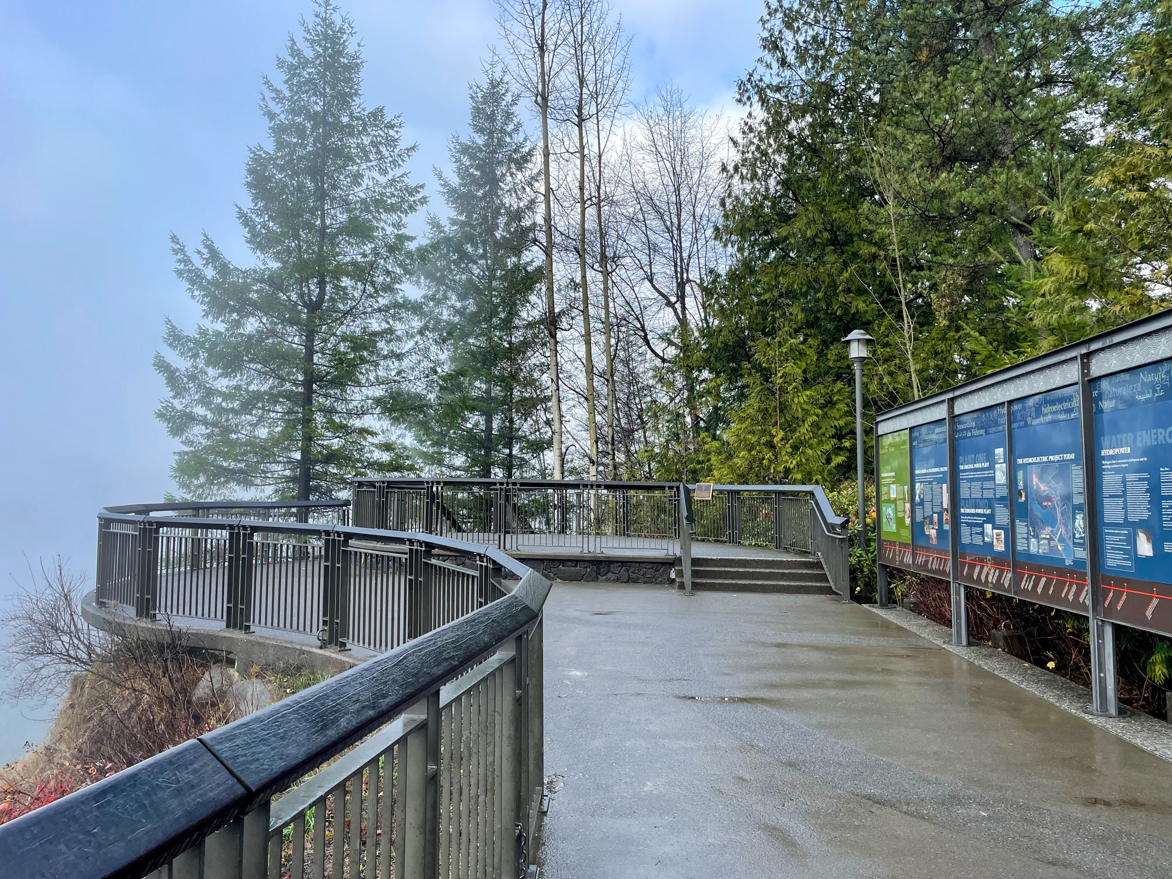
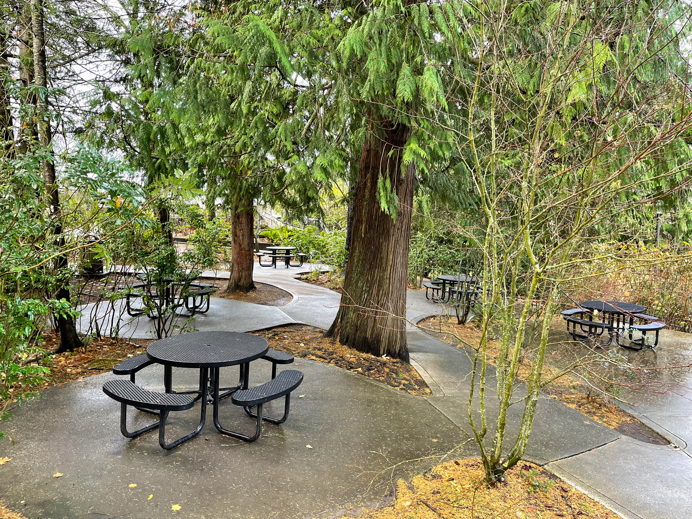
The 12-acre Snoqualmie Falls Park is divided into an upper park and a lower park connected by a half-mile hiking trail. The upper park is paved with ADA-accessible paths, educational kiosks, restrooms, picnic tables, and three cliffside vistas overlooking Snoqualmie Falls. The lower park also has picnic tables, information kiosks, and restrooms as well as a riverside boardwalk that leads to an eye-level vista of the falls. Free parking is available at the upper and lower parks. The park is open from dawn to dusk and leashed dogs are allowed.
Although the falls flow year-round, a great time to visit is after a rainstorm when the water flow is tremendous. It is also incredibly beautiful in a dusting of snow. The falls are popular, especially mid-day on weekends, but tend to be quieter in the early morning and evening.
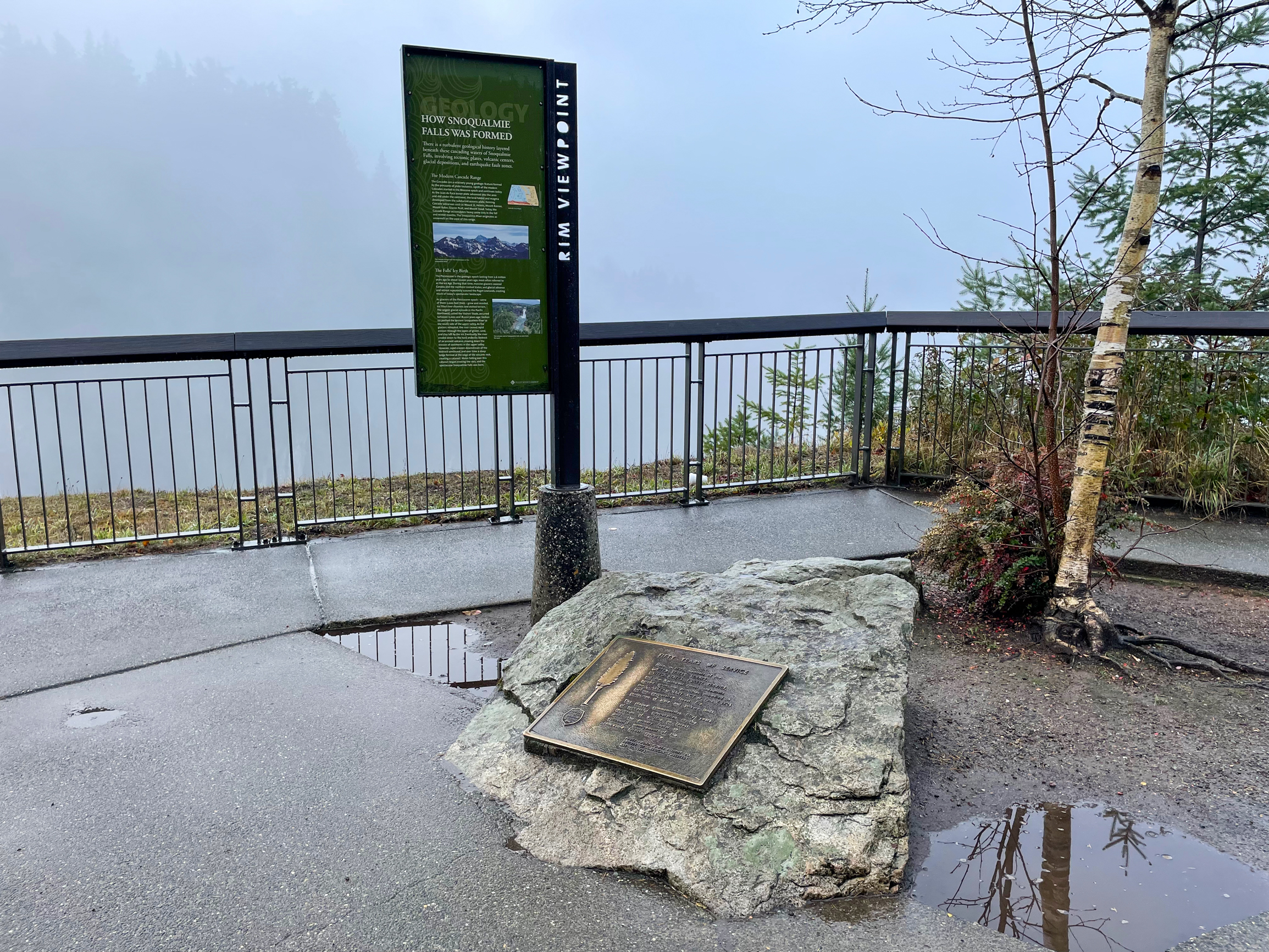
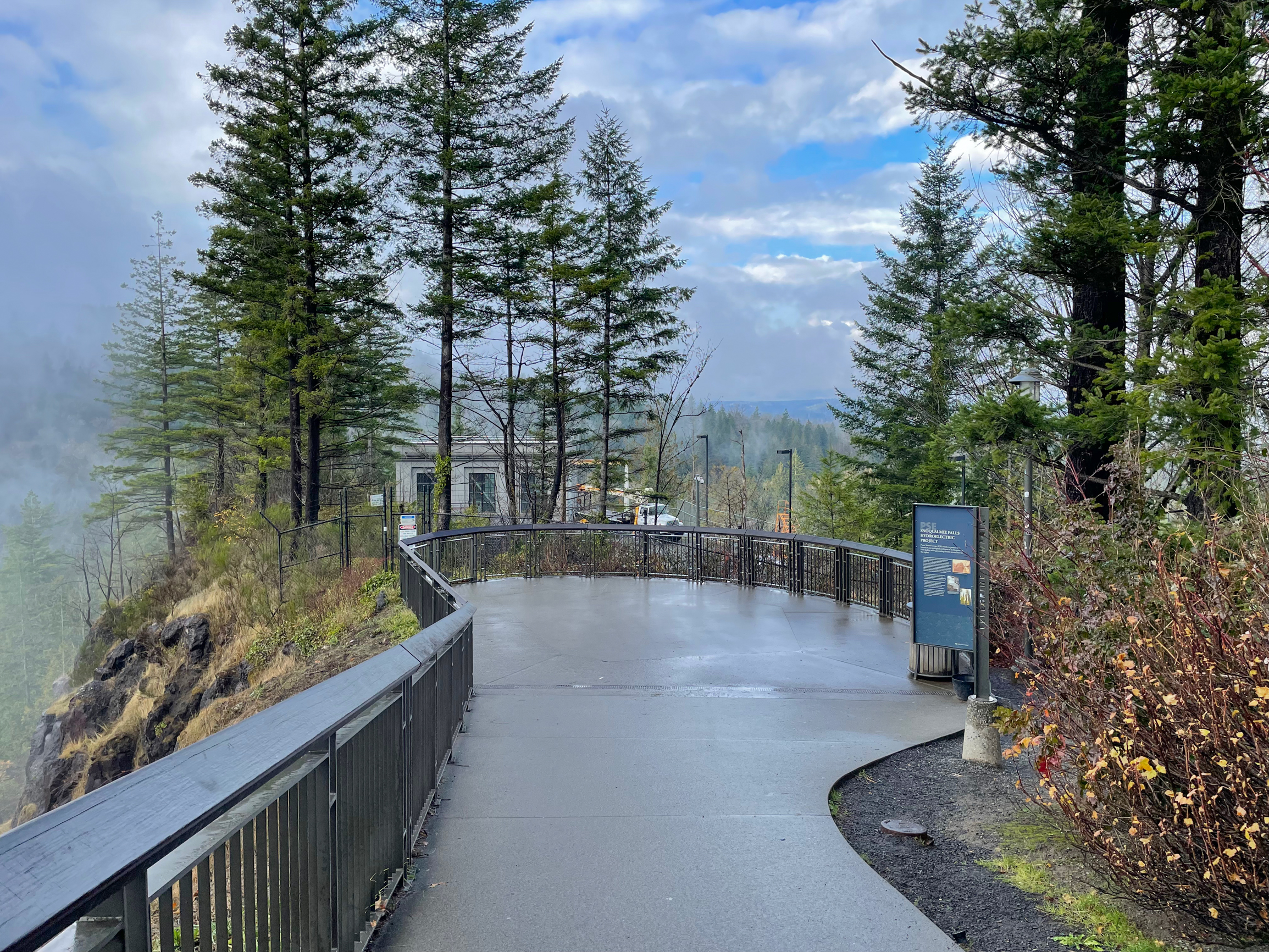
Upper Park Plaza – Rim Viewpoint
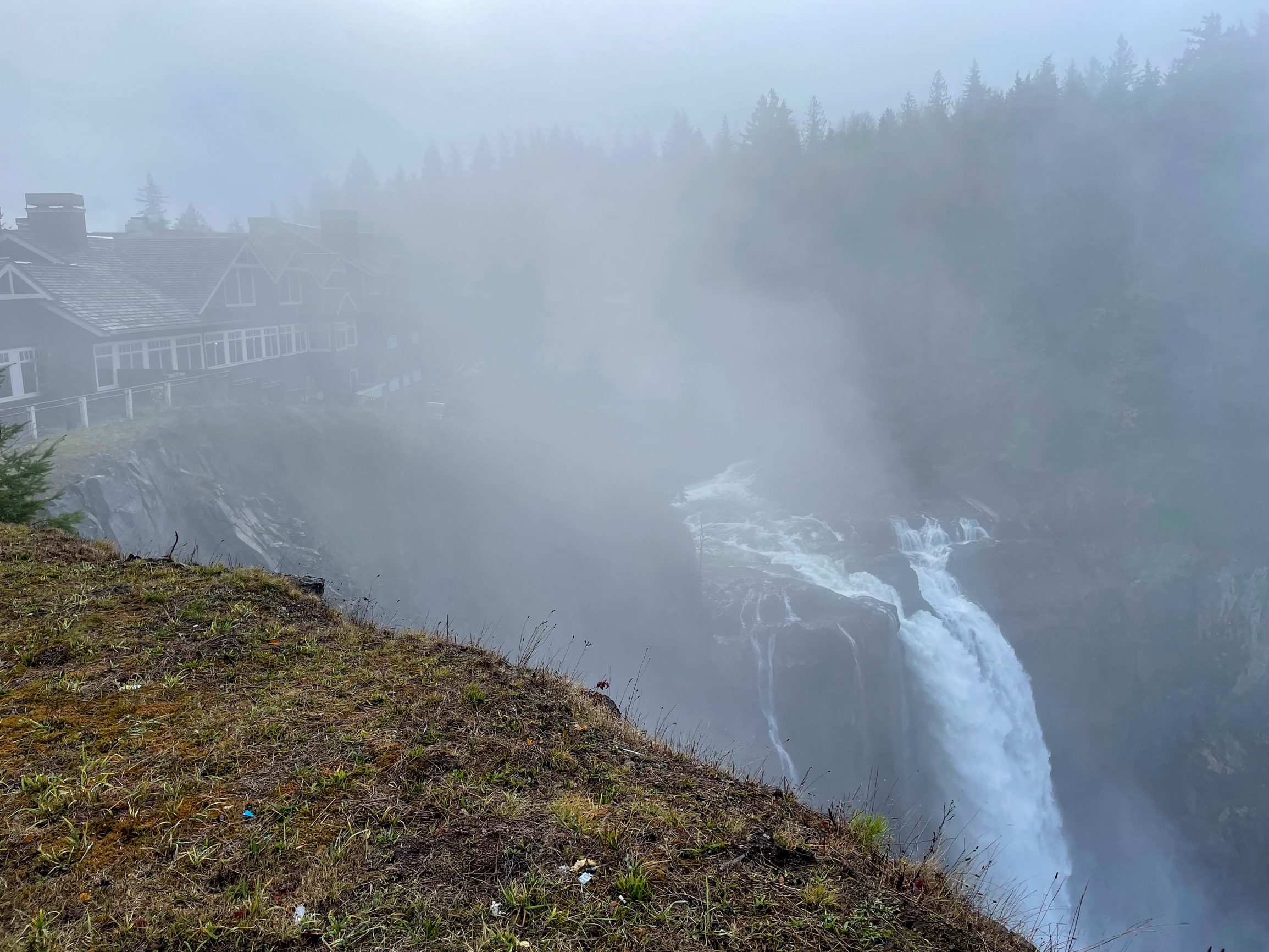
Begin in the upper park plaza next to the wooden pedestrian bridge. Here you will find the first of three cliffside viewpoints called the Rim Viewpoint, with a top-down view of Snoqualmie Falls and a good look at its crest where the Snoqualmie River transforms into plumes dropping over the cliff face. It’s hard not to smile as you hear the roaring sound of the falls, watch the powerful plumes, and feel the mist on your face wafting up in a gentle shower.

To the left of the falls is the Salish Lodge & Spa, an 86-room boutique hotel built in 1916 and purchased by the Snoqualmie Tribe in 2019. The purchase is one of a tremendous series of recent developments for the tribe in reclaiming and reconnecting to their ancestral lands. In October 1999, the tribe celebrated its re-designation as a federally recognized tribe by the United States. The tribe opened the Snoqualmie Casino in 2008, purchased the Salish Lodge and nearby 45 acres to help preserve sacred land in 2019, and more recently acquired roughly 12,000 acres of land in East King County in their ancestral territory.
Snoqualmie Falls is a sacred site for the Snoqualmie People on the tribe’s ancestral lands. The Snoqualmie People have lived in these lands since time immemorial and feel a deep connection to the falls, which they consider to be the birthplace of their people. One way to understand and appreciate the tribe’s heritage, and their connection to Western Washington, is through the insightful and interactive Snoqualmie Tribe Ancestral Lands Movement site.
Upper Park Plaza – Falls Viewpoint
When ready, continue past the Rim Viewpoint down a cliffside stairway to the Falls Viewpoint. Here, a two-tiered viewing platform shows a full, unobstructed view of Snoqualmie Falls from crest to plunge pool. The semicircular cliff face surrounding the falls is made up of volcanic rock called andesite: the remains of a volcano formed 20 million years ago.

If you’re wondering where all that water is coming from, most originates in the Cascade Range as mountain snow that melts and trickles down into the North Fork, Middle Fork, and South Fork of the Snoqualmie River. The three forks merge three and a half miles upstream from the falls to form the singular Snoqualmie River. After flowing down the falls, the river flows northward and joins with the Skykomish River near Monroe to form the Snohomish River, which then empties into the Puget Sound near Everett.
Upper Park Plaza – Peregrine Viewpoint
At the Falls Viewpoint, look for the hidden staircase at the back (well, not quite hidden, but easy to miss) and descend further along the cliffside to the third viewpoint in the upper park: the Peregrine Viewpoint, named for peregrine falcons nesting in the cliff faces surrounding the falls. Here you have a wide-angle view of the falls, Salish Lodge, and surrounding cliffs. This is a wonderful spot for photography and selfies.


To the upper right of the falls, the little house you see with a triangle roof is Puget Sound Energy’s Plant One intake building. Plant One was originally built in 1899 by a civil engineer named Charles Baker. It was the first fully underground hydroelectric plant in the world, built to protect plant components from the waterfalls’ spray and rainy Pacific Northwest weather. The narrow white plume on the lower right of the falls is water being discharged back into the river after it has been diverted above the falls vertically down a large water pipe called a penstock into a horizontal cavity containing turbines and generators that produce electricity.
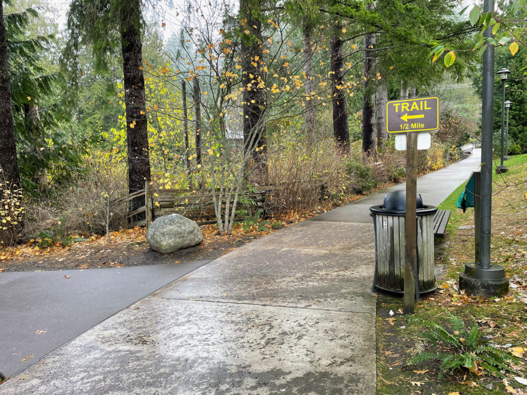
Hiking Trail
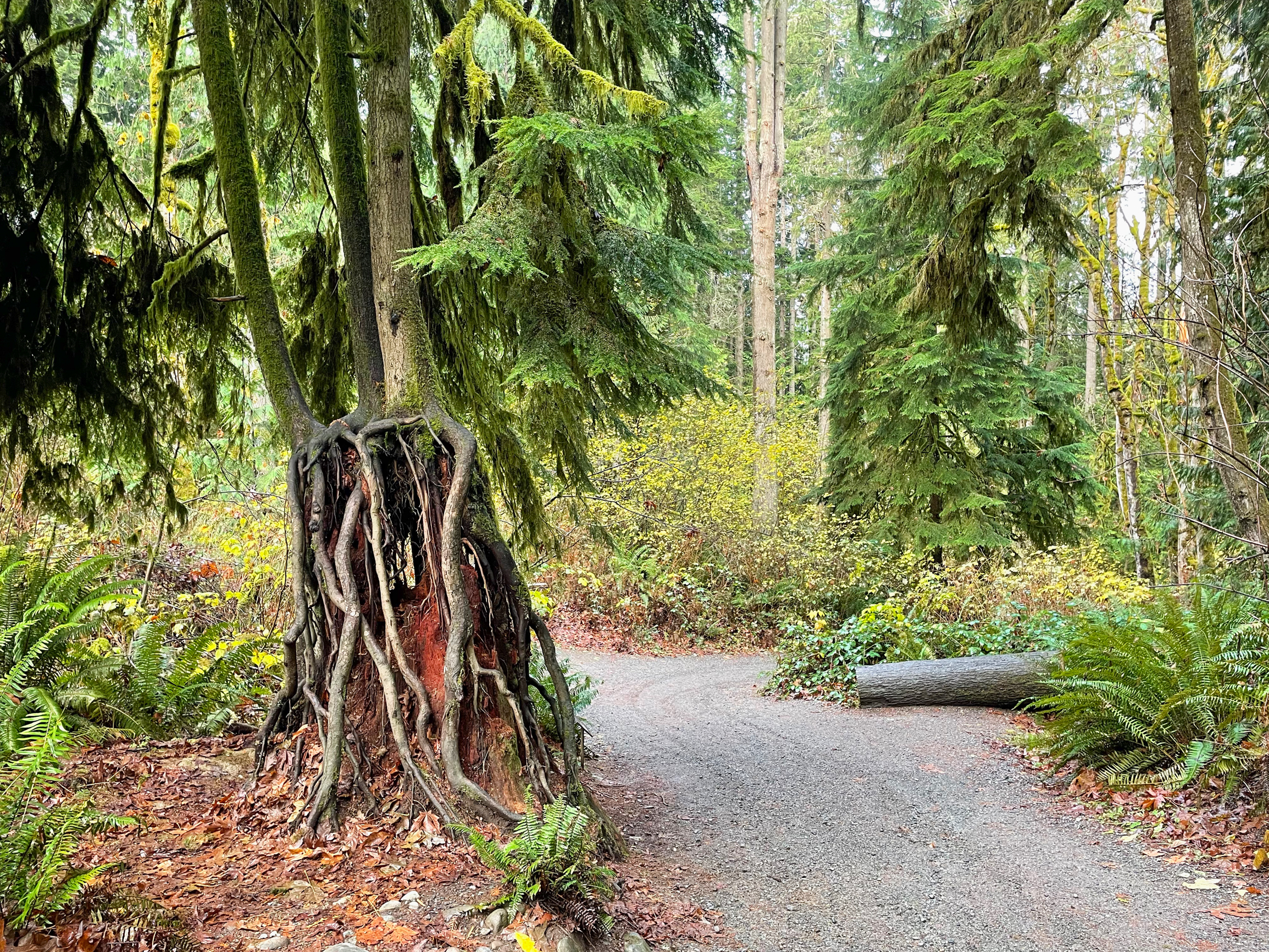
Retrace your steps 150 feet and find the brown and yellow “Trail” sign. After a short stint on a paved path, arrive at a trailhead kiosk where the pavement transitions to a dirt and gravel trail, descending 250 feet over the next 0.5 mile. Benches are sprinkled at regular intervals and forgiving plateaus help break up the incline on the moderately steep trail.
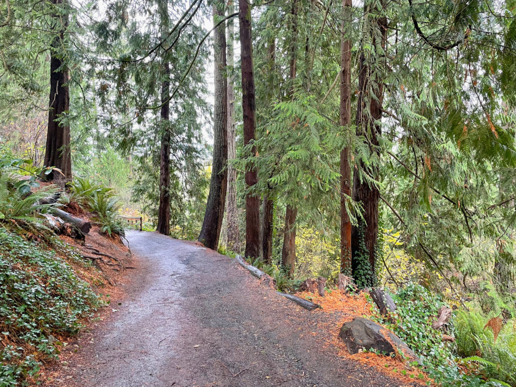
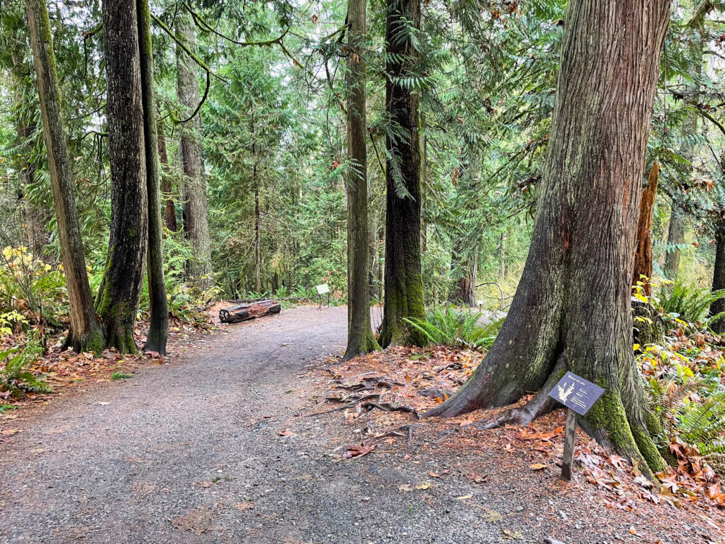
Almost immediately, you will find yourself immersed in a gorgeous second-growth Pacific Northwest forest, descending among 150-foot-tall Douglas fir and western red cedar. Glistening green sword fern lines the trail, and signposts near the ground explain the plant life you are seeing. Huge five-pointed big-leaf maple leaves paper the trail as well as serrated-edged red alder leaves. Large nurse stumps covered in tentacle-like roots from growing trees are a delight. As you approach the lower park plaza, the trail evens out into a less-steep, rolling grade.

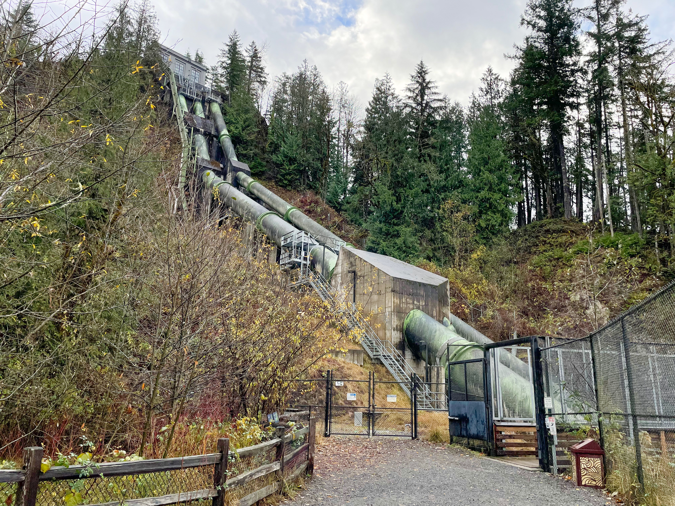
Lower Park Plaza and Boardwalk
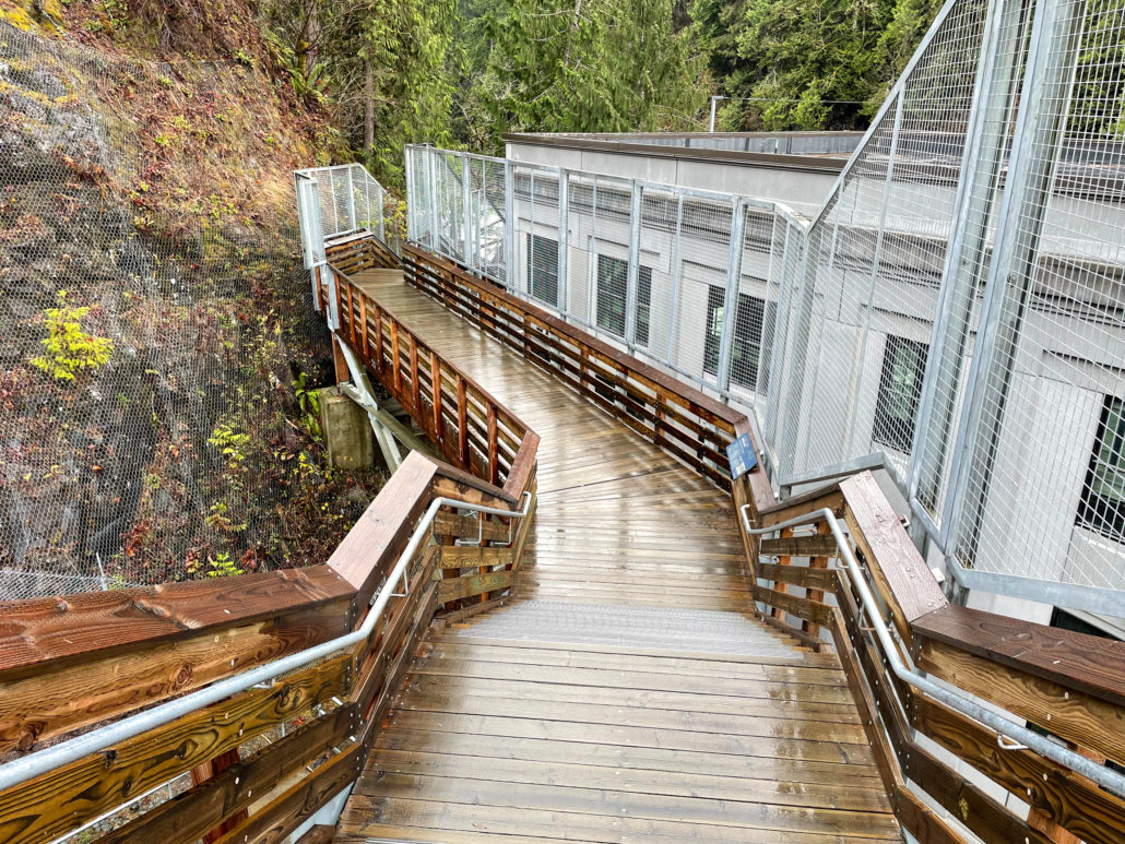
Arrive at the lower park plaza and turn left to follow a sign towards the Falls Viewing Point. On your left are huge penstocks that carry water from Snoqualmie Falls through a tunnel beneath the Salish Lodge to Plant Two on your right, built in 1910.

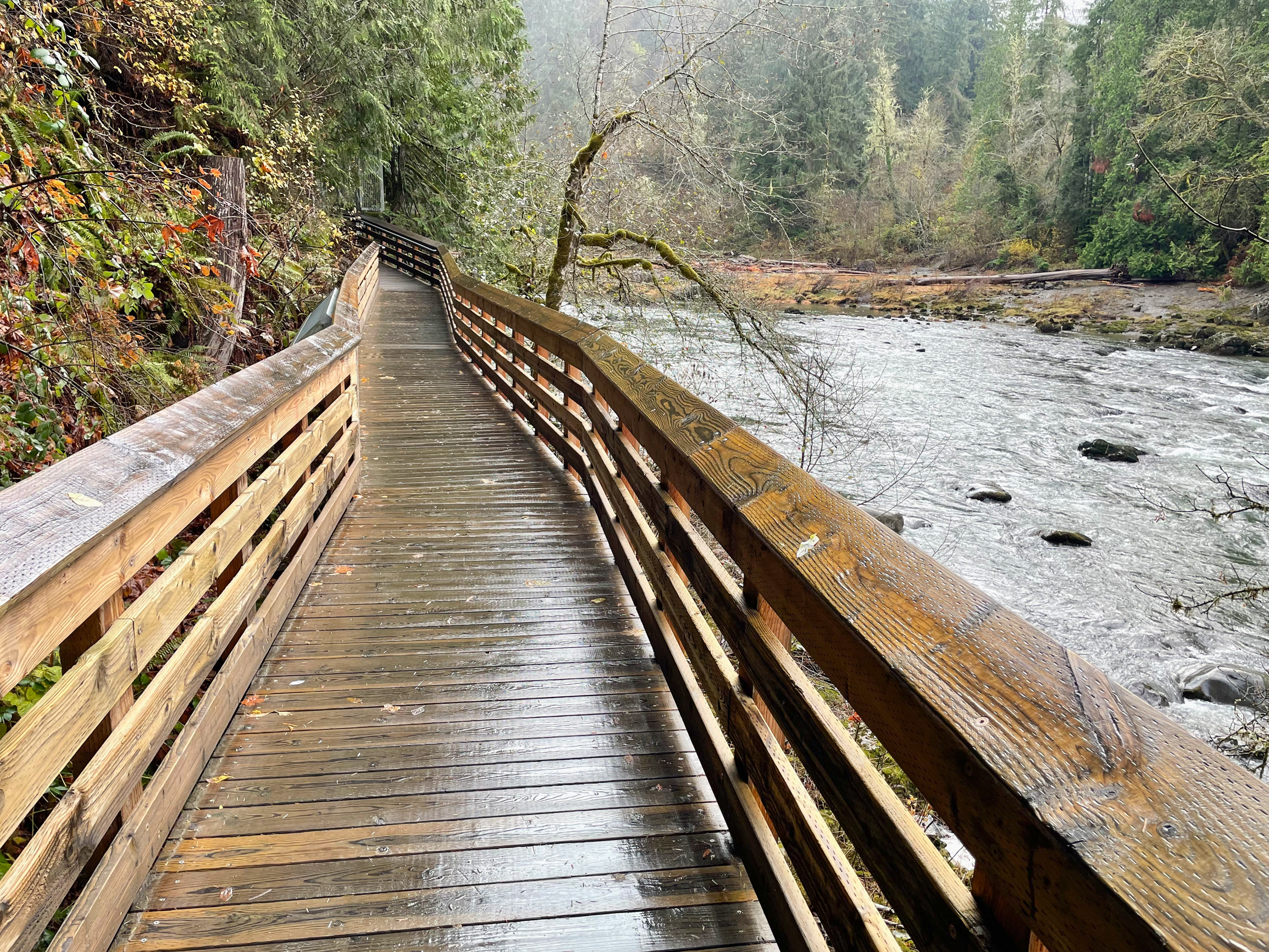
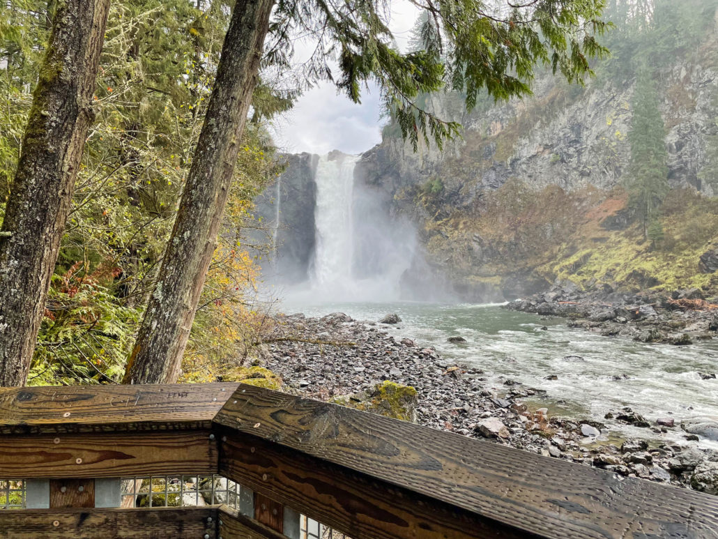
Pick up a 0.2-mile wooden boardwalk here, descending a stairway to the Snoqualmie River. A mossy evergreen forest surrounds the wide river and rapids, where you may see ducks, small birds, and woodpeckers foraging for food.

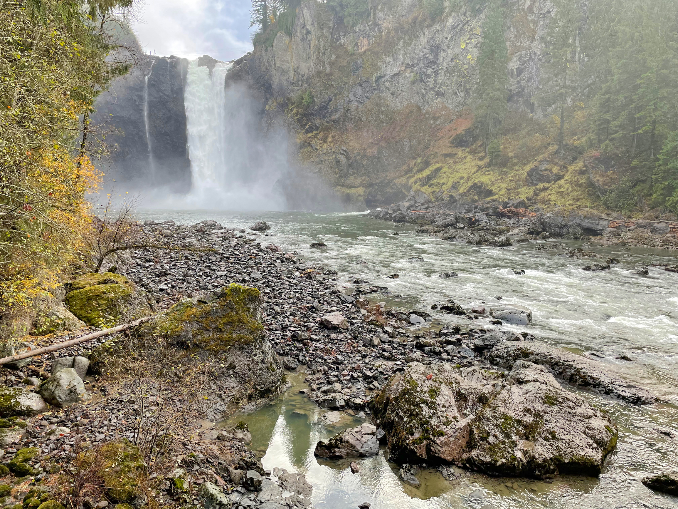
At the boardwalk’s end, reach a stunning eye-level vista of the falls, and rising, sheer cliff faces covered in lichen high above riffles and pools in the Snoqualmie River. After gazing at the view and taking your pictures, turn around and hike back up to the upper park. Next to the upper park, the Salish Lodge’s Dining Room is a great option for a hearty breakfast and coffee. My favorite, coziest spot is a table right in front of the fireplace.
Tags: Cascade Range, Destination Hike, dog-friendly, geology, Hiking, I-90, nature, pacific northwest, Photography, Salish Lodge, Seattle, Snoqualmie Falls Park, Snoqualmie River, Snoqualmie Tribe, Washington State, Waterfall