The Silver Lake Reservoir loop is the perfect jaunt for those looking for a short, fairly easy walk close to the heart of the city that still feels steeped in nature and history. At 2 miles, the loop should only take around 45 minutes, which makes it the perfect afternoon outing. The paved paths and even ground (there’s only one steep incline toward the end) also make it the perfect spot for runners. There’s also a green space toward the end of the hike that’s nice for picnics and family gatherings. Bird watching is plentiful here, and there are even some off-leash dog parks if your canine companion needs to get a little more energy out after the hike. Just remember to slather on that sunscreen and bring a hat and water, as shade is somewhat limited.
For this hike, since you can really start anywhere along the reservoir, we’re going to treat the Ivanhoe Reservoir entrance as our trailhead. Take Silver Lake Boulevard to West Silver Lake Drive. There’s ample parking along West Silver Lake Drive — just make sure you read the signs to keep abreast of any parking restrictions. You’re going to start where West Silver Lake Drive meets Tesla Avenue.

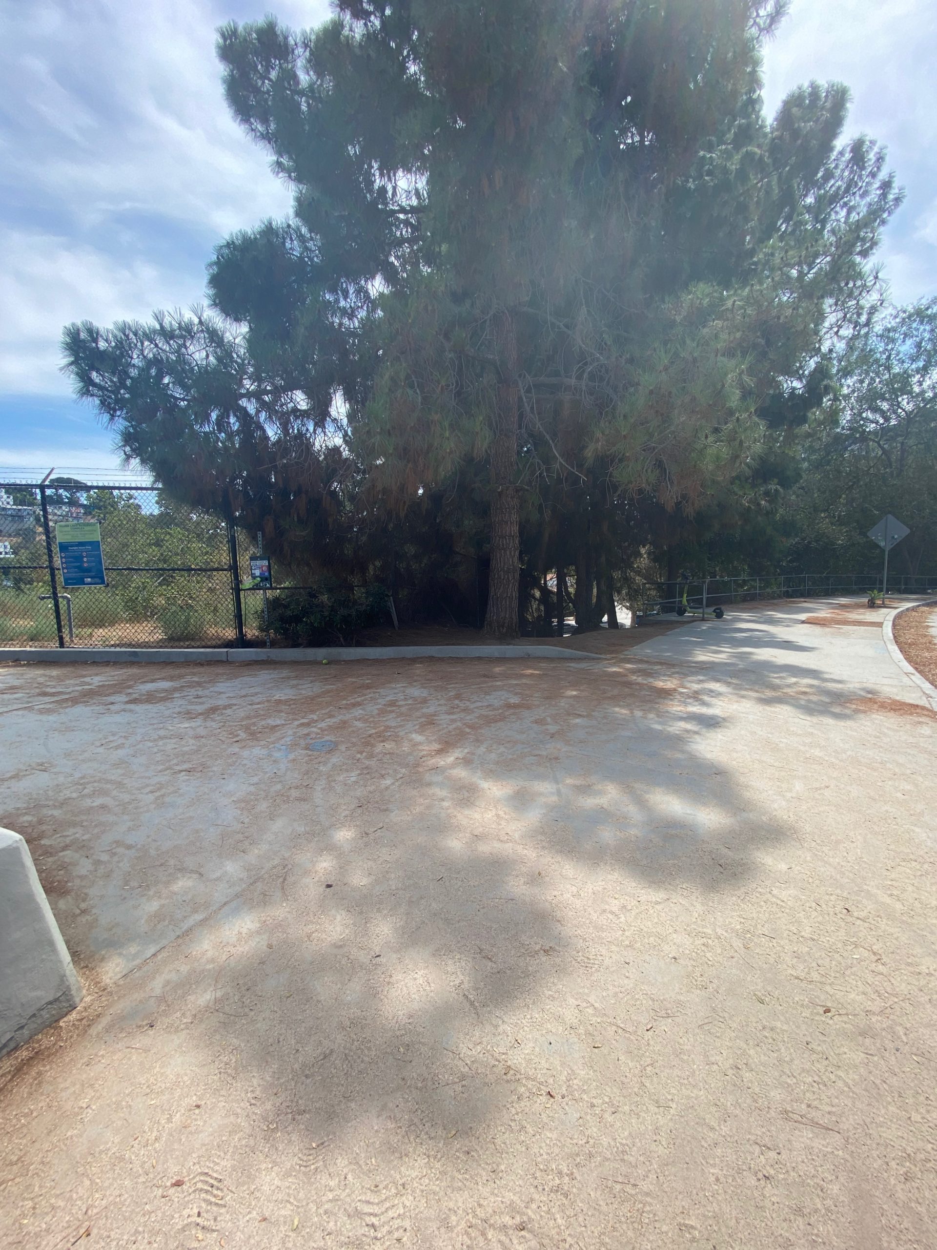
Walk up the pedestrian ramp on West Silver Lake Drive and enter the fence to get to the walking path. You can also walk on the outside of the fence, but note that this is the only portion of the hike that gets you inside the fenced area, so definitely take advantage of it! Especially since the pedestrian path inside the fence is filled with pine and eucalyptus trees and offers some of the best shade on the trail. There is an ongoing project to attempt to turn this entire area into more of a park-like environment, with additional wetlands for birds and more trees — you can keep up to date on that via the L.A. Bureau of Engineering project page.

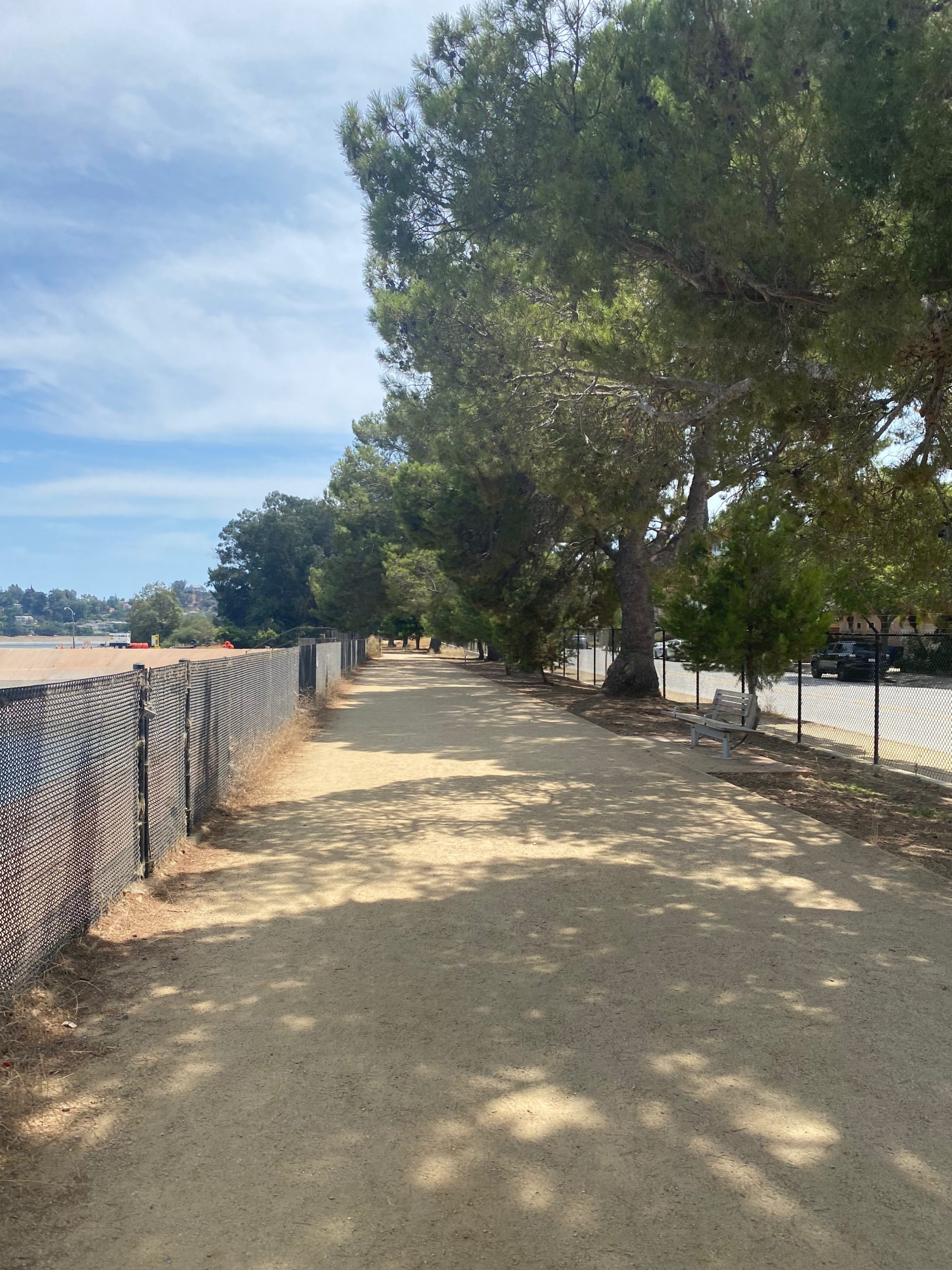
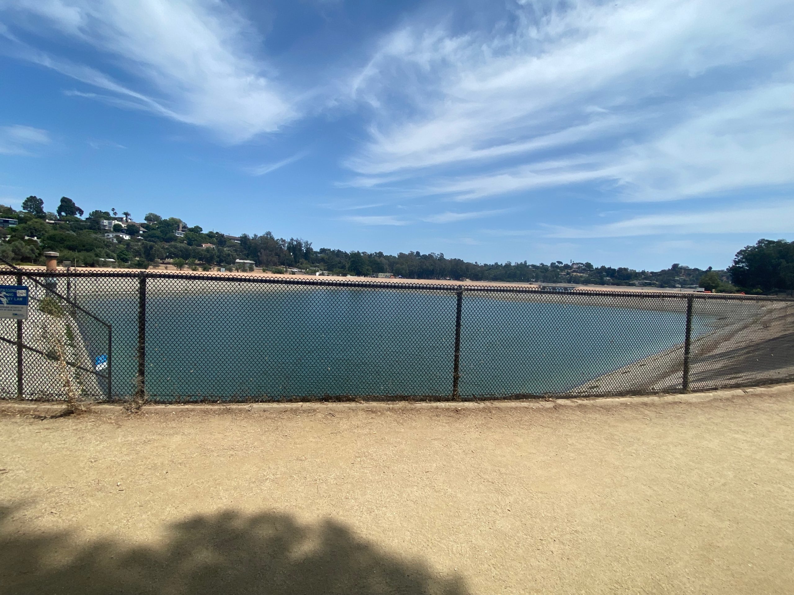
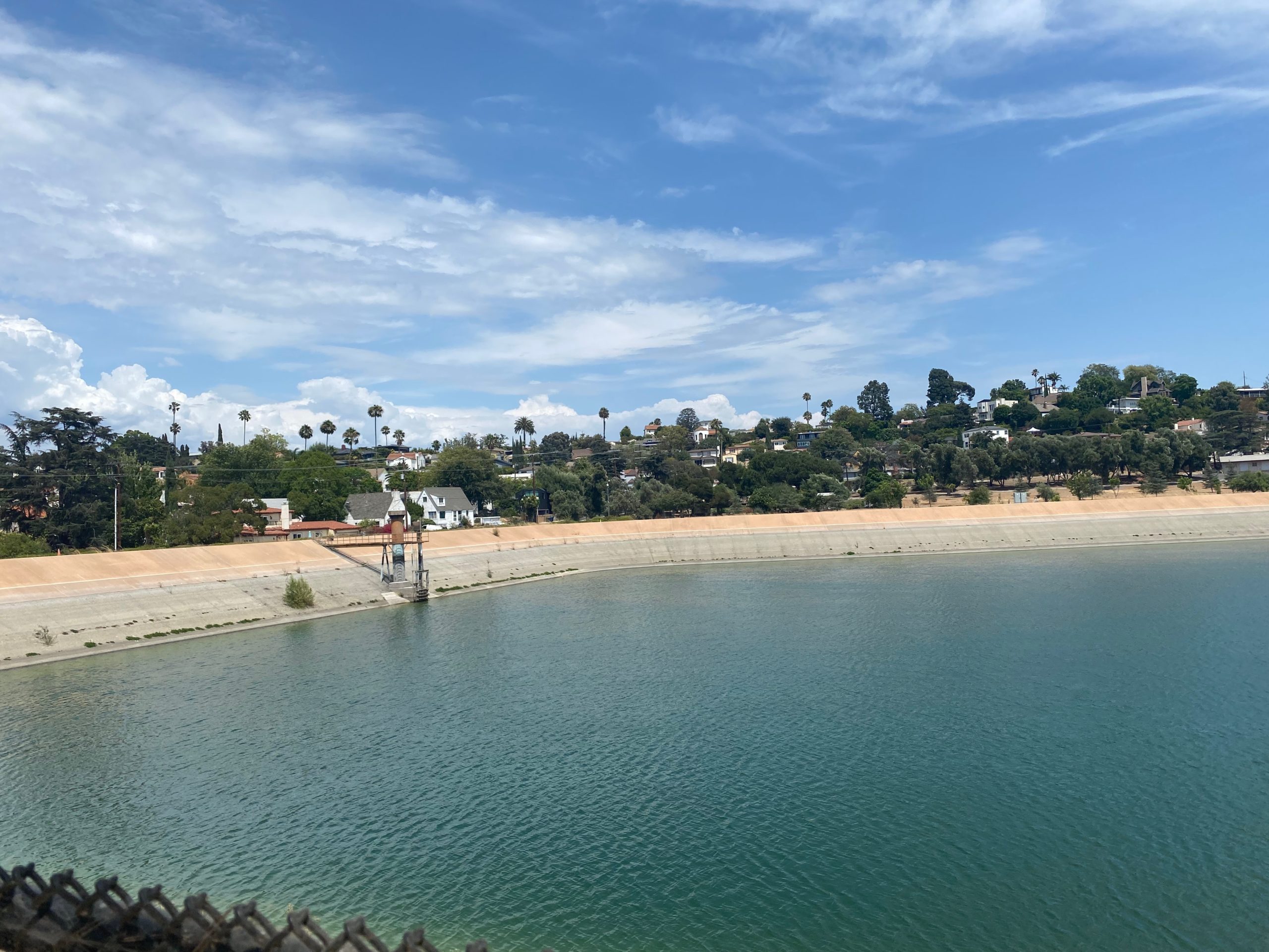
Head south, keeping the reservoir on your left and the street on your right. There are plenty of benches to rest and take in reservoir views under ample shade. The Silver Lake Reservoir is actually made up of two concrete-lined basins. The part of the reservoir you’re seeing here is called the Ivanhoe Reservoir, and the larger portion is simply called Silver Lake. Silver Lake (the reservoir and the neighborhood) was named in 1906 for Herman Silver, the Water Board Commissioner, and was completed in 1908.


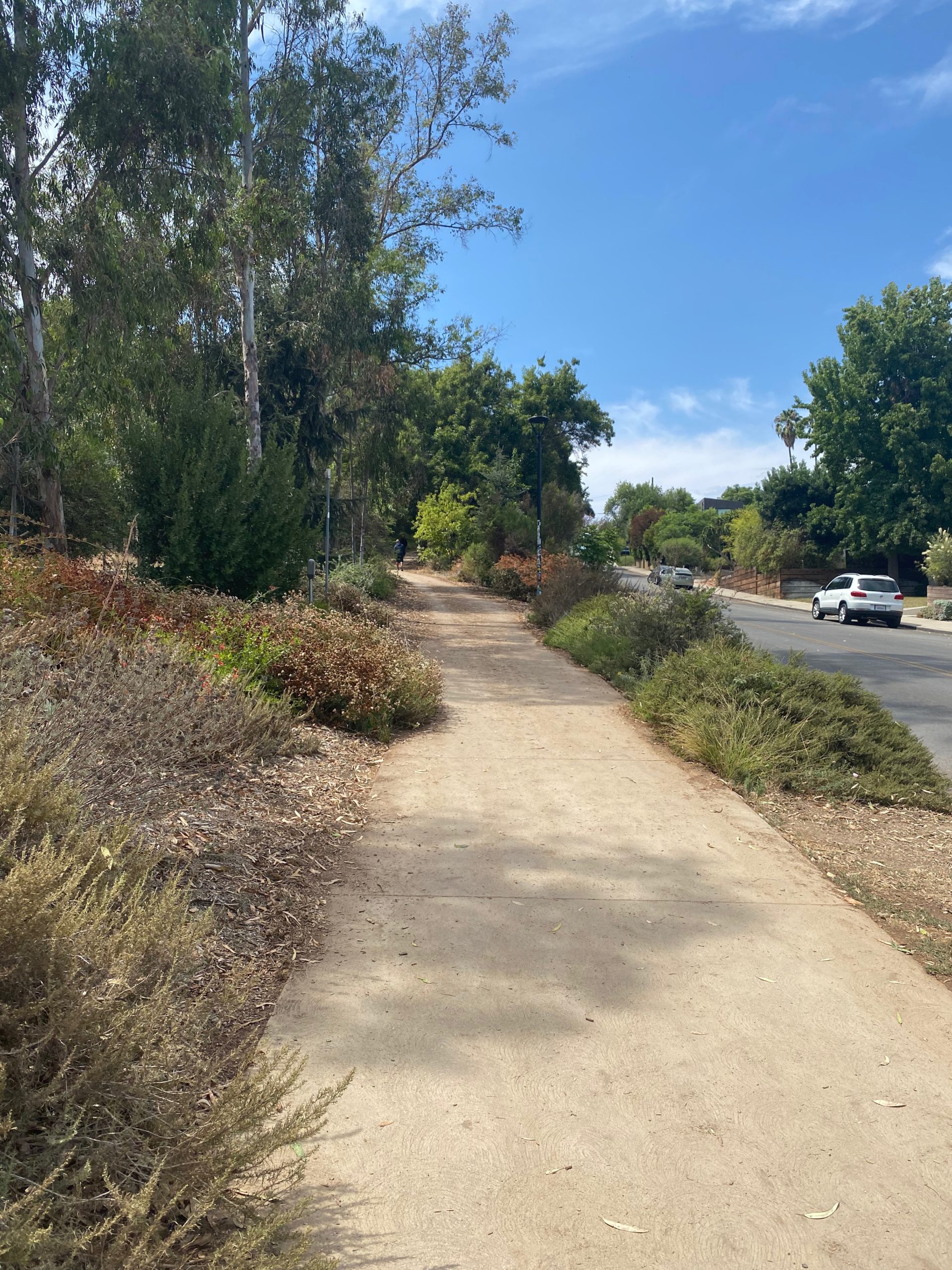
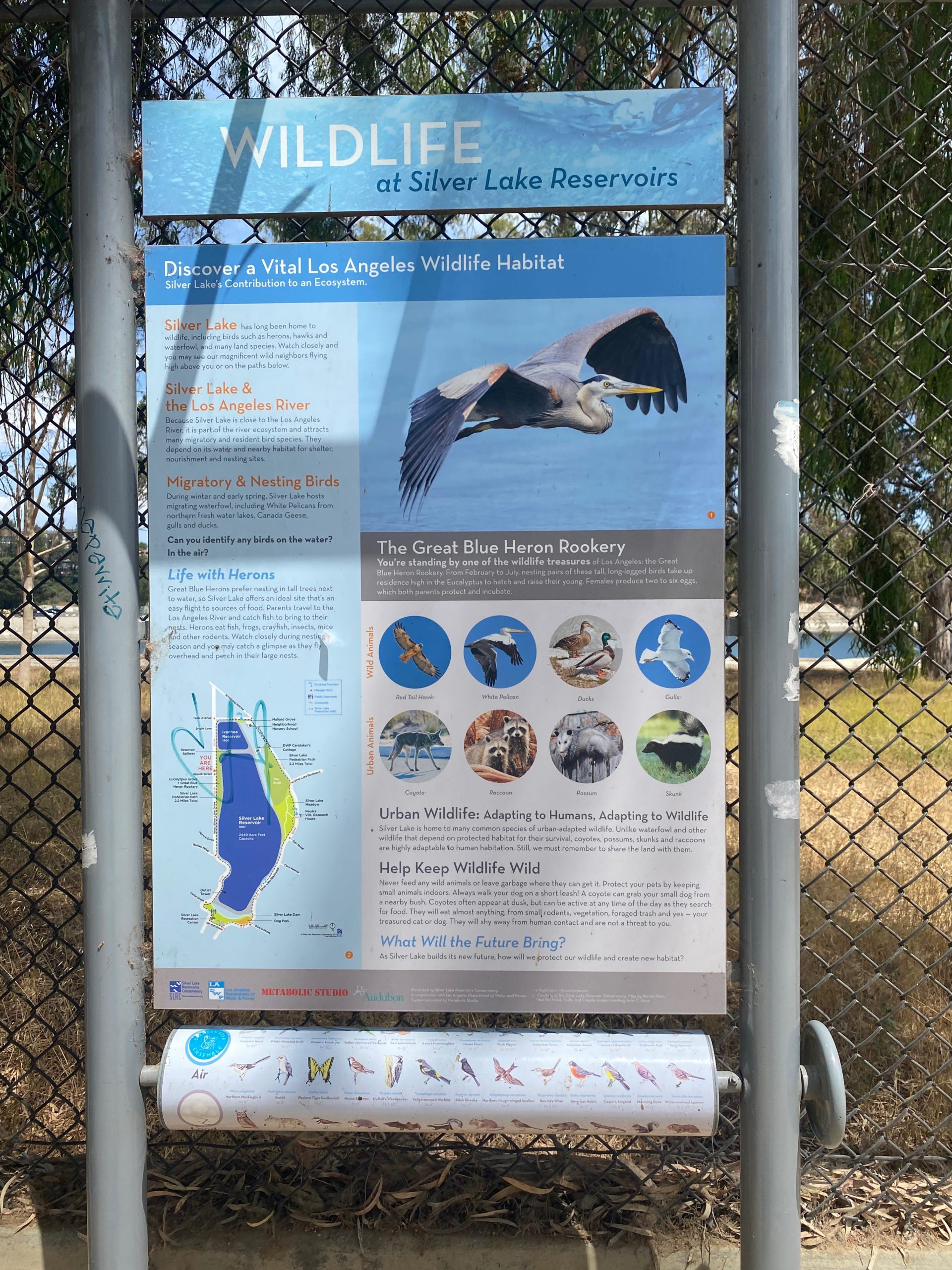
The unpaved path continues, and soon you’ll see Silver Lake Reservoir on your left. This is where you’ll have to exit the fence, as the path closest to the reservoir is restricted to pedestrians. There are still benches and trash cans scattered along your route, and dogs are welcome (but must be leashed). From here on out, you’ll notice tons of eucalyptus trees, thousands of which were planted as early as 1911 to try to make the concrete space a bit greener. Depending on the season, you can spot blue herons hanging out in the trees — a plaque along your route boasts some facts about the birds, if you feel inclined to stop for a bit of light reading.


As you reach the tip of the reservoir, a paved path to your left will open up. Veer left to take this path. You’ll notice that down to your right is both the recreation center and the dog park. This is the best place to get the full view of the reservoir and the San Gabriel Mountains beyond — if you’re looking for a spot to take pictures, this is it!


Exit the paved path, and keep left to continue, with the reservoir on your left this time and Silver Lake Boulevard on your right. On this side of the reservoir you’ll find a beautiful and diverse selection of trees scattered about, helping to distract from the traffic, and there’s plenty of unique architecture to check out as well. One home, Silvertop, was built in 1963 by famed architect John Lautner. There’s also a water fountain on this side if needed.


As you continue, you’ll notice the entrance to a big, beautiful green space perfect for picnics and resting under large trees. There are two paths at this point — the one on the left takes you through the green space, and the one on the right takes you around. Both paths converge again, but if you have a dog with you, you’ll need to take the outside path, as dogs aren’t allowed inside the park area. This portion of the hike is also filled with wildflowers and even lizards. This is the part that really makes you feel like you’re no longer in the middle of the city (it’s also the only portion where the street isn’t visible).


You’ll come across a fence — go straight through and keep left (this is where the non-dog path and the park path reconvene). Turn left on Armstrong Avenue, and take the shaded uphill paved path. This is the steepest part of the trek, but it doesn’t last very long. Turn left on Tesla Drive. You’ll pass the reservoir native gardens, where you can stop to take in the flora and fauna. Past this, you’ll have looped right back to where you started.
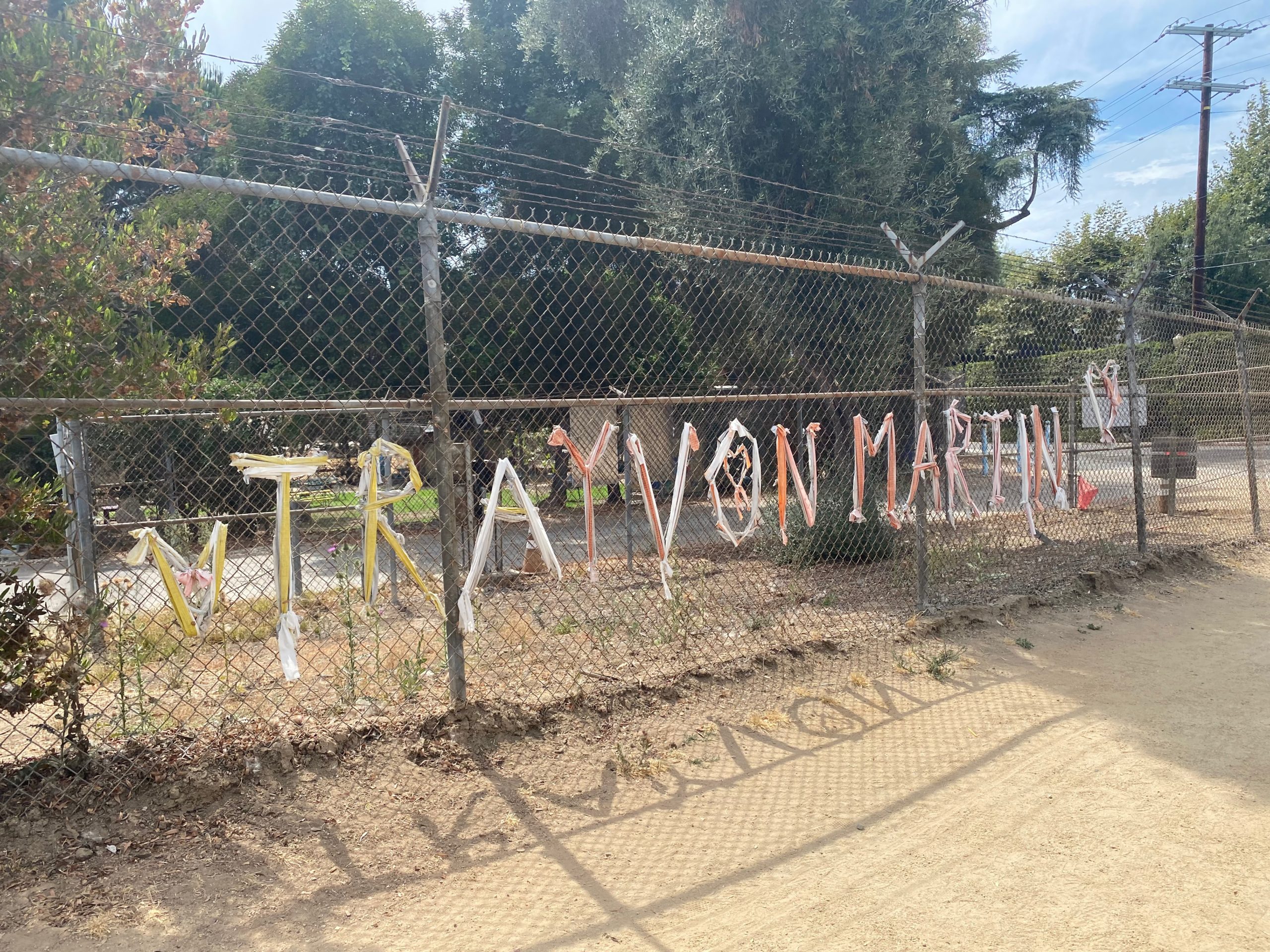
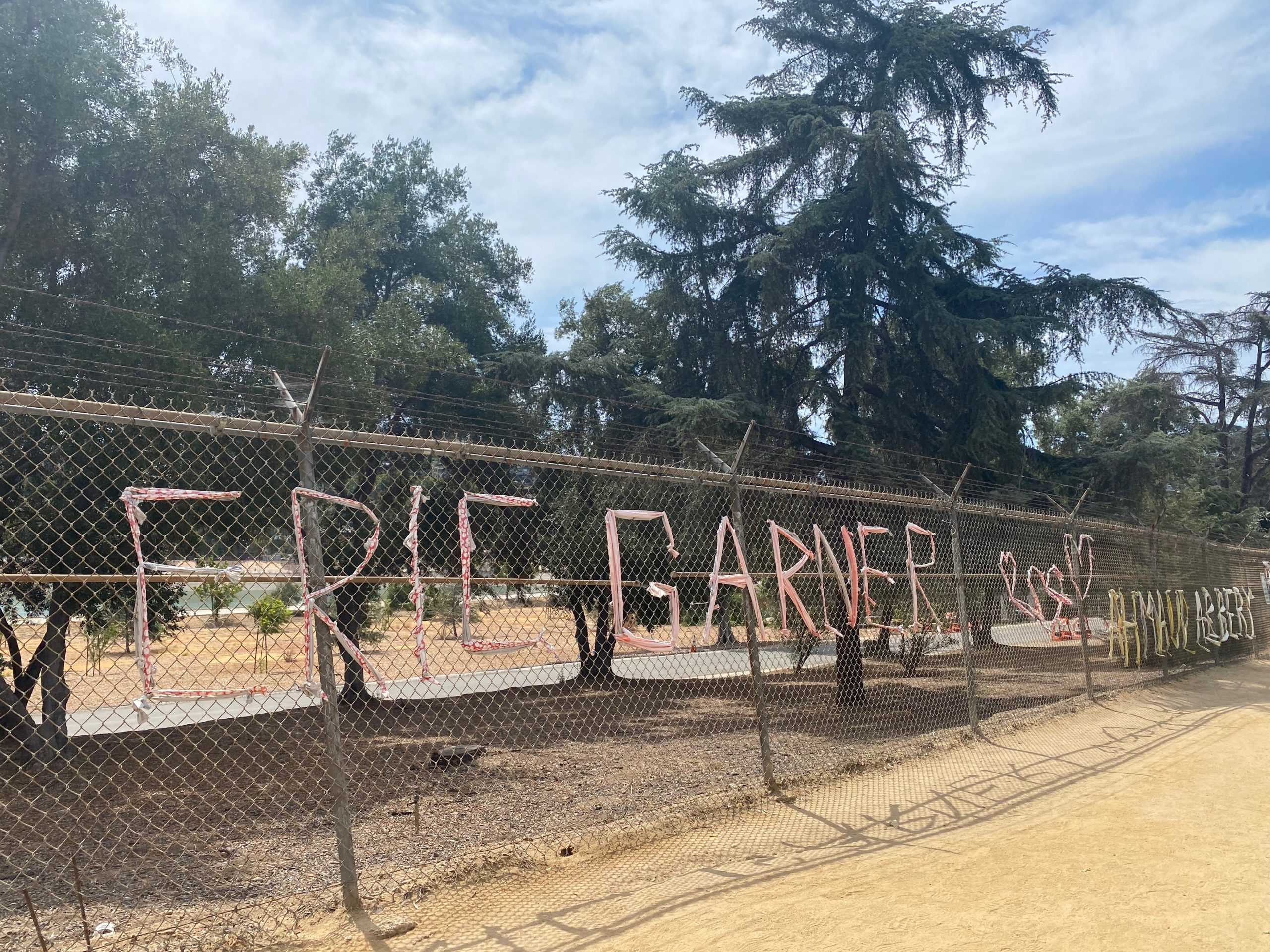
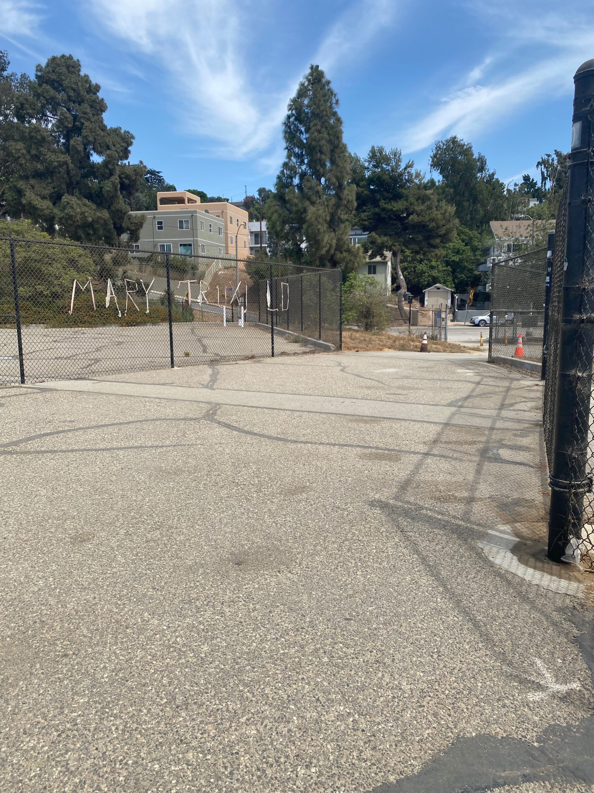
There you have it! A short jaunt in the middle of the city that offers clear reservoir views, a few parks for some leisure time, and plenty of nature to take in along the way. When I was there, there were also fabric signs all along the reservoir fences noting the names of people of color who had been killed by police. The images below are just a few of the names posted on the fences. And at the end, a full quote from the Amanda Gorman poem Hymn for the Hurting: “May we not just ache, but act.”


Tags: Los Angeles, reservoir, silver lake, silverlake