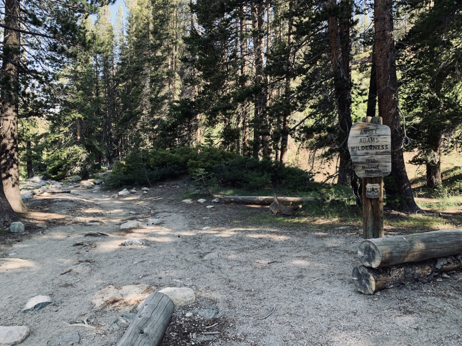
John Muir famously called the Sierra Nevada the “Range of Light,” and it’s easy to see why. Electric pink alpenglow paints its way down craggy granite peaks, wildflowers practically explode across the meadows in an orgiastic rainbow, and mist from roaring waterfalls can magically dilute even the sunniest day. The Ansel Adams Wilderness is one of the most stunning areas of the Sierra Nevada range, which is no easy feat! Full of breathtaking alpine lakes surrounded by the rocky spires of the Minarets, this is the perfect area to explore if you’re in Mammoth and looking for an adventure, and a visit along this 9-mile (round trip) trail to Shadow Lake is one of the best day hikes out there.
Shadow Lake can also be accessed from the south via the John Muir Trail, and if you’ve got a few days on your hands, it can be added onto a gorgeous, multi-day Minaret Lakes loop with ease. This area is extremely popular with backpackers, so plan your trip early and try to nab a permit in advance (at Recreation.gov) if you’re interested in spending the night.
It should also be noted that this is an active bear area, and bear-resistant food storage containers are required for storing all food and smellables during overnight stays. Mosquitoes can also get beastly in the warm summer months, so bring along a net or some bug spray if you know you’re prone to getting eaten!
For backpackers, the day will start with a lovely morning jaunt over to the Mammoth Lakes Welcome Center to pick up a permit. For day hikers, the day will begin by parking as close as possible to the Mammoth Adventure Center and grabbing a shuttle pass before waiting for the bus towards Reds Meadow. Shuttle passes are $8 for adults, $4 for children 3-15, and free for kids 2 and under, as of 2019. This shuttle is required for everyone arriving between the hours of 7am – 7pm to minimize traffic and impact on the area.
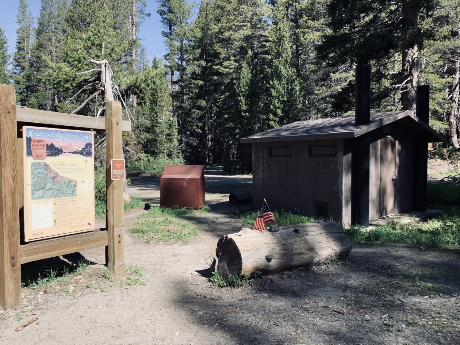
The shuttle ride is truly beautiful, with majestic views of Mt. Ritter, Mt. Banner, and the jagged spires of the Minaret range peeking out from behind the large windows. For the River Trail, you’ll want to hop off the bus at Agnew Meadows and take a short road walk past the junction for the High Trail, continuing straight for 0.2 mile until a large sign next to a trash can and a pit toilet announces you’ve reached the Shadow Lake/River Trail trailhead.
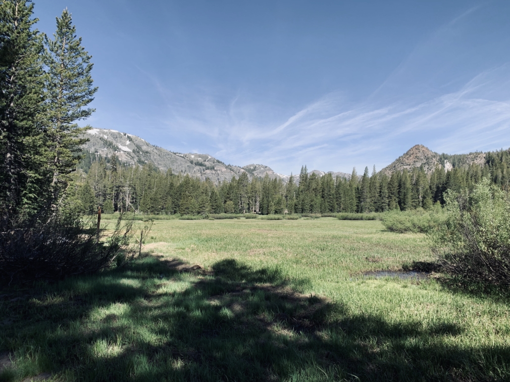
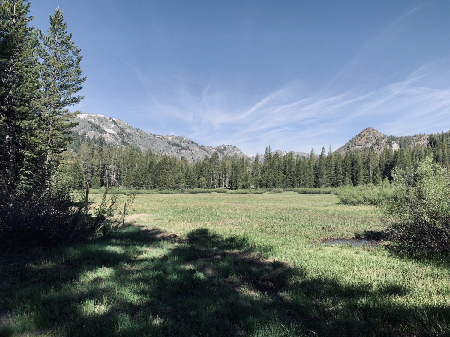
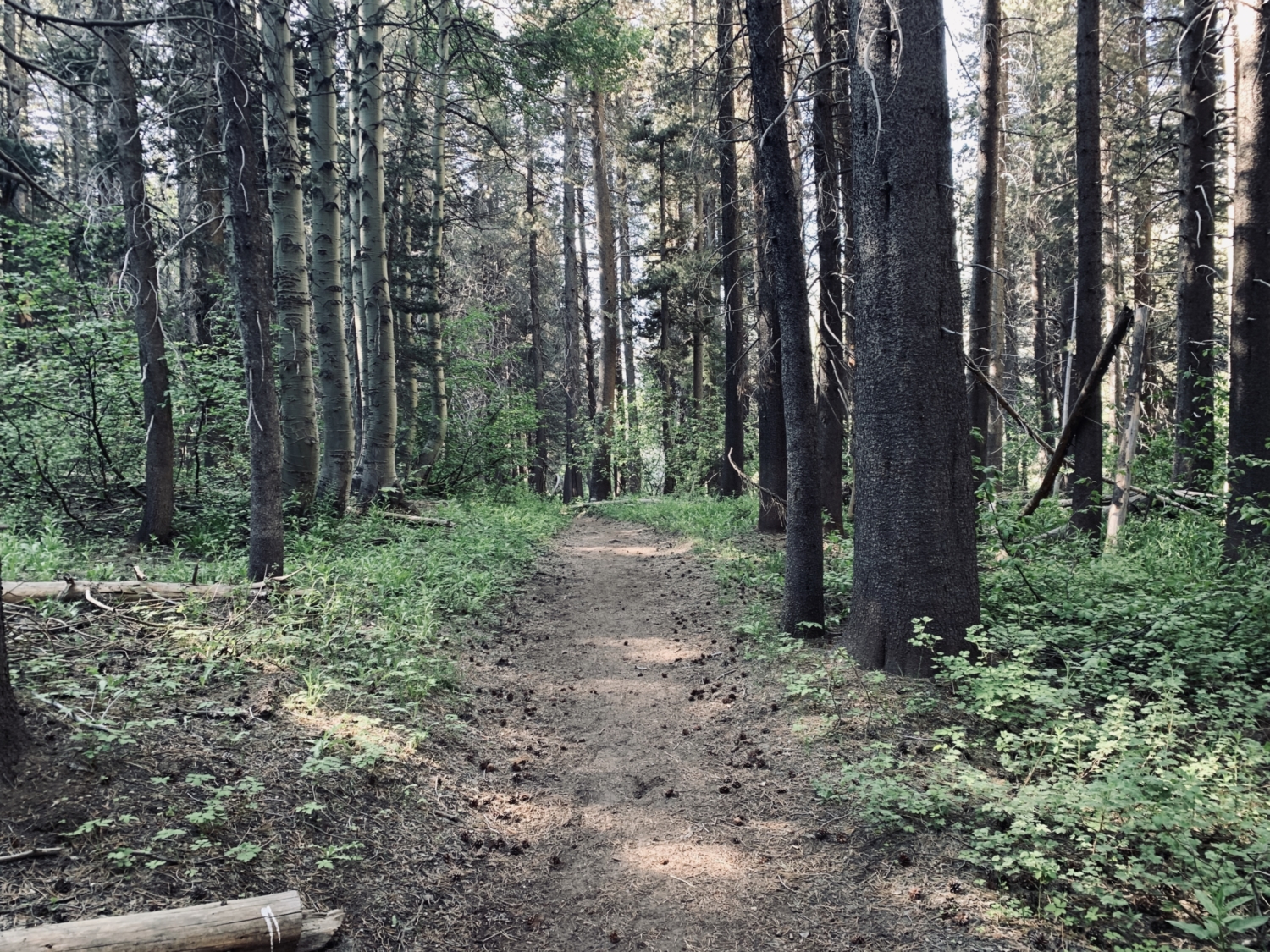
Agnew Meadows is a great place to scan for wildflowers in mid-late summer, with corn lilies, mountain lupine, and wavyleaf paintbrush gracing the trail with shocks of color and texture. The trail starts out wide, sandy, and gently graded for the first 2.6 miles, with the forest providing a welcome dose of tree cover as you warm your body up. It meanders past the San Joaquin River and offers perfect, mirror-clear views of Olaine Lake and the mountains above.
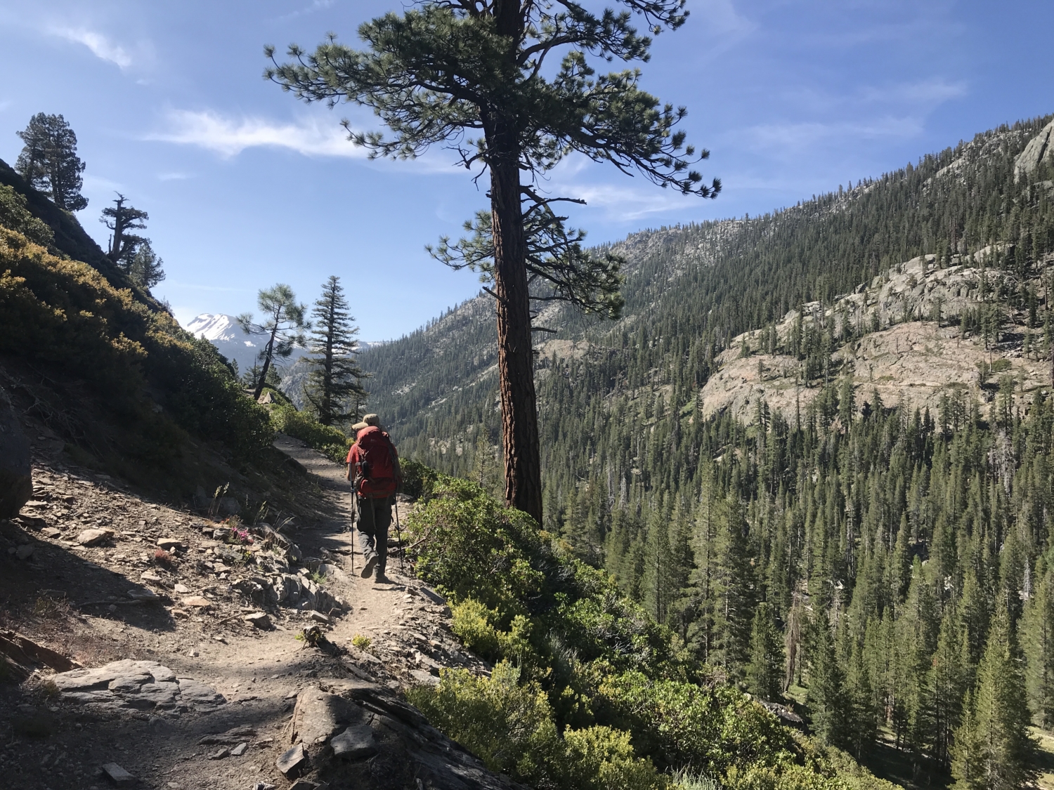
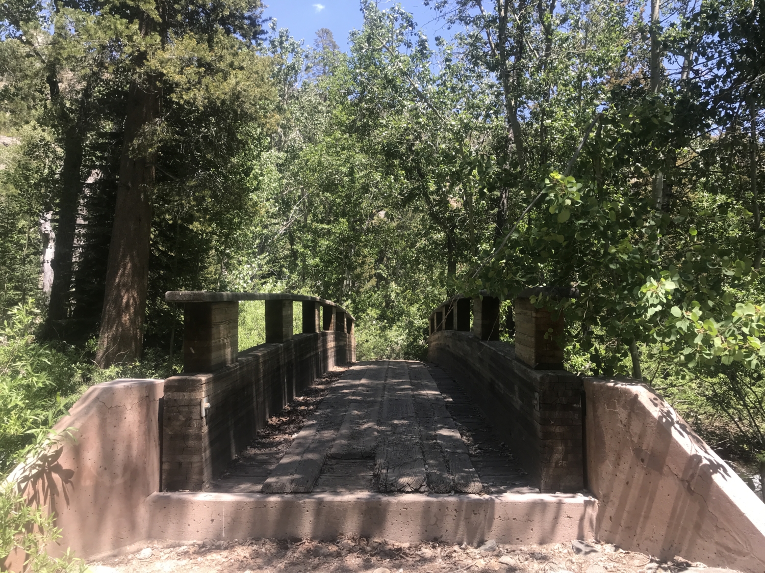
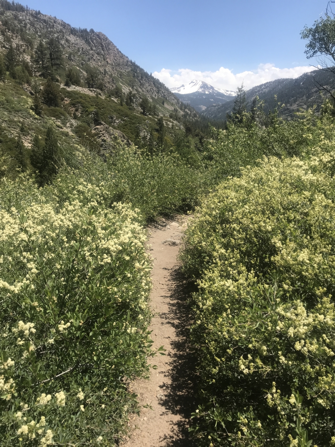
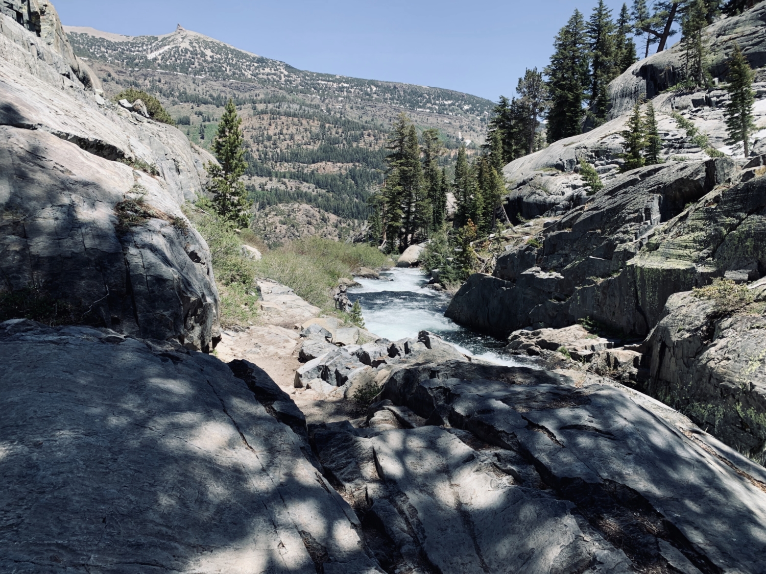
However, after veering left to cross the bridge spanning the Middle Fork of the San Joaquin River, get ready to climb, because the next mile is a leg buster – rising over 750 feet up and out of the canyon. This stretch of trail offers some of the best views of the entire experience, so try not to kill yourself on the ascent. Instead, why not turn around, feel the mist from Shadow Creek’s waterfall on your face, smell the blooming mountain whitethorn, and gaze out at the higher peaks beyond? On a clear day, hikers will be rewarded with impressive views of Mammoth Mountain and the surrounding summits.
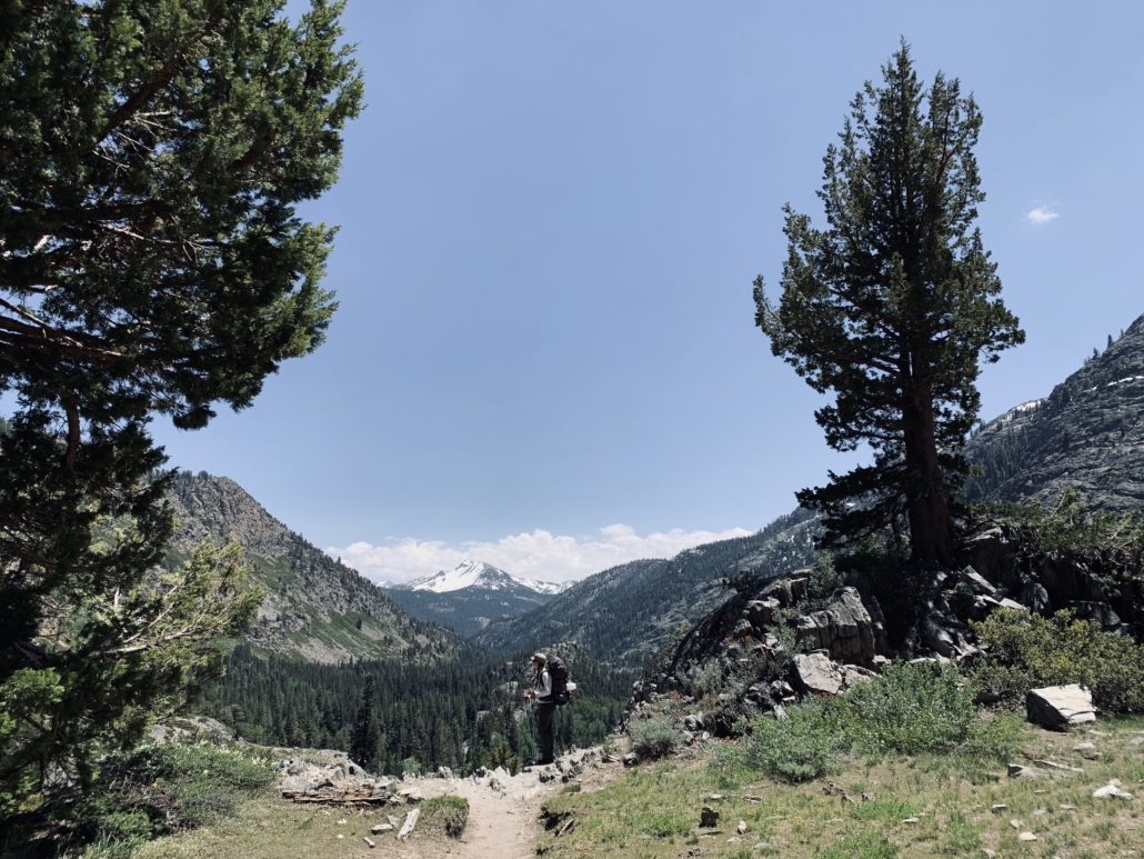
One of the things I found most surprising about this section of the journey were the massive, gnarled Sierra Junipers jutting out from the edges of the switchbacks at every turn. They felt ancient and ancestral, grounding me at the mere sight of them and reminding me why I go out in nature to begin with.
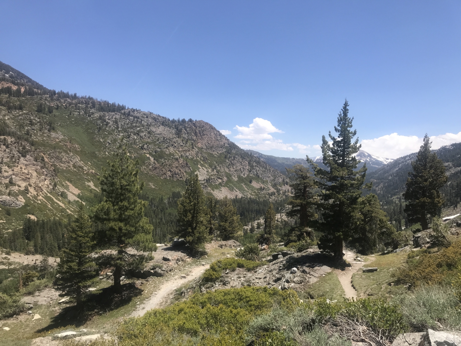
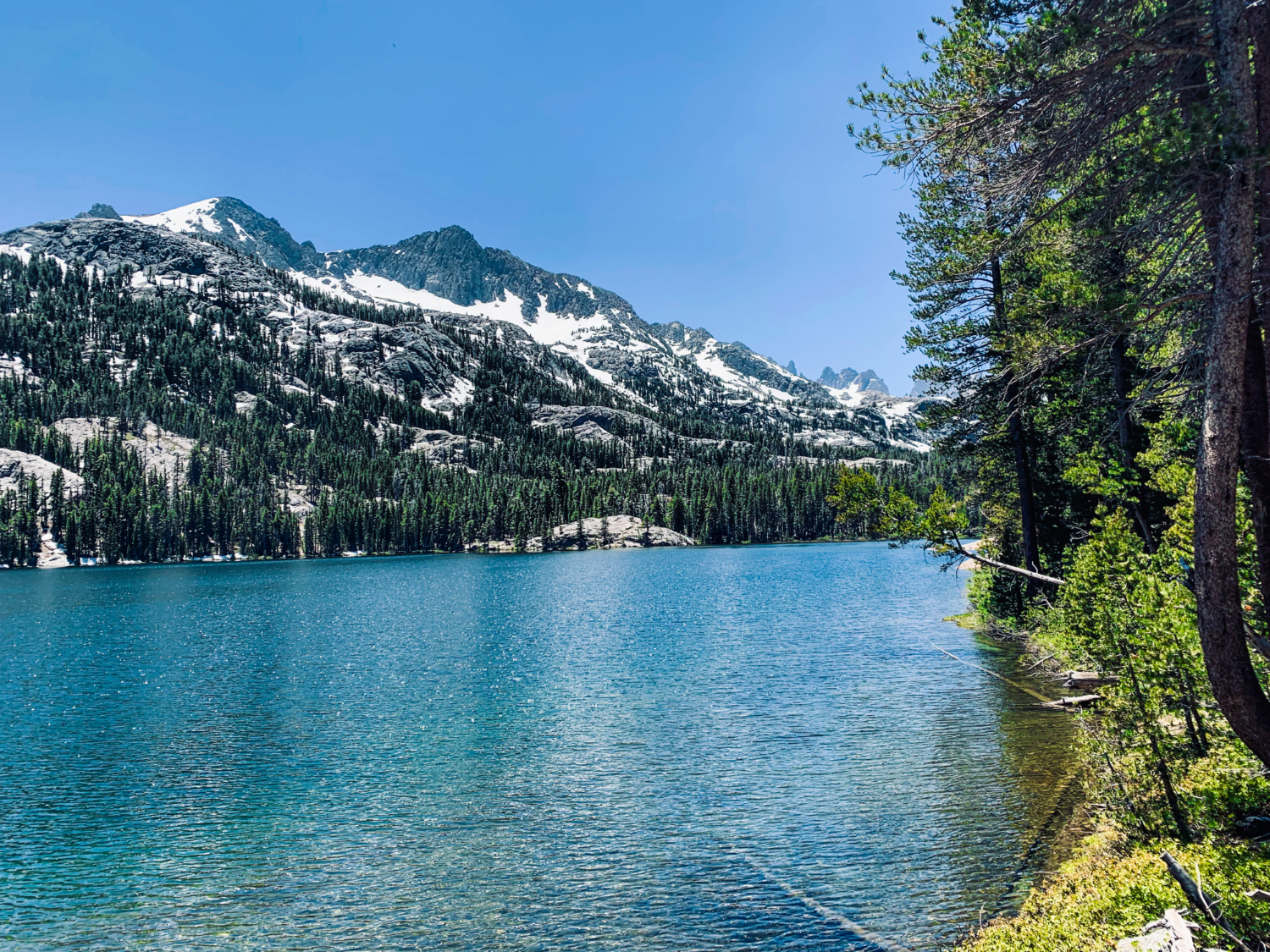
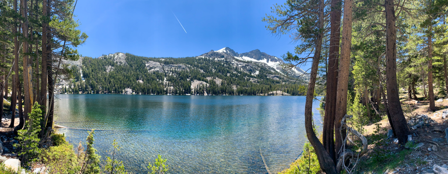
After a hot, sunny mile of climbing, the trail flattens out and offers spectacular views of tree-lined Shadow Lake. There are several great access points to the lake here to soak tired feet. My partner and I saw a couple of anglers when we strolled by, but they seemed forlorn because the fish weren’t biting that afternoon. The view seemed worth it, regardless.

From here, the adventurous can choose to add on the neighboring hike up to Rosalie Lake (1.3 miles each way) or Ediza Lake (2.5 miles each way). Those who are camping will continue hiking until they pass the bridge over the outlet from Ediza Lake. It’s tricky to follow the camping restrictions in this area, so keep an eye out for any posted signs lending intel.
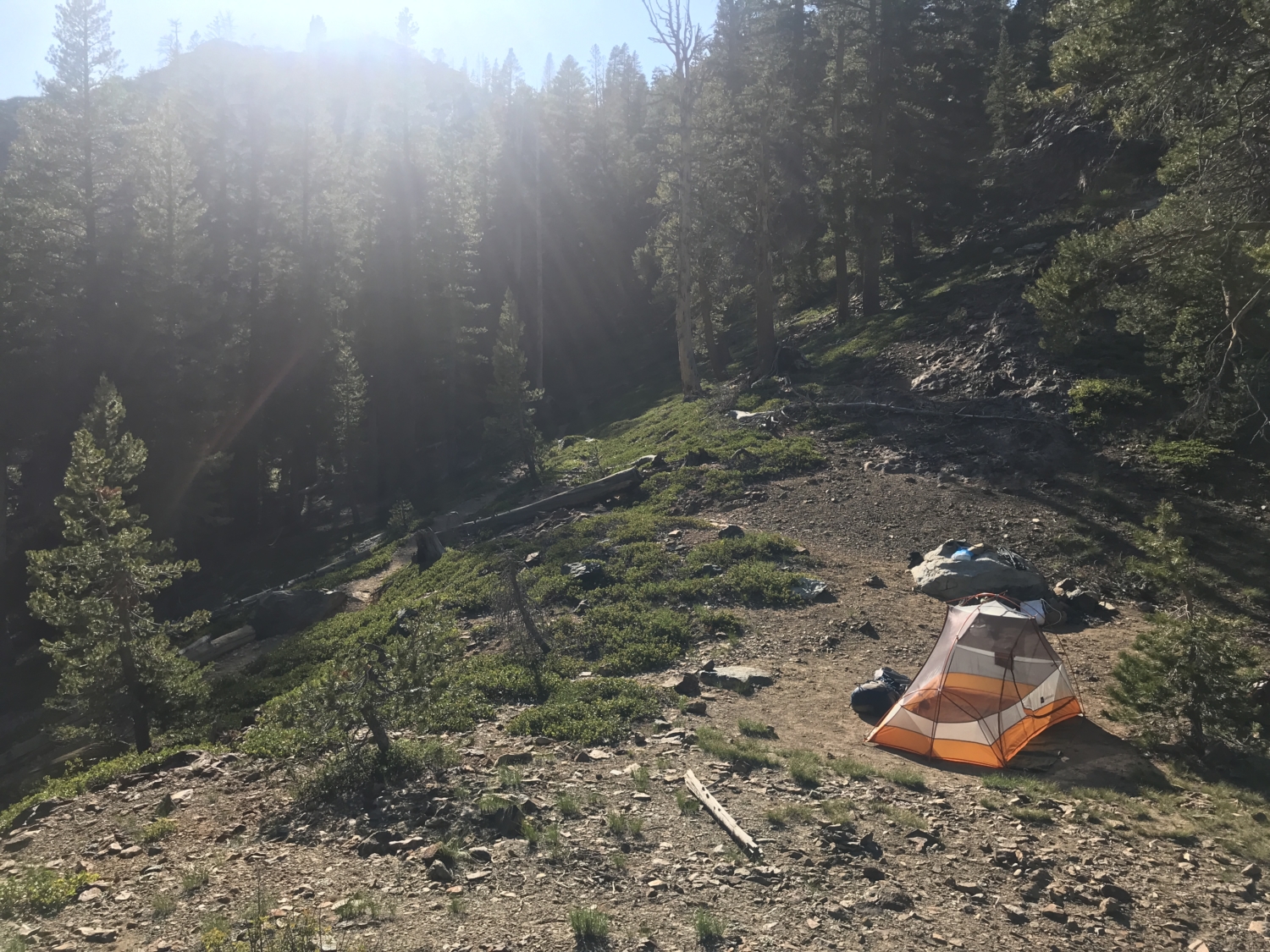
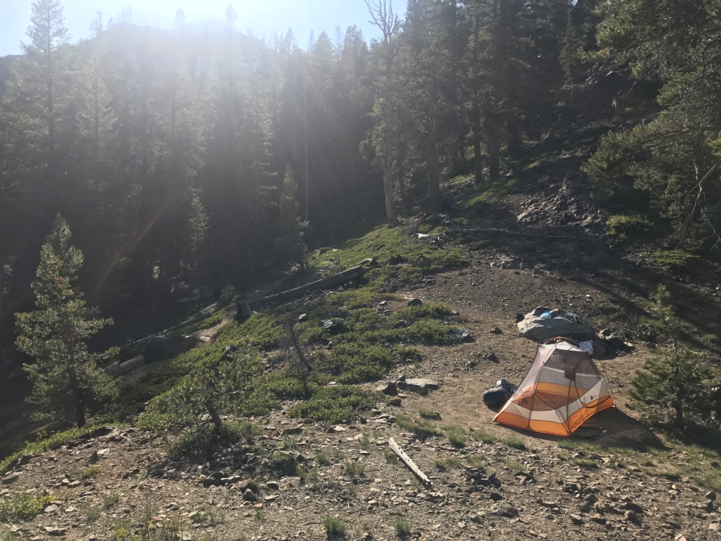
Camping near Shadow Lake can feel a bit restrictive, but as long as you are on the western side of the lake and at least 300 feet from the shore, you should be pretty safe. The official rule is: no camping around the watershed of Shadow Lake (300 feet), and no camping between the Shadow Creek Trail and Shadow Creek from Shadow Lake to the Lake Ediza outlet crossing.
That’s a mouthful to remember! The easiest way to find the best camping spots is to simply go west along the JMT. There are tons of shaded, flat campsites with a great view of Shadow Creek and the Minarets if you continue further down the JMT for about .2 miles after Shadow Lake. (Another great option for overnight hikers lucky enough to grab a permit is to extend the trek to Ediza Lake.)
This area of the Ansel Adams Wilderness is low elevation enough to boast a ton of old growth pine trees, so it’s an excellent place to bring a hammock, read a book, and relax in the shade before it’s time to pass out in your tent or turn around and hike back down the mountain. The last shuttle leaves at 7pm, so be sure to turn around in time to catch it, lest you face a lengthy road walk in the night!
The River Trail to Shadow Lake gives curious hikers a taste of the best of everything this corner of Mammoth has to offer. From the sweeping views of the Minarets on the shuttle ride to the rocky Shadow Creek waterfall that overlooks the river valley, to the sapphire blue dollop of Shadow Lake itself. This is one of those perfect Sierra hikes that does not disappoint for a single second.
Tags: alpine lakes, Ansel Adams Wilderness, Backpacking, day hikes, Inyo National Forest, lakes, mammoth, Mammoth Lakes, Shadow Creek Trail, wildflowers