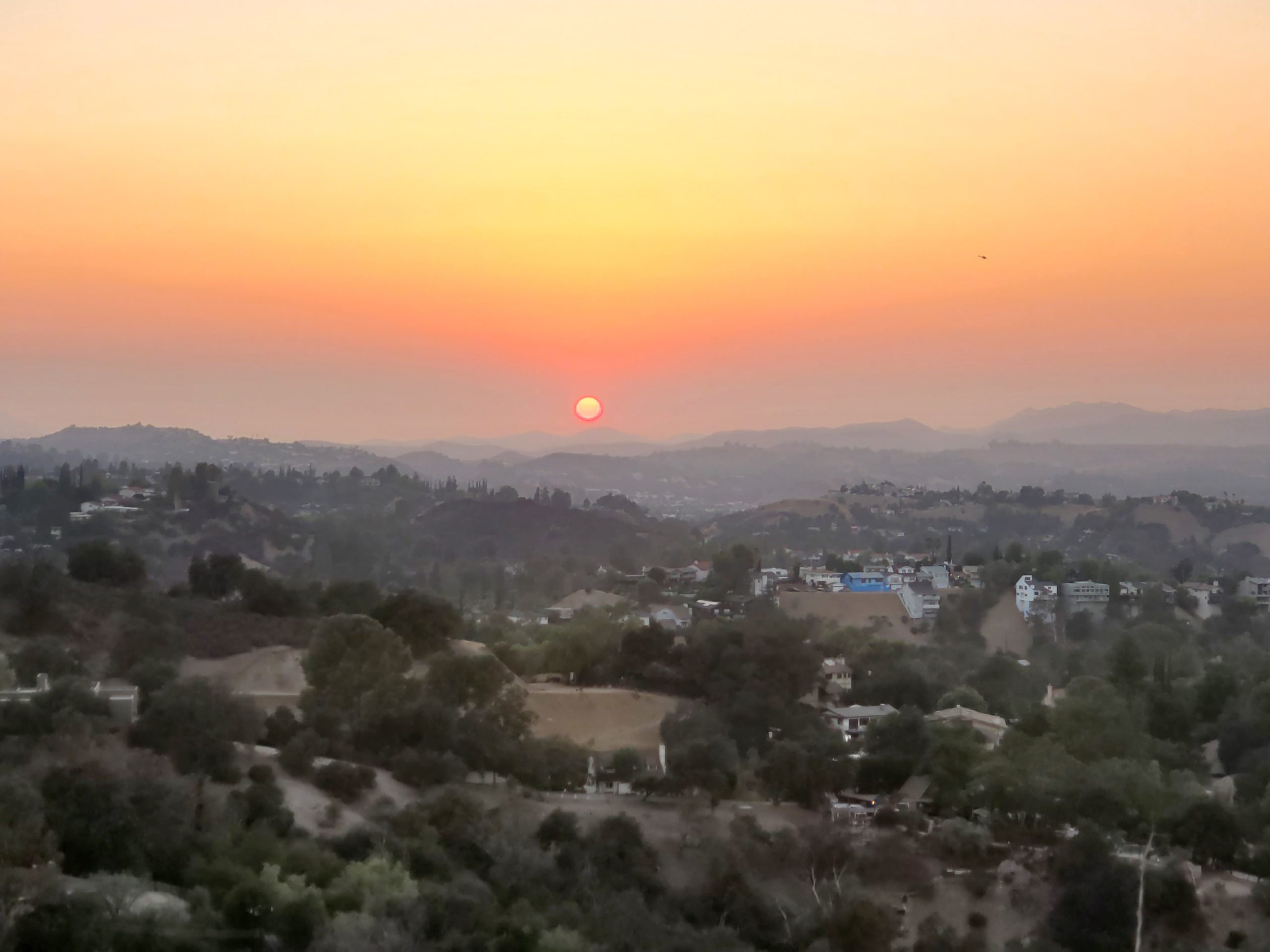
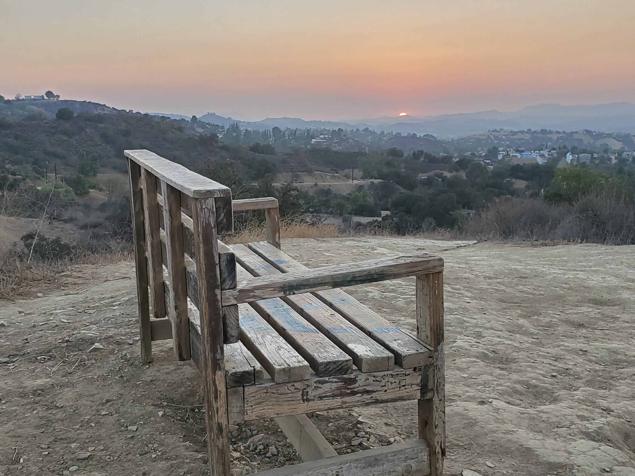
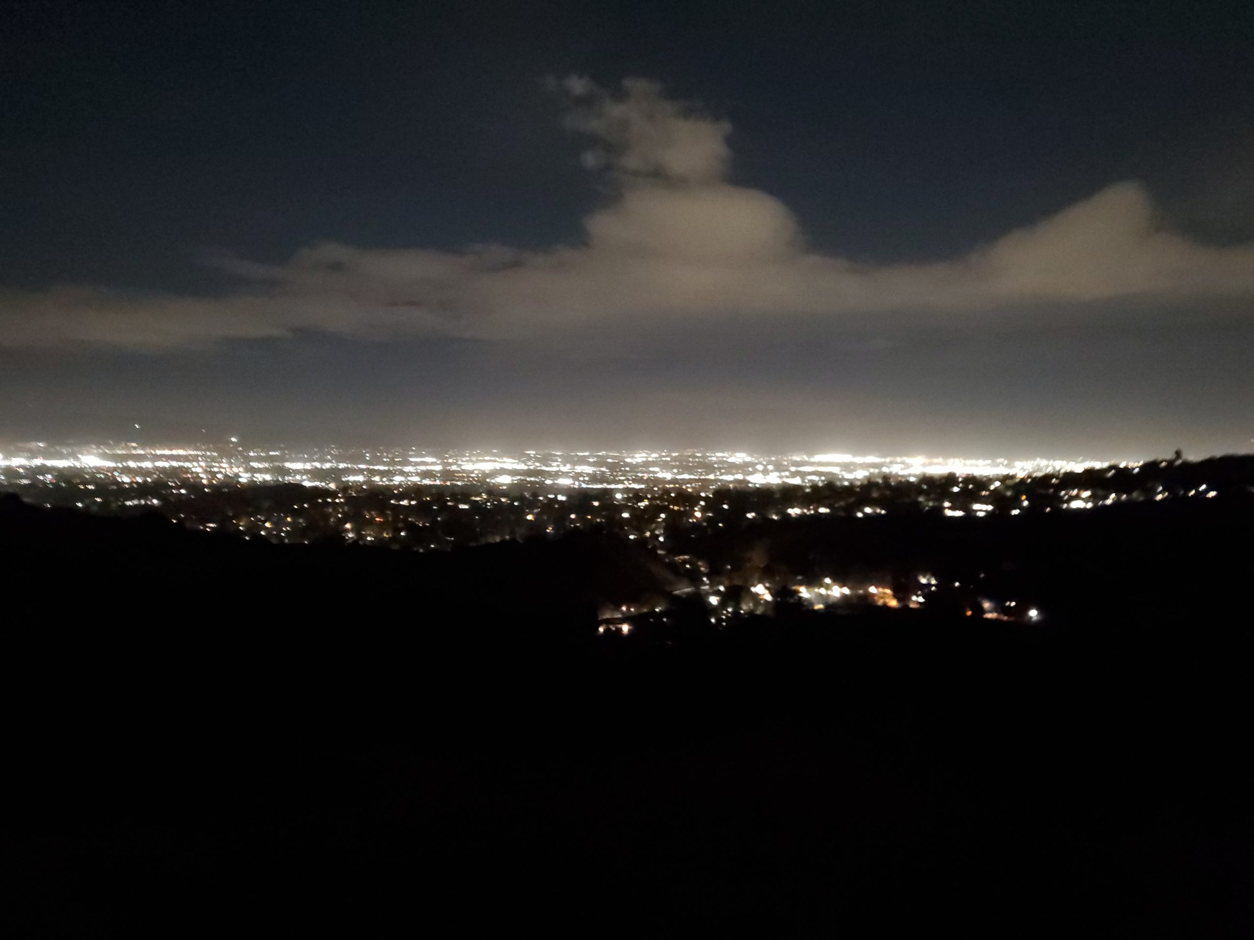
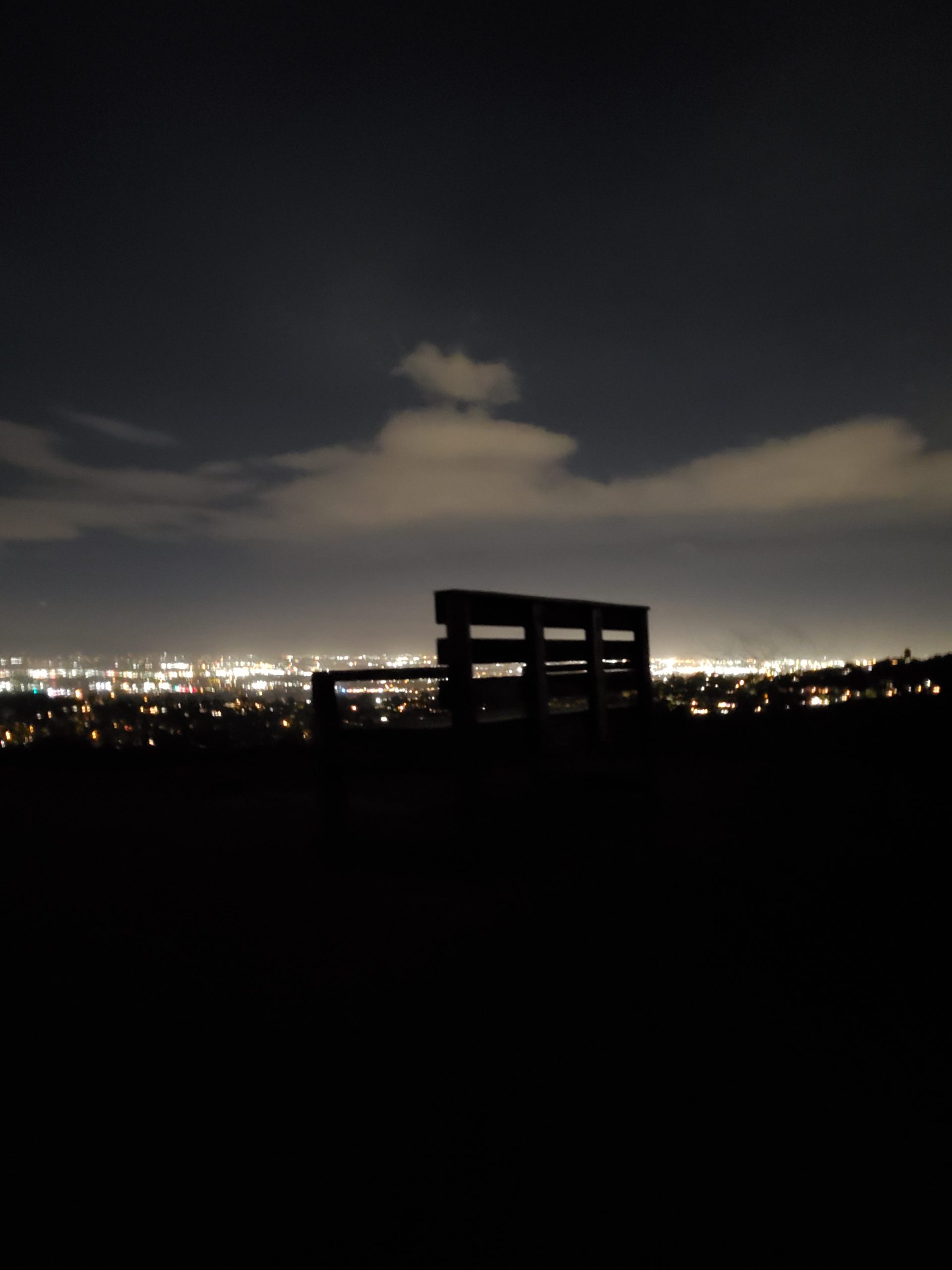
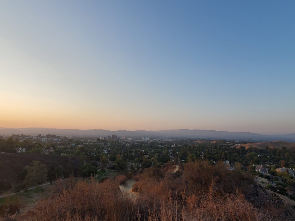
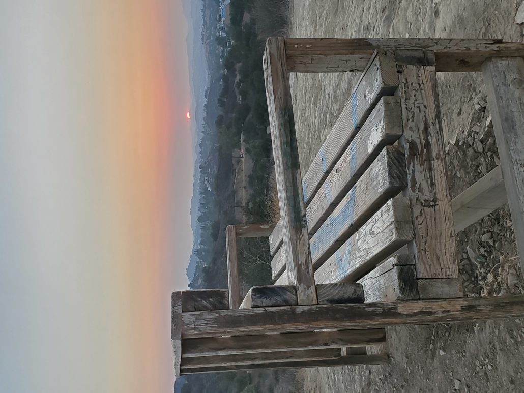
Serrania Ridge Trail is a local gem found in the foothills of the Santa Monica Mountains. This dog-friendly hike can be completed in 1-1.5hrs, which makes it a great choice for a beginner’s hike or weekday adventure. While it can be completed year-round, there is very little shade, so it’s worth doing this hike early or late in the day. The highlight of this trail is the summit, which features a perfectly placed bench to enjoy views of the San Fernando Valley and an opportunity to see gorgeous sunsets if timed correctly.
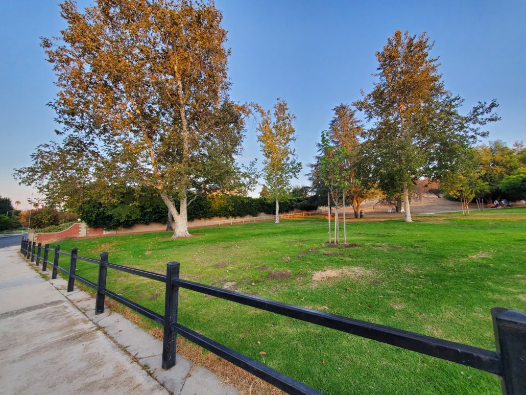
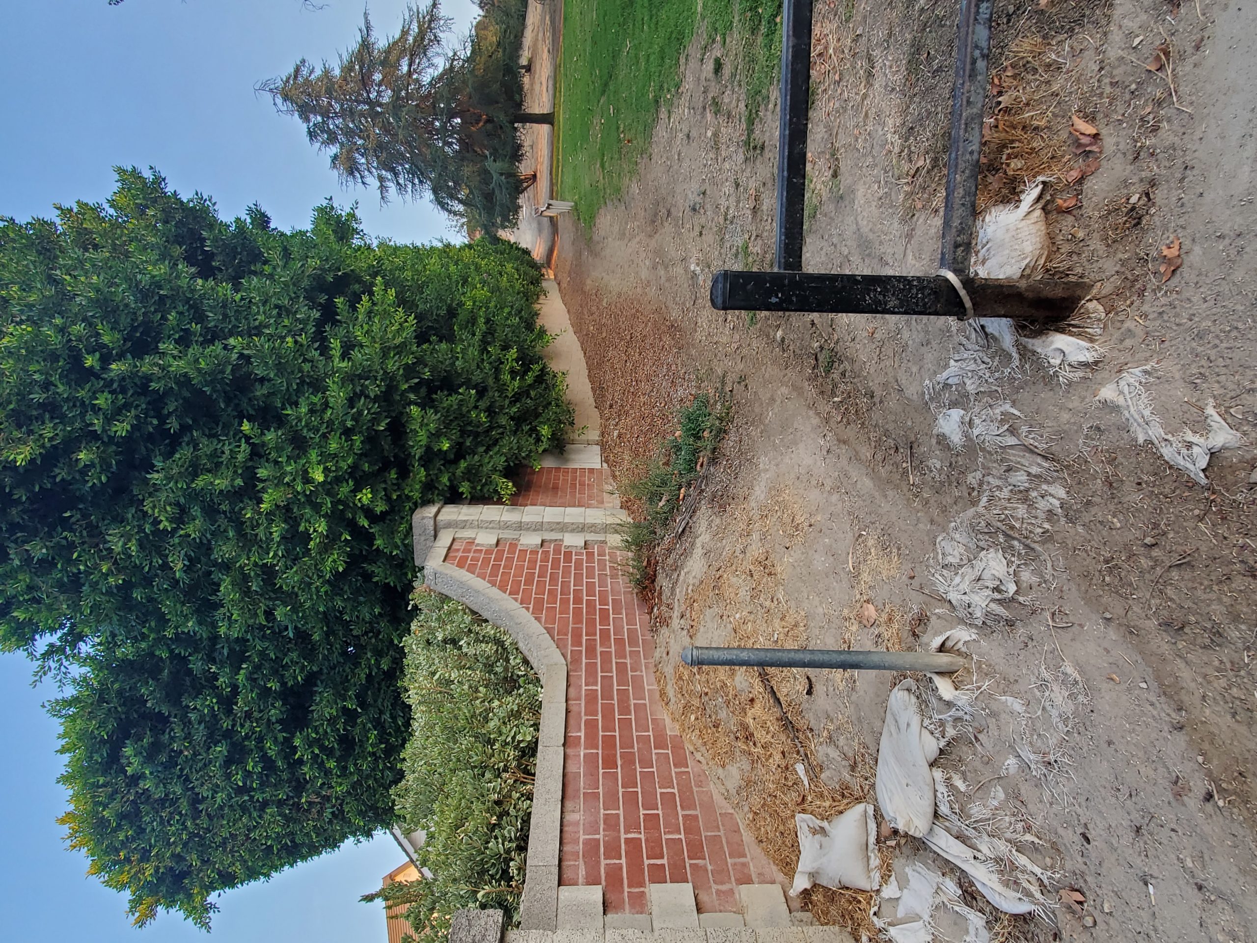
There is ample parking available at both the dedicated lot for Serrania Park, and on the street. The trailhead for the Serrania Ridge Trail begins on the edge of the East side of the park, and will be identifiable as the dirt path stands out from the surrounding grassy area. If you’re having difficulties, be sure to go all the way to the brick wall at the end of the park boundaries.

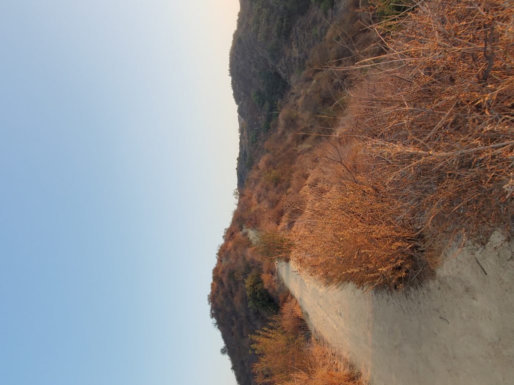
This hike begins by heading uphill, with the first section adding elevation gain over the unofficial dog park right away. You’ll quickly see houses pop up to your east, and the dogs in the park below you to your west, as you gain about 150ft in elevation.
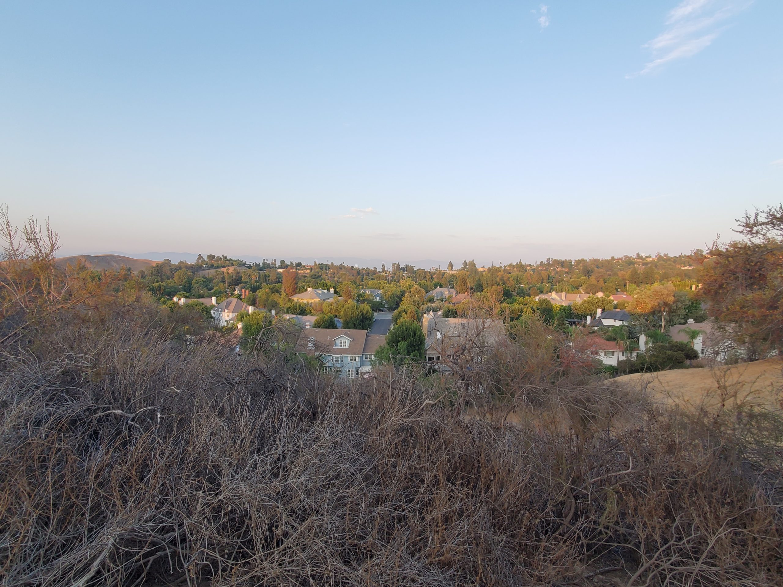
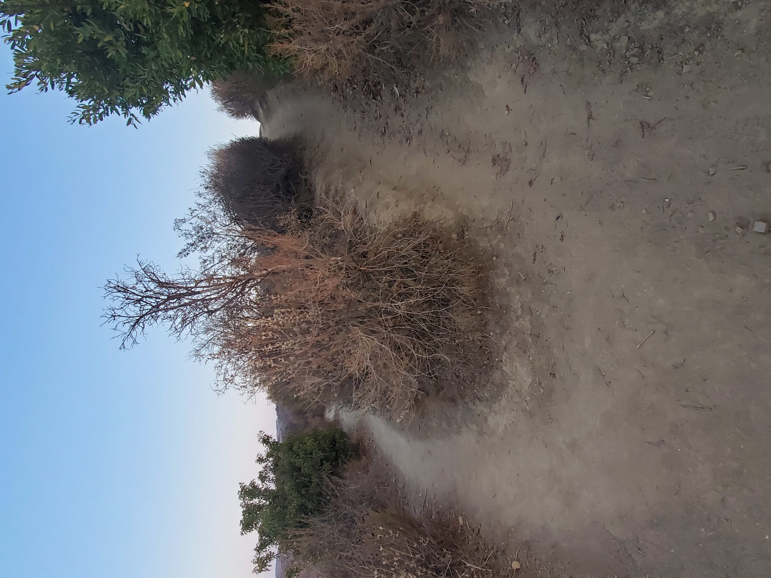
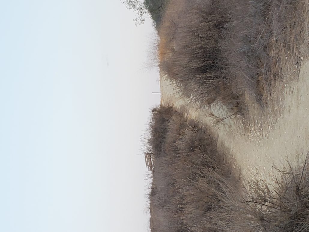
At 0.3 miles, you’ll get a short reprieve as you reach a flat section that gives you your first glance over Woodland Hills and the surrounding area. You’ll continue on this flat elevation as you’re ushered down the path by sagebrush on both sides. At this point, you’ll still likely hear the sounds of dogs and their owners playing at the park below.

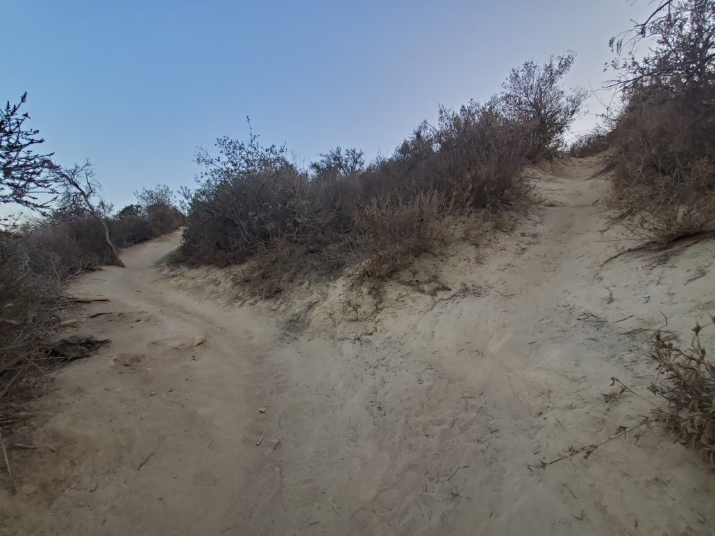
At 0.5 miles, you’ll note that the trail splits here, and while you can take either path to continue on the hike, the trail to your west will split again and has options that continue to loop all the way back to the parking lot in Serrania Park, or meet back to the main Serrania Ridge Trail further ahead. In this case, we’ll stick to the lower path to your east.
Immediately after this trail split, you’ll hit another section with about 100ft of elevation gain. If you chose to veer off the trail earlier, this is the section where you’d meet back up with the main trail.

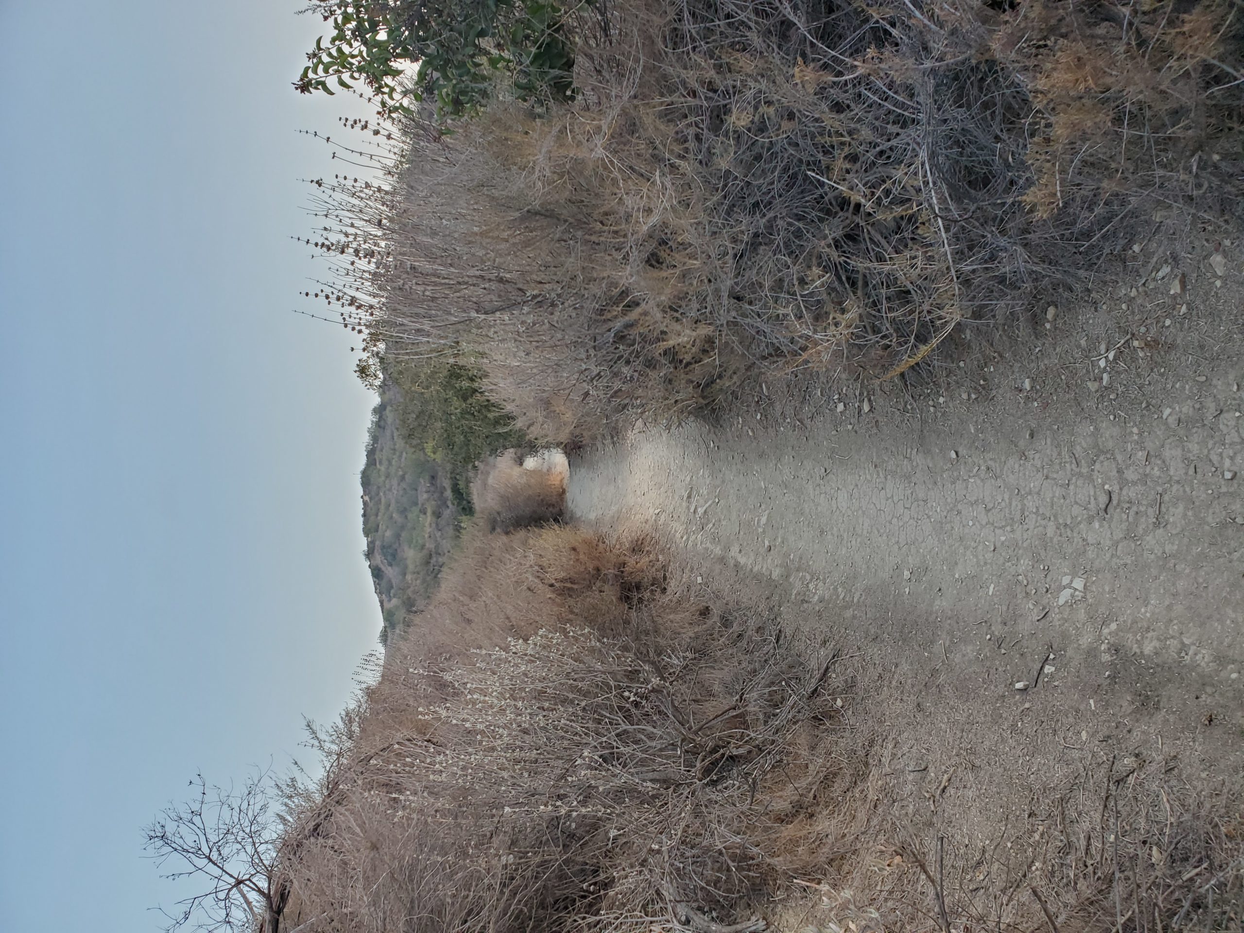
At 0.7 miles, you’ll level off again, and reach another fork in the road. This is a very quick offshoot where you can go either way and meet back to the main trail very shortly. The trail to your West will gain some elevation before dropping back down again to meet the trail, whereas the East will remain relatively flat.
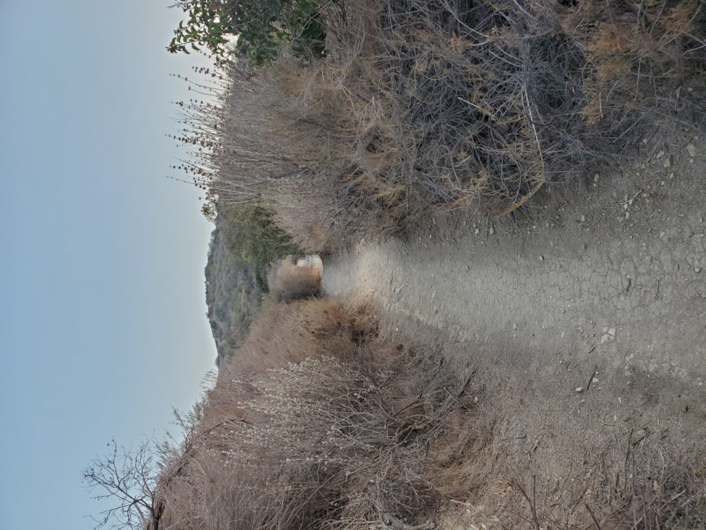
This flat section will be short lived, as you prepare for the final uphill push to get to the top of the hike. You’ll get a few peeks of the bench at the top, but it will otherwise remain hidden until you’re at the very final stretch.

At the 1 mile mark, you’ll pass the final spot where the trail splits off. The trail to your west leads to Prasa road, and the trail to your east leads to a dead end after 0.3 miles.
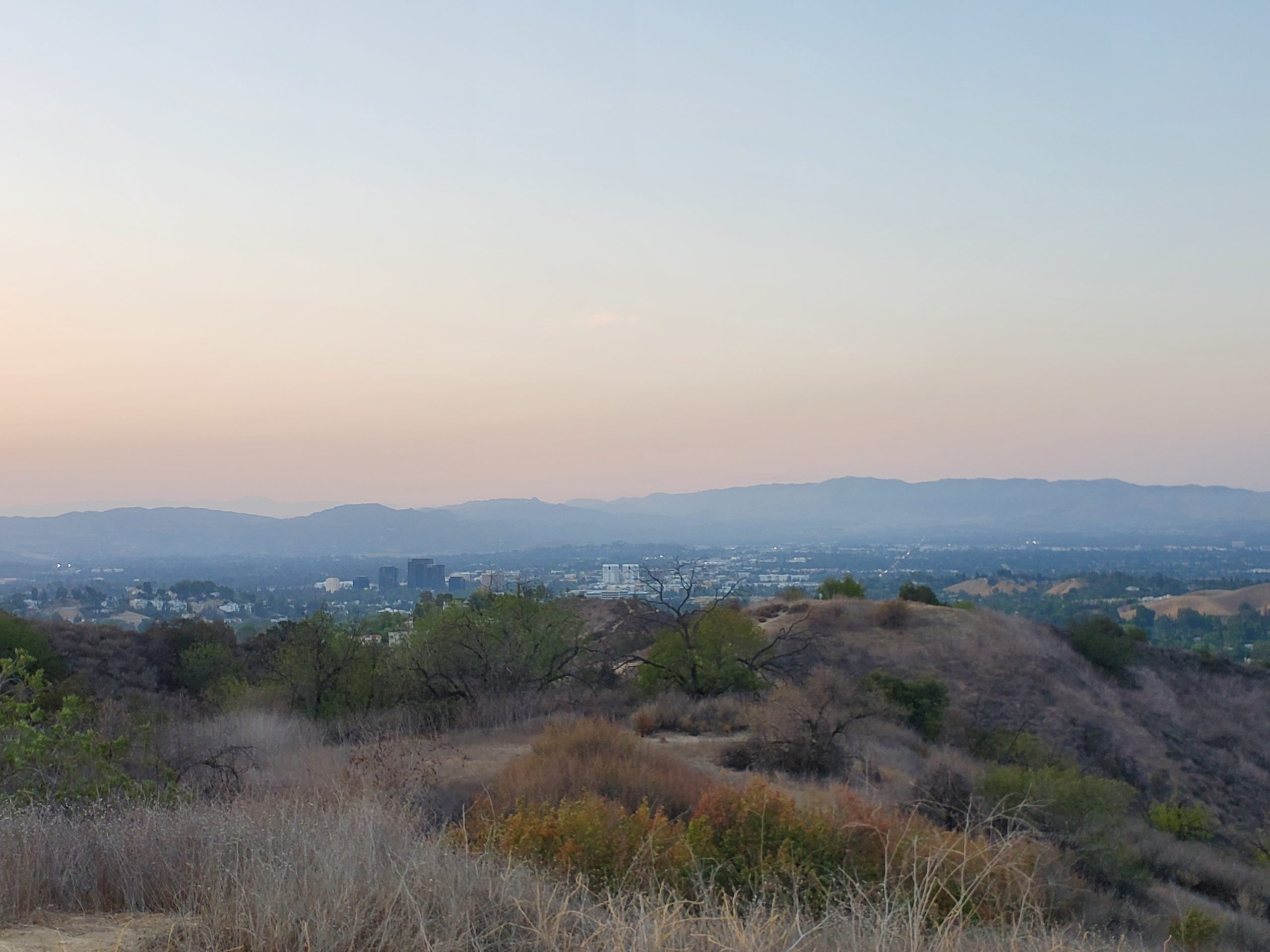
As you round the last corner on the trail, the park bench will finally come into full view as you see your destination in all its glory. You’ll then climb the final bit of elevation towards Mulholland Dr to arrive at the Serrania Park Bench.
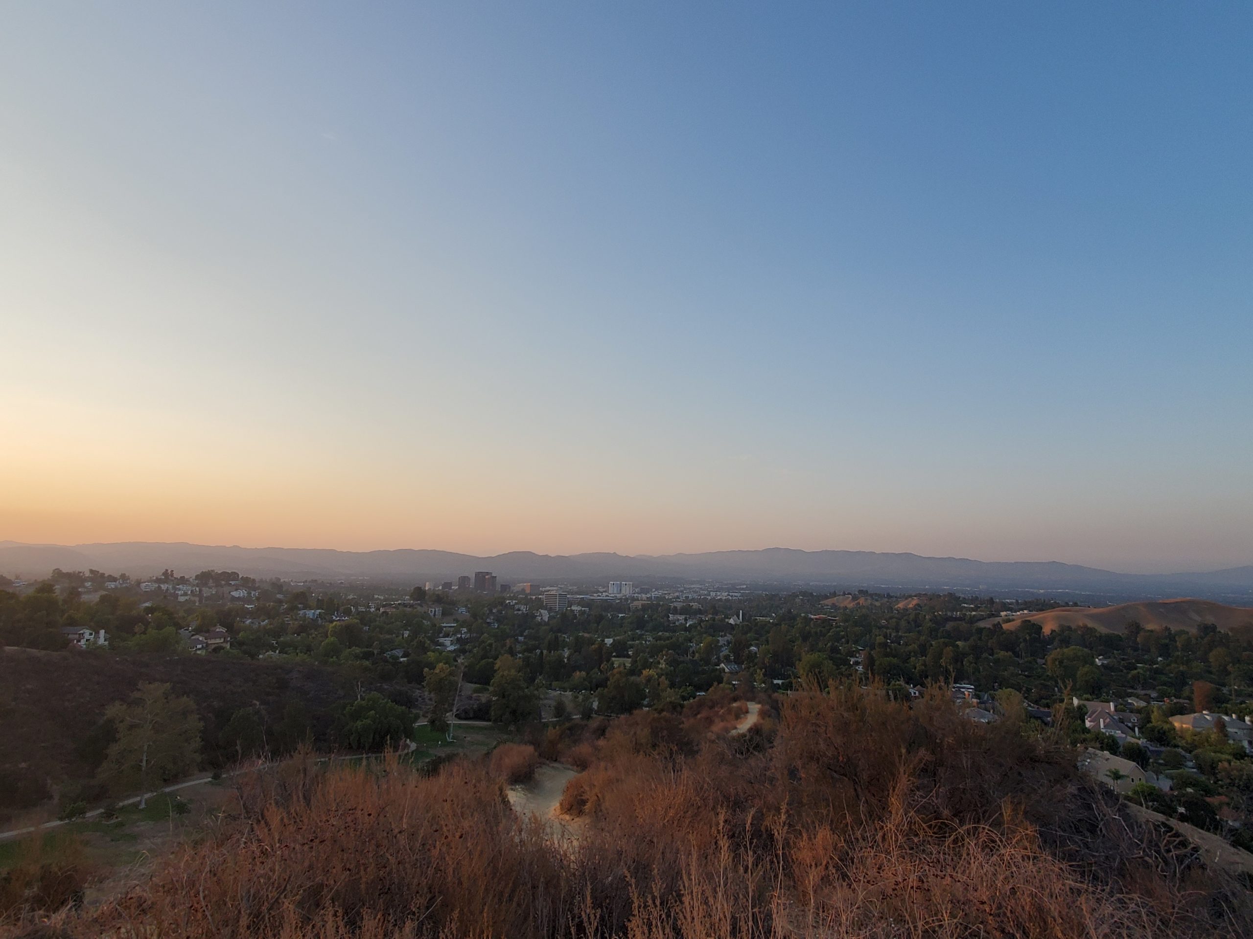
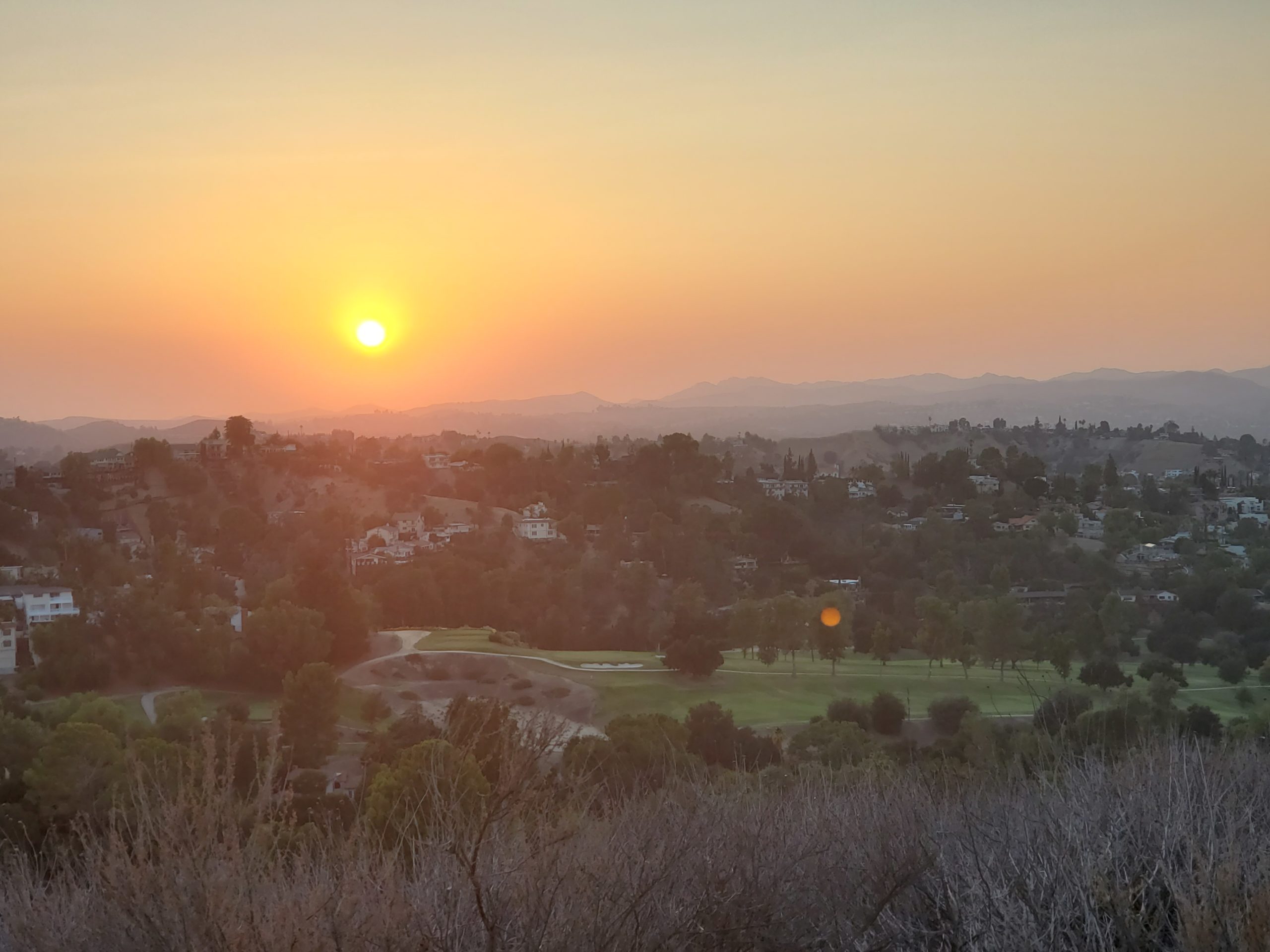
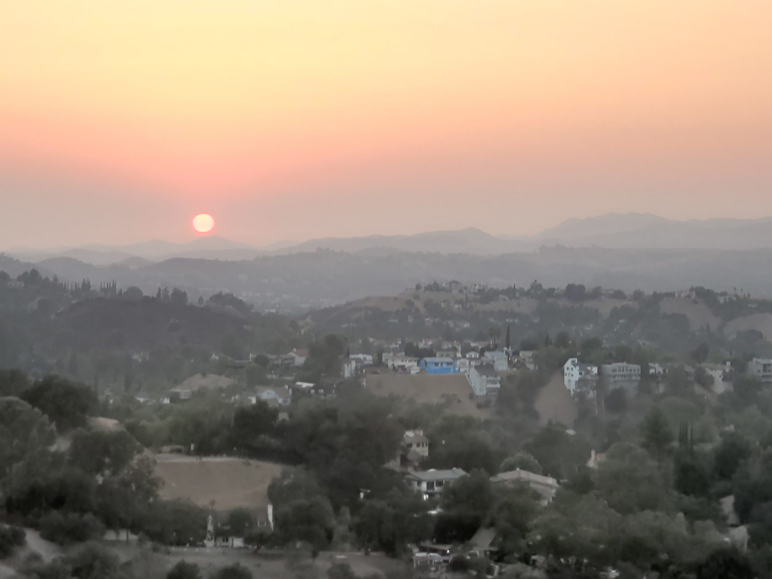
Take a much earned rest on the bench, while you enjoy the vast views into the San Fernando Valley and Santa Susana Mountains in the distance to your north. If you’re here for sunset, the sun will be setting amongst the rolling hills to your west.

After taking a break and enjoying all the views the Serrania Ridge Trail has to offer, head back the way you came to return to your car. Be sure to watch your step during some of the steeper sections, as it can be easy to lose your footing coming down hill.

Tags: california, dog-friendly, Los Angeles, Woodland Hills