Located in the San Fernando Valley between the 101 and the 405, the Sepulveda Basin Wildlife Reserve is a natural refuge in an otherwise seemingly endless sprawl of homes and buildings. Home to over 200 species of birds, an urban lake, and many native California plants, this ambitious park has a lot going for it. Sadly, clear violations of several of its rules (e.g. no littering, no dogs, no bicycles or vehicles) as well as an influx of invasive plants degrade its beauty and appeal. Still, if you want a quick nature fix without having to leave the city limits, this flat, four-mile hike will serve you well.

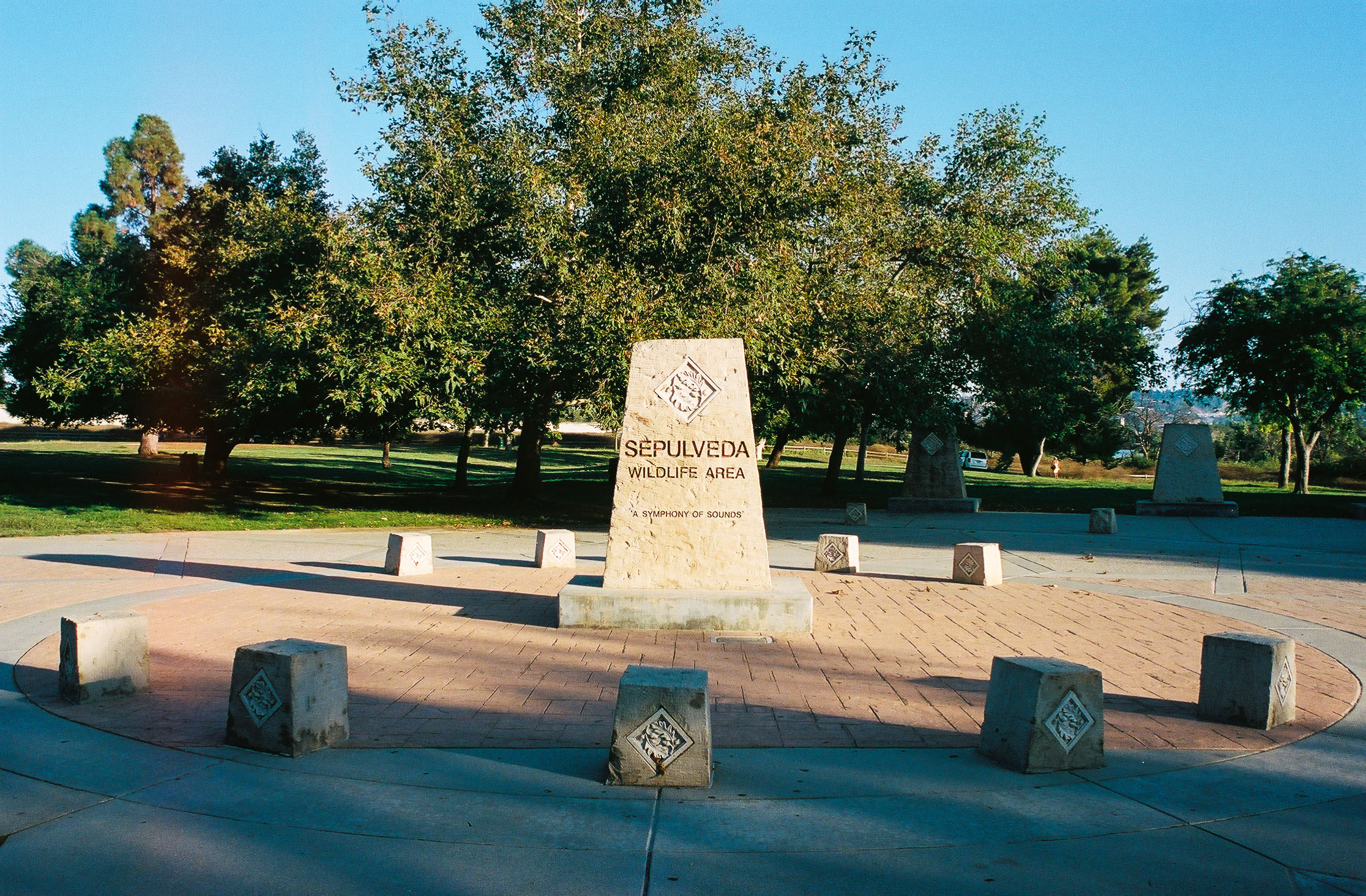
This elaborate concrete structure welcomes you to the wildlife area. Shot on Kodak Portra 400 film.
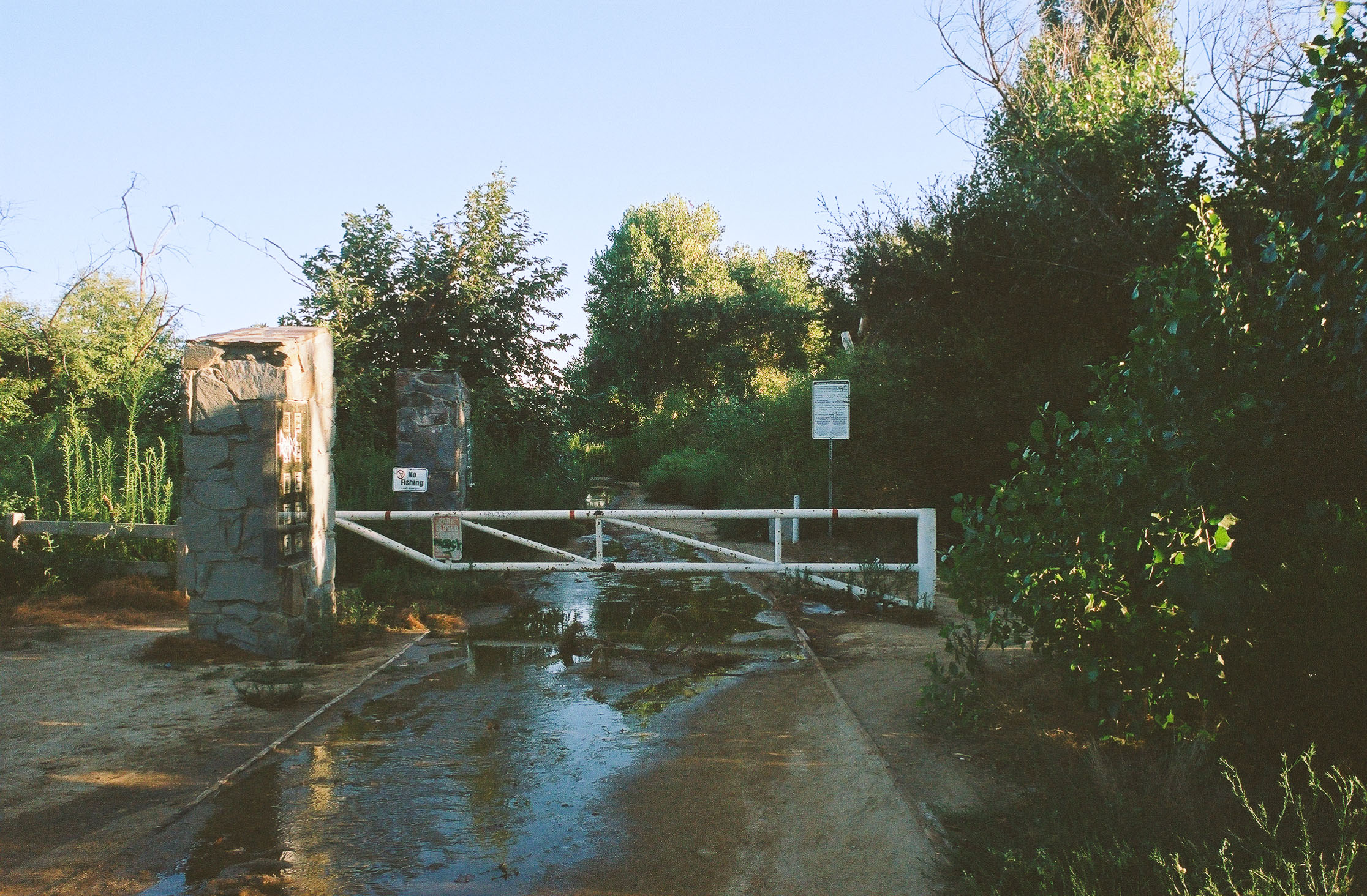
Getting to the trailhead was stress-free as there was a large parking lot close by, so we had no trouble finding a spot. Nearby, there were also flush toilets, sinks, trash cans, and water fountains for the public to use. In front of the restroom was an elaborate concrete marker welcoming you to the Sepulveda Wildlife Area, with the moniker “A Symphony of Sounds”, aptly named due to the vast number of bird species found here. When you’re ready, walk diagonally across the grass field and past an iron gate to start your hike. Your first stop is the Northern Reserve.

Walk around this metal gate to enter the reserve and begin your hike. Shot on Kodak Portra 400 film.
Previously farmland, soil from this area was used to re-line the Van Norman Reservoir after the 1971 Sylmar earthquake damaged its structural integrity. The resulting “borrow pits” filled with water and formed a unique wetland ecosystem that many bird species found, and continue to find, attractive.
Past the gate, head right at the first intersection and across the bridge spanning Haskell Creek to start your first loop, which circumnavigates a field of mostly shrubs, as well as larger Coast Live Oak trees. We opted to hike it counterclockwise.

In the spring this field is vibrant and green. Shot on Kodak Portra 400 film.
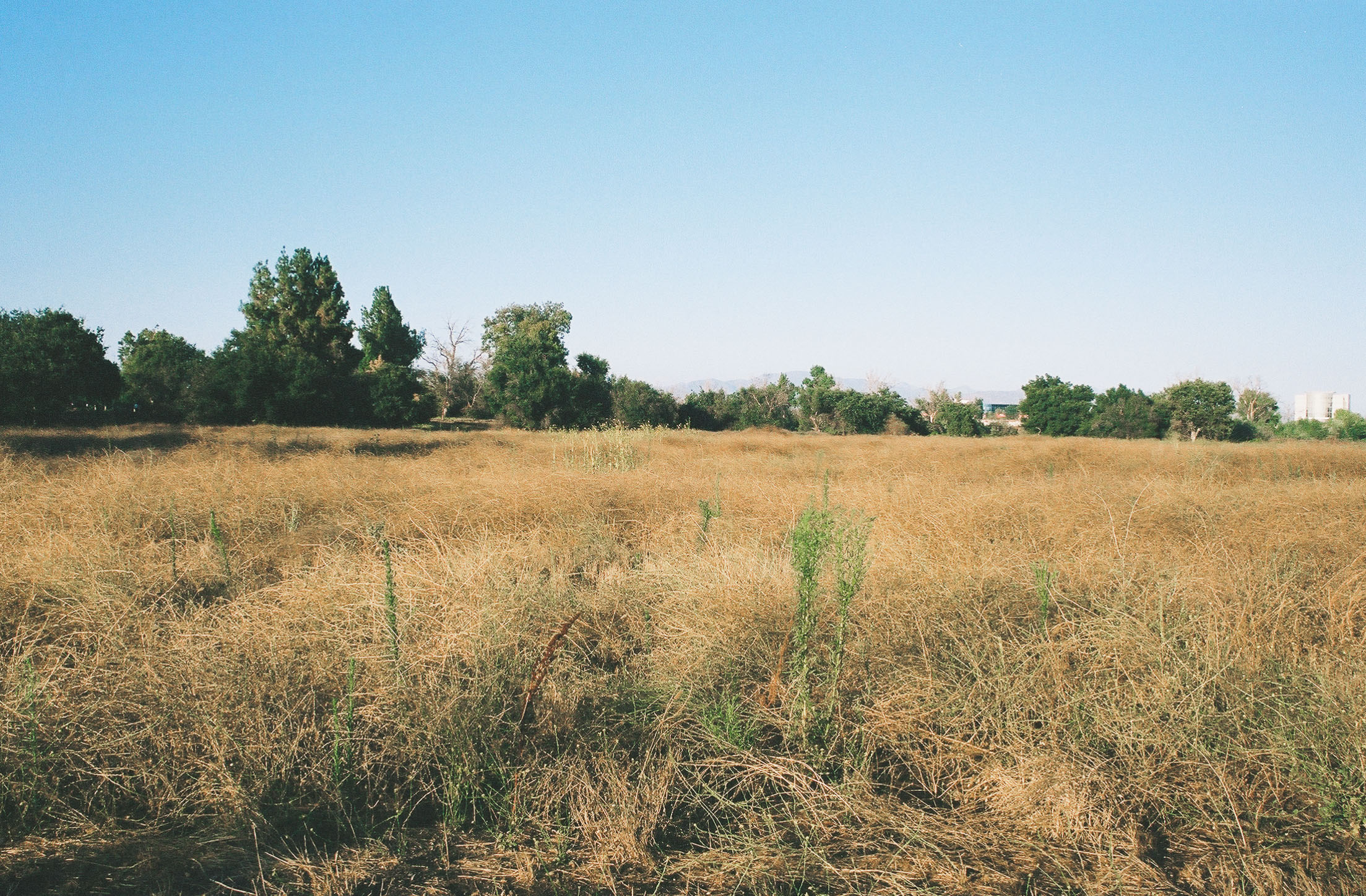
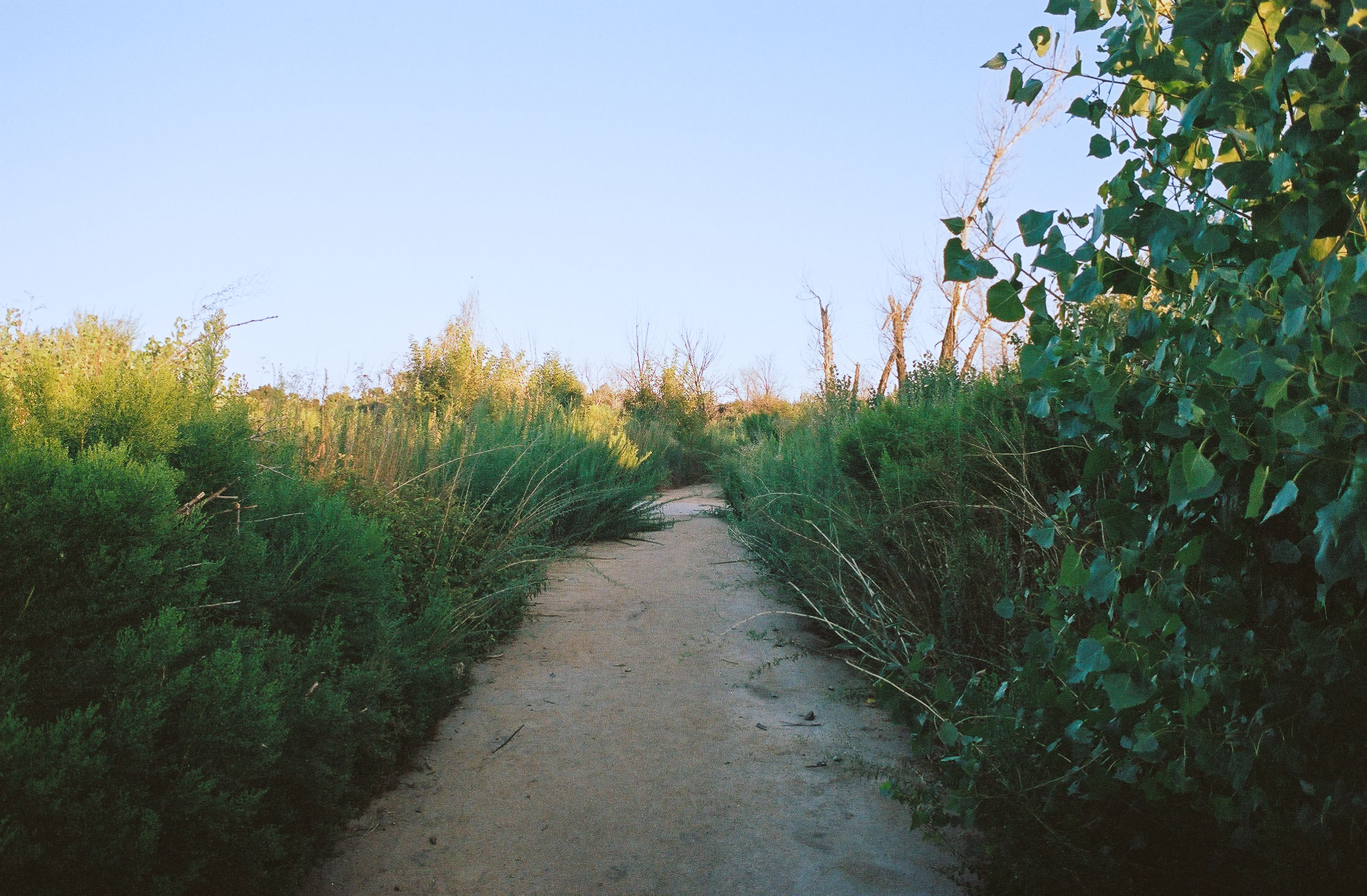
Since we visited this reserve in the summer, aside from White sweetclover and Velvetweed most of the brush was brown and lifeless. Sadly, litter also dotted the trail despite the many trash cans placed along the route. The combination of dead plants and waste gave the area a somewhat apocalyptic feel. As for the trail itself, it was wide and well-maintained, which made for easy hiking.
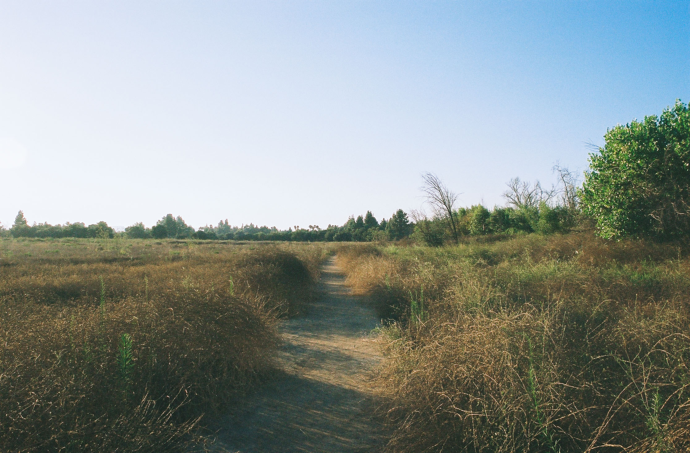
Hiking was smooth on the wide and flat trail. Shot on Kodak Portra 400 film.
0.2 miles into the loop, the trail turns south and runs parallel to Woodley Ave. While hearing speeding cars wasn’t the most serene experience, we tried instead to tune our ears to the crickets chirping in the late afternoon sun.
After 0.3 miles, you’ll turn east and quickly notice the environment becoming greener and more shaded – Coast Live Oak trees have a more prominent presence here.
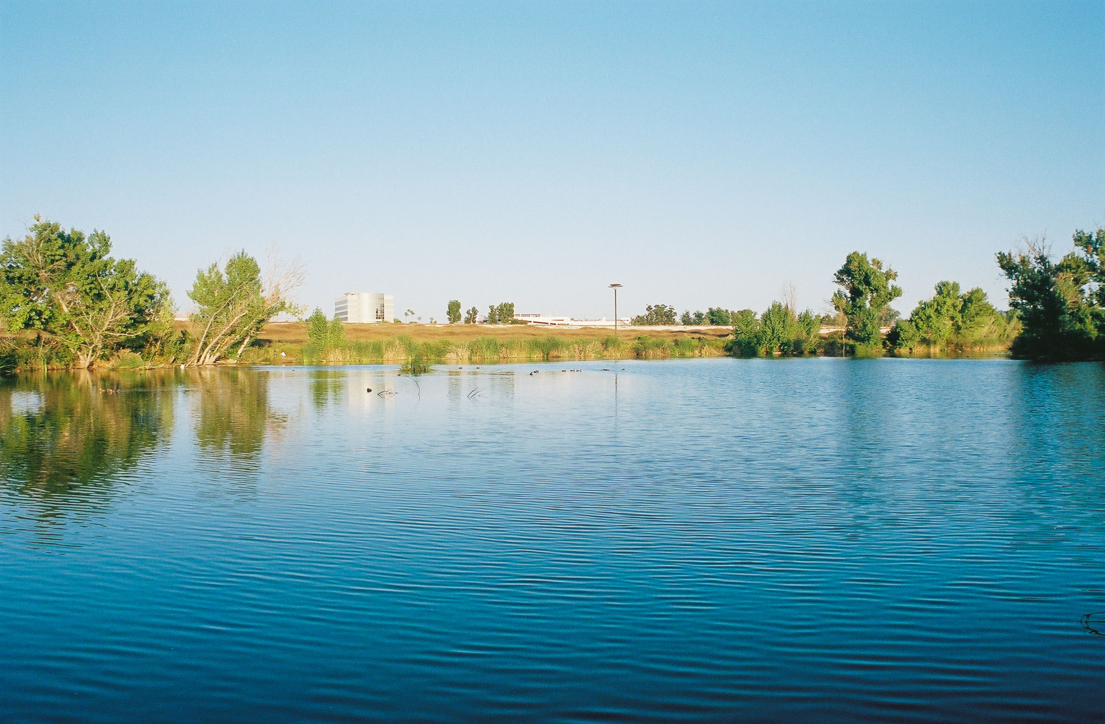
The trail then takes you north after 0.2 miles. The large trees leave center stage and are replaced with thriving plants to your left fed by Haskell Creek – a stark contrast to the dried-out brush to your right. You can also smell the musty aroma of the stream too. You’ll know that you’re reaching the end of your first loop when your surroundings become especially lush. Turn right, cross the bridge, and walk to the water’s edge to start the next loop, which first takes you along the west bank of the lake.

You’ll be able to see many bird species hanging in and around the lake. Shot on Kodak Portra 400 film.
You’ll head south along the trail, noticing several observation decks to your left that offer unobstructed views of the lake, with a wide array of birds enjoying the water. We also identified several plant species lining the trail, including the cottonwood trees and Tropical horseweed. While this segment of the hike was mostly enjoyable, we unfortunately encountered a graveyard of dead fish on the trail. I’m hoping that it’s been cleaned up by now, as their unsightly appearance and the repugnant stench were disgusting.

The trail next to the lake and Haskell Creek is lined with thriving plant life. Shot on Kodak Portra 400 film.

Right before the tunnel to your left is an interesting marshy ecosystem. Shot on Kodak Portra 400 film.
At mile 1.7, you’ll take a quick detour from your current loop to visit the South Reserve. Turn right and through the tunnel under Burbank Blvd to begin your final loop.
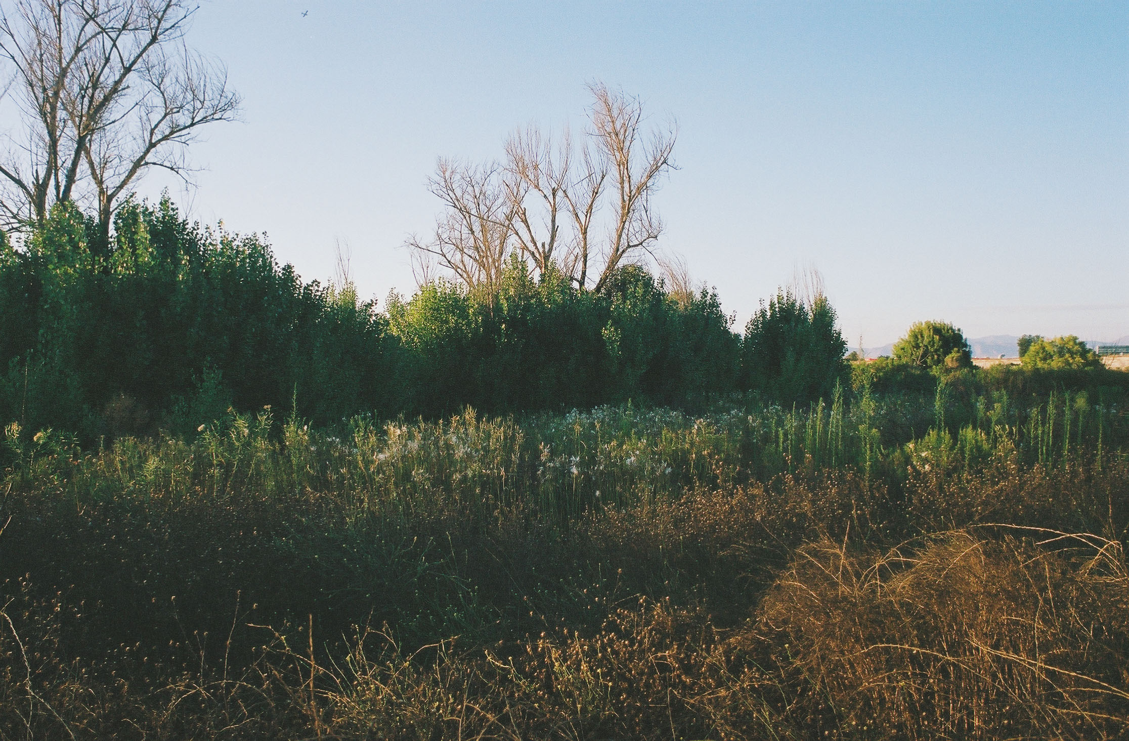
Like its sibling to the north, this slice of the reserve (which sits between Los Angeles River, Sepulveda Dam, and Burbank Ave) was originally used for agriculture. However, instead of converting this land into a lake, it was home to the park’s first California native plant restoration effort. Despite this well-intentioned goal, lack of proper oversight and upkeep, as well as changing municipal priorities resulted in major disturbances to this area and the introduction of several invasive species.
Once out of the tunnel, we turned left to hike this trail clockwise. Like the first loop, much of the brush was dry and there was trash strewn throughout the ecosystem.
You’ll follow the Sepulveda Dam for most of the first half of this loop. Shot on Kodak Portra 400 film
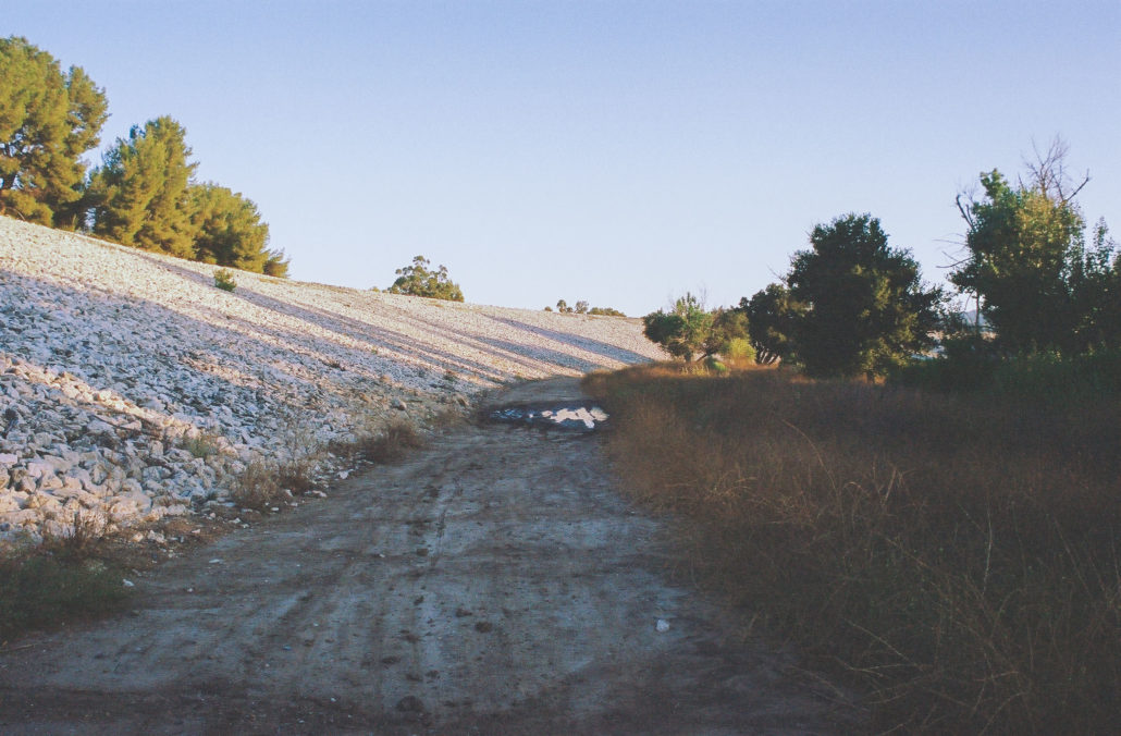
At mile 1.9, you’ll begin hiking next to the Sepulveda Dam, which was completed in 1941 and designed to control the Los Angeles River during winter floods. Then, at mile 2.1, you can head left along a paved road to visit this concrete structure up close. Follow the path up and over the wall, which offers views of the basin, the 101, and the San Gabriel and Santa Susana Mountains. Once on the other side, you can venture onto the dam’s spillway, which is featured in a wide array of films including The Adventures of Buckaroo Banzai Across the 8th Dimension and Iron Man 2. After you’ve finished exploring, head back to the main trail to continue your hike.
On top of the dam, you’ll get panoramic views of the landscape below. Shot on Kodak Portra 400 film.
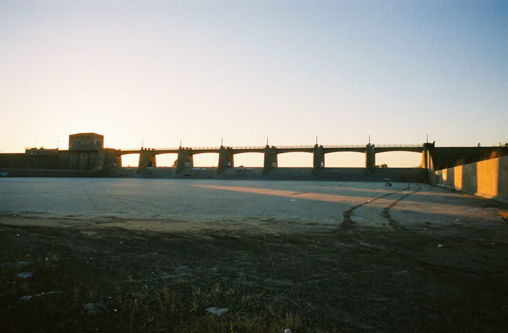
You can walk onto the dam’s spillway, which has been featured in several films. Shot on Kodak Portra 400 film.
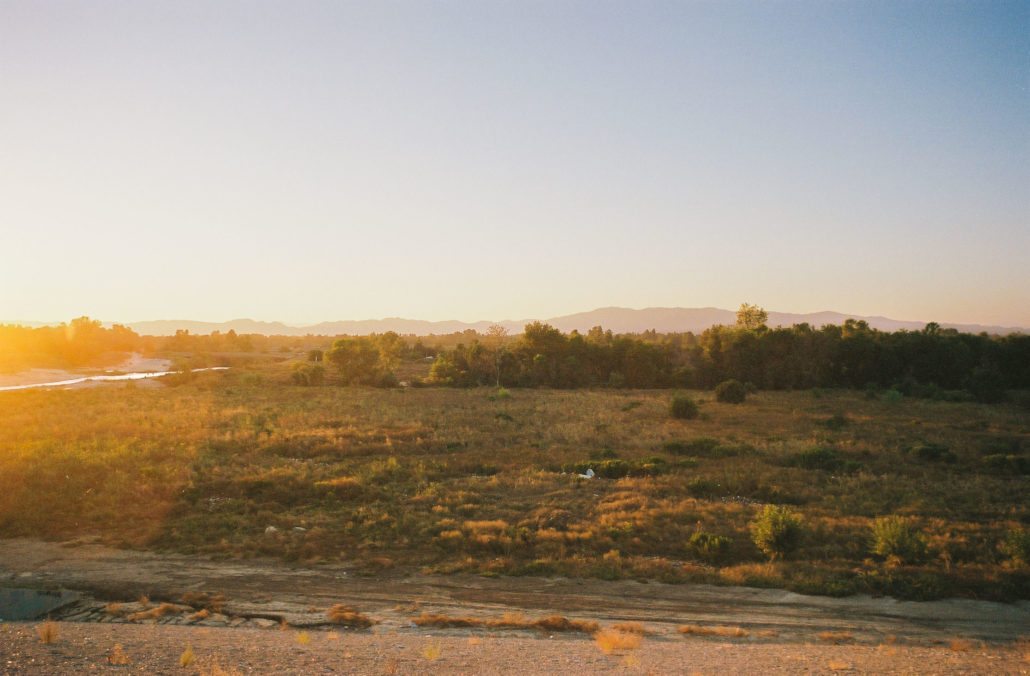
Continuing clockwise, you’ll walk along the banks of the LA River and Haskell Creek before returning to the tunnel, completing your second loop.

Back on the trail, you can see where the Sepulveda Dam and the Los Angeles River meet. Shot on Kodak Portra 400 film.
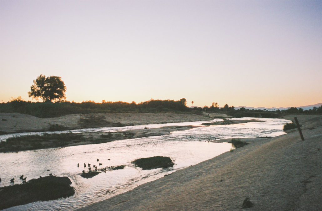
The Los Angeles River. Shot on Kodak Portra 400 film.
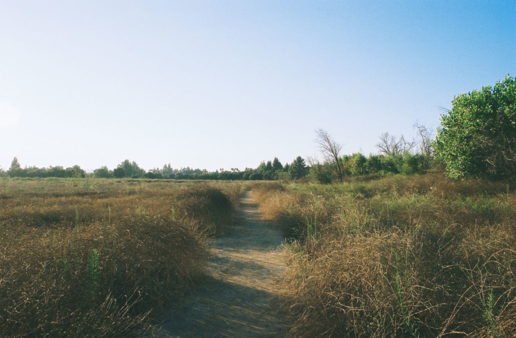
Once through, head straight to hike along the eastern edge of the lake. This final section of trail was narrower and more overgrown, differing greatly from the wide and clear paths we had been walking on for most of our trip. I somewhat enjoyed this more natural and wild change of pace though. There were also several spur trails you can take to the water’s edge.
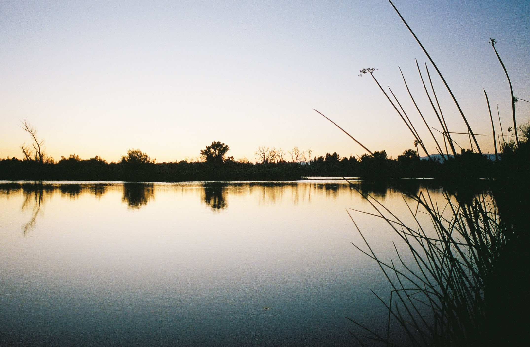
Maybe it was because the sun was setting and most of the visitors had left the reserve, but walking by the water as it reflected the oranges and red hues above was calming and serene – it was easily my favorite moment of our trek.
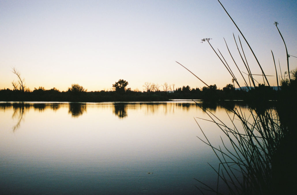
Reflections on the lake with the setting sun. Shot on Kodak Portra 400 film
Continue to follow the trail, keeping the lake to your left to reunite with your starting point and complete your third and final loop of the day. Then retrace your steps back to the parking lot.
Tags: lake, San Fernando Valley, Sepulveda Dam, urban hike, wildlife Reserve