In a lightly visited canyon south of the main Death Valley tourist drag, the Scotty’s Canyon hike meanders past the surprising rock piles of the Amargosa Chaos and the sculpted conglomerate beds of the lower canyon to end at a hidden grotto and tiny stream where infamous Death Valley Scotty, of Scotty’s Castle fame, once lived in a camp he called Camp Hold Out.

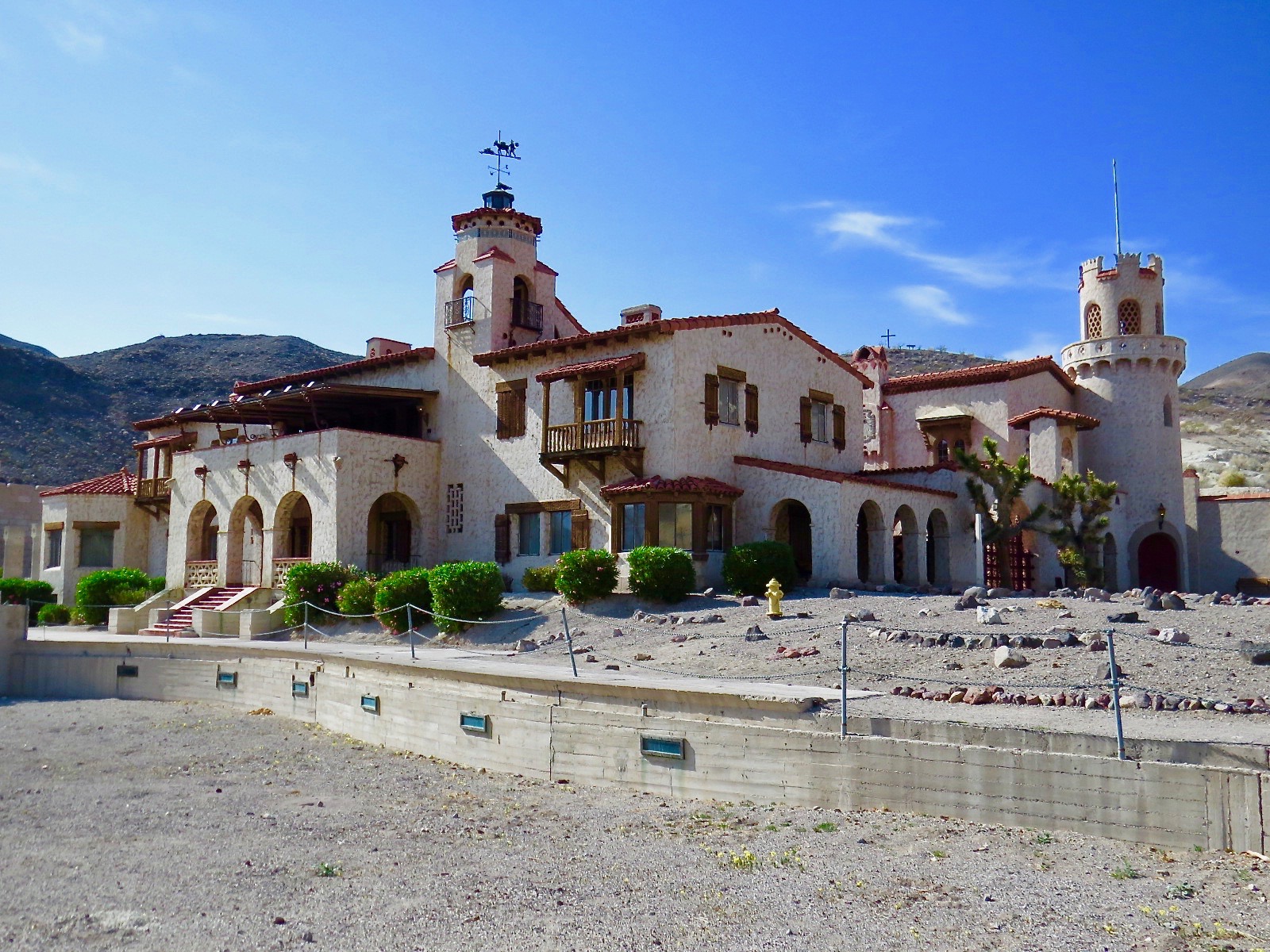
Scotty’s Castle
Walter Edward Scott, or Death Valley Scotty, may be most well known for his friendship with the benefactors he inspired (some say swindled) to build Scotty’s Castle, the Spanish colonial-style mansion in the Grapevine Mountains. But his schemes and ties to Death Valley history run deep. Beginning in 1902, Scotty conned would-be investors with tales of a rich gold mine in Death Valley. He was able to string them along and secure bankrolling for himself through his entertaining personality and flashy wealth (always temporary) and by producing high-grade ore from other mines from time to time. He kept these same investors away with wild tales of Death Valley’s hellish landscape, temperatures, and supposed outlaw ambushes, even staging some of these attacks himself. The ruse lasted for a good 10 years, during which time he made a media name for himself and secured a place in Death Valley history. During this period, his Death Valley headquarters was Camp Hold Out in what today is named Scotty’s Canyon. He eventually fell into disgrace, pressed by investors and the law, and confessed that his mine was a hoax. Luckily, in the meantime he had befriended benefactors Albert and Bessie Johnson, a friendship that proved lifelong, with Scotty’s Castle as monument to this colorful piece of Death Valley history.
Scotty’s Canyon is one canyon to the north of Ashford Canyon. The trail shares the same tiny parking area as Ashford Canyon, but it starts on the opposite side. From the top of the rise where the road ends, follow a very faint Jeep trail to your left that swings down to the wash in 0.3 mile. Continue across the wash toward the brown hills at the foot of the black rock formation.
Get the trail in your sights before beginning across the wash. It’s easier to see from a slight distance and may save you from an exposed desert odyssey scrambling through rocky washouts en route to Scotty’s Canyon wash.

Look for the trail snaking up the hills across the wash
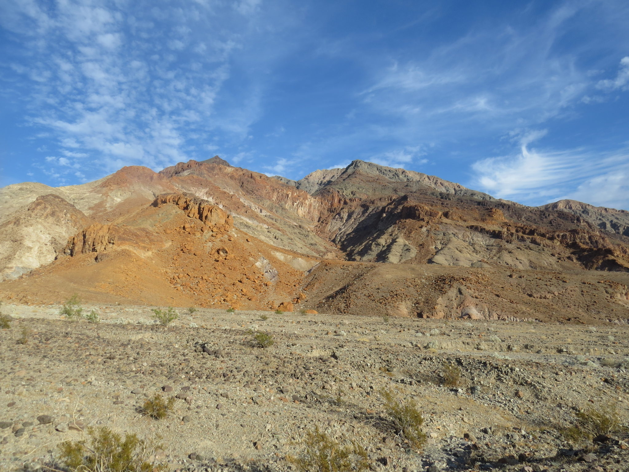
The brown and red jumble you see is part of an unusual rock formation called the Amargosa Chaos, outcroppings of quartz monzonite and granite that are unique to this region of Death Valley.

Amargosa Chaos
The trail proper begins at about 0.7 mile on the other side of the wash, switchbacking up the brown hills.


Looking back across the wash to the parking area at Ashford Canyon.
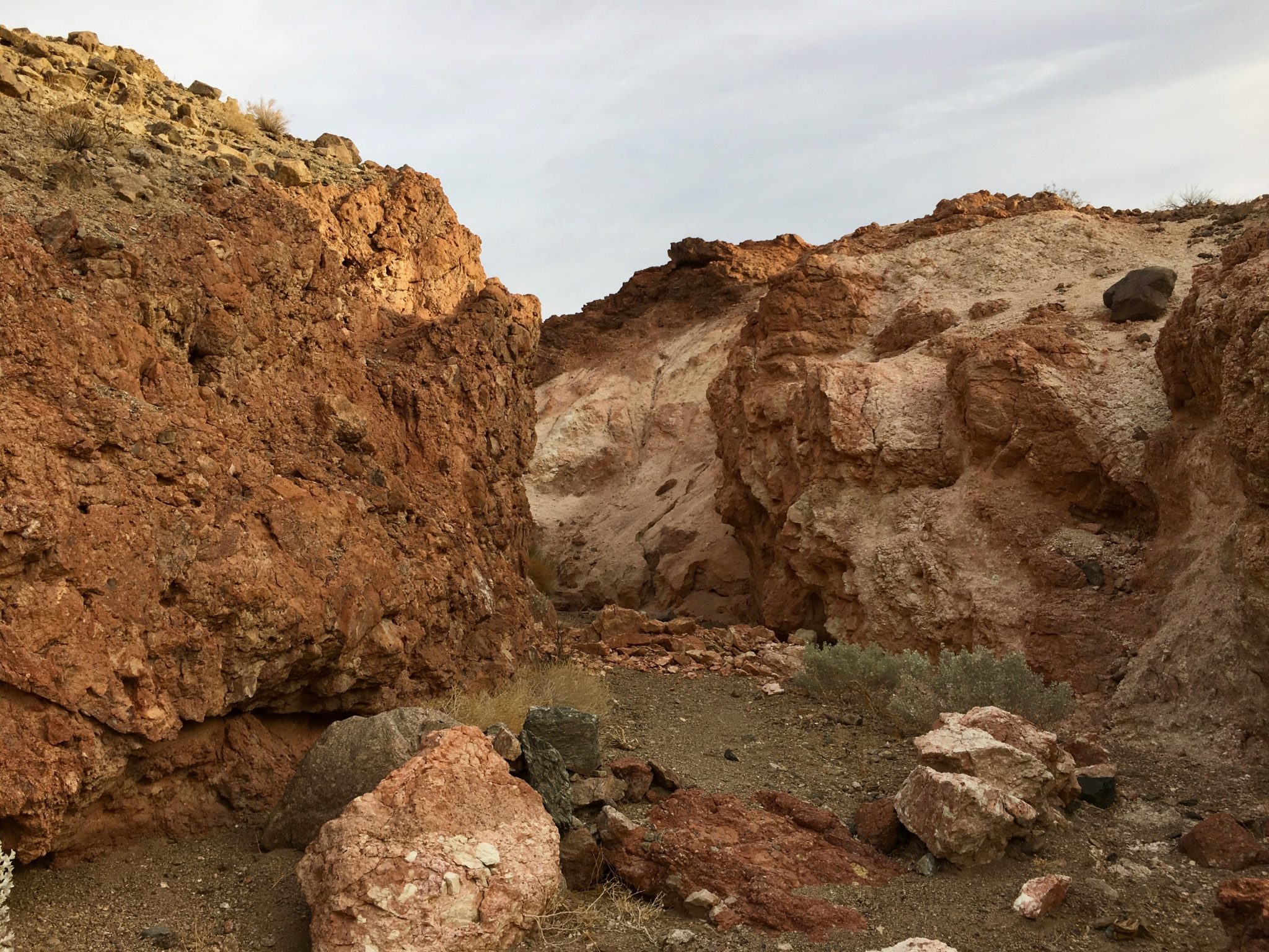
It reaches the next wash/canyon by cutting down through a colorful pink passage that spills into the wash of Scotty’s Canyon, within view of the canyon mouth.

Colorful cut-through between Ashford and Scotty’s Canyon
The canyon segment of the hike begins as a wide wash. The canyon walls taper down past the mouth.

Canyon mouth
The hike gains steady elevation, passing sculpted conglomerate formations that look like polished concrete and enough eclectic rock formations to keep you entertained.

Fluted conglomerate
You will know you are approaching the grotto and Camp Hold Out when you see a tiny trickle of water in the sand and a cluster of mesquite trees. The grotto itself is a contrast of green vegetation and blistered rock. Listen for the incongruous sound of dripping water. Camp Hold Out was the low overhang on the south side of the canyon.

Tiny stream trickling from the grotto and Camp Hold Out
Tags: badwater basin, Death Valley, Death Valley history, death valley national park, Death Valley Scotty, Furnace Creek, Scotty's Castle, Shoshone


