Diving along the 134 by Eagle Rock, you’ll notice a section of undeveloped green space just north of the freeway. And if you’re like me, then I’m sure you’ve asked yourself more than once if it was open to the public. Well, I finally decided to look into this and learned about the Scholl Canyon Trail, which takes you along part of its ridge line. I immediately made plans to check it out.
At 2.4 miles and with 452 feet of elevation gain, the Scholl Canyon Trail is a modest out-and-back hike. But what it does boast are gorgeous views of the Los Angeles area for your entire trek, especially at sunset. With my film camera currently in the repair shop, this hike was the perfect excuse for me to shake the rust off of my DLSR camera and capture the expansive vistas.
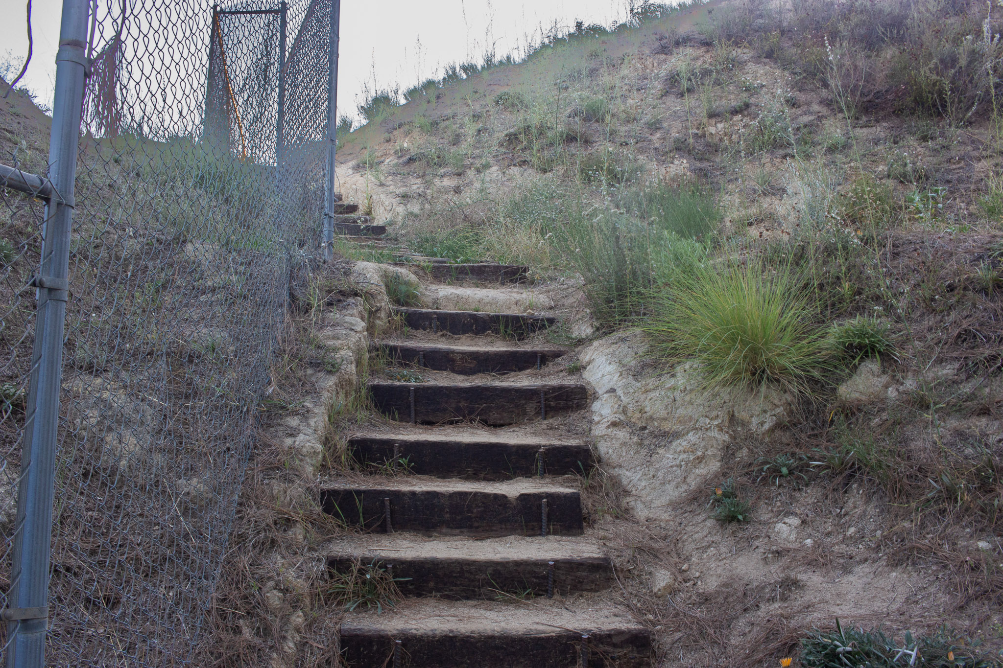
The inconspicuous trail starts at the Glenoaks Canyon neighborhood of Glendale. While there isn’t a designated space for cars, there was plenty of street parking when I visited (please be respectful of the area and its residents). There also weren’t any amenities nearby either. Look for the wooden stairs at the end of Valle Vista Dr to start your hike.
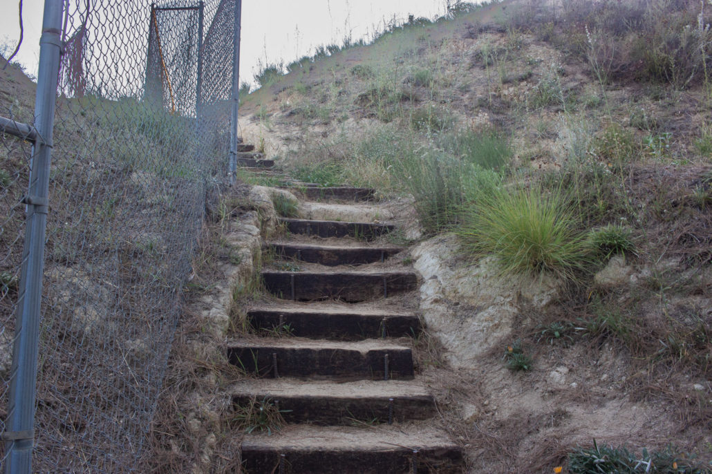
The stairs at the end of the cul-de-sac mark the start of your hike.
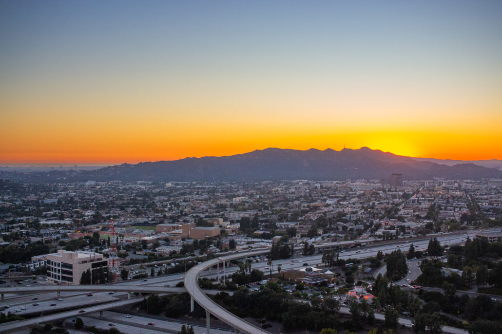
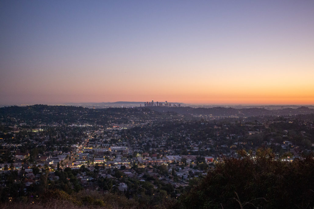
Downtown Los Angeles during golden hour.
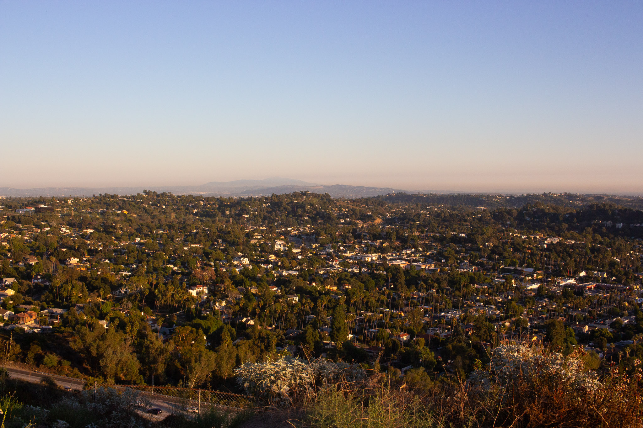
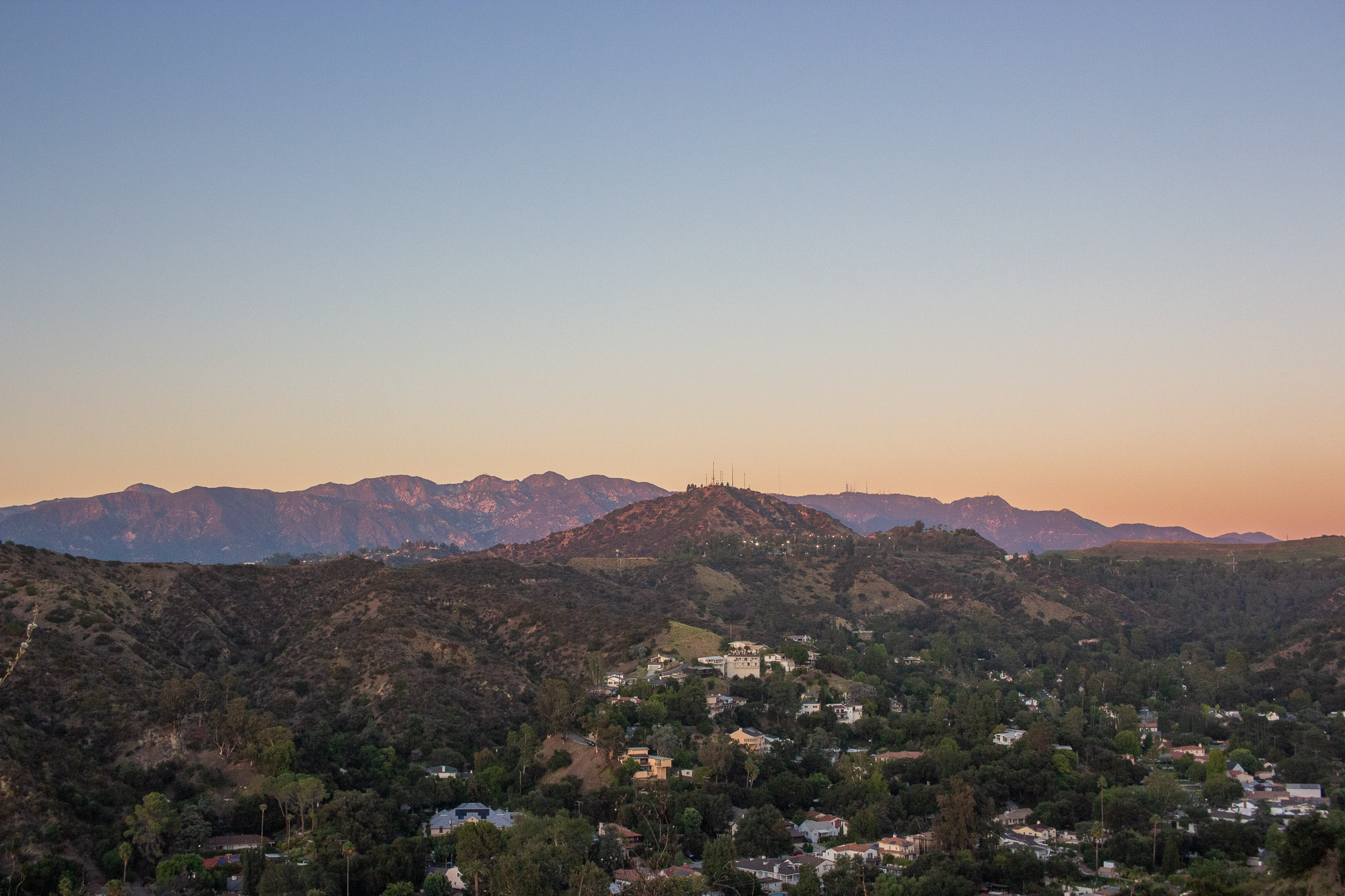
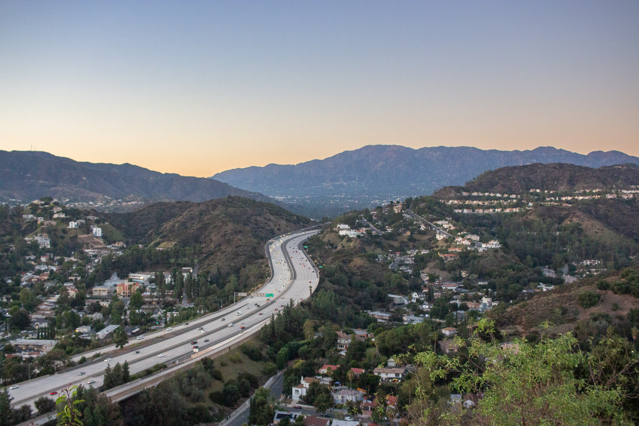
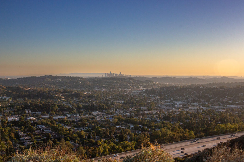
This first section of your hike is along a well-groomed single-track trail, and you are immediately welcomed to endless jaw-dropping views. To the north are the communities of Glendale and La Cañada Flintridge, as well as the Verdugo and the San Gabriel Mountains, with Mount Lukens and Mount Wilson (and their telecommunication towers) towering above the Los Angeles basin. Moving counterclockwise is Griffith Park, the Santa Monica Mountains, Downtown LA, and the Pacific Ocean. Finally, to the east, you’re treated to a birds-eye view of Northeast LA and the San Gabriel Valley. And of course, you’ll see and hear the cars whizzing along the 134 directly below. These vistas do come at a small price, though, as there is little to no shade for the entire trail. Make sure to bring plenty of water and sunscreen if you choose to hike midday.

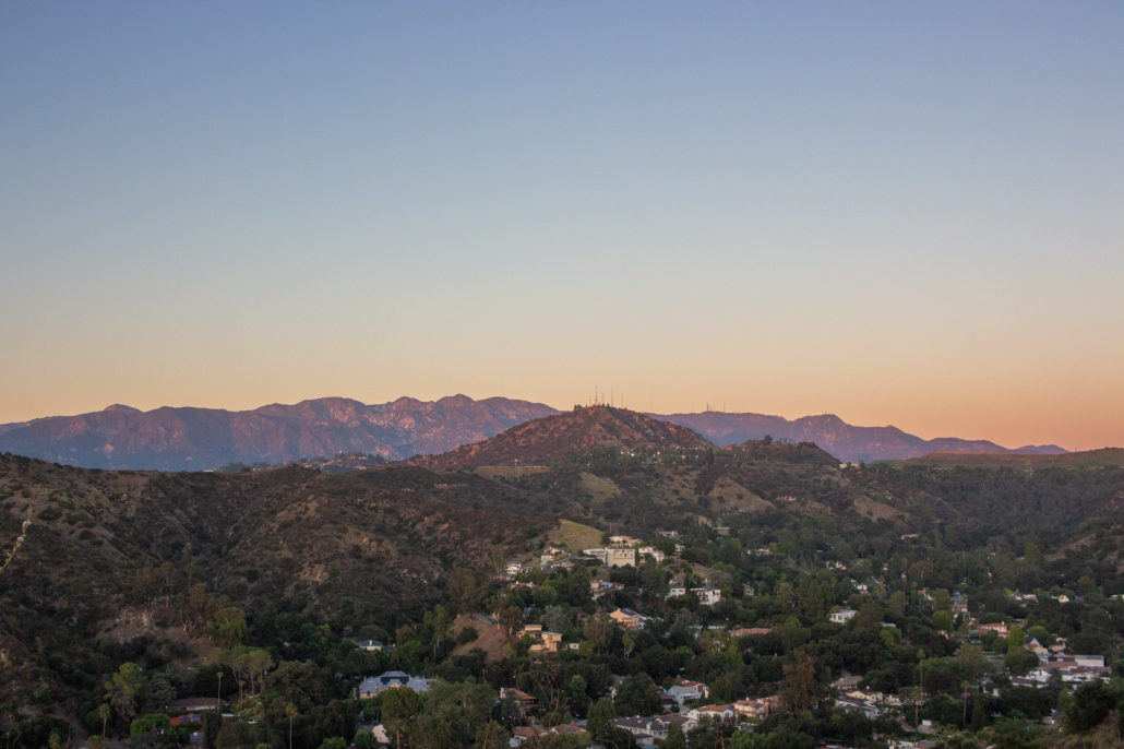
Northeast Los Angeles and the San Gabriel Valley.
While it’s easy to fix your gaze far into the distance, it’s worth it to take a break every so often and notice the flora closer to the trail. While they weren’t blooming at the time, I saw lots of California brittlebush and Black sage. Also crossing my path were several birds, rabbits, and even a tarantula.
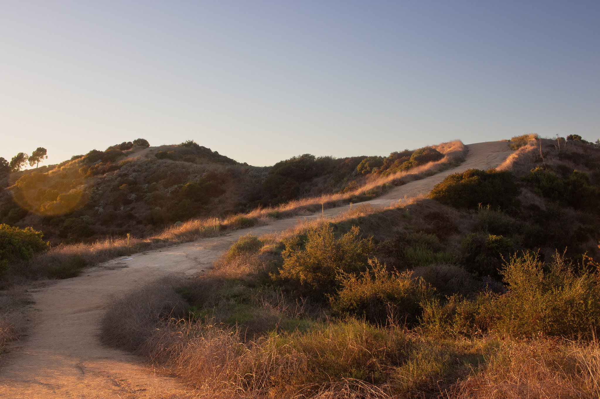
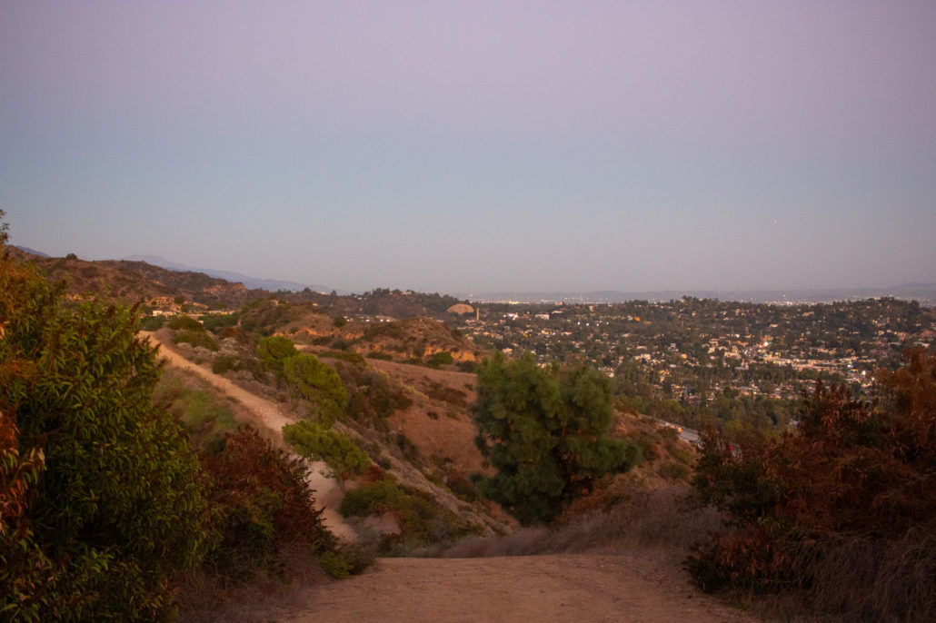
At 0.3 miles, you’ll reach a trail junction. Continue straight along the large fire road, which you will follow to your turnaround spot. If you accidentally head right, you’ll end up at Sleepy Hollow Dr.
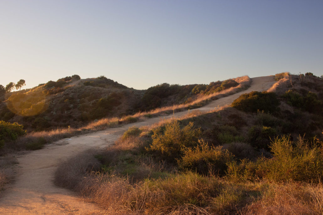
The fire road has plenty of space for large groups who want to hike together.
The trail’s turnaround point in the distance. Since it’s exposed the entire way, you often can see where you’re headed and where you’ve come from.
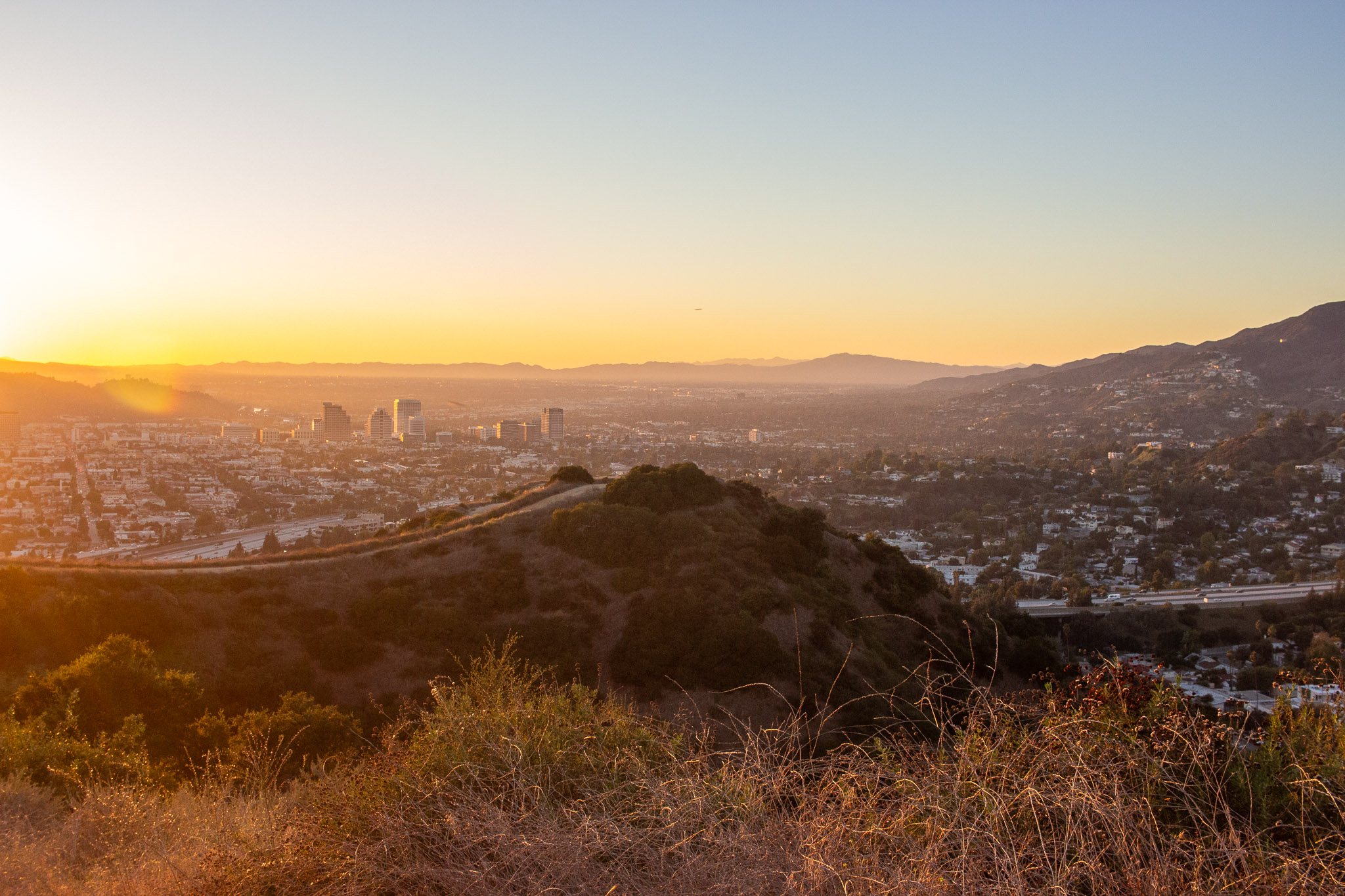
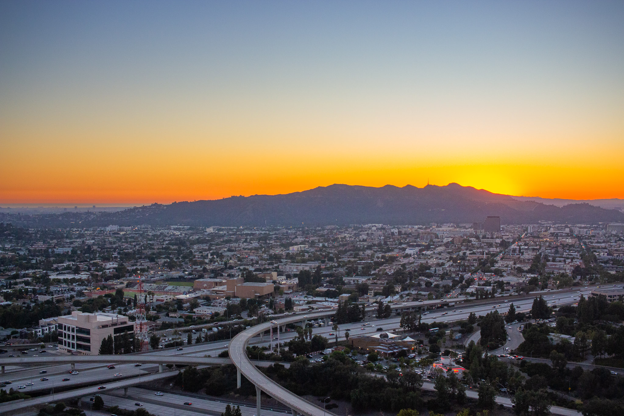
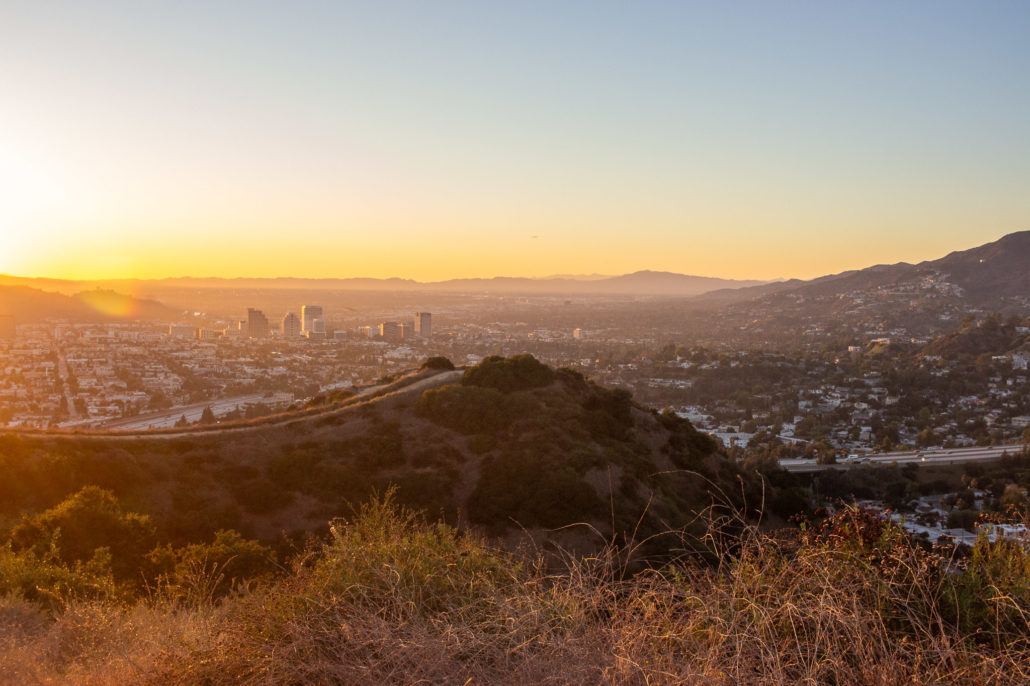
As you hike, the trail takes you along several small hills. They were a little steep at parts and I was glad I wore hiking shoes with good traction. Finally, at 1.2 miles, you’ll reach your final lookout, above where the 2 and the 134 intersect.
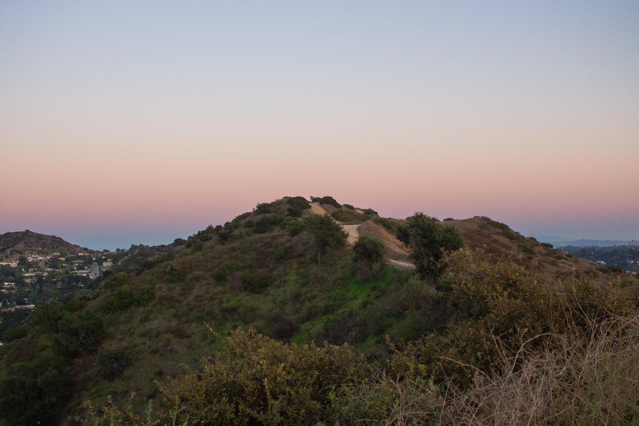
Sunset over Griffith Park.
I started this hike during golden hour, and I recommend you do the same (just make sure to bring a flashlight for the hike back). As I trekked, the surrounding landscape was covered in beautiful yellow and orange shades. And right as I reached the turnaround point, the sun dipped behind Griffith Park, painting the sky in a fiery display of colors. In the distance, the alpenglow washed the San Gabriels in magical red, violet, and purple tones. It was one of the best views of Los Angeles I’ve ever experienced. I rested here for a few minutes, watching the city slowly light up below me before heading back the way I came.
The San Gabriel Mountains painted in a beautiful alpenglow.
Bands of purple, pink, orange, and yellow light post-sunset.
On your way back to the car, you can see the iconic dome boulder from which Eagle Rock got its namesake – one last fun view on your hike.
The Eagle Rock boulder in the distance.
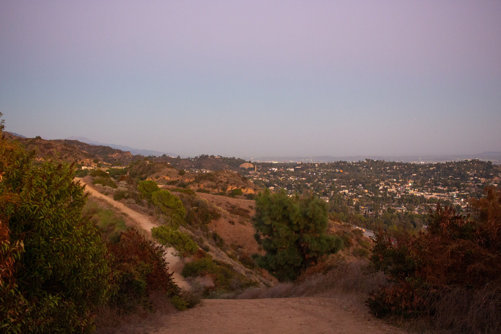
City lights turning on one by one.
Tags: glendale, Hiking, urban hike, views