Santa Ynez Falls is a small but fun waterfall tucked into a corner of Topanga State Park that’s a bit off the beaten path, especially for those visiting via the main entrance at Trippet Ranch. This short and generally easy trail meanders through a densely wooded riparian canyon, hopping over streams several times before dropping you off at a rugged, unmaintained route to Santa Ynez Falls. During the dry season (or dry years), this section will be easy for most – except for a moderate challenge right before the falls where you’ll have to scramble and rock climb a bit. During wet times, this route’s water crossings and final scramble section can become too difficult for younger and less experienced hikers.
The hike to Santa Ynez Falls begins at the end of a remote street in the also-remote Pacific Palisades. Park on the steep street (remember to engage your parking brake!) and head down the hill toward the gated communities, where you’ll see the prominent sign for the Santa Ynez Canyon Trail in Topanga State Park on the north side of the street.
Head down the wooden stairs to the dense riparian canyon. And watch out for this:

Yes, there is poison oak all over this trail’s edges. Generally, in the earlier, maintained sections of trail you won’t have to worry too much about this stuff. But if you’re getting creative at water crossings — and especially in the later, unmaintained sections of the trail — you will want to be very aware of your plant surroundings unless you’re really into rashes. Because of the poison oak and the overgrown, grassy nature of large portions of the unmaintained section of this route, we recommend wearing long pants and sleeves and doing tick checks after hiking through overgrown areas.
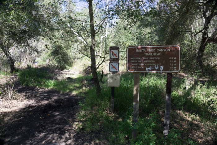
After you drop down into the canyon, you’ll see some more trailhead signs giving you some rough distances and warning you about the poison oak and ticks, too. As this trail is in Topanga State Park, there are no dogs allowed, so make sure you leave your canine companions at home for this one.
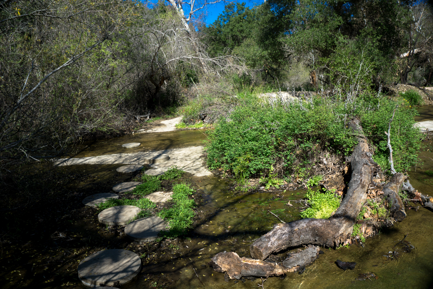
Just beyond this sign, you’ll cross an unusual flood control structure — a broad concrete funnel channels flows from the canyons into a larger storm drain below, while a series of circular artificial stepping stones will help you across the sometimes mossy and slippery channel and back onto the trail.

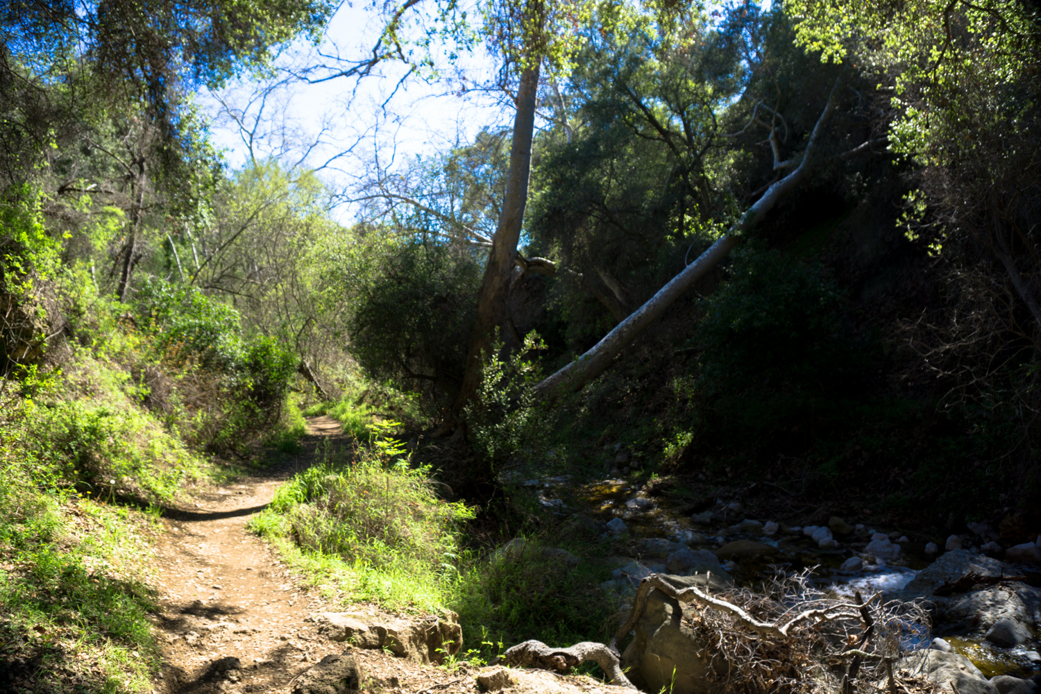
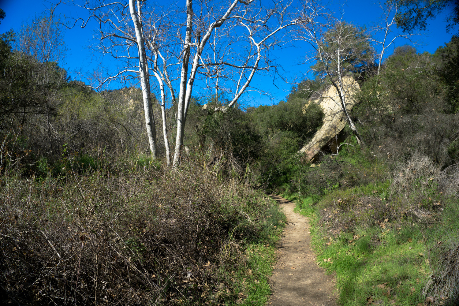
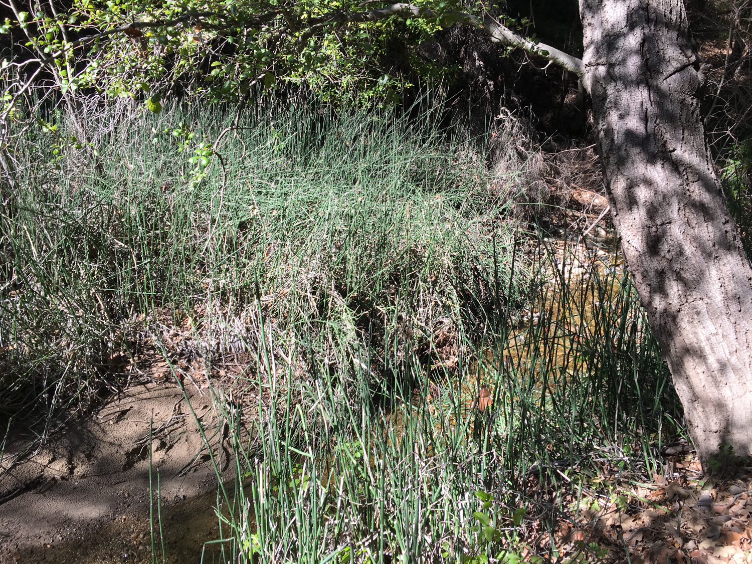
The next 0.5 mile is a lovely, shaded little pathway that ducks in and out of the stream beds and meanders through grassy areas and around fallen alder and sycamore trunks.
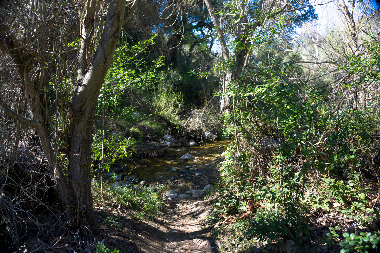
Most of the time, the water levels here are manageable and not much more than ankle deep – but during seasonably wet winters and springs you may have a bit more trouble keeping your boots dry during boulder-hops. If you’re not great with balance, we recommend just plowing through with waterproof boots. Your feet may still get wet, but the hike is short enough where you likely won’t have to worry about blisters or anything as long as you have a dry pair of shoes waiting for you back at the trailhead!


There’s a short spur trail to this fun cave formation right off the main route
At 0.5 mile, pass through the remnants of an old gate. In another 0.1 mile, you’ll reach the junction with the waterfall trail, which is clearly marked by a large wooden stake.

Bear right to head toward Santa Ynez Falls, following a rough, meandering path down to the confluence of two branches of Santa Ynez Creek. You’ll also pass a prominent sign warning you that the rest of the trail to Santa Ynez Falls is unmaintained.
This is one section of trail that can be a little confusing. Follow the route down to the water. You will see a series of trails following the creek downstream. They look well-traveled and established … but this is not the route you want to take.
Instead, cross the streambed to and head upstream, keeping to the right to head up the branch of Santa Ynez Canyon heading north. You may have to hike inside the stream bed, and you’ll know you’re on the right path if you look to your left and see the ruins of an old stone chimney in the woods:

if this is on your left, you’re in the correct canyon

the trail leaving the banks just beyond the confluence
The next 0.5 mile of hiking will have you bobbing and in and out of the streambed, hopping boulders and crawling above and beneath downed tree trunks along the way. You’ll need to pay attention when the trail meets up with the streambed to see if it crosses or hugs the banks and make a judgement call on what route looks safer depending on the level of water or how much debris has been washed down into the canyon.
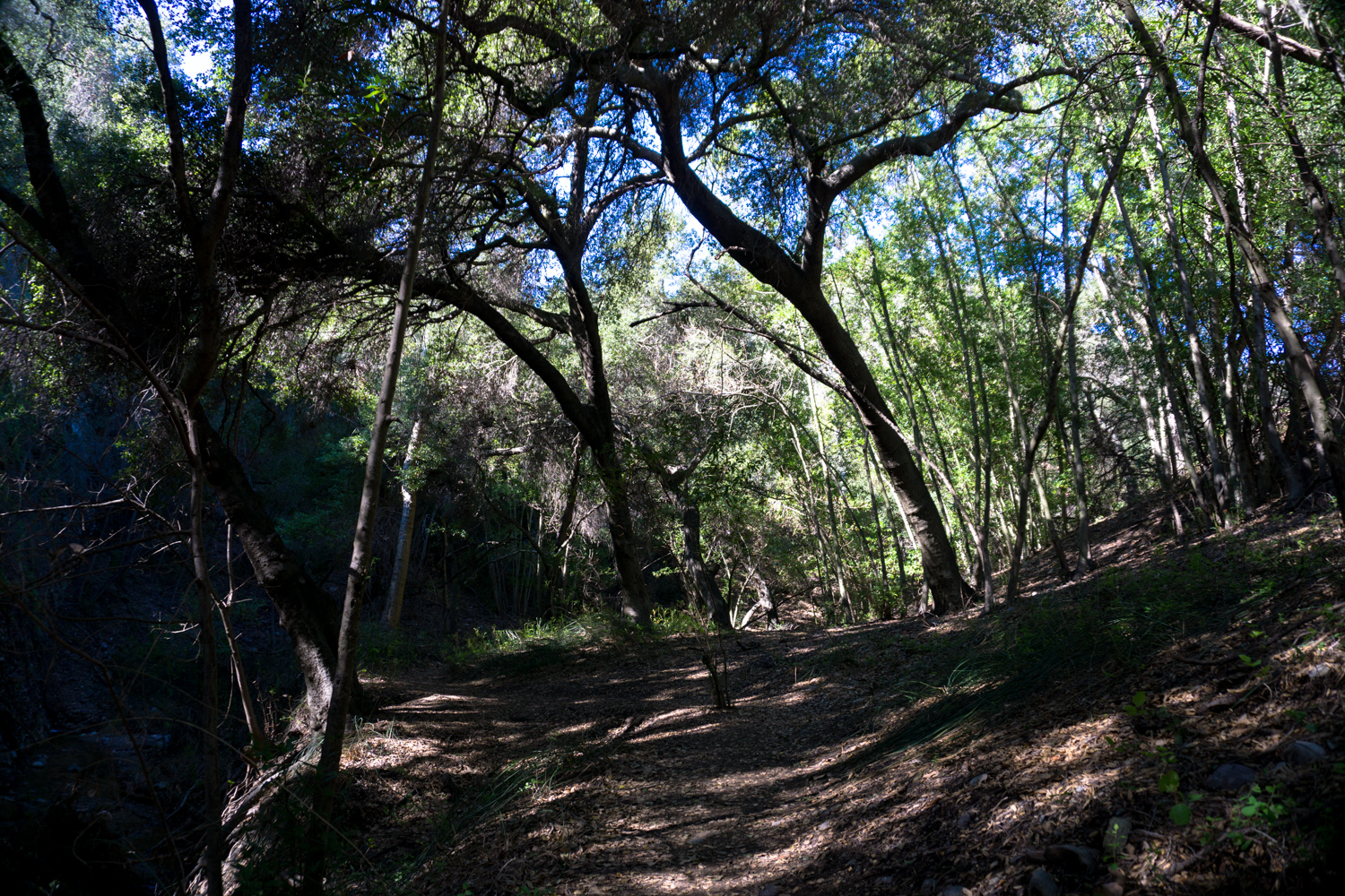
You’ll also pass through a few gorgeous ‘oak cathedrals,’ where the limbs of old trees have created peaceful, cavernous glens along the streamside.
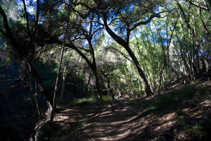
There are a few sections on this stretch where use trails have been beaten into the ground that are not advisable to follow. Generally, you’ll want to stay as close to the stream bed as possible. Some use trails climb up far outside the canyon before disintegrating, usually along slippery cliffsides and unstable ground. When in doubt, it’s safer to stay in the stream, even if it means getting your feet wet.
At the 1.1 mile mark, you’ll come across this sign pointing you toward Santa Ynez Falls.
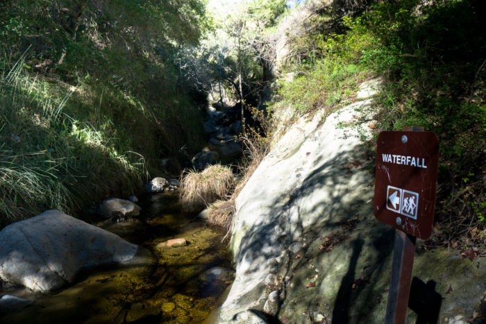 Although another use trail does seem to climb up and above these rock formations, to get to the waterfall you’re going to get your feet ready to get wet and hike right into the stream inside the canyon.
It’s only just over another 0.1 mile from the sign to the base of the falls, but give yourself extra time to navigate the increasingly narrow, increasingly wet canyon. There are a few places that will require a bit of scrambling technique to pass, and you’ll have to lift yourself up and over a few cascades, which can be fairly difficult maneuvers if the water levels are high. Take your time, test hand and foot holds, and only go as far as you can safely go.
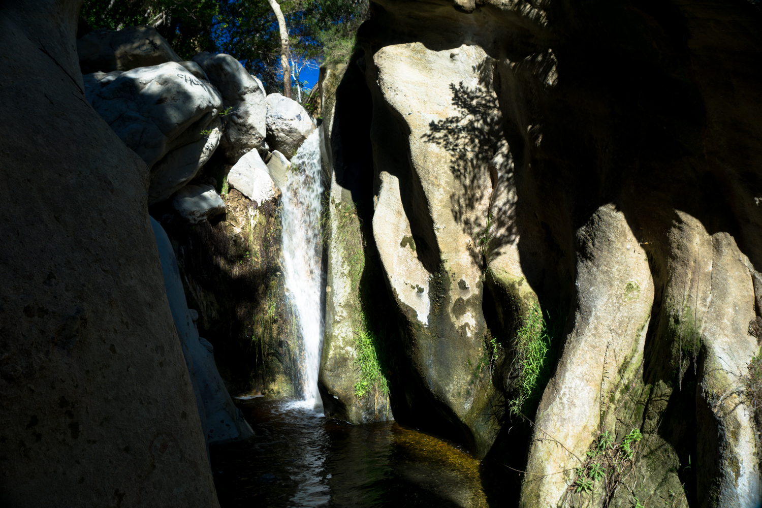
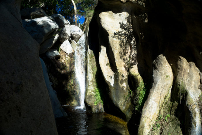
When you reach the base of Santa Ynez Falls, the canyon dead-ends right the base of the cascade. These were the falls following an especially wet winter storm in 2017:
Tags: Santa Monica Mountains, santa ynez falls, Topanga State Park, Waterfall


