Los Padres National Forest is host to some gorgeous hikes and scenery, including (but absolutely not limited to) San Ysidro Trail. This out-and-back trail is great because it can be a long, full-day trek (8.6 miles) but can also be taken for a short time while still offering rewarding views and nature experiences. Picture trickling waterfalls, a winding, running creek (which the pictures truly do not do justice), singing birds over your shoulder, and giant boulders to really put your own size into perspective. And the best part, perhaps — it’s only minutes from downtown Santa Barbara, which means you can get your fill of nature in the afternoon, and go out for a fancy dinner and shopping in the evening. The best of both worlds! But trust me, once you get started on this trail, you’ll have no idea that you’re that close to any kind of civilization.
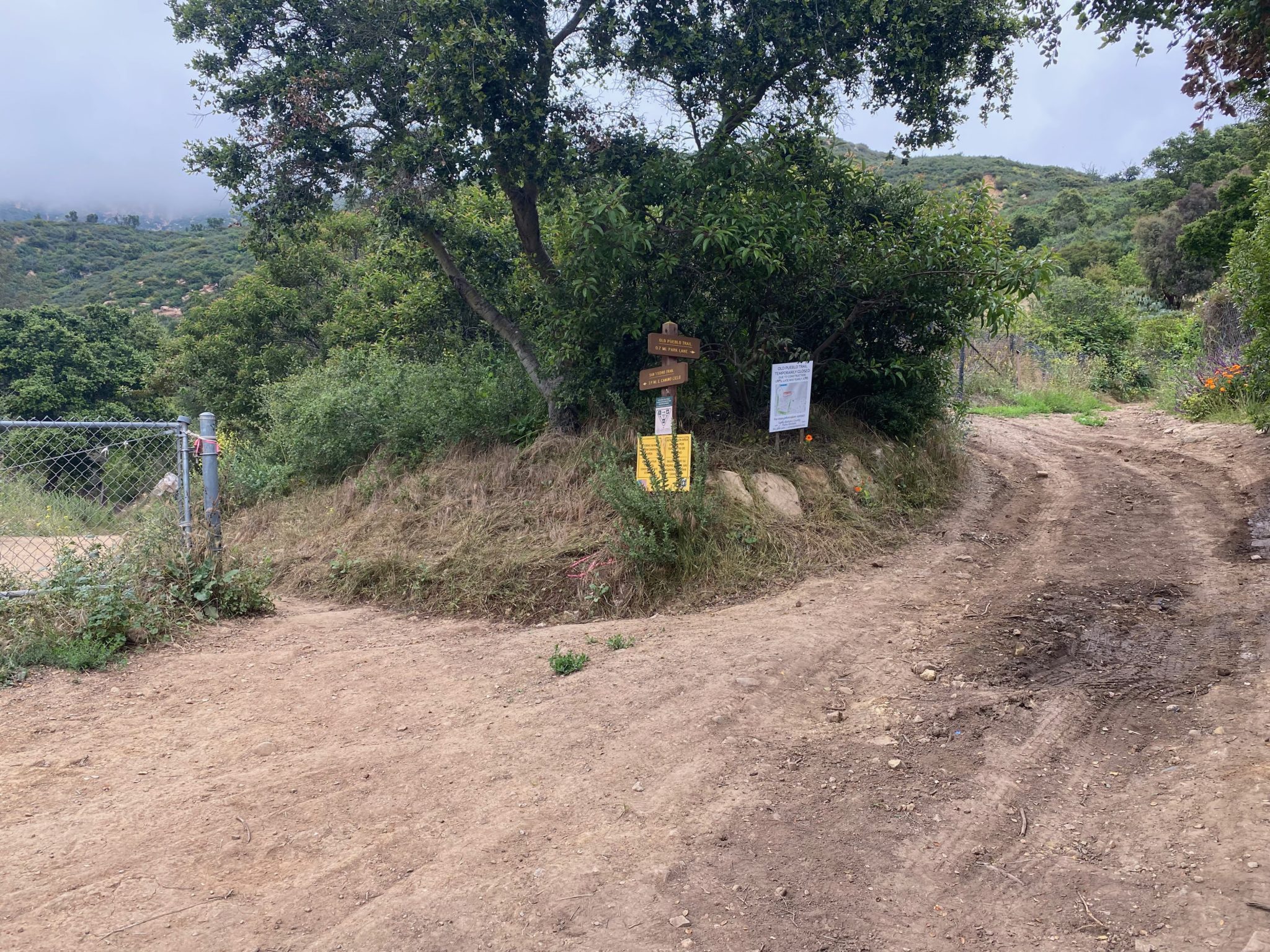
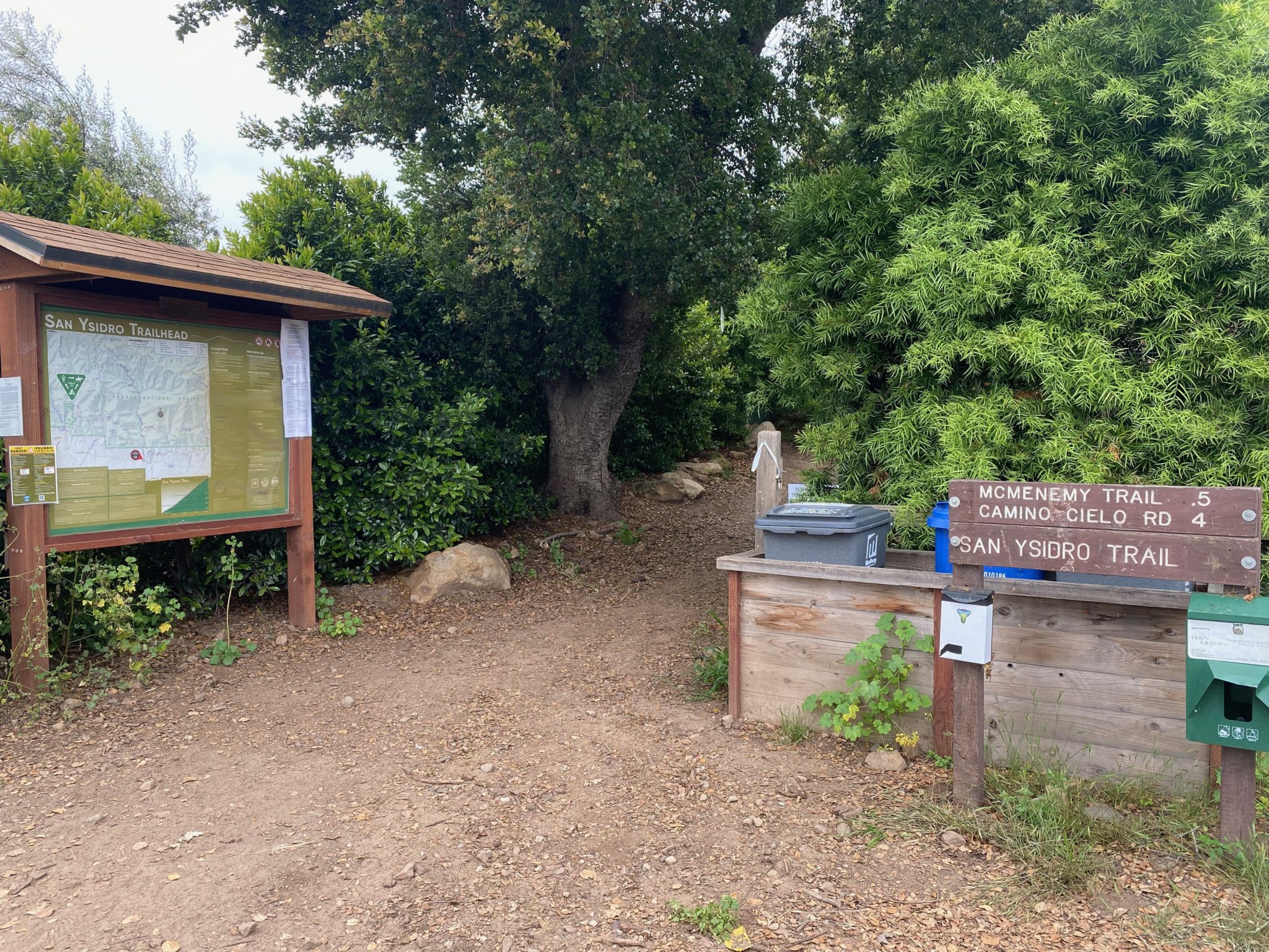
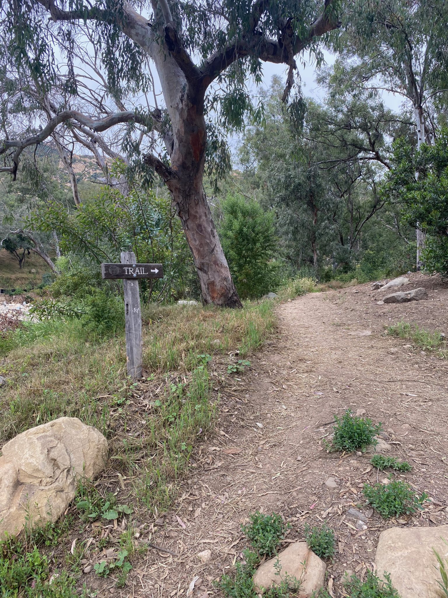
To get to the trailhead, turn onto Park Lane from East Valley Road, and take Park Lane to East Mountain Drive on the left. You’ll reach a parking area that shouldn’t be too crowded. Enter by the trail sign — you’ll be following signage for San Ysidro Trail as you go. This trail is pretty well signposted, so you don’t have to be worried about getting lost or winding up on the wrong trail.
![]()
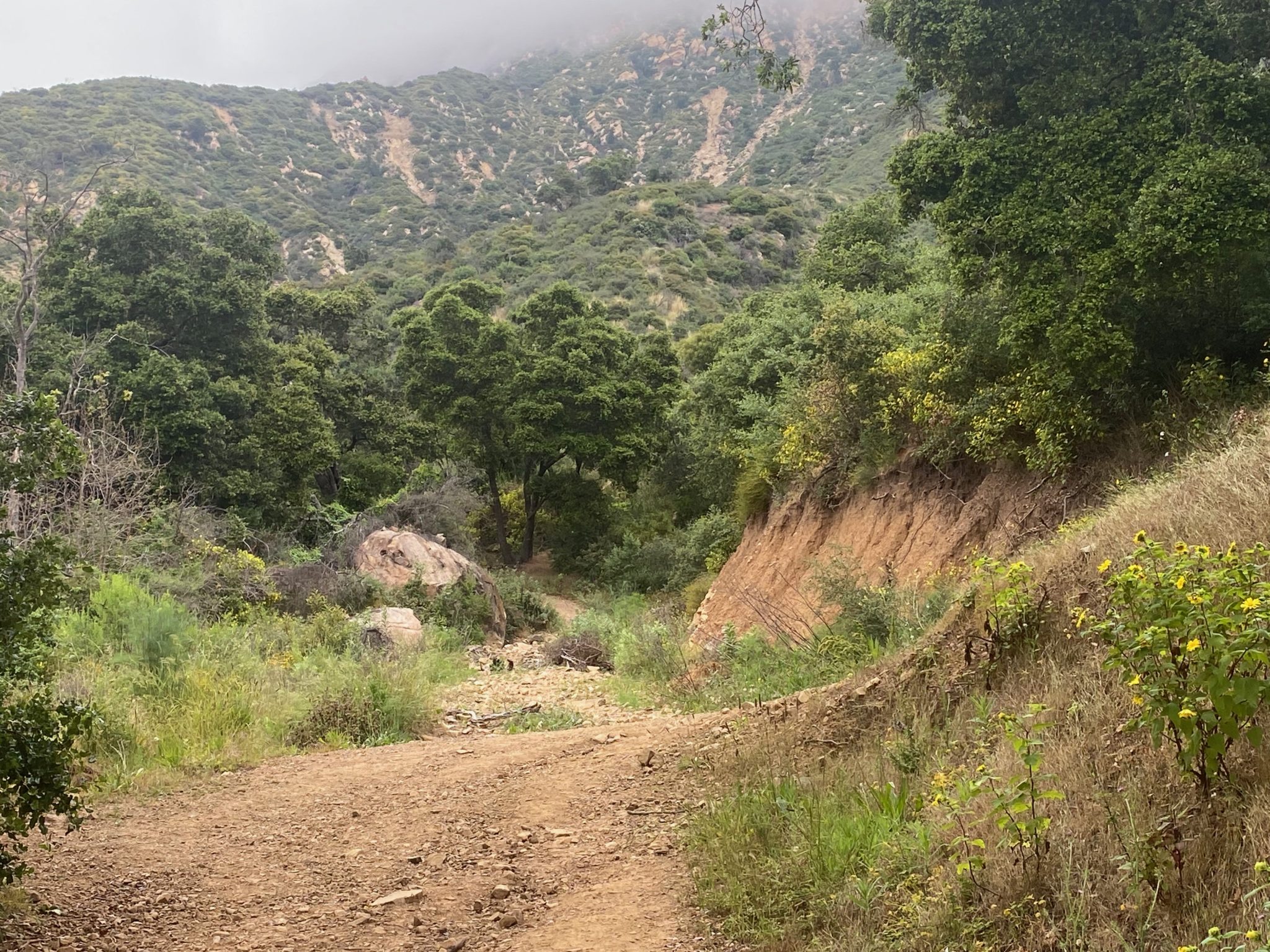
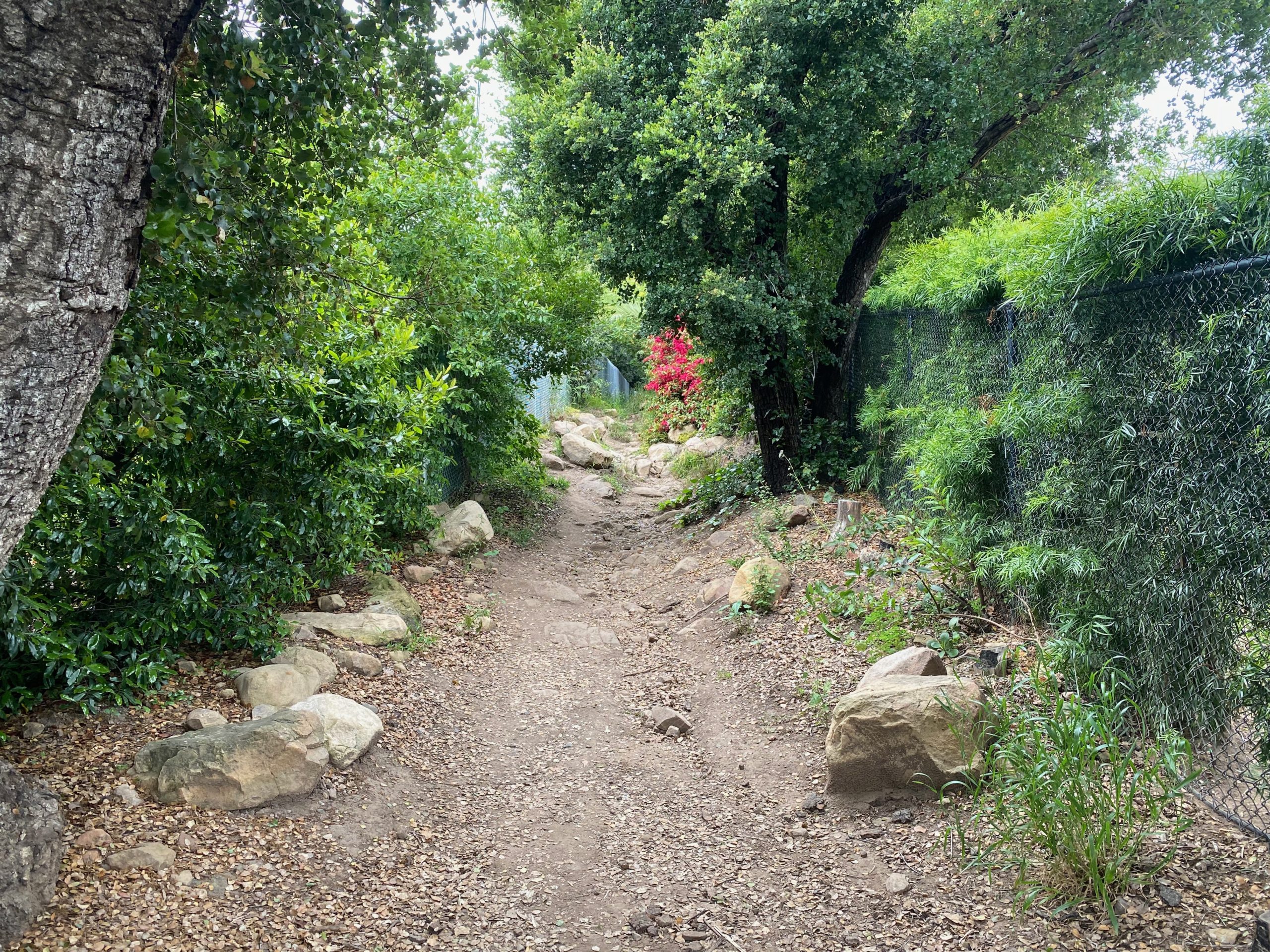
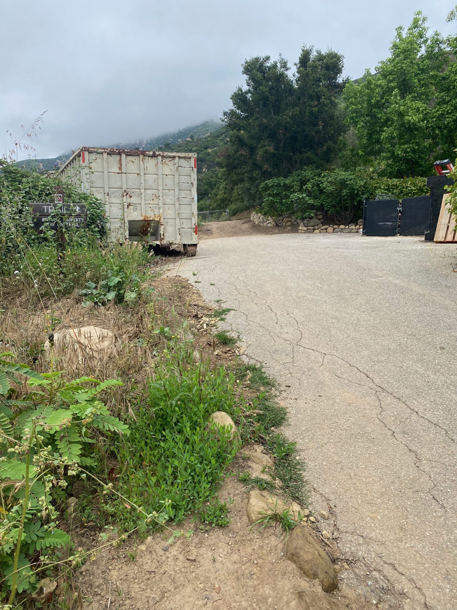
The path is narrow and rocky. You’ll walk with the fence on your left until you come to the main road and a fork. Keep left, and keep on keeping on (left, that is): where the main road turns back into a dirt road, where the trail signs continue, and by the chain link fence.
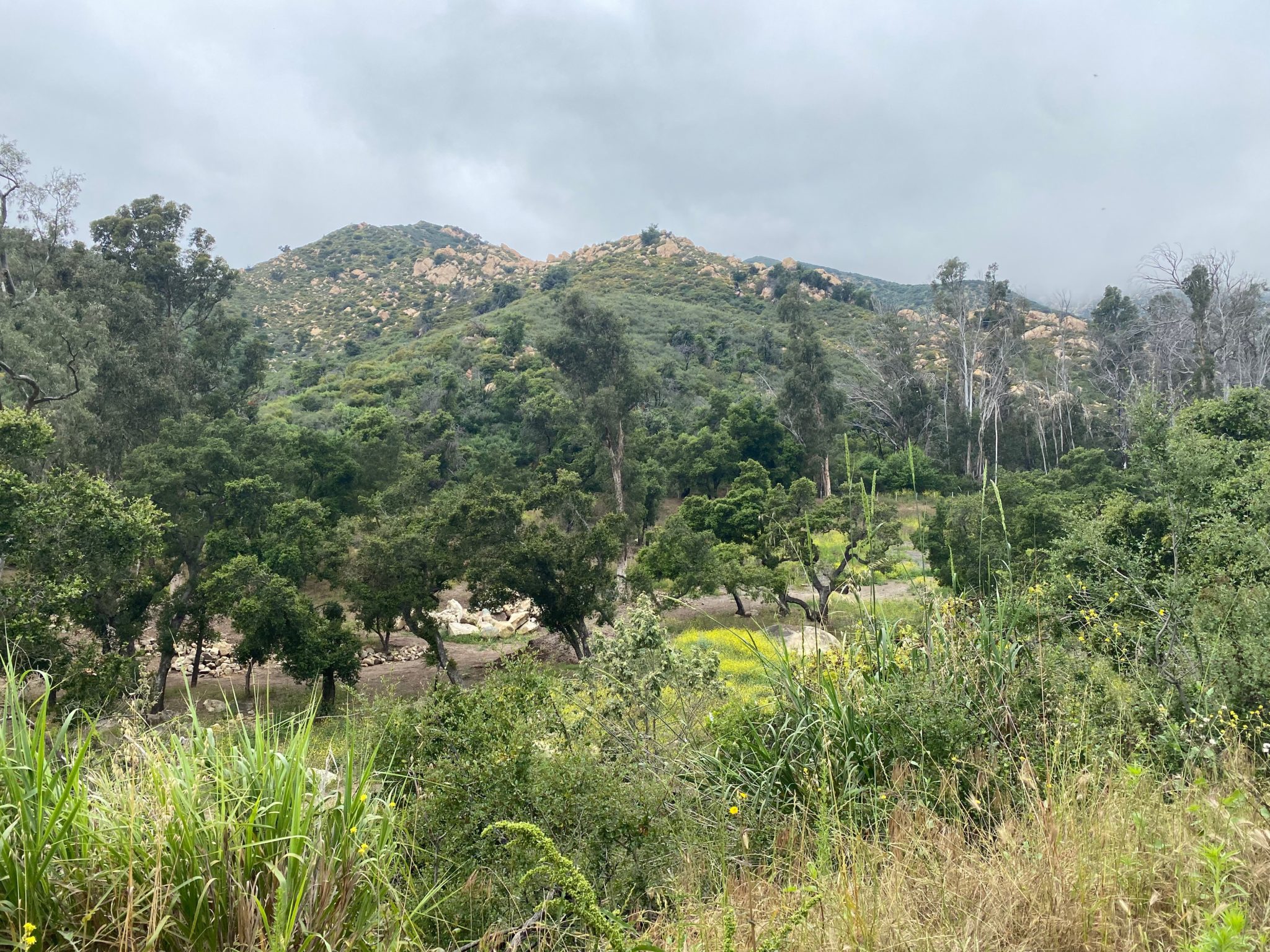
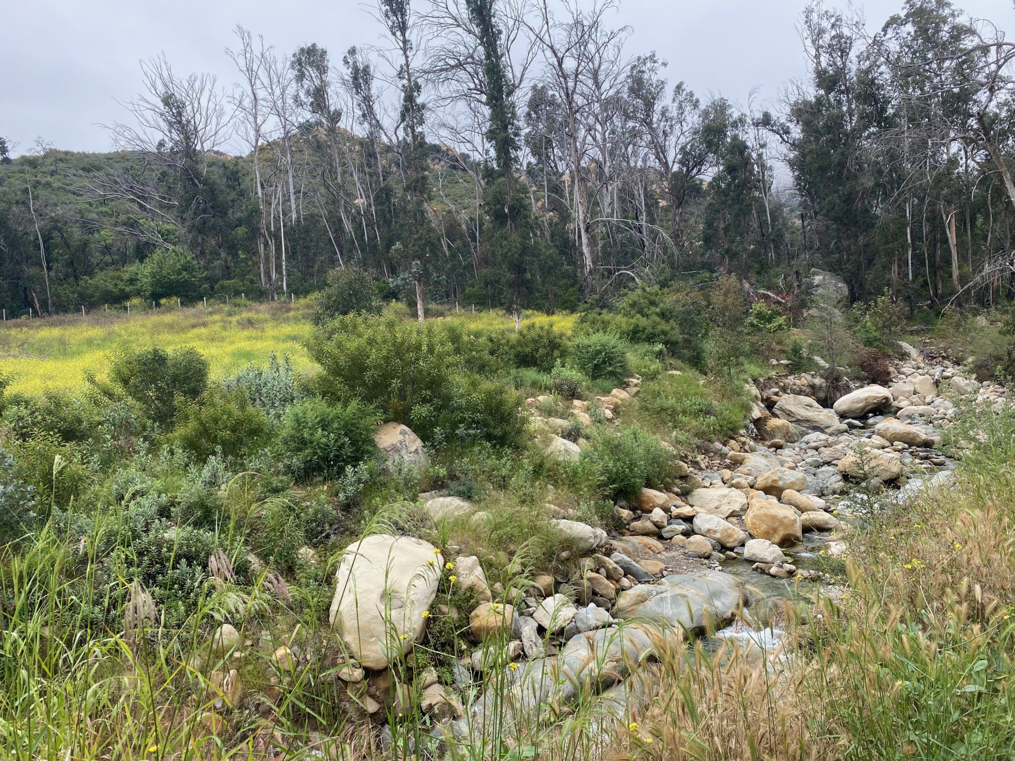
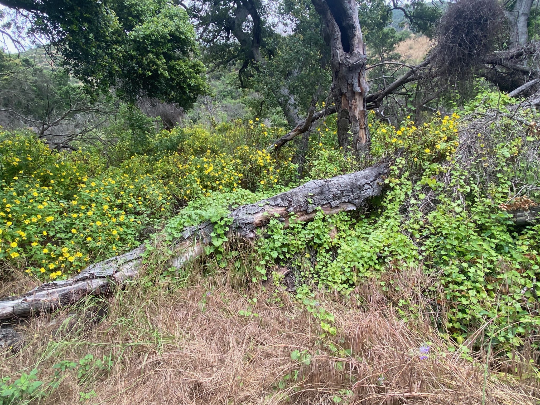
Suddenly, the hike opens up and transports you to a magical, nature-filled wonderland. Birds are singing, and lush greenery and overgrown (in a delightful way) chaparral shrubs keep you company as you wind your way alongside the rushing creek. Rule of thumb for this hike — if the creek is on your left, you’re going the right way. At this point, you also have great views of the mountains in the distance.
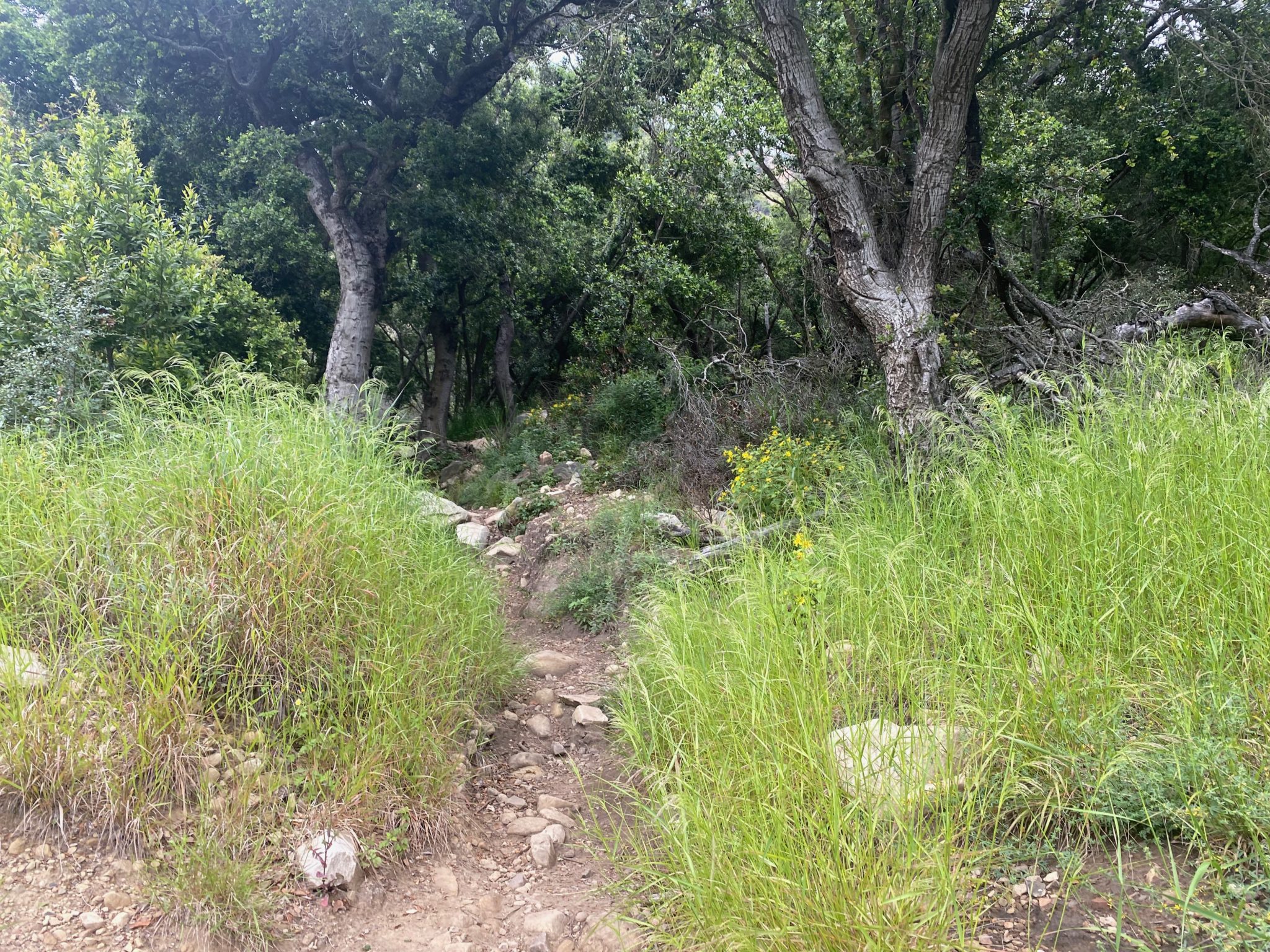
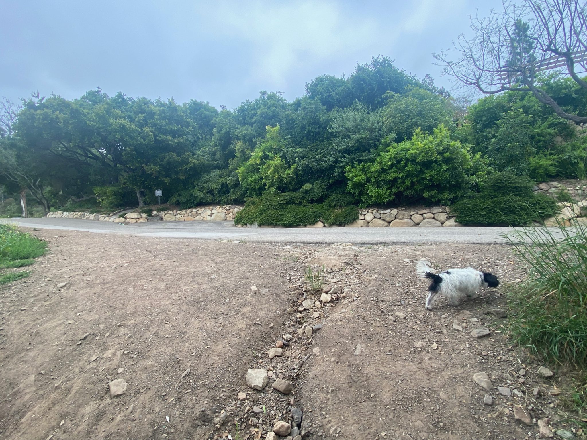
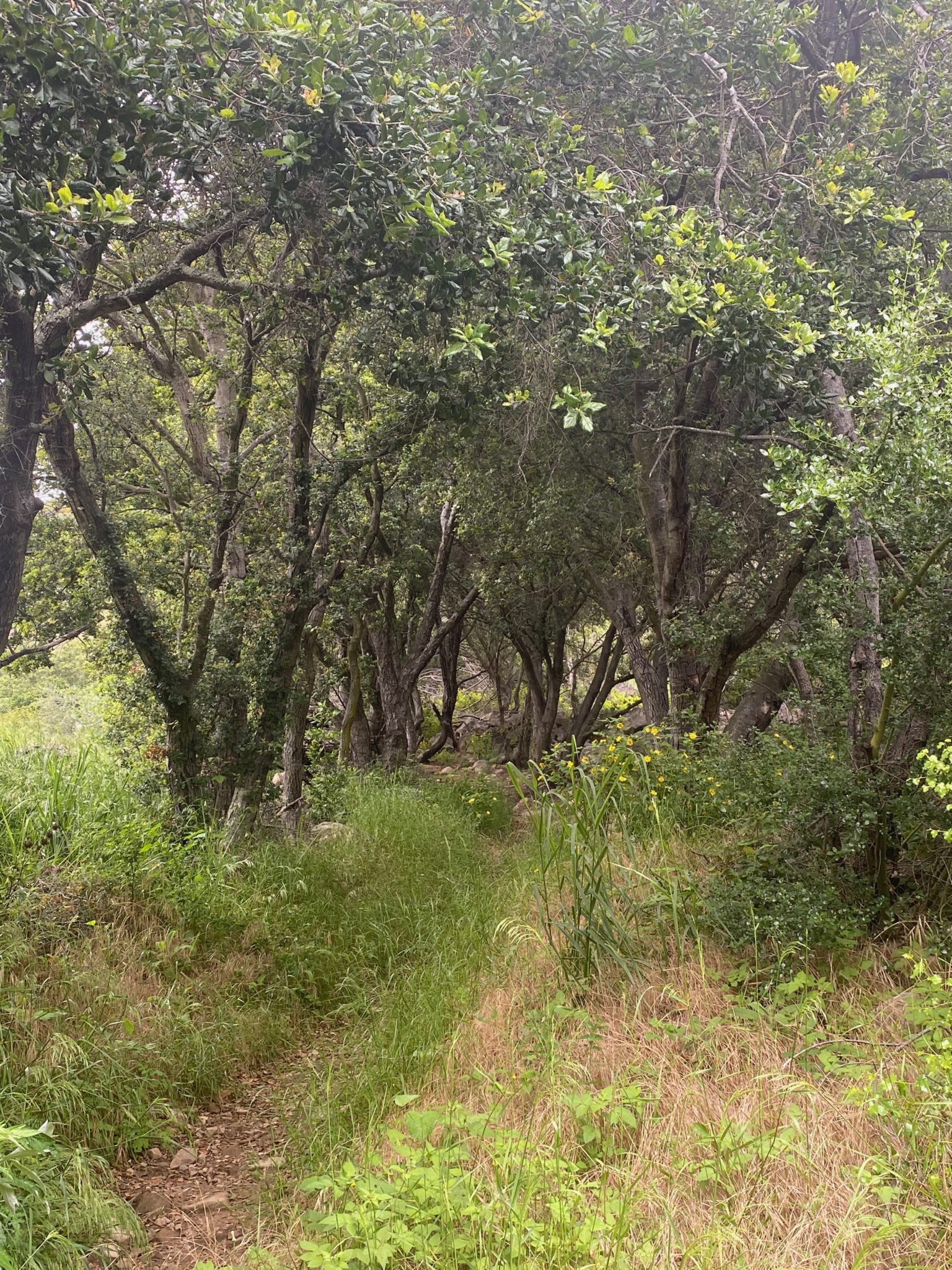
Keep right at the next fork, and be prepared to meet lots of dogs as you continue! Watch out for horse poop in this area (and for friendly pups with deceptively muddy paws who will leave adorable paw prints all over your pants).![]()
![]()
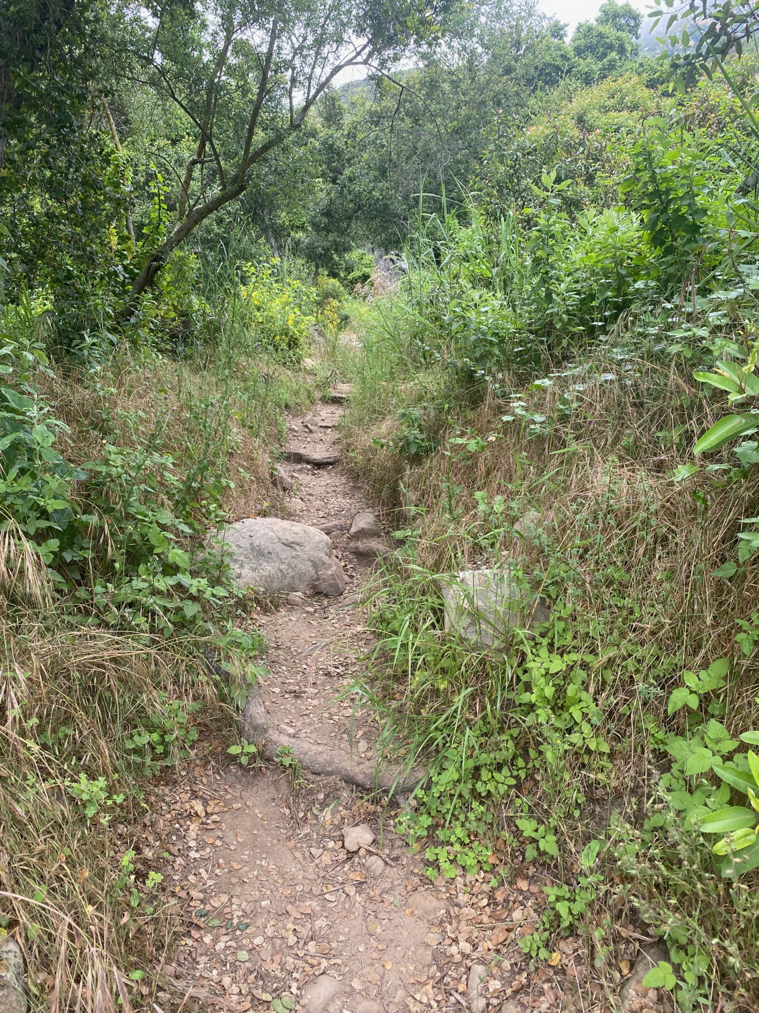
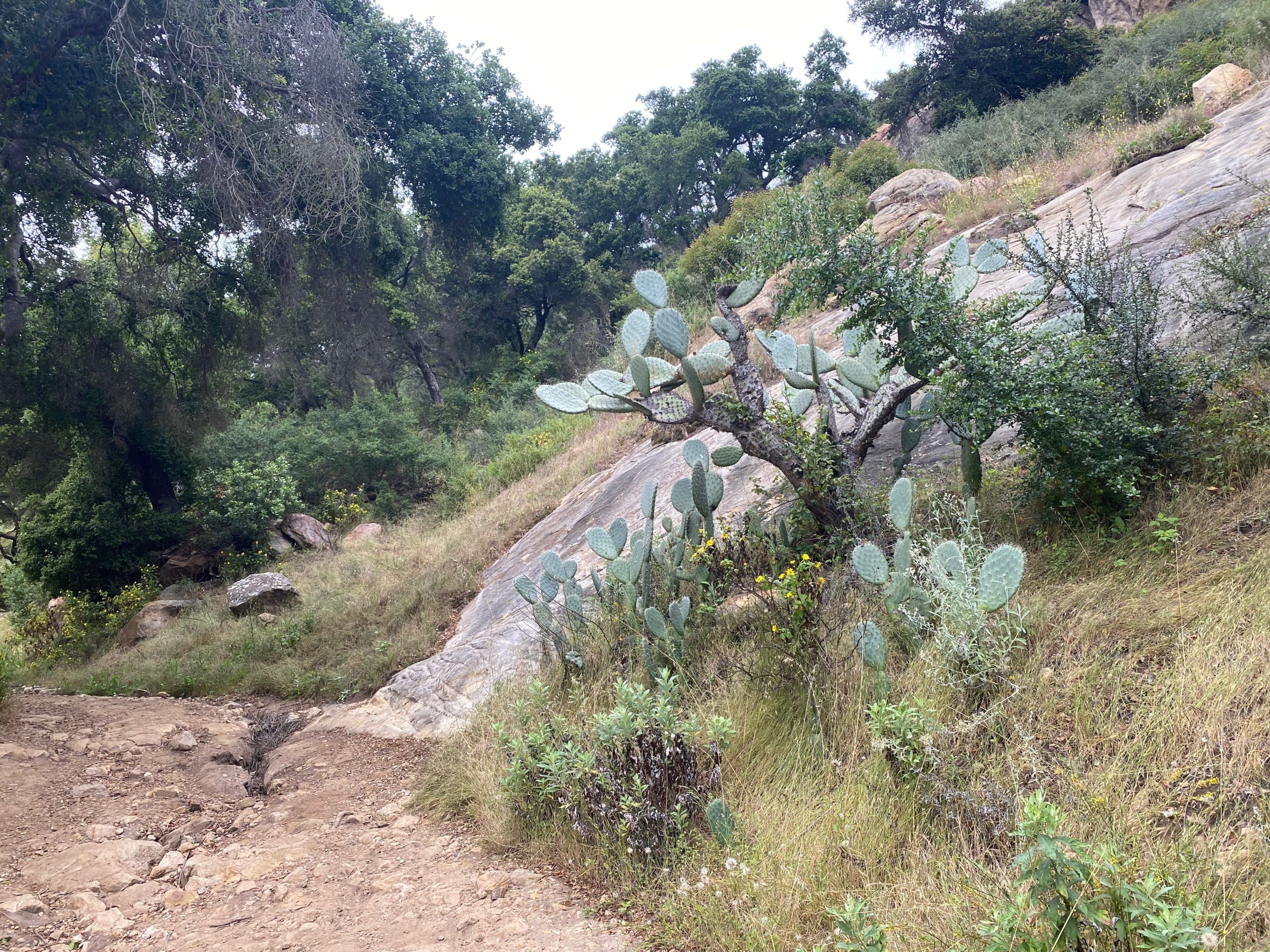
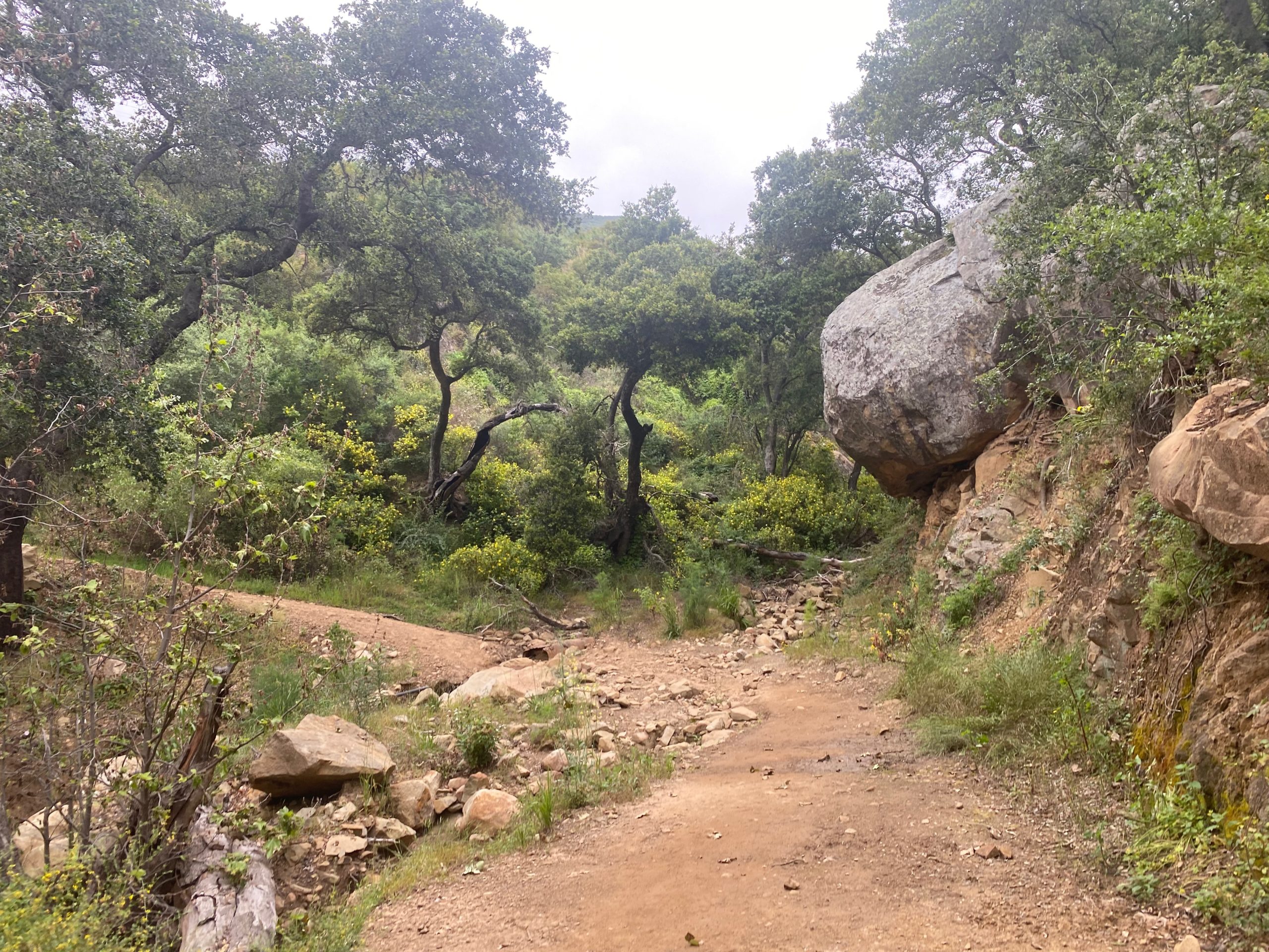
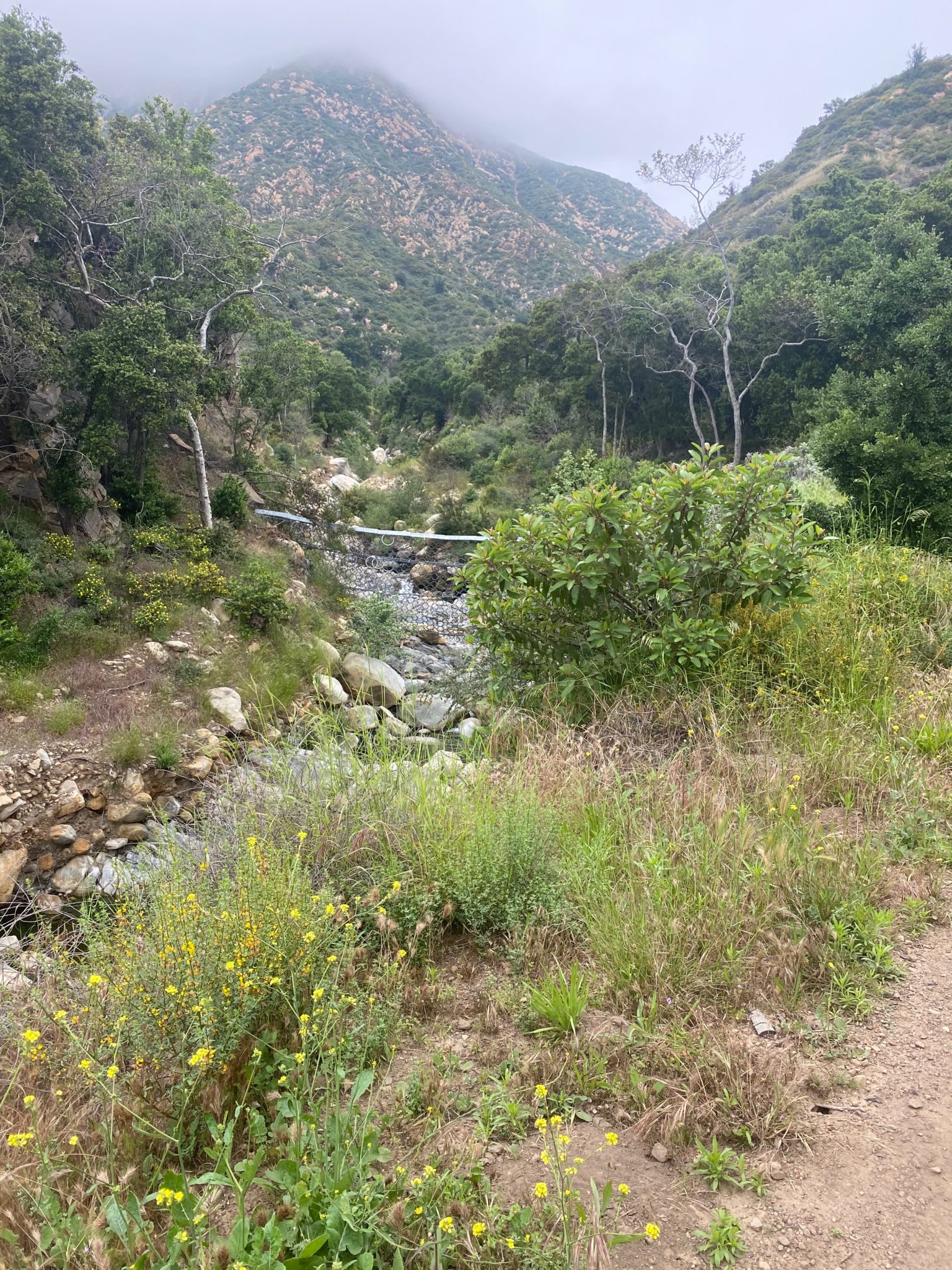
You’ll start to notice a fairly steady incline at this point, but it’s gradual and not too bad. Depending on what time of year you go, expect a bit of mud on various points, as there’s several creek “crossings” (they’re small, easy, and were fairly dry when I went in May) along the way. After a little while, you’ll notice San Ysidro Rock, a popular climbing destination, on your left.

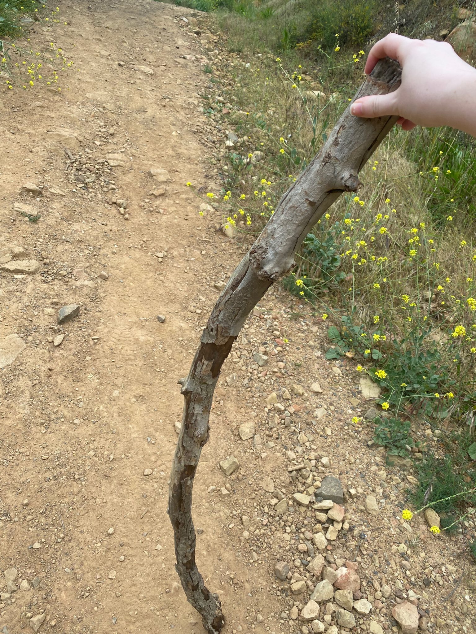
P.S.: Benefits of being friendly to other hikers is that they’ll give you (me) their giant walking stick on their way down, and it will help you (me) immensely.
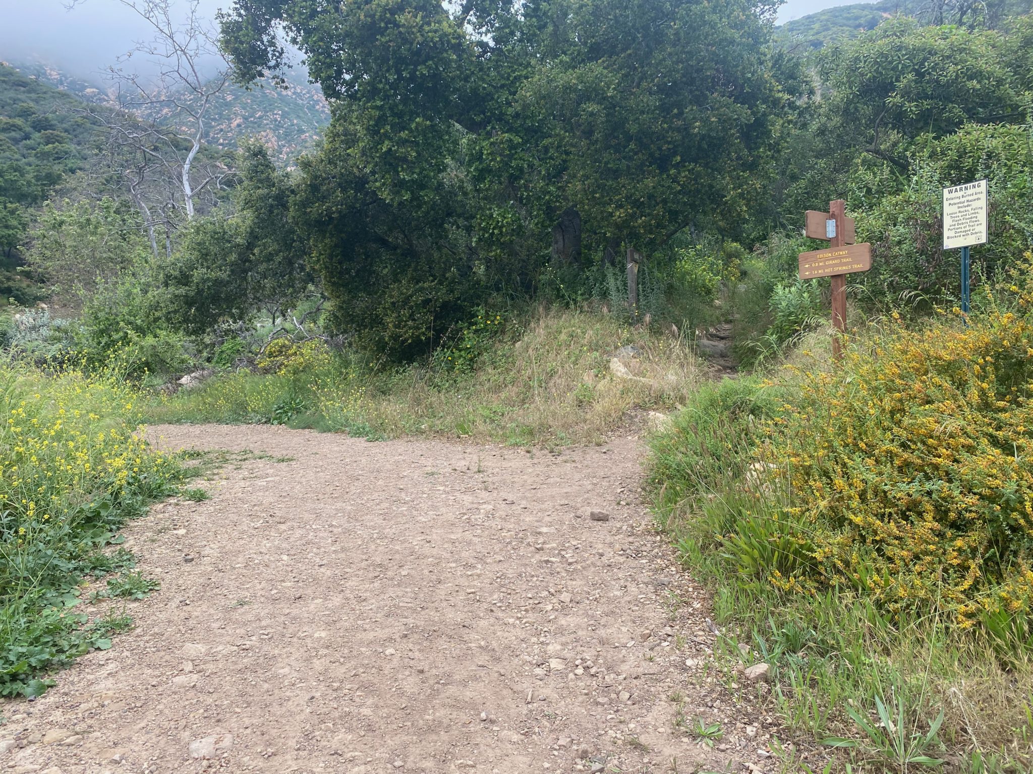
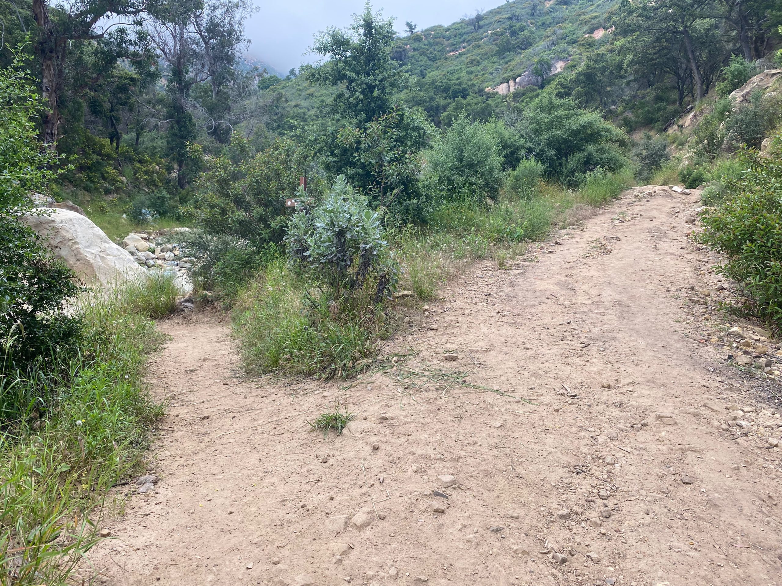
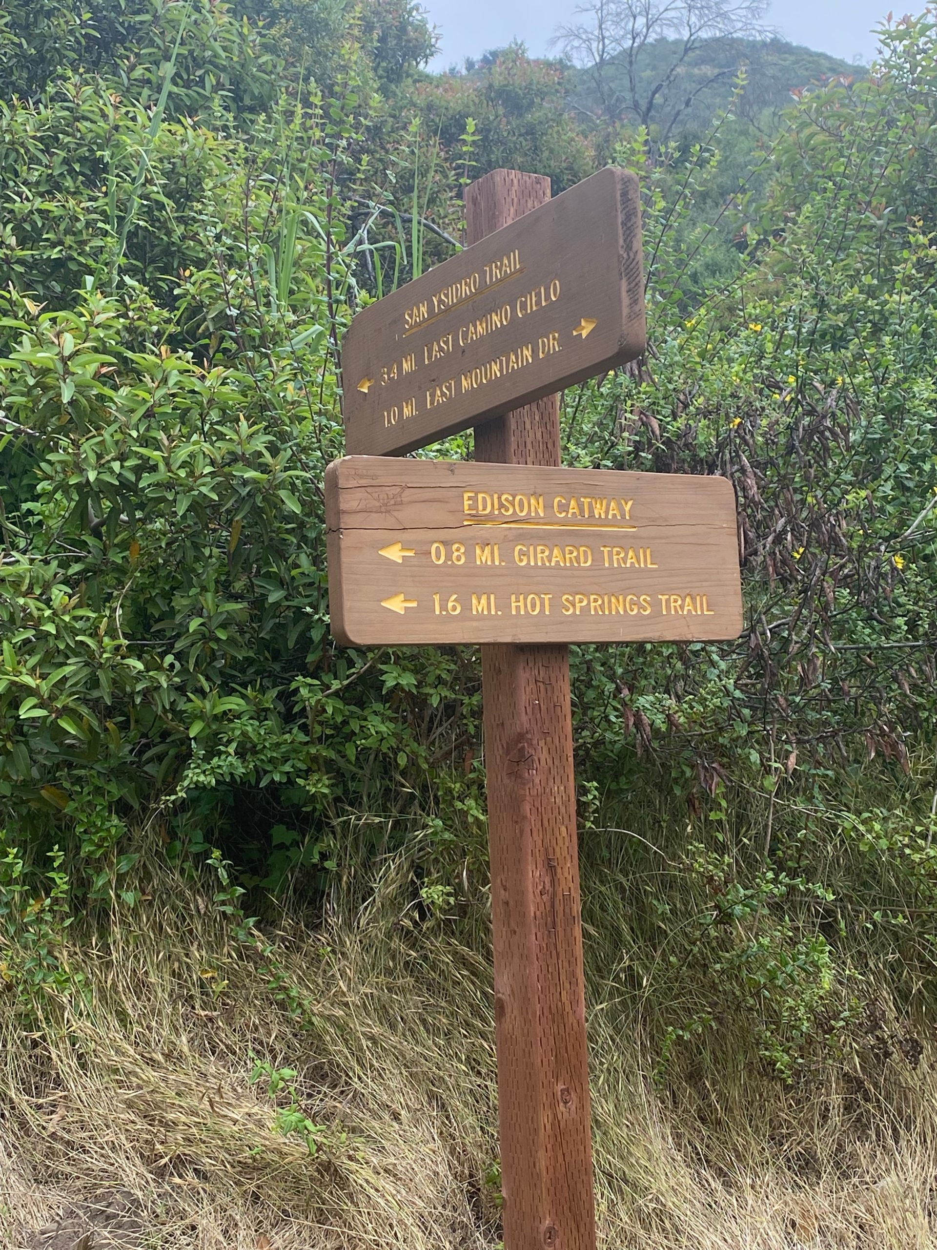
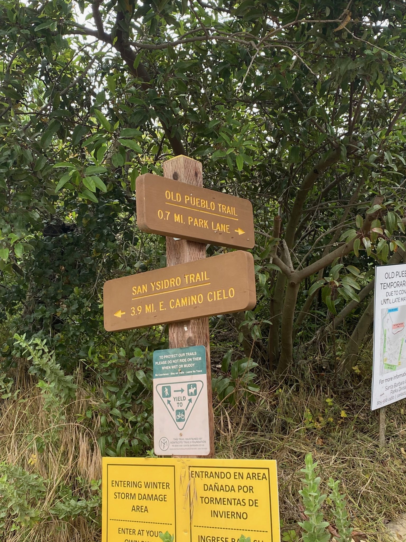
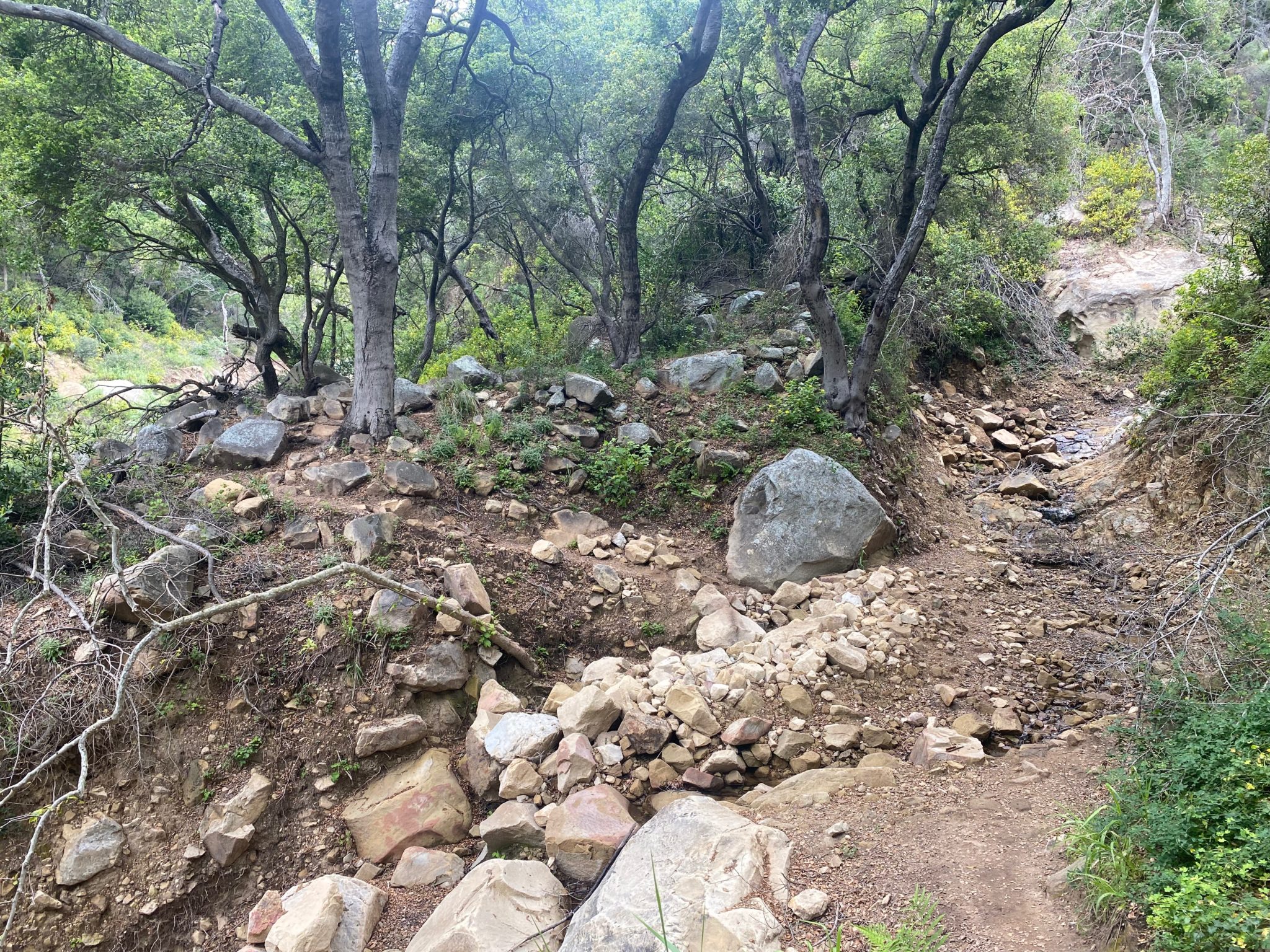
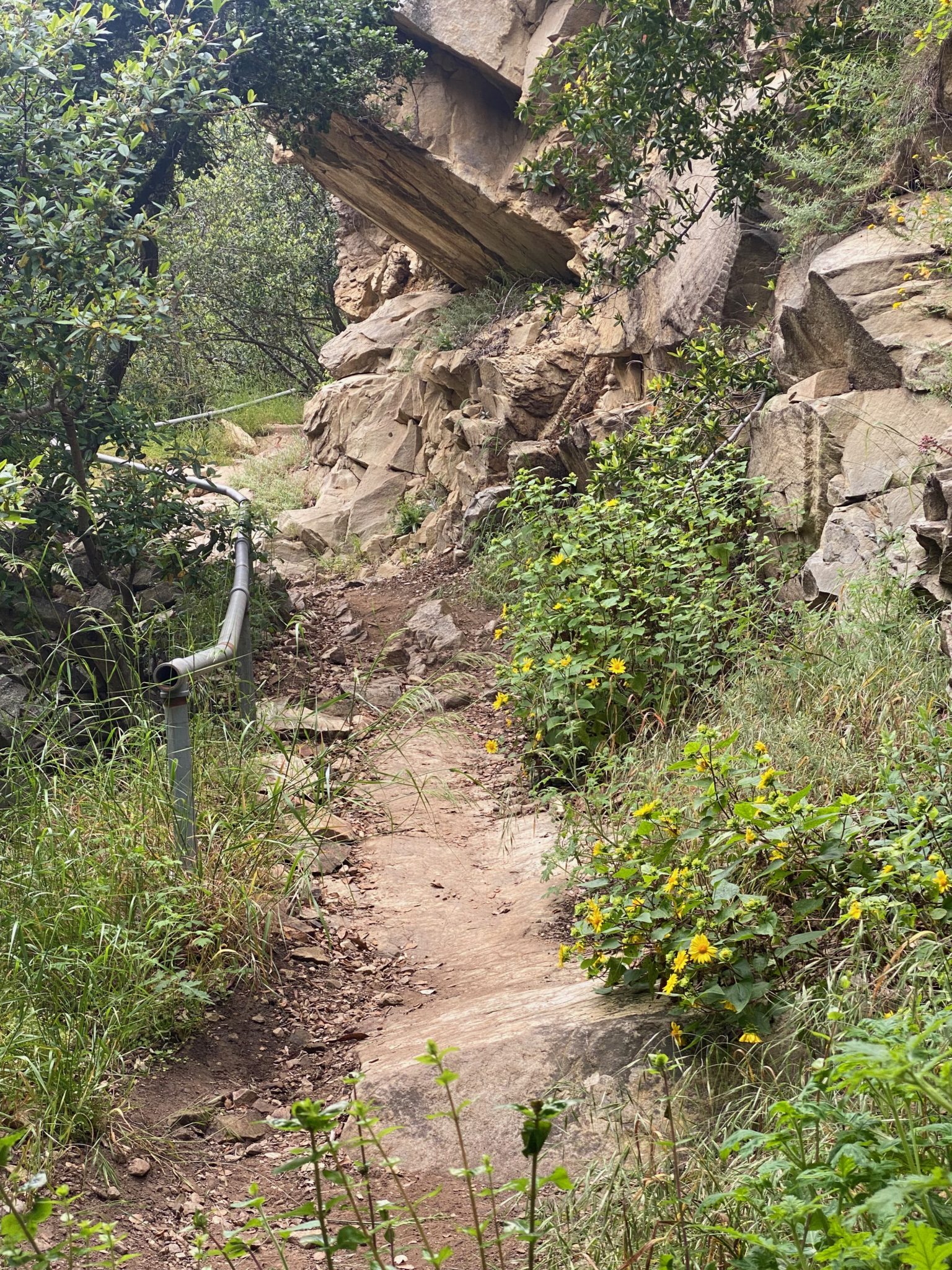
You’ll soon come to a fork. Keep left. Cross the rocky crossing; I imagine after a big rain this would be a tough water crossing, but for me it was dry. Keep right at the trail sign, up the very steep narrow path. The trail curves to the left.
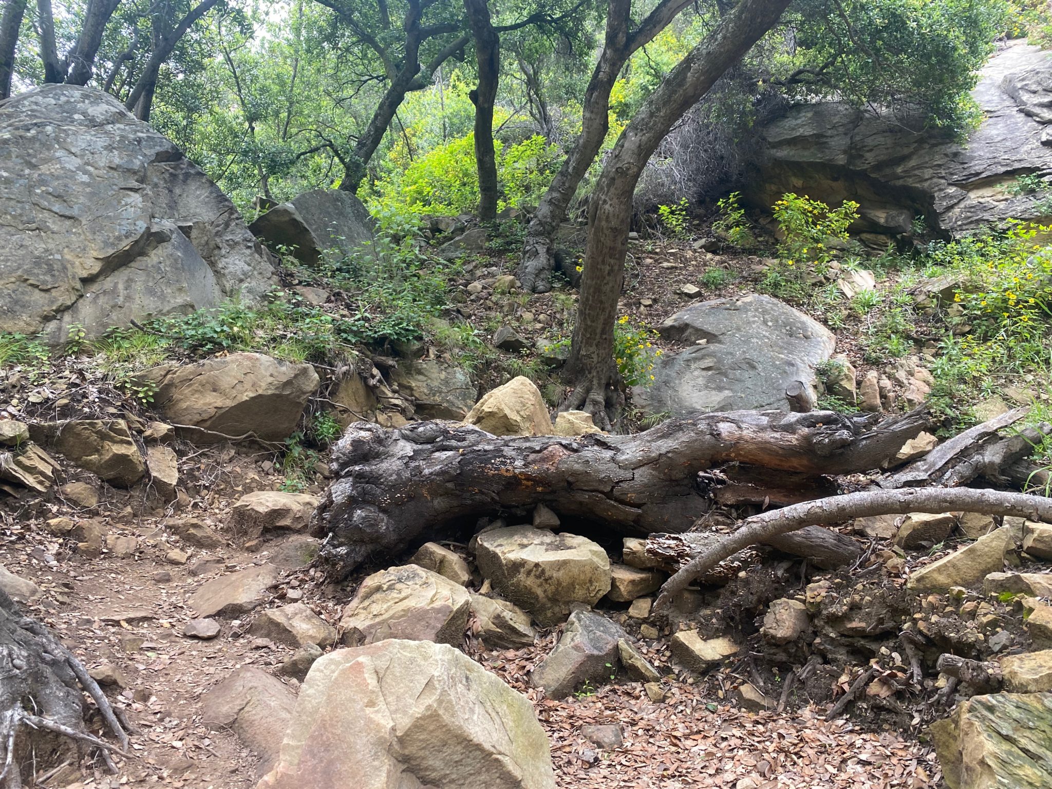
Eventually, about 1.5 miles in, you’ll come to a small creek crossing . It was fairly dry in Spring after the big 2023 storms, so I can’t imagine it gets too wet for a long time here.
You’ll come to what looks like a dead end, but keep curving right and the trail will reveal itself. (image 30 after current image).
![]()
The path remains narrow and there’s a steep dropoff on your left, but there’s protective railing and it feels very safe.
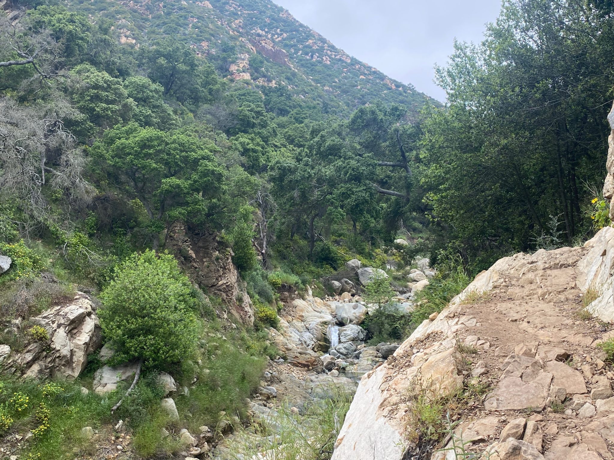
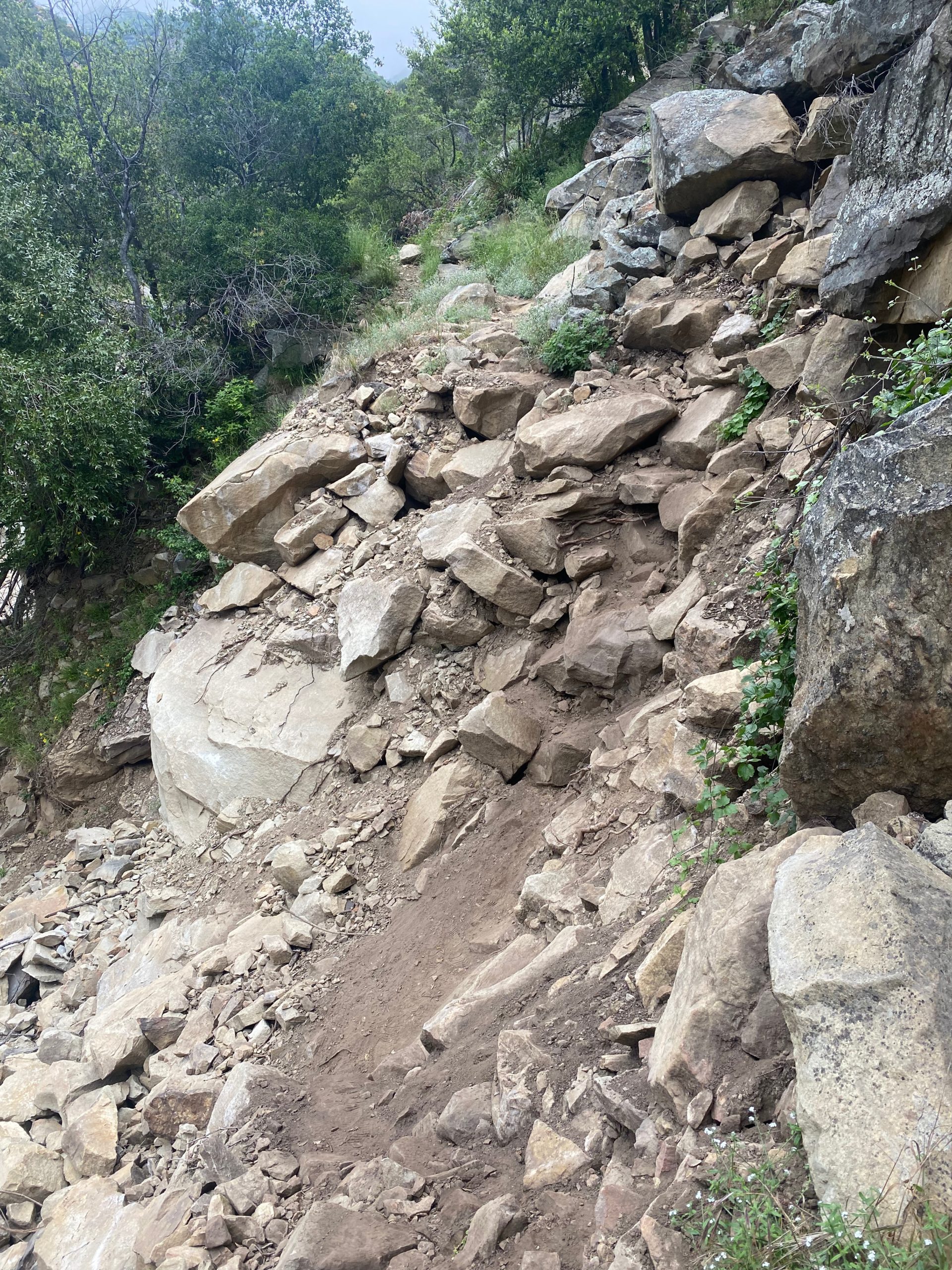
Unfortunately, just as I came to the biggest creek crossing before reaching the famous waterfall, I was at a junction I couldn’t cross. It looked like a small rockslide had blocked the trail. If you’re a competent rock climber you could get across, but I was alone and didn’t want to take the risk. One slip of my foot on the loose dirt confirmed to me that this was not what I should be doing. It was disappointing to have come to close to the end of the hike and the stunning view (I was less than half a mile from the waterfall), but I had to prioritize my safety and chose to go back.

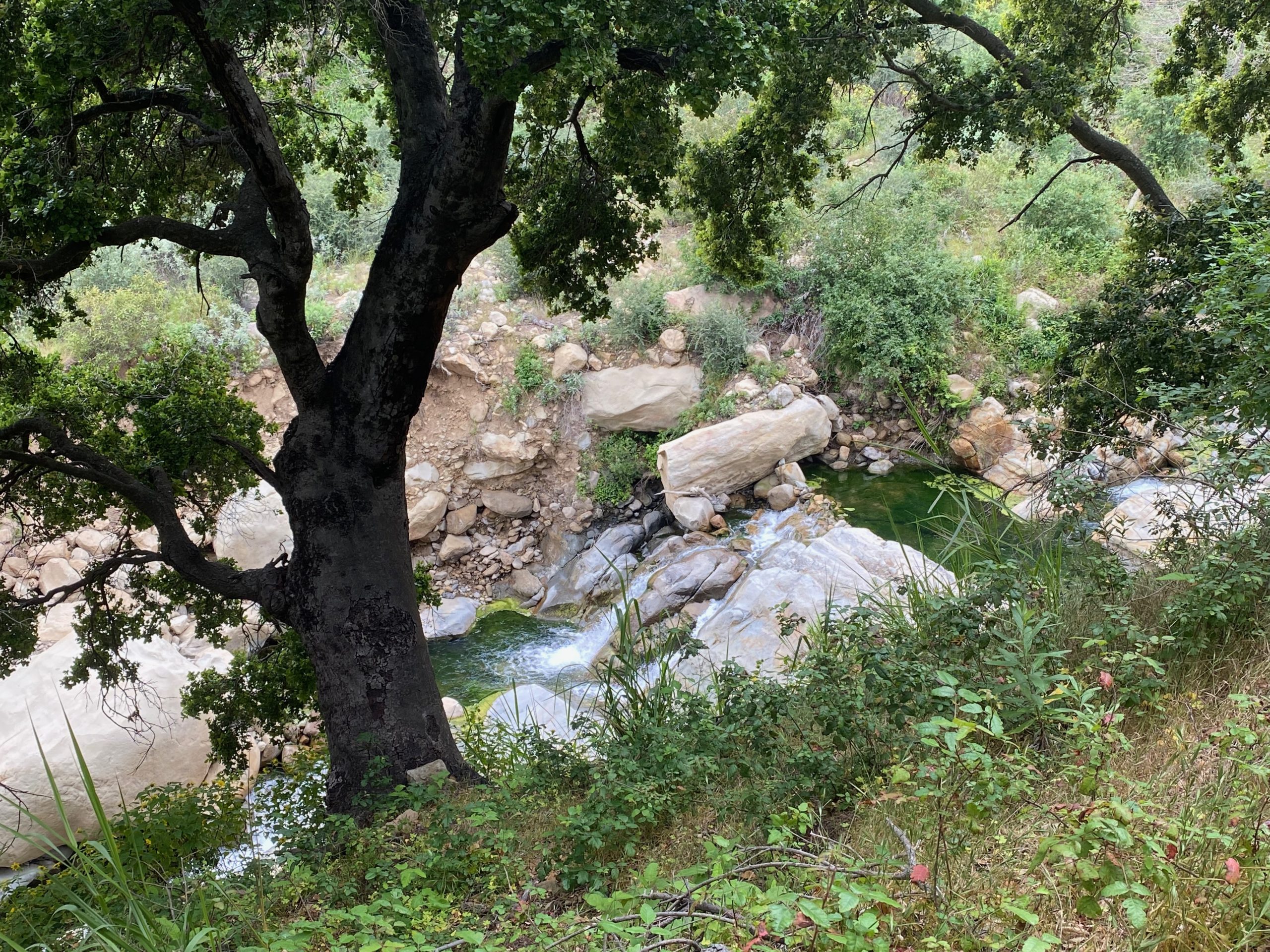
Luckily the trail itself was so beautiful, and full of little waterfalls along the creek that I didn’t feel like I wasted a single moment of my time trying to get to the waterfall. The trail itself was stunning, secluded, and the perfect afternoon in the middle of nature, surrounded by babbling brooks, birdsong, and beautiful wildflowers.