The Ancestral Puebloans (formerly called the Anasazi) were an advanced Native American civilization that survived and flourished in the Four Corners region for nearly a thousand years from around 1500BCE through the 1600s CE. This culture is known for its kiva structures and the massive and architecturally advanced pueblos and cliff dwellings, and for much of the ‘golden age’ of its people, Chaco Canyon was at the center of their world.
The great houses at Chaco Canyon were built between 850 and around 1140 CE. At their height, these meticulously planned grand structures housed hundreds of people. Grand roadways stretched in every direction for miles — sometimes climbing straight up cliff walls — and the canyon was the center of a trade network that stretched from the California coast to Mesoamerica.
Today, the 16 great houses preserved within Chaco Culture National Historical Park are the largest, best preserved, and most complex prehistoric architectural structures in North America — and Pueblo Bonito was at the center of everything.

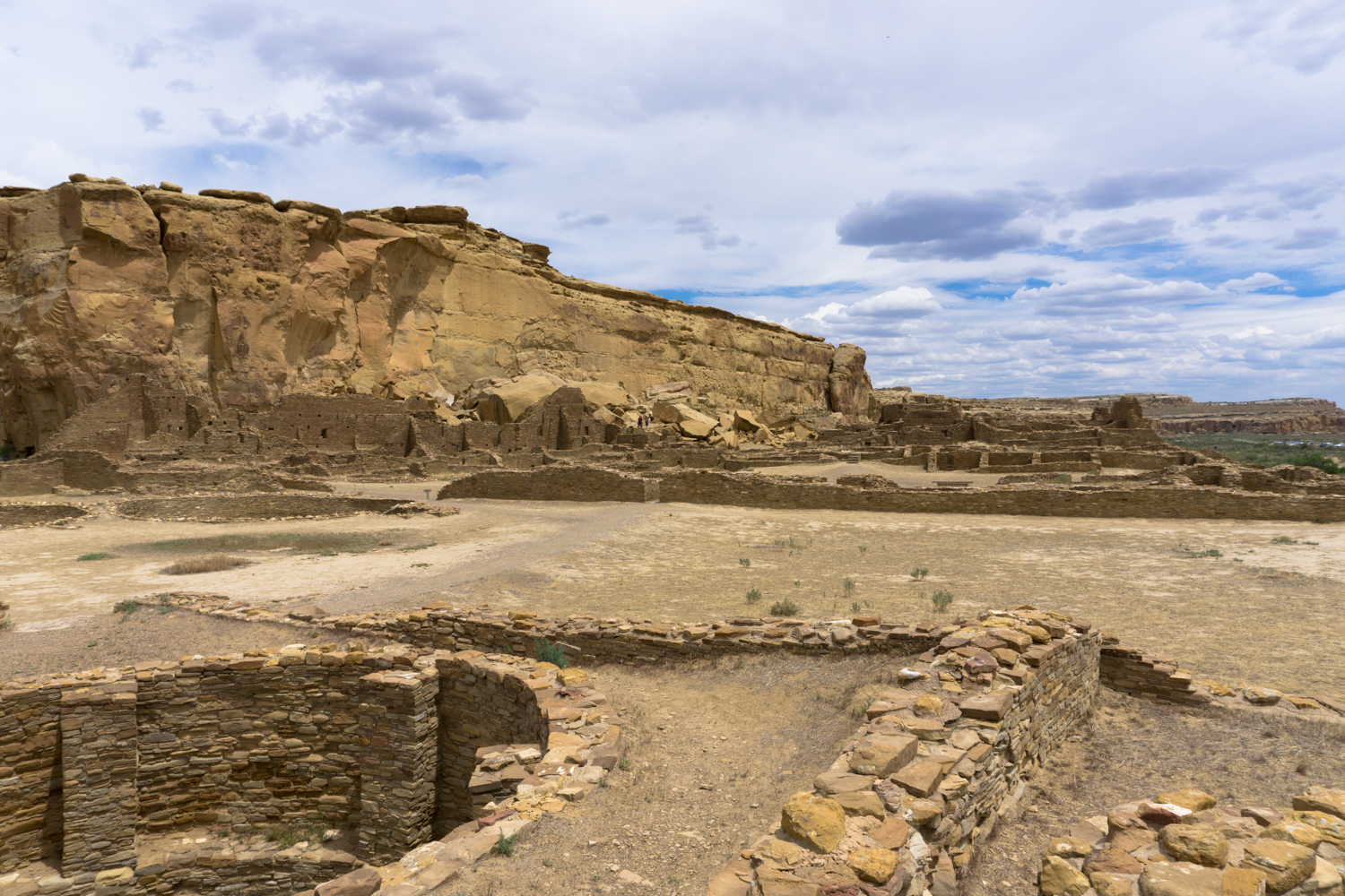
Pueblo Bonito from the trail to Pueblo Alta
This hike as described ties together three of the park’s highlights — nearby Chetro Ketl great house, the Petroglyph Trail, and of course, Pubelo Bonito itself.
We’ll get into some of the history and culture a little bit here, but before you head out to this trail, we strongly recommend picking up some trail guides from the visitor center. They will add quite a bit to your experience visiting these incredible sites.
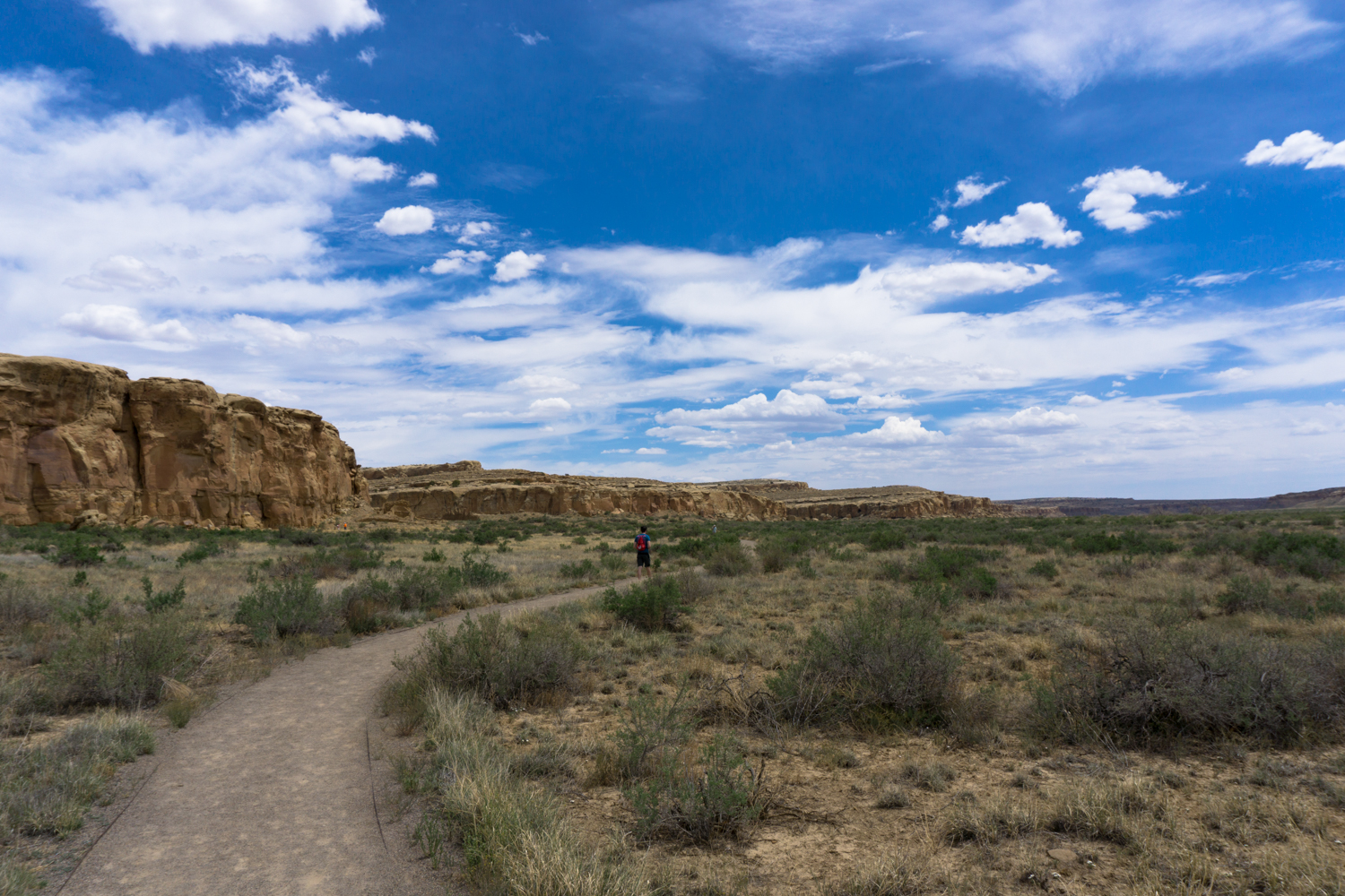
This route begins with a visit to Chetro Ketl, which was constructed between around 1000 and 1100 CE. Follow the broad gravel trail to the site from the parking area (and enjoy some of those ridiculously gorgeous New Mexico skies if you’ve got ’em!).

Chetro Ketl, like all Ancestral Puebloan great houses, began as a single story room block (archeologists date this to around 1010 CE). But like all Puebloan sites, the entire complex was laid out and designed with a full purpose and vision in mind, and by the early 1100s it covered almost 3 acres. This was the second largest great house in Chaco Canyon, and it contained an estimated 500 rooms on three floors of construction. The Chacoan style of design meant great houses always formed a “D” pattern, aligned with the landscape and stars — but there are some unique features to this particular great house.

As you approach the ruins of the great house, you’ll walk across the remains of a kiva — a circular room that roughly translates from Hopi to “ceremonial chamber.” From where you are standing, you may notice you have a fairly commanding view of the rest of the canyon. Chacoan engineers elevated this open plaza area about 12 feet above the surrounding valley floor — perhaps to protect against water erosion and flash floods from the nearby canyons, or perhaps just to make the building look more imposing.
Continue heading east, where you’ll come across a thick colonnade-style wall. This type of construction is unique to this particular great house in Chaco Canyon, and is extremely rare in the Ancestral Puebloan sites. Evidence suggests this particular wall was built about 50 years after the main portions of Chetro Ketl were designed and built. The wall style is in fact much more common in the Toltec culture of central Mexico. Macaws and turquoise from that region have been found in Chaco Canyon, so perhaps the Puebloans also picked up a few design ideas, too?

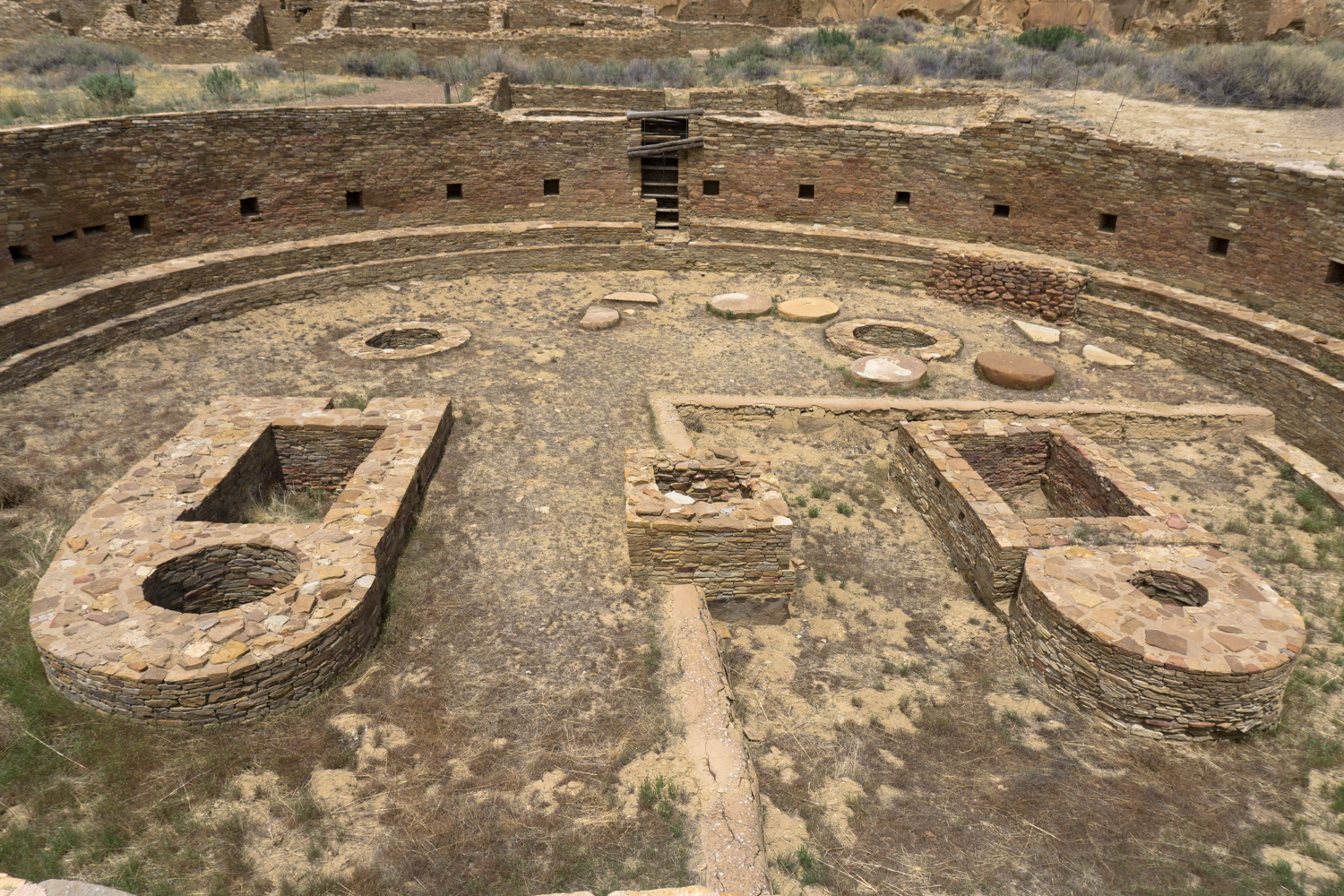
Further along the trail — and a clear highlight of this ruin — is the excavated great kiva:

Great kivas are very formal structures that appeared throughout the Ancestral Puebloan world in pretty much the same exact layout. Although their exact purpose remains unclear, what is clear is they were extremely important to the people who lived here and within the reach of this culture and its traditions.

When archeologists excavated this great kiva, they found an unusual artifact — four sandstone discs beneath the floor. Beneath the discs were alternating layers of adobe and low-grade coal called lignite and beneath that, a suede pouch containing powdered turquoise. Its meaning has been lost to time.
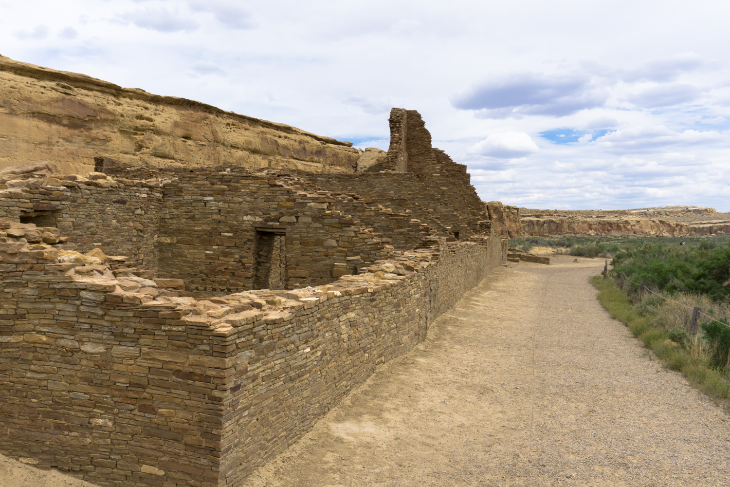
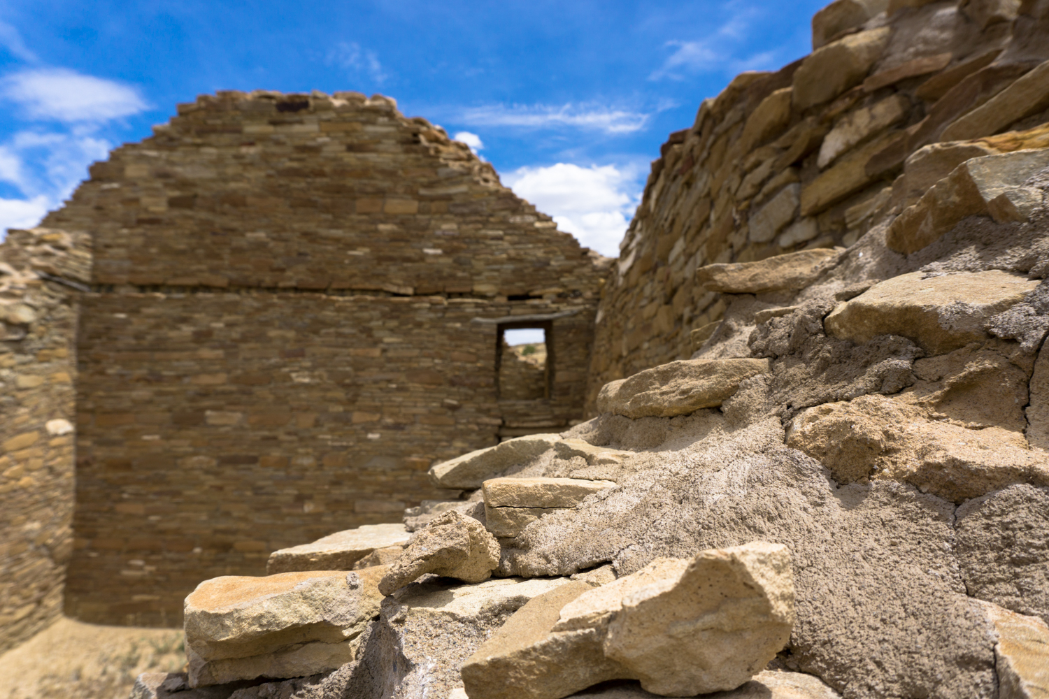
Enjoy the rest of the multi-layered kivas and structures as the trail winds its way around the remaining buildings of Chetro Ketl. On the north side of the building near the cliff, you may be able to make out the remnants of the Chacoan Road that went straight up the mesa toward Pueblo Alto. Several handholds and carved out steps still remain.

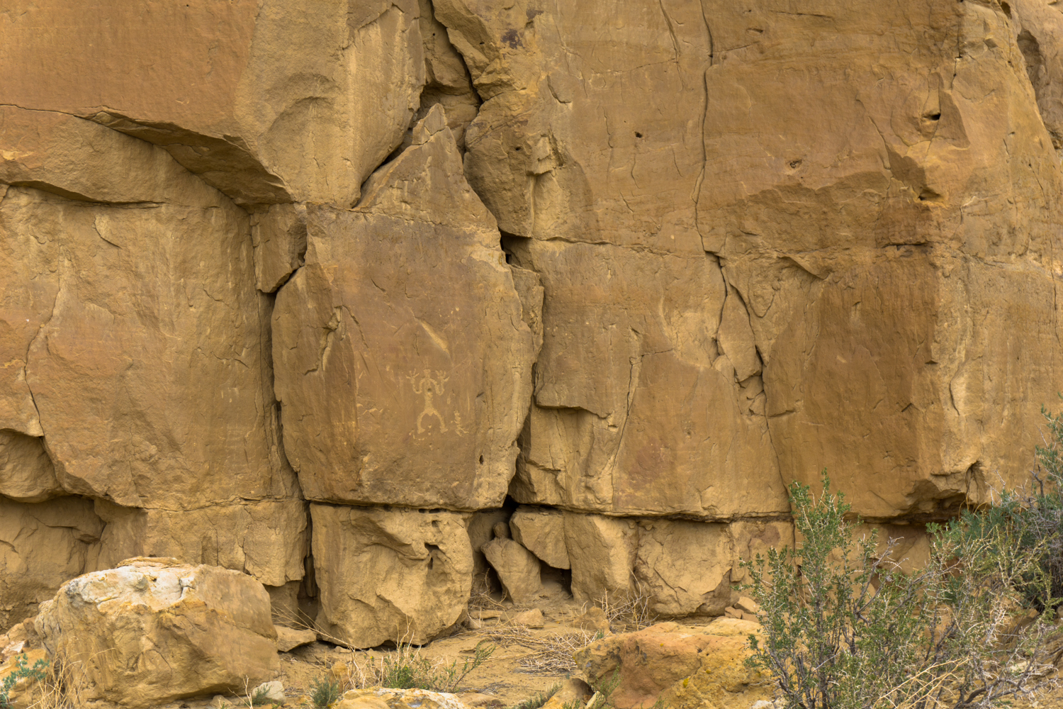
If you keep looking at the cliff face, you’ll eventually come across what appeared to be drilled holes — and further along the route, you’ll come across some of the many, many petroglyphs in this small area of the canyon.


In some cases, these holes were roof supports for housing structures that leaned up against the canyon wall. In other instances, they are thought to be places where Puebloans sharpened their tools.
The petroglyphs themselves are mostly from the time when Chaco was occupied — generally between 850 and 1250 — although there are also later additions from Spanish and Anglo settlers, American pioneers, modern vandals, and a painting left by a Zuni member of the National Geographic expedition that excavated and restored the ruins in the 1920s.
It should go without saying, but we’ll say it anyway — do not add your own ‘contributions’ to these petroglyphs.
There are a few exceptional and rare petroglyphs here — including a bird image that is the world’s only known instance of a petroglyph that combined all of the four primary means of creating such rock art. Again, there is a great guide to the panels here available at the Visitor Center ($1 at the time of writing). It’s worth picking up.
Once you’ve made your way down the Petroglyph Trail, you’ll wander through the huge boulders and rubble that are all that remain of Threatening Rock — a looming chunk of the rock wall that collapsed on a section of Pueblo Bonito in 1941.

Interestingly, the Chacoans knew this section of rock was unstable when they chose this location for the Pueblo Bonito great house — the masonry and prayer-stick supports they built around Threatening Rock kept it stable for around 900 years. Not too shabby for prehistoric construction, right?
The trail works its way through the boulders and tops out on an overlook that gives you a true appreciation for the massive scale of this pueblo.

From here, you can follow the trail down into the pueblo’s plaza and through some of its structures. The trail guide from the Visitor Center will go into tremendous detail on many of the features in this landmark and UNESCO World Heritage Site. It is well worth the dollar you’ll spend on it.


Notes on Chaco Culture National Historical Park
Getting There:
Depending on the time of year you visit and the direction you’re traveling from, the roads to Chaco Canyon National Historical Park may be rough and bumpy or completely impassable. Generally, the road from the north (from US-550) seems to be the most reliable. Despite some fearful postings on travel forums, in good conditions that route is no more difficult than driving on washboard dirt roads. In poor conditions, though, it may be completely closed or impassable for low-clearance cars.
The Park Service has noted that automatic GPS directions in this region are pretty much useless, so they strongly recommend following their written directions and checking with the rangers before you head out to see if there are any updated conditions or hazards you should know about.
Inside the Park:
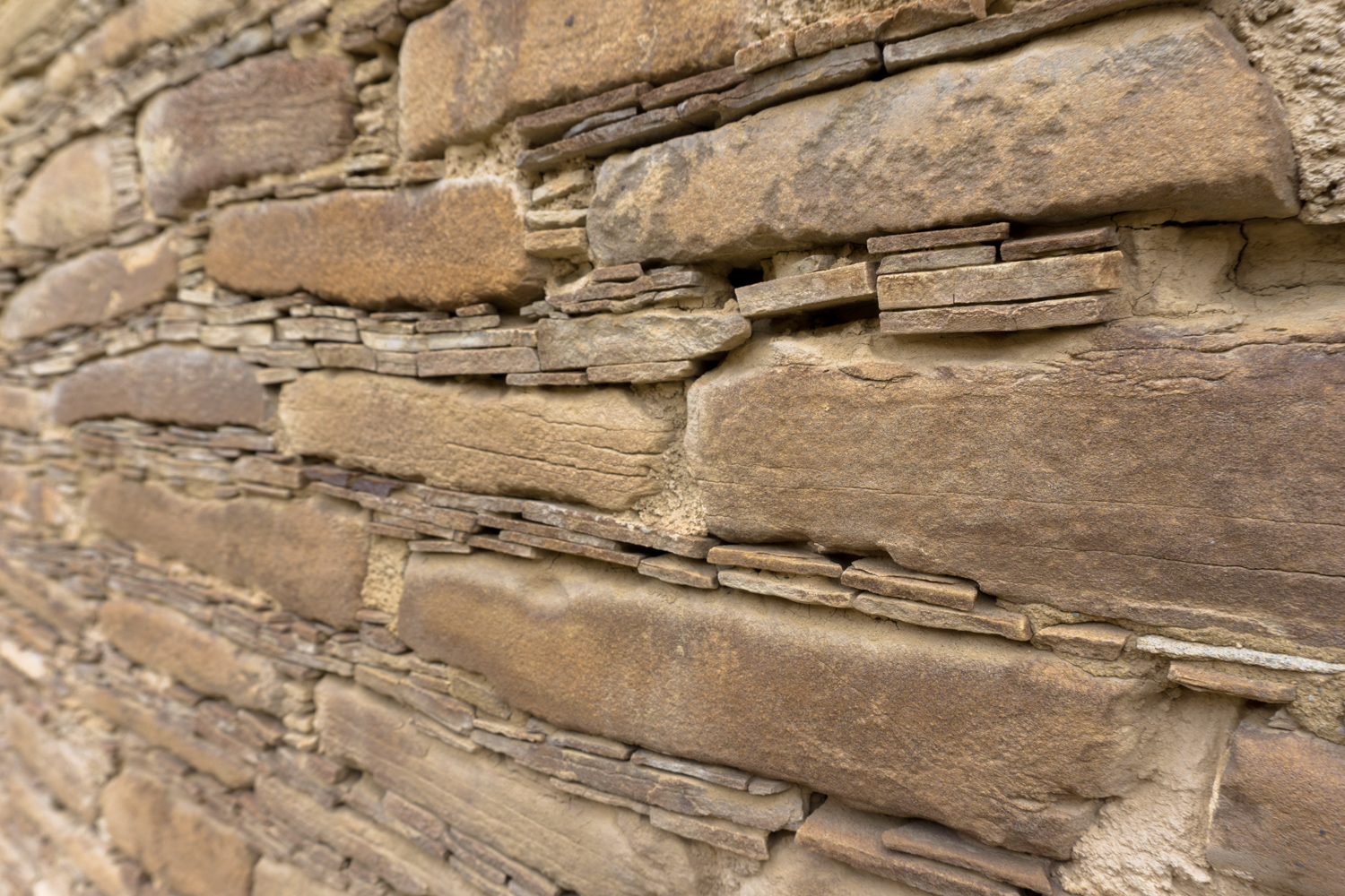
Chaco Canyon hosts extensive remains of the most important site to one of the largest and most complex societies in North America — one that researchers still don’t know that much about. In addition to being an important historical site, the region remains an important modern day cultural site for many of the tribes that descended from the Ancestral Puebloans or lived in the region after they left it. All items in the park are protected — do not take anything you find here and do not touch existing masonry as the oils from your hands may increase erosion or damage. Treat the landscape and the ruins with respect and reverence.
Tags: Ancestral Puebloans, chaco canyon, chetro ketl, national park, petroglyph trail, pueblo bonito


