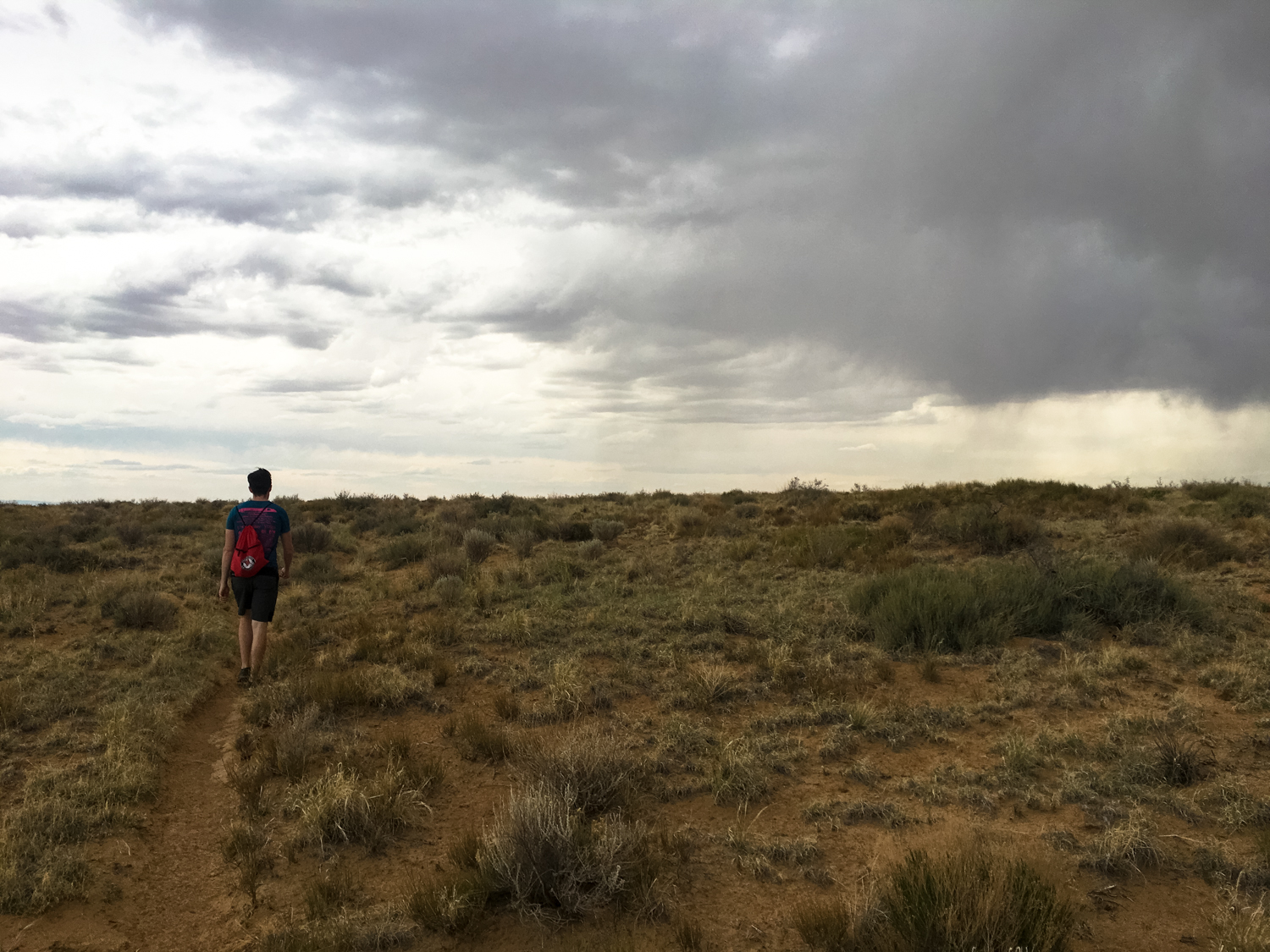
If you’re visiting Chaco Canyon, you’re likely hitting up the epic and stunning Pueblo Bonito site. It is definitely the highlight of the park — but if you’re in the mood for a little more backcountry hiking and want to visit some additional pueblo sites with a bit more peace and quiet, I strongly recommend the trek up to Pueblo Alto.
In addition to visiting two more pueblo sites, you’ll also come across many remnants of the extensive infrastructure the Chacoans left behind, including some of their roads, stairways, ramps, and ceremonial stone circles — all this while getting a bird’s-eye view of the canyon itself and the chance to hike through some exceptional Western scenery.
A backcountry trail guide is available for purchase from the visitor center ($3 at the time of writing) and will add a lot to your enjoyment of the historical elements of this trail. We strongly recommend picking one up (the guide also covers many other backcountry routes in the park).
The hike begins at the end of the publicly accessible road, just west of the Pueblo Bonito site. There’s a small parking lot near Pueblo del Arroyo, and your hike begins at a locked gate. Self-issue a backcountry permit here, leaving one copy in the register, one on your vehicle, and one in your bag — then hit the trail toward Kin Kletso.

Don’t forget to do this!
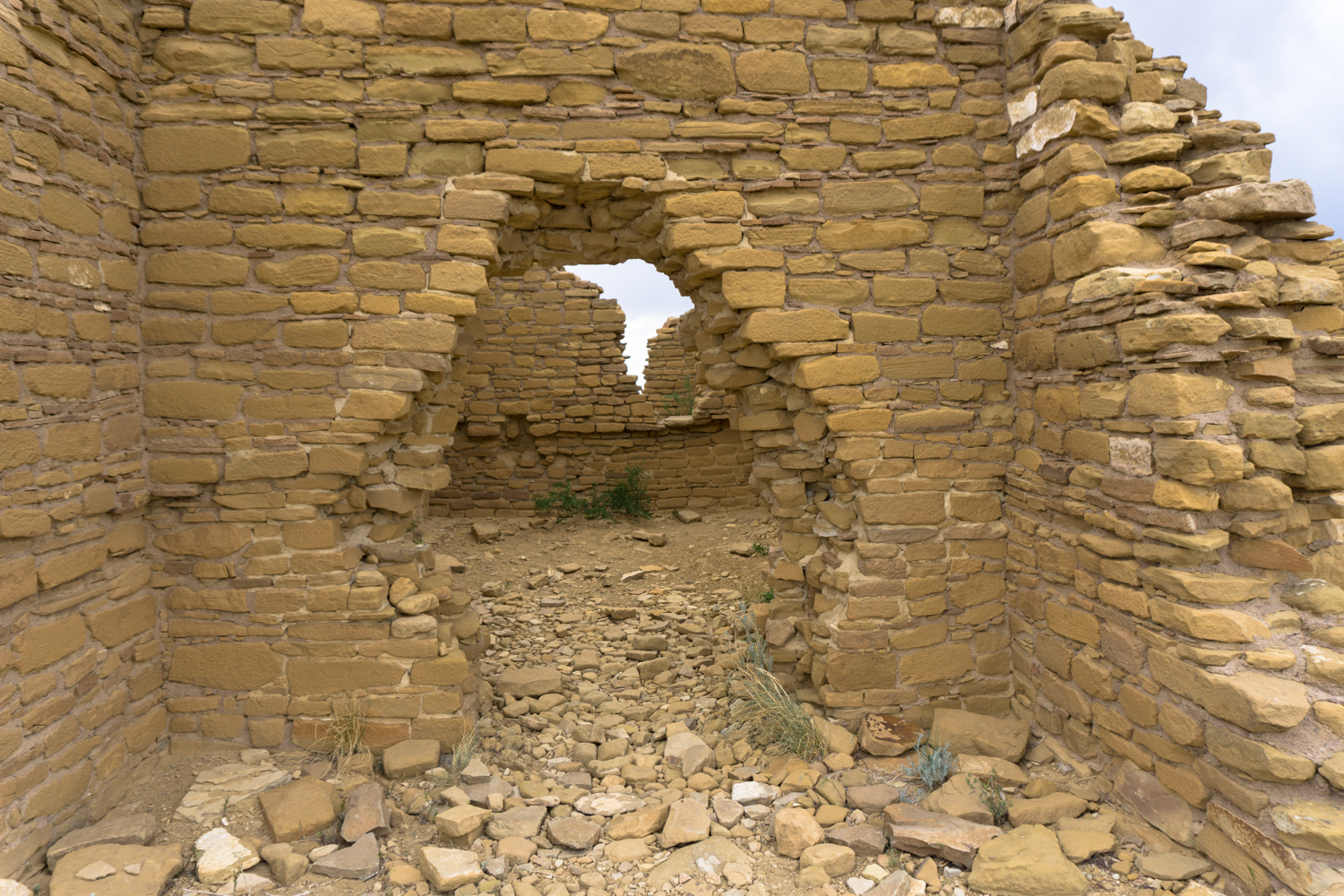
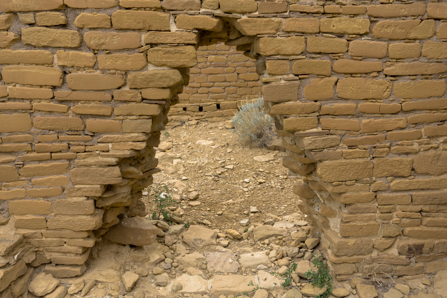
The path passes next to the Klin Kletso (Navajo for “yellow house”) great house, which was a medium-sized pueblo, containing five kivas, about 65 rooms, and most likely housed only two families of permanent residents. The area was likely a site for obsidian production, and features many beautiful passageways and windows to check out as you pass by at the 0.3 mile mark.

Just to the north of Kin Kletso, the trail heads toward a narrow slot canyon that climbs up from the bottom of the canyon floor and up to the top of the first level of the mesa to the north.


As the photos might lead you to believe, this is a rough and rugged section of the trail that will require a bit of scrambling on your part. There are steep drop-offs and narrow sections, but nothing too technical. If you take it slowly and aren’t afraid of getting your hands (and maybe your knees and elbows) dirty, you shouldn’t have too tough of a time here.
The Chacoans used this same exact route when they lived in or visited this canyon, too — you’ll see some evidence of other methods they had for dealing with the steep terrain … and once you do, you’ll realize this rough little route was actually once of the easiest to maintain and use!
Once you make it up this steep section, you’ll find yourself atop the lower mesa heading back east toward Pueblo Bonito.

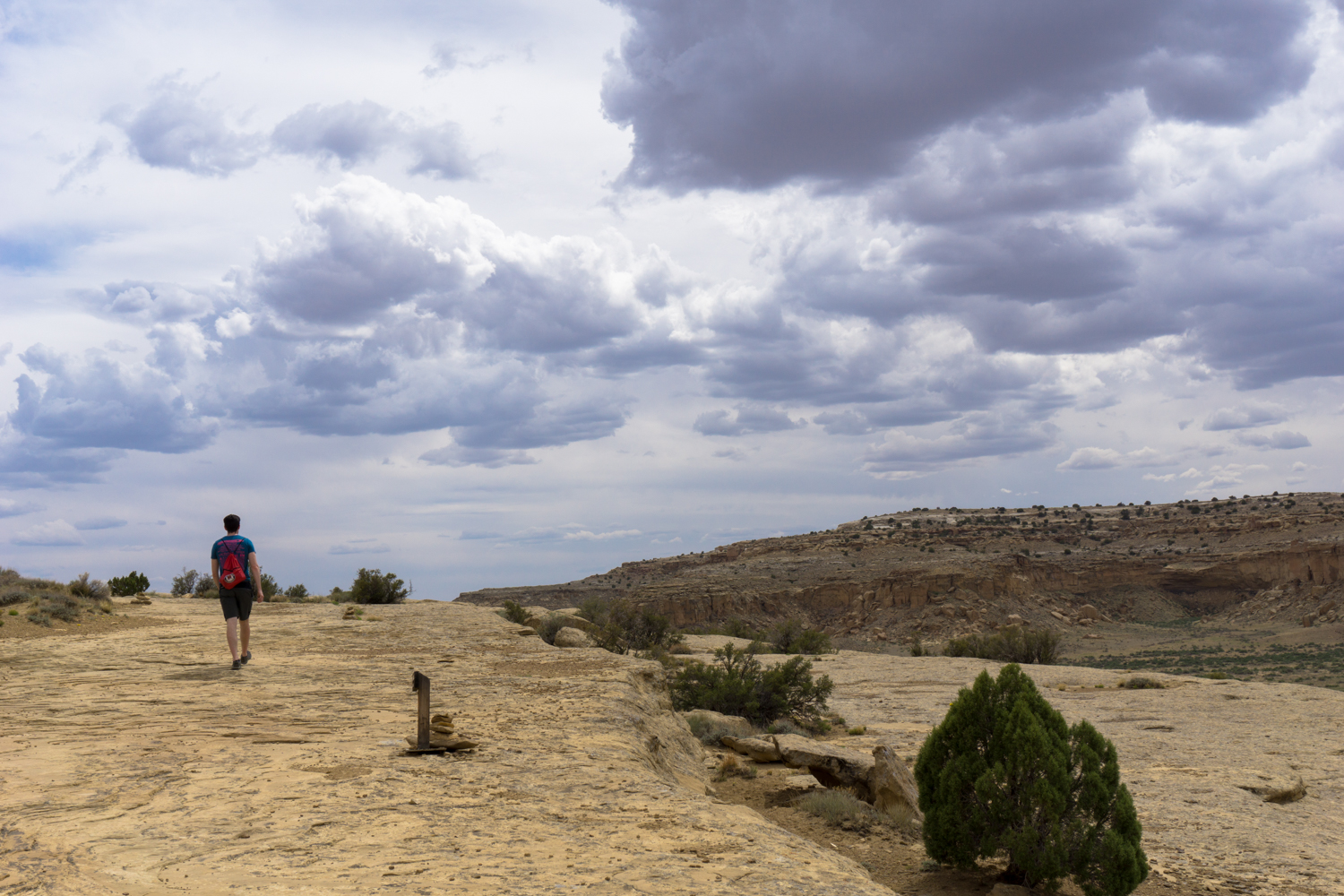
In this section of the trail, you’ll need to keep your eye out for cairns — small rock piles that mark the trail on surfaces like these mesas where a more defined trail can’t actually be dug into the ground itself. The cairns are generally visible but because they are made from the nearby rocks, they do have a tendency to blend into the landscape. If you’re not used to hiking on trails like this, you’ll want to stop every once in a while just to make sure you’re at least within eye-shot of a cairn. You’ll also want to take in some of the views, too!
At about the 1 mile mark, keep right at the junction to hike the loop counter-clockwise. But first, take a short side trip along a defined trail to a viewpoint just on the canyon rim, where you’ll have a stunning viewpoint of Pueblo Bonito.

It can be tough to get a full appreciation for just how spectacular this architecture is when you’re walking inside of it — but with this slightly aerial view you can really appreciate the phenomenal amount of work it took to build and maintain these special places — and how incredible they must have seemed to pilgrims traveling hundreds of miles across the desert to arrive here.

Chetro Ketl from above
Continue east on the canyon rim, taking in the pueblos and the canyon below you as you hike.
At 1.7 miles, the trail follows the rim as a section of the canyon bends to the north. There are two interesting Chacoan features to pay attention to here: First, at about the 1.9 mile mark when the trail bends back toward the south, you’ll be hiking on a remnant of one of the ancient Chacoan Roads.

You kind of have to know what you’re looking for to spot these roads, but they are all over the region in an elaborate and highly planned system that connected pueblos, settlements, and other major sites. There is evidence that these roads were symbolic connections to the pueblos in Chaco Canyon and held an important spiritual significance to the Ancestral Puebloans in addition to being used for travel and trade.
Chacoan roads were surveyed and planned, and were always 30 feet wide with rock or masonry borders, generally traveling in straight lines even when they terrain might have suggested an easier route. Keen eyes can spot the scars of these straight lined roads for miles in the landscape — and many of them still have evidence of the masonry / rock borders on them, too.
A more easily visible remnant of the Chacaon roads can be seen on the east side of the canyon rim here. I mentioned earlier that Chacoan roads had an unusual disregard for geography, and if you look back toward the head of the canyon you can see the ruins of a massive ramp that connected the road (still 30-feet wide with masonry borders) on the canyon rim to a road on the canyon floor below.

Although this route would have been much easier to travel than climbing up the narrow footpath you took, it’s kind of impossible to look upon something like this without marveling at the massive amount of planning and manpower required to build it, maintain it, and keep it aligned with a region-wide system of roads.
At about 2.3 miles, the trail makes its way up to a higher layer of mesa. You’ll need to do a bit more scrambling here, too, but nothing as tough as the first round near the trailhead.

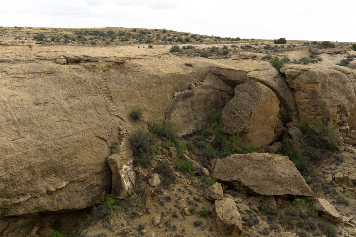
As you make your way north, keep your eyes pointed toward the northern end of the box canyon and eventually you’ll make out the remains of the Jackson Stairway:

Carved into the canyon wall, you’ll make out a long series of stone steps and handholds that the Chacoans used to travel between the floor and the rim of the mesa. It’s the best remaining example of such a stairway in the Chaco Canyon area and it connected the region to great houses and settlements to the northeast. Despite its ancient history, it’s named for William Henry Jackson, who came upon the staircase in 1877 as part of the Hayden Survey for the U.S. Geological Society, which was then taking on the herculean task of mapping the entire American West.
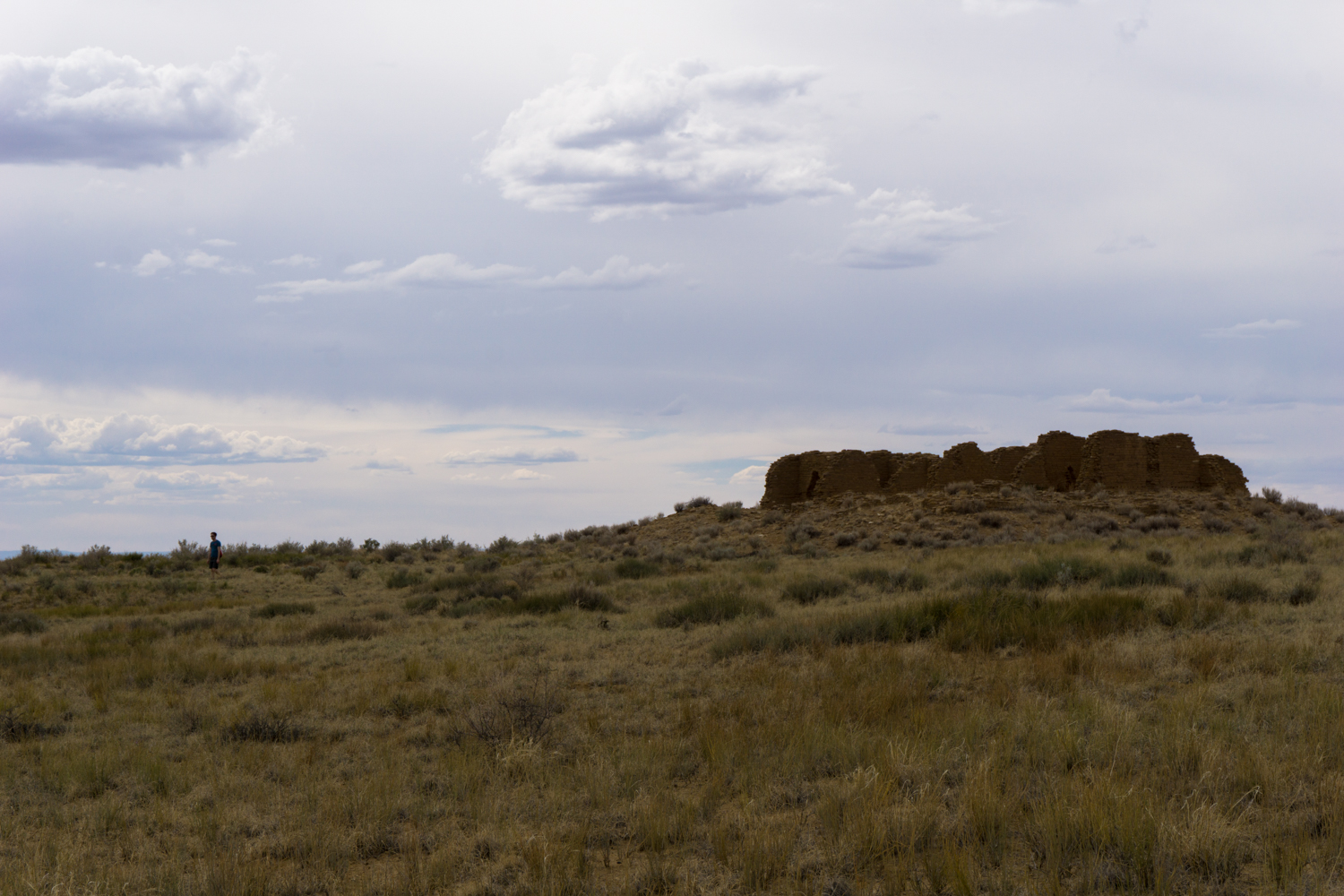
After this, the trail hugs the rim of the canyon for a bit further, then makes a beeline across the mesa to Pueblo Alto, which you should be able to make out in the distance as you approach.


Pueblo Alto consists of four ruins — Pueblo Alto, which is the largest and only excavated ruin; East Ruin, New Alto to the west, and Rabbit Run to the north. Pueblo Alto was built around the same time as Chetro Ketl and is unusual in that it only has one story but that story has much higher ceilings than the other Chacoan great houses.
Evidence suggests Pueblo Alto had a very small resident population but a commanding place on the landscape.

From here, high up on the mesa, the view stretches for hundreds of miles in every direction to numerous sacred peaks and sites. Researchers have hypothesized that the Chacoans used these prominent landmarks to signal messages with fire and reflective rock, and could effectively communicate with settlements at Mesa Verde and Chimney Rock in Colorado in a matter of moments. Several Chacoan roads also intersect here, including one known as the Great North Road, which is aligned within one degree of true north.
Explore these sites carefully, and don’t touch any of the masonry — they have been stabilized in some areas but not fully excavated.

When you’re done, head south on the trail and keep right at the junction at 4.7 miles to close the loop. Return back to the trailhead the way you came in.
Notes on Chaco Culture National Historical Park
Getting There:
Depending on the time of year you visit and the direction you’re traveling from, the roads to Chaco Canyon National Historical Park may be rough and bumpy or completely impassable. Generally, the road from the north (from US-550) seems to be the most reliable. Despite some fearful postings on travel forums, in good conditions that route is no more difficult than driving on washboard dirt roads. In poor conditions, though, it may be completely closed or impassable for low-clearance cars.
The Park Service has noted that automatic GPS directions in this region are pretty much useless, so they strongly recommend following their written directions and checking with the rangers before you head out to see if there are any updated conditions or hazards you should know about.
Inside the Park:
Chaco Canyon hosts extensive remains of the most important site to one of the largest and most complex societies in North America — one that researchers still don’t know that much about. In addition to being an important historical site, the region remains an important modern day cultural site for many of the tribes that descended from the Ancestral Puebloans or lived in the region after they left it. All items in the park are protected — do not take anything you find here and do not touch existing masonry as the oils from your hands may increase erosion or damage. Treat the landscape and the ruins with respect and reverence.
Tags: Ancestral Puebloans, chaco canyon, pueblo alto, ruins


