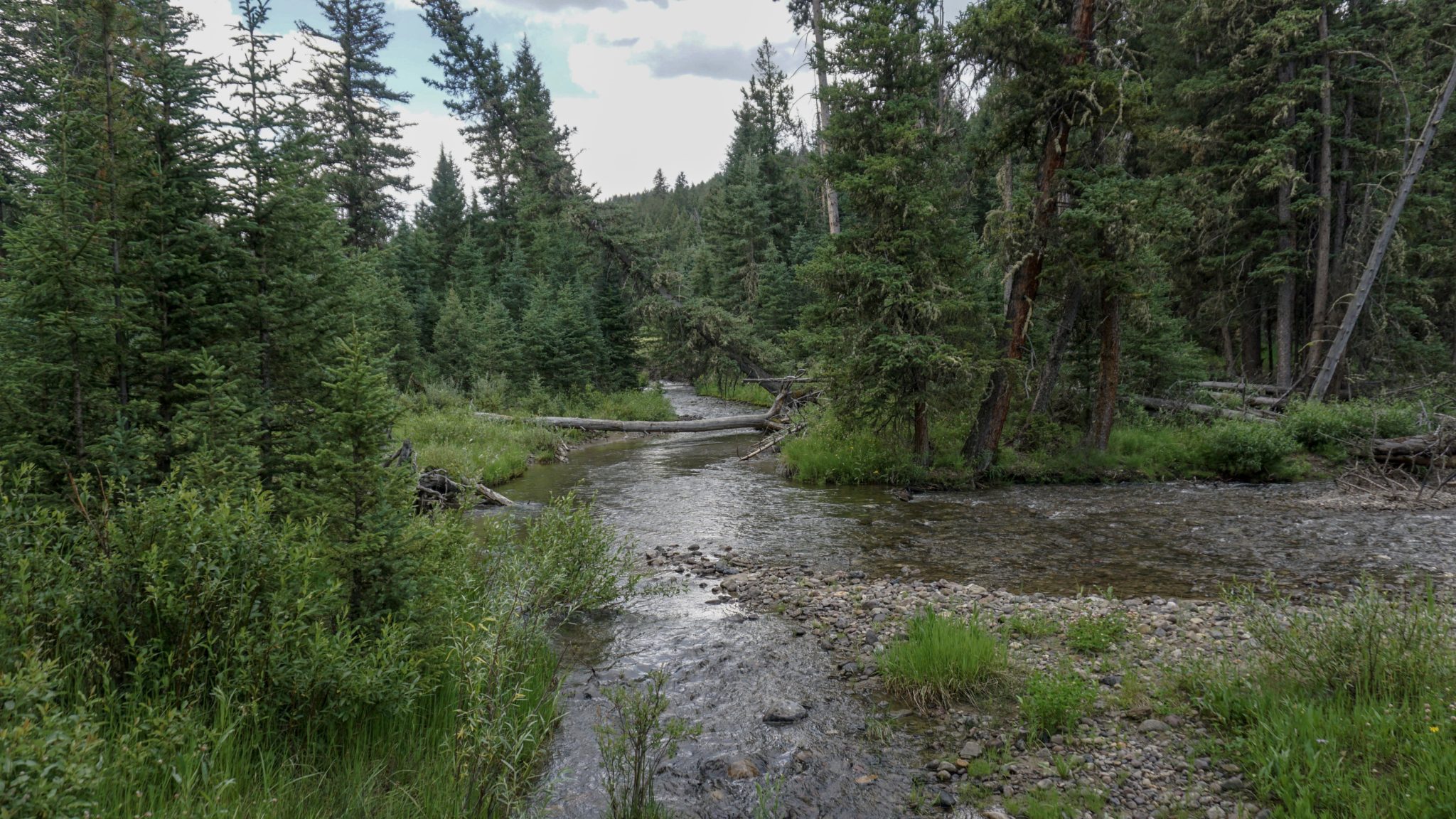
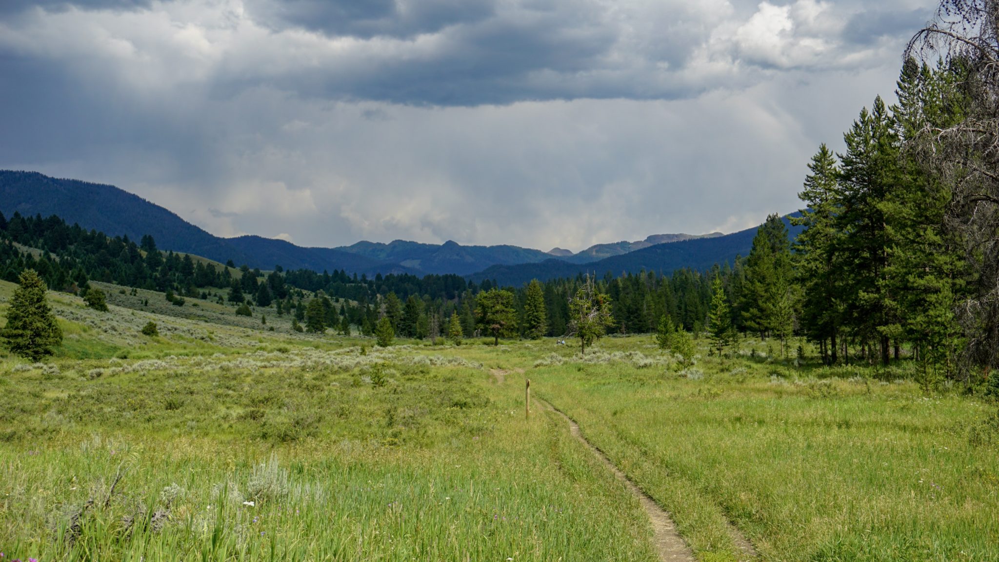
The Porcupine Creek Trail penetrates a beautiful landscape of rolling hills, dense woods of lodgepole pine, aspen, and spruce, and rumbling creeks all framed by the spacious Montana sky and the rugged peaks of the towering peaks of western Gallatin National Forest in the Greater Yellowstone Region. This route serves as a popular backcountry portal, but dayhikers can enjoy an easy lollipop loop that takes in the beautiful scenery surrounding lower Porcupine Creek.

Although this route is easy enough for kids, a few cautions do apply. This is bear country, which includes both black bears and grizzly bears. Your odds of seeing bears are reduced if you hike later in the day, and your best deterrent against aggressive bears should you have an encounter is bear spray. Hike with a group if you feel unsure about our ursine friends, as the noise you make will give bears plenty of warning that you’re coming.

Also, a few spots along the return route of this trail hug the creek on sandy treads next to steep slopes. The drops aren’t too exaggerated, but a tumble would be enough to do some damage. If you’re hiking with kids, either keep them close or return via the main trail.

To begin, follow the unpaved road from the Porcupine Creek trailhead east past an old cabin. The trail passes through pleasant spruce and pine forest, while the nearby rumble of Porcupine Creek adds its multi-timbre music in accompaniment. After 0.2 mile, the trail leaves the tree cover and settles into a gentle ascent along a sunny, grassy slope dotted here and there with limber pines. The trail parallels Porcupine Creek in this fashion until the 0.8 mile mark, at which point you will turn right to head south toward a crossing. The left fork of this junction is your return route.

Cross the creek via a wooden bridge and continue paralleling the creek, this time on its southern banks. A quick set of switchbacks heralds a moderately steep climb along a wooded ridge that tops out about 100 feet above the creek. The views east from this sunny, open ridge are classic Montana, with broad, grassy valleys yielding to a wall of forested peaks set against a bright blue sky or perhaps even the ominous gray of cumulonimbus storm clouds.

The trail next makes a sharp descent to a junction with a trail that continues along Porcupine Creek toward Onion Basin. Keep left here and follow the trail that approaches the creek. Cross over the creek at an unimproved crossing, and continue paralleling it for another 0.1 mile until you reach a junction. Make a hard left at this junction and double back on a narrow, informal trail that will follow the northern bank of Porcupine Creek back to the junction you first reached at 0.8 mile.

Once on the northern banks, the trail traverses a sunny slope blanketed with grasses, wildlfowers, and sagebrush punctuated by the occasional conifer. The view north toward Levinski Ridge is particularly good from this side of the creek, and you’ll also have nice views west toward the towering, solitary figure of Lone Mountain beyond the town of Big Sky.

At a few points when the trail crosses tributary streams feeding Porcupine Creek, you will find some of the less durable sections of trail that may have awkward footing. Otherwise, keep to the narrow trail until it rejoins the Porcupine Creek Trail at 2.7 miles. From here, retrace your steps back to the parking area to conclude the hike.

Tags: Big Sky, Gallatin National Forest, Gallatin River, Montana, Porcupine Creek


