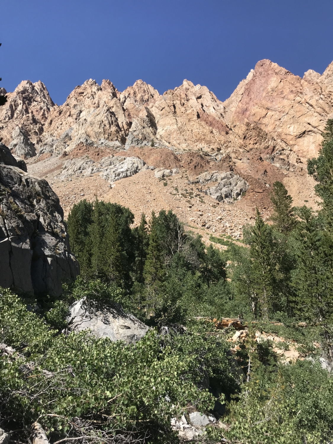
The trail up and over Piute Pass is a haven for fishermen, mountaineers, and high altitude hiking addicts seeking a little solitude. Only 18 overnight permits are issued for the trailhead each day, and there are well over 15 alpine lakes in the area to explore. The rusty, saber-toothed crags of Emerson Peak tower over the first section of trail as breathless hikers climb towards Piute Lake, while a massive Mount Humphreys stands watchful over the barren alpine meadows once you’re up and over the pass. It’s an alpine wonderland ripe for exploration.
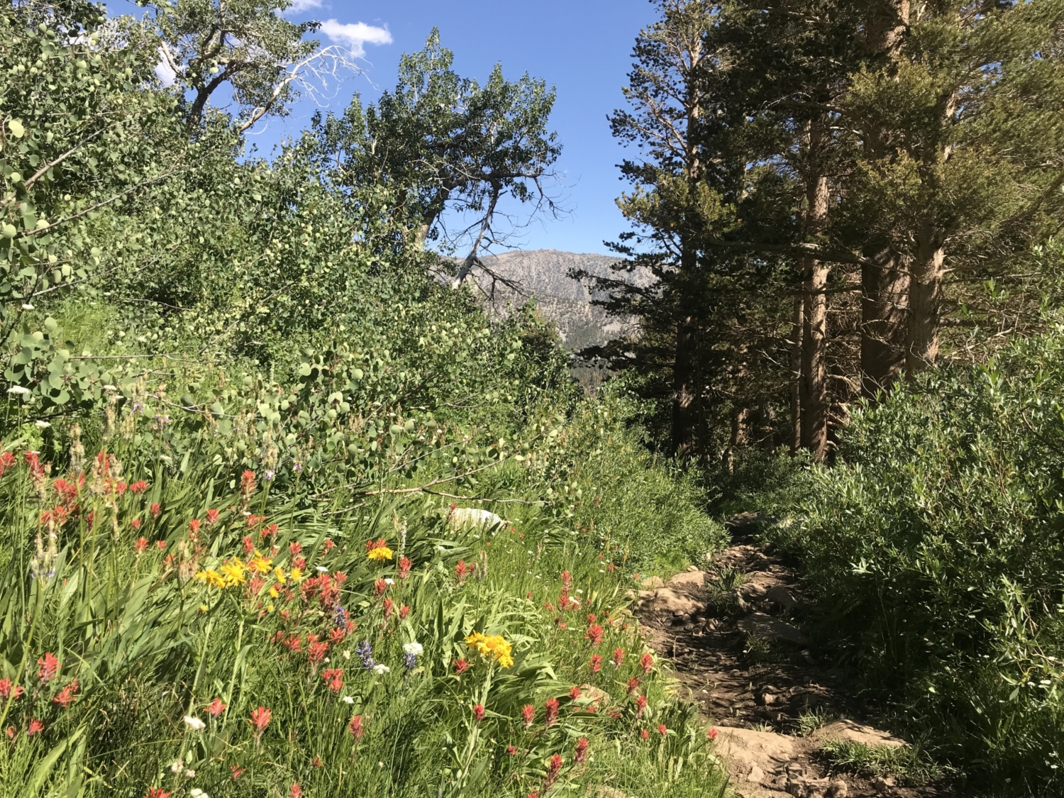
Because of the relatively high elevation of the trailhead (9,370 feet) and Piute Pass itself (11,417 feet), we highly suggest taking your time on this trail and considering nabbing a permit to hike it as an overnight. That way, you can take your time craning your neck to get an epic view of Mt. Emerson or photographing the array of colorful alpine wildflowers that bloom here in July and August.
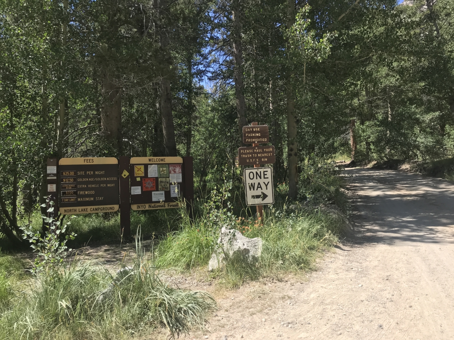
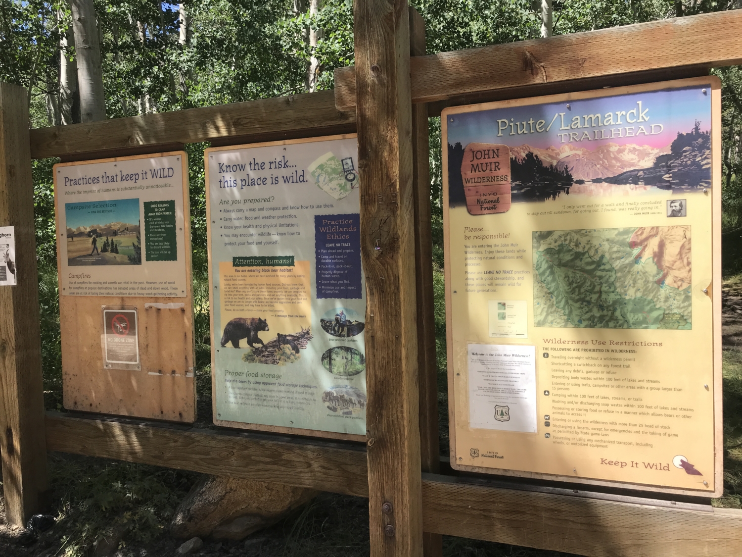
Permits are available via Inyo National Forest and cost $6 plus $5 per person if you reserve online. Campfires aren’t allowed between the trailhead and Piute Pass or above 10,000 feet anywhere in Humphreys Basin, so bring a backpacking stove to cook with. You’ll also want to pack a bear-resistant container to store your food in. Pick up your permit the day before or morning of your trip at either the Mammoth Lakes Welcome Center or the Eastern Sierra Interagency Visitor Center, lace up your boots, and get ready to hike!
It’s also worth noting that in summer months, mosquitoes can be horrendous in this area. Bring a head net, bug spray, and an endless supply of patience if you’re hiking here on a warm day. The bugs may be intense, but trust us; the killer views are worth it.
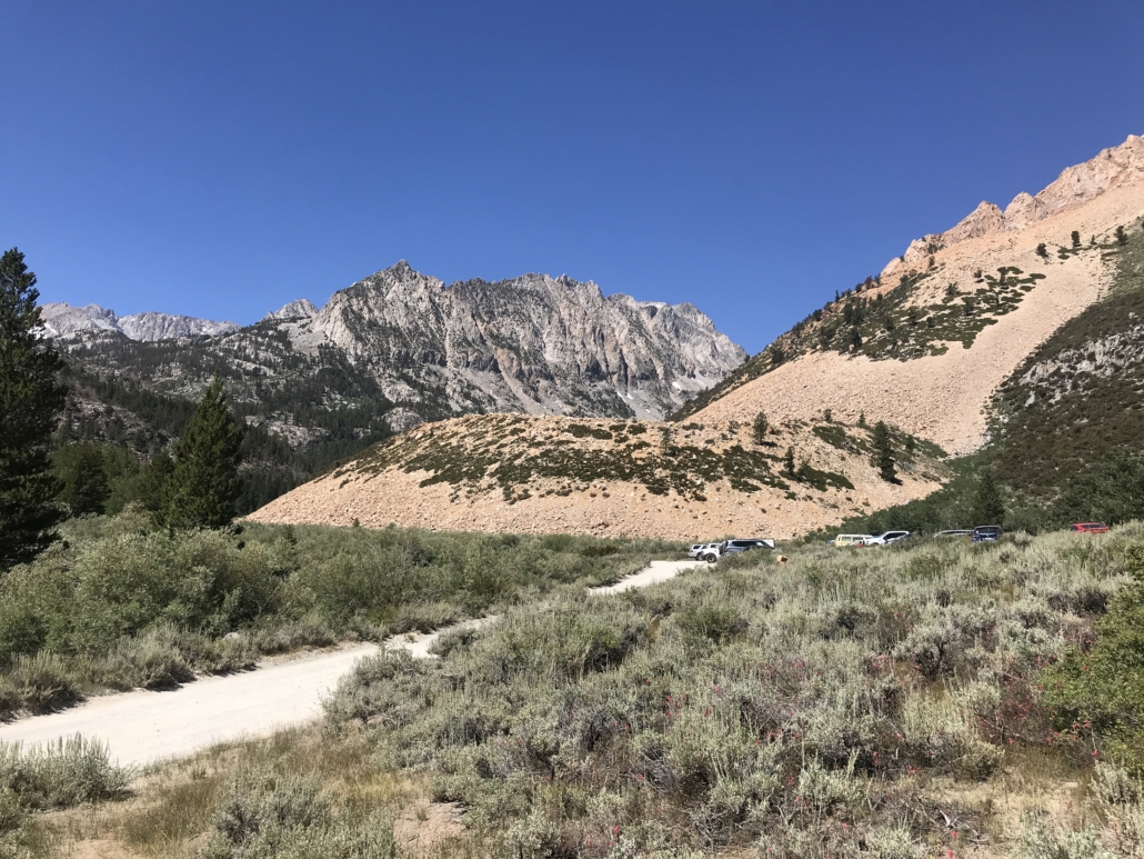
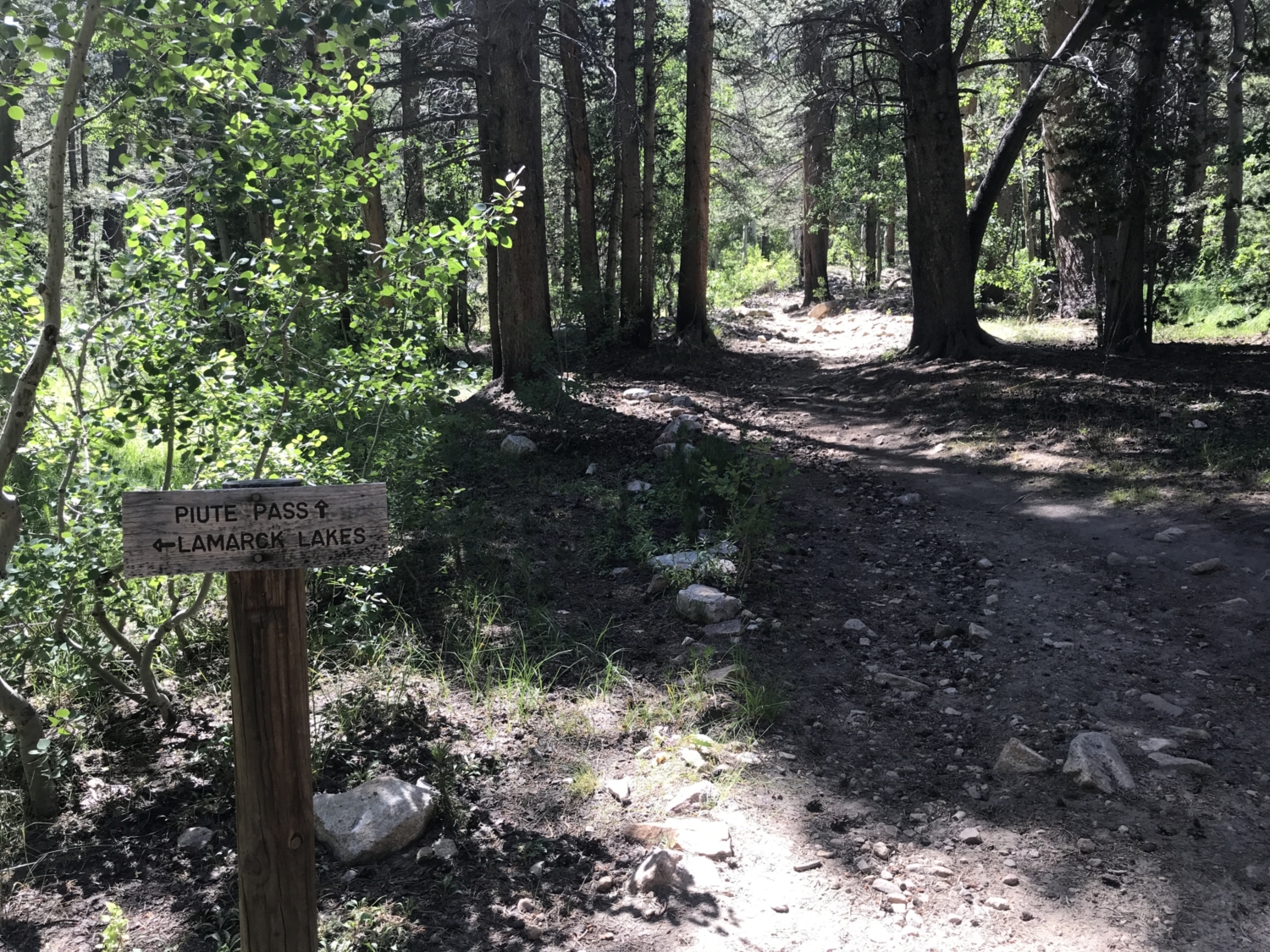
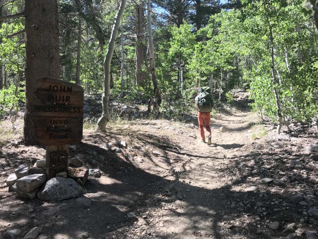
Begin by parking your car just above North Lake, where a large parking lot, vault toilet, and pack station all sit. Then, hike .4 miles down the dusty road, passing through North Lake Campground to get to the trailhead proper. From here, it’s a well-graded ascent through lodgepole pine and quaking aspen as you follow a burbling creek under Piute Crags, Mount Emerson, and Mount Thoreau.
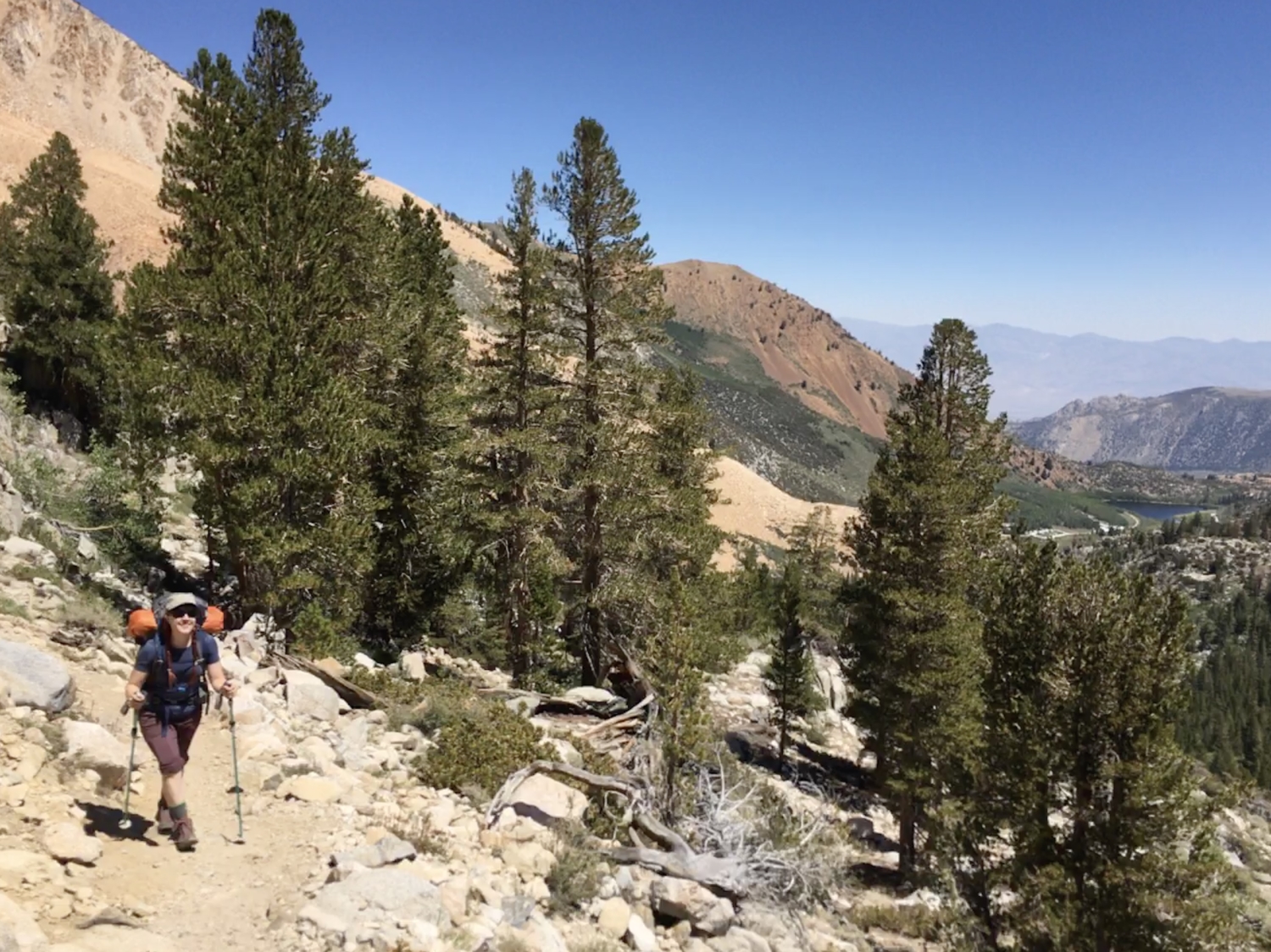
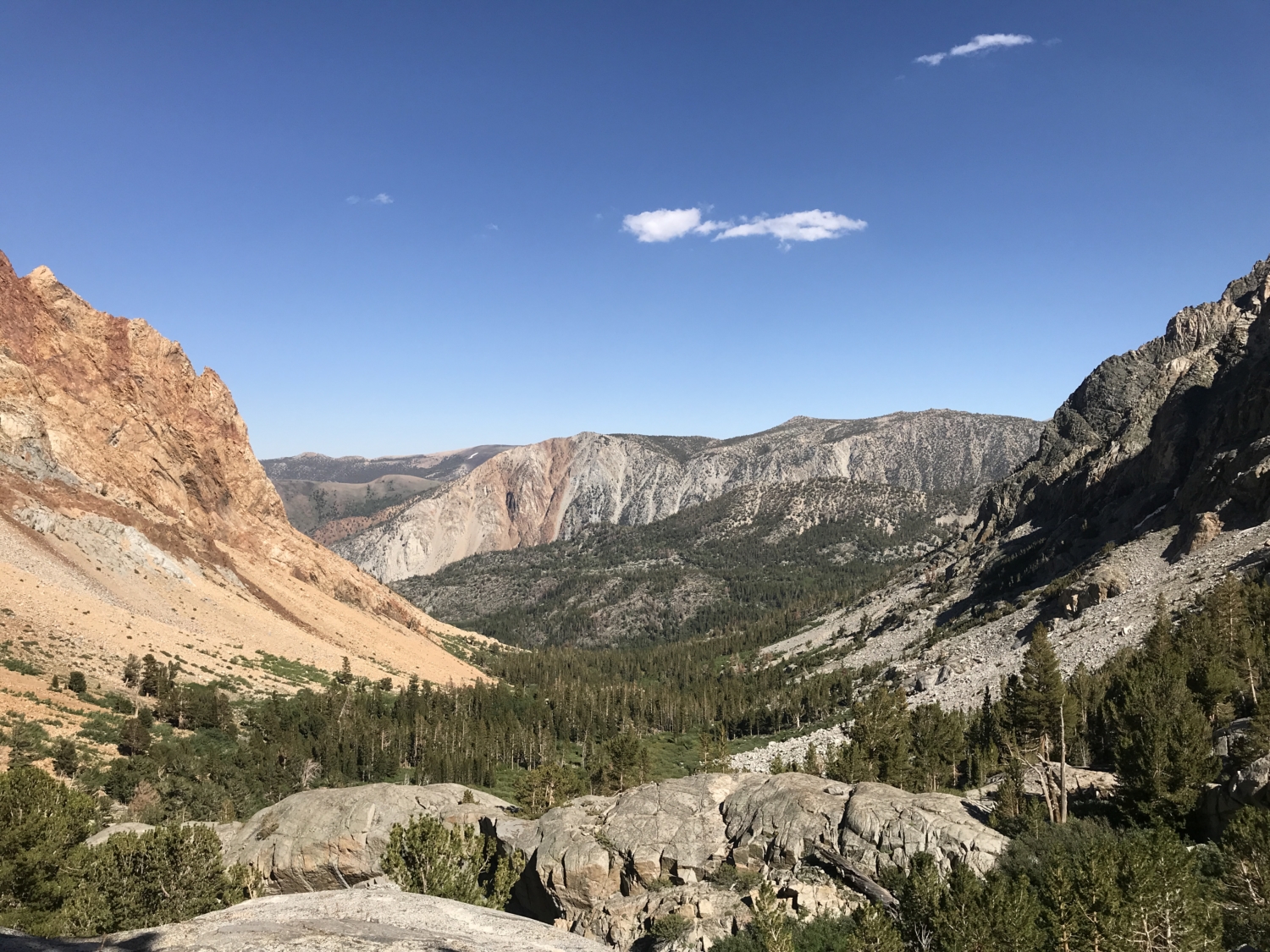
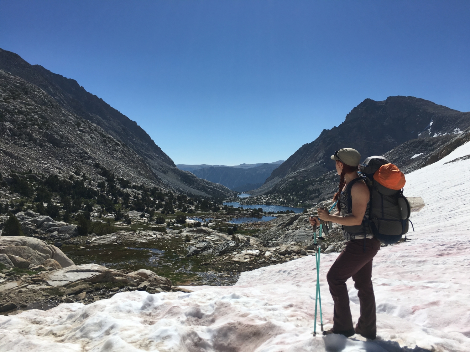
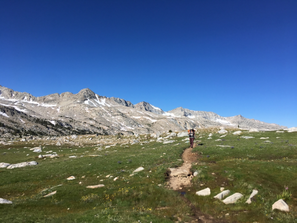
Keep your eyes peeled, as a few, small waterfalls lie just beyond the trees to your left while you climb up, up, up towards Piute Pass. There are a few easy creek crossings, one of which will test your balance on a large, sturdy log. Make sure you’re drinking enough water, because after the first couple of miles, this trail exits the dense tree line and can be incredibly hot and exposed on a sunny day. If you’re ever feeling out of breath on the ascent, remember that you’re at altitude! Take a little break to rest, turn around, and enjoy the panoramic view of the valley below.
The first lake you’ll hit along the trail is Loch Leven, which may or may not be home to the Sierra Nevada’s own Lochness monster. Jury’s out. It marks the end of the steepest part of the ascent, so kiss those steep, granite stairs goodbye and get ready to traverse some seriously gorgeous alpine lakes. Stop for a swim, have a snack, and enjoy the scenery. It may sound impossible to believe, but the best part is still yet to come.
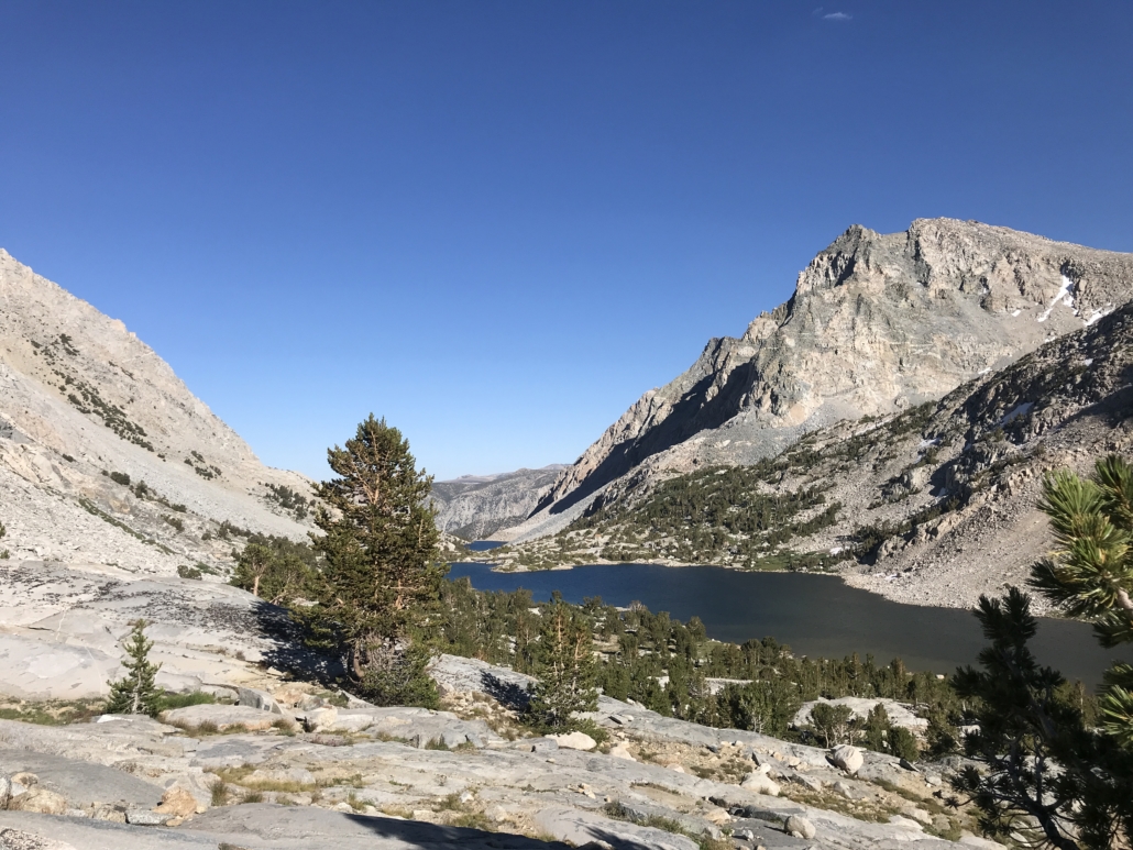
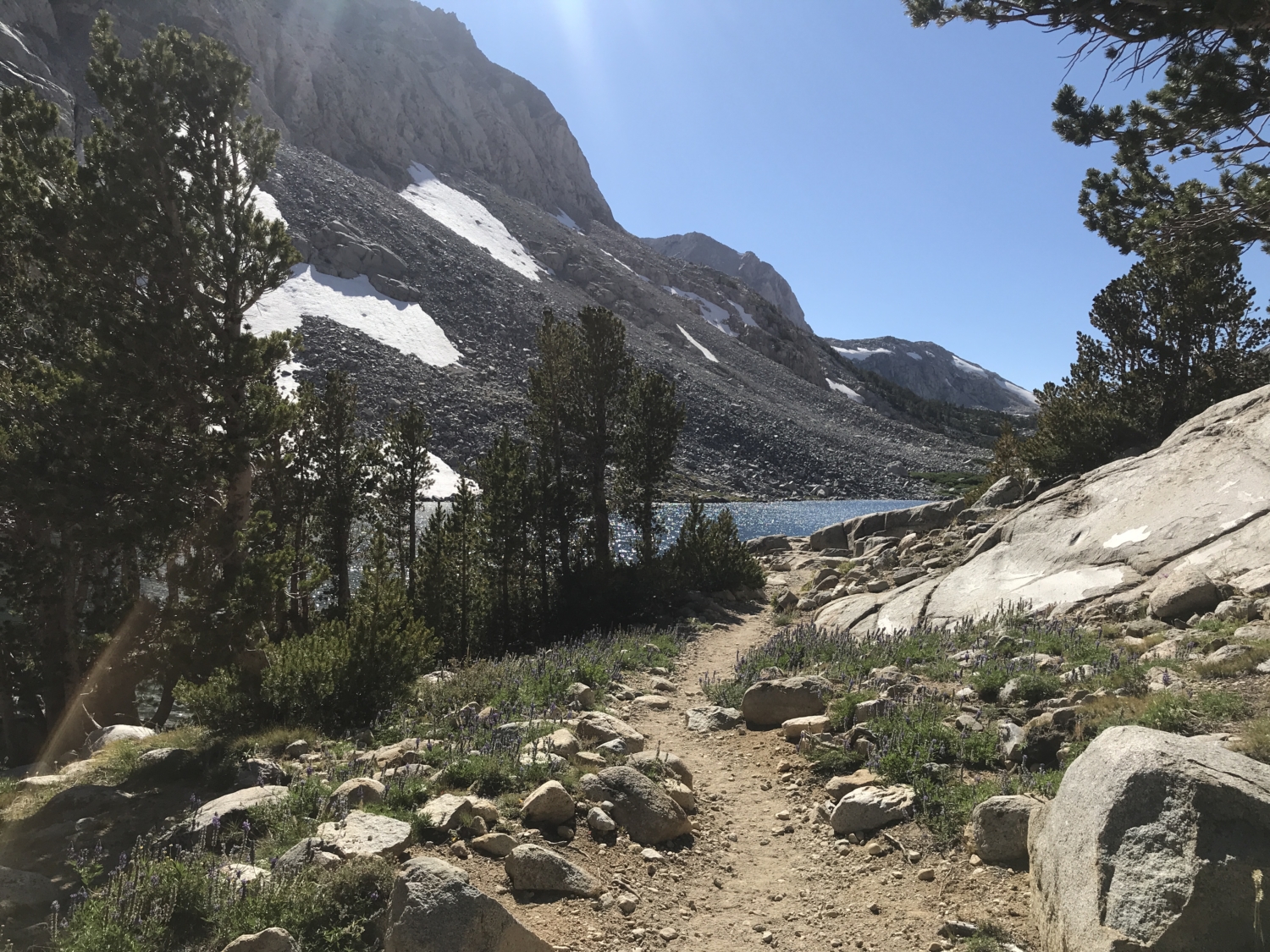
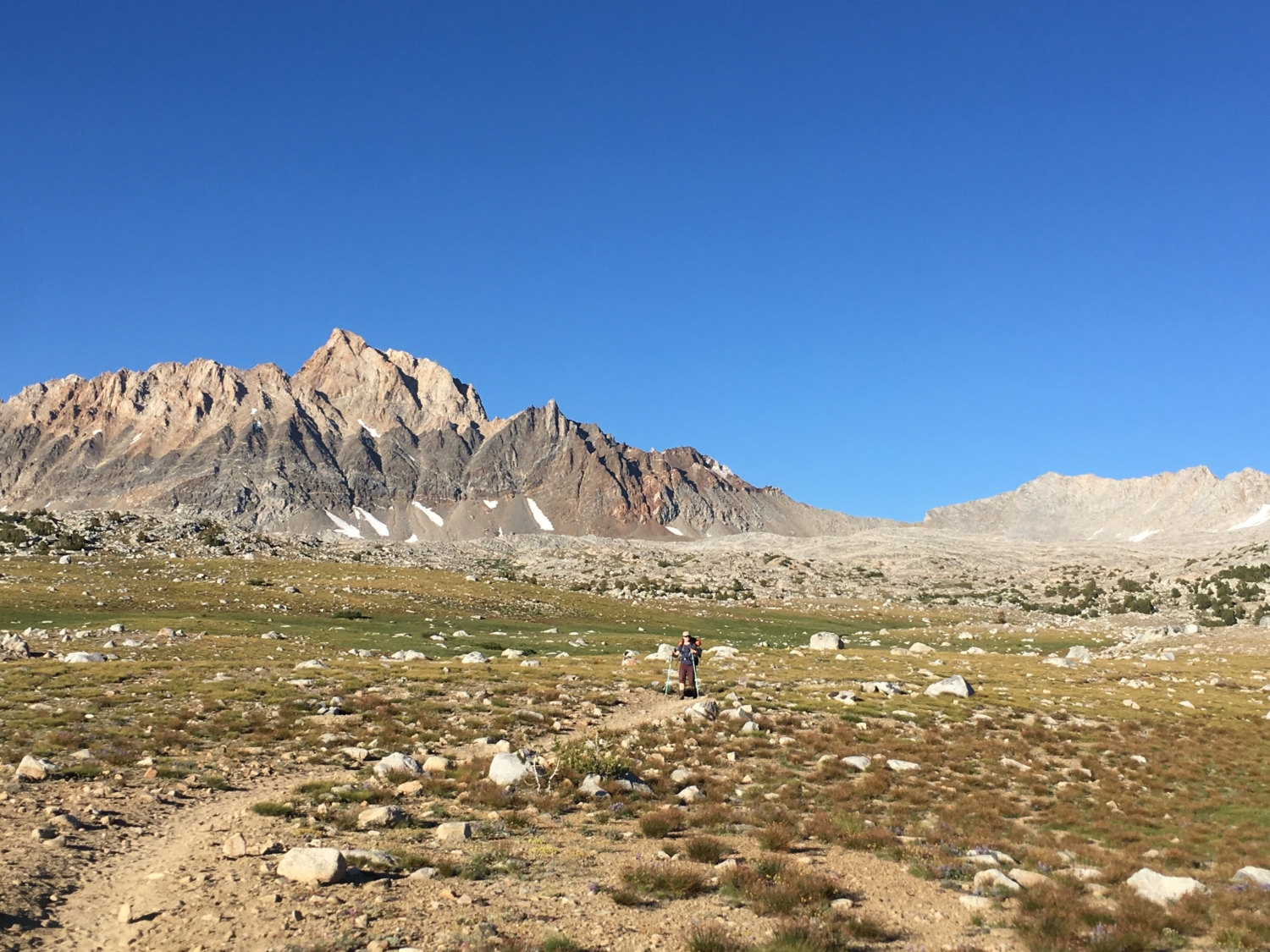
Before you know it, you’ll pass by a few, smaller pools below upper Piute Lake, lined with lush, alpine grasses. Keep your eyes peeled for daredevil climbers descending from a morning climb up Mt. Emerson – I saw four on my trip! From here, there’s nowhere to go but up, but thank goodness the views are pristine, and the trail is well maintained. Slowly trek towards Piute Pass, which may have a small, lingering snowfield well into summer, depending on the year (microspikes not needed in August 2019).
As you round the top of the rocky outcropping marking the pass itself, rejoice! It’s all gently graded downhill from here.
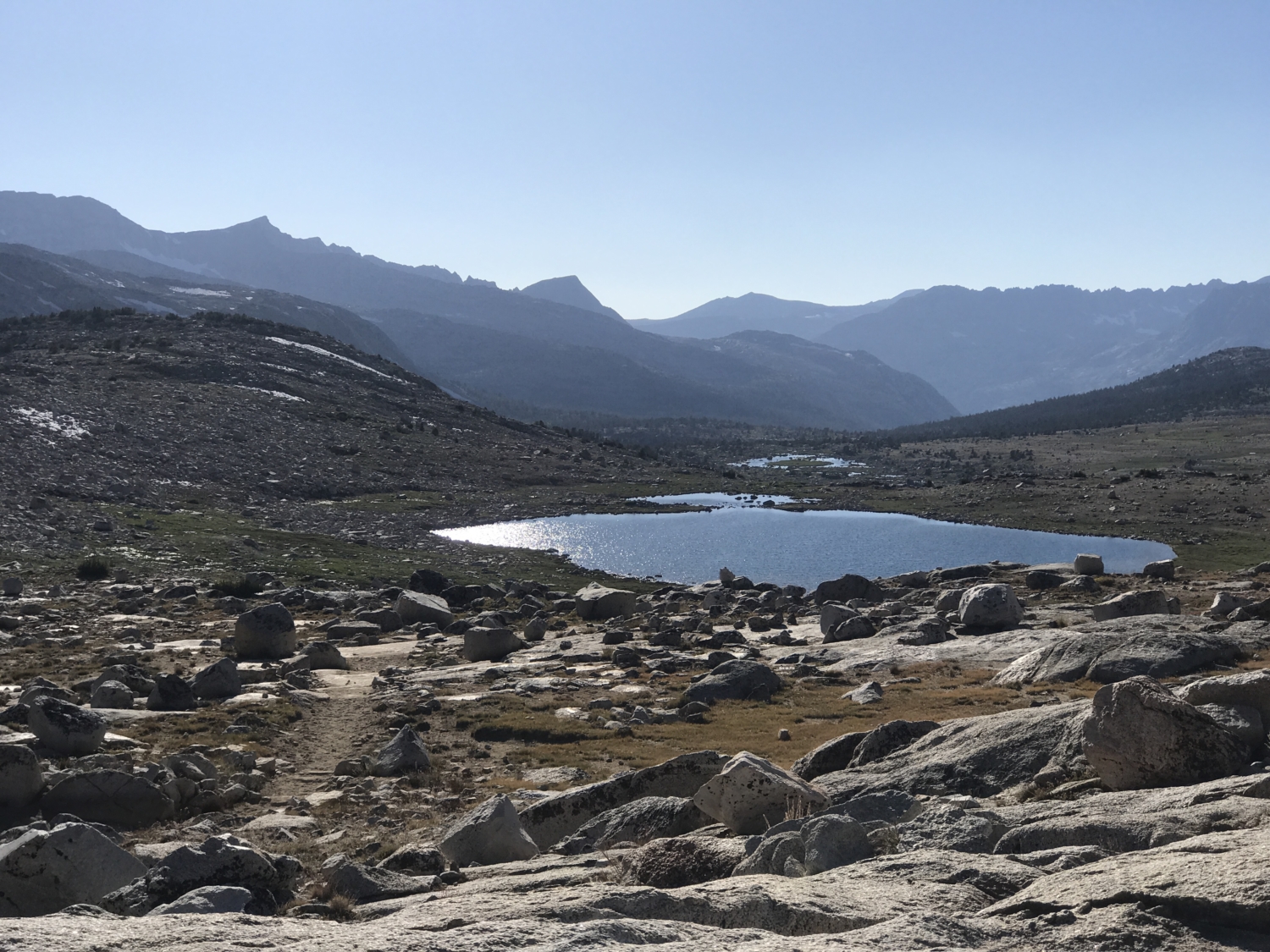
Hikers opting to do this as a multi-day may want to cut a hard left after the pass to check out Muriel Lake. It’s a great, slightly off trail option for those seeking more solitude, nestled under the banner of, you guessed it, Muriel Peak. From the top of the pass, the most notable thing you’ll see below you is the huge sapphire dot of Summit Lake. Head down the trail towards it and pay close attention to veer left at the next, unsigned junction.

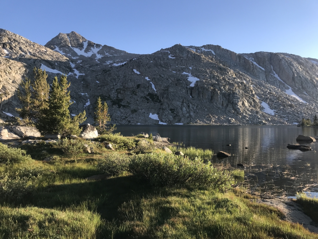
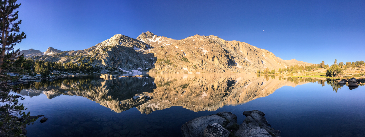
If you miss the junction (like I did), don’t worry! The upper Piute Trail cuts across Humphreys Basin towards Desolation Lake and has an unmaintained spur trail about 2 miles after the pass that you can cut down on. Once you reach the brilliant, blue water of Lower Golden Trout Lake, there’s nothing left to do but drop your pack and go for a dip!

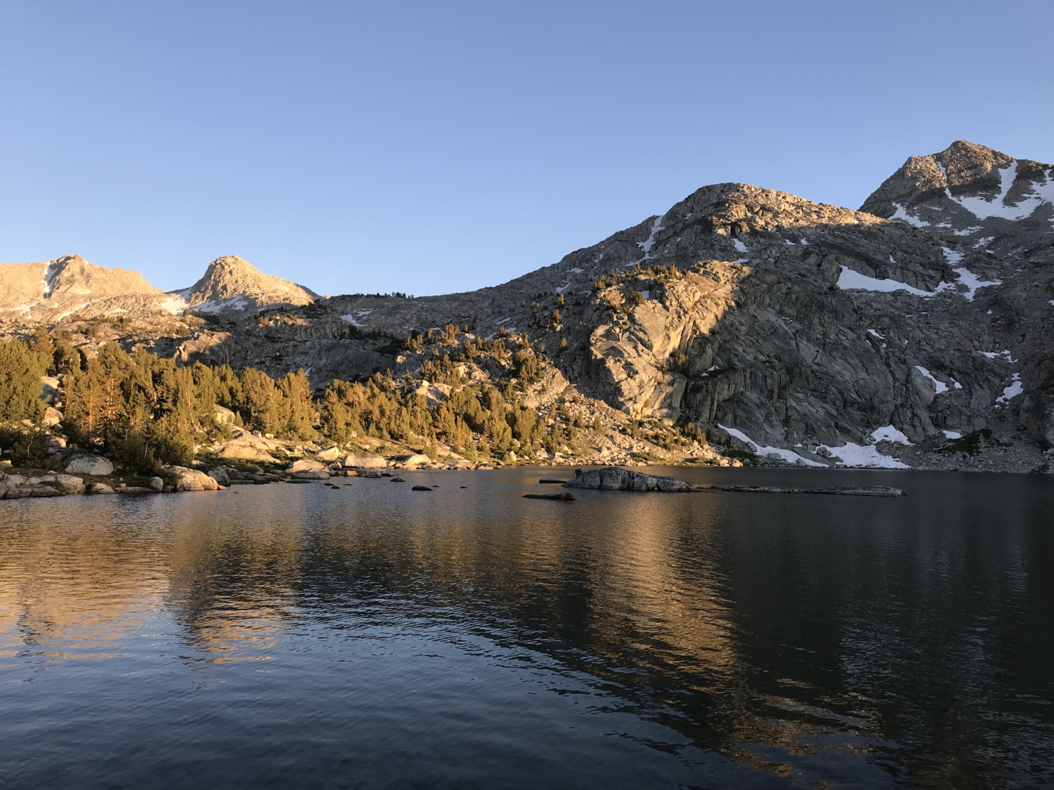
If you’re overnighting it, some choice campsites can be found on the northeastern side of the lake. Sunsets here are a magical phenomenon, with fish literally jumping out of the water to catch the myriad of flies and mosquitoes that hover just above the surface. Meanwhile, Wahoo Peak is bathed in a faded, orange glow as the sun lowers beyond the horizon. It’s quite the dinnertime show!
If you’re lucky enough to have a few days in the area, there are many other lakes to explore! Muriel, Goethe, Packsaddle, and the Desolation Lakes are all excellent options, especially if you’re comfortable with a small amount of off trail travel.
When you’re ready to head back to the car, simply pack up, climb over the pass (the west side of the trail is far less steep!), and retrace your steps.
The Golden Trout Lakes and Humpreys Basin combine to create the perfect blend of everything the High Sierra has to offer – leg-busting trails, solitude, enchanting sunsets, and some of the best alpine scenery in the country.
Tags: alpine lakes, alpine meadow, Backpacking, high sierras, Humphreys Basin, National Forest, Piute Pass, trekking, wildflowers