Pinnacle Peak is a popular hiking trail located within Scottsdale’s Pinnacle Peak Park. This is a very well maintained area that is home to this short, educational and moderate hiking trail. Round trip, out and back is about 3.5 miles and you will gain an elevation just over 500 feet.
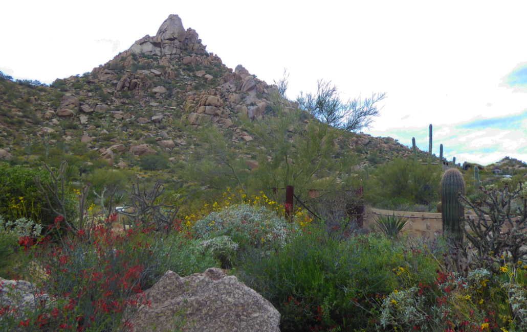
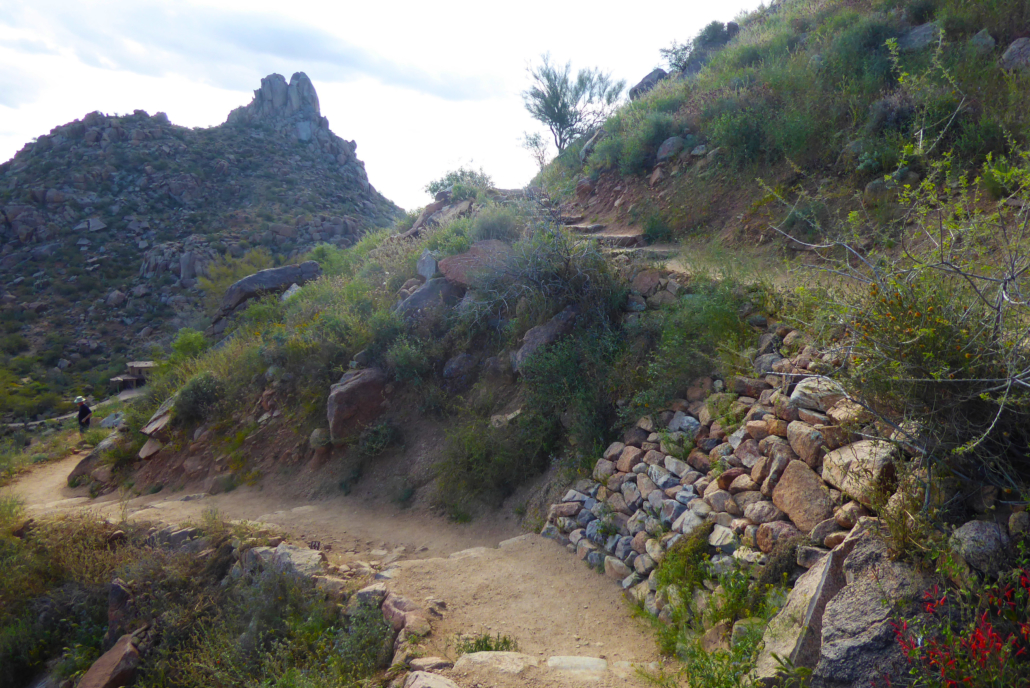
Trailhead to Pinnacle Peak
At the trailhead there are pictures and information about the different types of desert animals you may be lucky enough to find along this trail. There is also a small office located here with workers that are more than happy to answer any questions that you may have. While there are no permanent set office hours, this park and the office typically opens at sunrise and will close an hour before sunset all week, including the weekends.
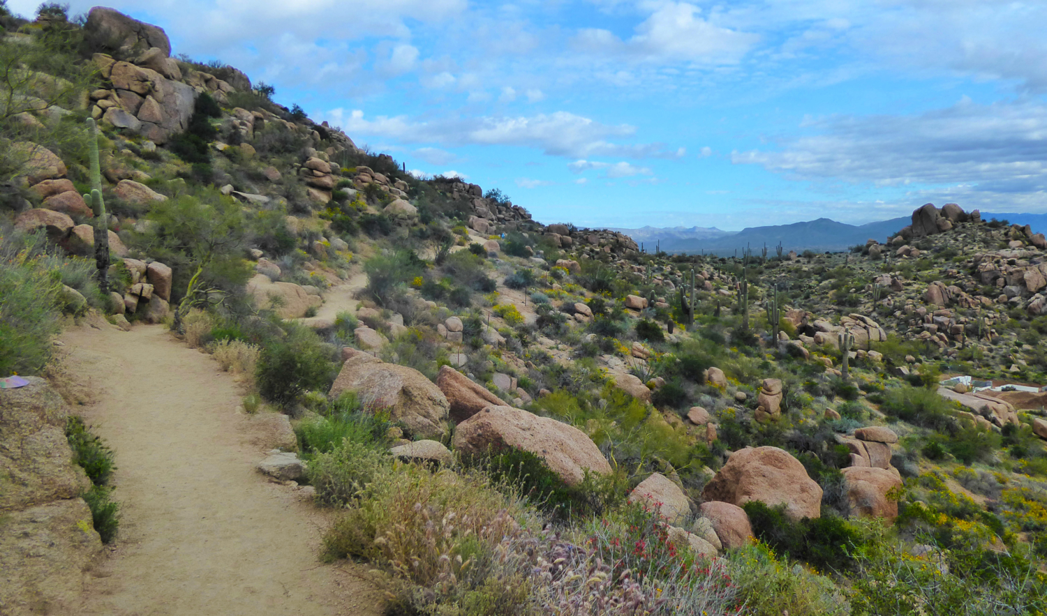
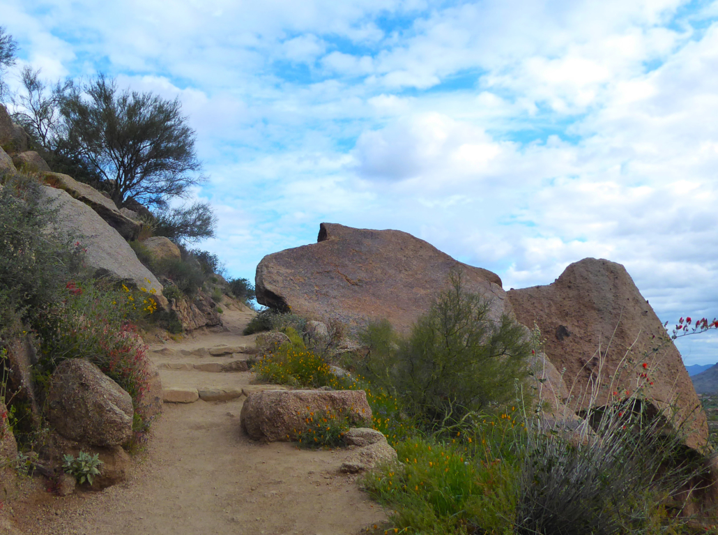
As you step foot onto the trail, you’ll be on a series of short switchbacks that wind their way up to the highest point of this trail.
Along the way you’ll see informational signs pointing out the different types of plants that are found along this trail. One interesting point is that there is a rare Redberry Juniper evergreen tree that is found along this trail.
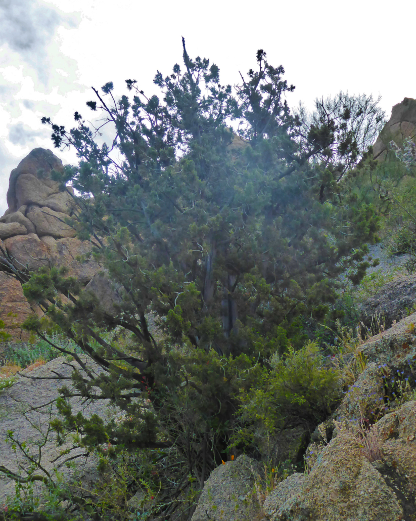
Redberry Juniper – a rare evergreen tree can be spotted along this trail
If it wasn’t for these signs, I think I may have just breezily walked past this tree without realizing how special it was.
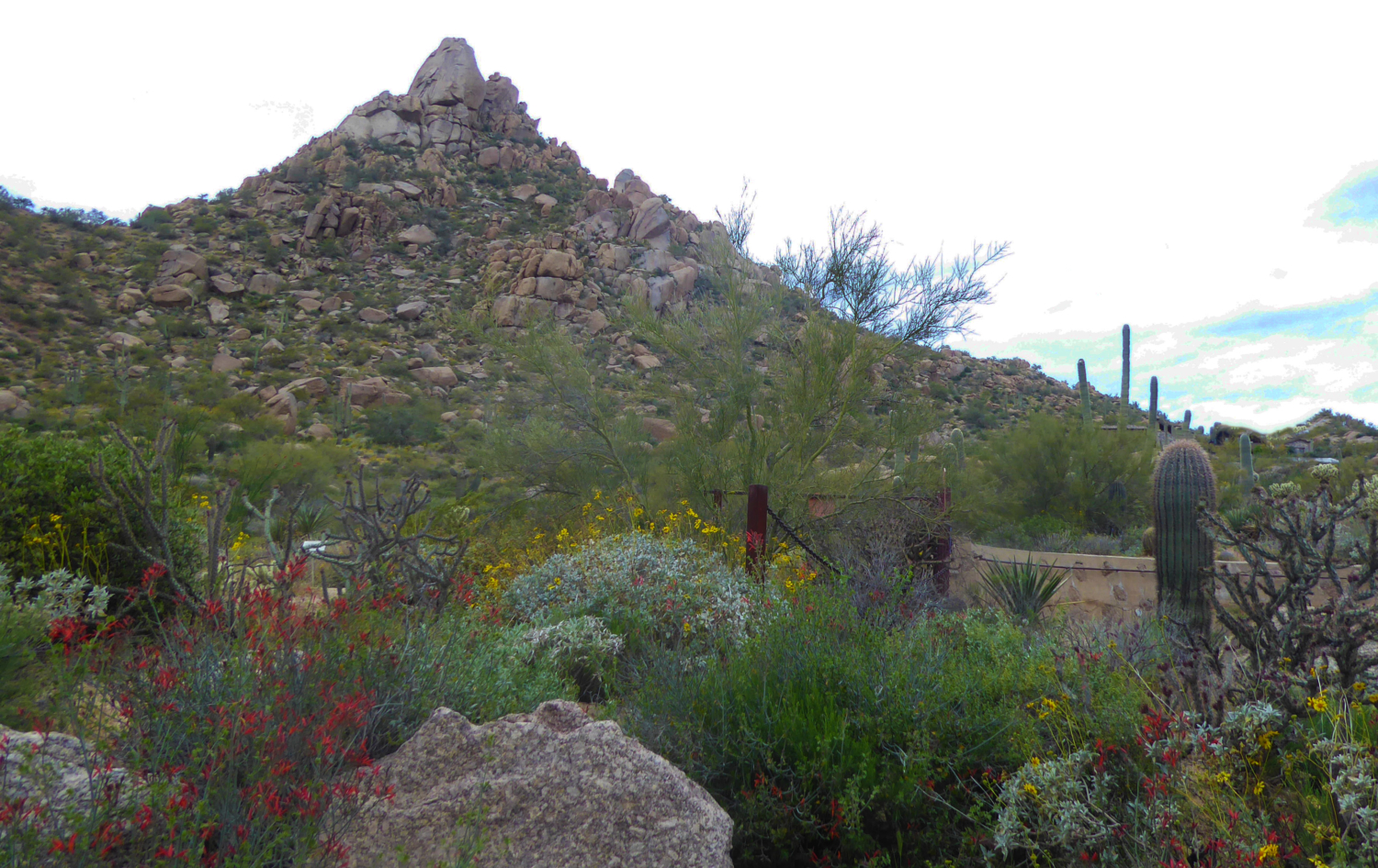
During the wildflower season from about late February to mid April, the vegetation is blooming at peak levels allowing you to really get the full effect of how beautiful the desert landscape is in this area.
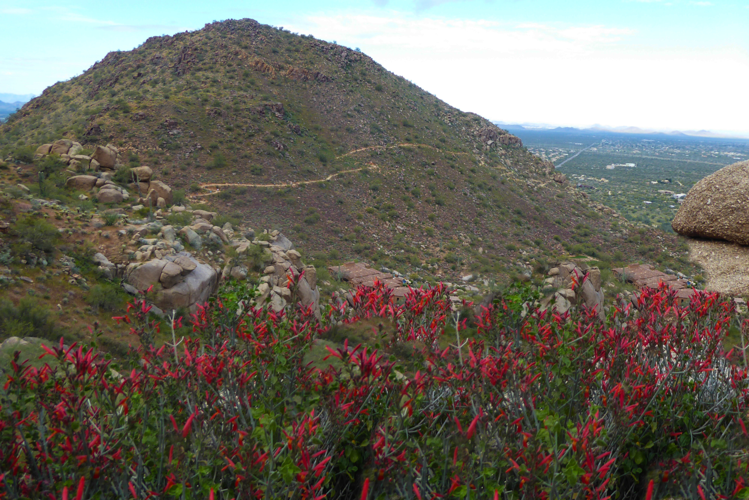
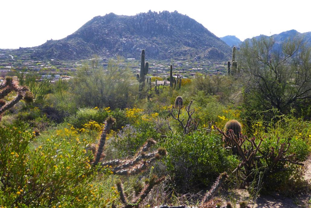
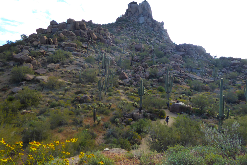
Once at the top there will be a sign informing you that you’re at the highest point of the trail. As you pass this area, the trail begins to take on a new personality. The educational signs fade away and the trail feels a little more mature as you now make your way towards the west end of the trail.

View from highest point of Pinnacle Peak looking out at trail continuing to head West
While the neighborhoods and a golf course are on the outskirts of the trail, you’re able to look out and get a great view of the surrounding mountains. Once at the far western end of this trail, another series of short switchbacks will take you back down this side of the mountain.
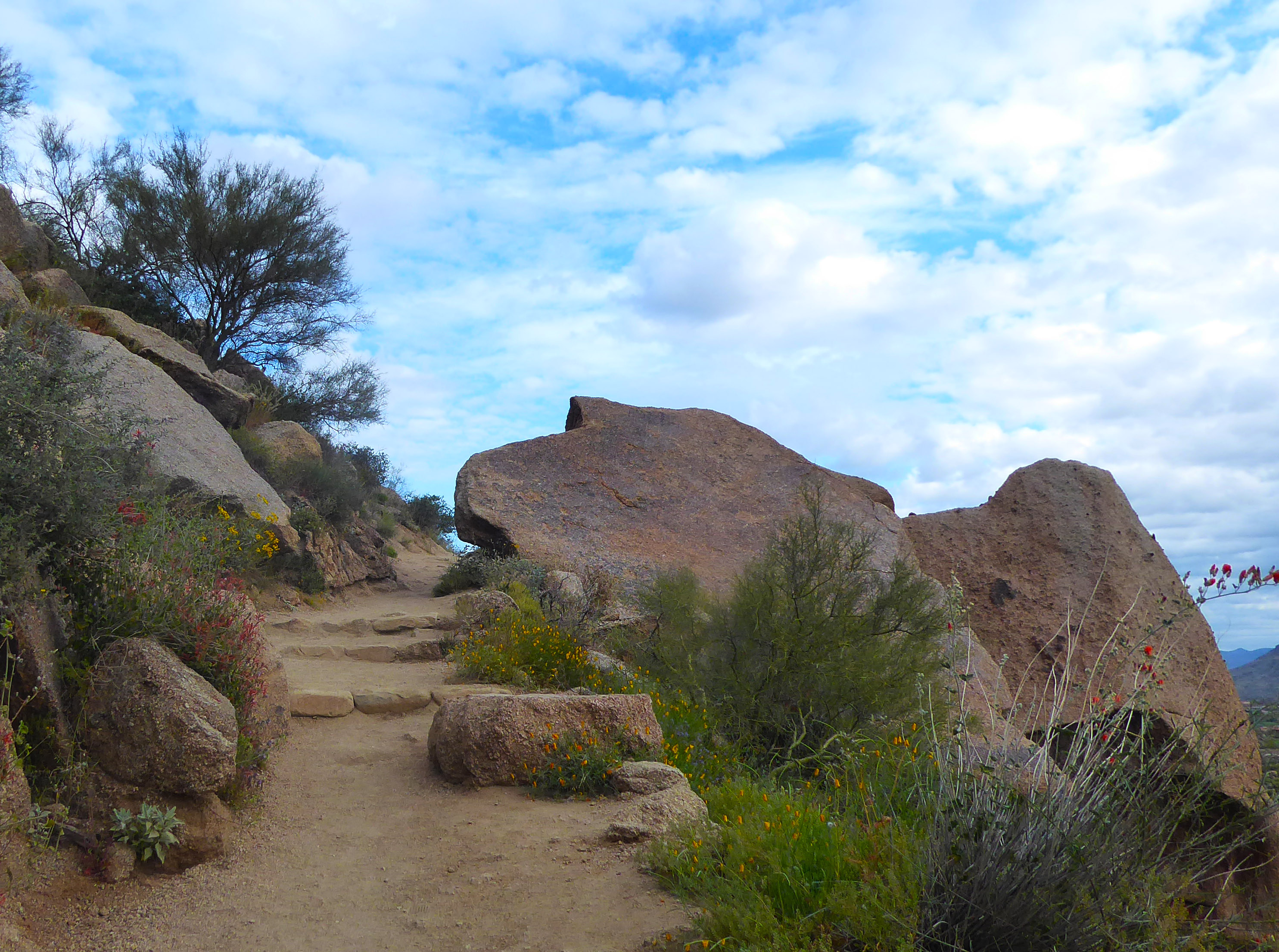
Compared to the beginning of this trail, these switchbacks are a tad more aggressive, with built in steps and steeper sections. I would compare the first section of this trail to an inclined treadmill workout and now this back portion is a stair climber type of workout.
Once at the end of trail, you will head back the way you came. When you’re planning your trip, remember this trail does not offer a lot of shade so be sure to bring your sunscreen. The park also does not allow dogs on the trail, so keep your pup at home while hiking this one.
Tags: Arizona, hike, Hiking, Phoenix, Pinnacle Peak, Scottsdale