Mesa Verde National Park is known for its world-class archaeological and anthropological treasures, but hikers may be left feeling a bit underwhelmed. Hiking is restricted to established trails, many of those trails have gates that keep them locked during certain hours or at certain times of the year, and the vast majority of them are fairly short.
However, if you’re looking for solid, moderate treks with beautiful scenery, there are still some wonderful options. The Petroglyph Point Trail is one of them.
This 2.7 mile loop trail takes you down past the Spruce Tree House, but then away from the crowds and into forested Spruce Canyon. You’ll walk past the park’s only accessible petroglyph site on a fun, rough-and-tumble trail built by the Civilian Conservation Corps, then backtrack on the mesa top, enjoying stunning views of the surrounding landscape.
It’s a wonderful trail in its own right — and can be combined in a figure-eight with the neighboring Spruce Canyon Trail if you want some extra trail time (if you want to combine, we recommend doing this route counterclockwise to avoid doubling the elevation gain).
This route begins near the park Headquarters and the Chapin Mesa Archeological Museum, which is worth a visit either before or after your hike is done.
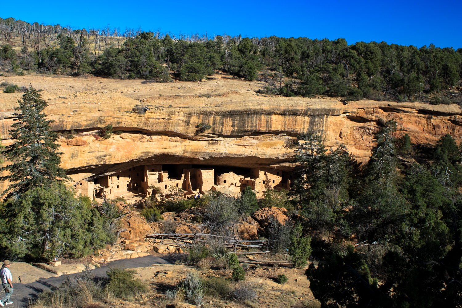
Head down the paved route and you’ll get a wonderful view of the Spruce Tree House almost immediately.

The Spruce Tree House is the fourth largest in the Park, with 130 rooms and 8 kivas. Like the other cliff dwellings, this was built by the Ancestral Puebloans in the 1200s after living in the area for more than 700 years. And like the rest, this was also abandoned in the late 1200s, most likely after decades of drought forced mass migrations throughout Western North America.
Spruce Tree House is named because there used to be a large douglas fir tree growing from the base of the dwelling all the way up to the top of the mesa. When white ranchers stumbled upon the House in the late 1800s, they climbed down the tree to access the archeological site.
After you’ve enjoyed a nice view of the House from here, continue down the paved path through a beautiful piñon pine forest and through a gate (the gate may be locked, so be sure to check with rangers beforehand) to the base of the dwelling ruins.


switchbacking down
At the bottom of the canyon, you’ll be near the base of the House, which you can tour with a park ranger guide. The Spruce Canyon Trail is also nearby. For this route, stay on the Petroglyph Point Trail and continue south beneath the rim of the mesa.
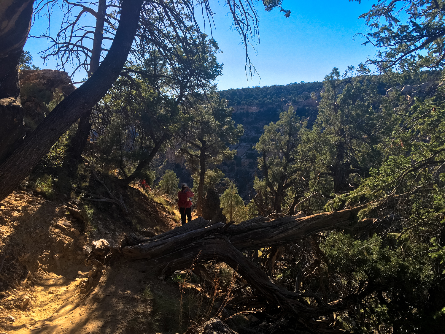
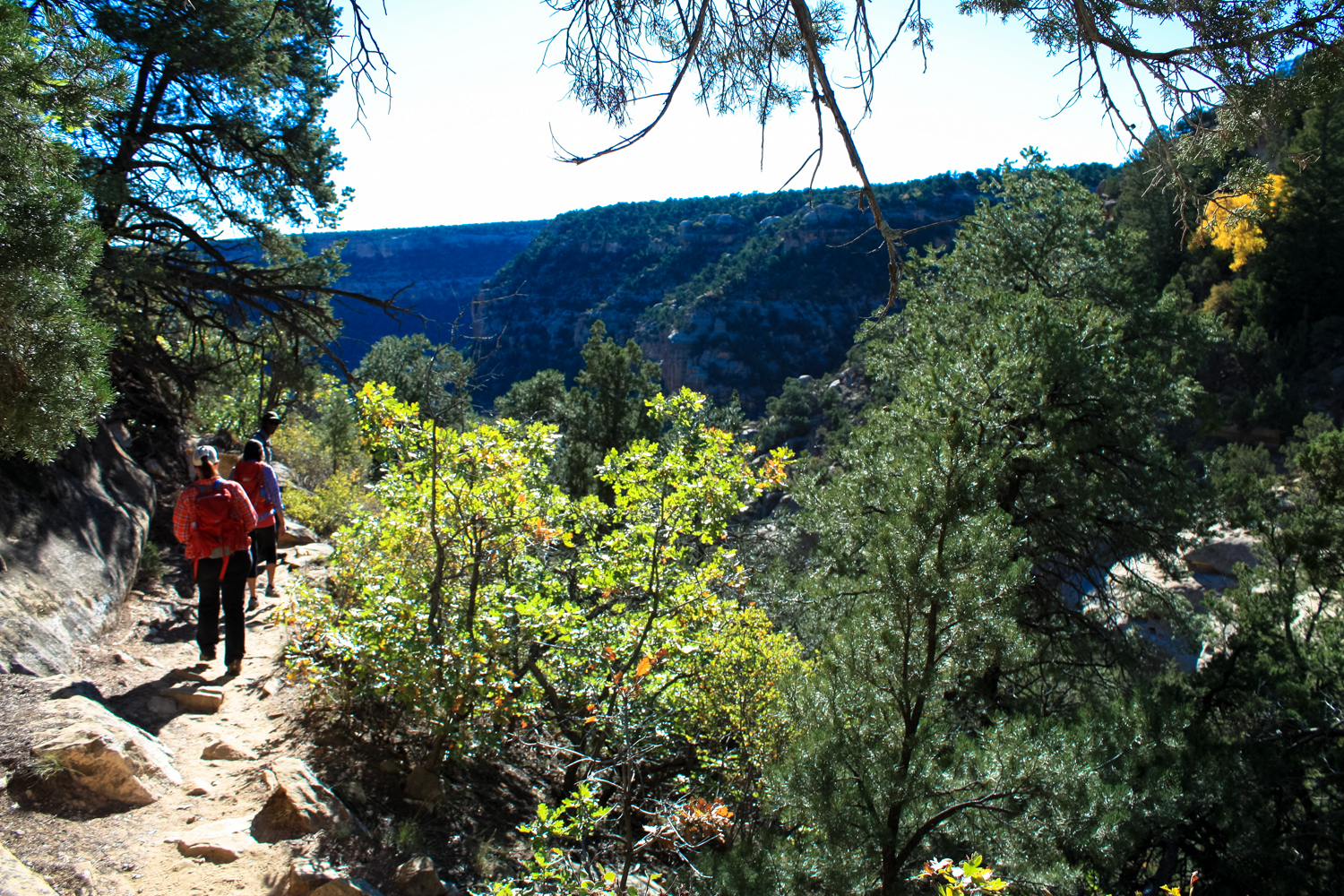
The trail here is heavily forested, and you are likely to have it mostly to yourself. The majority of visitors who trek down to the Spruce Tree House are there to see the house, and that’s about it — so soak in the scenery and quiet!


This route was built by the Civilian Conservation Corps during the Great Depression, which gives the trail a fun, handmade quality that stands in contrast to the paved section you made your initial descent on.
You also get to squeeze between and beneath giant boulders like this:


You will also get to enjoy expansive views of Spruce and Wickiup Canyons and their mesas, as well as lots of examples of desert varnish on the overhanging canyon walls.


At about the 1.3 mile mark, look up and to the east, and you’ll see the largest collection of petroglyphs accessible to hikers within the entire National Park. They can be easy to miss if you’re focused on just hiking or enjoying the scenery, so definitely take a few minutes to slow down before you start your ascent out to the mesa top!


At about the 1.5 mile mark, ascend a set of steep stairs built between some narrow rocks to make your way back onto the mesa top.
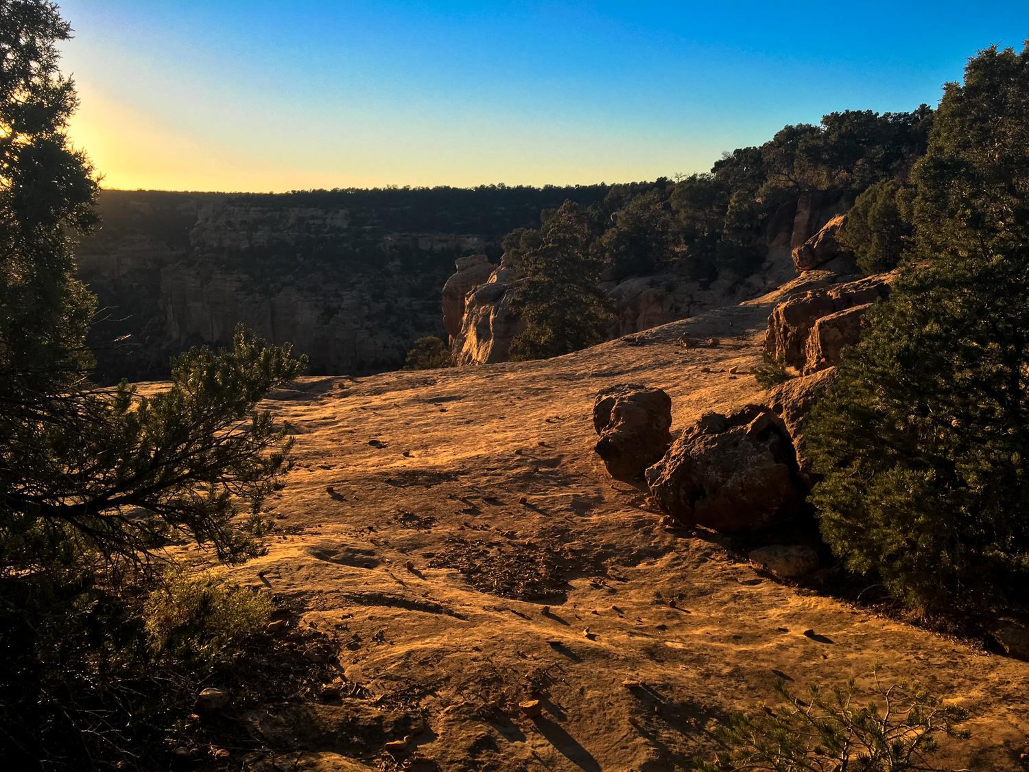
The trail basically backtracks to where you started from here, but because you’re on the mesa top instead of inside the canyon, the landscape will be different and the views are sweeping in every direction. If you can time this for the sunset ‘golden hour,’ you’ll have yourself some truly exceptional and unforgettable views.

The trail stays on the top of the mesa, taking you above the Spruce Tree House and returning you on the other side of the Chapin Mesa Museum.
Tags: Colorado, history, mesa verde national park, petroglyph point, petroglyphs


