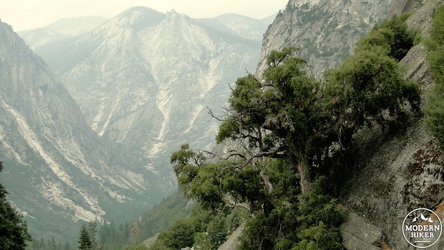
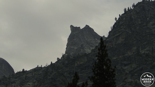
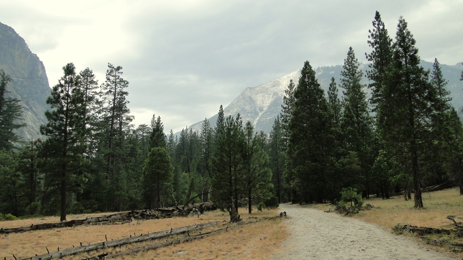
There is no way around it: Paradise Valley is flat out gorgeous. Whether it’s the close proximity to the thunderous Kings River, the cool thickets of cedars and ponderosa pines, the ingeniously carved-out trail, the stunning views down canyon toward the Sphinx, the thorough soaking you’ll receive from Mist Falls, or the relaxation in an icy pool of water where the river slows down to a crawl, this hike features the best of Kings Canyon National Park.
The trail to and through Paradise Valley is also part of the larger and extremely popular Rae Lakes Loop, which travels up Kings Canyon, along Woods Creek, through the Rae Lakes Basin, and then back down Bubbs Creek Canyon to return at the trailhead. This multi-day adventure runs the average hiker about 4-5 days, and includes a stretch along the John Muir Trail. The trail to Paradise Valley covers about 6 miles of the Rae Lakes Loop, although adventurous day-hikers and overnight backpackers can easily continue further into Paradise Valley for additional exploration.
For those not as keen on taking the full route to Paradise Valley described here, there is also the option of taking the slightly shorter 9.2 mile round-trip to Mist Falls, which this trail will pass before coming to the mouth of Paradise Valley. While 9.2 miles is not necessarily a short trip, it should be noted that there is not a lot of climbing on this trip, and the elevation is not as much of a factor as it would be in the High Country.
The trail, which is simultaneously dubbed “Woods Creek Trail” and “Sierra High Route,” starts out at aptly-named Road’s End. To make sure you are not confusing this route with the much more difficult Cooper Creek Trail, look for the permit station, which sits just before the actual trailhead. If you are backpacking on this route, this is where you will pick up your permits. The NPS typically reserves about 40% of its permits for walk-ups, but you would be advised to get here early, as anything along the Rae Lakes Loop is very popular. The station is open from 7:00 AM to 3:45 PM.
If you like to plot out your backpacking adventures in advance, you can reserve a permit by faxing in your permit at least two weeks in advance to the National Park’s Backcountry Office. Sequoia and Kings Canyon both begin accepting wilderness permits at midnight on the 1st of March. If you’re looking to backpack from the Road’s End Trailhead up either Bubbs Creek or Woods Creek, I advise getting your permits earlier rather than later, as the quotas fill up fast and walk-ups are not a given.
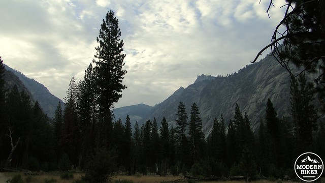
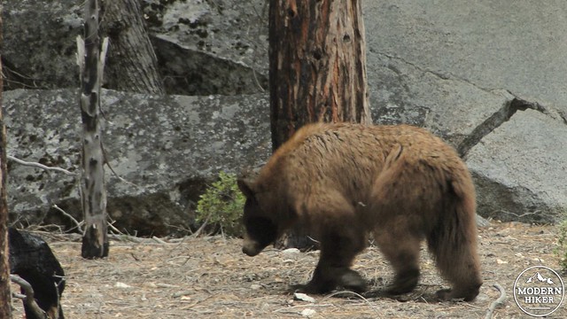
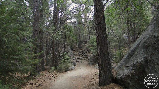
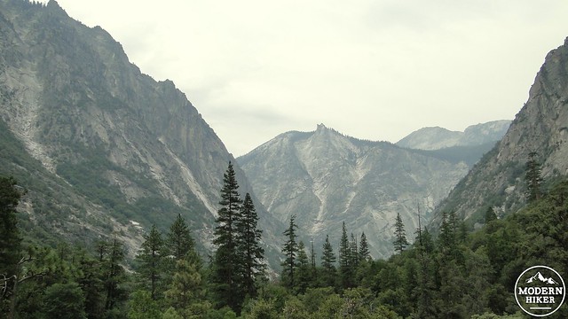
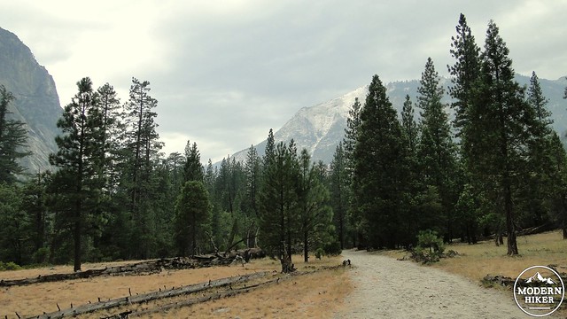
To begin the hike, walk past the permit station and enter a sunny forest of ponderosa pine, incense cedar, and black oak. This initial stretch will pass over nearly flat terrain on a wide, sandy trail. If you take this hike early in the morning, you are most likely to see a bear on this section. Over the past 5 years, I’ve hiked this three times, and each time I’ve seen a bear right around the first mile of the hike. You’ll see the towering cliffs of Kings Canyon rising up above your head and casting deep shadows in the morning and evening. Kings Canyon may not get the notoriety of its famous sister to the north due to its lack of famous rock formations, but it is also a deeper canyon, which creates a higher sense of drama.
The trail next enters a swampy section that can be the bane of mosquito magnets (bring deet in the warm summer months). Just past this swamp, the trail splits off at a large steel bridge. If you cross the bridge, you’ll enter the Bubbs Creek Trail, which climbs over many miles up to Vidette Meadow, where it junctions with the John Muir Trail. If you turn left, you will join the Woods Creek Trail, which travels many miles through Paradise Valley before also junctioning with the John Muir Trail. Take the left, and begin a moderate climb along the banks of the Kings River.
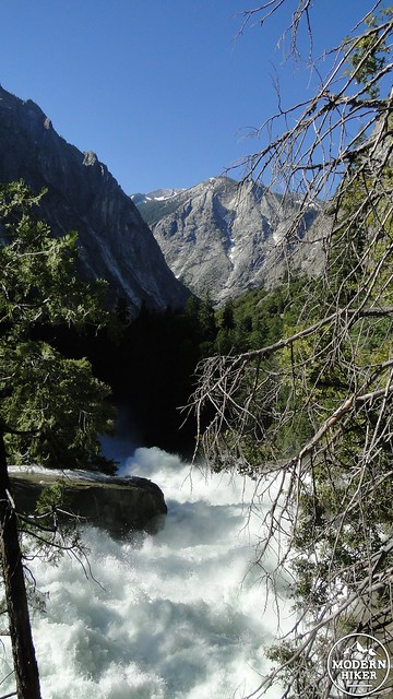
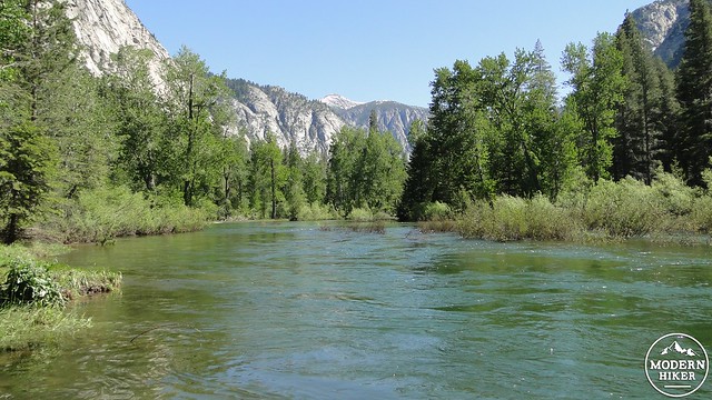
The Kings drains a substantial portion of the Sierra Nevada, and can therefore be an immensely powerful river in the early season. You’ll notice a few signs indicating the dangers of getting too close to the river, but if you happen to come in May or June after a normal precipitation year, you will see for yourself just how powerful (and loud) the river can be. Later in the season, the river is more tranquil, and it may be more tempting to enter for a cool down at various points where the trail approaches the river. This is a wonderful way to spend some time, but it is important to remember not to underestimate the current. It may look peaceful on the surface, but the underlying current could be enough to sweep the unwary swimmer away.
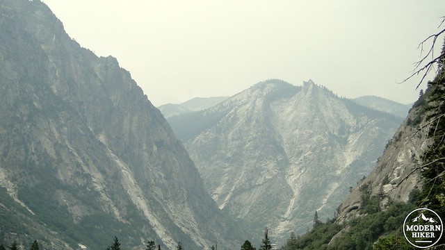
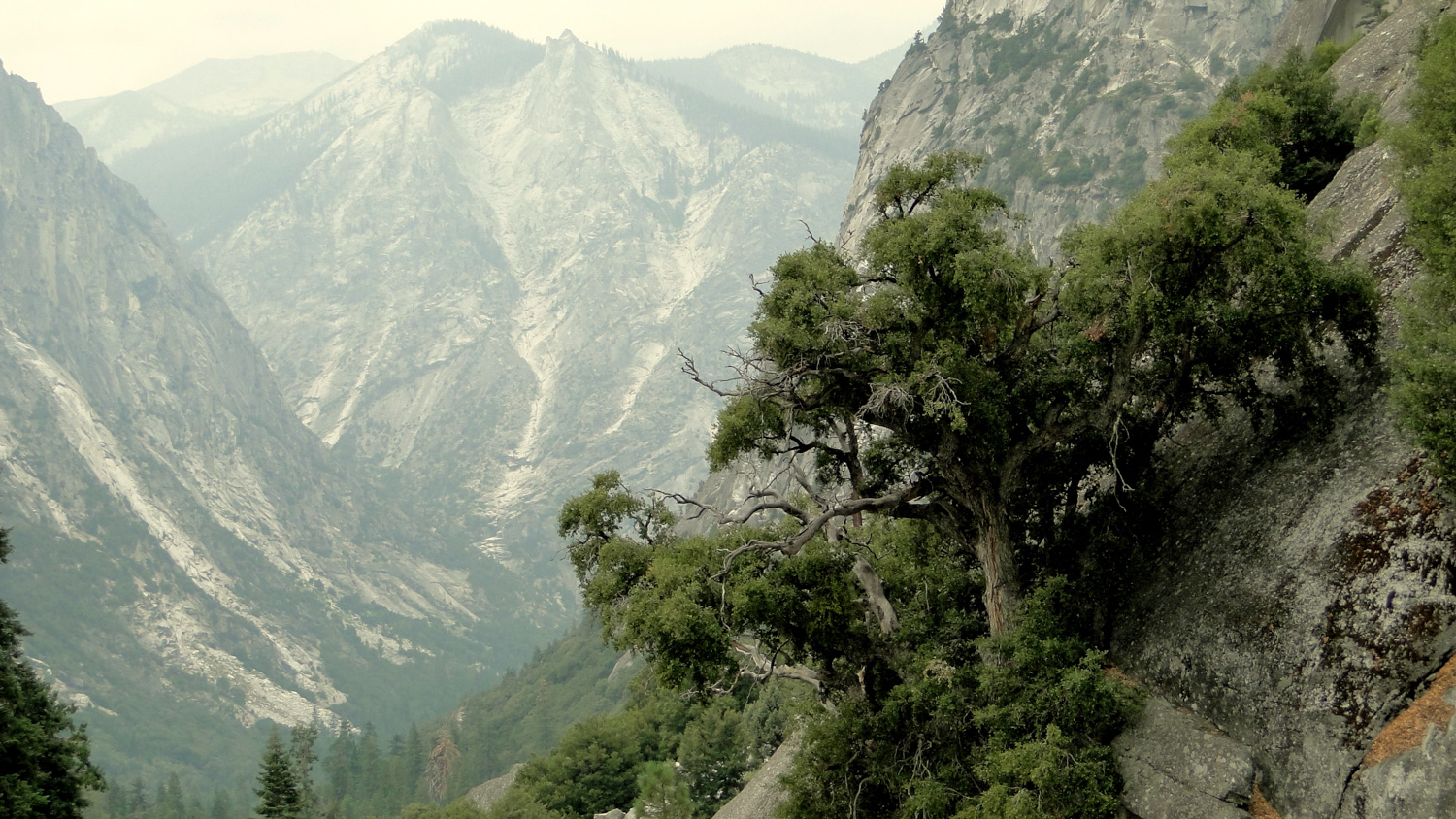
For the next few miles, the trail alternates between rocky, open sections, swampy sections along the river, and cool forested sections in-between. The further up the canyon you get, the more impressive the views back down canyon become. If you stop and look behind you from time to time, you will see the steep, nearly sheer walls of the canyon sloping down into the characteristic U-shape of a glacial canyon. The backdrop for this will be the aptly named Sphinx formation, named for a rock pile surrounded by avalanche chutes that looks very much like a Sphinx.
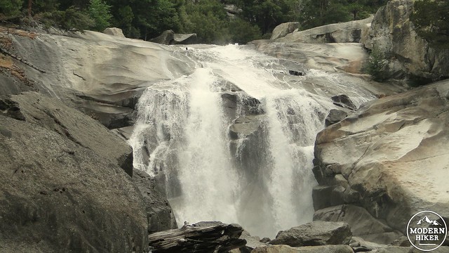
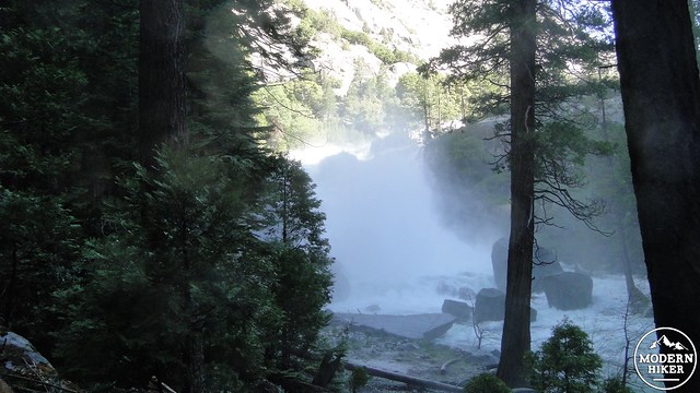
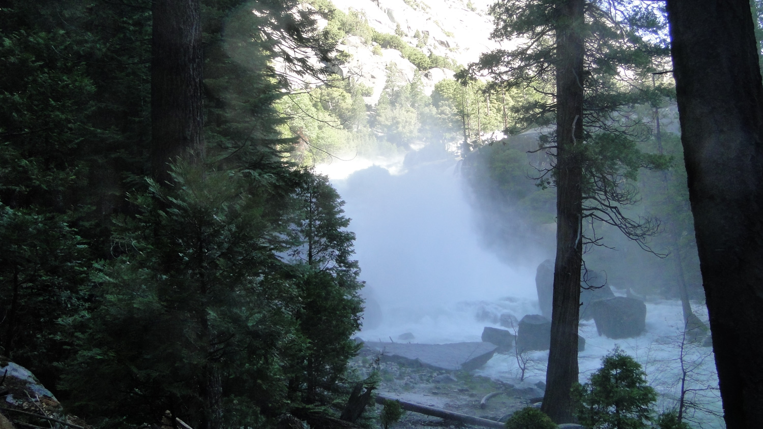
At 4.6 miles, you will reach a bowl where the Kings River thunders over a cliff and churns up a huge cloud of mist that is enough to soak anybody within 50 yards (depending on the volume of the river at the time). This is Mist Falls, and it also a great place to stop if you don’t wish to continue on to Paradise Valley. There are enough places to sit and bask in the cool, refreshing spray to make this an ideal break spot or turn-around spot. Just be careful not to get to close to the rocks which can be treacherous when wet.
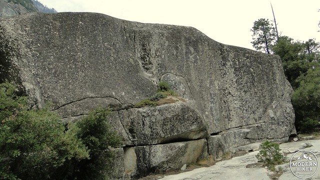
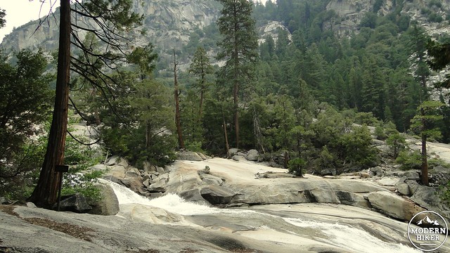
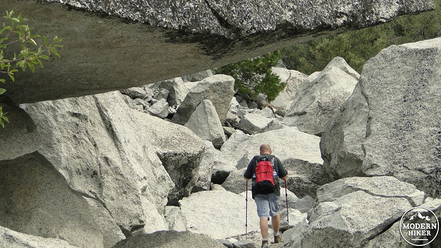
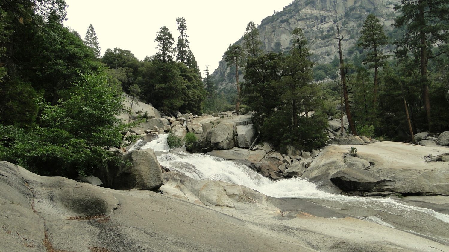
If you elect to continue past Mist Falls, the trail will begin a quick climb before passing a long stretch of cascades over huge granite slabs. This section is just as exciting as the falls itself, especially when the water is high. The trail will then begin the toughest section of climbing as it switchbacks up a steep section of the canyon. The views back down canyon become more spectacular with every step, and you’ll have to be careful not to twist your ankle from turning back so often.
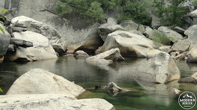
After about a mile past the falls, you will come to a point in the river where the water slows down and pools up to form something of a swimming hole. This is a great place to take a dip in the icy waters of the river. However, you should only enter the water if the water level is low. Trying to swim here in May, June, and even through July following a wet winter will be exceedingly dangerous and should therefore be avoided. If you come here during August or September, and the water level is low, this would make for some excellent wading, but do keep in mind that the river still has a strong current, especially before any kind of cascade.
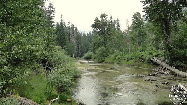
Just beyond this section, you will reach what looks like the top of a moraine. Just past this section, you will notice a huge pile-up of bleached logs that have jammed in this narrow section of the river. This is the entrance to Paradise Valley. Beyond this point, the canyon flattens out, and the river slows down considerably. You’ll probably see a lot of cottonwoods and aspens lining the river’s banks, which would provide a colorful treat late in the season. The track turns around at this point, mainly because the mosquitos were lining up at the buffet on the day I tracked this hike. However, if you were to continue on, you would eventually come to the campsites around 13.5 to 14 miles, which also marks a good turnaround point or destination if you are backpacking.
There are a number of other spots along the river as you go up canyon, or even as you return, where you can plop down and make a day of it. Given that this is a longer, more strenuous hike, a mid-hike break with snacks and even a light siesta may be exactly what the doctor ordered. After you’ve followed your nature prescription, you will retrace your steps down canyon until you come to the Bubbs Creek Junction, at which point you will turn right and return back to Roads End. If you find yourself in dire need of a tasty treat, Cedar Grove, which is just down the road, will have all kinds of snacks on which to nom nom nom.
Note:
– My GPS did not enjoy being told to create a track under the cover of thick forest at the bottom of a narrow, steep canyon. It showed its displeasure by wigging out at one spot, which shows up on the elevation plot as a sudden spike in elevation. You will not be able to follow the track literally. However, the trail at this point is very obvious, so you won’t end up losing your way.
– There is a $20 use fee for entering Kings Canyon National Park. If you’re a frequent flyer to the country’s National Parks and Monuments, the National Park Annual Pass would be an excellent investment. For $80, you have unlimited access to the National Park System for a full calendar year.
– While this post links to information found on Hipcamp, thus leaving the camping info to the professionals, it is this writer’s personal opinion that, of the four campgrounds in Kings Canyon, Moraine Campground is the nicest. It is closest to the hiking, for starters, but it is more spacious and less visited than the other two tent sites, which I believe makes for a more enjoyable camping experience.
– Black bears are present on this hike, and it is also possible that you may encounter rattlesnakes. Viewing both animals can be a safe, enjoyable, and exciting experience provided that you maintain a safe distance. Never try to approach a bear or a rattlesnake. Chances are they want as much to do with you as you want a trip to the hospital. If left alone, they will likely be on their way and therefore out of your way before long.
Tags: Bubbs Creek, king's canyon national park, Mist Falls, Paradise Valley, Rae Lakes Loop, Roads End, Woods Creek


