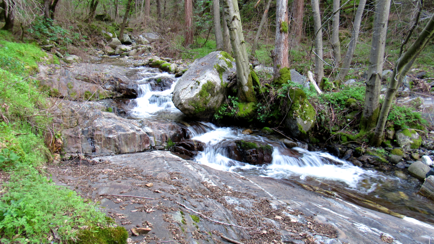
Aptly named Paradise Creek and its attendant canyon offers a glimpse at the unexpected side of Sequoia National Park. Although you won’t find the towering cinnamon-colored pillars so common throughout Giant Forest, this lower elevation jewel features numerous cascading waterfalls, lush riparian vegetation, seasonal wildflowers, and a surprising degree of solitude despite its proximity to a hub of foothill activity.
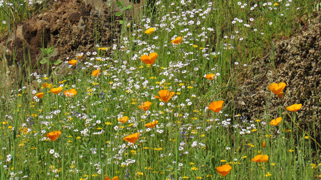
Like most routes in the Sequoia foothills, seasons determine how much enjoyment you’ll get out of the hike. Summer temperatures in the foothills often reach brick-oven levels, making hiking here tedious and even dangerous. Fall and winter offer milder temperatures, but you are less likely to witness impressive water flow or wildflower displays. The optimal time for visiting this canyon and any other foothill hike is during spring, especially March and April at the peak of the wildflower bloom and beginning of the snowpack melt.
Another consideration to bear in mind: The park closes the road to Buckeye Flat Campground (this route’s starting point) between October and March. If you plan on visiting during these times, you will have to walk in from the Hospital Rock parking area. Likewise, there is no day-use parking in Buckeye Flat, so unless you are camping there, you will have to walk in. I reflect this extra road walking in the trip distance. If you are able to start directly from Buckeye Flat because you are camping there, you can shave off 1.2 miles of road walking (round-trip).

Starting from Hospital Rock, be sure to take a few pre-hike diversions that showcase the region’s early history. This area once served as a major Monache village. The flat, resource rich area adjacent to river provided an ideal dwelling place, and historical records indicate the presence of an ancient trail running from this area up the ridge to Moro Rock. For the semi-nomadic Monache, this route allowed for hunting and gathering in the Giant Forest, and the path was likely the route that Hale Tharp – the first European to visit Giant Forest – followed to see the big trees for the first time.

Among these diversions are a pictograph panel that received its name thanks to the local Monache treating a friend of Tharp’s for an injury nearby. A large slab of morteros – grinding stones used to process seeds and acorns into meal – lies across from Hospital Rock. A staircase leading down to the banks of the Kaweah and a large rock cave also should not be missed.
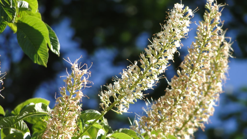
After following the road to Buckeye Flat Campground, find the Paradise Creek Trailhead adjacent to campsite 28 on the east side of the campground. Follow the narrow trail through a grove of California buckeyes with a grassy understory. The buckeye tree produces a beautiful, wonderfully scented blossom during mid-spring, with numerous flowers borne upon a 12-18” long panicle. Continue through the grove for 0.2 mile to reach a bridge over the Middle Fork Kaweah River.

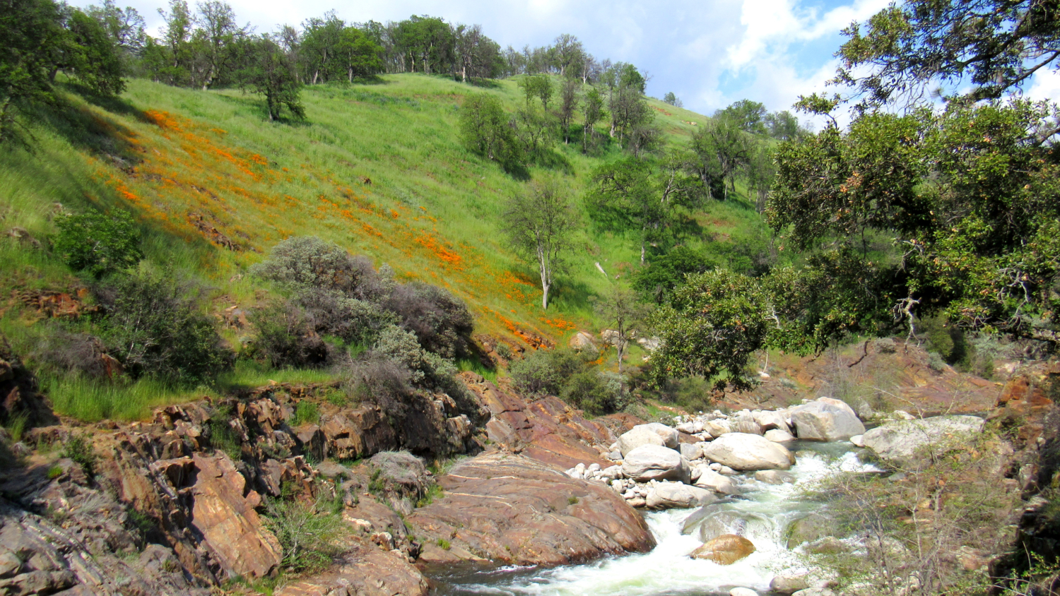
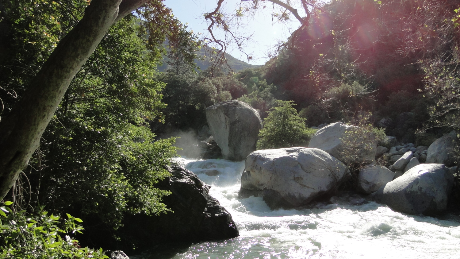
At the bridge, you get a fine look at the thundering Kaweah, which swells to impressive proportions following a winter’s worth of snow. By mid-spring, the river is approaching its peak thanks to high elevation snowmelt, causing it to thunder over truck-sized boulders in impressive cataracts with a deafening roar.

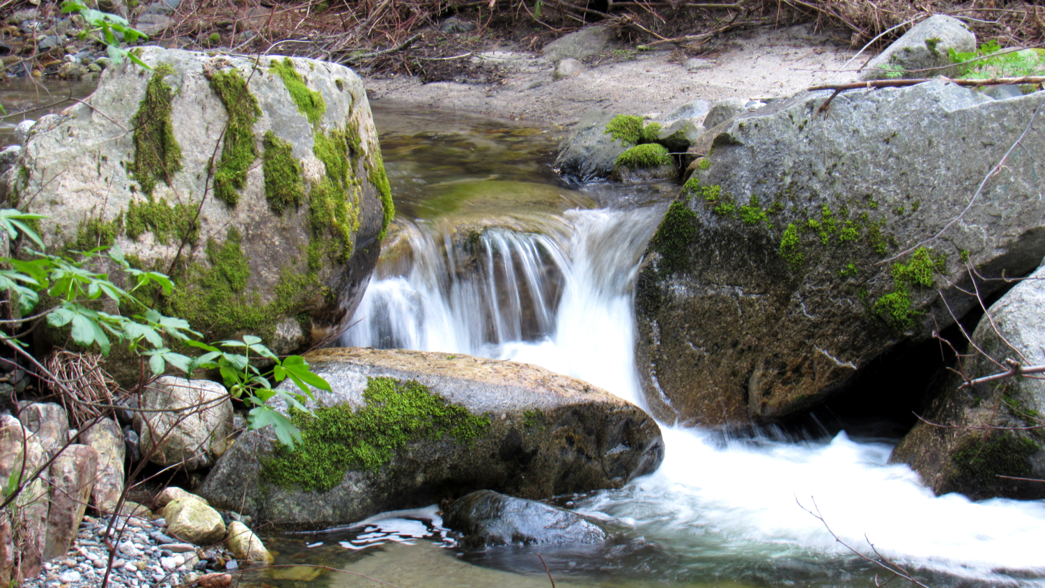
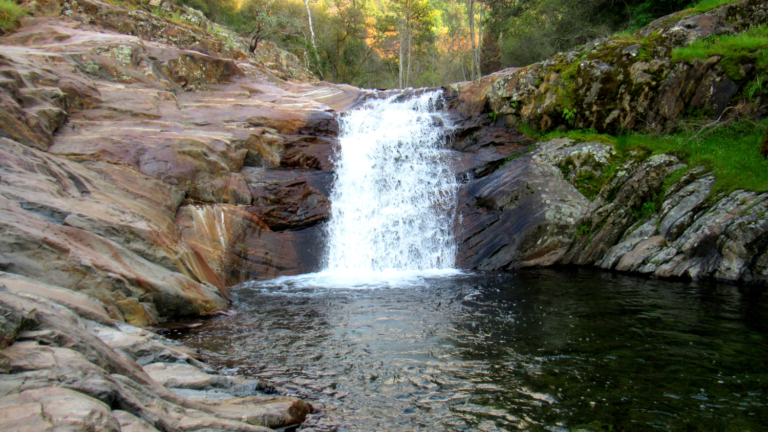
On the other side of the bridge, you can follow the main branch of the trail, which is distinct from a side-path leading away on the right, into a copse of buckeyes, alders, and conifers. Many of the conifers – specifically ponderosa pines and cedars – have struggled under 5 years of drought, and the conifer mortality from bark beetles will be readily apparent. However, a delightful treat – a 15-foot cascade where Paradise Creek spills into a small, metamorphic rock punchbowl – awaits on the other side. A short side path leads down to the cascade at 0.9 mile.

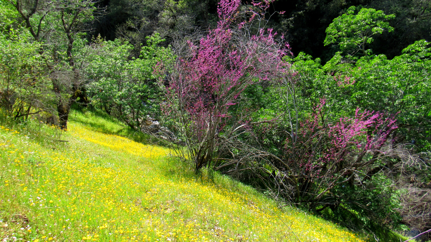
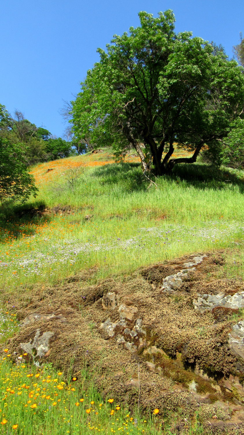
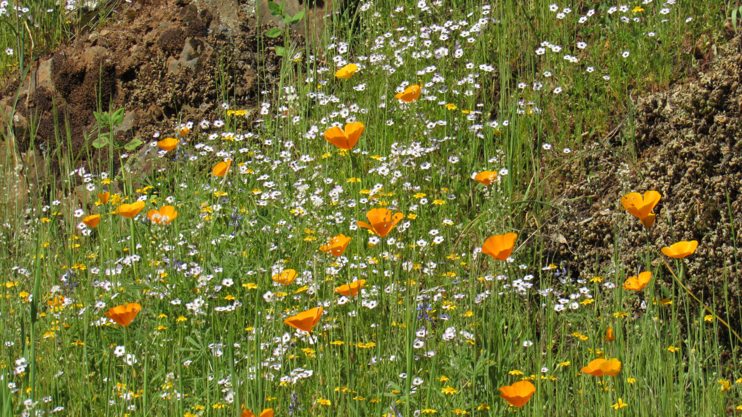
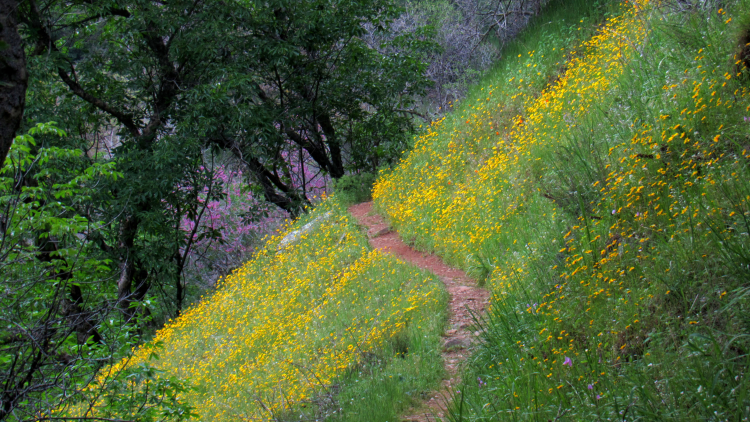
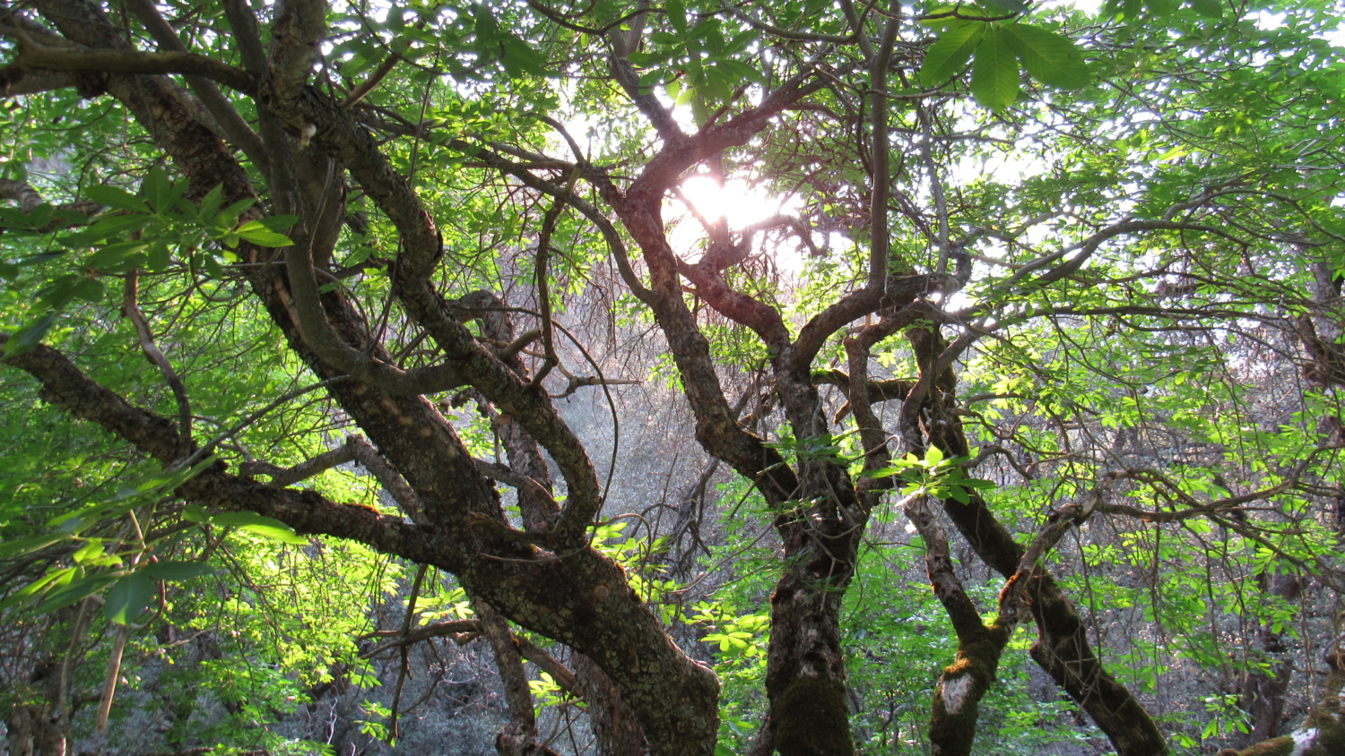
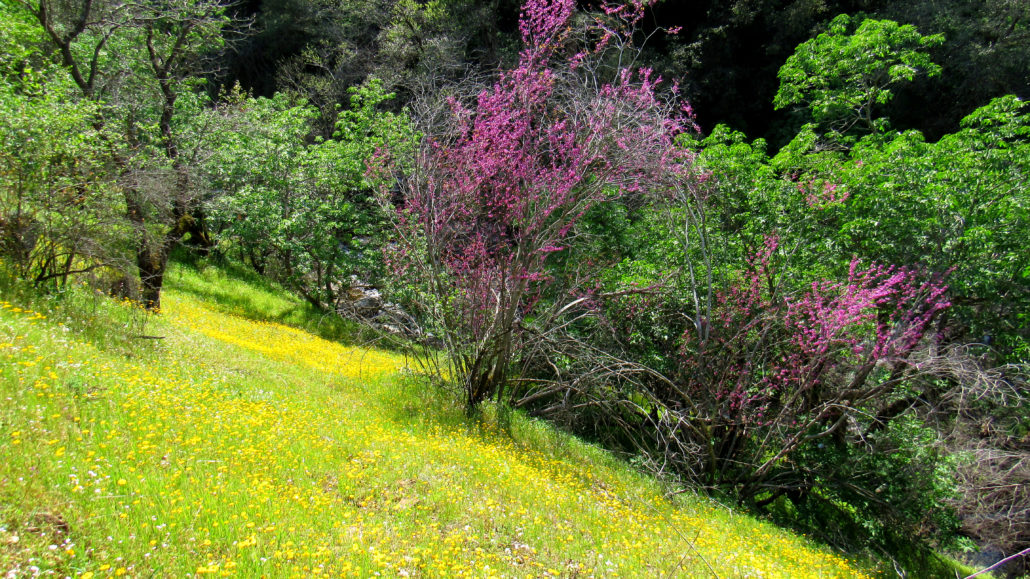
As the trail begins to climb away from the cascade, it plunges into a forest of evergreen and deciduous broadleaf trees, including canyon live oaks, California bay laurel, California buckeye, redbud, and riparian trees like alders, Bigleaf maples, and sycamores. The spring-time understory is rich with wildflowers, forming a colorful carpet along the steeply sloping hillsides. Down below, the creek splashes over numerous granite boulders, creating a multi-toned drone of bubbling, splashing, gurgling, and rumbling. Paradise indeed.
Despite the idyllic nature of the area, be warned that ticks are abundant, particularly during spring. These revolting parasites lie in wait on branches for an approaching warm-blooded host. Once they hitch a ride, the tick finds a reasonably sheltered patch of soft skin where they bury their heads and begin to suck blood. In exchange, they pass on a delightful cocktail of bacteria. Frequent tick checks and light-colored clothing will enable hikers to catch them in the act.

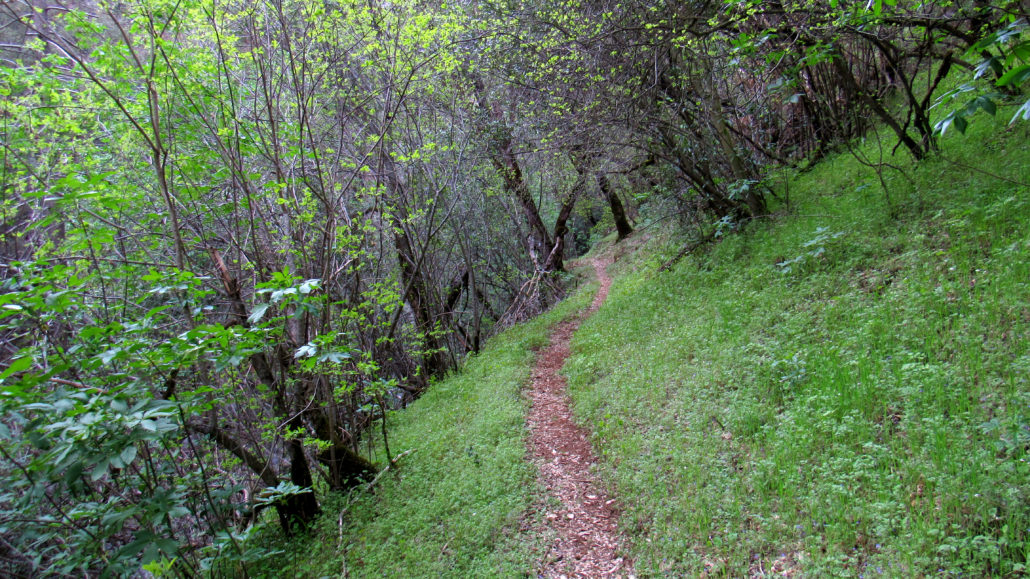
The trail continues along in this manner for 1 mile, generally keeping between 50-100’ above the creek. The maintained trail ends at a creek crossing 1.8 miles in from Hospital Rock, and from here, the trail gradually becomes rougher and more overgrown, although never prohibitively so. After a short stint through a dense forest on the west side of the creek, the trail re-crosses the creek at 1.9 miles and resumes its climb through a dense forest of mixed-conifer and oak.
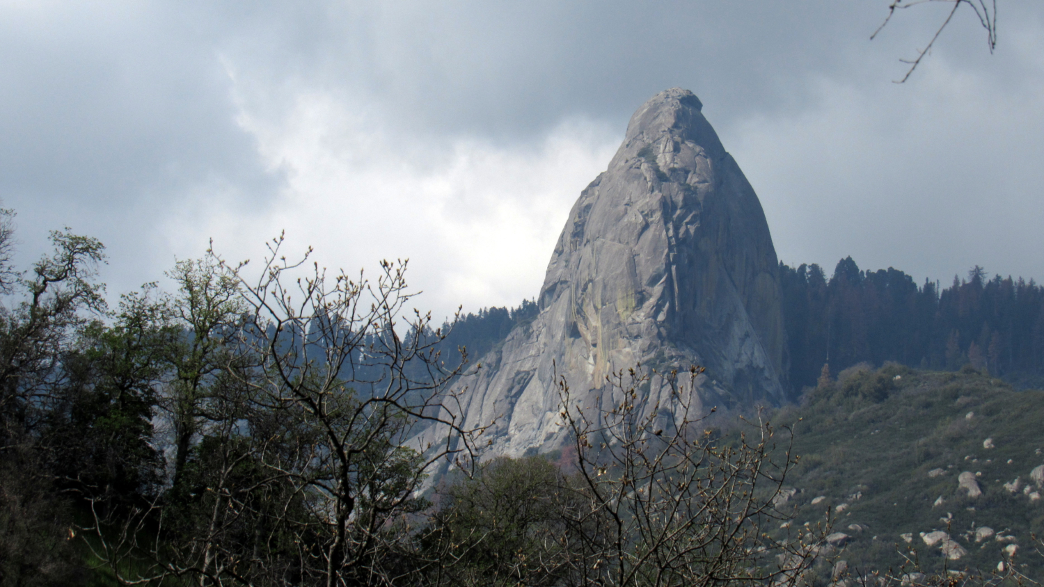
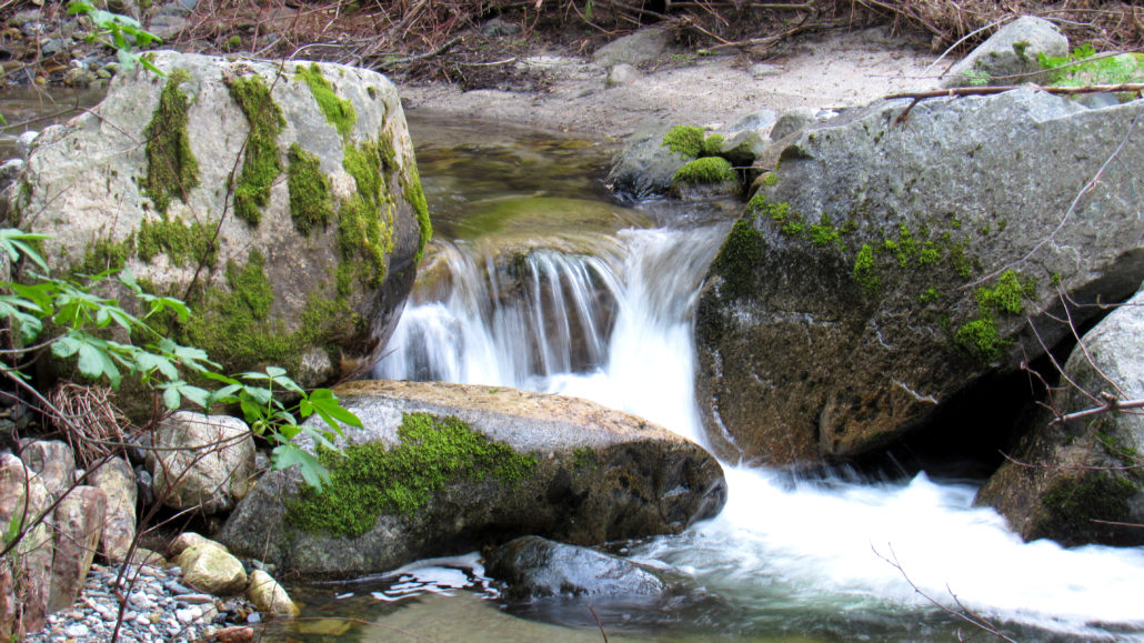
At 2.4 miles, the trail veers left away from Paradise Creek to follow a tributary canyon. Initially, the creek in this canyon runs underground unless during periods of peak run-off. As you progress up-canyon through the ever-denser forest, the creek re-appears. Finally, at 2.9 miles, you reach the end-of-the-line at a modest 10-foot waterfall. Traces of the path continue from this point, but you won’t gain much by continuing. This long-abandoned path once continued uphill toward the Castle Rocks and Paradise Peak, but following the route is only an option to skilled hikers with excellent navigation skills and a high tolerance for bushwhacking.

Tags: Buckeye Flat, Hospital Rock, Kaweah River, Monache, Moro Rock, Paradise Creek, waterfalls, wildflowers