Located in the Chuckanut Mountains south of Bellingham, Oyster Dome is a classic coastal hike in northwest Washington. A short but moderately challenging trail, the hike to Oyster Dome offers birds-eye views over the San Juan Islands from 2,000-foot heights. If you’re looking for a quick morning or after-work trek near Bellingham, Oyster Dome is tried-and-true.

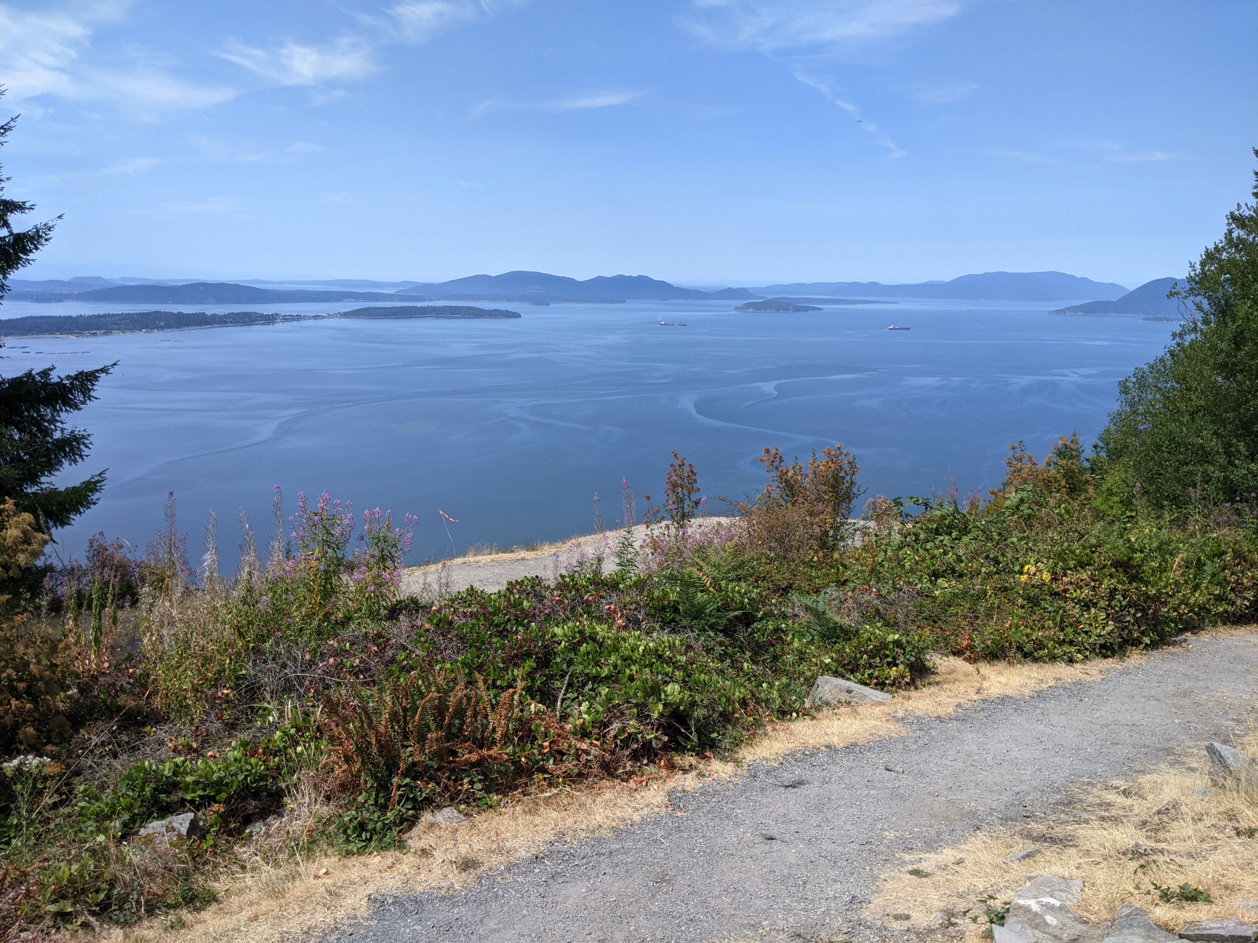
Samish Overlook
Hiking to the dome is a rite of passage for Bellinghamsters. I’ve hiked this trail countless times over the years, and while busy on weekends, it’s a delightful midweek outing. Views are great from the Samish Overlook parking lot alone. You can peer south over the fields of Skagit Valley and west to the islands. Sometimes, you’ll even see hang gliders launching from here. When you’re ready to begin hiking, head to the large info board in front of the parking lot.

From the info board at Samish Overlook, follow the gravel path north to the signed Pacific Northwest Trail (PNT). Immediately enter the mixed second-growth forest, where big leaf maple, cedar, and Douglas fir trees provide plenty of shade. Watch your footing on this rocky, rooty trail. At 0.4 miles, continue straight at the junction. The trail to the left descends to Chuckanut Drive — an alternate access point (described below).

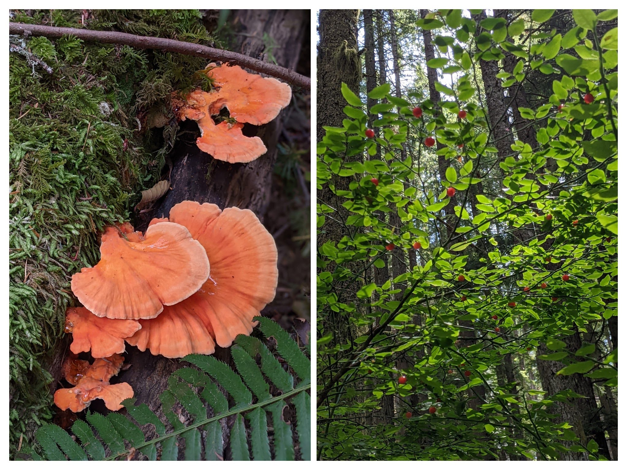
From here, the trail begins to climb. Listen for woodpeckers in the trees, and keep your eyes peeled for red huckleberries in the summer. At 1.3 miles, an enormous erratic — a rock transported by a glacier or iceberg — towers over the trail. You’ll begin to notice remnants of old logging cables in this area, too. Continue climbing, reaching a series of switchbacks where Washington Trails Association volunteers have improved the trail. I spent one day on a trail crew here and can attest to the hard work these volunteers put in to keep our trails maintained.

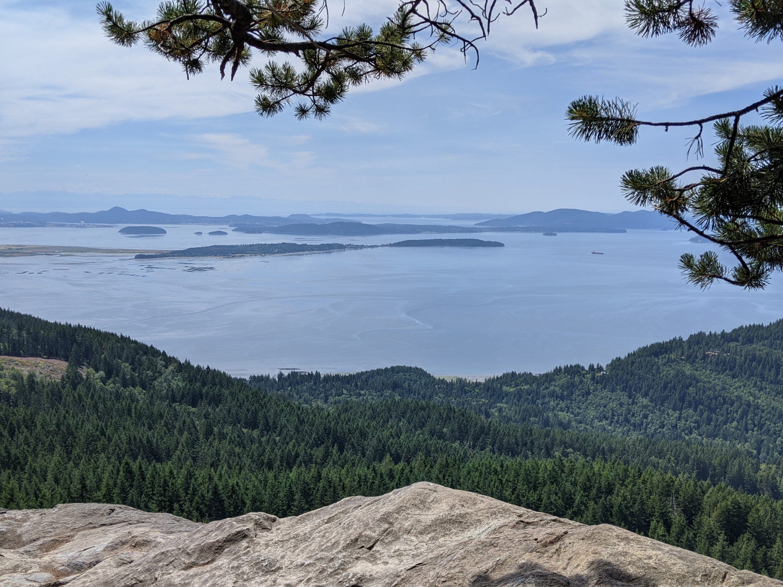
At 1.9 miles, reach the end of the switchbacks and a trail junction. Head left for Oyster Dome (the trail to the right leads to Lily and Lizard Lakes). Climb the final, steep 0.3 miles to the top of the dome. A rocky outcropping atop Blanchard Mountain, Oyster Dome rewards you with 180-degree views of the Salish Sea and San Juan Islands. From this nearly 2,000-foot perch, you can look for oyster beds in Samish Bay below — and see how many islands you can name. It’s an excellent lunch spot, with plenty of room to spread out. Stay well away from the edge!

Oyster Dome
For a 4.5-mile round trip hike, return the way you came. There are many options for extending this hike — adding on such destinations as Lily Lake, Lizard Lake, and North Butte. Returning from any of these destinations via Max’s Shortcut makes for a great loop (and adds some mileage). Consult the trailhead map to plan your route before setting out.

Fungi and red huckleberries
Access from Chuckanut Drive
While hikers are encouraged to begin from Samish Overlook, Oyster Dome is also accessible from Chuckanut Drive. There is no parking lot off the highway, but you’ll usually see the shoulder lined with cars on sunny weekends. If parking here, make sure your vehicle is safely off the road and be careful when crossing the busy highway. Starting from Chuckanut Drive adds 2 miles (round trip) and 900 feet of elevation gain to this hike for a total of 6.5 miles round trip and 1,900 feet of elevation gain.

Tags: Bellingham, Blanchard State Forest, Oyster Dome, Puget Sound, Washington State